The Kenai Peninsula: Homer and then back to Hope

A Lovely Quote

“Twenty years from now you will be more disappointed by the things that you didn’t do than by the ones you did do. So throw off the bowlines. Sail away from the safe harbor. Catch the trade winds in your sails. Explore. Dream. Discover.”

MARK TWAIN

The mountains surrounding Homer, Alaska
The Homer “Spit”

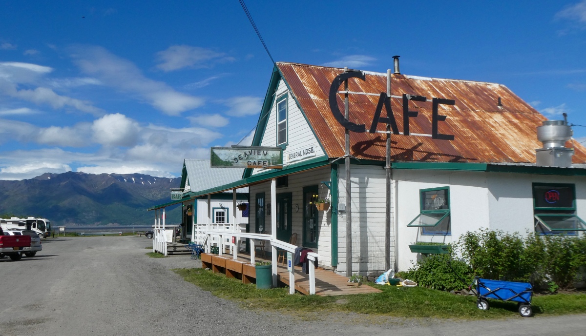
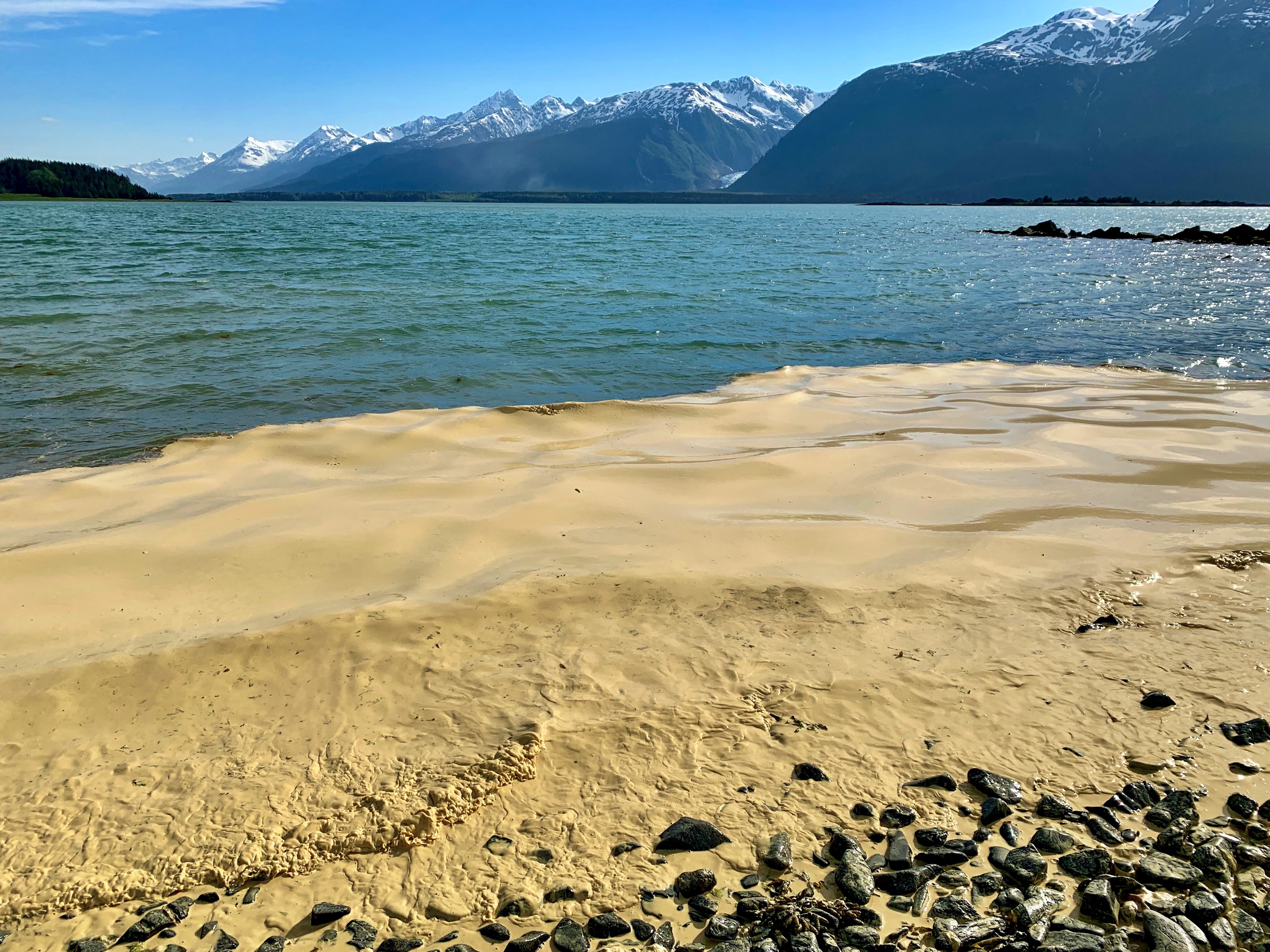
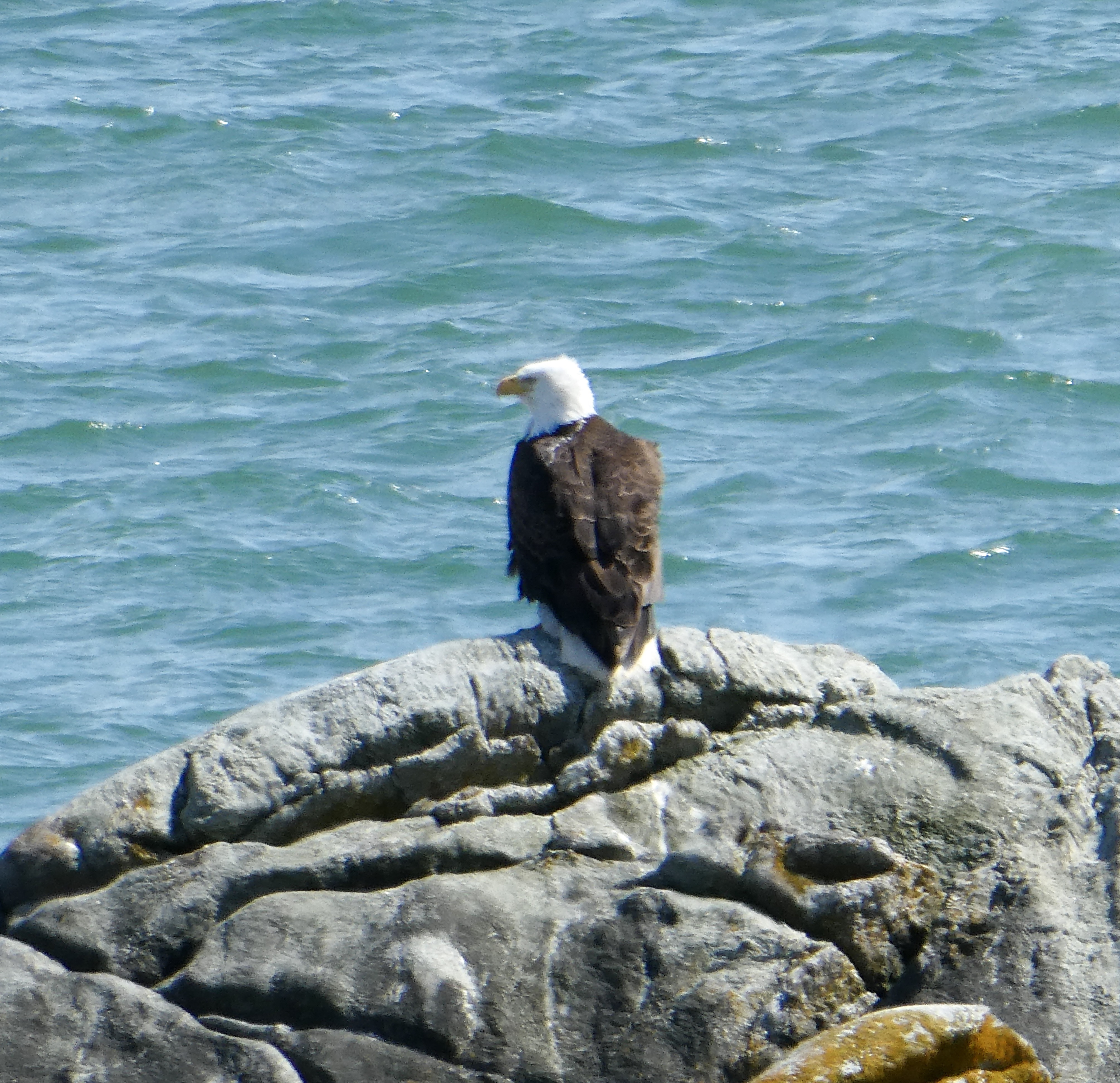
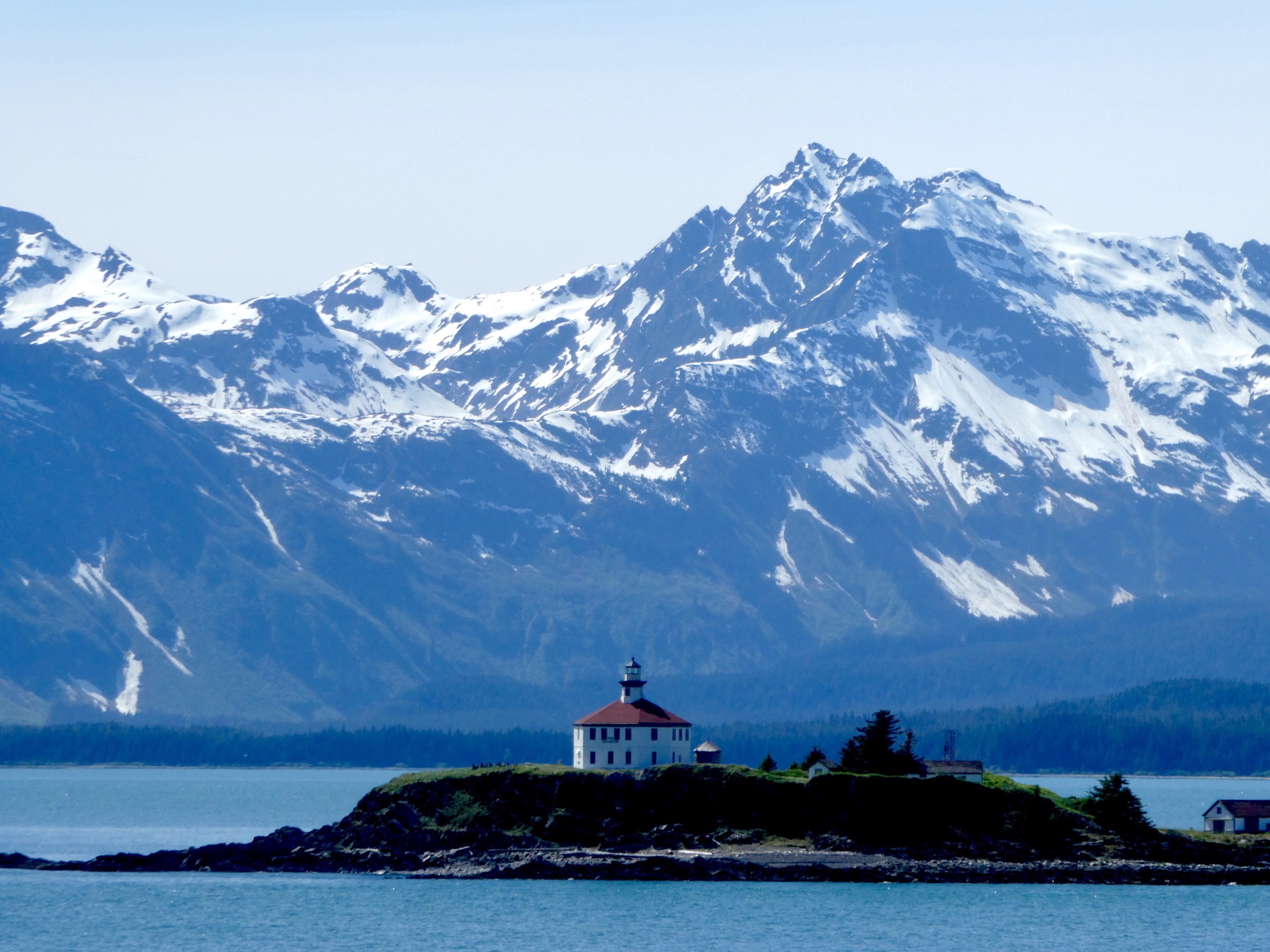
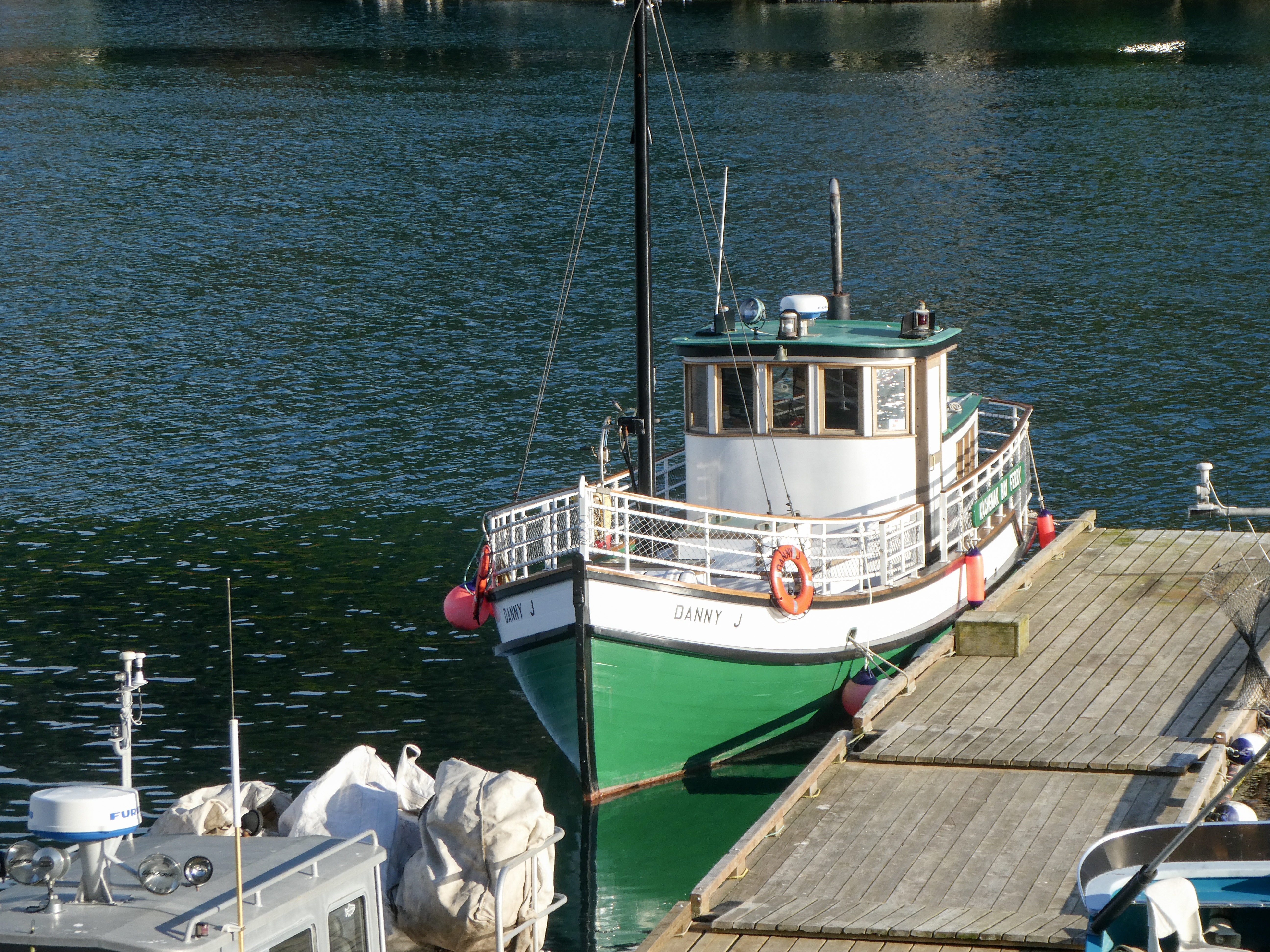
“Homer is a small city on Kachemak Bay, on Alaska’s Kenai Peninsula. A focal point is the Homer Spit, a long strip of land with shops, art galleries, seafood restaurants and beaches (mostly tacky, in my opinion). Fishing boats dock at its harbor. Galleries also cluster on Pioneer Avenue, near the Pratt Museum, which shows local art and artifacts, including a pioneer cabin. The Alaska Islands and Oceans Visitor Center has wildlife exhibits.”

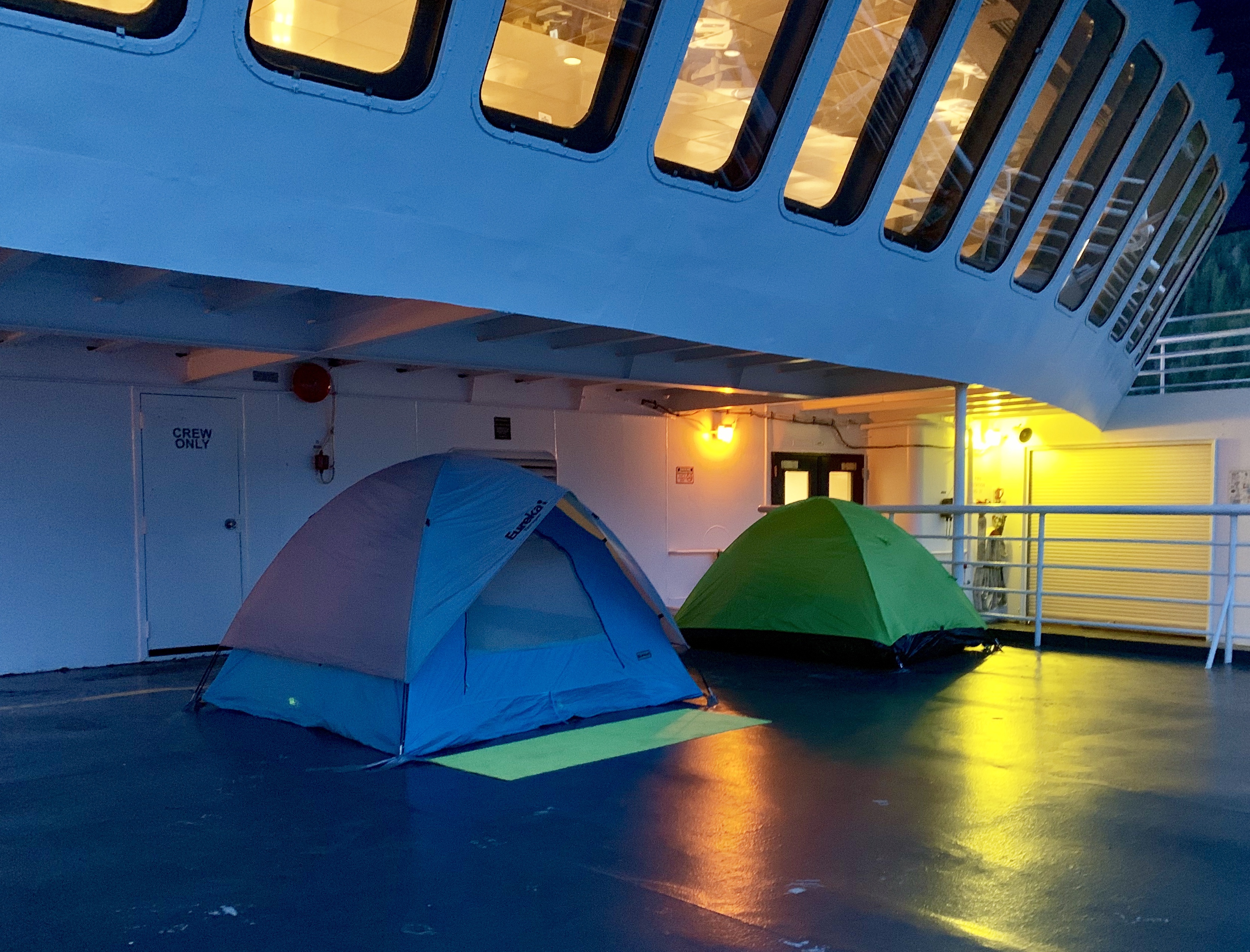
Needing showers, we checked into a B&B, then scoped out campgrounds on the Spit for tomorrow night.

Captain Pattie’s Seafood on the Spit

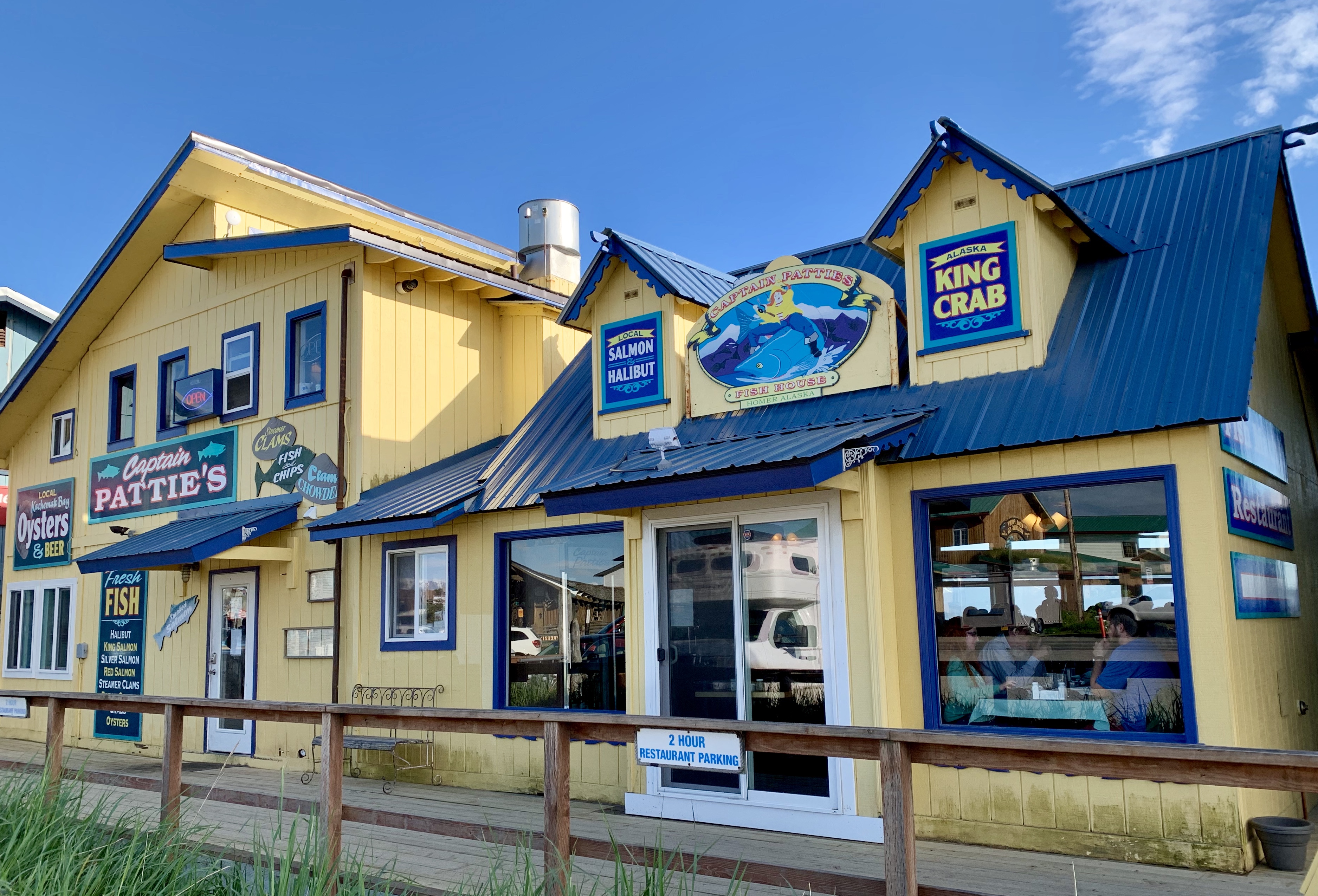
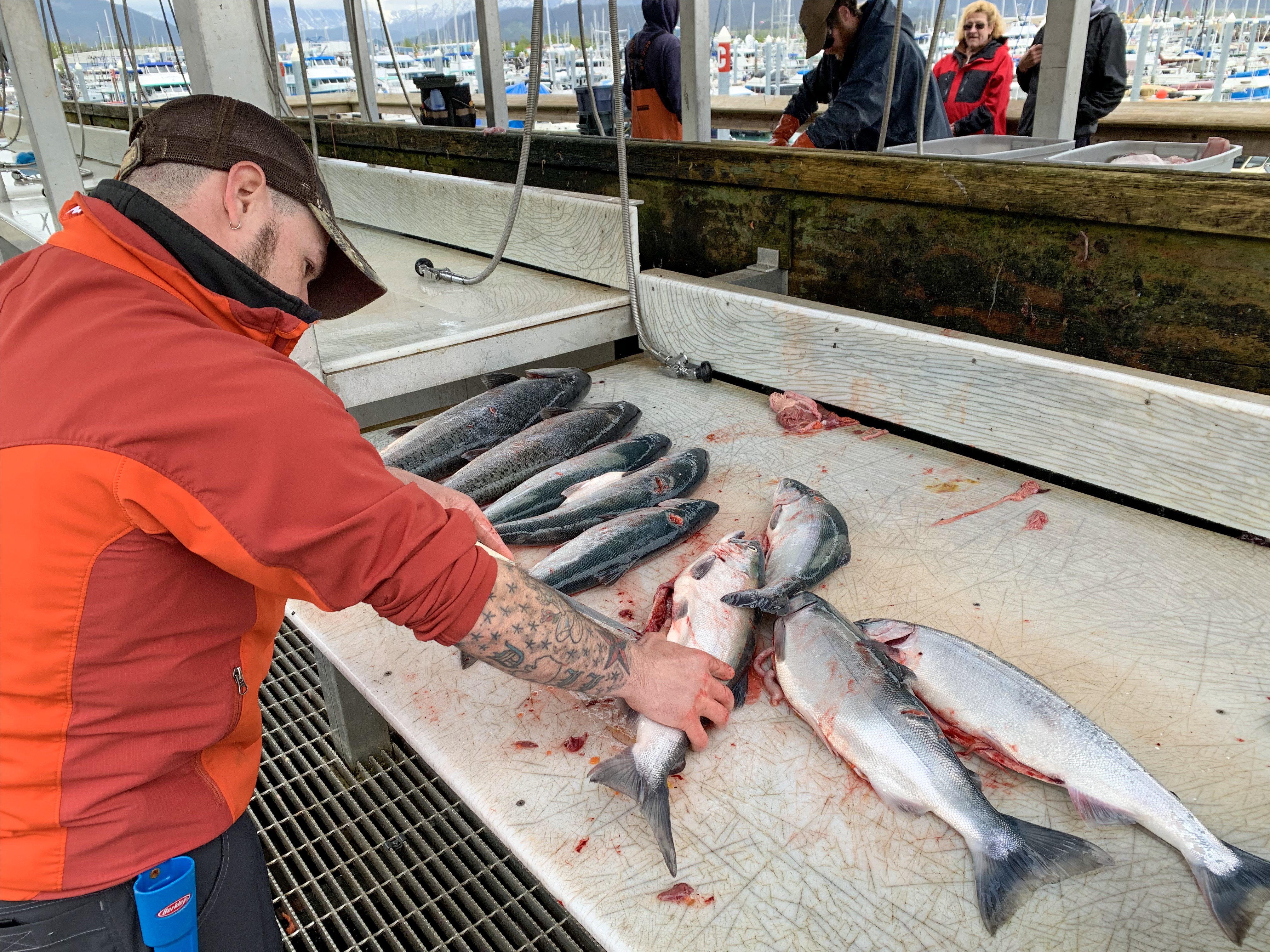
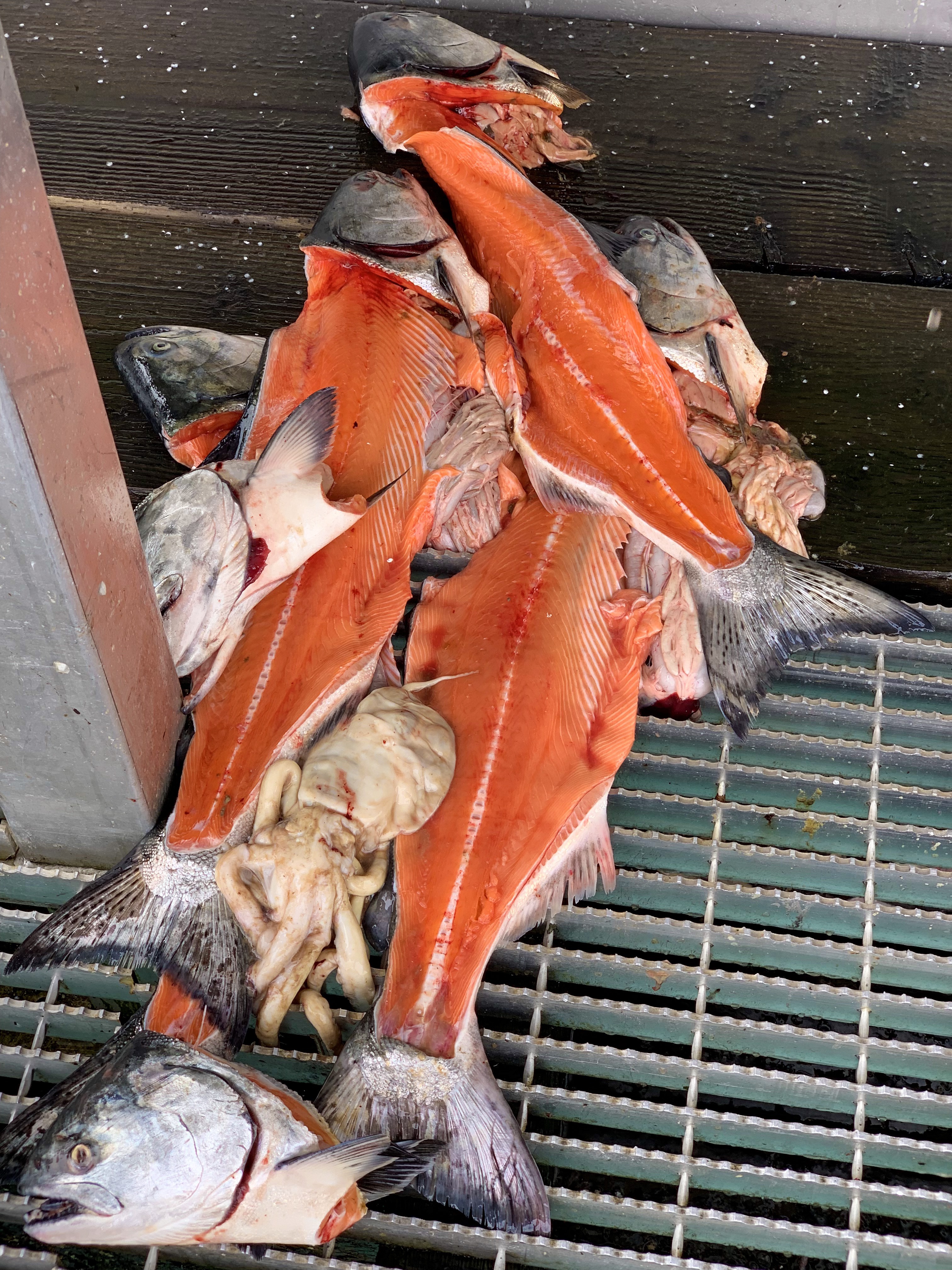
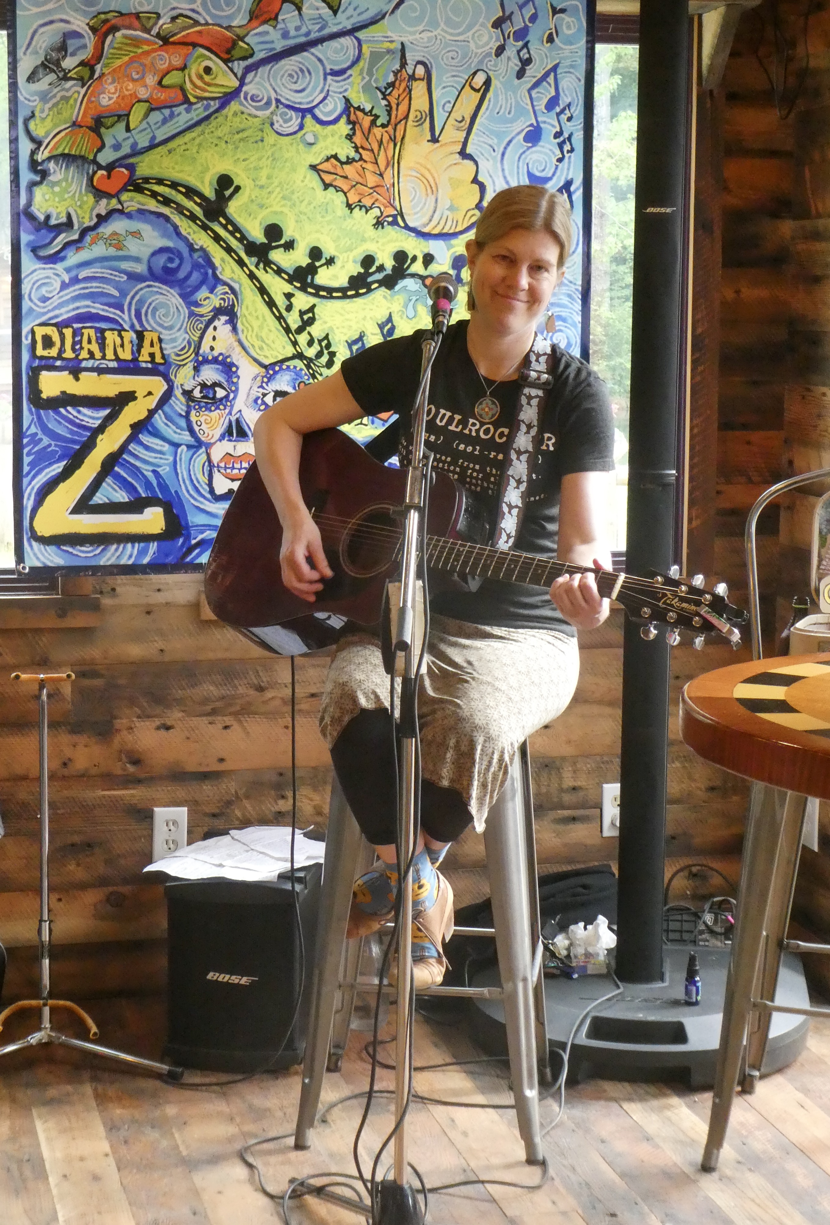
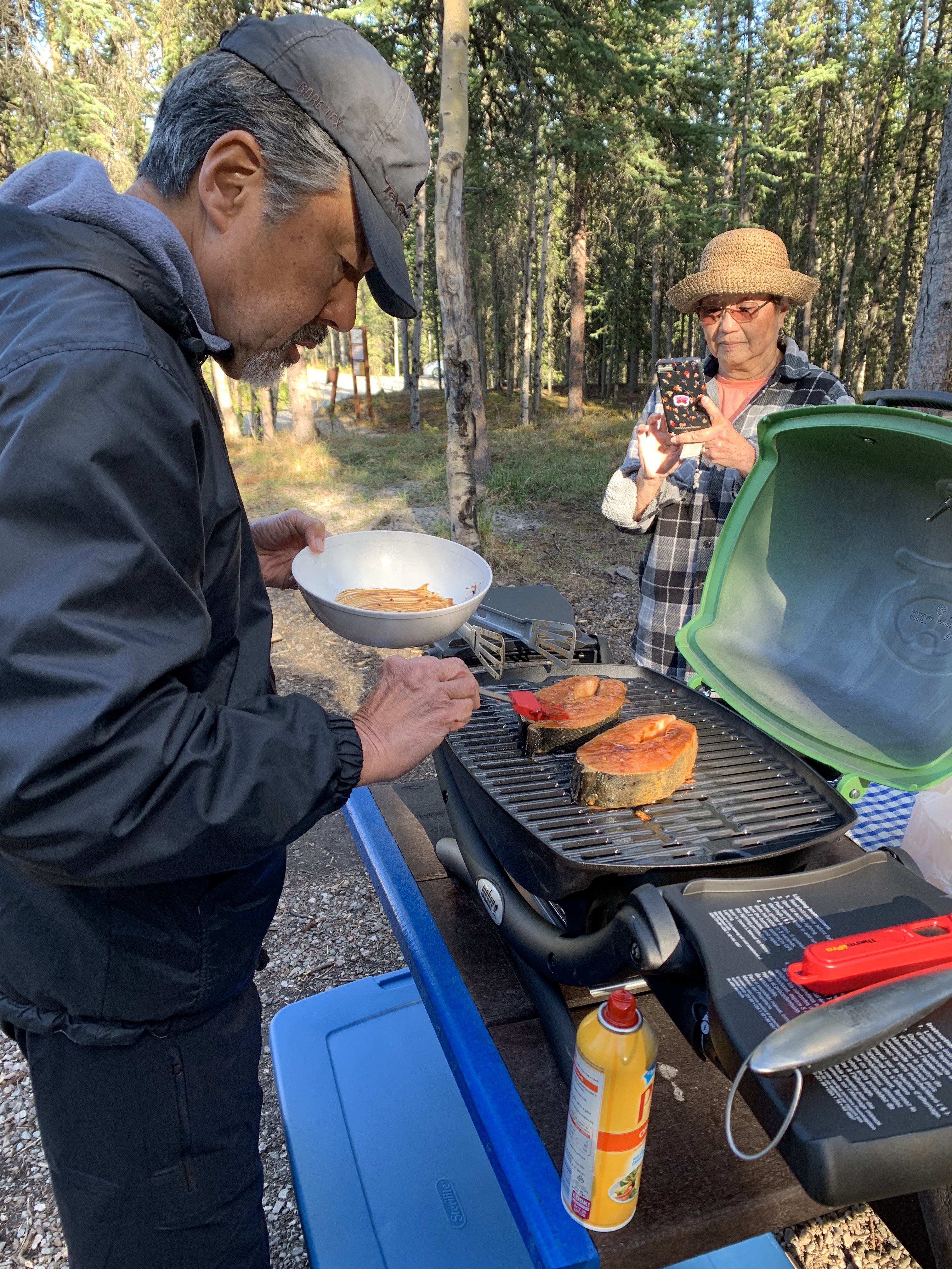
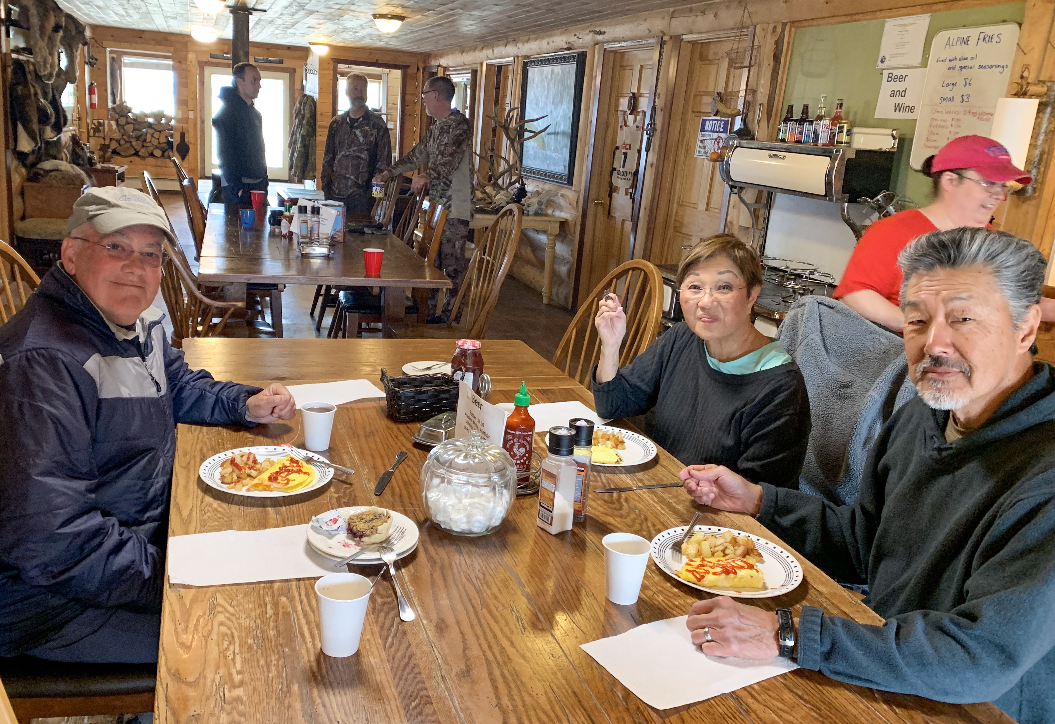
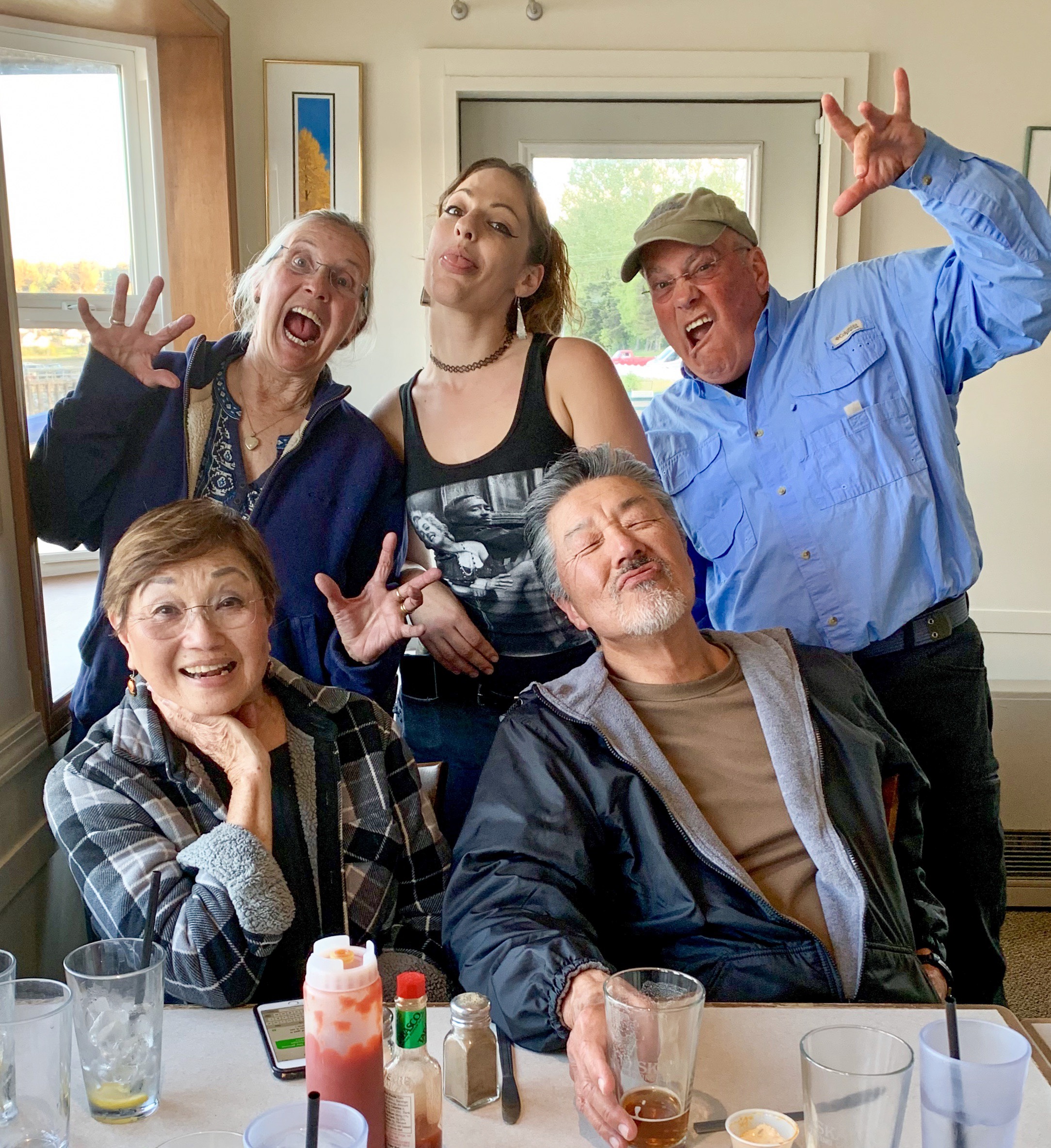
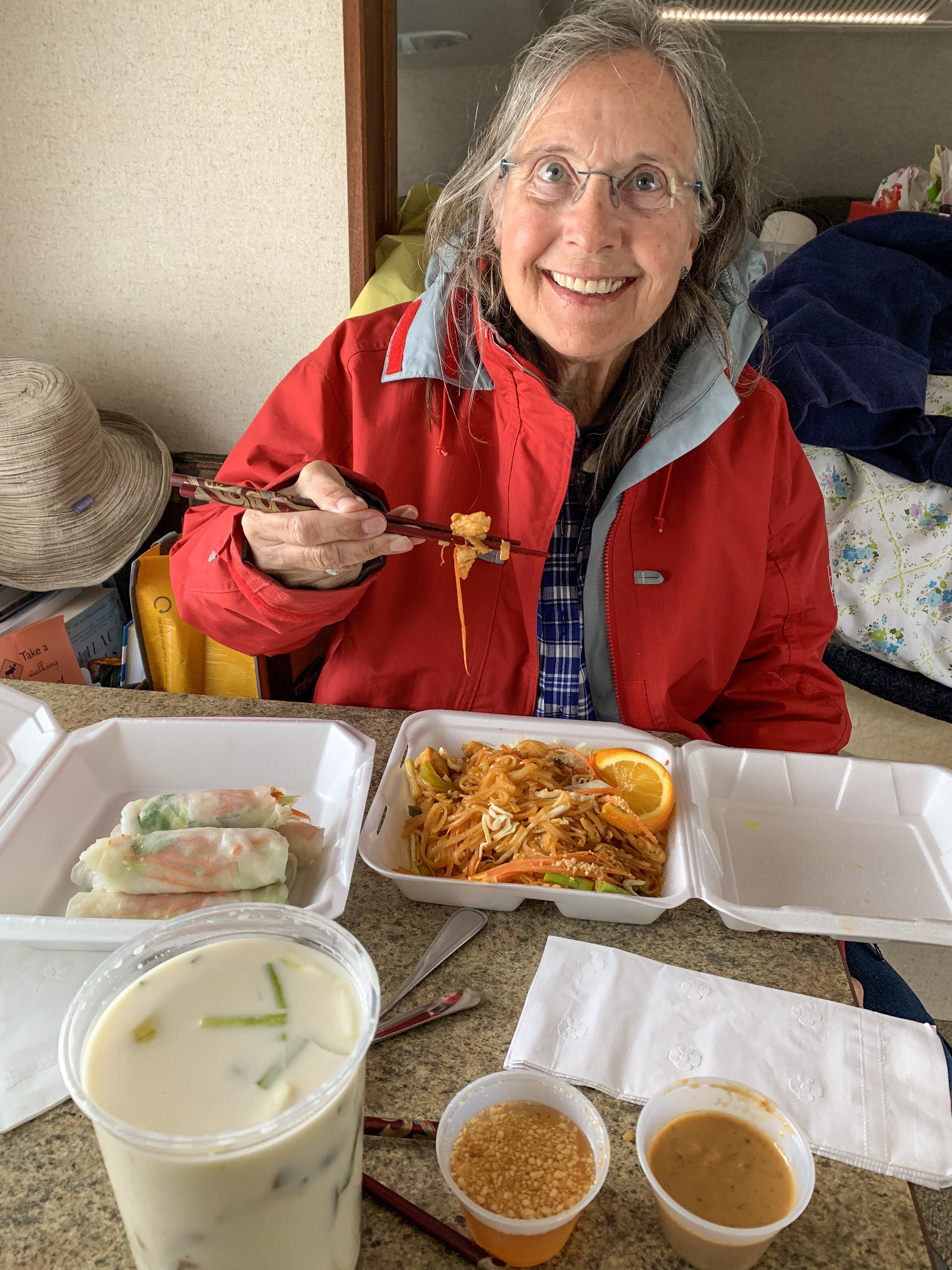
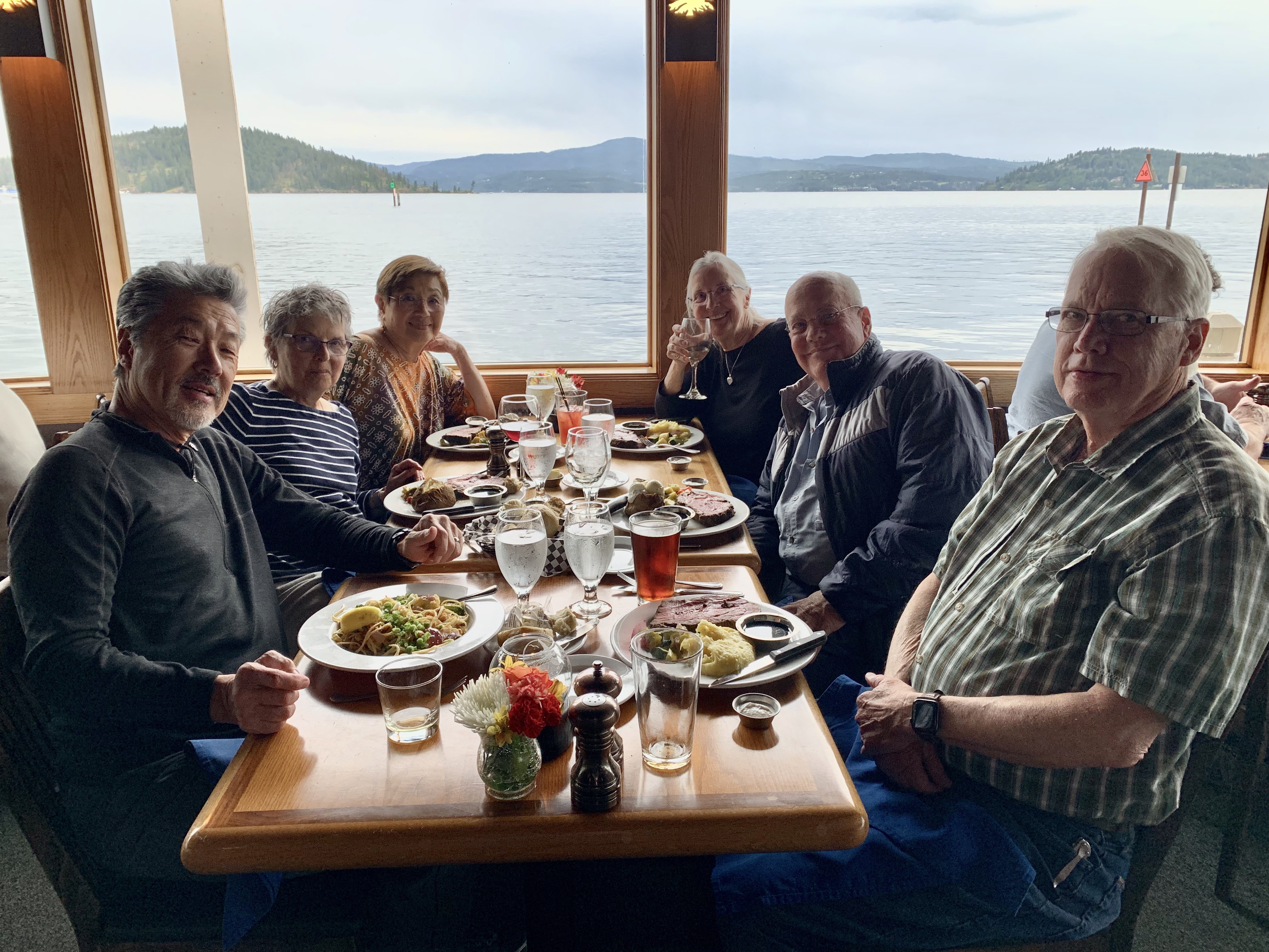
We have been “seafood spoiled” recently. For dinner we ate at Captain Patties Seafood on the spit recommended by a couple local sources as the best seafood in Homer. We had a variety of dishes. Our evaluation- passable, not great.

Our Innkeeper, lovely Ju Xia shares Sichuan cooking secrets
Jun Xia’s homemade chili sauce. I have the recipe if you would like to make some.

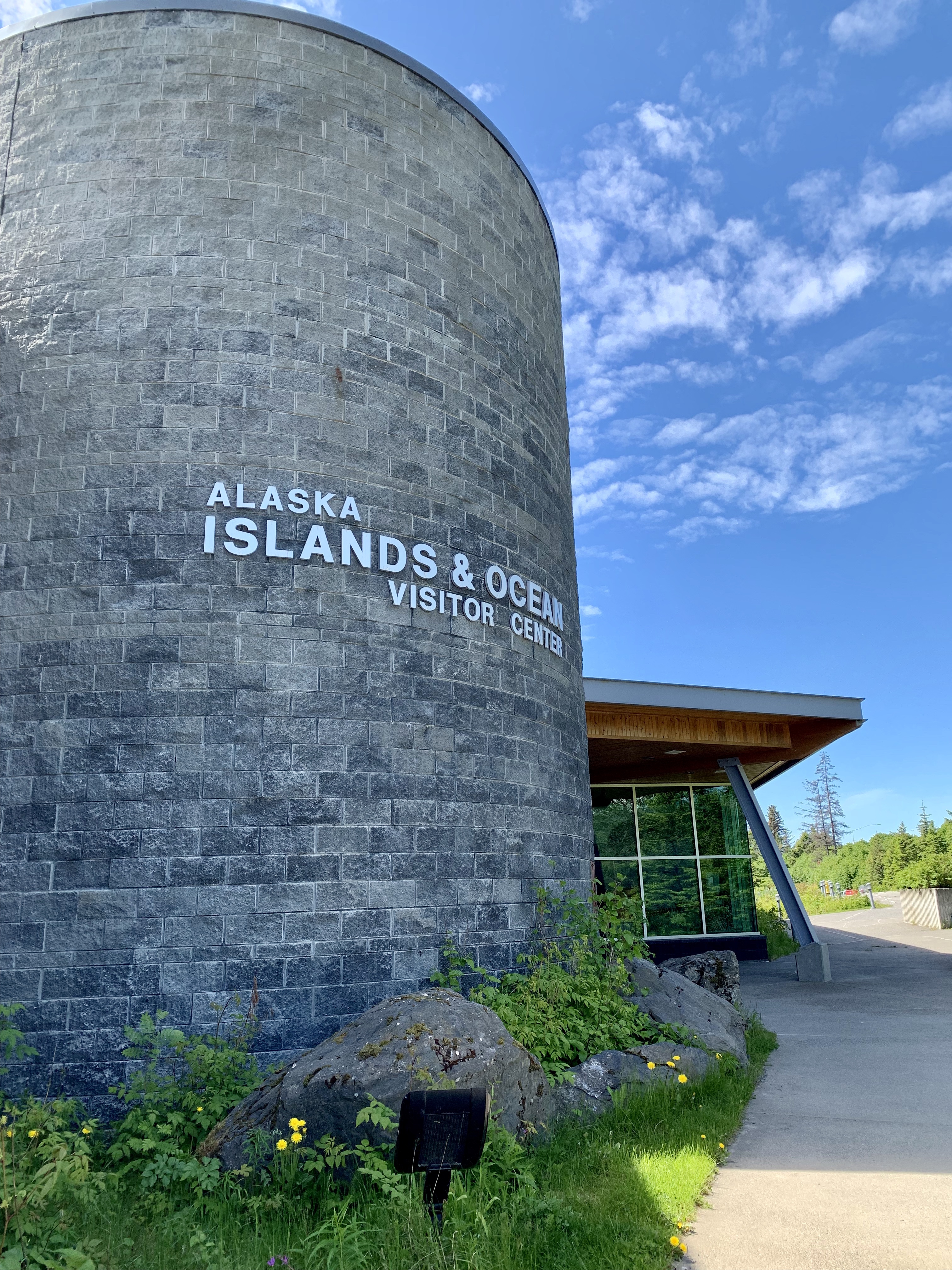
Great Display! “The Alaska Islands & Ocean Visitor Center takes you on a dramatic journey through the refuge’s past and present . . . surrounds you with the sights, sounds – and even the smells of a seabird colony . . . and invites you to follow biologists as their research ship sails to remote islands each year.”

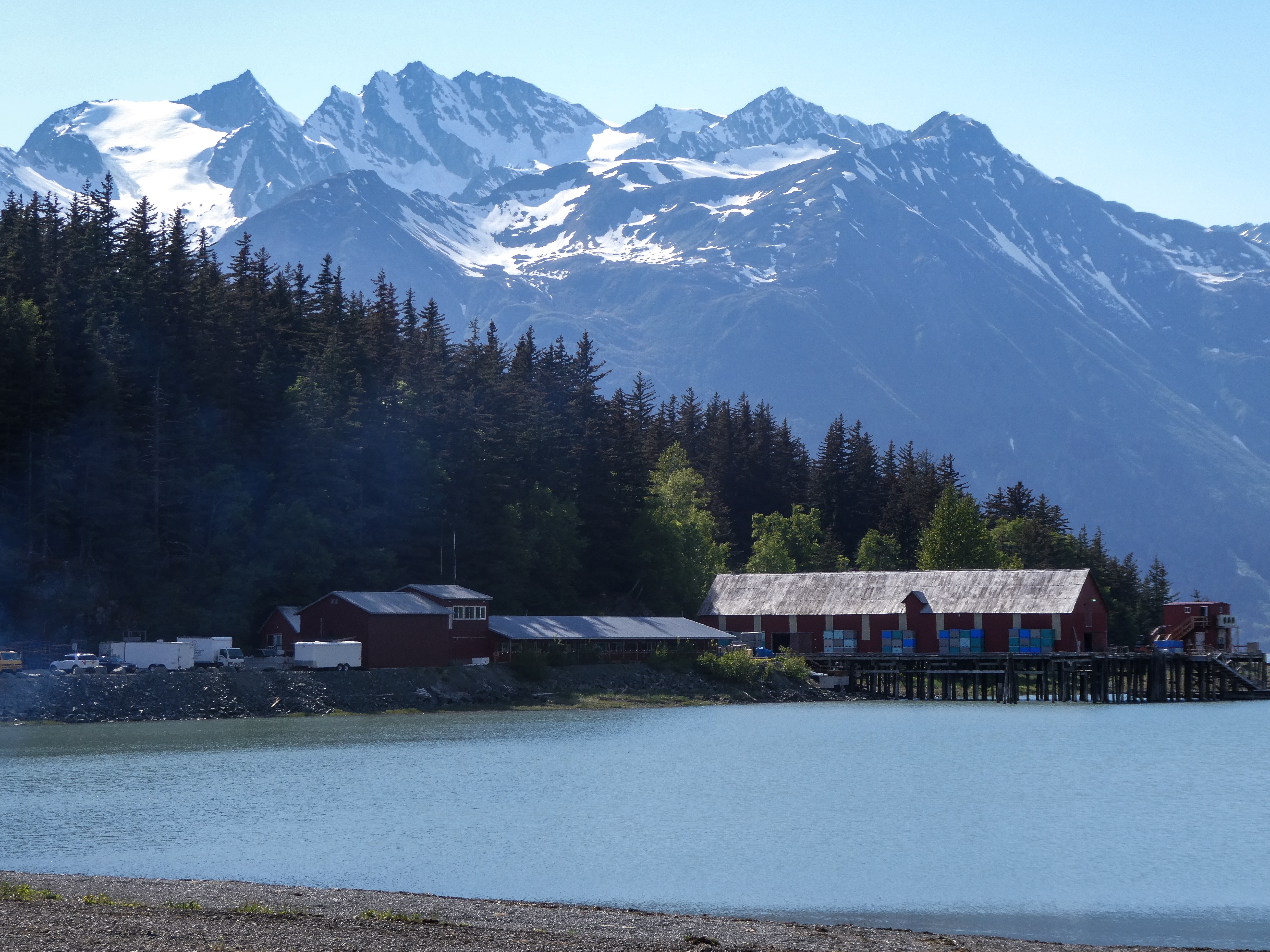
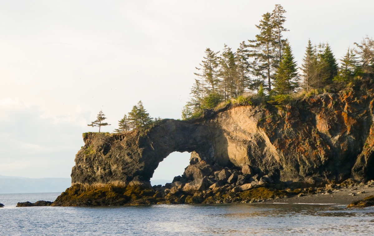
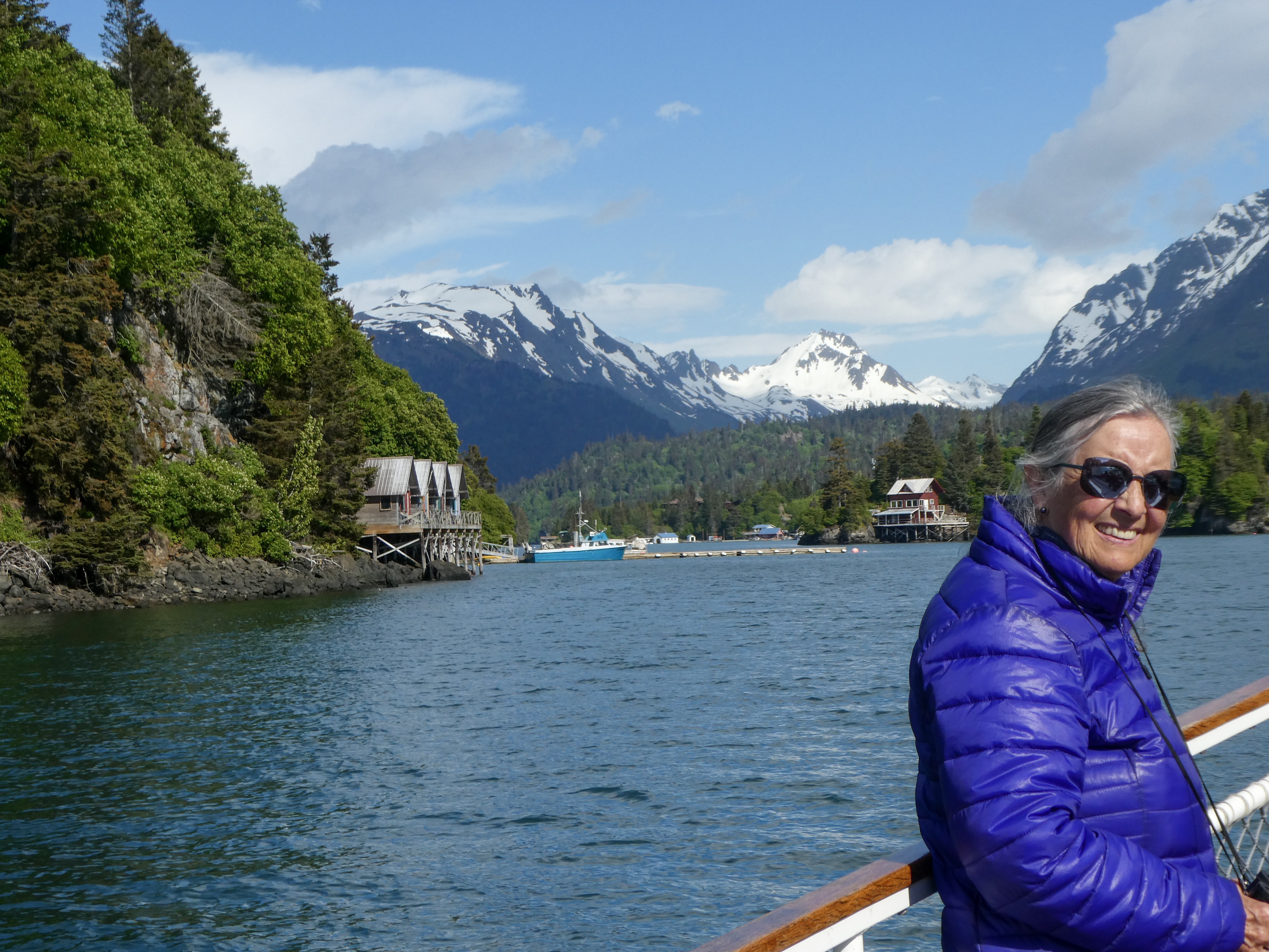
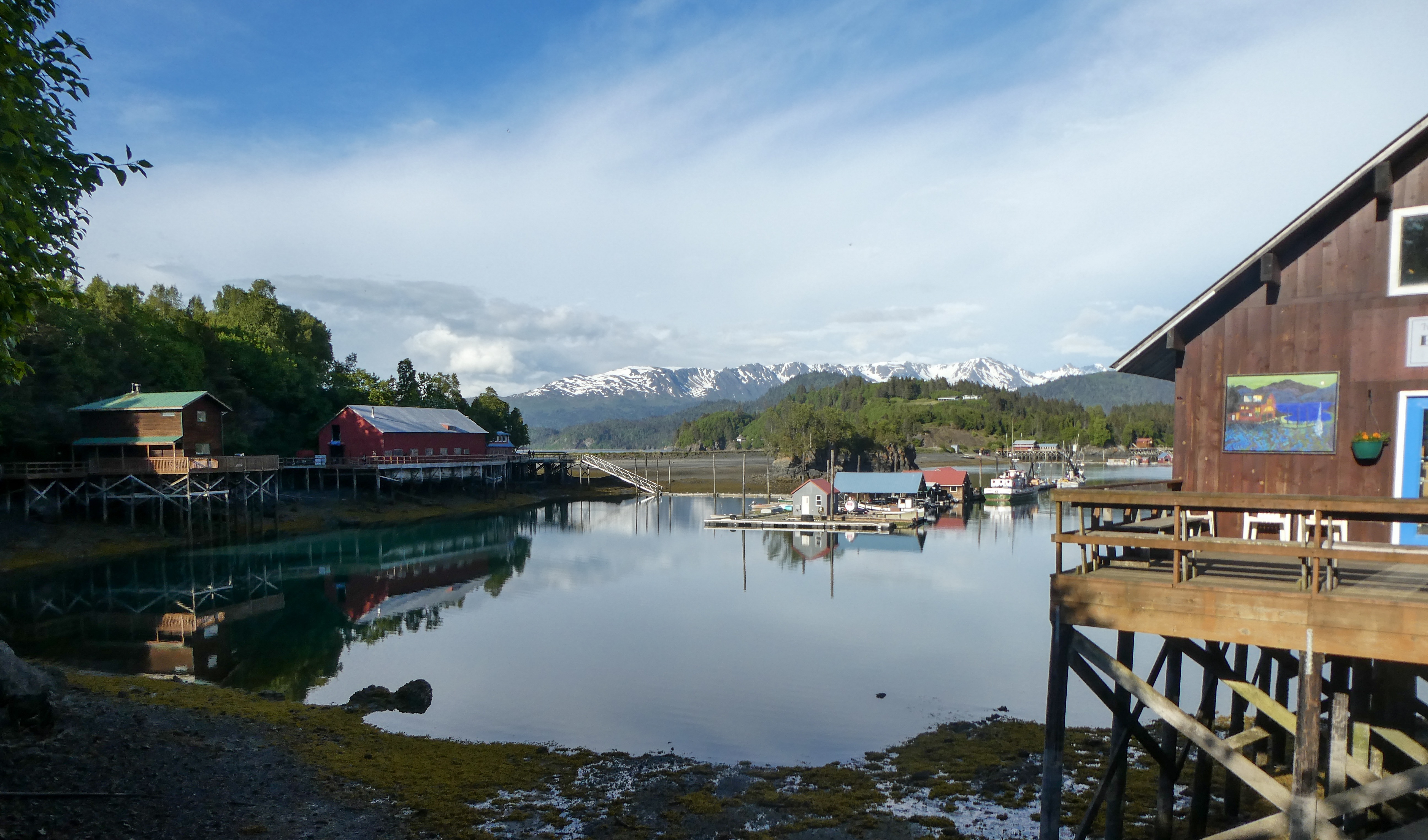
Halibut Cove And The Saltry Restaurant

”Originally a fishing village, Halibut Cove is now home to several artists and businesses. One of the only floating U.S. post offices is there. A popular tourist destination, the cove offers several lodges and cabins and the only way to get around the cove is by boat.”

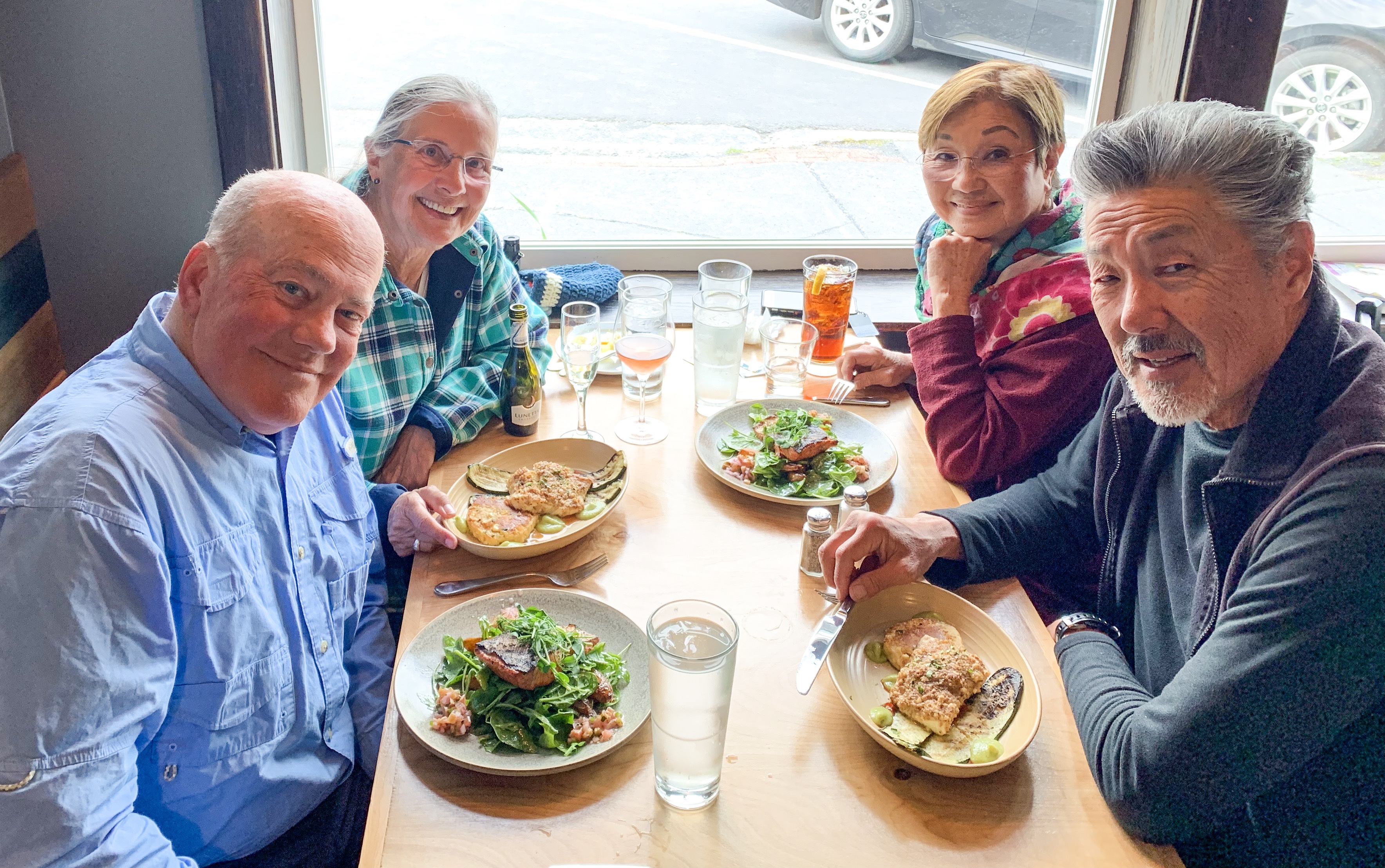
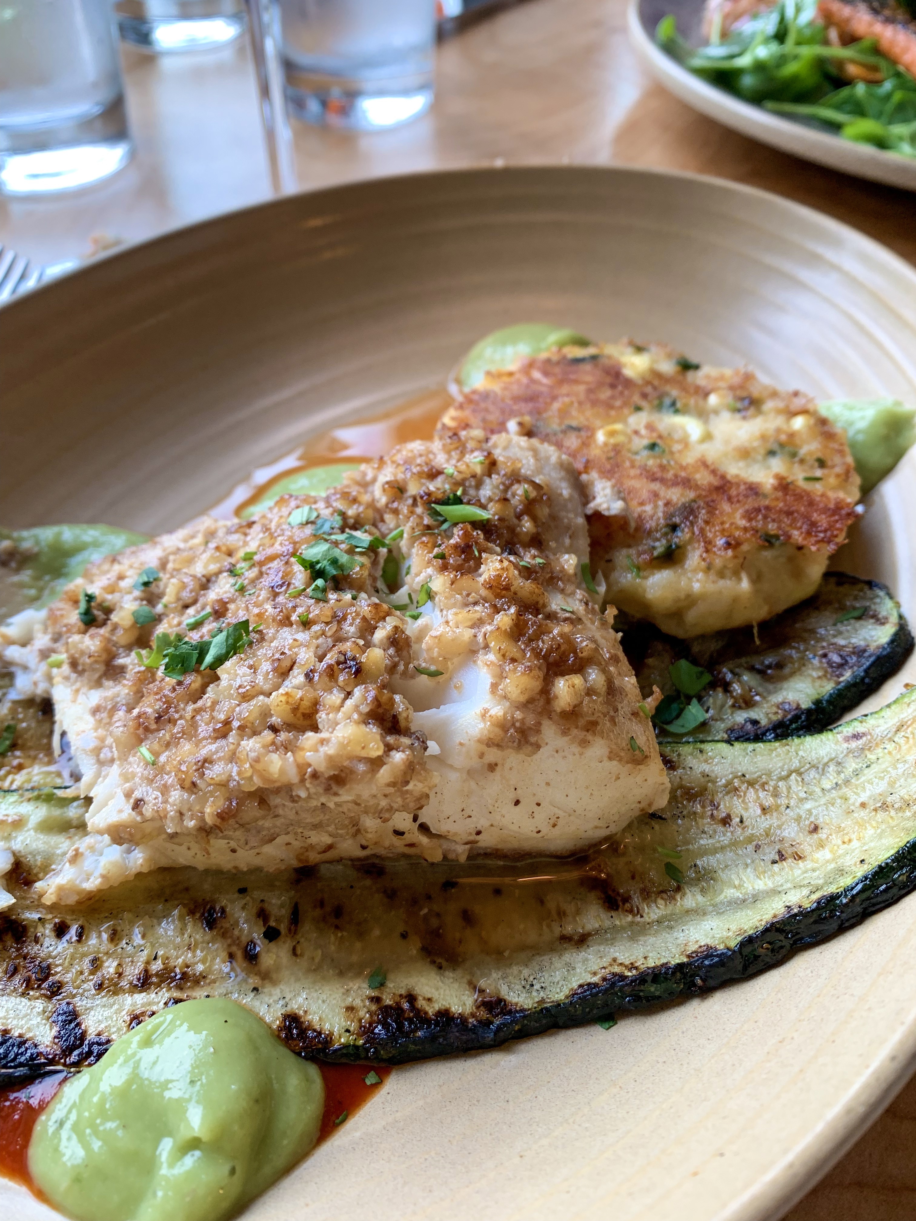
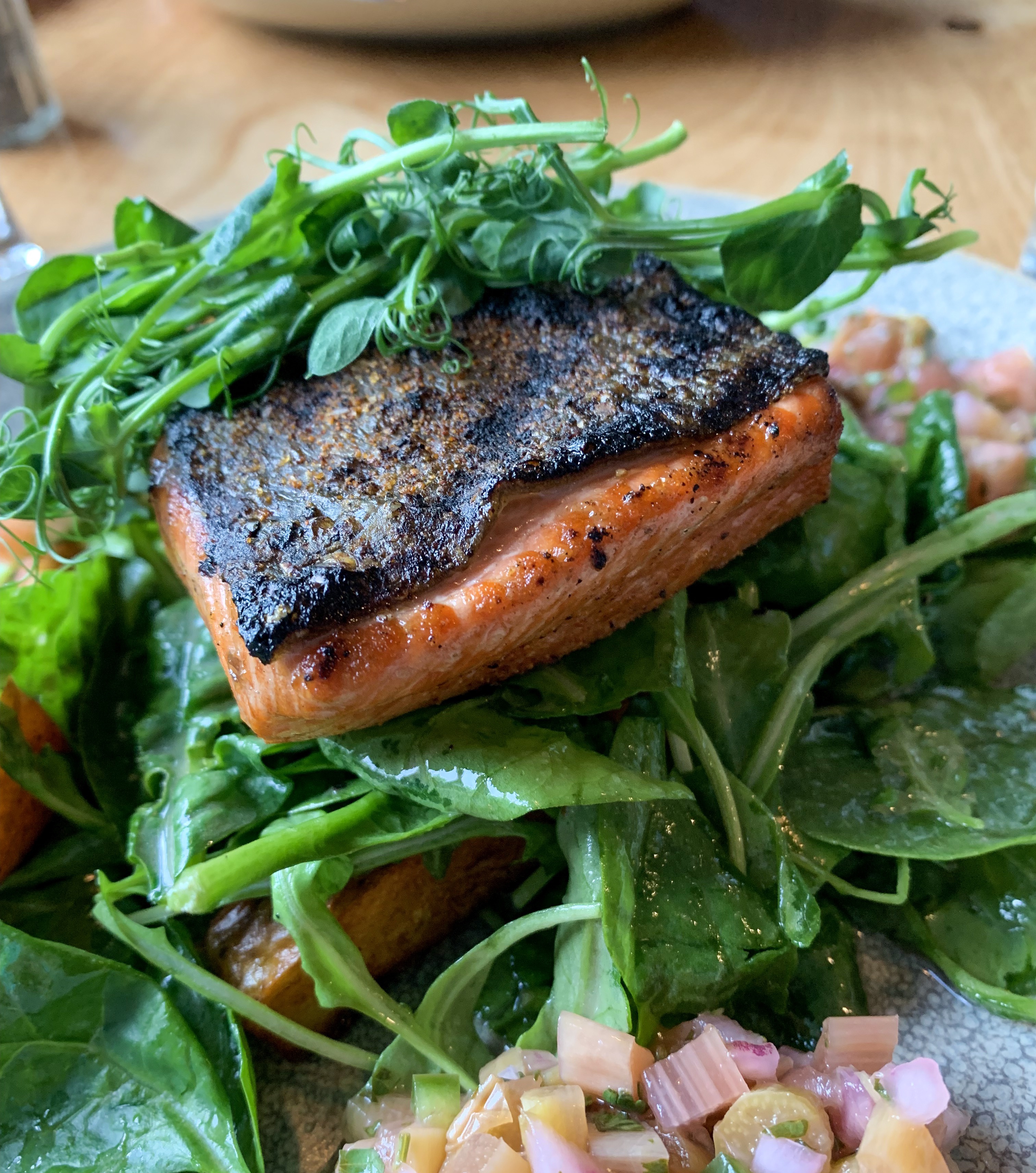
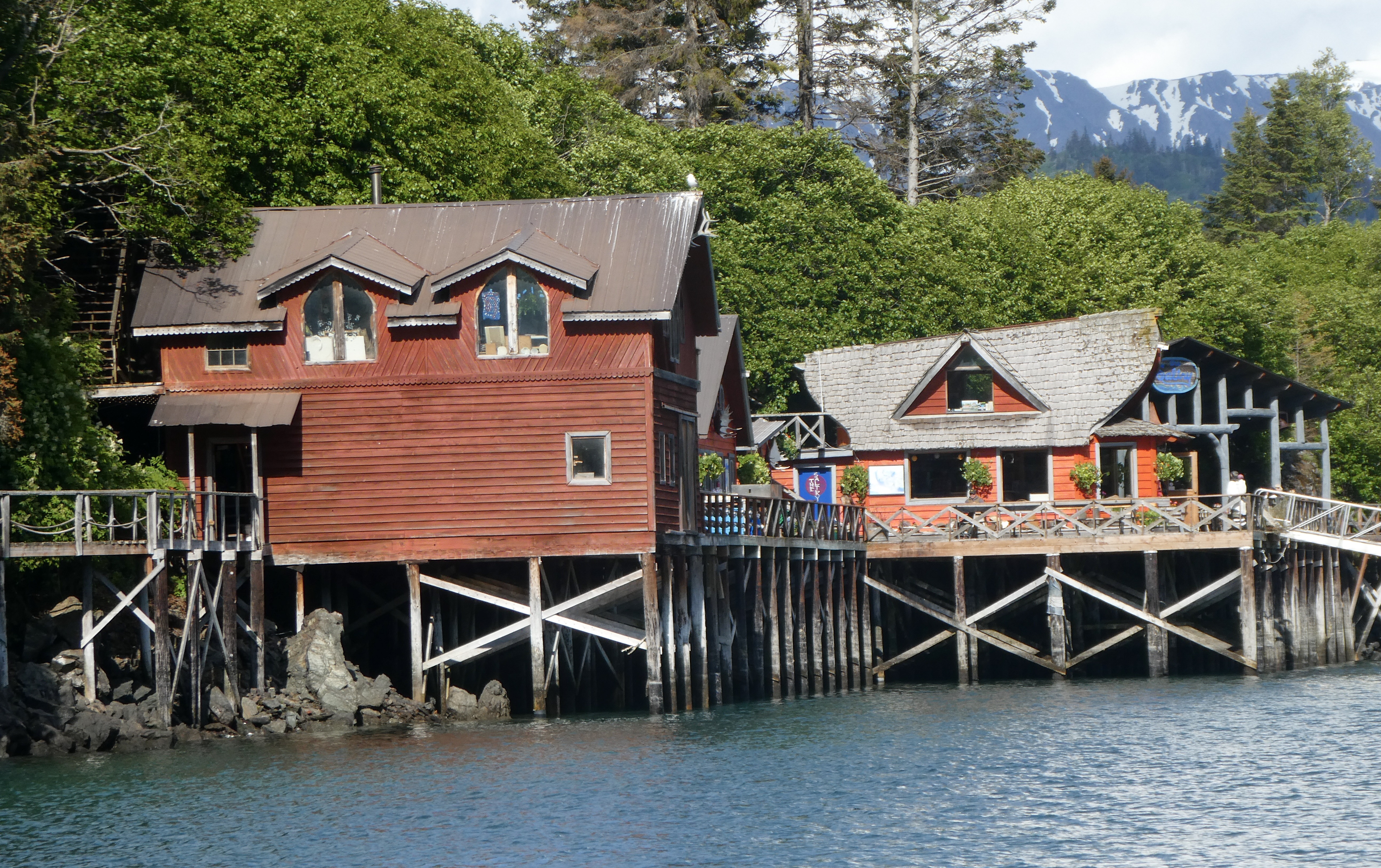
”Located on Ismailof Island in Halibut Cove, Alaska, The Saltry Restaurant opened in 1984. On an overcast day in the fall of 1983 the Saltry, jacked up and teetering on three foot wooden stilts, floated slowly down the Halibut Cove channel, flanked by skiffs bearing “no wake” signs. Rising over all was the Saltry’s steeply peaked roof line-attributes that had earlier caused the locals to dub it “The Flying Nun.”When the perfect building to house an island eatery presented itself, Marian and Dave Beck acted instantly to acquire the unique structure that became the Saltry Restaurant. A U-shaped dock was constructed in preparation for the Saltry’s arrival. Moving day was chosen for its twenty-three foot tide, the highest of the season. When the tide was at its highest point, the barge was eased into the U-shaped opening. As the tide dropped, the empty barge eased down and away with the tide. Pilings were erected from the beach at low tide to brace the Saltry from underneath. If you look at the dock around the Saltry now, it’s possible to see how it sits not quite square, how its final settling place is slightly caddywhompus.

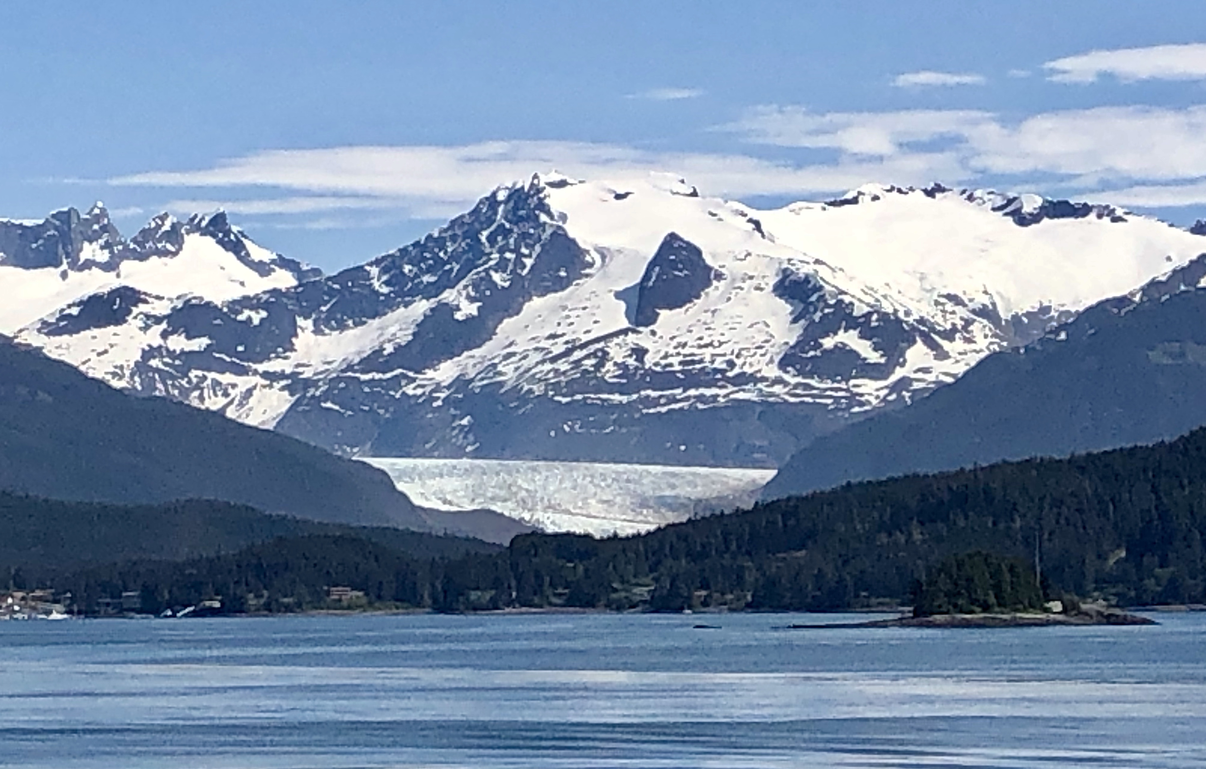
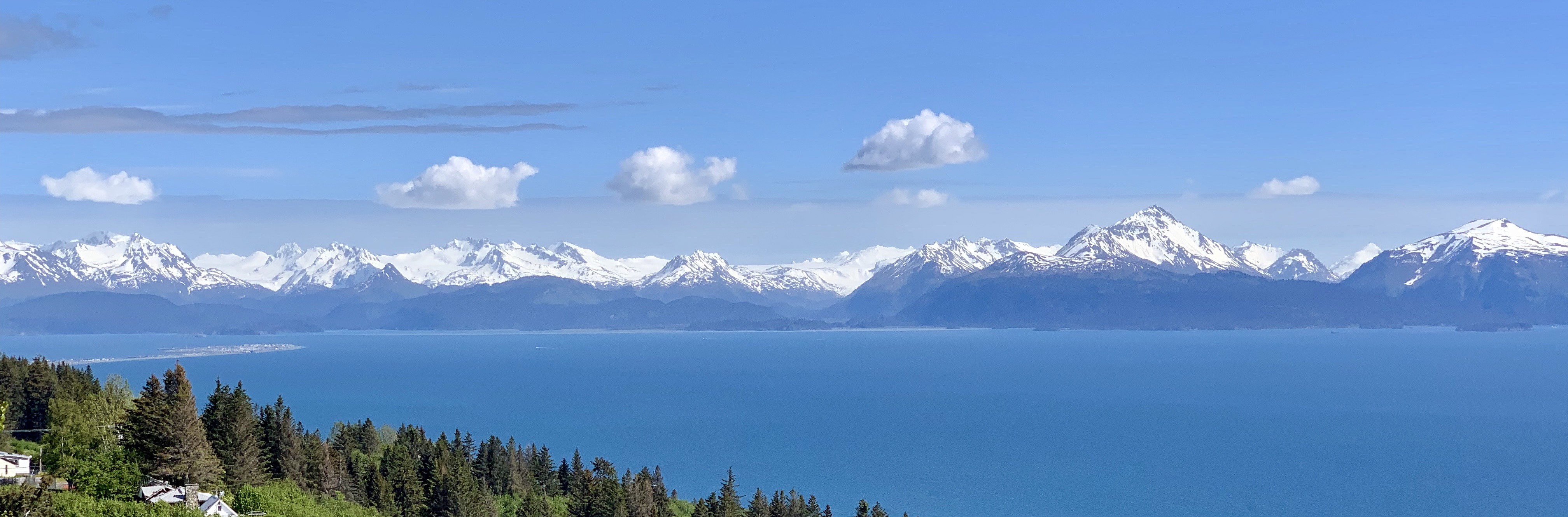
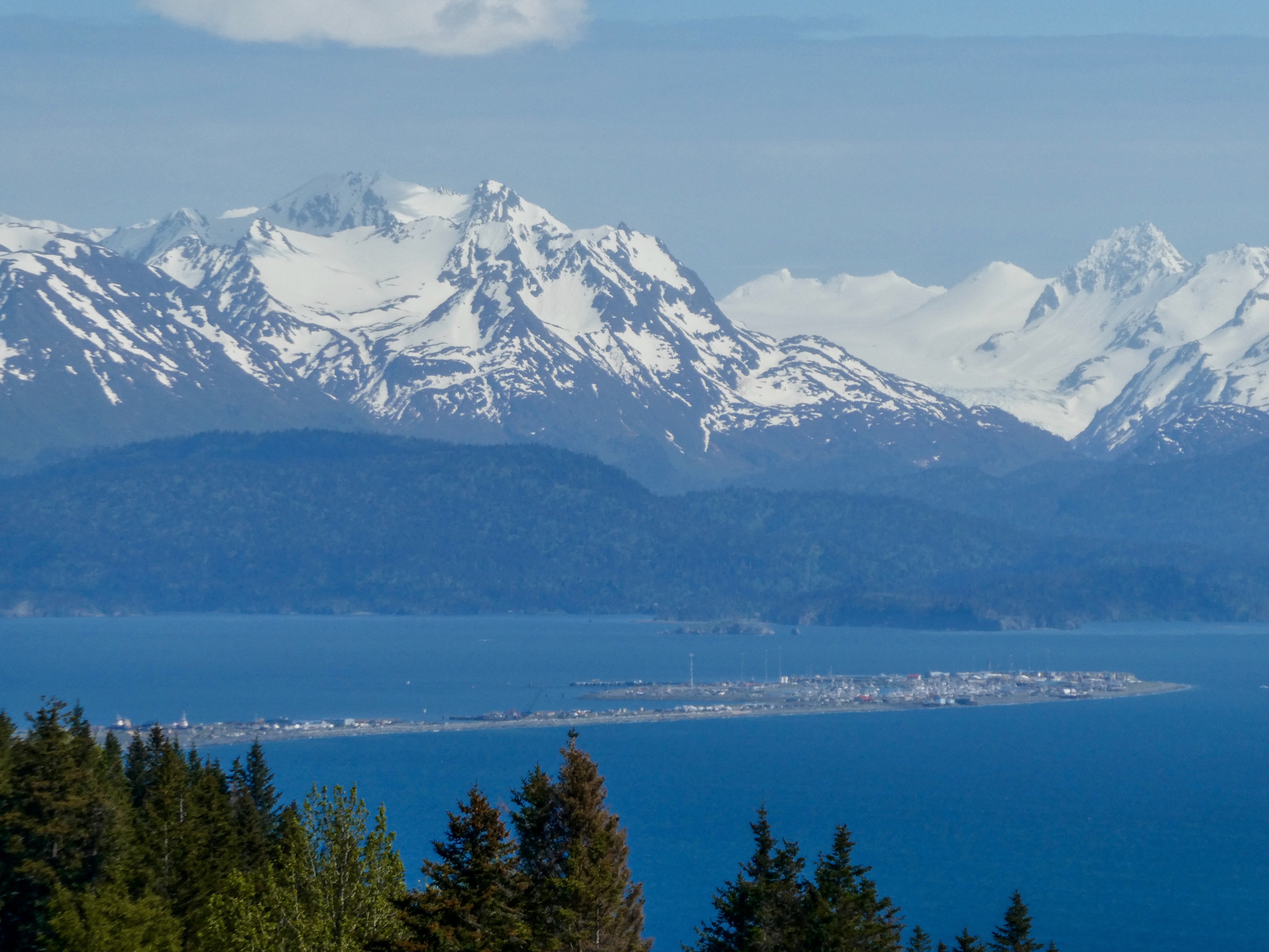
The Saltry first opened its doors in April 1984. Eighty people arrived for the celebratory potluck, despite the howling blizzard of rain and snow. At its inception, the Saltry provided simple fare: drinks at the bar, hot chowder, fresh bread and cold appetizers-such as pickled fish- that are still on the menu today. Today, the Saltry serves about 100 people everyday during the summer season, dishing out gourmet food from a kitchen decidedly more sophisticated than in 1984. What hasn’t changed is the incredibly beautiful setting of the Saltry, with its view of the mountains and glaciers from its perch above the water, and the desire to bring the freshest fish, mussels and oysters straight from Kachemak Bay to your table.

The ”Danny J” – Our ferry to Halibut Cove 45 minutes from Homer.
Captain Elsa Of the “Danny J”

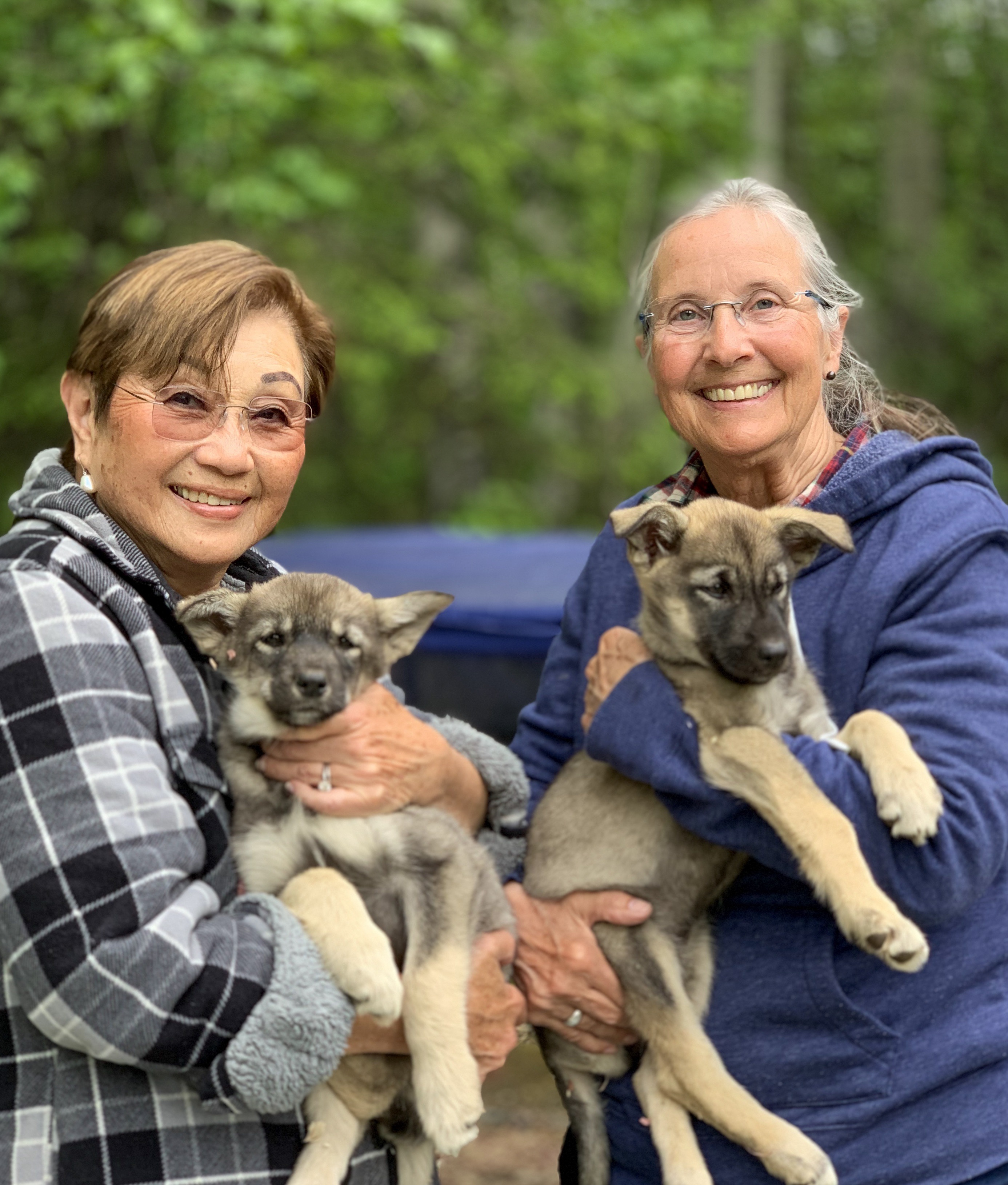
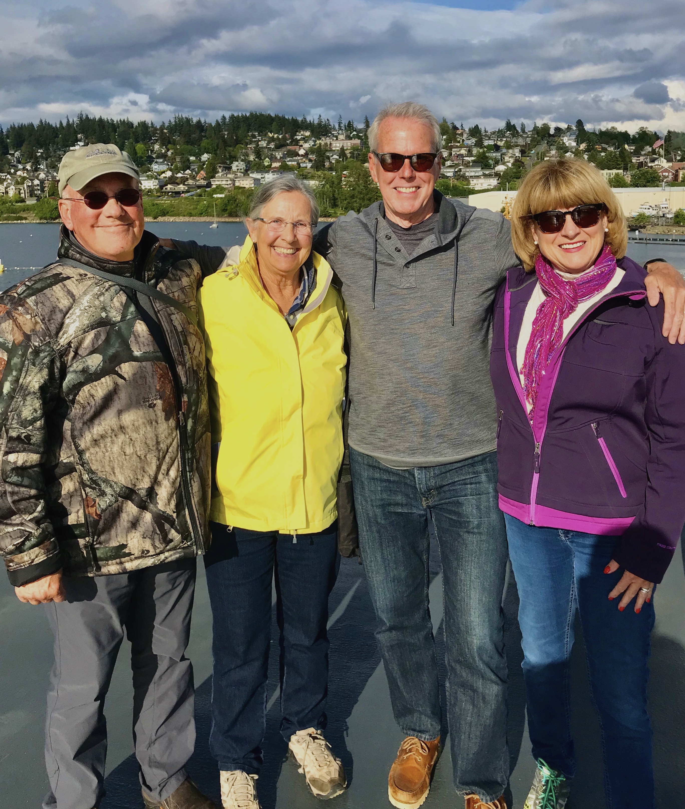
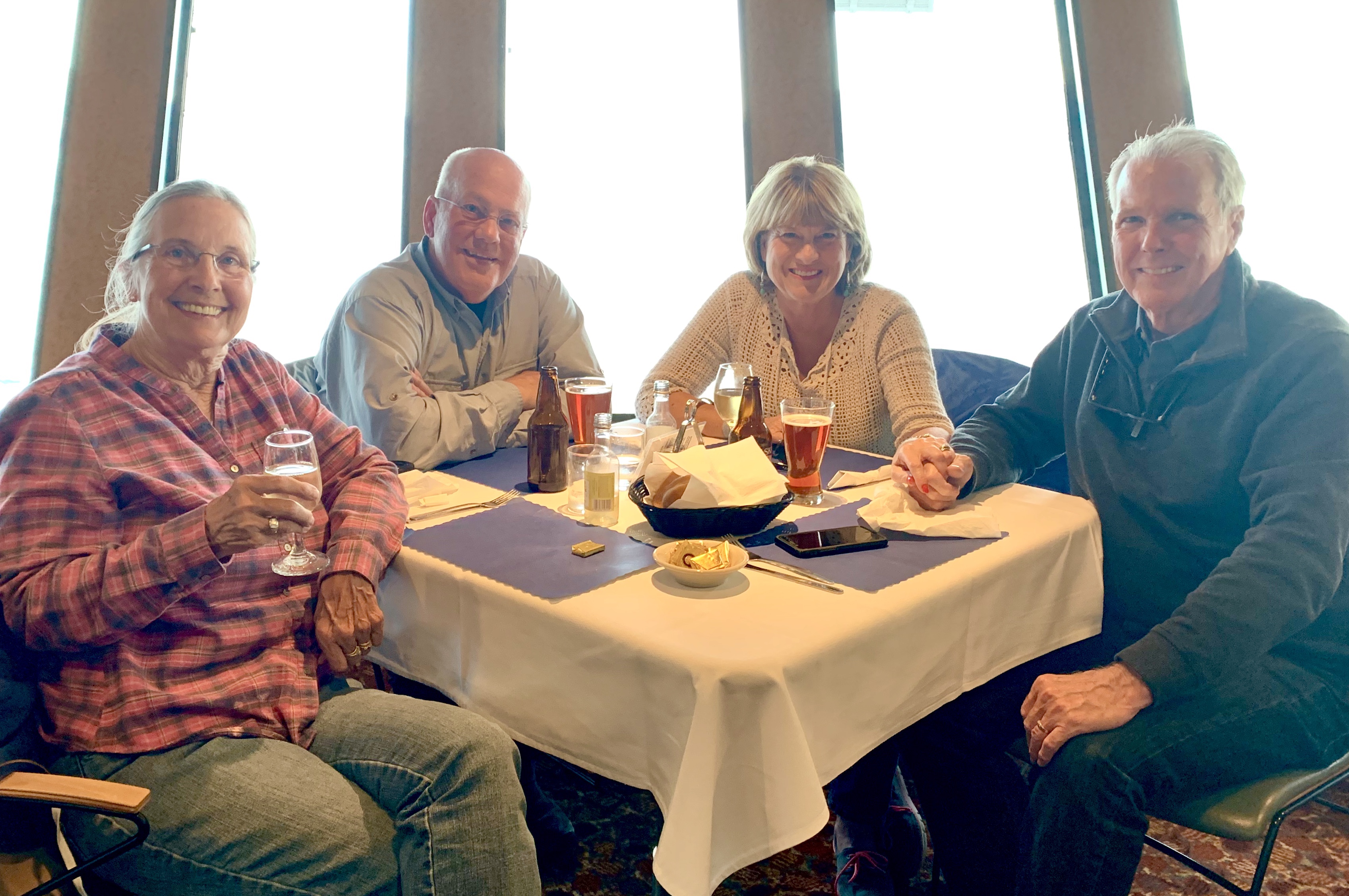
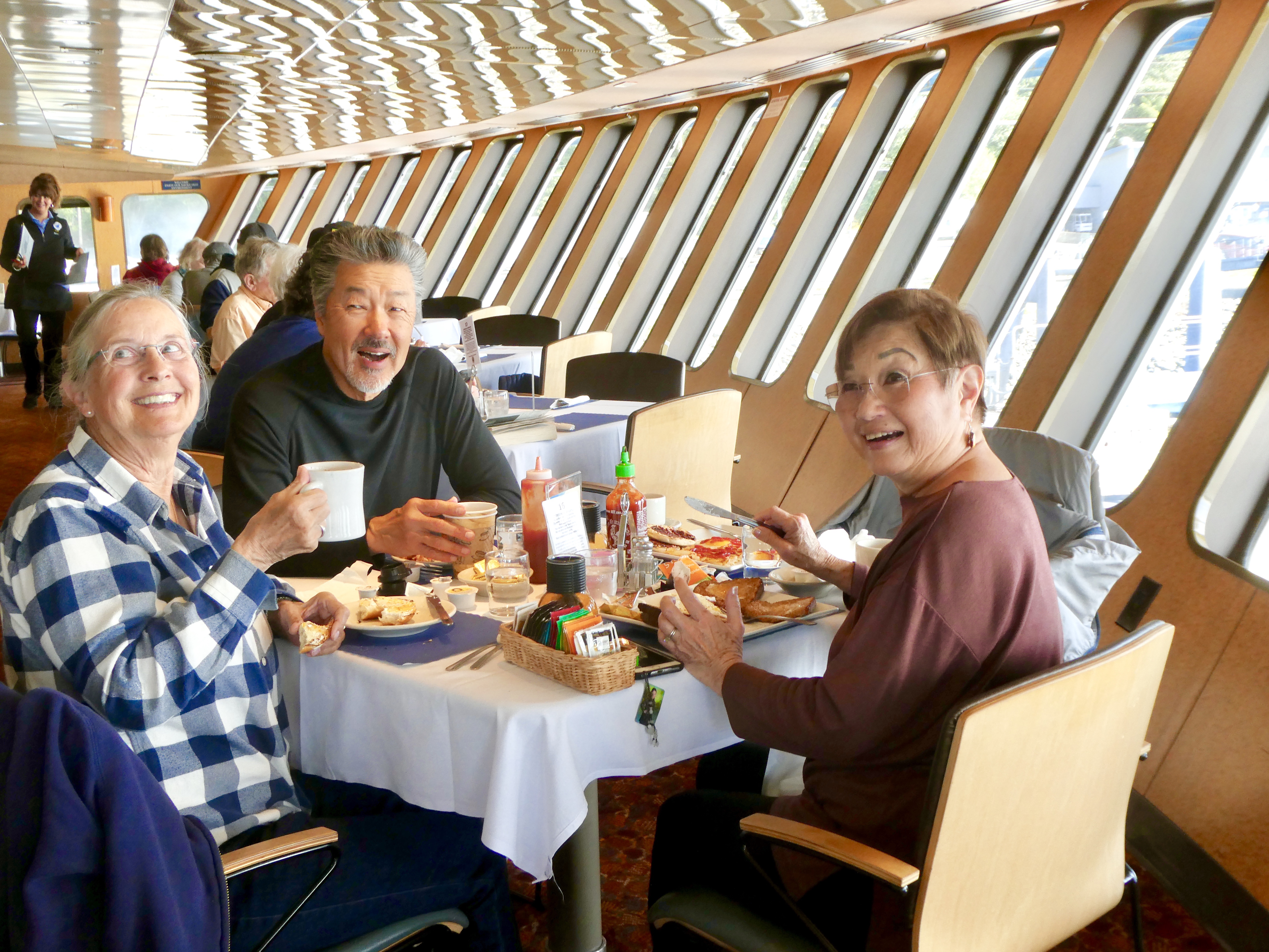
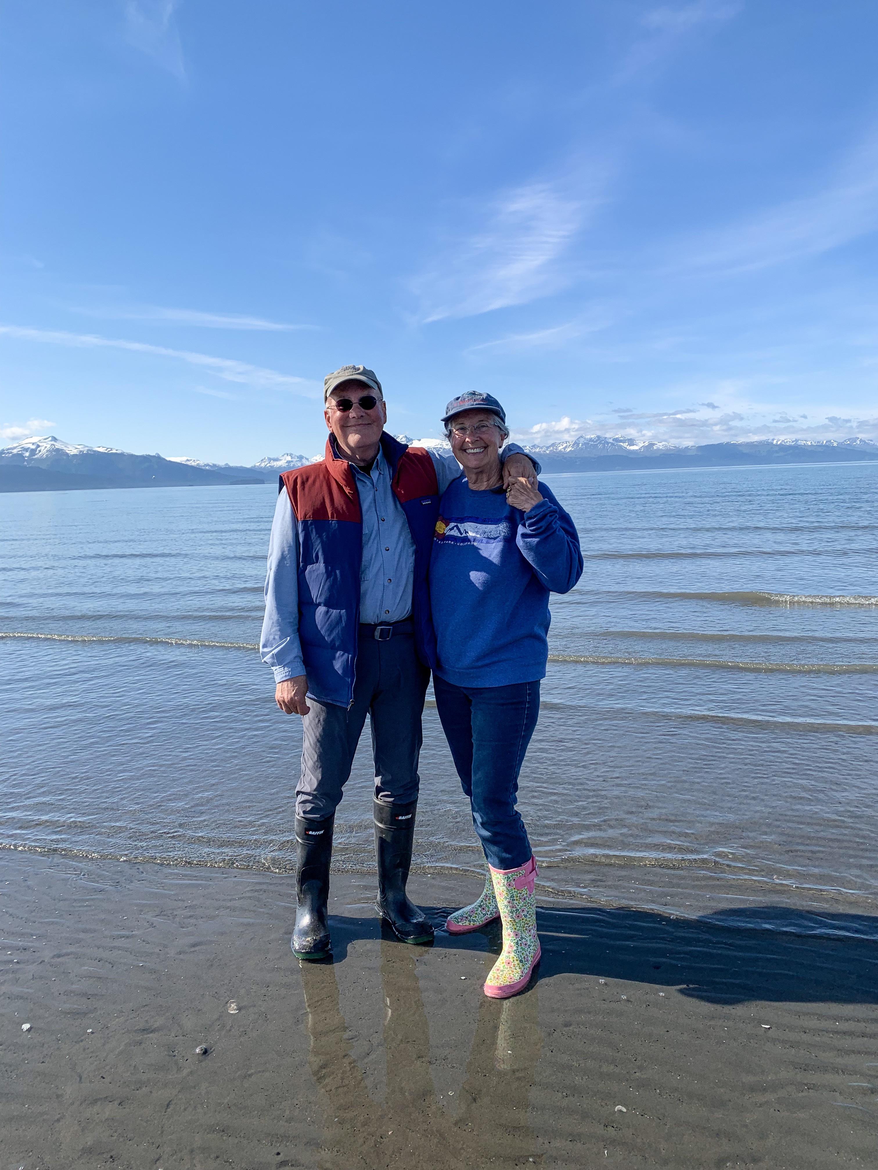
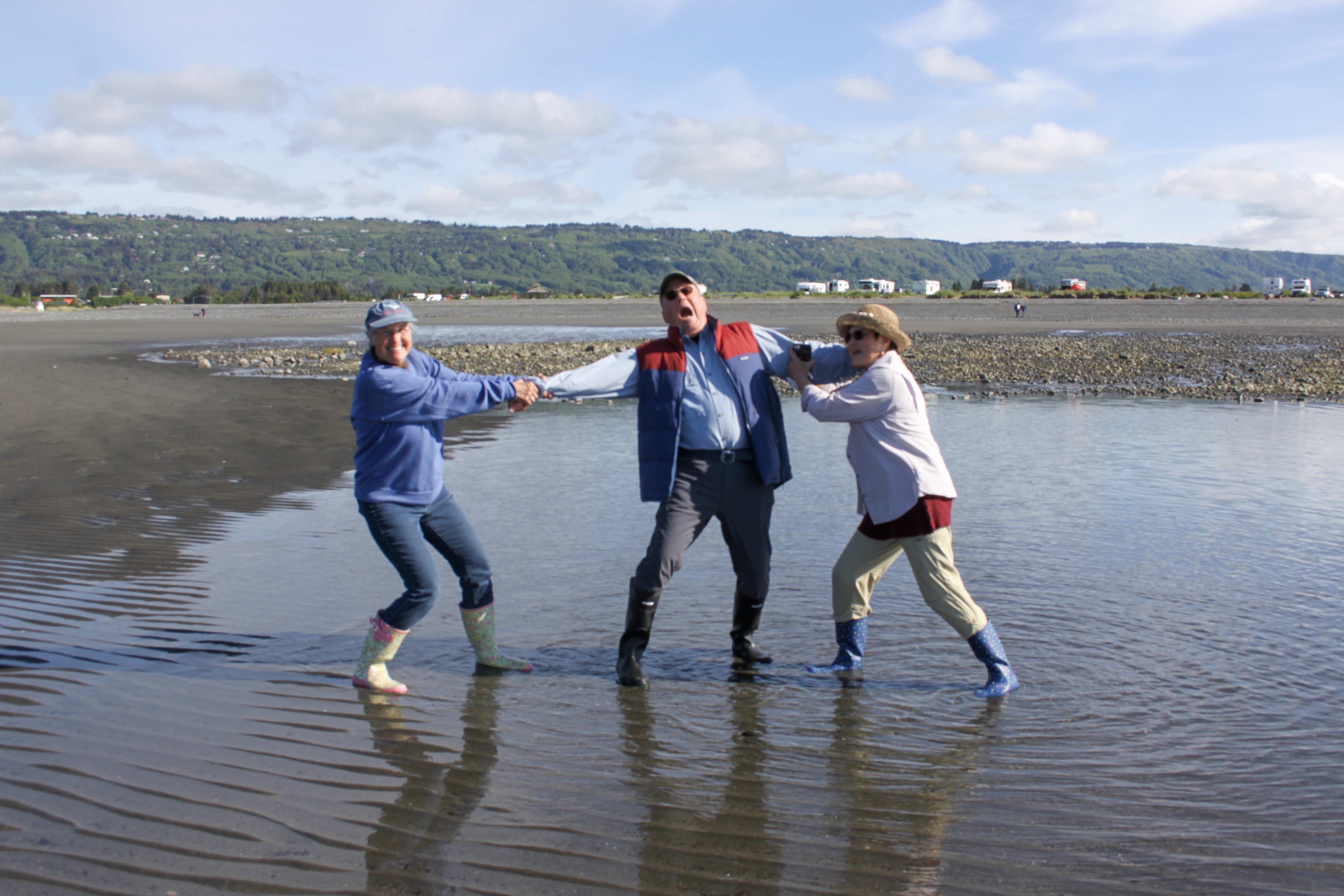
Captain Elsa told Sally “Women come to Alaska and become the men they always wanted to marry”. We saw women doing many physical jobs that men often perform. Needs must!

Ready for a nautical adventure
The Saltry coming into view
Lovely dinner setting
Black cod. Incredibly delicious
Ray’s Halibut. Excellent!

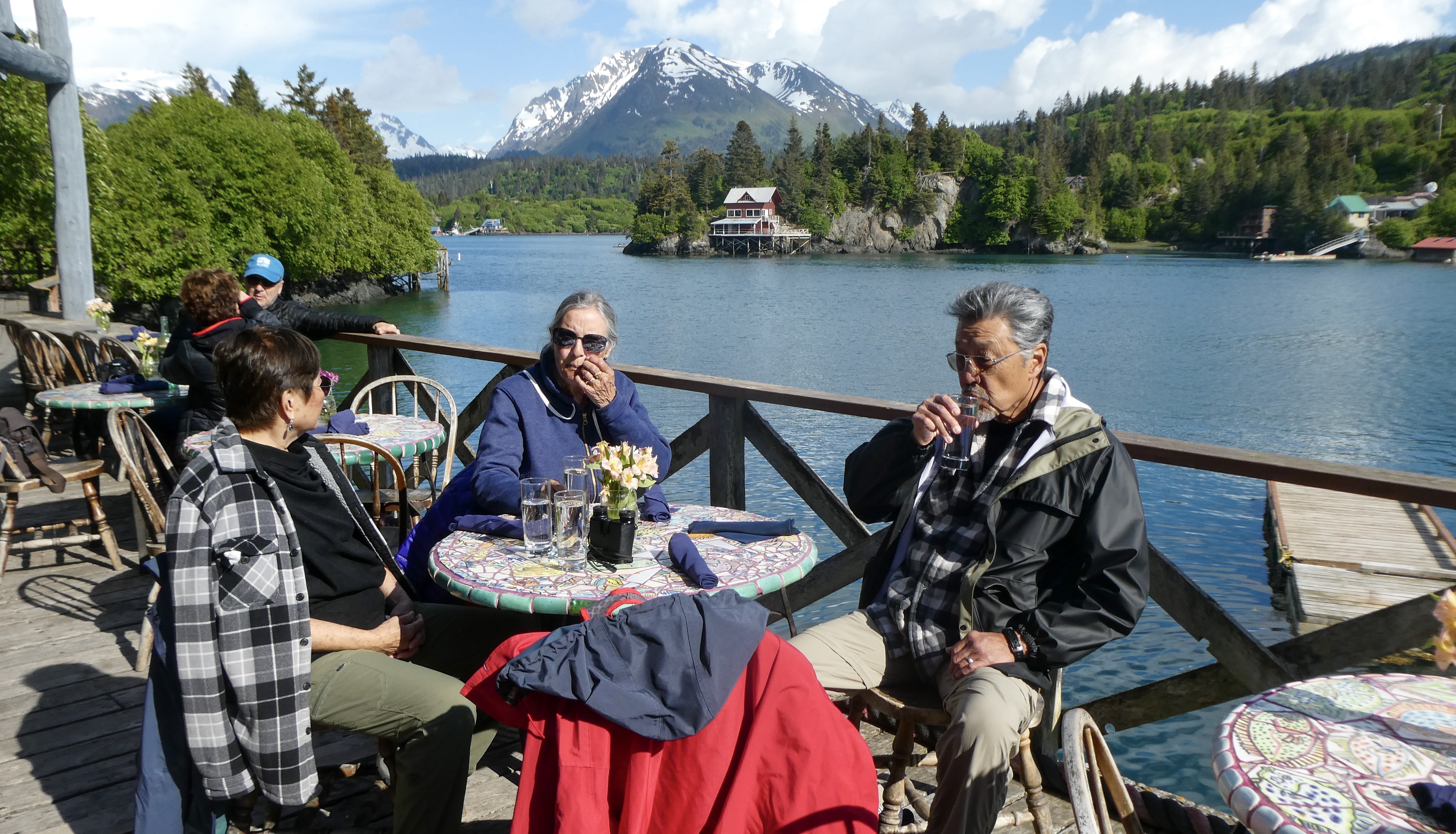
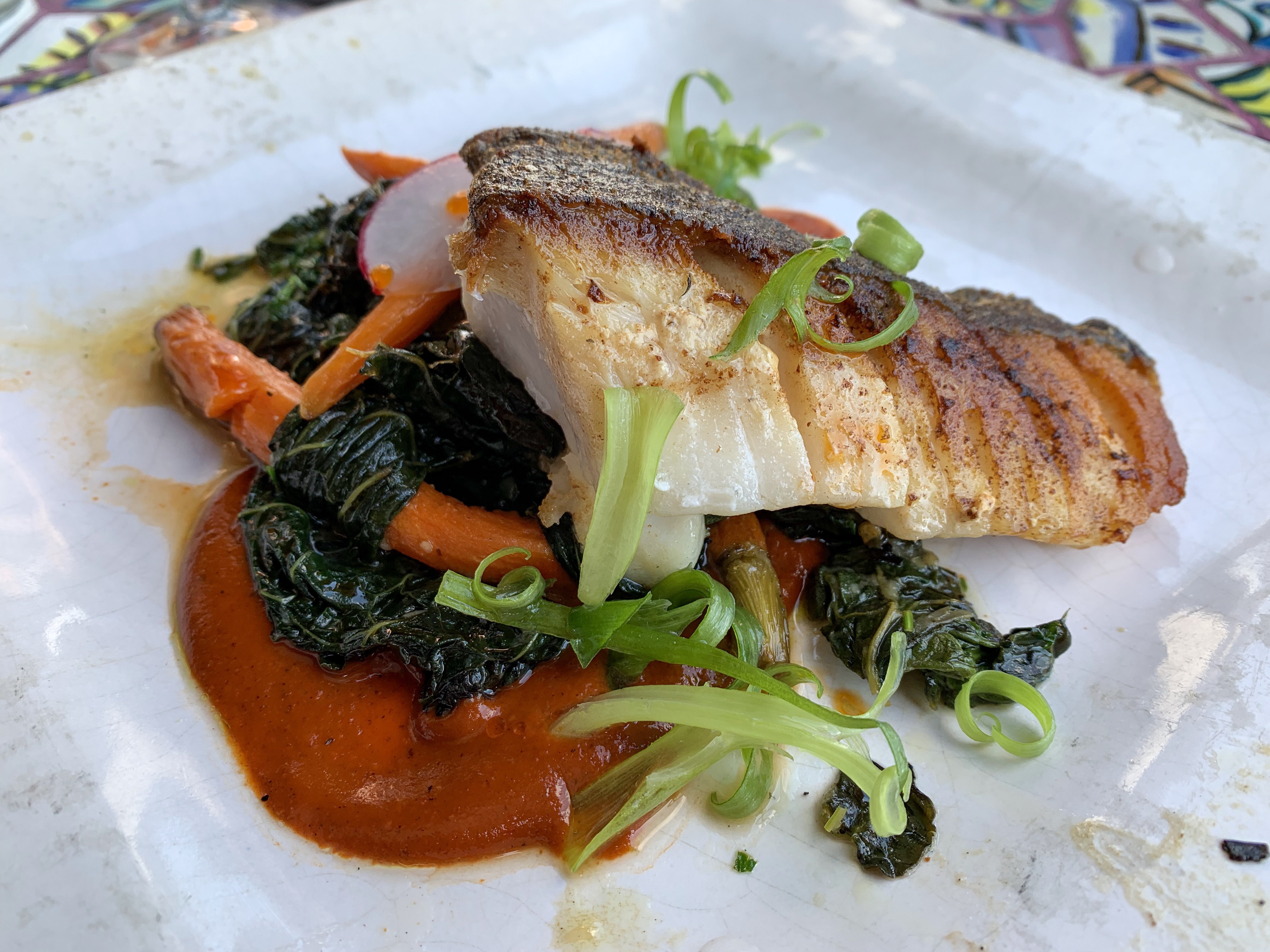
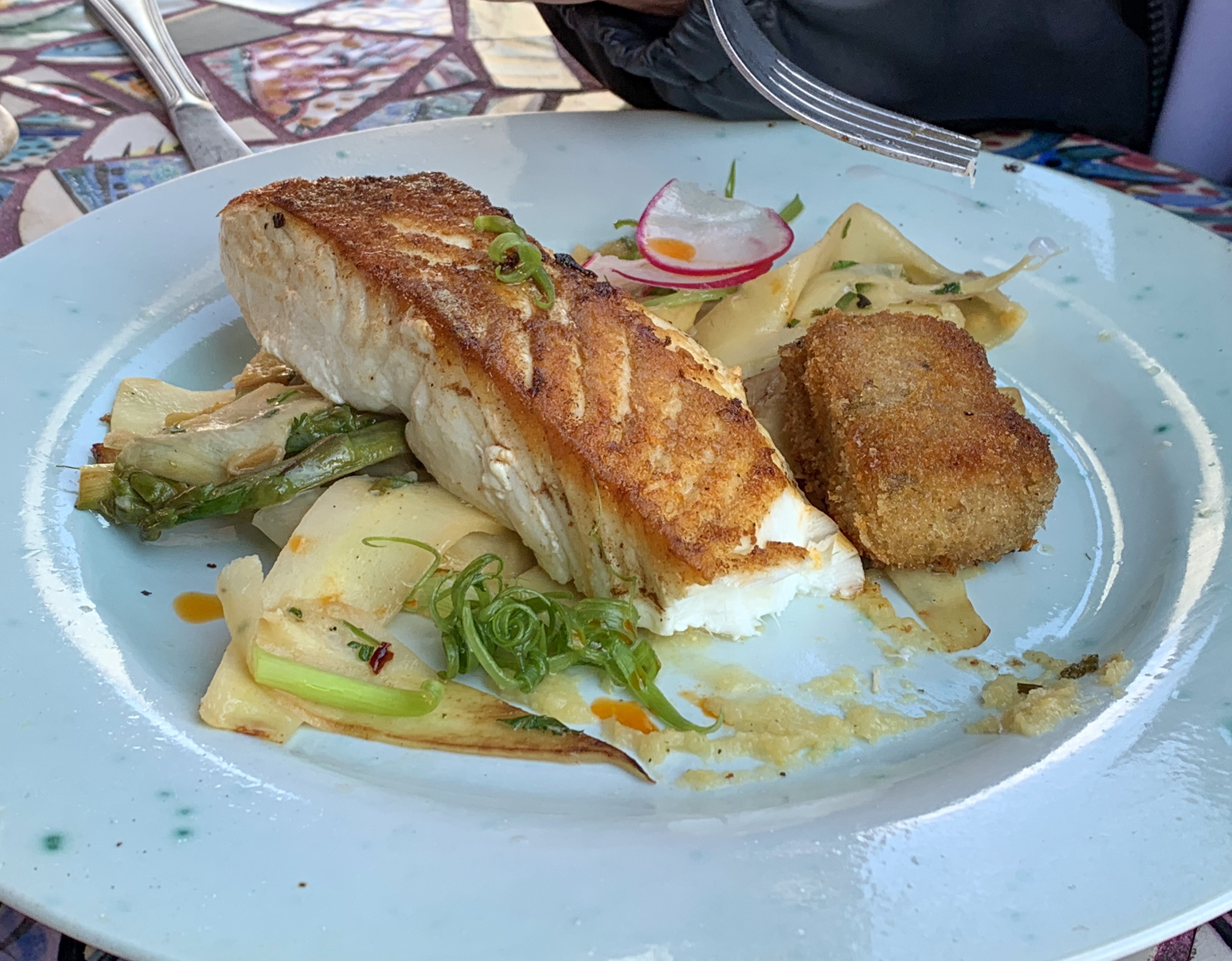
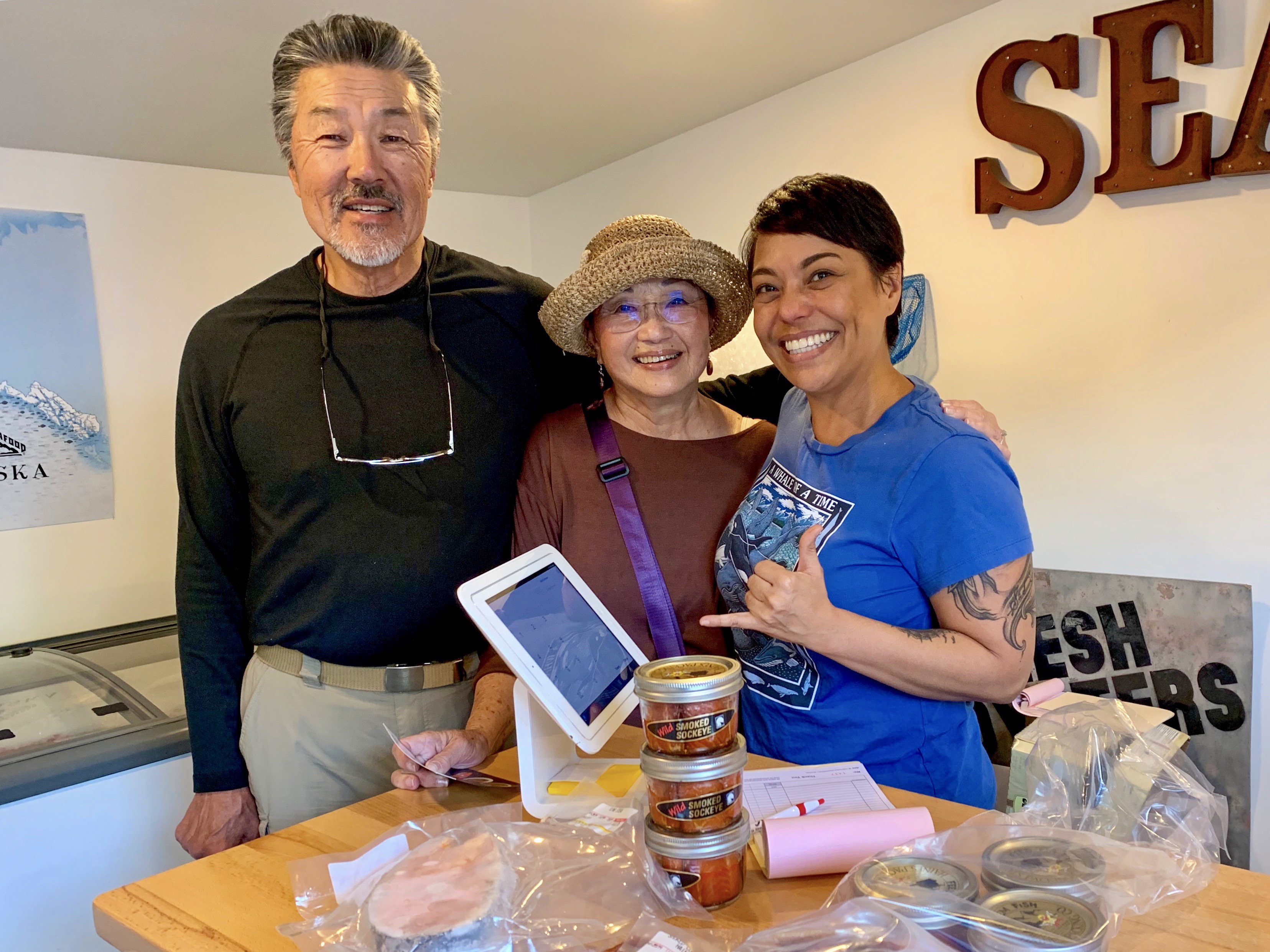
Appetizers included mussels harvested that morning, 300 yards from the restaurant, shrimp poke, and pickled salmon.

Halibut Cove
Sally doing her “Titanic” impression. I don’t have enough hair to be Leonardo DiCaprio
The tide is way out, so we walked the beach in our rubber boots!
Mermaids, pulling David under!

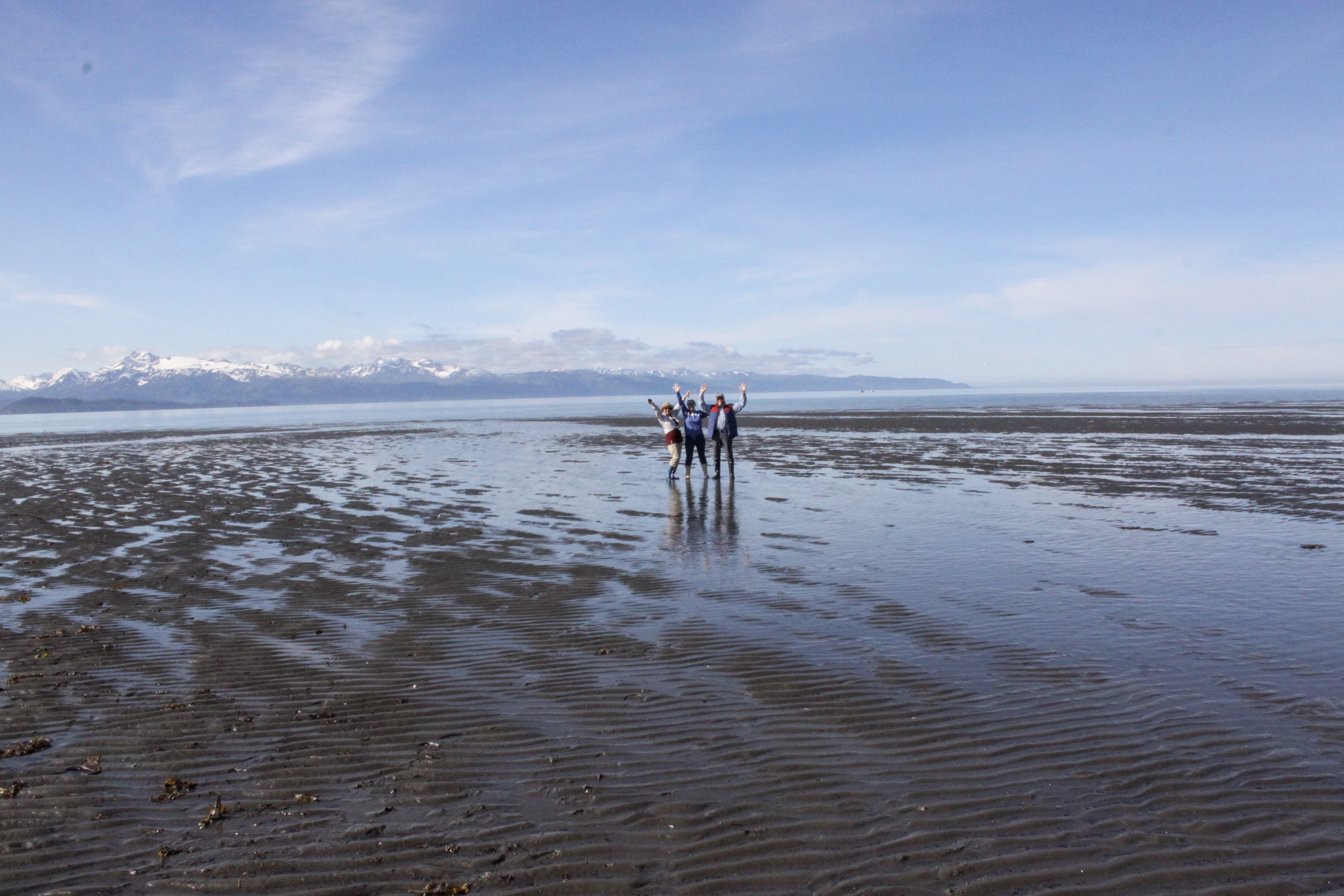
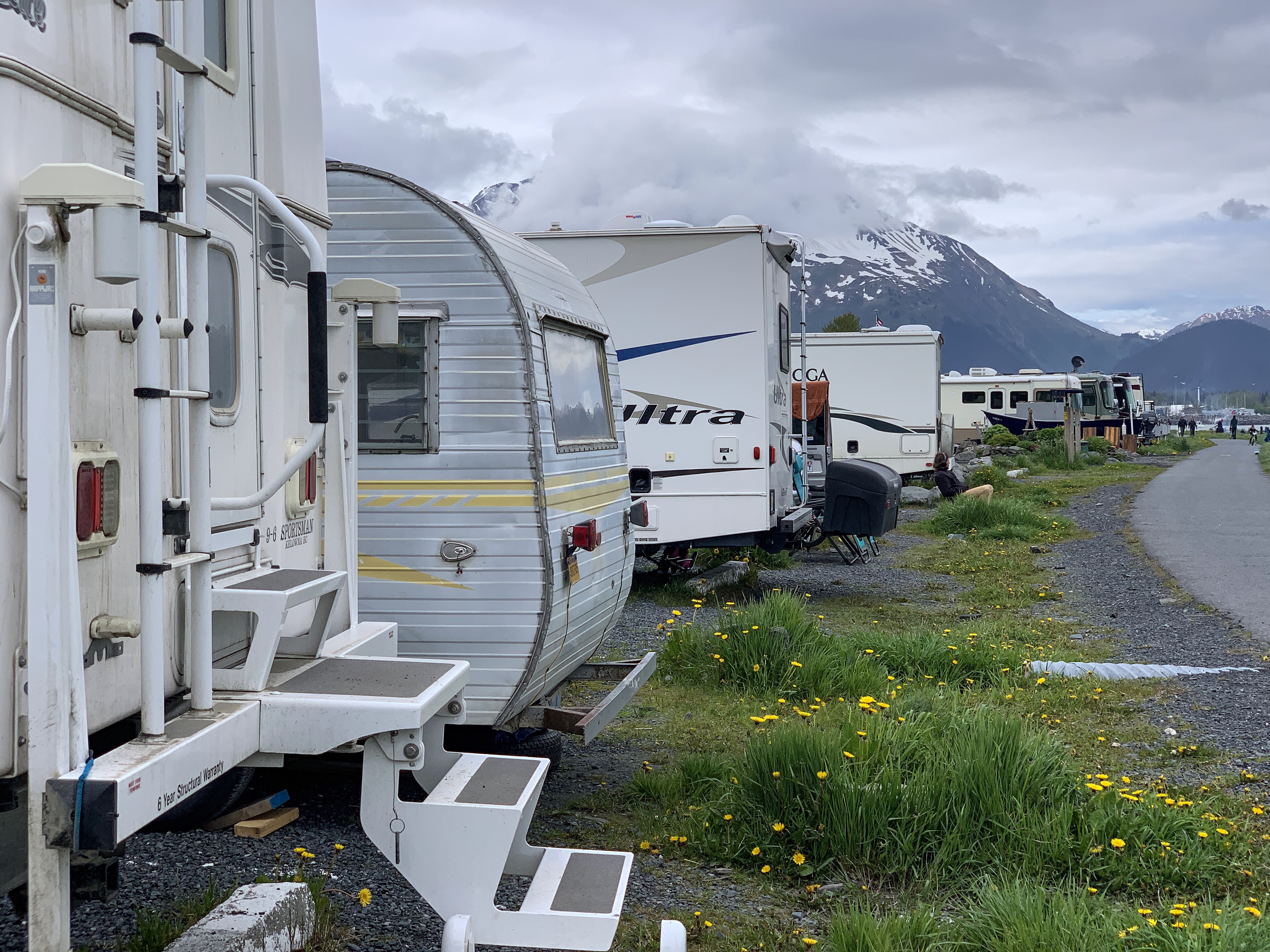
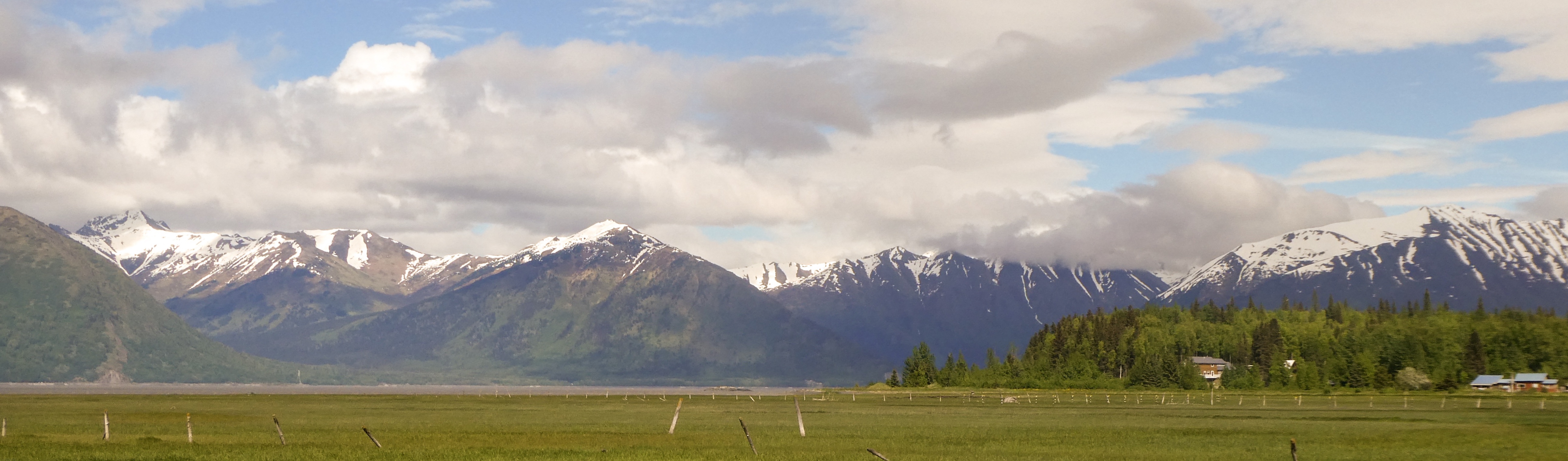
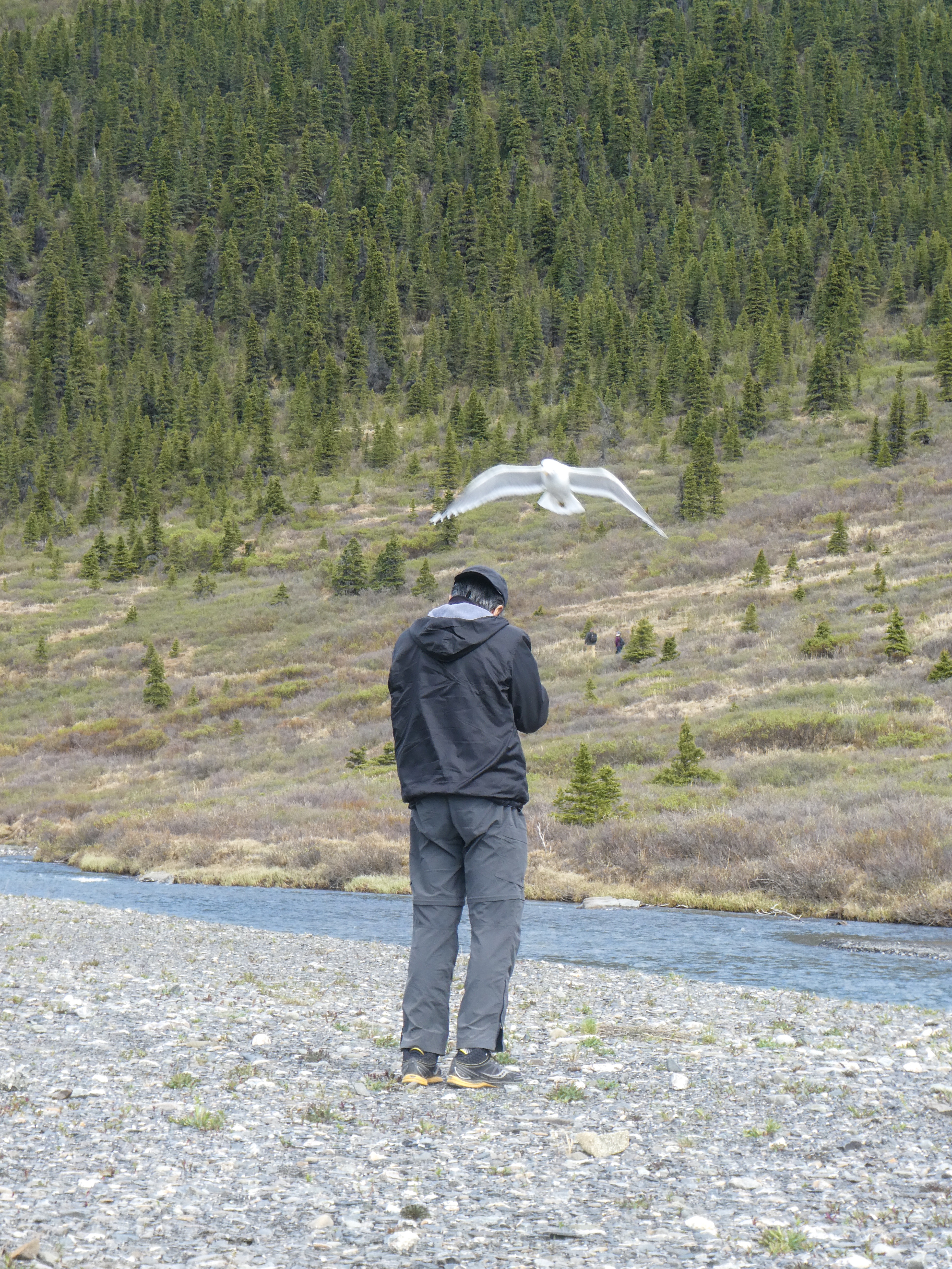
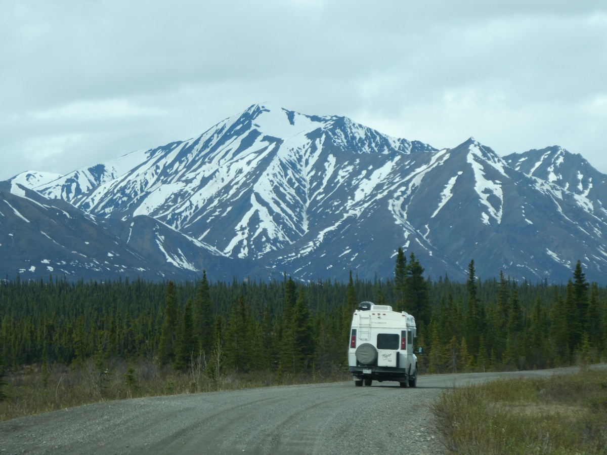
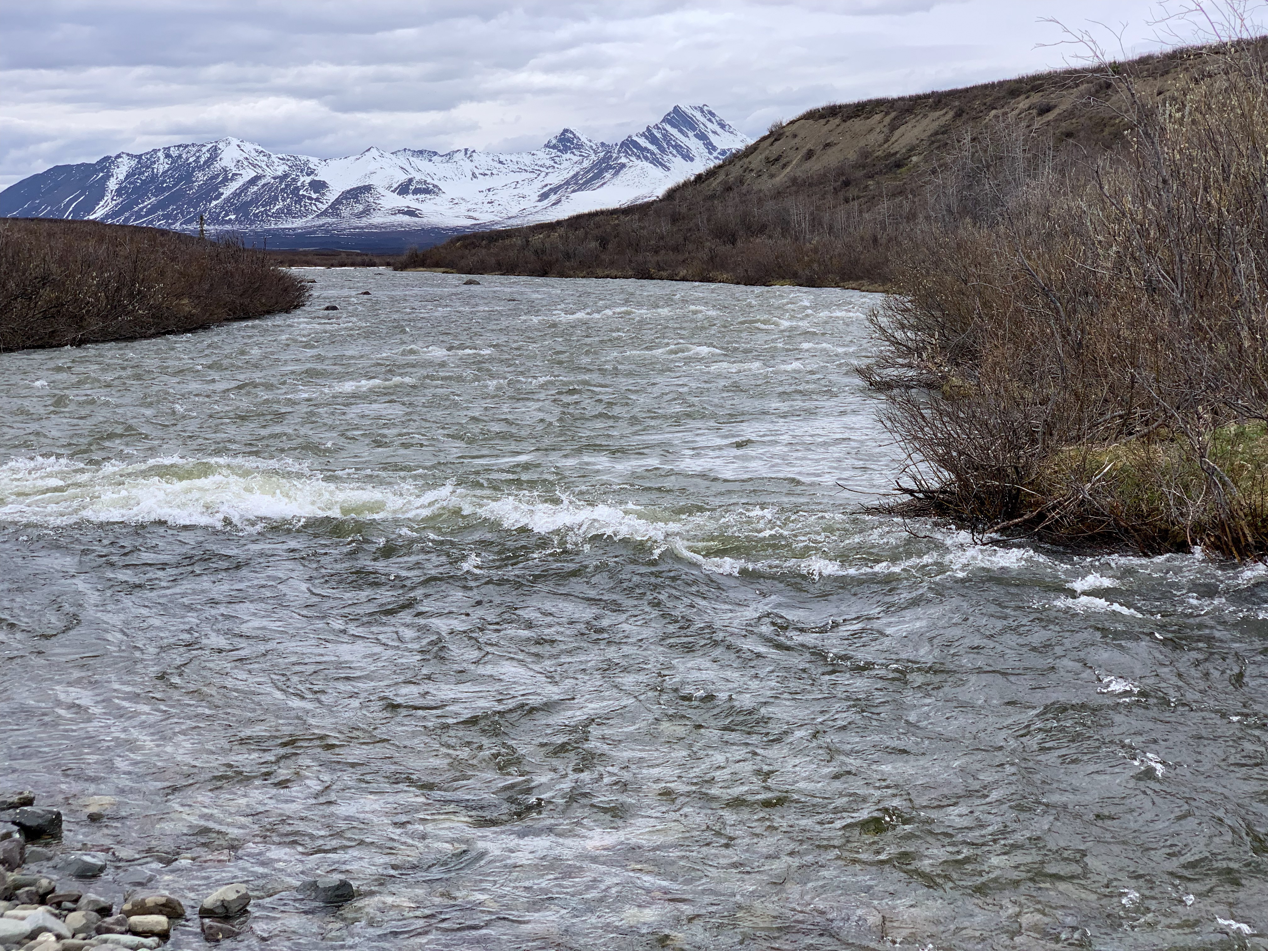
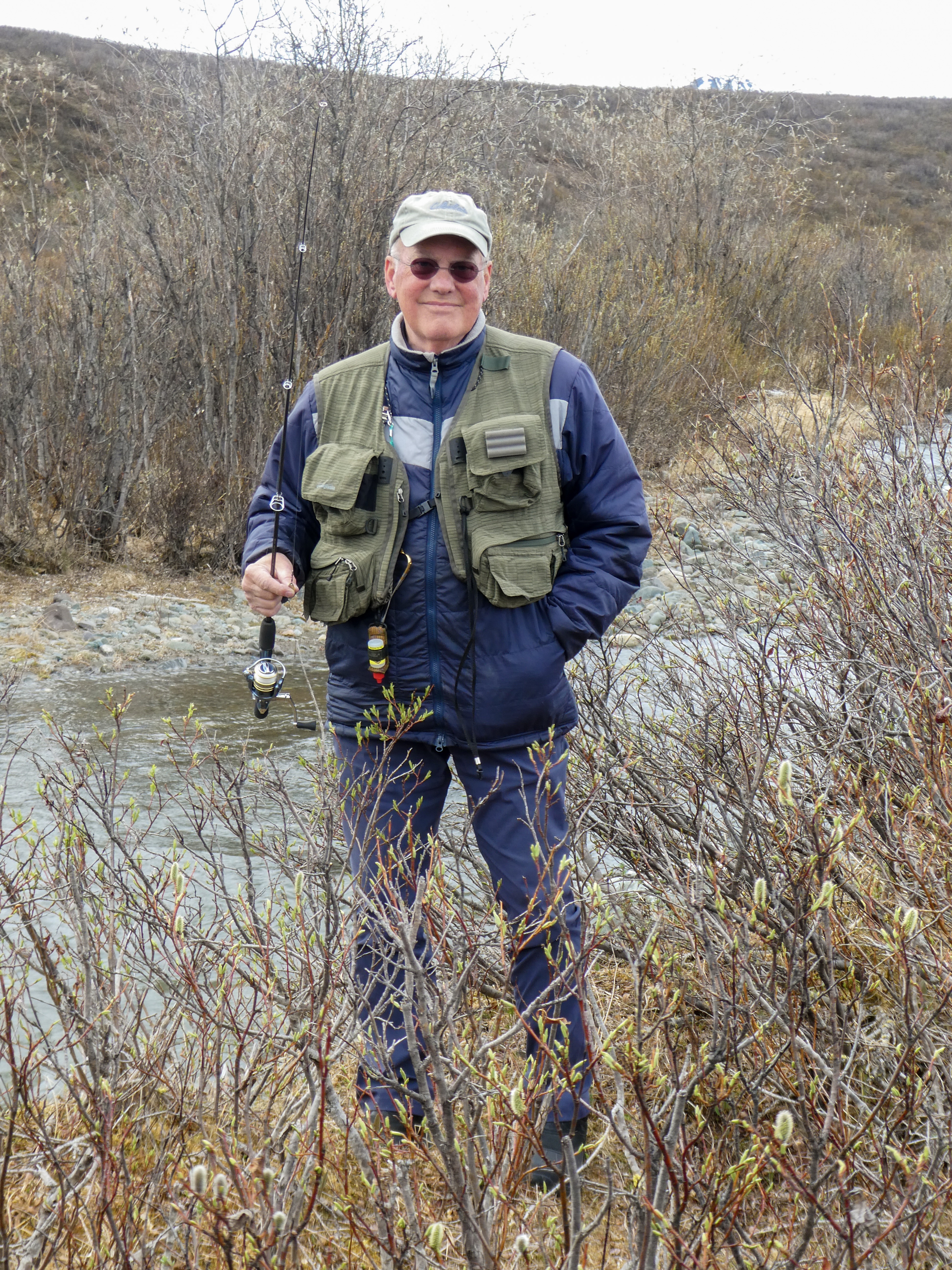
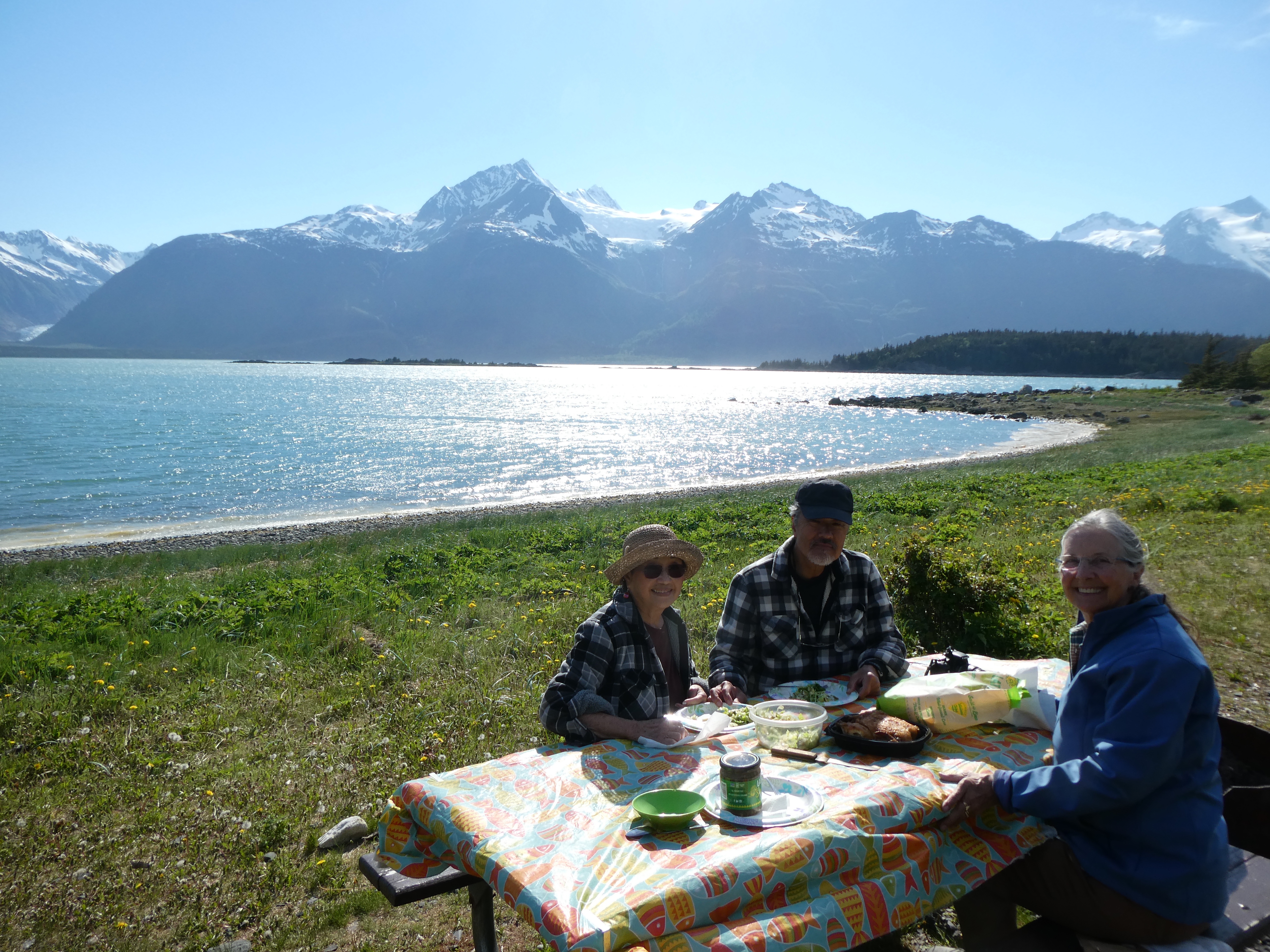
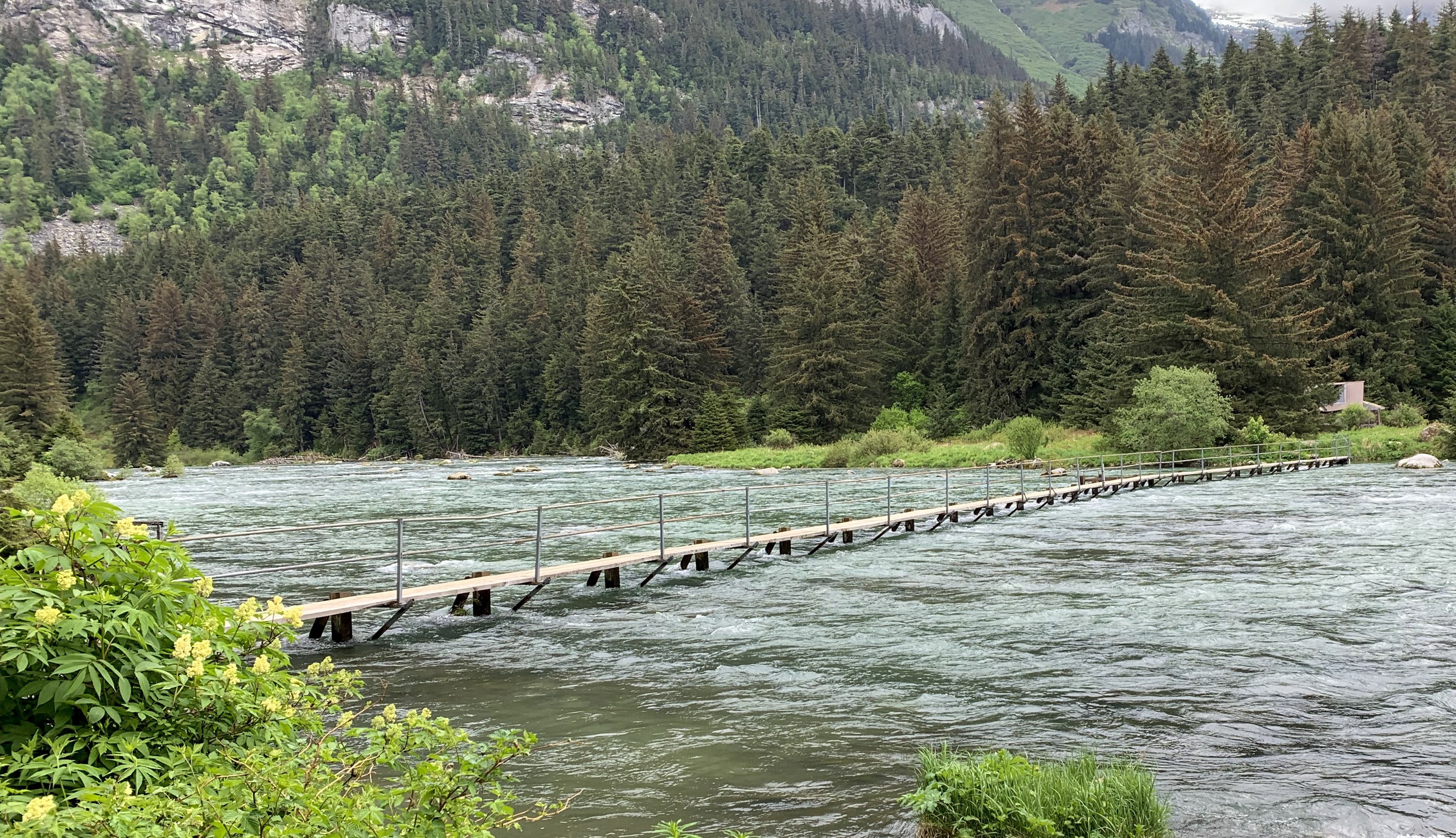
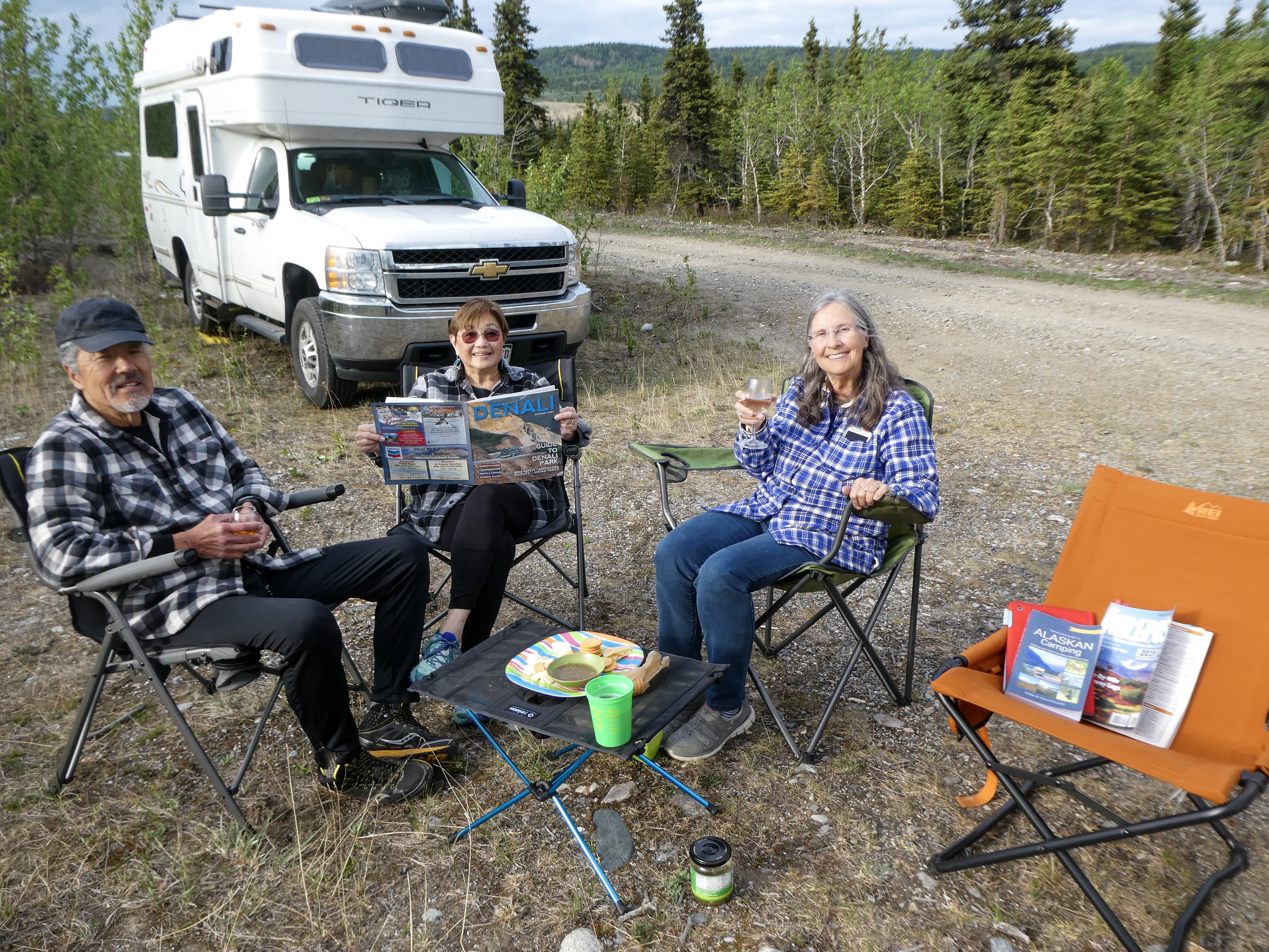
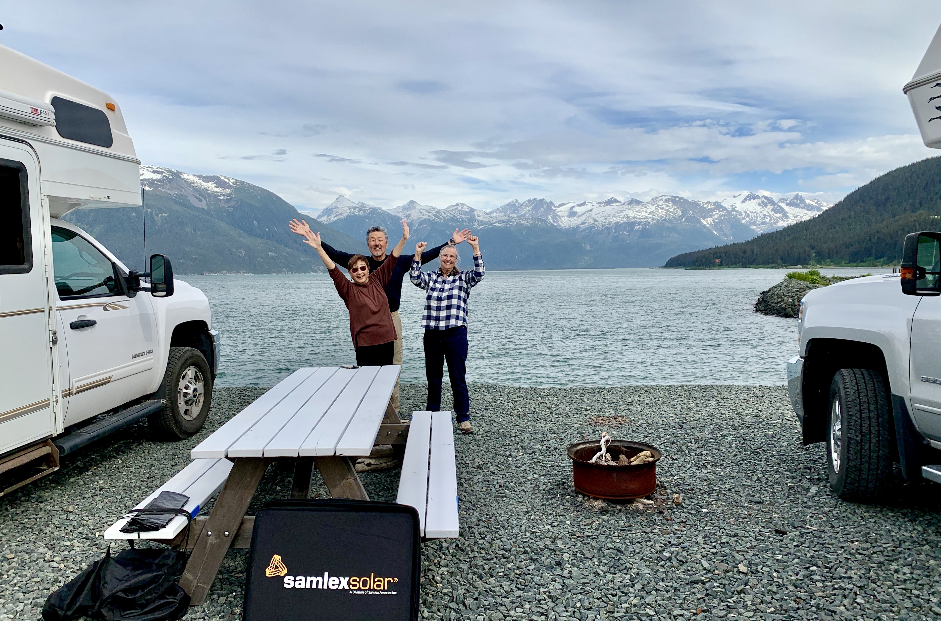
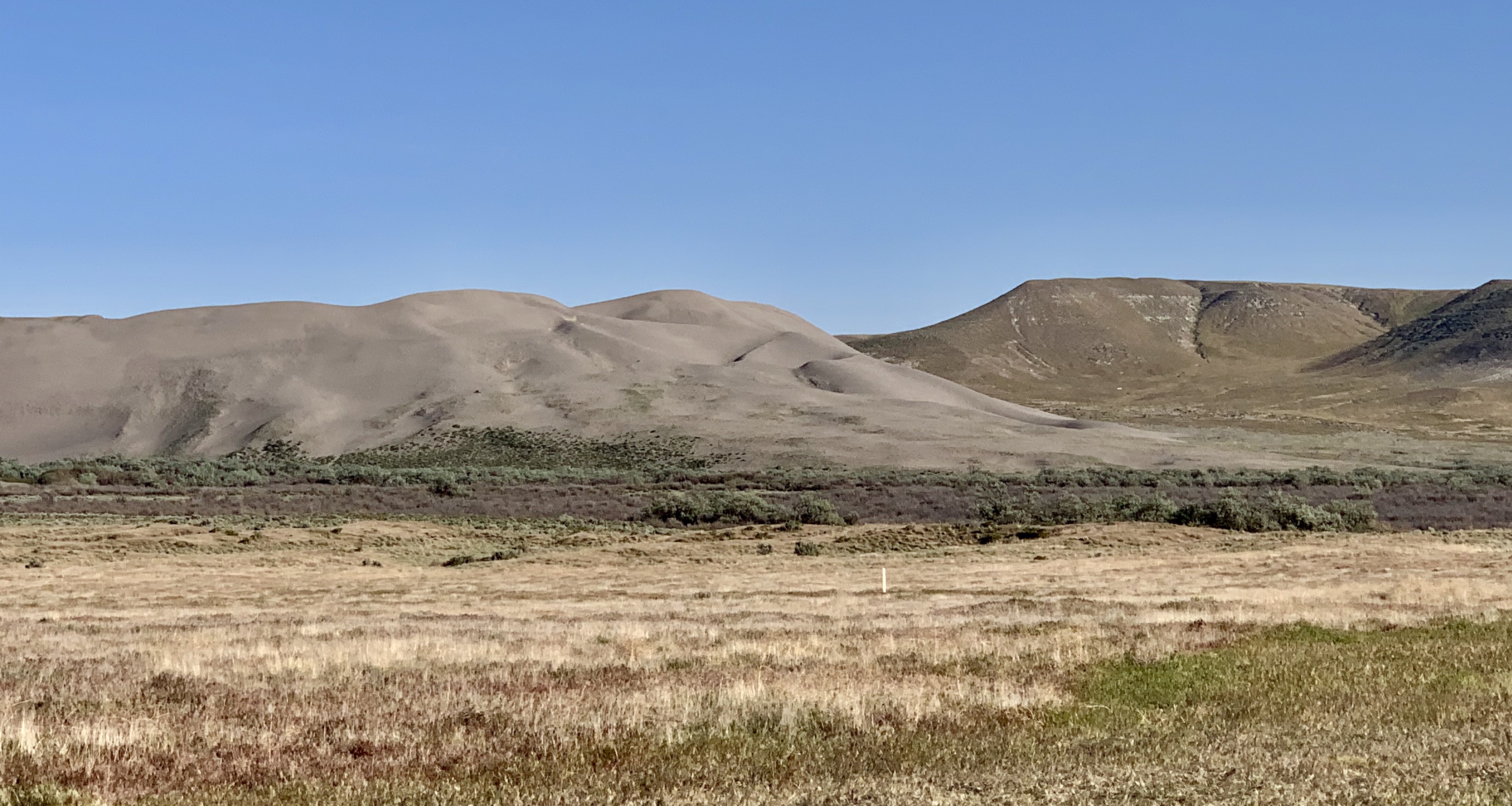
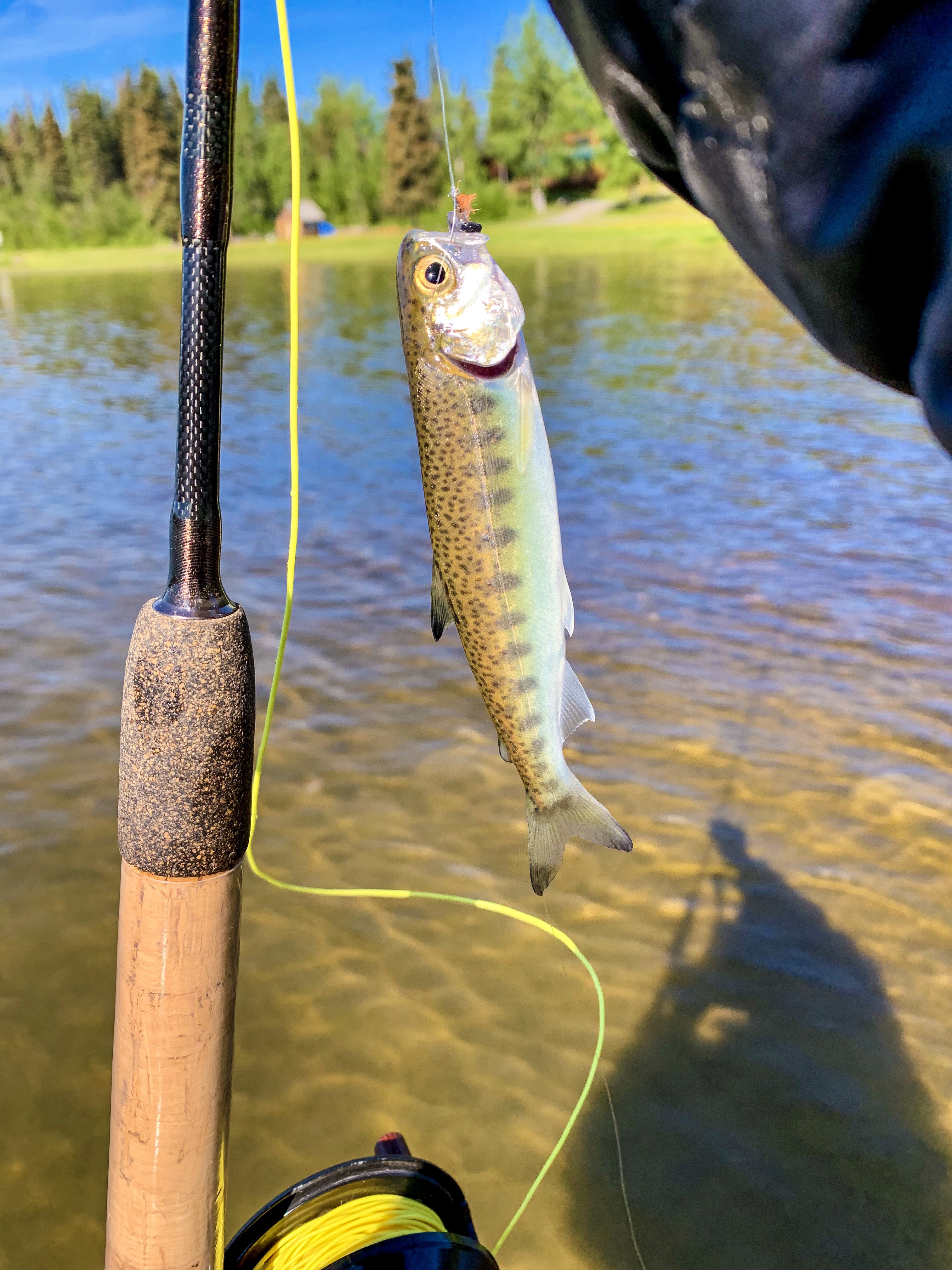
Leaving Homer, we camped for the night on the Kenai River

Campsite on the Kenai River
Happy fishing dude in Alaska
Cutthroat Trout. Not huge, but plenty feisty!

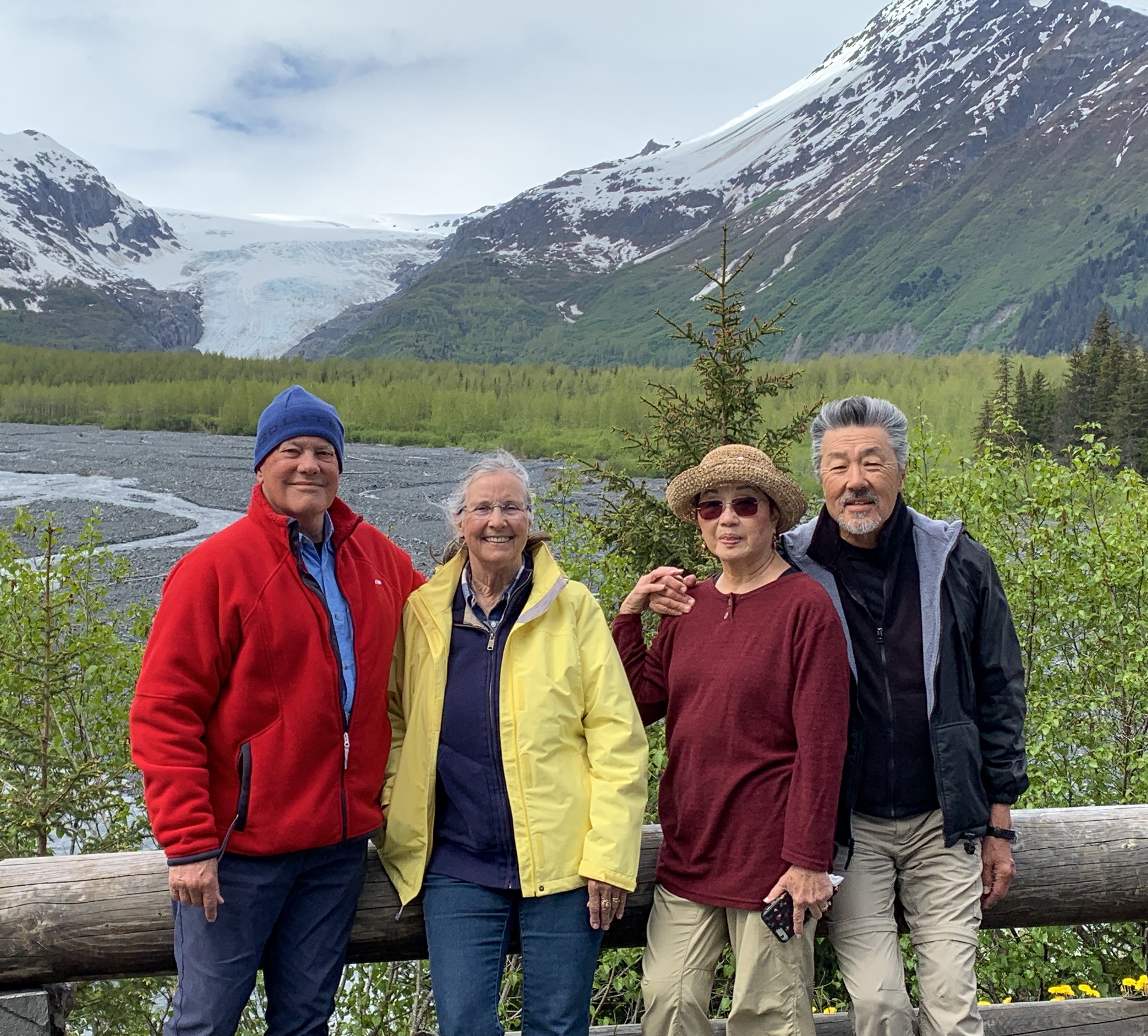
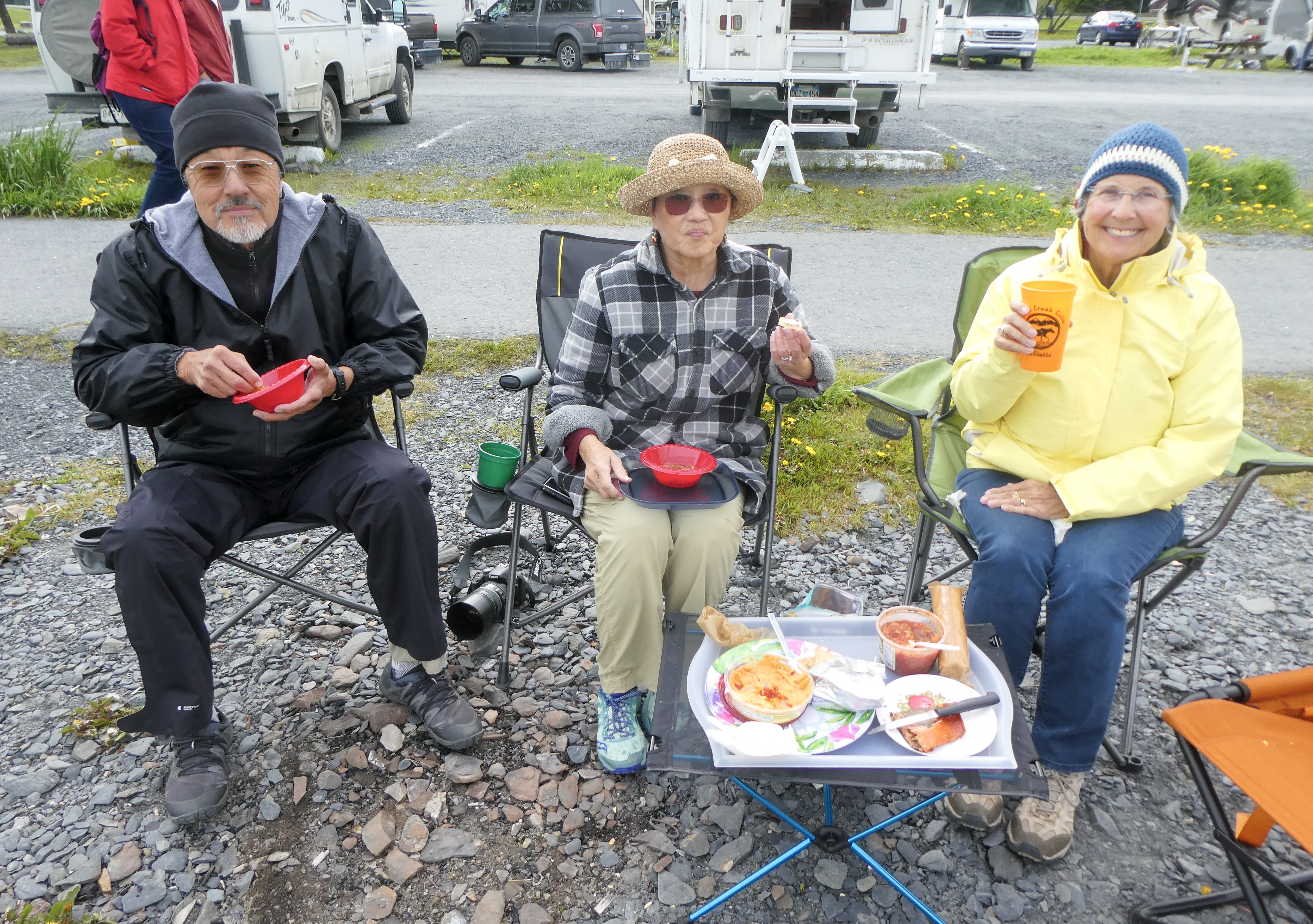
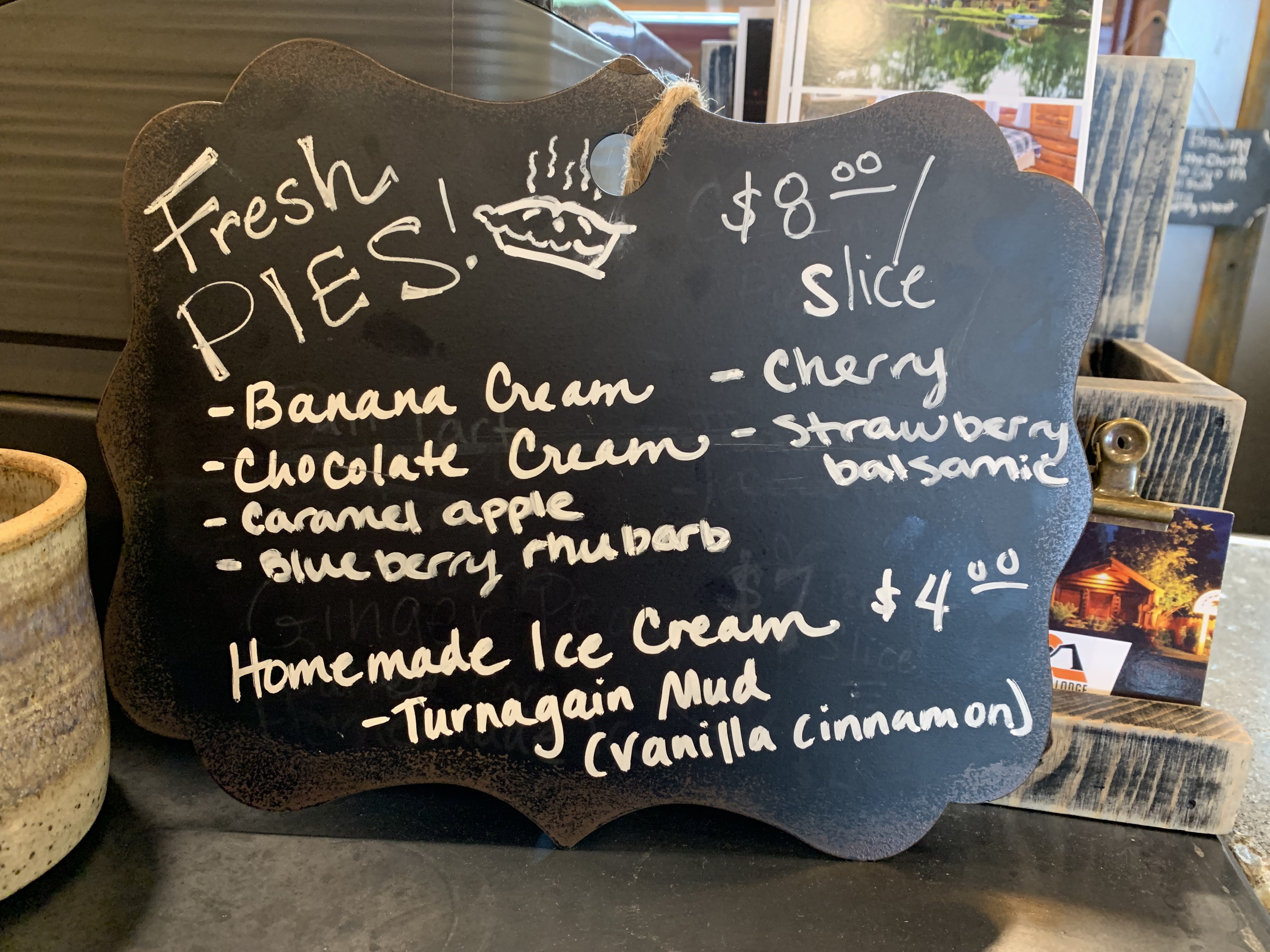
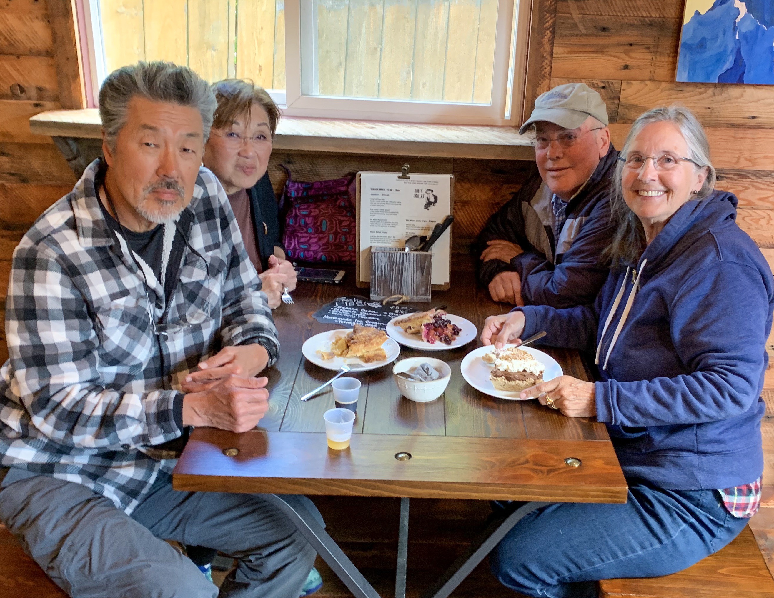
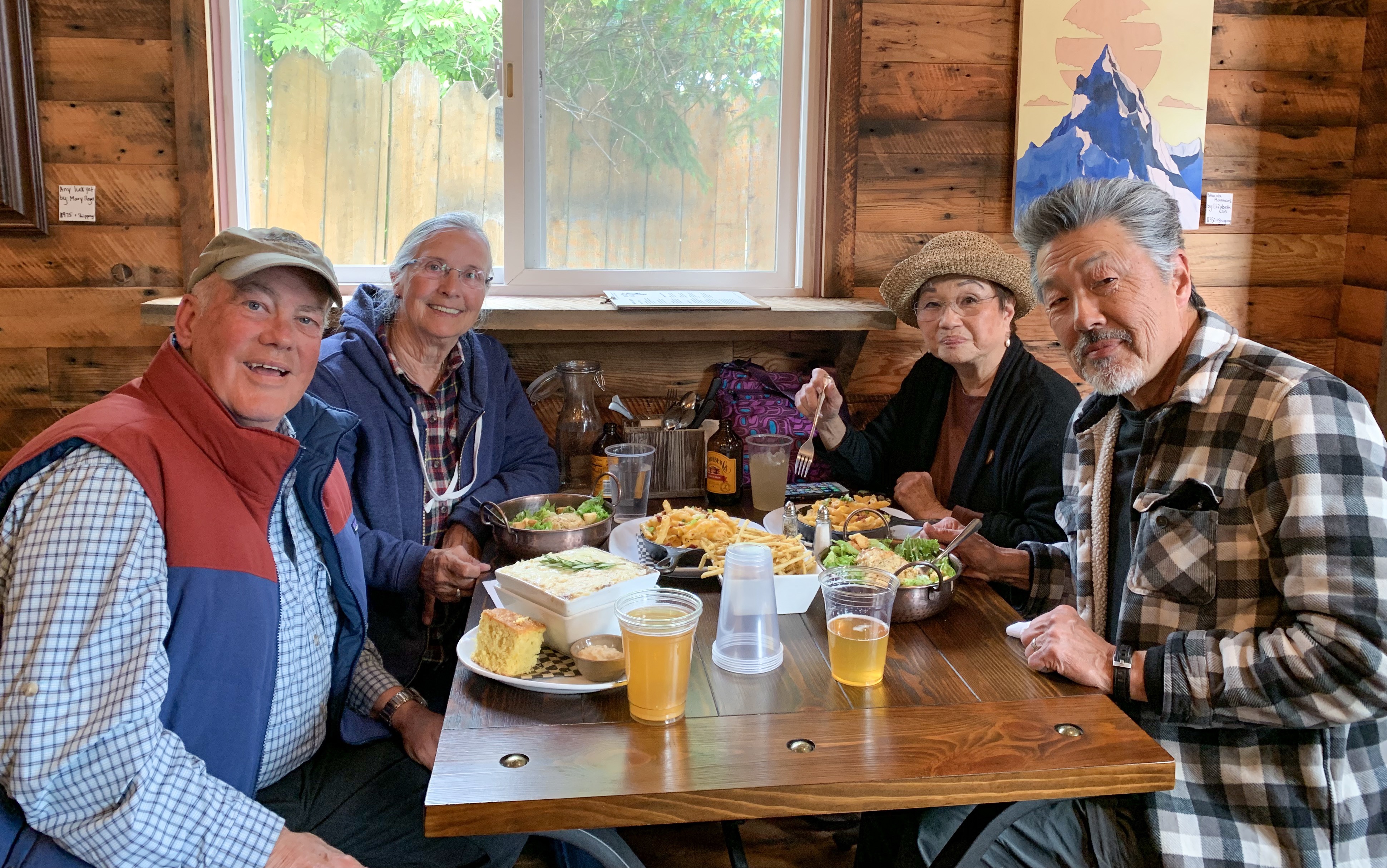
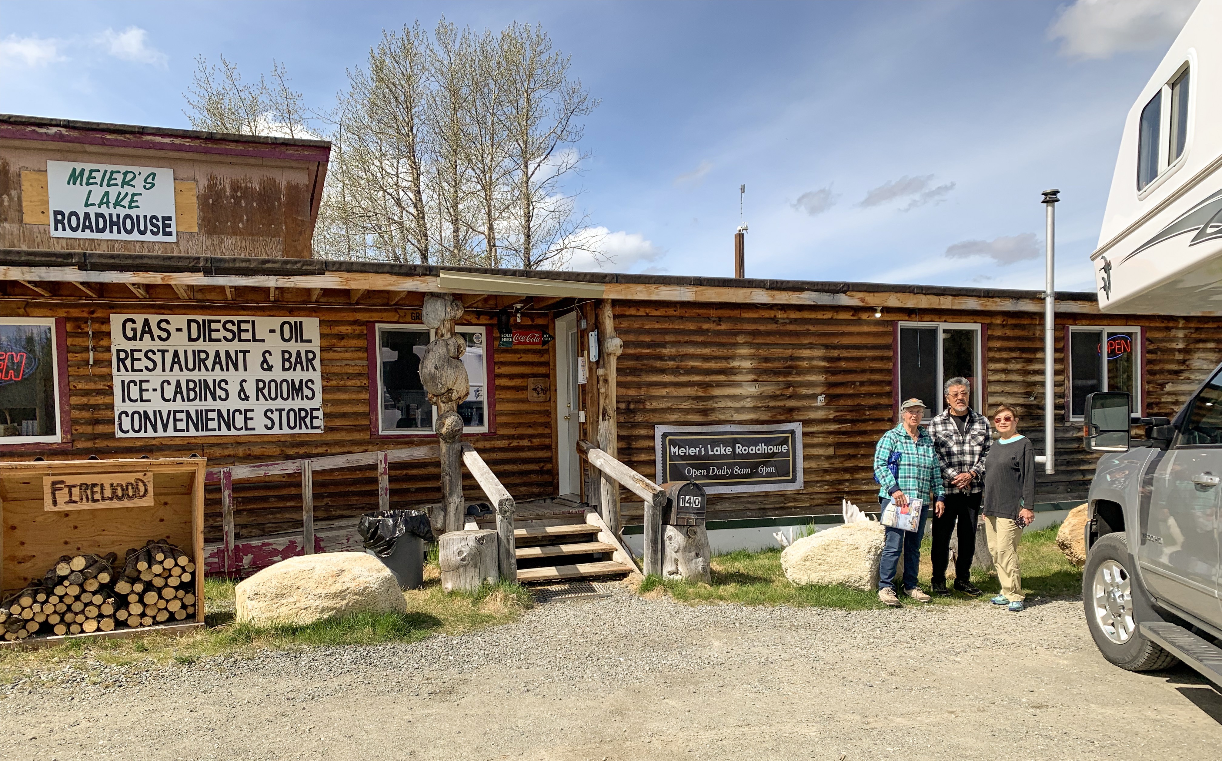
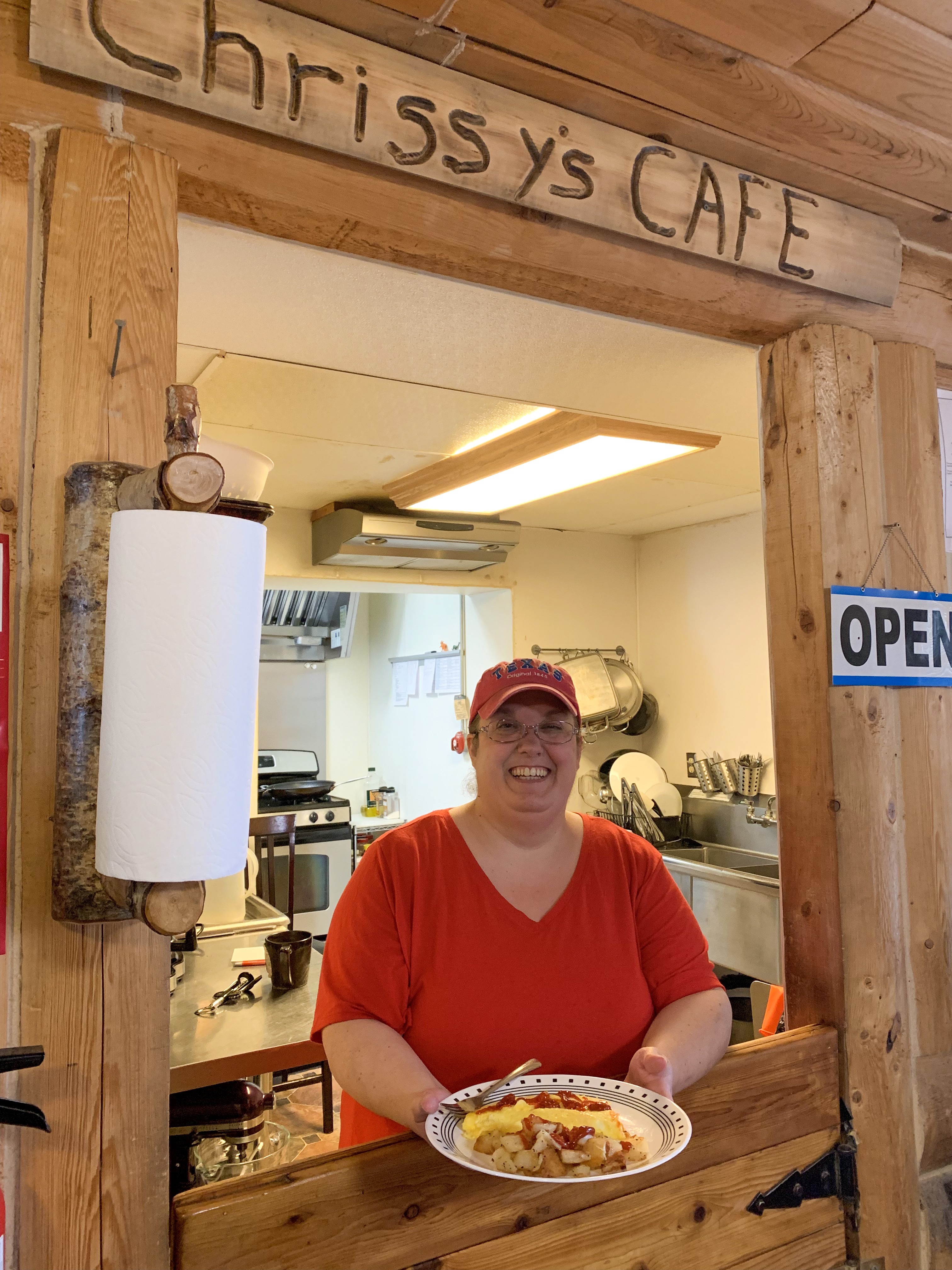
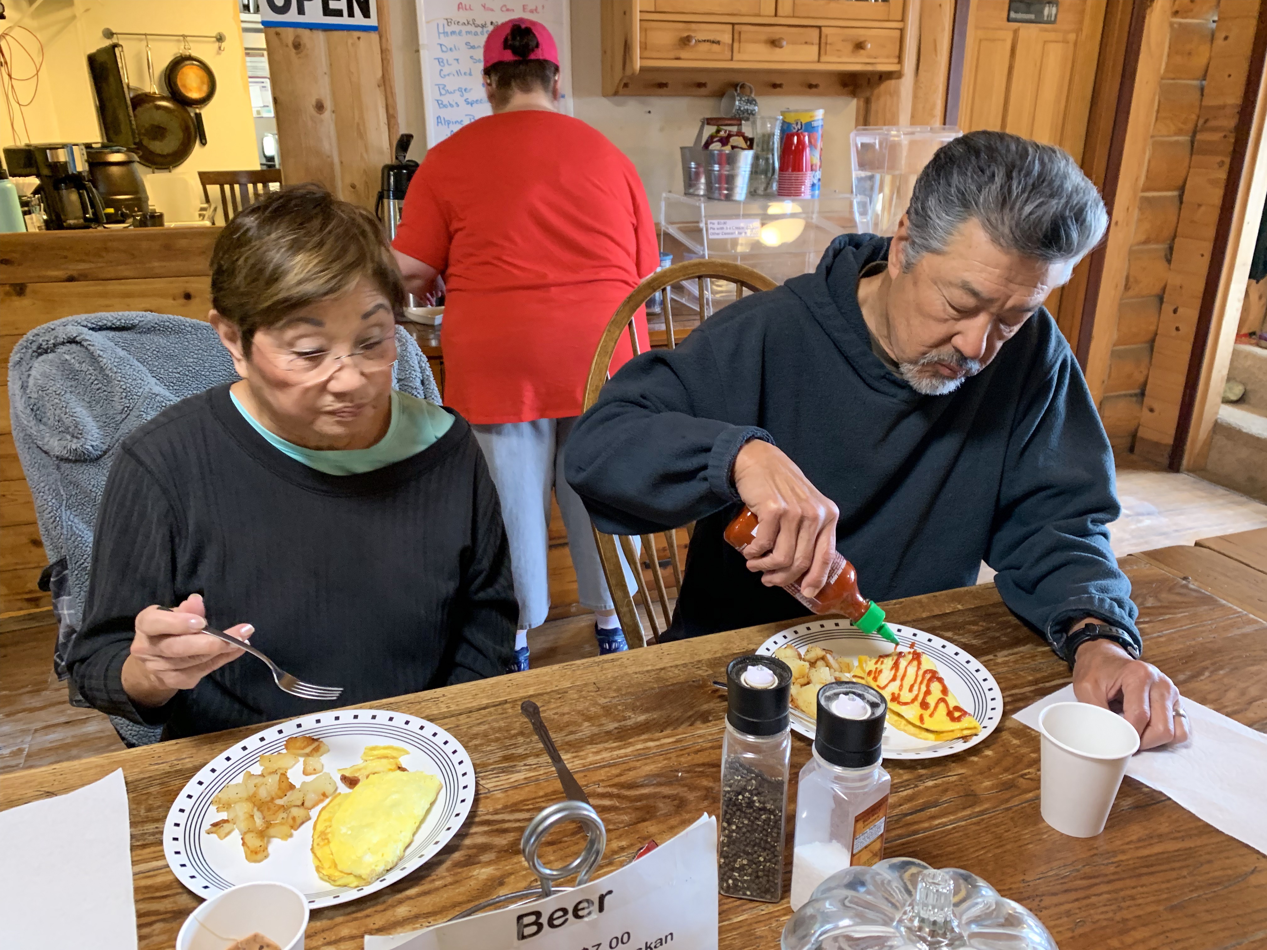
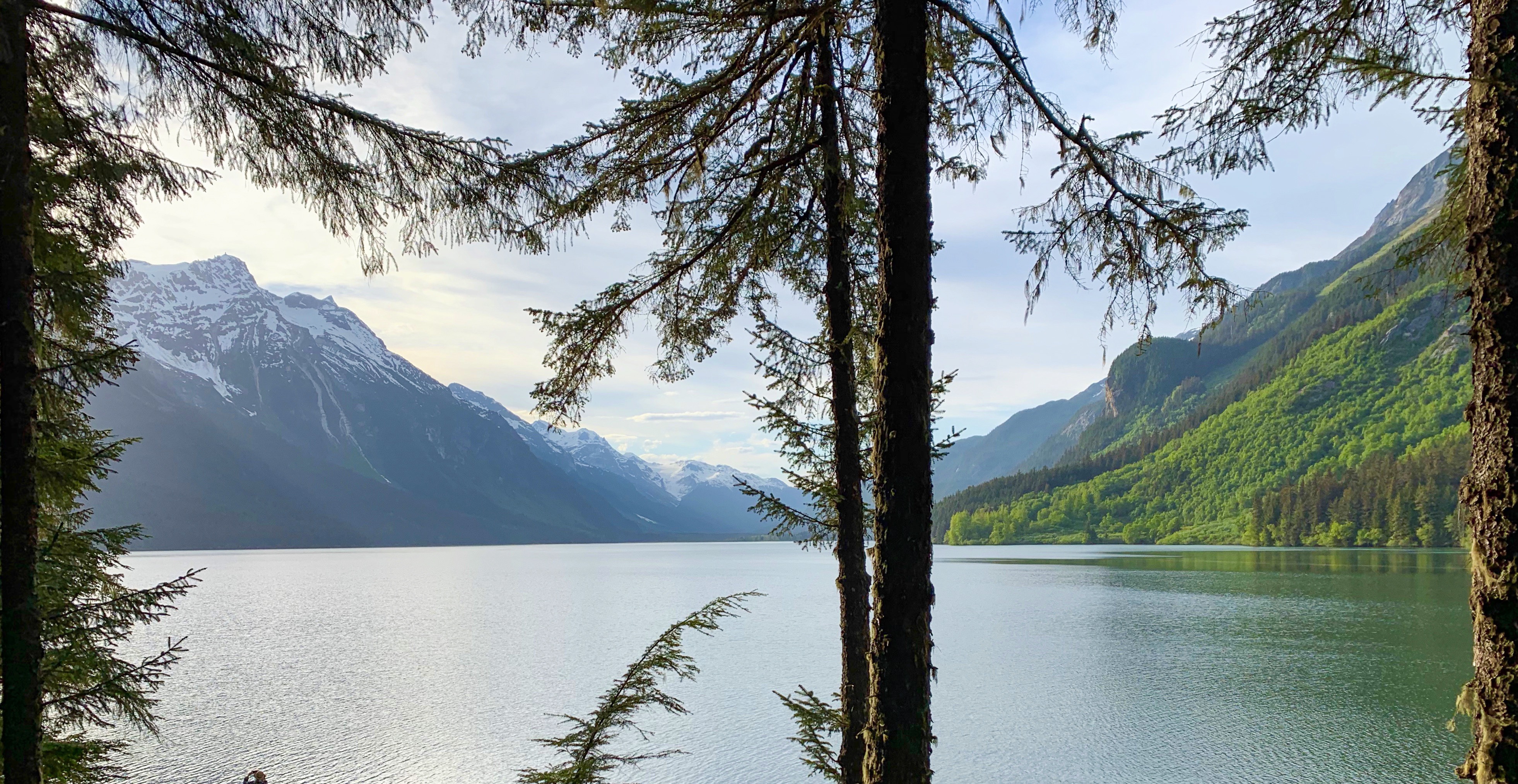
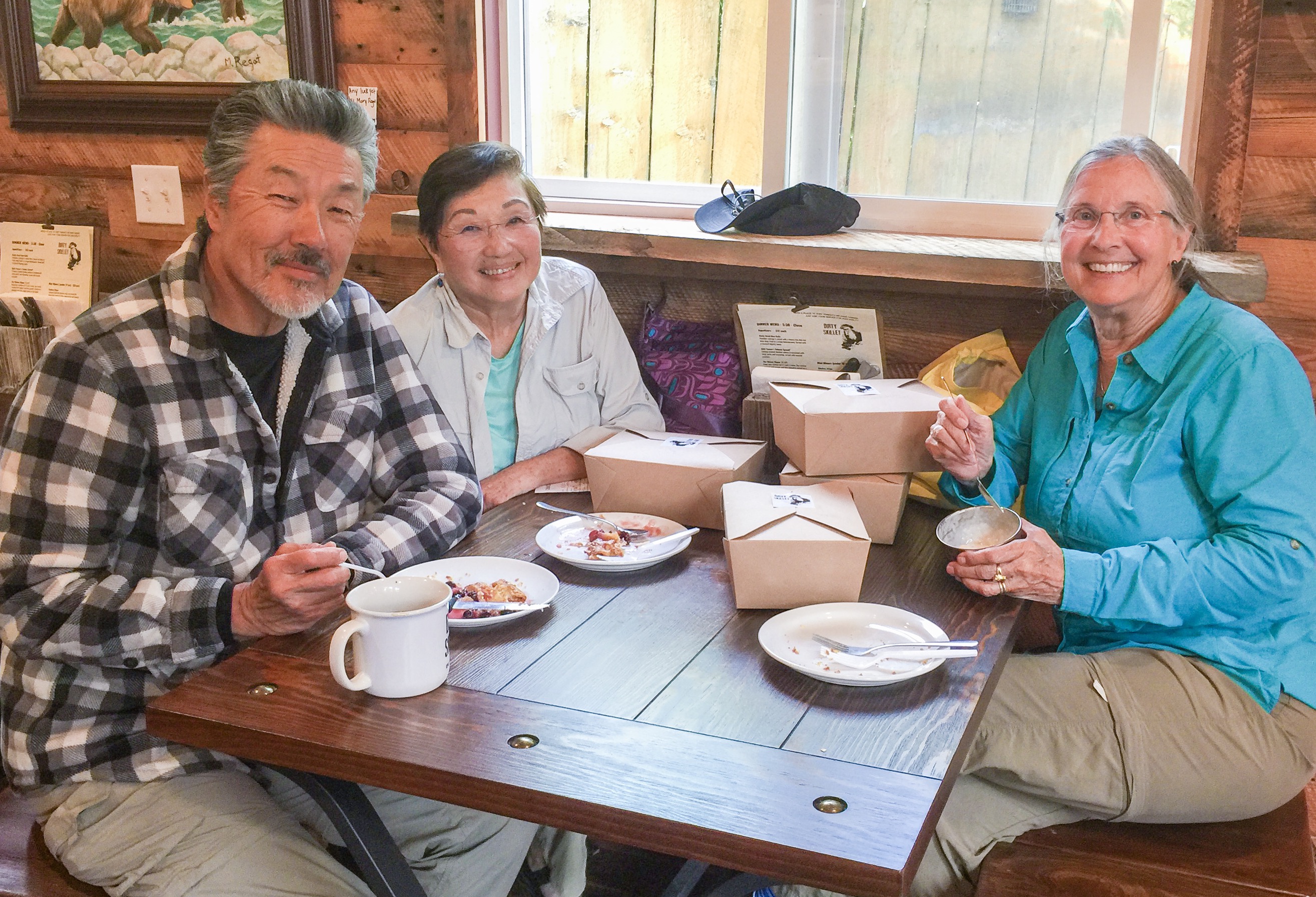
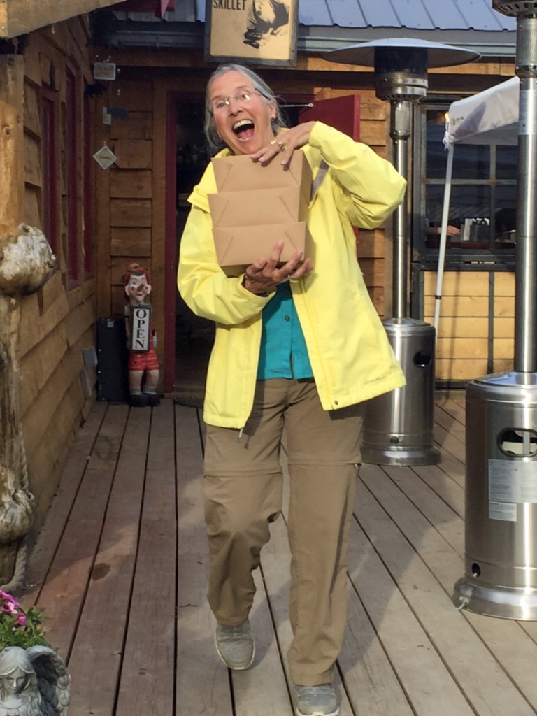
Back to Hope. If asked, we will say we returned to Hope as it was a beautiful, convenient stop on our way to Valdez. In reality, Sally and Ray wanted more pie!

View from our campsite across Turnagain Arm
Back in Hope, Ray (“Pie Guy”), Shirley and Sally go for more pie.
Pie to Go! Sally dampens her enthusiasm for more pie!
Who remembers this? A return to the 1950’s
Sally donates a copy of her book “If You Don’t Take a Bath” to the Hope library.

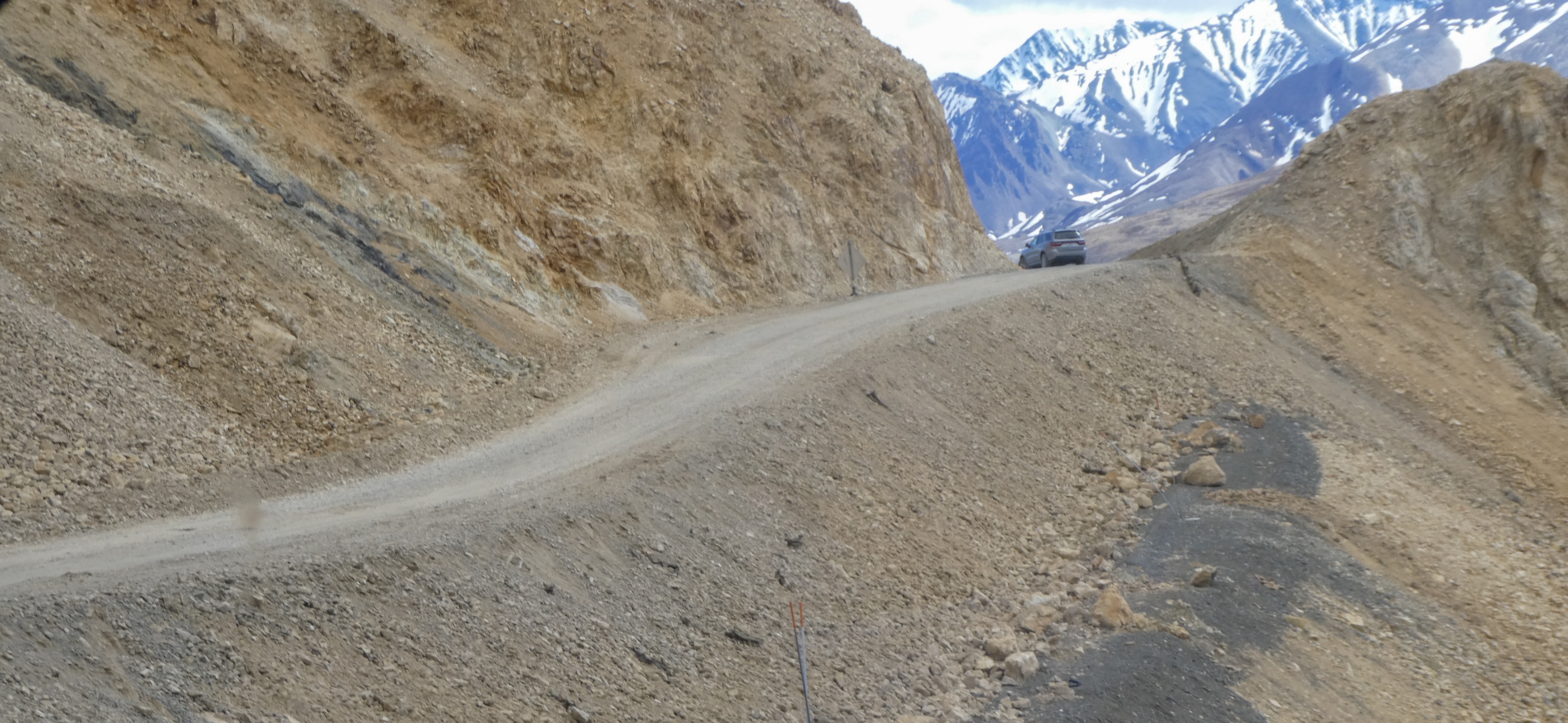
Next Post: the city of McCarthy in the Wrangell-St. Elias National Park

The Kenai Peninsula: Seward

A humpback whale just after breaching

“Seward is a port city in southern Alaska, set on an inlet on the Kenai Peninsula. It’s a gateway to Kenai Fjords National Park, where glaciers flow from the Harding Icefield into coastal fjords. Surrounded by peaks, the fjords are a whale and porpoise habitat. The city’s Alaska SeaLife Center has seals and puffins, and fishing boats fill Seward Harbor.”

“Founded in 1903 as the ocean terminus of what is now the Alaska Railroad, Seward prides itself, not only on its natural beauty, but as Alaska’s only deep-water, ice-free port with rail, highway and air transportation to Alaska’s interior and major urban population centers. This strategically positions Seward for Pacific Rim maritime commerce. The town offers day cruises, kayaking, fishing, abundant marine activities and wildlife, unparalleled recreation and is the terminus for the Alaska Railroad.”

“Seward Waterfront Park extends from the small boat harbor to the SeaLife Center and contains paid tent and RV camping, playgrounds, a skate park, picnicing areas, beach access, and a trail lined with historical landmarks. The trail starts out of town at Mile 5 and continues through the small boat harbor, along the shoreline near all the RV and tent campgrounds, and ends at the SeaLife Center.”

We found campsites on the water, and within an hour we had spotted sea otters, humpback whales, Steller sea lions, harbor seals, a bald eagle and continued to spot more all during our stay.

The view from our campsite
Not too private, but great views and location in the middle of town
A Sea Otter having a snack
Steller Sea Lions playing in front of our campsite
A native woman catching King Salmon at the Resurrection River in Seward
A happy client after taking her family on a charter fishing excursion
Halibut being cleaned on the small boat harbor fish cleaning station
King and Sockeye Salmon being cleaned
Salmon carcasses will be collected and returned to the Resurrection River for marine animals to eat
A commercial fishing boat going out at night
Downtown Seward

After a number attempts at ordering halibut in restaurants, (none satisfactory) and after seeking a number of local recommendations, we ate at “The Cookery” in Seward. The food and service were both excellent.

Dinner at “The Cookery” Seward
Pan fried, never frozen halibut, so tender
Grilled sockeye salmon on cedar

Kenai Fjords National Park

Four musketeers and Exit Glacier
Sally decides it’s too cold to bathe in the glacier melt

“At the edge of the Kenai Peninsula lies a land where the ice age lingers. Nearly 40 glaciers flow from the Harding Icefield, Kenai Fjords’ crowning feature. Wildlife thrives in icy waters and lush forests around this vast expanse of ice. Sugpiaq people relied on these resources to nurture a life entwined with the sea. Today, shrinking glaciers bear witness to the effects of our changing climate.”

Climate Change in Kenai Fjords National

“Kenai Fjords National Park lies along the Kenai Peninsula coast in southcentral Alaska, just southwest of Prince William Sound. The park landscape is a dramatic juxtaposition of land and water, shaped by the advance and retreat of glaciers. The park is capped by the largest icefield entirely contained within the United States, Harding Icefield, a 300 square mile expanse covering a mountain range under ice several thousand feet thick.Exit Glacier is one of 38 glaciers that flow out from the Harding Icefield.

During the early nineteenth century, the glacier almost reached the Resurrection River, approximately 1.25 miles (2 km) below its present location. In the last 200 years, the glacier retreated exposing the valley below. The exposed valley is a natural laboratory where we can see the processes of life reclaiming a barren landscape: moss, lichen and fireweed colonize the bare rock; followed by grasses, shrubs, alders, and cottonwood; and finally, a spruce-hemlock forest grows where 200 years ago only ice and rock existed. Exit Glacier is accessible by road and thousands of park visitors have an opportunity to experience the glacier firsthand.”

Partying on the beach
After midnight, never gets dark, don’t see stars

Next Post; Homer Alaska

The Kenai Peninsula: The Iditarod Museum And Hope

From Denali to Hope

Heading south from Denali on the Parks Highway, great views of the mountain
Alaska Range peaks on both sides of the highway all day

Leaving Denali National Park, we headed south toward Anchorage and the Kenai Peninsula with beautiful views on both sides of the highway.

The Sled Dog Relay That Inspired the Iditarod (From The History Channel Site)

“The children of Nome were dying in January 1925. Infected with diphtheria, they wheezed and gasped for air, and every day brought a new case of the lethal respiratory disease. Nome’s lone physician, Dr. Curtis Welch, feared an epidemic that could put the entire village of 1,400 at risk. He ordered a quarantine but knew that only an antitoxin serum could ward off the fast-spreading disease. The nearest batch ofthe life-saving medicine, however, rested more than 1,000 miles away in Anchorage. Nome’s ice-choked harbor made sea transport impossible, and open-cockpit airplanes could not fly in Alaska’s subzero temperatures. With the nearest train station nearly 700 miles away in Nenana, canine power offered Nome its best hope for a speedy delivery.

Sled dogs regularly beat Alaska’s snowy trails to deliver mail, and the territory’s governor, Scott C. Bone, recruited the best drivers and dog teams to stage a round-the-clock relay to transport the serum from Nenana to Nome. On the night of January 27, 1925, a train whistle pierced Nenana’s stillness as it arrived with the precious cargo—a 20-pound package of serum wrapped in protective fur.

Musher “Wild Bill” Shannon tied the parcel to his sled. As he gave the signal, the paws of Shannon’s nine malamutes pounded the snow-packed trail on the first steps of a 674-mile “Great Race of Mercy” through rugged wilderness, across frozen waterways and over treeless tundra. Even by Alaskan standards, this winter night packed extra bite, with temperatures plummeting to 60 degrees below zero Fahrenheit. Although every second was precious as the number of confirmed cases in Nome mounted, Shannon knew he needed to control his speed. If his dogs ran too fast and breathed too deeply in such frigid conditions, they could frost their lungs and die of exposure. Although Shannon ran next to the sled to raise his own body temperature, he still developed hypothermia and frostbite on the 52-mile leg to Tolovana before handing off the serum to the second dog team.

With moonlight and even the northern lights illuminating the dark Alaskan winter days, the relay raced at an average speed of six miles per hour.

While each leg averaged 30 miles, the country’s most famous musher, Norwegian-born Leonhard Seppala, departed Shaktoolik on January 31 on an epic 91-mile leg. Having already rushed 170 miles from Nome to intercept the relay, Seppala decided on a risky shortcut over the frozen Norton Sound in the teeth of a gale that dropped wind chills to 85 degrees below zero. Seppala’s lead dog, 12-year-old Siberian Husky Togo, had logged tens of thousands of miles, but none as important as these. Togo and his 19 fellow dogs struggled for traction on Norton Sound’s glassy skin, and the fierce winds threatened to break apart the ice and send the team adrift to sea. The team made it safely to the coastline only hours before the ice cracked.

Gusts continued to batter the team as it hugged the coastline before meeting the next musher, Charlie Olson, who after 25 miles handed off the serum to Gunnar Kaasen for the scheduled second-to-last leg of the relay. As Kaasen set off into a blizzard, the pelting snow grew so fierce that his squinting eyes could not see any of his team, let alone his trusted lead dog, Balto. On loan from Seppala’s kennel, Balto relied on scent, rather than sight, to lead the 13-dog team over the beaten trail as ice began to crust the long hairs of his brown coat. Suddenly, a massive gust upwards of 80 miles per hour flipped the sled and launched the antidote into a snow bank. Panic coursed through Kaasen’s frostbitten body as he tore off his mitts and rummaged through the snow with his numb hands before locating the serum.

Kaasen arrived in Port Safety in the early morning hours of February 2, but when the next team was not ready to leave, the driver decided to forge on to Nome himself. After covering 53 miles, Balto was the first sign of Nome’s salvation as the sled dogs yipped and yapped down Front Street at 5:30 A.M. to deliver the valuable package to Dr. Welch.

The relay had taken five-and-a-half days, cutting the previous speed record nearly in half. Four dogs died from exposure, giving their lives so that others could live. Three weeks after injecting the residents of Nome, Dr. Crosby lifted the quarantine.

The Iditarod Museum, Wasilla

At the museum, we viewed a very interesting video re: the Iditarod race, Alaskan Huskies and related topics. We also took a short ride on a training sled, played with puppies, met the son of the race creator, and learned about working sled dogs diet requirements (quite interesting actually).

Wild sled ride at 12 MPH, pulled by dogs who competed in the Iditarod
Ray Redington, center, son of Iditarod Race founder Joe Redington
Sooooo cute!

Hope, Alaska

Drawn by tales of the town’s gold mining history, restored buildings and natural beauty we made a short detour to Hope.

Oh and It didn’t hurt that we had gotten inside information that the best pie in Alaska could be discovered in Hope.

Historic Cafe
Signs of the times
The view from our campsite
The Dirty Skillet Restaurant pie menu

After some detective work, we found the pie baker’s delicious products were to be found at the Dirty Skillet Café, not far from our campsite.

We met the owners Jeannine and Derrick Janaay, enthusiastic, hard working owners of the Cafe and adjoining Bear Creek Lodge.

The “pie lady” turned out to be named Marie, was from Italy, married a Japanese man and settled in Hope to make some of the most delicious pie we have ever had. A bit pricey, but the delectable crust, tasty fillings and generous size slices made Marie’s pies a big hit.

Pie!
After pie in the restaurant, we couldn’t resist a slice or two to go Ray was so impressed , he got three to go!

After perusing the dinner menu, we decided to go back To the Dirty Skillet for dinner as well. Good beer, tasty food and FOUR MORE SLICES OF PIE!

Waiting at camp until we could return for more pie!
Same table, shepherds pie, Caesar salad with crab cakes, Mac and cheese with bacon and, of course , more pie
Lovely Diana Z’s music at the Dirty Skillet

Next Post: Seward Alaska

Denali National Park

Today: 64 degrees, sunny and Denali is clearly visible. Alaska heaven!

“Denali is six million acres of wild land, bisected by one ribbon of road. Travelers along it see the relatively low-elevation taiga forest give way to high alpine tundra and snowy mountains, culminating in North America’s tallest peak, 20,310′ Denali. Wild animals large and small roam unfenced lands, living as they have for ages. Solitude, tranquility and wilderness await”

View of Denali

Creation of Denali National Park and Preserve

“Charles Sheldon was a hunter and naturalist attracted to Denali specifically by Dall sheep. He had traveled the world hunting sheep and was drawn here by the world’s only wild, white mountain sheep.In the winter of 1907-8, Sheldon observed over 2000 Dall sheep taken from the Denali area by commercial meat hunters who sold the carcasses to Alaska railroad workers and gold miners in Kantishna.

These two occurrences brought the first significant numbers of white men to Interior Alaska. Sheldon was astute enough to realize the hunting of wildlife and the fragile ecosystem would vanish under these kinds of pressures.Sheldon returned to Washington, D. C. and with the help of the Boone and Crockett Club, lobbied Congress to establish Mount McKinley National Park to protect the wildlife within. On February 26, 1917, President Wilson signed into law the bill establishing Mount McKinley National Park as a 2 million acre wildlife preserve.

Considering that at the time most people’s impression of Alaska was “Seward’s Folly, and the fact we did not reach statehood until 1959, it was a courageous act to protect such vast lands in what was then considered by many to be a remote and frozen wasteland.“

We entered Denali National Park after a long, beautiful trek on the unnpaved Denali Highway. Immediately, we saw a mom moose and her two twin calves next to the road.

Mom Moose, the most dangerous animal in Alaska (or Colorado )
Cute moose calves two weeks old, like stuffed toys until mom saw us .

Grilling our King Salmon steaks from the Haines Canning Company. Best Salmon we have ever had.

Raymond Grillmaster prepares King Salmon steaks

Despite my aversion to tourist busses filled with white (or no hair) retirees, we booked a tour, which is the only way to see the inner areas of the park as personal vehicles are prohibited for much of the park road. It turned out well.

Shuttle bus Lots of stops, On/off where you like and way cheaper than the tan guided busses

We saw 80 or so Dall Sheep , Ptarmigans, snowshoe hares, a coyote, Arctic Ground Squirrels, many caribou, golden eagles, ravens, and black billed magpies, but regrettably for Shirley, no Grizzly Bears 🐻

A bit crowded and noisy, but ultimately fun!
Ready for adventure
Steep drop offs. Sally and Shirley’s favorite! Especially when two busses pass…,
The white spots are Dall Sheep, nearly wiped out in the early days of the park.
Dall Sheep ewes. We saw 80 or so, Dall Sheep
One of many caribou.
Male Ptarmigan changing from winter to summer attire.

For dinner, we grilled my Wyoming Elk steaks (New York strip cut). Yummy!

Dogsledding or “Mushing”

A Kennel Ranger “Mushing”

“Why Mush?

In a modern world filled with high tech solutions for everything it can be hard to comprehend why we would still actively choose to use traditional dog team travel rather than any of the modern alternatives. In fact, there are many reasons to choose sled dogs. TraditionDenali has had sled dogs since 1922. Our first Superintendent, Harry Karstens purchased the first seven sled dogs for use patrolling the newly established park boundaries. The park has maintained working dog teams ever since. Their job has evolved over time and they are no longer patrolling for poachers, they are still performing essential and inspiring work in protecting and preserving the unique character of Denali.

Reliability

Sled dogs have hearts and brains that machines like snowmobiles and airplanes do not. Every kennels ranger has a story of wise lead dogs helping them navigate to a patrol cabin in a white out or to avoid dangerous ice obscured under snow. The dogs know this landscape so well they can provide invaluable wisdom that machines cannot. While a team of sled dogs is obviously far slower than an airplane or a snowmobile, they are arguably more reliable to operate in the extreme conditions of a sub-arctic winter.When it is 40 below zero it can be near impossible to try to start a motor, whereas a dog team simply needs a good breakfast and they are ready and willing to run.

Overflow is a common challenge on rivers and trails in Denali. Snowmobiles can get bogged down and sink in this slushy mess whereas a dog team can run right through it and roll in the snow to dry off on the other side. If a machine breaks down in the middle of remote wilderness like Denali you had better hope you are carrying the right spare parts and tools to fix it. However, if a sled dog gets sick or injured you still have the rest of the team to pull the sled while the injured one can run loose or ride in the sled until they are recovered.

Access

Similar to summer’s back-country rangers, kennels rangers on dogsleds contact winter recreationists and provide information on trail conditions, offer assistance, and monitor use in a low-impact style that preserves the wilderness spirit essential to Denali. The sled-dog trails made during winter field operations are used by winter recreationists who want to explore Denali on skis, snowshoes, or with their own dog team. In winter (November-April) you can use a map to track the travels of the NPS sled dogs and get updates on current conditions throughout the park.

Wonderful presentation by Ranger Jen describing the physical traits of a great sled dog.
Eager Alaskan Huskies pulling the training sled
Dogs going home in “two paw drive”
Shirley and Sally petting a ferociously dangerous sled dog.
Nice views of Denali – fairly rare.

Picnic Lunch at Savage Creek

Mother Seagull on her nest by the creek.
Mom left her nest for a few minutes and we could see her eggs . Who knew seagull eggs were green?
Female seagull dive-bombing Ray as he photographed her nest .
Green eggs and Spam? Seagull omelette for dinner ….? No Way!!

The Denali Highway: 135 Miles of Unpaved Beautiful Wilderness

Meier’s Lake Roadhouse at the east end of the Denali Highway

No internet or phone service since Haines. Generally great weather. Occasionally it rained. Generally warmer (in the 60’s) than home in Colorado.

Wikipedia:

“The highway is now little used and poorly maintained, and closed to all traffic from October to mid-May each year. Only the easternmost 21.3 miles and westernmost 2.6 miles are paved; whether the remainder should be paved as well is a continual source of debate. Washboarding and extreme dust are common, the recommended speed limit is 30 mph

Winter travel on the Denali Highway is exclusively by snowmobile and dogsled. Automobile travelers are severely discouraged from attempting to traverse the road in winter; as recently as 1996 three persons died from exposure when snows blocked their progress. The road is cleared by DOT late in April and generally is passable by non-4WD from then until the first snows close it, usually late September on the eastern, tundra end and late October-early November on the lower, boreal forest western end.”

The description on the internet of the Denali Highway is scary, but the roads were actually better than the county roads to our cabin in Colorado!

Ray, bemused by the 1970’s era gas pumps which work better in the extremely cold winter temperatures
Strawberry rhubarb and berry pie with homemade vanilla ice cream
For $330 I could have purchased an authentic beaver hat. Warm! and I look like a rock star, don’t I?
The Trans Alaska Pipeline. A scar upon the land.
Maclaren Mountains as we climb to the pass.
Maclaren summit Second highest in Alaska
Camping next to Clear Creek
Some fishin’ but no catchin’ on Clear Creek.

Breakfast and Pie at the Alpine Lodge:

The Alpine Lodge

“We are a wilderness lodge in remote Alaska. We are open year round, every day. Alpine Creek Lodge is on the Denali Highway, so travelers can get there in the summer via a gravel road. 68 miles West of Paxson Alaska, and 67 miles East of Cantwell, Alaska. In the summer, we offer hiking tours, photography tours, wildlife viewing tours, gold panning tours, fishing tours and much more! Fully guided, or you can do it yourself! In the winter, the road is not plowed from October 15th to May 15th. During this period, snow machine, dog mushing, skiing, etc are the only way to get to us. Drop off and pick up are available in Cantwell, Alaska via snow machine or tracked vehicle. We are on the South side of the Alaska Range, in the Clearwater Mountains, and this is where you will find real Alaska!”

While we visited the Alpine Lodge, we spoke with the owner and hunters staying there who were harvesting excess grizzly bear (supervised by Alaska game and fish). Grizzlies had almost eliminated the moose population and cameras mounted on grizzlies had evidenced killing sprees of moose calves, fox, Trumpeter Swans, Ptarmigan, beavers and other game animals. The grizzlies killed without eating, then moved on to the next opportunity.

In the winter, the Alpine Lodge gets fresh food and supplies every couple weeks from Cantwell (67 miles to the west). They have a Jeep fitted with tracks (a $10,000 accessory) allowing then to travel the Denali Highway over the snow where otherwise only dog sled mushers or snow machines can go.

Chrissy served up omelettes, spam, hash browns and apple and berry pie!
Ray decorating his omelette with Sri Racha
Oh yes, did I mention there was pie? Best in Alaska so far!
Trumpeter Swan, one of many we saw along the Denali Highway
Campsite on Seattle Creek “Just singin’ in the rain”
Getting close to the end of the Denali Highway
Our first sight of Denali, the mountain, wreathes in clouds
Denali National Park

Next – Denali National Park

The Alaska Highway: From Haines to Tok 🦅

After disembarking from the Alaska Ferry and securing our campsite, we walked 50 yards to the Lighthouse Restaurant, where we met our wonderful waitress, Tiffany. This funny young lady recommended our best two meals thus far: A smoked salmon hoagie one night and incredibly wonderful salmon fish and chips washed down with an Alaska Brewing Company Amber Beer the next.

Haines is the “other” southeast town besides Skagway, having a connection to the road system. All other towns are serviced by ferry. Haines does limit cruise ships to a couple per week, so it’s much less cheesy than Ketchikan or Skagway.

Main Street Haines, Alaska Great views!
Tiffany, our waitress and entertainer
Shirley plays it straight

Breakfasting at the Rusty Compass Café, Lee Robinson (son of Shirley’s friend Didi Robinson) served up one of the best caramel rolls we have ever eaten. Thick gooey caramel sauce, savory bread dough and a touch of cinnamon. After visiting a few museums and gift shops in town and purchasing my Alaska Fishing License (more on this later) we headed out of town to explore two nearby state parks Chilkoot and Chilkat, in opposite directions.

Haines Packing Company

On the way to Chilkat we stopped at the Haines Packing Company (in operation since 1917), hoping to find local smoked salmon. To Ray and Shirley’s surprise, the woman helping us turned out to be Hawaiian from the big Island. What a sweetheart! Jolene taught us which salmon was the tastiest, fattiest and yummiest (King and Coho). We bought frozen King Salmon steaks for later grilling (we are too early for fresh salmon as the runs are typically June-September), Smoked Coho fillets and jarred Sockeye for gifts (we will see if any makes it home).

Jolene, from Hawaii, serving up tasty local salmon

After exploring Chilkat State Park, we opted for a scenic dinner on the River.

Dinner on the Chilkat River
An early spring this year brings out copious amounts of Sitka Spruce tree pollen, collecting in the river
Footbridge to a cabin across the Chilkat River

Driving back through Haines we stayed at Chillkoot Lake State Park in campsites overlooking Chilkoot Lake. So far, Alaska campgrounds have not been crowded at all.

Chilkoot Lake
My artsy? photo of Chilkoot Lake
A Bald Eagle stops by our campsite

On our way north, we stopped at the Jilkaat Kwan Heritage Center (A Tlingit native culture center). A nice young Tlingit woman gave us an informal tour and shared native methods for processing traditional foods such as hooligan fish (similar to smelt), jarred moose meat, soapberry and seal oil. When attending college in Oregon, her family regularly sent her “care packages” of moose and seal oil. She likes seal oil on her potatoes!!

Yukon Territory

40 miles North of Haines, we crossed the border into the Canadian Province of Yukon Territory. We swiftly climbed above tree line into tundra and crossed Chilkat Pass.

The Yukon – friendly border agents!
The Tiger scouts the way forward over Chilkat Pass
Lovely vistas

A short hike to Million Dollar Falls on the Tokhanne River

Sally at the falls

The country here is unlike anything we have seen – Muskeg (soggy, springy, like a trampoline) bogs with a permafrost layer a few feet below the surface), stunted black spruce trees, 10-15 feet high, but looking in the photo like tiny plants

Muskeg with Black Spruce
A hiking trail over the muskeg to a pretty lake. Thoughtful, as locals say you can’t sink to your armpits .

Tonight we camped at Discovery Yukon Lodgings, in Beaver Creek, Yukon Territory (YT). The showers cost $1 Canadian (a”Loonie”, as it has a picture of a loon bird on each coin). I had the cheapest shower – one loonie (1.5 minutes) where the others used three (6 minutes). I have found a compensation to having no hair!

Back into Alaska

After 200 lovely, friendly miles in the Yukon Territory we crossed the border back into Alaska near Beaver Creek YT

Passing through Tok, Alaska, we stopped at Donnelly Creek Campground for the night after picking up dinner from a Thai food truck. Tasty! Interestingly, Thai food can be found across Alaska and the Yukon – a culinary favorite!!

Pad Thai, Tom Kha Gai and spring rolls
Comfortable campsite
Sally reads murder mysteries in bed
Morning view from our camp

Next post: The beautiful Denali Highway!

Sailing Up The Inside Passage on the Alaska Marine Highway System ⛴

From Bellingham, Washington to Haines, Alaska

We met Ray & Shirley at the Alaska Marine Highway Ferry Terminal for our 3pm check-in. Then we sat in line until 5pm while they loaded the ferry with trucks, cars, campers, boats and commercial vehicles.

Getting loaded aboard the M/V Columbia
Finally aboard and leaving the dock
A chance meeting aboard with Durango friends Steve and Dora Lee

The Alaska Marine Highway System operates along the south-central coast of the state, the eastern Aleutian Islands and the Inside Passage of Alaska and British Columbia, Canada. Ferries serve communities in Southeast Alaska that have no road access, and the vessels can transport people, freight, and vehicles. AMHS’s 3,500 miles of routes have total of 32 terminals throughout Alaska, British Columbia, and Washington. It is part of the National Highway System and receives federal highway funding. It is also a form of transportation of vehicles between the state and the contiguous United States, going through Canada but not requiring international customs and immigration.

Sunset west of Vancouver , Canada

M/V COLUMBIA IS THE LARGEST VESSEL OF THE FLEET. THE VESSEL IS 418 FEET LONG AND 85 FEET WIDE, WITH A SERVICE SPEED OF 17.3 KNOTS. THE M/V COLUMBIA IS DESIGNED TO CARRY 499 PASSENGERS AND 63 OFFICERS AND CREW AND HAS A VEHICLE CAPACITY OF 2,660 LINEAR FEET, WHICH IS EQUAL TO APPROXIMATELY 133 TWENTY-FOOT VEHICLES. THERE ARE 45 FOUR-BERTH AND 56 TWO-BERTH CABINS, AS WELL AS 3 WHEELCHAIR-ACCESSIBLE CABINS.

Amenities include observation lounges with comfortable chairs, a covered heated solarium, a snack bar, a full service dining room, a movie lounge, showers, coin operated lockers and laundry, writing and quiet lounges, and a toddler’s play area.

Walk-on passengers are welcome to sleep in lounge chairs, hang hammocks or pitch tents (using duck tape instead of tent stakes) to secure them to the deck.

The solarium
Tents and hammocks
Out of the weather
Vistas continually changing

On our first day we saw 2 pods of seven Orcas. One group was feeding on a freshly killed sea lion.

Ketchikan

On day number two, having a six hour stop in Ketchikan, we decided to get off and explore town, 2.5 miles from the ferry dock. Unfortunately Ketchikan is incredibly touristy. In addition, three huge cruise ships disgorged their passengers that same morning. There were some nice gifts and nice views, but lots of “Authentic Made in Alaska” (China) native art and souvenirs, fast food joints, etc.

The ladies enjoyed poking around the gift shops, we all enjoyed the history, diverse population, the refurbished “red light” district, Creek Street (“Where men and salmon came upstream to spawn”) and a quick lunch before returning to the ferry.

One of the local beauties
Surreptitiously sipping whisky in Ray and Shirley’s cabin
Dinner with Steve and Dori in the scenic dining room

Onboard we met a national park ranger, Mike Thompson, who had worked all over Alaska. Over dinner he suggested quite a few scenic towns, campsites and backcountry roads which were not on the main tourist trail. We will report on them later on the trip.

Sunset near Wrangell, Alaska
Another sunset view outside Wrangell

Breakfast surrounded by scenic Alaska
The Juneau Icefield, Mendenhall Glacier
Eldred Rock Lighthouse, nearing our destination port, Haines, Alaska
The view from our campsite, Haines Alaska

North to Alaska 🐾

From Colorado to Bellingham, Washington

Along with our good friends Ray and Shirley Yang, Sally and I are embarking on a land and sea voyage to Alaska.

Starting separately, we will meet Shirley and Ray for dinner with friends in Spokane Washington, then later again on May 17th at the Bellingham, Washington Alaska Ferry Terminal to load our campers on the ferry for the second leg of our journey.

After three days of coastal marine sightseeing, we will disembark in Haines, Alaska where we will connect to the Alaska Highway and begin our driving tour of Alaska and the Yukon.

Please visit http://davidwwillett.blog to sign up for email notifications as I post updates.


Leaving Fort Collins, we camped the first night on Bear Lake.

Bear Lake is a natural freshwater lake on the Utah-Idaho border in the Western United States. About 109 square miles (280 km2) in size, it is split about equally between the two states.

The south end of the lake, in the area of modern-day Laketown, was the location of a rendezvous in the summer of 1827 and 1828. Mountain men, including Jedediah Smith and Jim Bridger, gathered at this location, along with trade goods suppliers, and American Indians from several different tribes. The mountain men and Indians sold their furs in exchange for various store goods and supplies, and several weeks were spent reveling in assorted amusements and liquor.

Sunset on Bear Lake

We spent the second night at Bruneau Sand Dunes State Park, Utah.

The state park is the site of North America’s highest single-structured sand dune which is approximately 470 feet (140 m) high.[A] The park encompasses 4,800 acres and features the Bruneau Dunes Observatory, where visitors can use a telescope for stargazing.

Bruneau Sand Dune

On our way to our friends, the Millers in Spokane, we drove through the lovely Northern Idaho and Western Washington countryside.

Mother’s Day dinner, remote campsite, Northern Idaho

Fragrant Canola in bloom, Fenn, Idaho

Miller family hike, Palisades Park, Spokane amid blooming Camas

Lovely ladies!

Millers, Yangs and Willett’s, Cedars Floating Restaurant, Lake Coeur d’Alene, Idaho

Sally and grandson Drake

After a stop with daughter Julie and family in Seattle, we meet the Yangs at the Alaska Ferry terminal in Bellingham on May 20th.