Going Home Alone

Slowly exploring eastwards…..

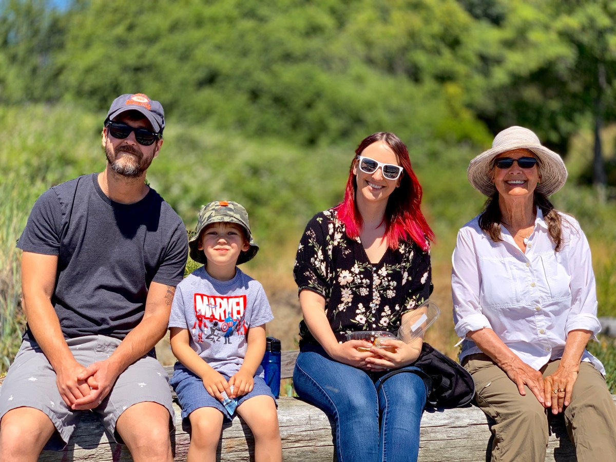
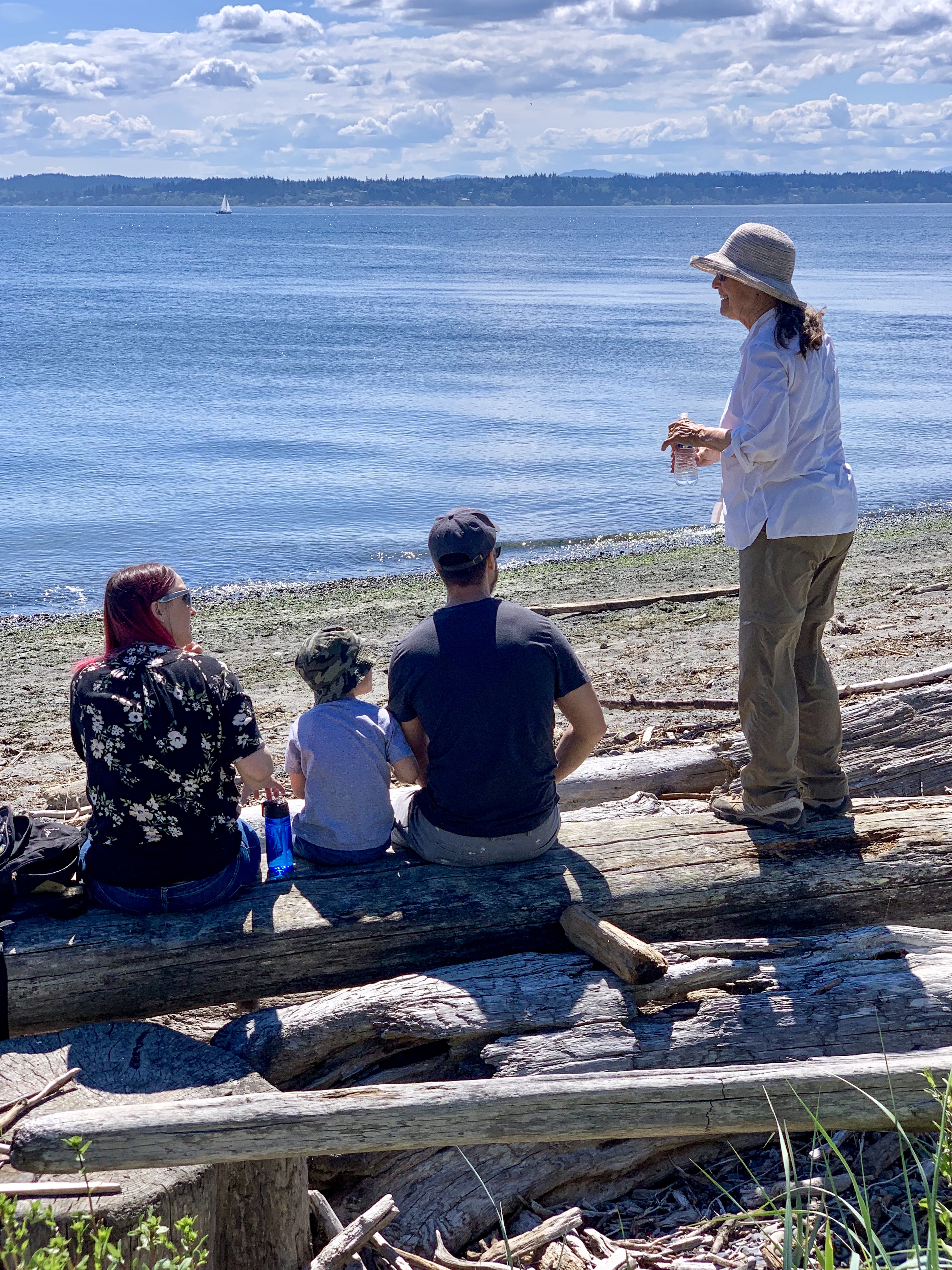
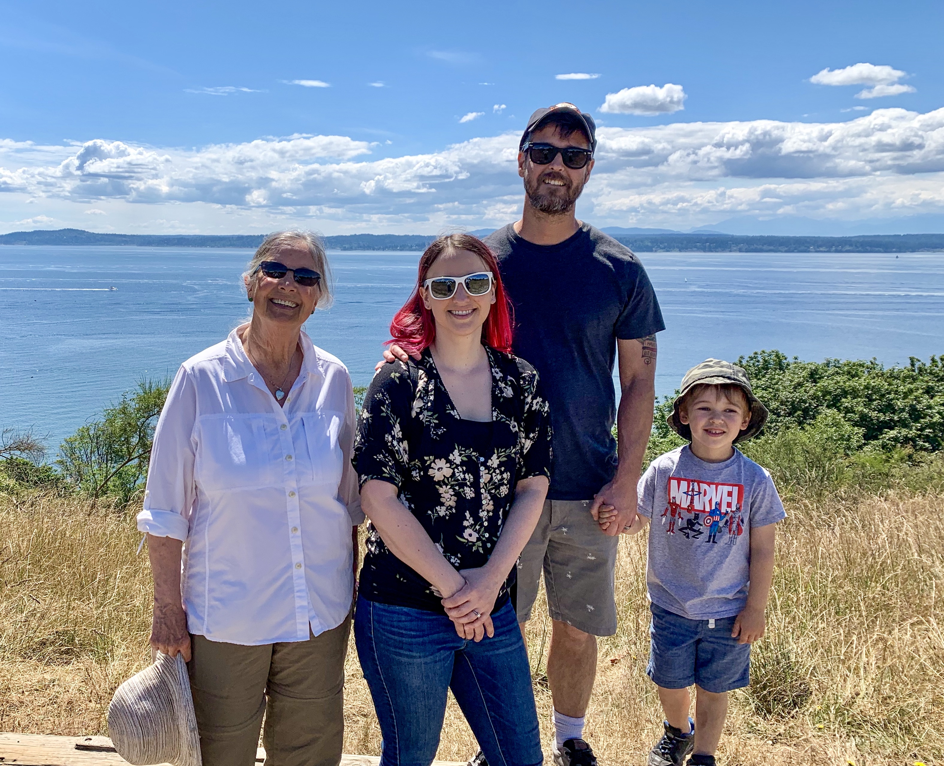
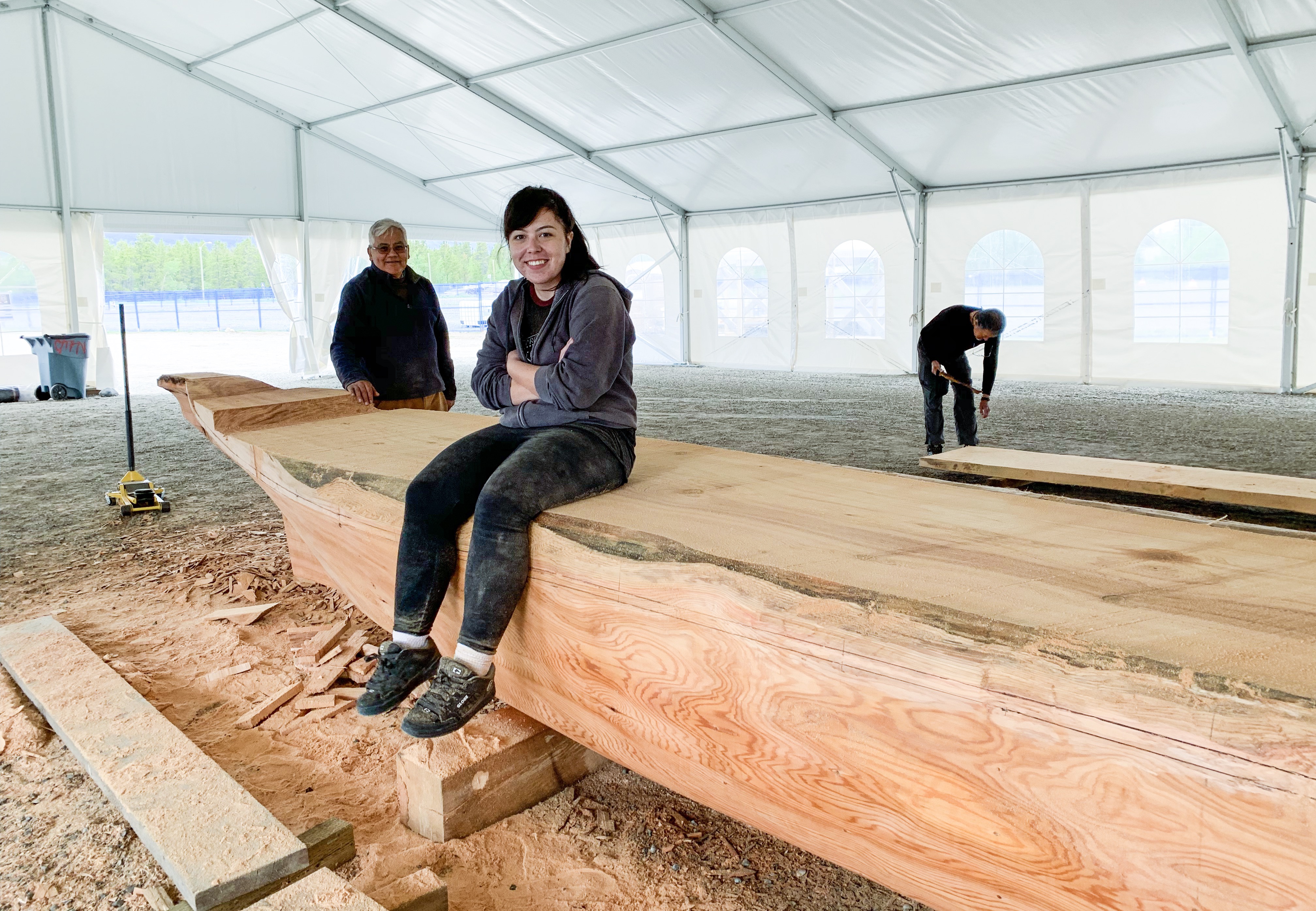
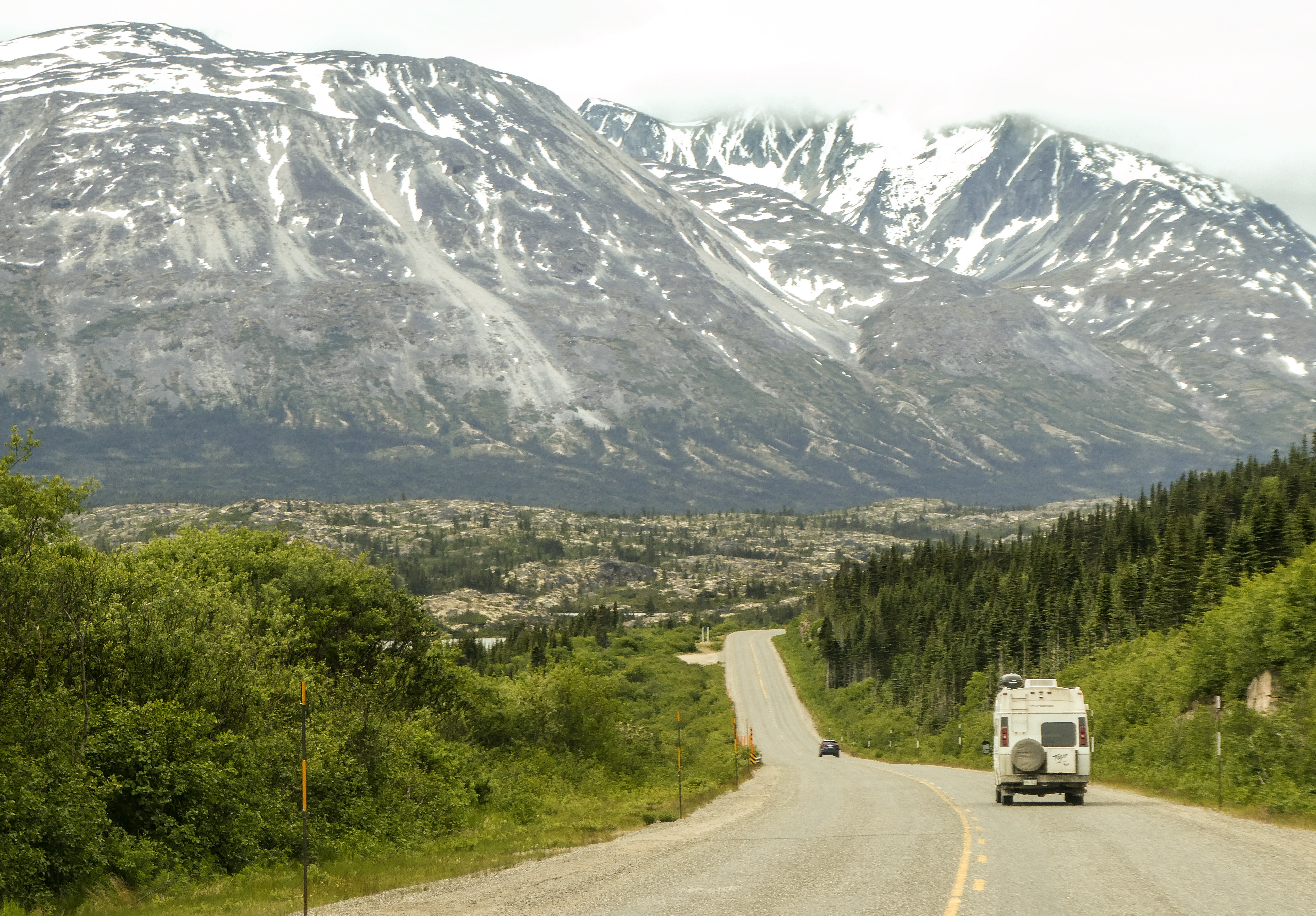
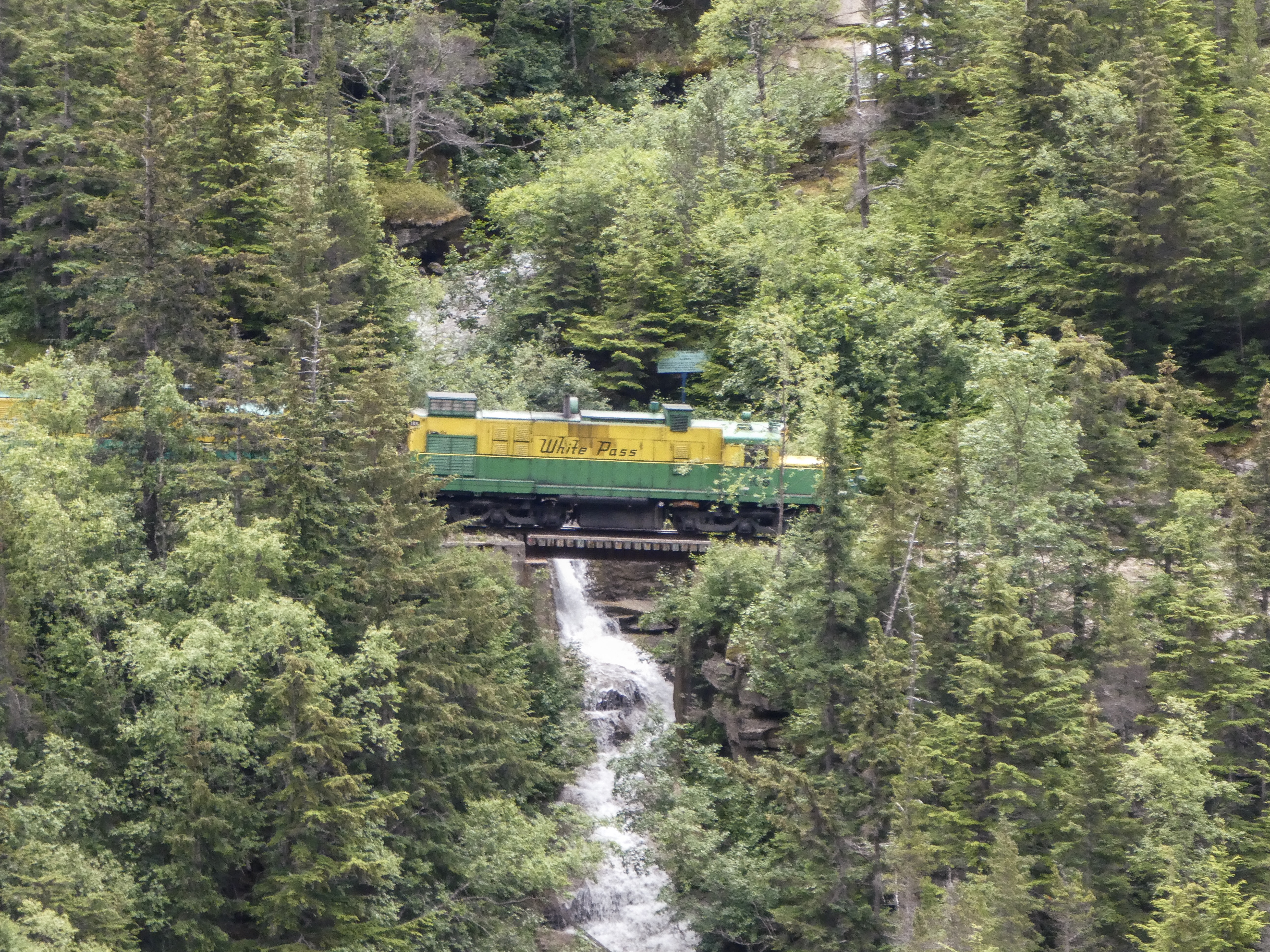
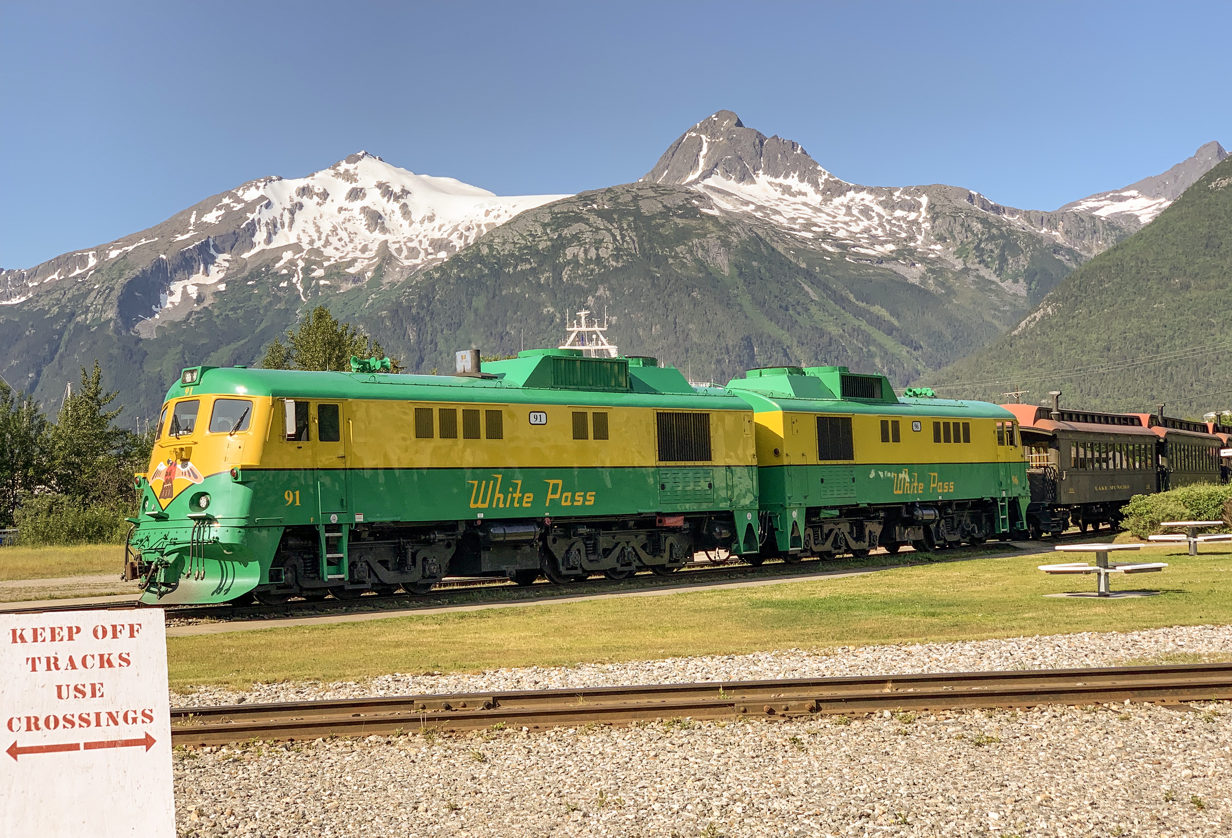
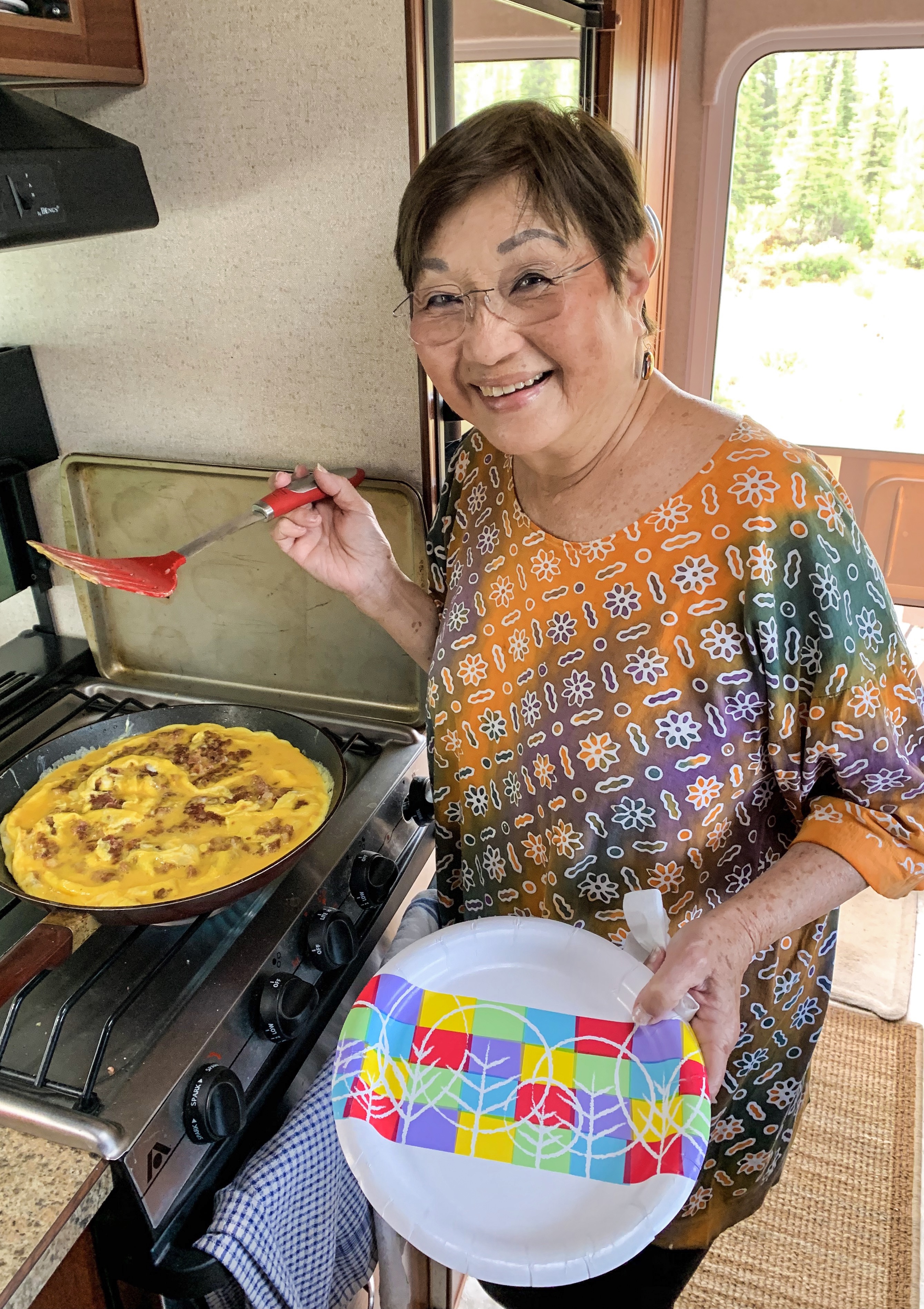
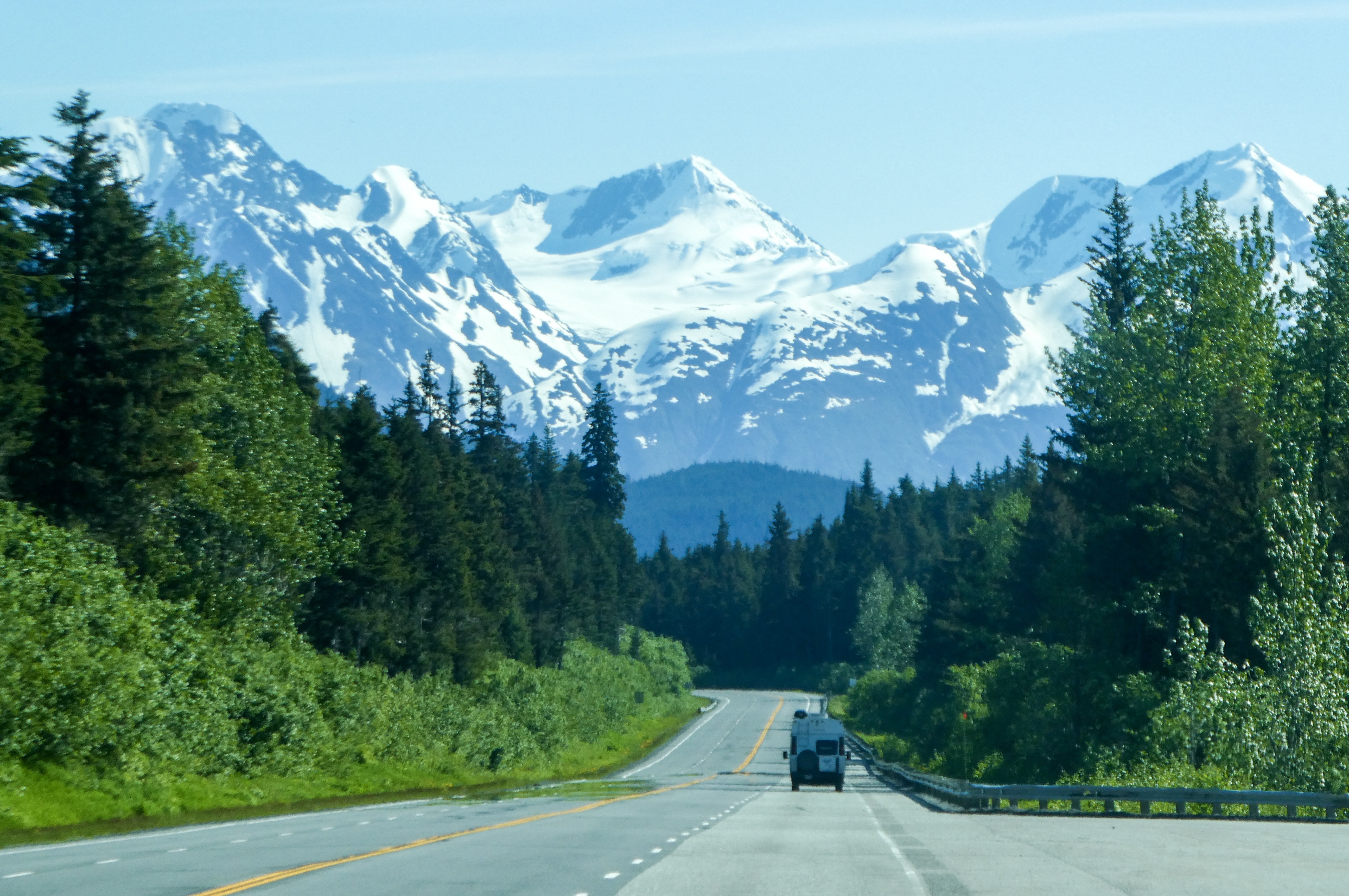
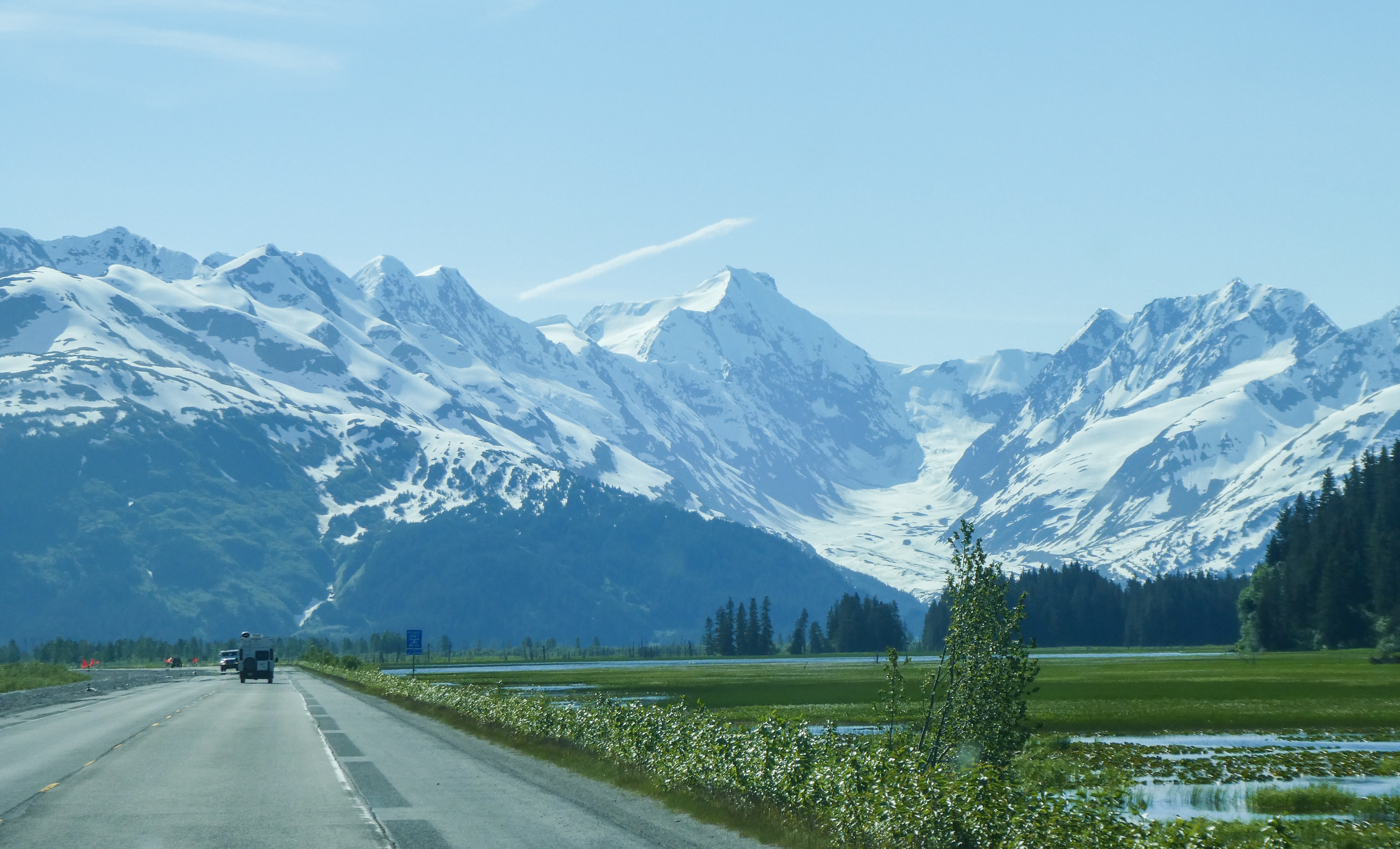
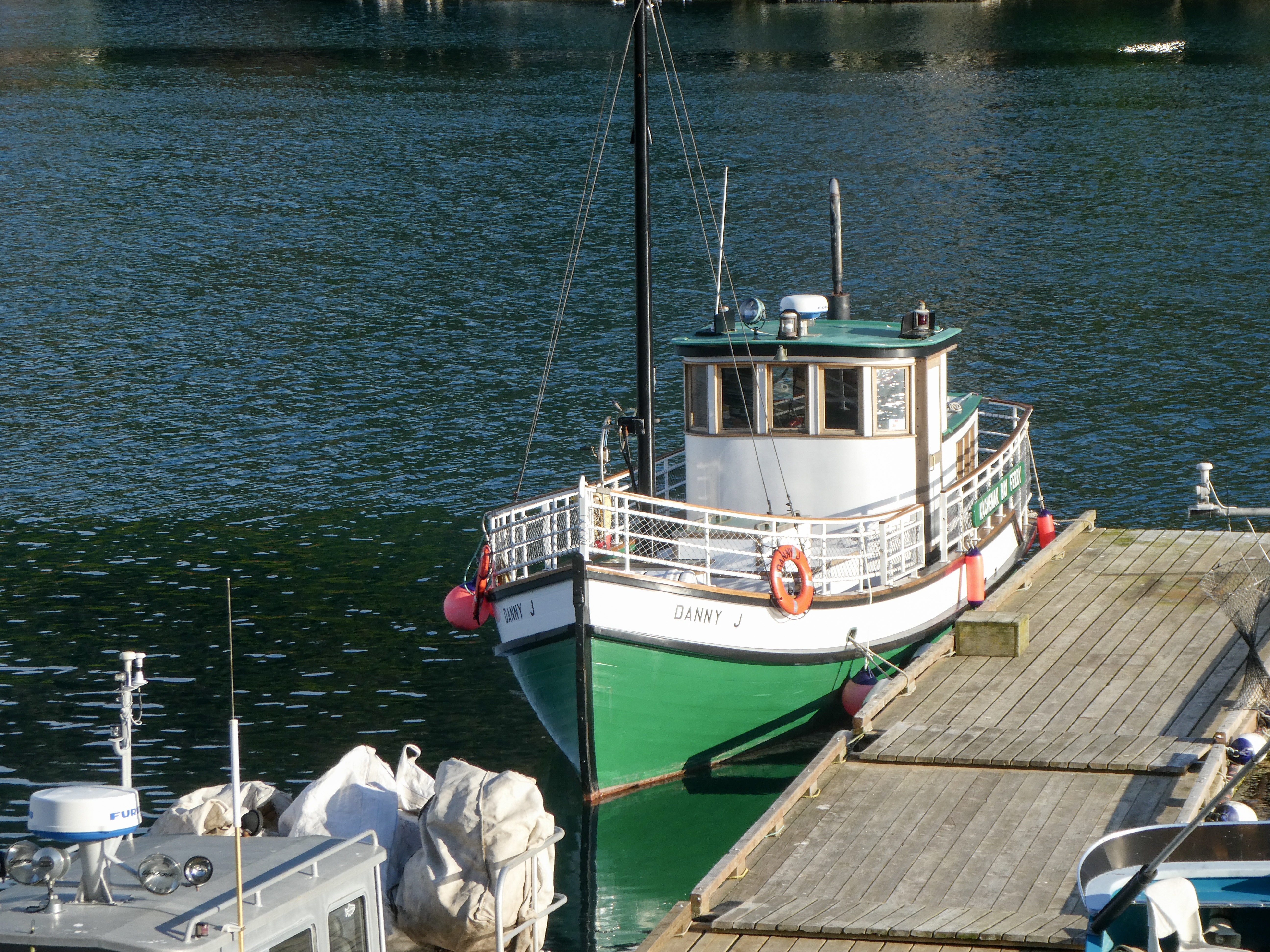
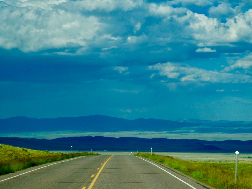
Leaving Sally In Seattle (to stay longer with Drake), I resolved to return home driving small backroads, avoiding interstate highways , taking 8 days or so, for the trip.

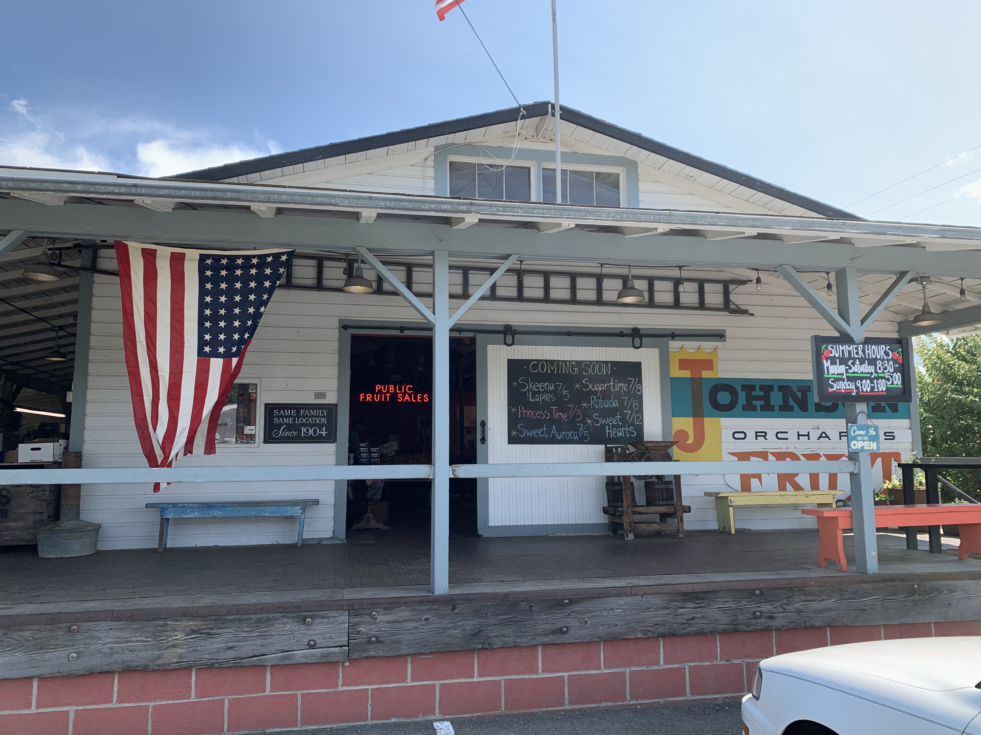
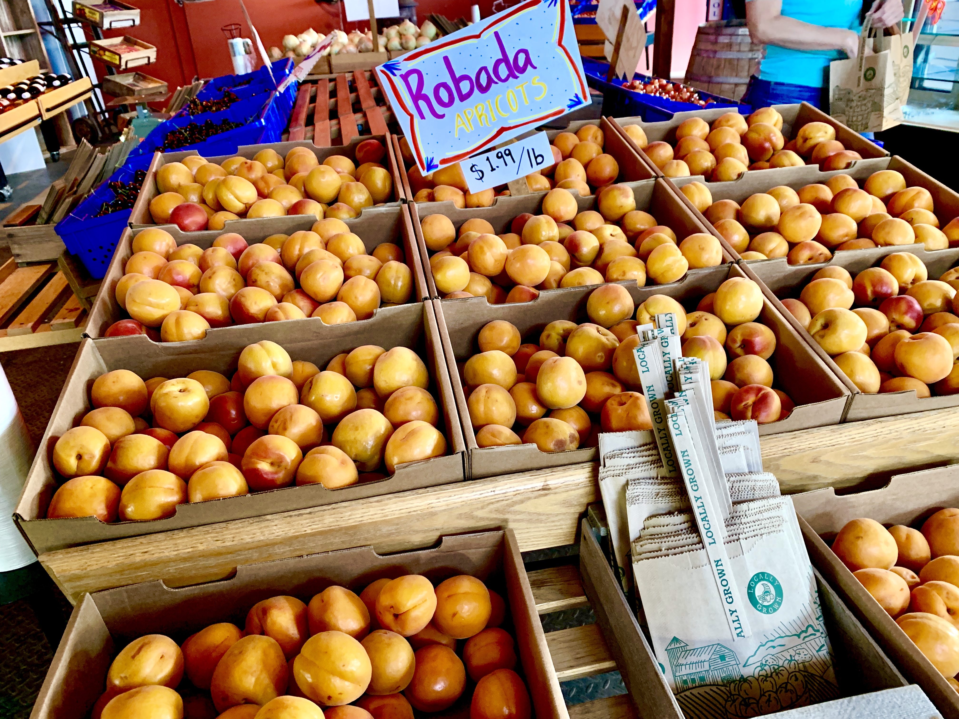
After a rainy drive through Mt Rainier National Park it was critical that I make a supply stop at Johnson Family Orchard, Yakima, Washington to stock up juicy sweet fresh cherries and apricots so I don’t starve.

Not normally a big apricot fan, but these were delicious 🍑
Bing cherries, my favorite! 🍒
Extensive fields of hops east of Yakima 🍺
All alone on 4th of July weekend at Jackson Creek Fish Camp on the Columbia River

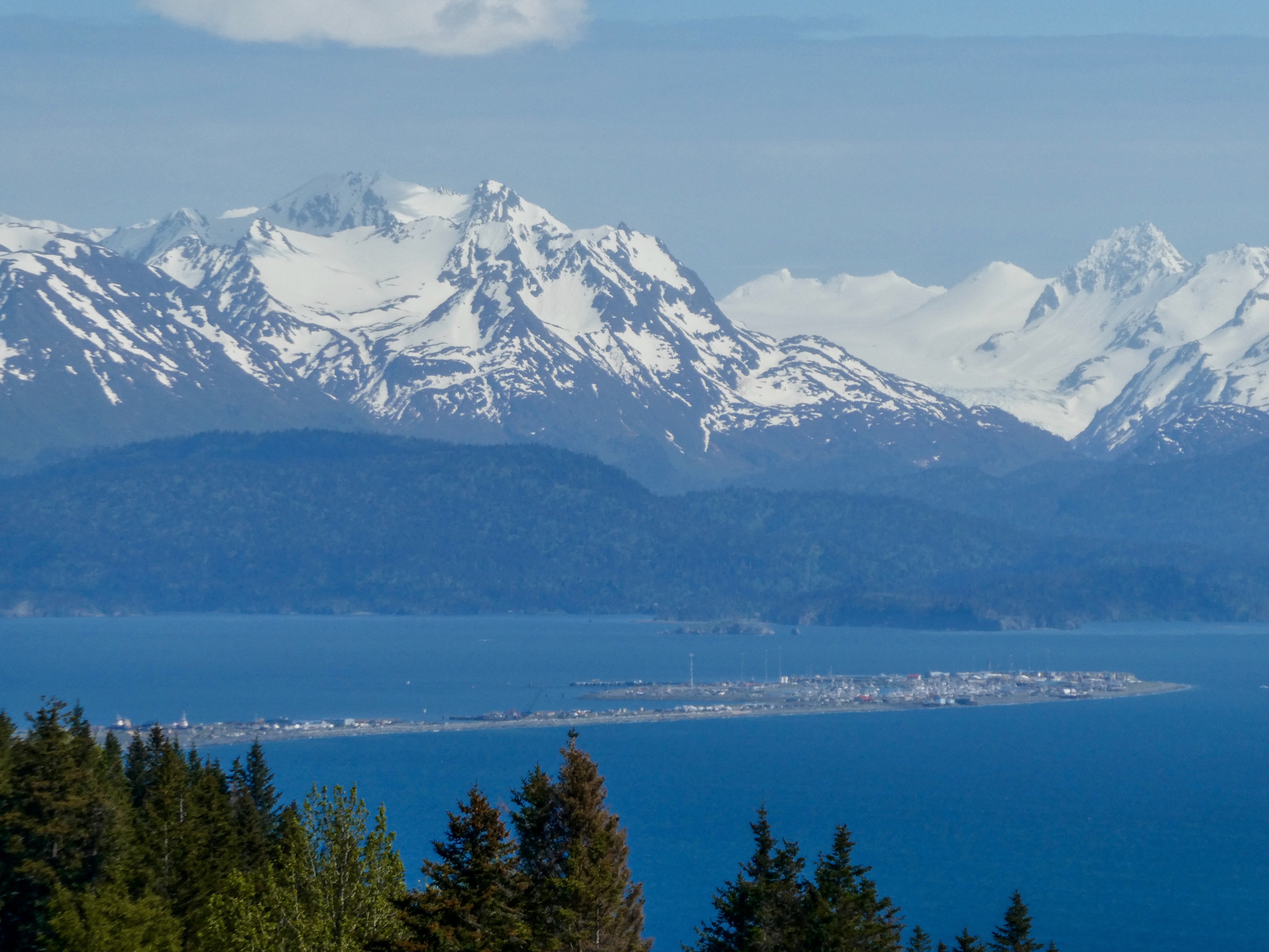
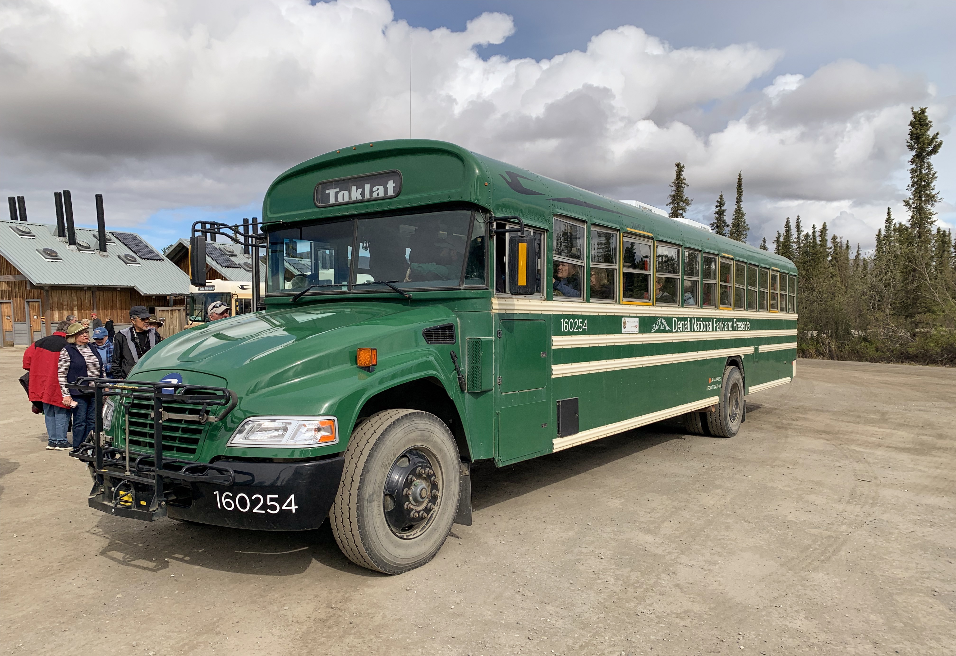
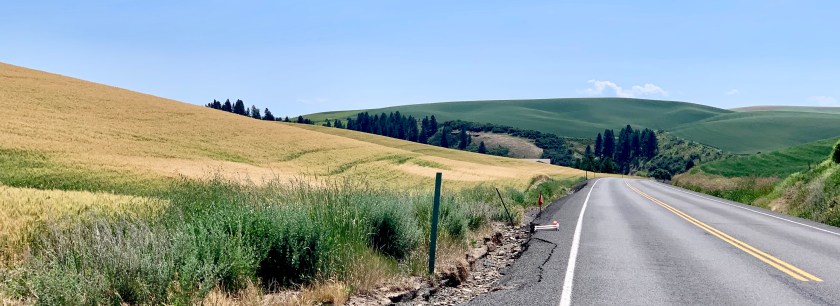
Driving east through the Palouse I followed the Lewis and Clark Trail along the Clearwater River where lots of folks were picnicking and swimming on the sandy beaches along the banks. Great respite as the temperatures were in the mid 90’s. I found the Nez Percé National Historical Park an interesting short stop on my way to my campground in Kamiah on the Nez Percé Reservation. Trees, shade, a swimming pool and showers!

Wheat fields of the Palouse
Storms over the plains on my way to Dillon, MT for a one night stay
Flaming Gorge

Flaming Gorge, Wyoming

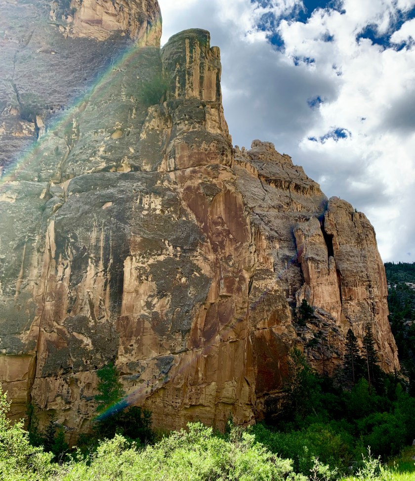
Made of spectacular red canyon walls and arid green forest, the Flaming Gorge National Recreation Area sprawls across the southwest region of Wyoming in Sweetwater County. The area covers 207,363 acres of scenic landscape and wilderness. The area’s most popular destination is the Flaming Gorge Reservoir, measuring 91 miles long. You can also experience the Green River, separated from the reservoir by the towering wall of the Flaming Gorge Dam. Both the reservoir and the river provide a plethora of water activities to choose from.

Wyoming Tourism

FLAMING GORGE, Utah

Deep channels carved into rugged landscapes contain stained-glass waters that capture the play of light, shadow and color of the rising sun. Varying water temperatures through the seasons create unique scenarios for anglers after trophy lake trout and a number of other fish species. Flaming Gorge might be the West’s most spectacular reservoir. It certainly is one of the best fisheries around, with Blue Ribbon-designated angling on both the reservoir and the Green River for several miles beyond the dam. And then there’s the way the sun catches the red canyon walls, the revitalizing aura of the encompassing Ashley National Forest and High Uintas Wilderness, the prolific wildlife and the quaint, hospitable communities.

Flaming Gorge National Recreation area is an all-encompassing outdoor recreation destination. With more than 200,000 acres of land and water, Flaming Gorge is a scenic playground for boating, waterskiing, windsurfing, camping and backpacking in addition to some of the best fishing in the west.

To extend your stay in Flaming Gorge, Utah border towns Manila and Dutch John offer Flaming Gorge lodging. Comfortable rooms, cabins, and campgrounds encircle the area, ranging from handcrafted cabins with onsite recreation near the lake or rustic destinations on Forest Service roads in the nearby Uinta Mountains. Red Canyon Lodge, for example, features luxury log cabin lodging, fine dining, a private lake, horseback riding and more, providing a complete resort experience with those 200,000 acres of recreation standing by. There are also developed campgrounds and dispersed camping on the Ashley National Forest. To combine with Dinosaur National Monument, consider accommodations an hour south of Flaming Gorge in Vernal, Utah.

Local Highlights

Red Canyon Overlook: Beautiful any time of day, many visitors opt to get up early for sunrise to watch the gorge live up to its name as the canyon walls catch the fire of the intense morning light.

Flaming Gorge Dam: A year-round visitor center and summer guided tours unlock the history of the dam and accesses a stunning walk.

Browns Park: From Utes and Shoshone to fur trappers and outlaws like Butch Cassidy and the Sundance Kid, the area has long provided a sheltered retreat, and today is an excellent spot for fly-fishing.

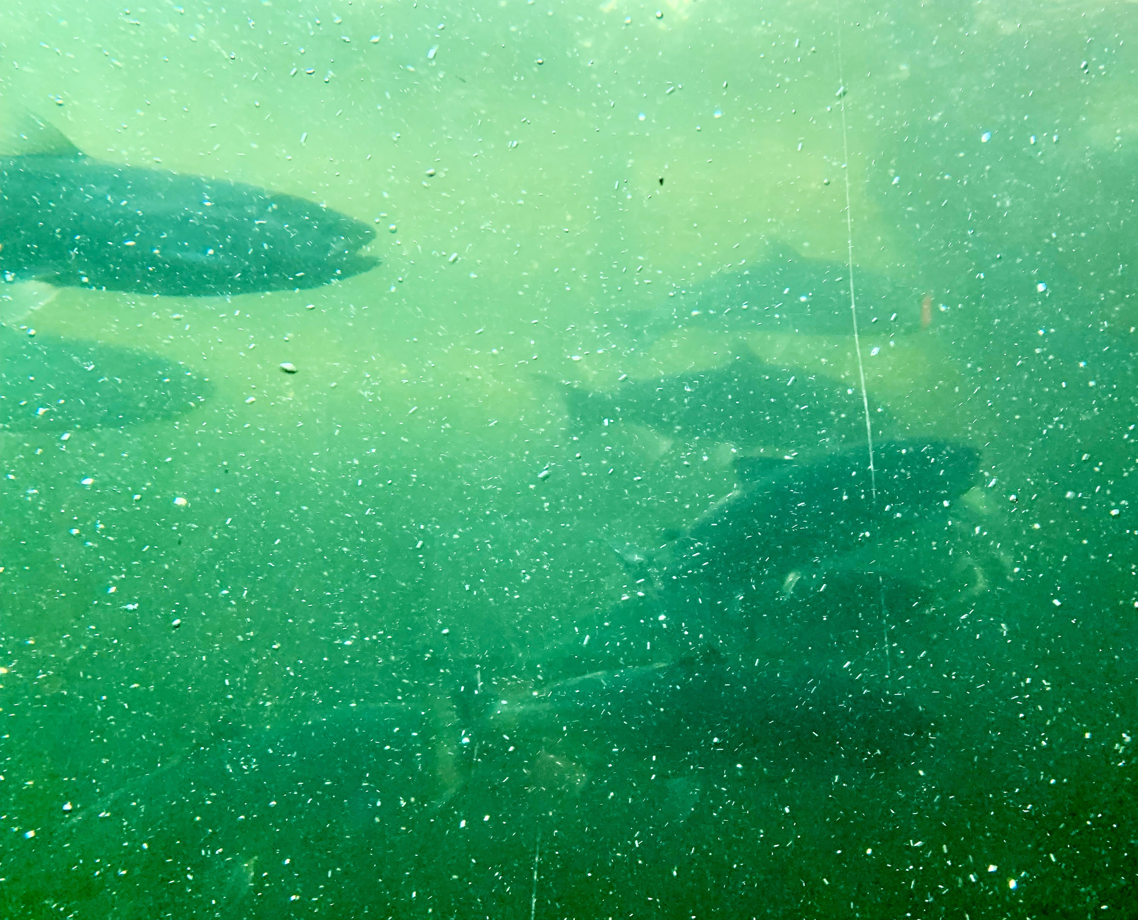
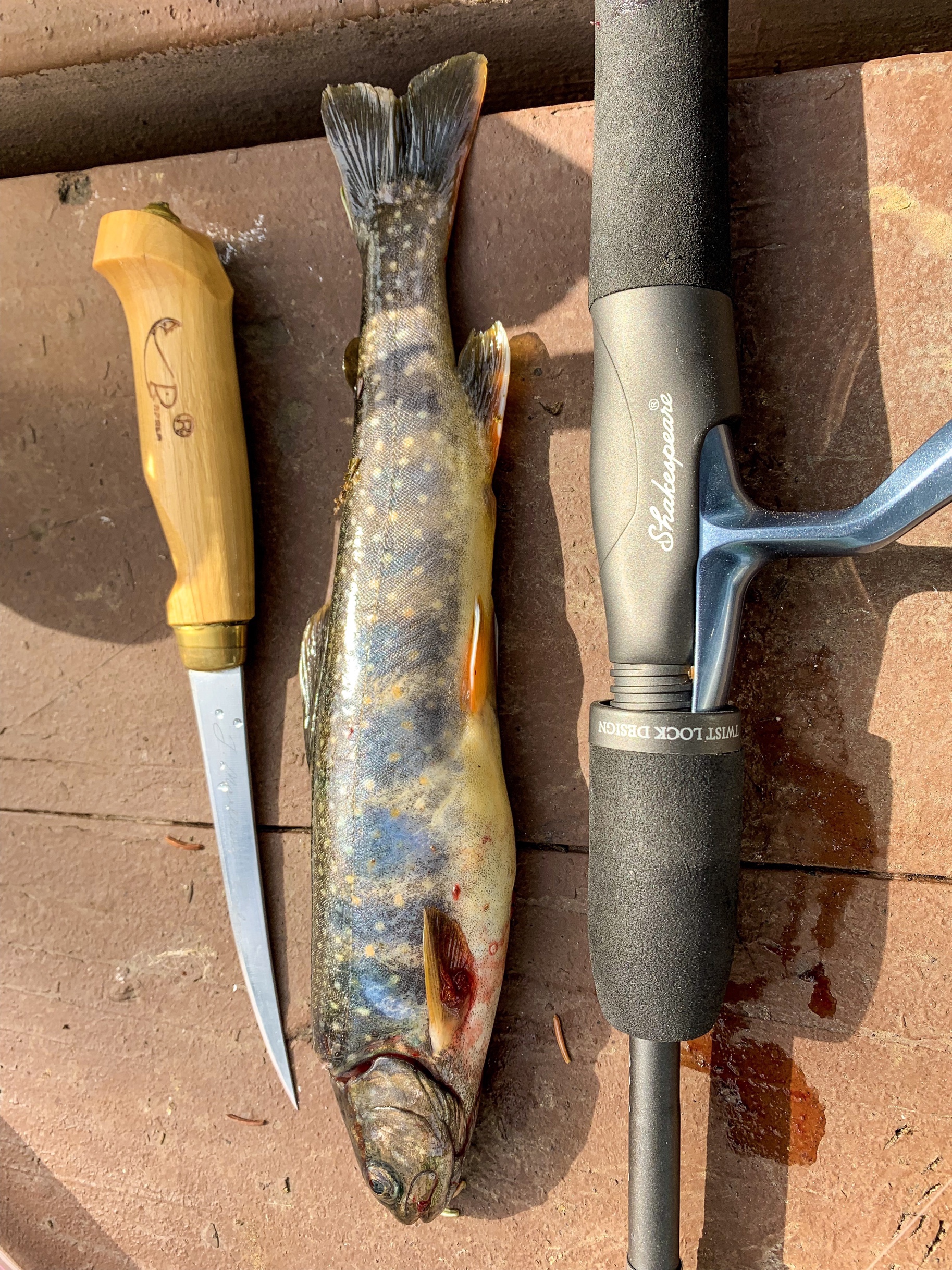
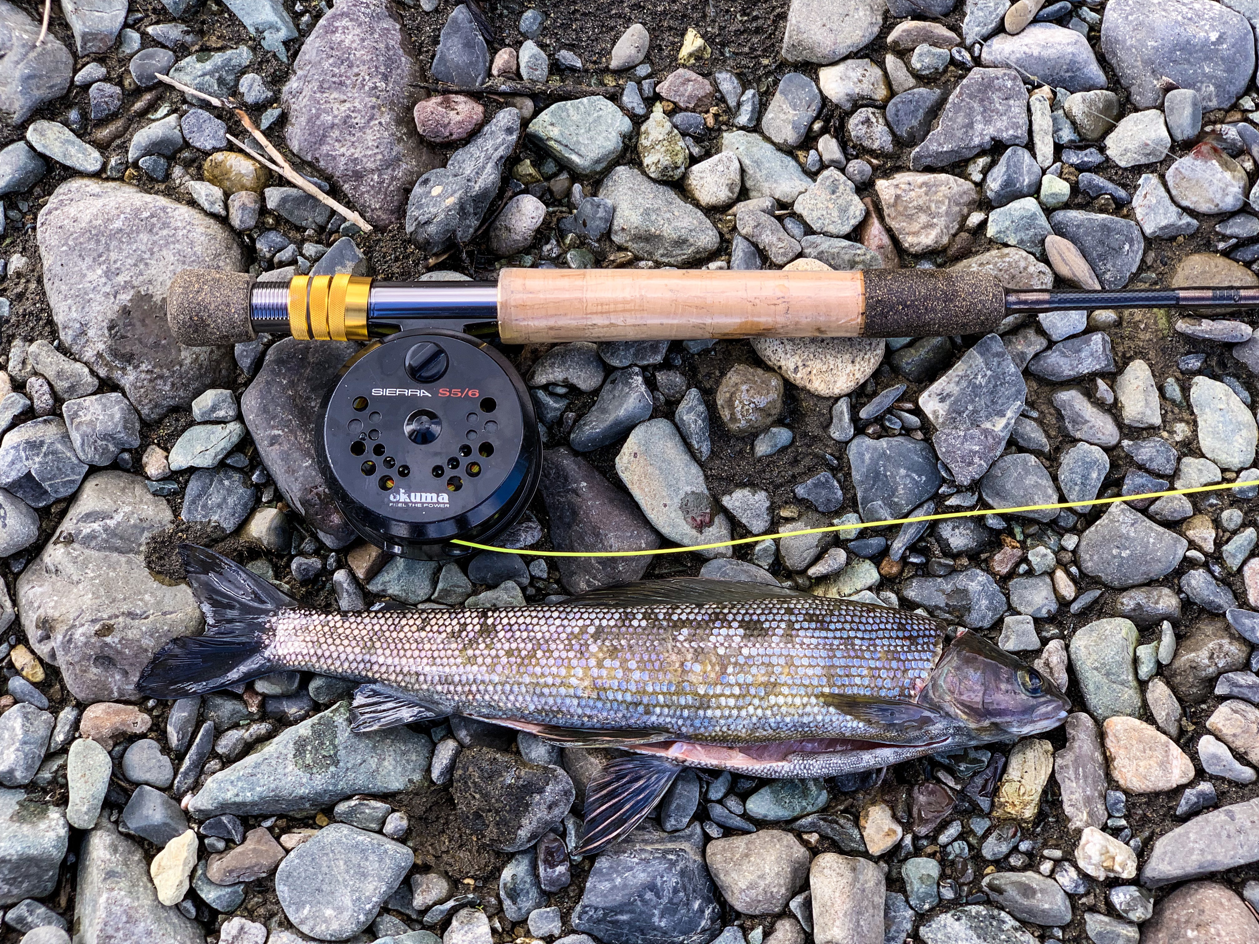
Blue Ribbon-Designated Fishing: On Flaming Gorge, get ready to haul trophy fish aboard, from multiple trout species to bass, carp and Burbot. Below Flaming Gorge dam, the Green River is renowned for its trout fishing and excellent rafting. The brown trout on the Green average 15–17 inches in length but a record brown weighed it at 29 pounds in 1996. Read the Flaming Gorge Fishing Guide.

Dinosaur National Monument: Dinosaur National Monument and the Utah Field House of Natural History in Vernal combine for one of the west’s best dips deep into the region’s prehistory.

Sheep Creek and Spirit Lake Scenic Backways: Two gorgeous routes off the main highway that will guide you through impressive geological features and to the high country of the Uinta Mountains.

Visit Utah

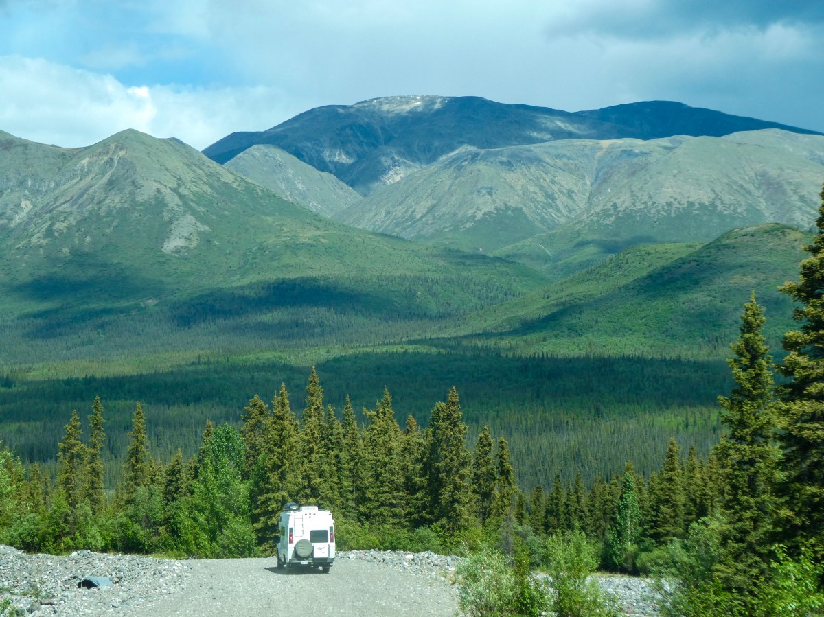
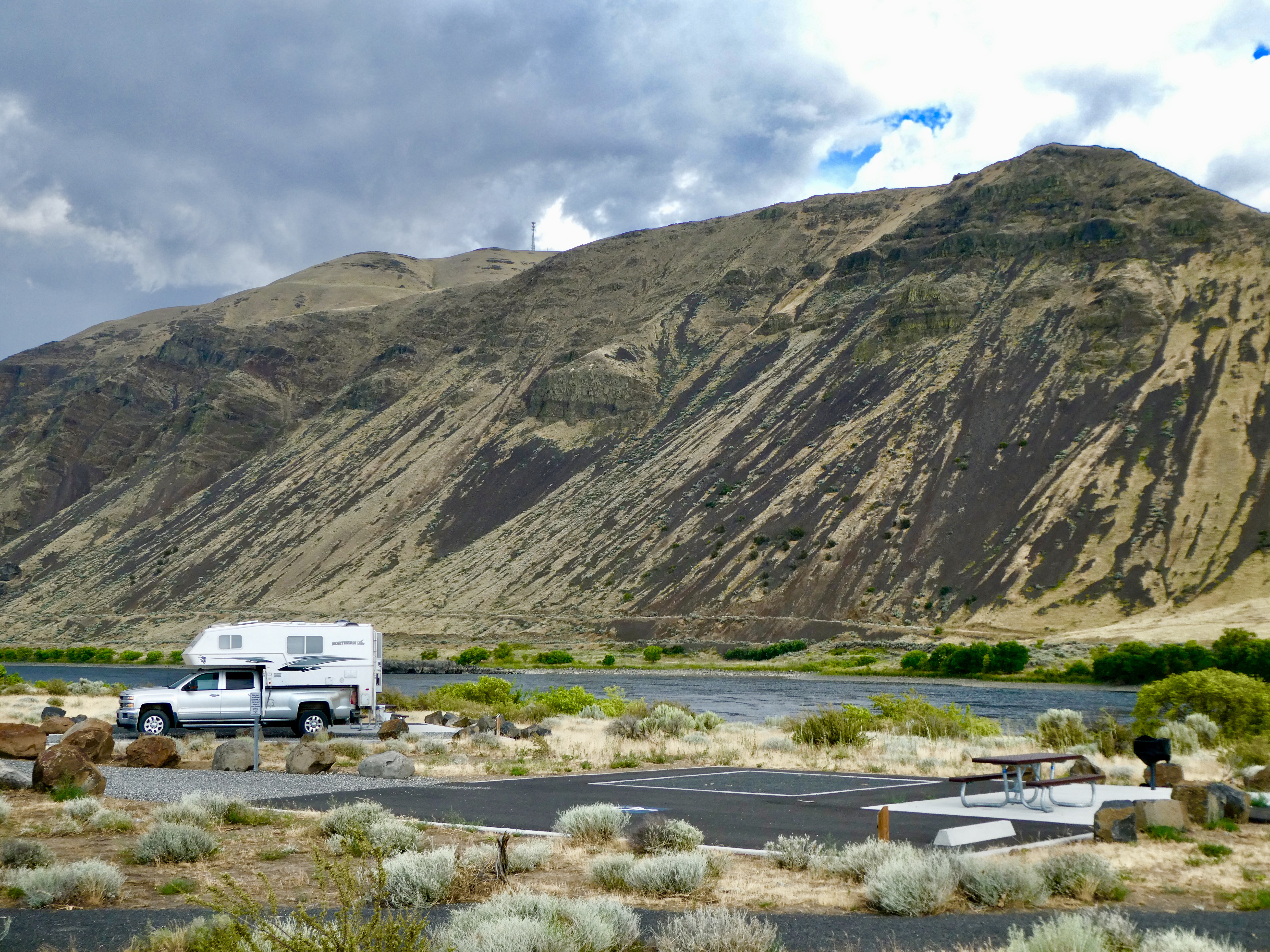
I decided to spend a couple days camping in Manila, Utah near the Flaming Gorge to explore the area more thoroughly. While Sally and I have driven through it in the past, we never spent time poking around. Also, we always drove down the east side of the gorge. This time I decided to take the longer, but more beautiful road down the west side.

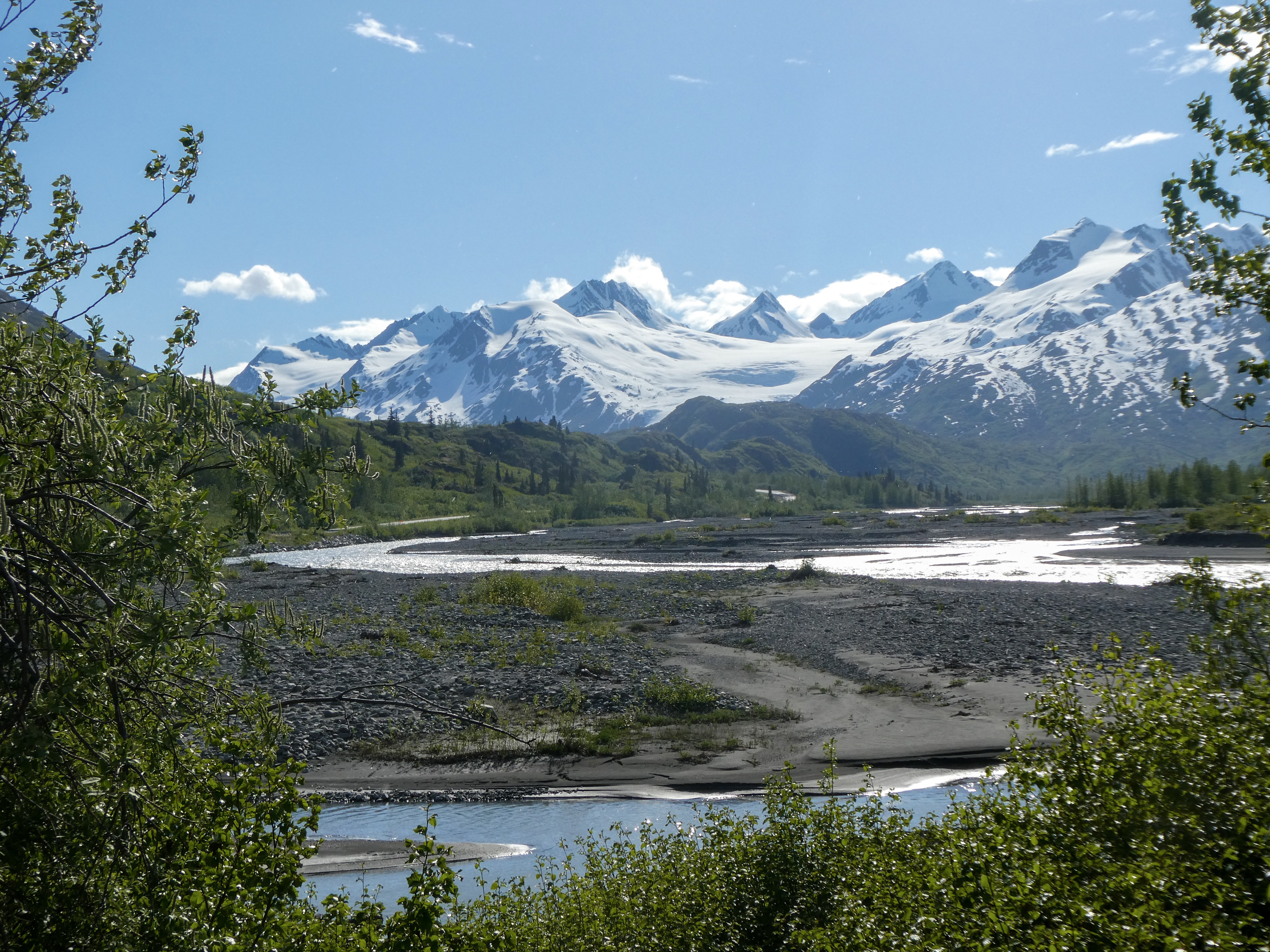
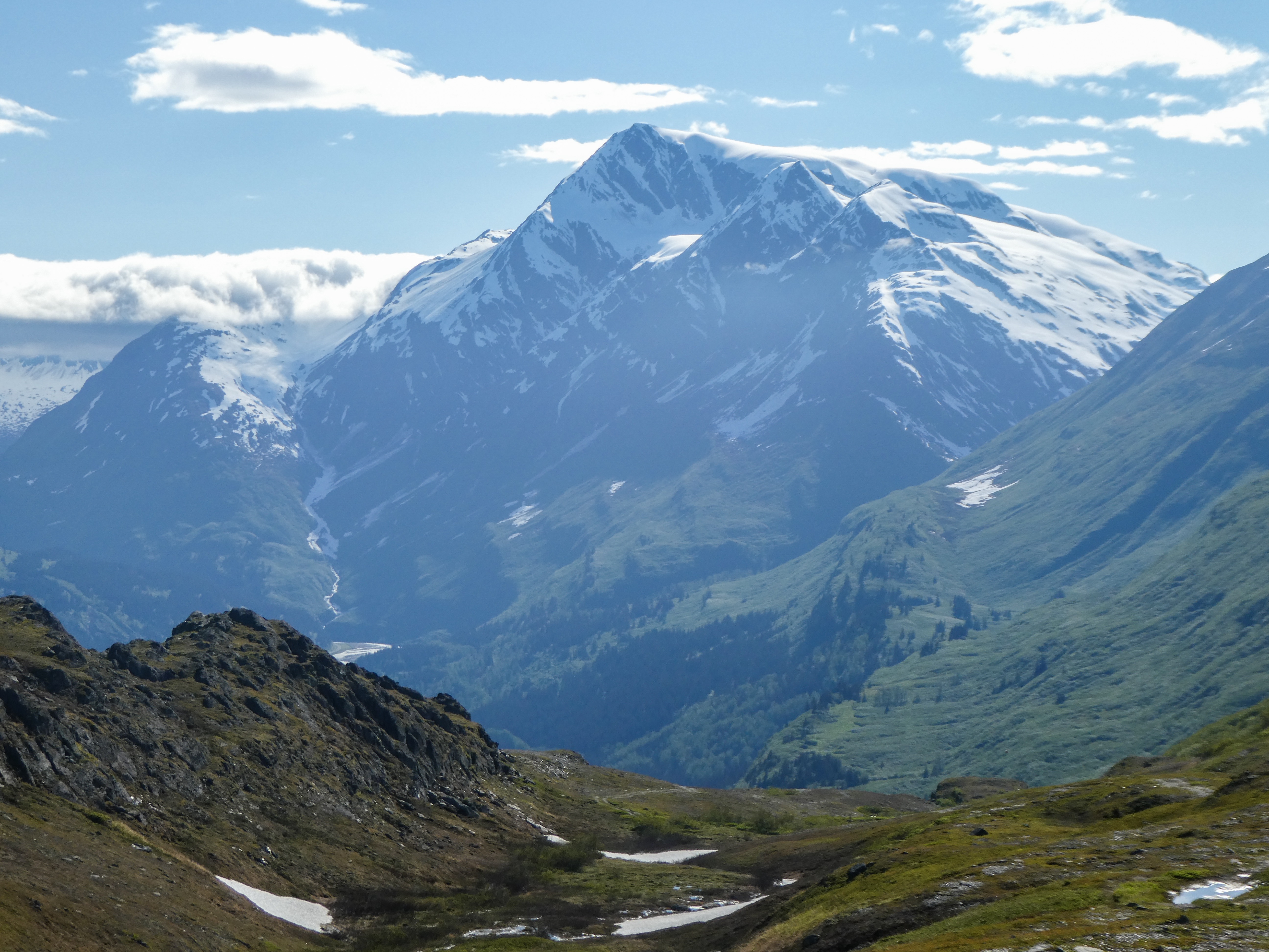
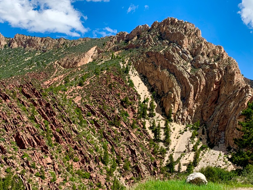
The Uinta Mountain range is a subrange of the Rocky Mountains. The Uinta Mountain range is unusual as this is the highest mountain range in the contiguous United States that runs East to West. North to South is much more common. The other two mountain ranges that run East to West are in Alaska!

Sheep Creek Geological Loop

This route winds through the dramatic geologic formations of the Sheep Creek National Geologic Area. The Uinta Fault, which runs for more than 100 miles along the north slope of the Uinta Mountains, is clearly visible in the extremely twisted rock layers along the upper part of the loop.

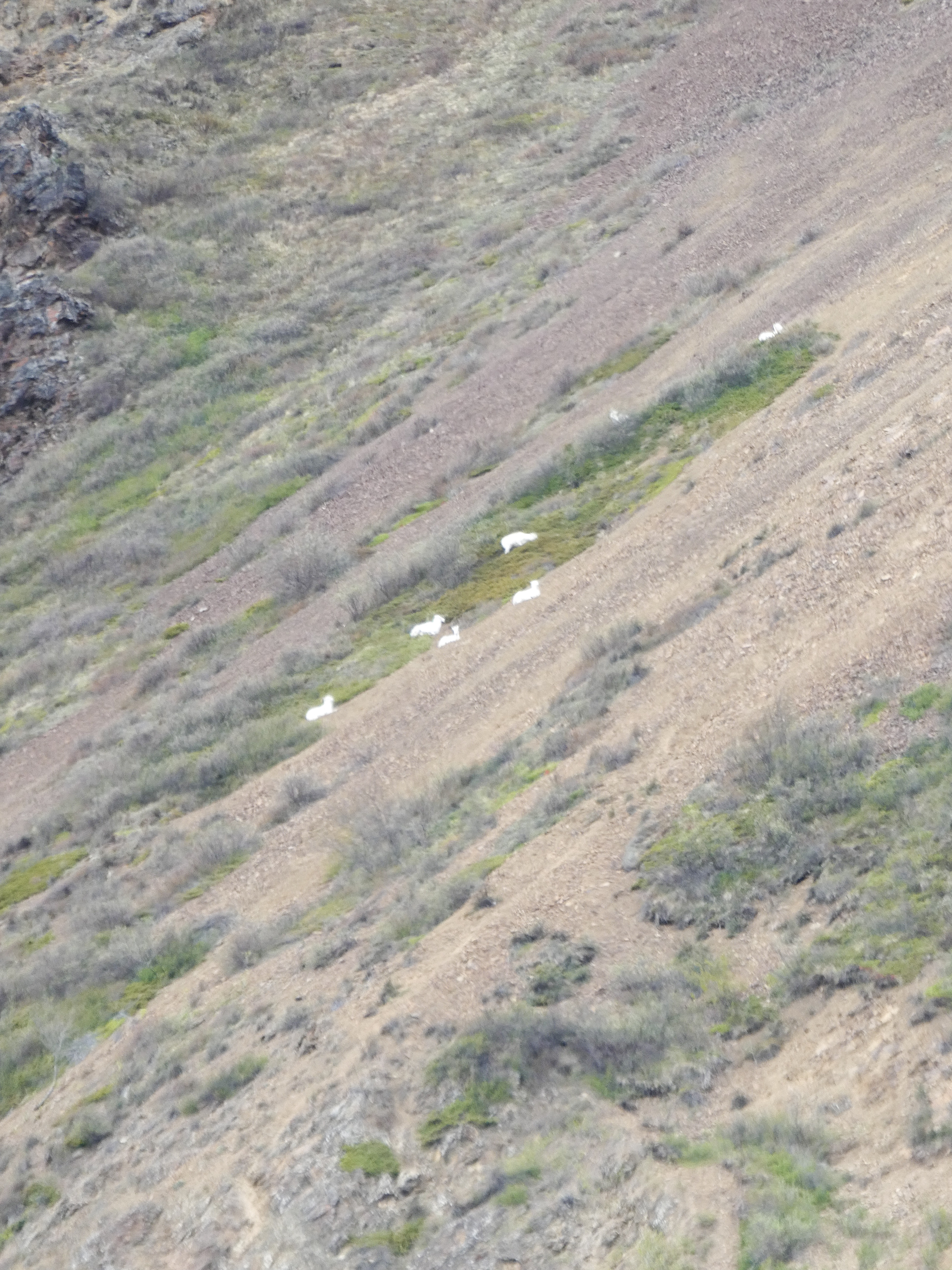
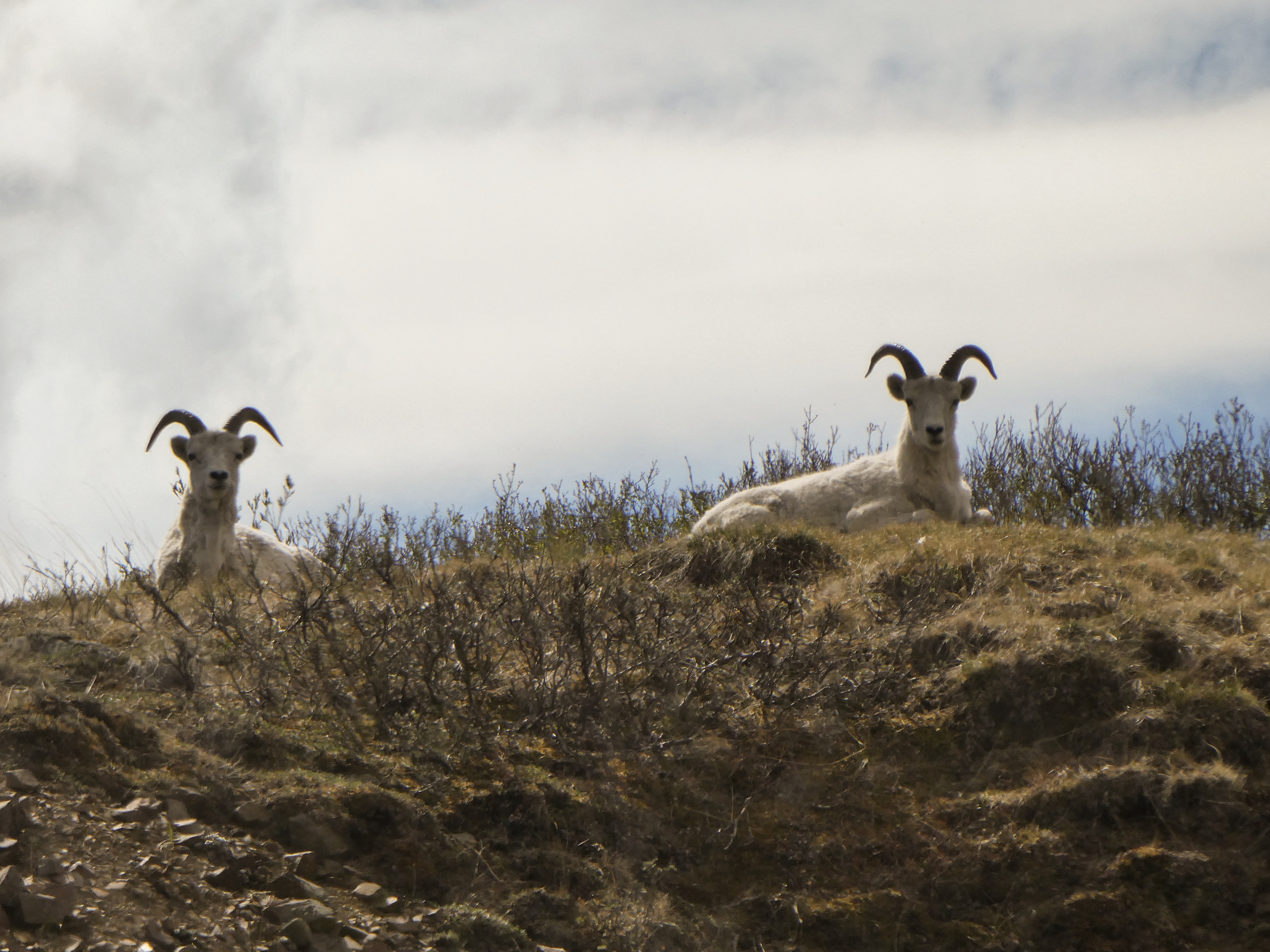
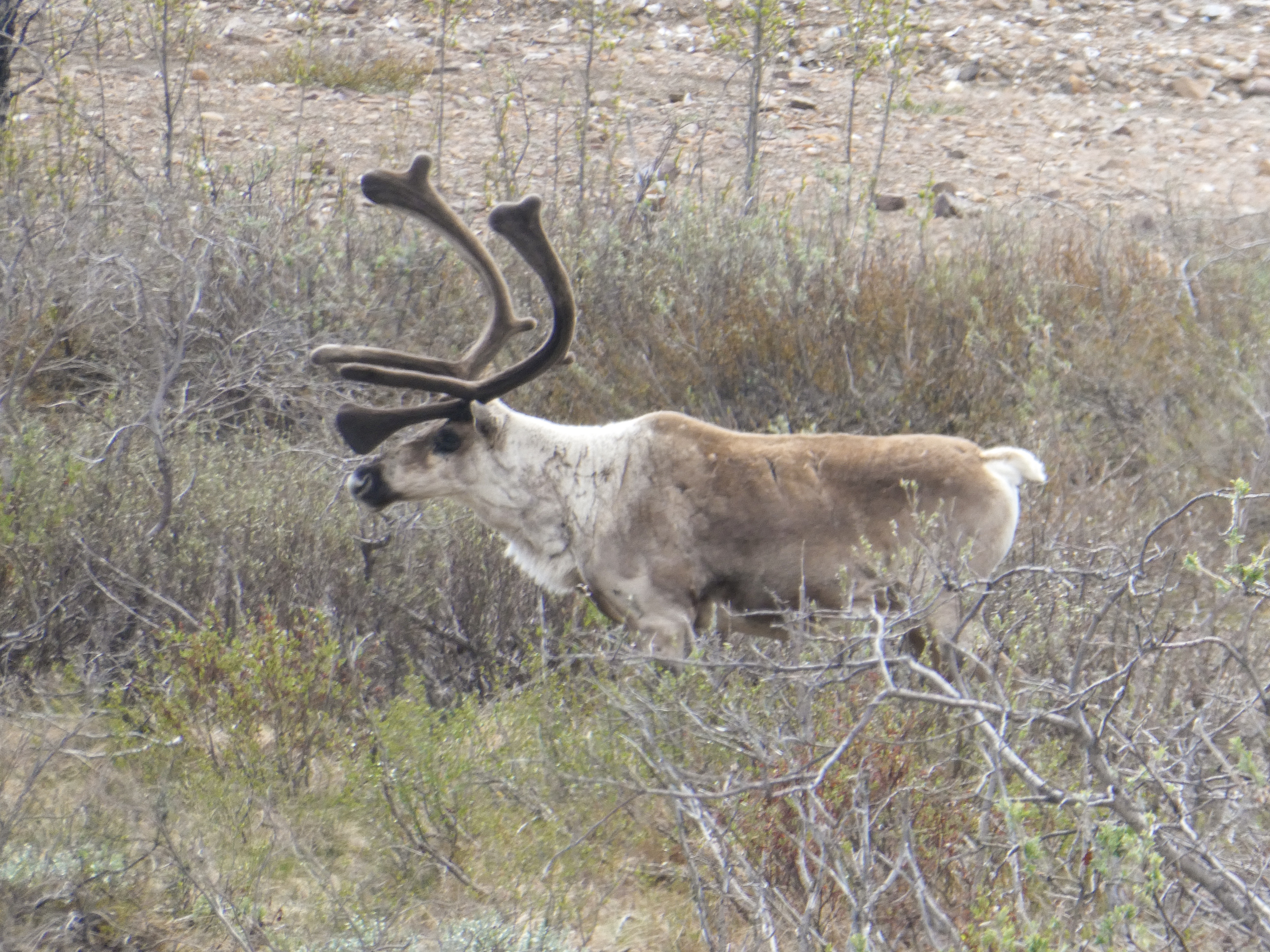
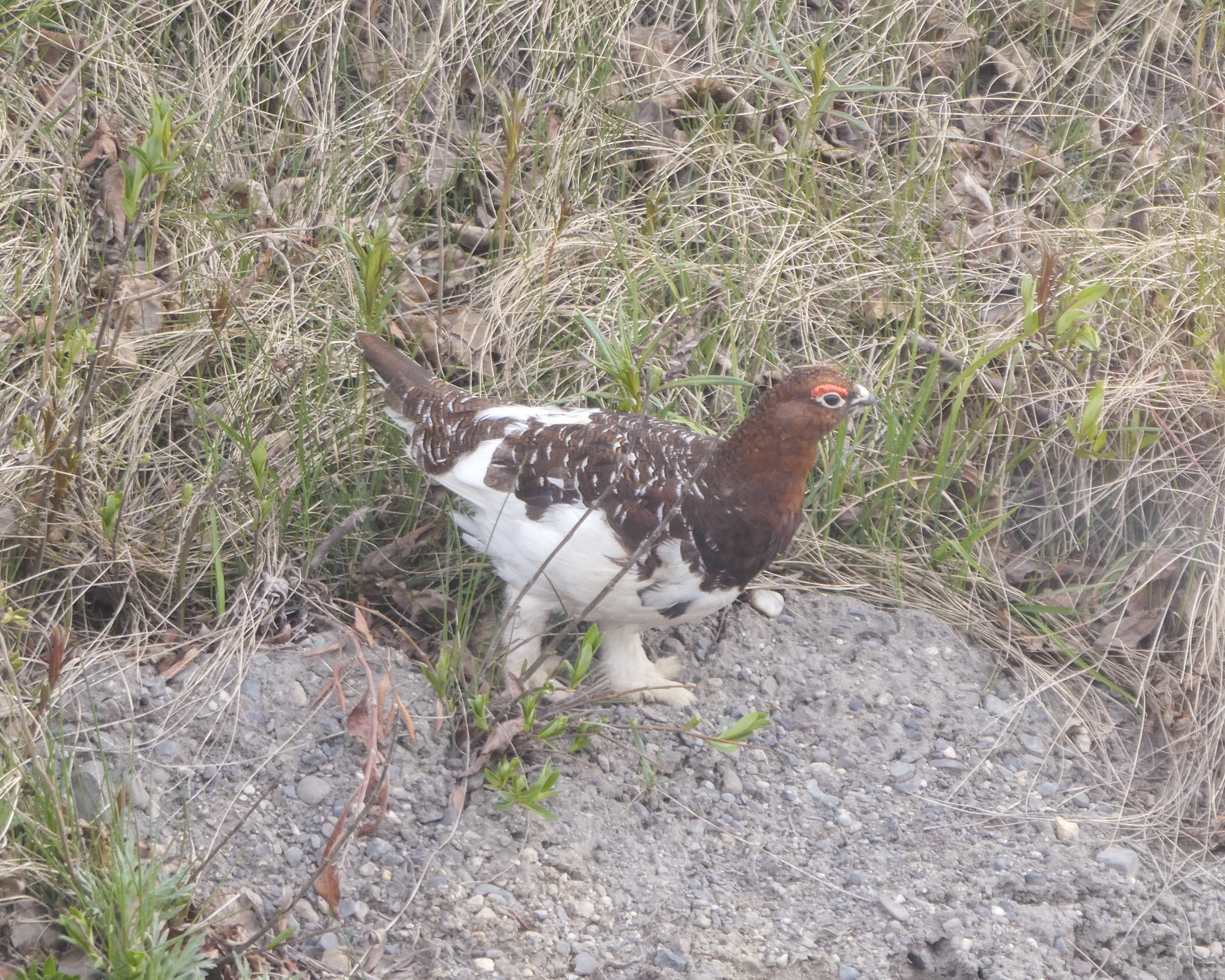
But stunning scenery isn’t the only reason to keep your camera ready on this backway. Expect to catch a glimpse or two of Rocky Mountain bighorn sheep as you wind through Sheep Creek’s awe-inspiring rock spires. This relatively small area is home to an impressive diversity of birds and other wildlife. Sharp eyes will spot the gravesite of the mysterious Cleophus Dowd along the western end of the loop.

Flaming Gorge Country.com
On the Sheep Creek Geological Loop

You can tour earth’s history from your vehicle. You will pass 20 interpretive signs indicating rock formations and fossils they contain. Rocks date Pre-Cambrian to Cretaceous in age representing millions of years of time and transformation. Overlooks, scenic pullouts, visitor centers, and nature trails abound along the way. Pick up a brochure with more information at any of the orientation centers.

USDA Forest Service

The Red canyon Visitor’s Center

This unique Visitor Center is perched high upon the rocky cliffs of Flaming Gorge and offers visitors a commanding view of the vast Red Canyon, carved by the Green River many eons ago. It is open daily from mid-May through mid-September. 
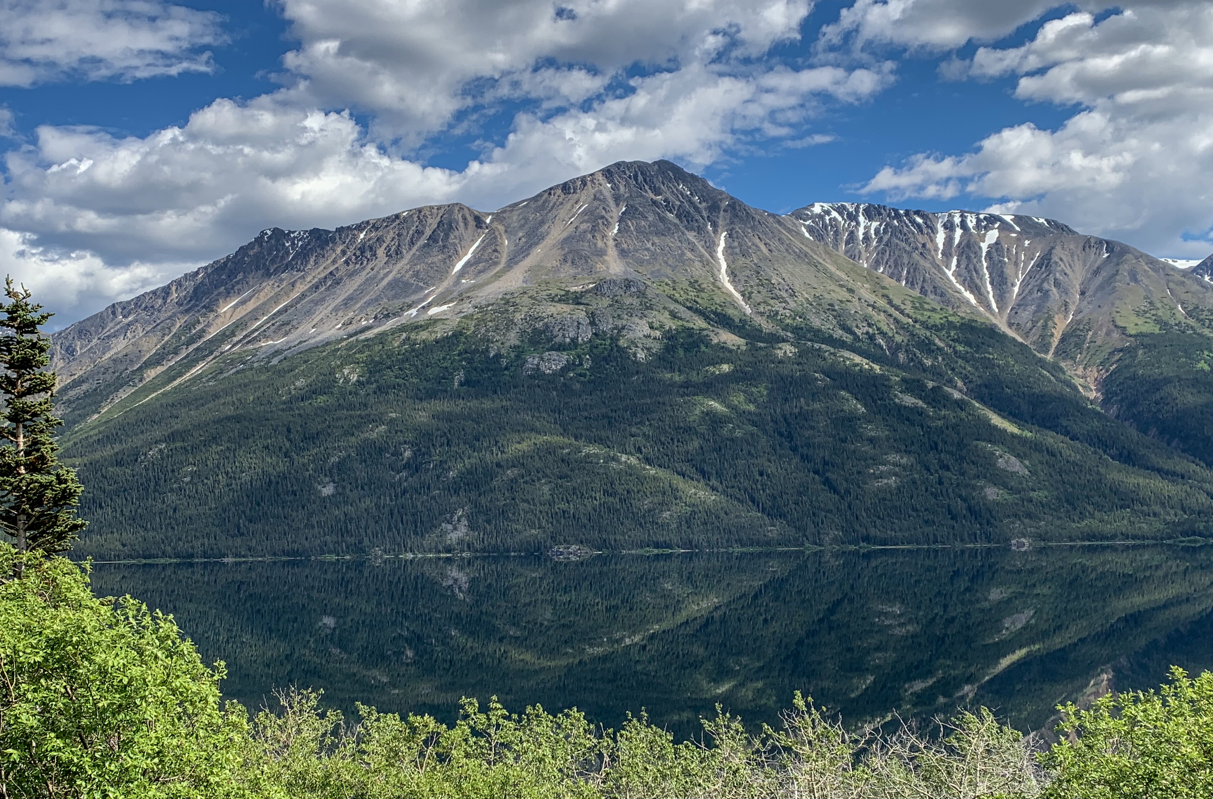
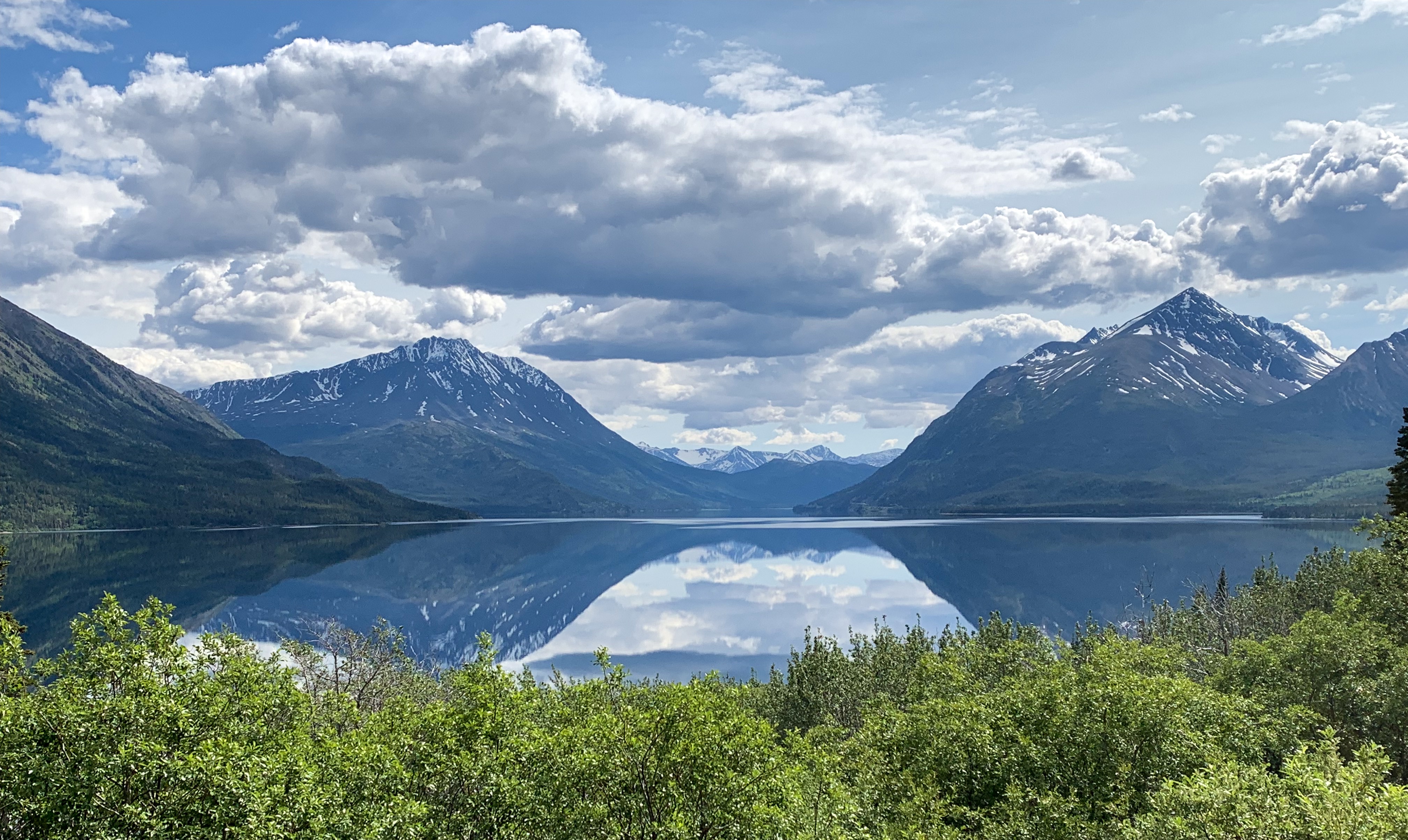
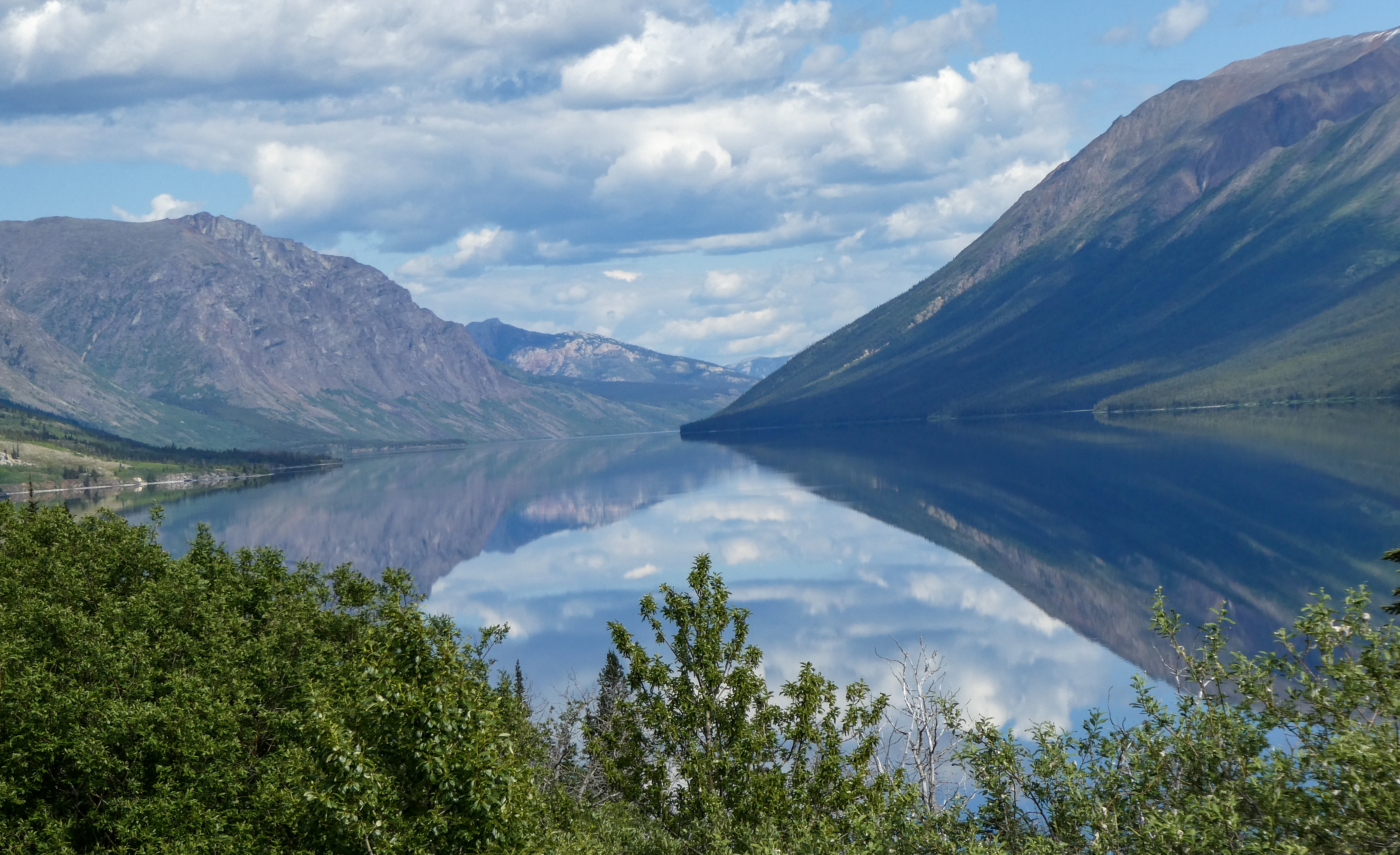
Flaming Gorge
View from the visitor’s center

Deciding that it really was time to get home, I left the following morning and arrived home at 8pm. My little bed felt soooo good!

Trip Stats
  • Time on the road: 2 months
  • Miles Driven: nearly 9,000 miles
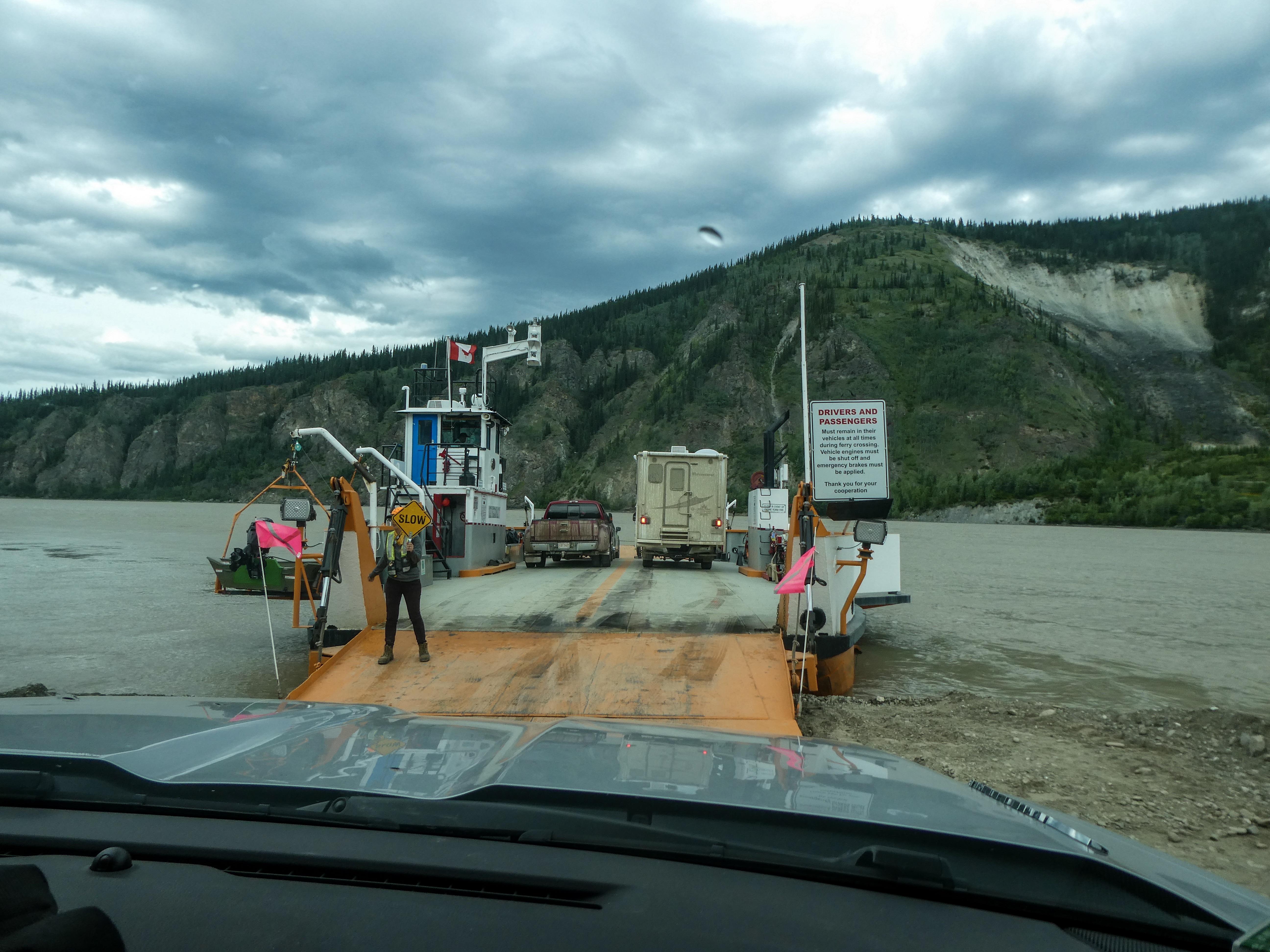
  • Ferry ride: 3 nights, covering approx 1,600 miles we would have driven otherwise
Next Post: “Best of Alaska” Summary

Family Time in Bothell, Washington

Touring the Seattle area

Discovery Park Hike to South Beach Then Touring Ballard locks and Fish Ladder

Discovery Park

Discovery Park is a 534-acre (2.16 km2) park on the shores of Puget Sound in the Magnolia neighborhood of Seattle, Washington. It is the city’s largest public park and contains 11.81 miles (19.01 km) of walking trails. United Indians of All Tribes’ Daybreak Star Cultural Center is within the park’s boundaries. A lighthouse is located on West Point, the westernmost point of the park and the entire city of Seattle. The Discovery Park Loop Trail, designated a National Recreation Trail in 1975, runs 2.8 miles (4.5 km) through the park, connecting to other trails.

The park is built on the historic grounds of Fort Lawton; most of the Fort Lawton Historic District (FLHD) falls within the park (although an enclave within the district remains in military hands), as does the West Point Lighthouse. Both the FLHD and the lighthouse are on the National Register of Historic Places.

Ballard locks

Officially known as the Hiram M. Chittenden Locks, the Ballard Locks is one of Seattle’s most popular tourist attractions, especially during the sunny months. The grounds also feature a fish ladder and the Carl S. English Jr. Botanical Garden — one of the most beautiful park settings in Seattle.

Completed in 1917, the locks link the Puget Sound with Lake Union and Lake Washington. (Aerial photo from U.S. Army Corps of Engineers).

Boats as large as 760 feet in length and as small as a kayak can travel through the locks. Once in the lock, the water level drops as much as 26 feet to bring the boats even with Puget Sound. The fresh water is exchanged with salt water.

Ten to fifteen minutes after the process began, the boats are on their way. During busy times, though, long lines of boats form on either side of the locks.

Through a system of swinging walkways, visitors can watch the action up close. Runners and byclists frequently use the locks as a way to cross the ship canal between Ballard and Magnolia.

The locks are also a critical link for salmon and steelhead heading upstream to spawn. A fish ladder with 21 steps or “weirs” allows spawning fish to climb to the freshwater side. Young fish, or “smolts” then return down through the locks out to Puget Sound.

A viewing area allows visitors to watch one of the last “weirs” before the spawning fish head into freshwater.

Wikipedia
A Day Trip to Lovely Snohomish

The Klondike Highway: Dawson City To Skagway

We are beginning to have slightly shorter days as we begin the homeward arc.

In Eagle, Alaska and Dawson City, Yukon, there was only 2 hours between sunset and sunrise and the “night” was was just a bit dusky with no stars visible. In fact we have not seen stars for a month!

“The Klondike Highway links the Alaskan coastal town of Skagway to Yukon’s Dawson City. Its route somewhat parallels the route used by prospectors in the 1898 Klondike Gold Rush.

Sally and I crossing the Stewart River which flows into the Yukon a bit further south
Ray supervises as I grill pork chops at our camp at Pelly Crossing, Yukon
Sally enjoying the long dusk on the Yukon River
Emerald Lake, Yukon. The lovely colors are due to a particular kind of clay deposited in the lake bottom.
Ray photographs one of many black bear we saw on our trip. Sadly (or possibly fortunately) we never saw a grizzly

We stopped at the Tage Cho Hudan Interpretive Centre In Carmacks, YT showcasing the past and present culture of the Northern Tutchone people and viewed a traditional canoe being made.

A master carver is beginning to carve a cedar canoe in the traditional way. For this project, he has taken on a female apprentice who has recently studied canoe building and returned home. To procure a log of the required size, he needed to get a log from Prince Edward Island, all the way from Eastern Canada.

He explained that he had been an alcoholic, but after pursuing a vision quest he was told to quit alcohol and to begin building healing canoes. Chips people write name healing burnt healing ceremony Help addiction

Master and student
Old canoe carving adzes
The master carver stated that most work is completed by hand, other than initial rough shaping.
Ray and Shirley on their way into Skagway

Skagway

Skagway, in southeast Alaska, set along the popular cruise route the Inside Passage. It’s home to gold-rush-era buildings, now preserved as part of the Klondike Gold Rush National Historical Park. The White Pass & Yukon Route Railroad runs vintage locomotives past the famously steep Chilkoot trail and offers sweeping mountain views during its climb toward Canada.

In 1896, before the Klondike gold rush had begun, a group of investors saw an opportunity for a railroad over that route. It was not until May 1898 that the White Pass and Yukon Route began laying narrow gauge railroad tracks in Skagway. 

The population of the general area increased enormously and reached 30,000, composed largely of American prospectors. Some realized how difficult the trek ahead would be en route to the gold fields, and chose to stay behind to supply goods and services to miners. Within weeks, stores, saloons, and offices lined the muddy streets of Skagway. The population was estimated at 8,000 residents during the spring of 1898 with approximately 1,000 prospective miners passing through town each week. By June 1898, with a population between 8,000 and 10,000, Skagway was the largest city in Alaska.

The prospectors’ journey began for many when they climbed the mountains over the White Pass above Skagway and onward across the Canada–US border to Bennett Lake, or one of its neighboring lakes, where they built barges and floated down the Yukon River to the gold fields around Dawson City. 

By 1899, the stream of gold-seekers had diminished and Skagway’s economy began to collapse. By 1900, when the railroad was completed, the gold rush was nearly over.

Wikipedia

These days, Skagway is home to numbers of cruise ships and other tourists. The drive in is gorgeous, but the city itself is largely one giant gift shop. However, but the ladies were quite interested on a ride on the White Pass and Yukon Route Scenic Railway, which was a quite lovely and fun way to explore the Klondiker’s route to the pass.

Skagway City: Ray and I found lovely benches

The White Pass and Yukon Route Scenic Railway: gorgeous views

Beautiful reflections near our campsites at Teslin Lake Provincial Park

Next Post: The Cassiar Highway and the best deep fried halibut in Alaska!

Dawson City, Yukon, Canada

The locals described winter in Dawson City as nearly perpetual darkness relieved by a couple hours of twilight. After a few winters, they feel they have no more to prove and many head to tropical climes for a month or so to bask in the sun. In summer, people get up early and work late to take advantage of the long daylight.

When asked way they stay, given the solar extremes, they mention the sense of community, safety and close friendships formed in the small town. Everyone participates in volunteer activities to benefit the community, and friends check up on each other if they haven’t seen each other for a while to ensure they are safe.

My text below is taken primarily from GQ Magazine and a few other online sources:

“Strange things done in the midnight sun, reads the first line of William Service’s famous Yukon poem; it’s an apt slogan for Dawson City, Canada. A far-flung place unlike any other, the endless summer daylight shines upon wide, dusty streets, sunken buildings, and the constant churn of the Yukon River.

Our campers, coated in mud after the Top of the World Highway
The view out our camper window
A fellow traveler with an even thicker mud jacket
A ferry takes automobile traffic across the Yukon River to Dawson City

Dawson City sits alone on the river’s banks, a mere 150 miles south of the Arctic Circle, in the Yukon Territory: an expansive, wild, non-state of otherworldly terrain. Getting there is not a simple task. Some arrive by raft, canoe, or kayak, others in the growling throng of a motorcycle club or the purr of a winnebago; slightly less intrepid travelers may take a five hour bus ride or small plane from Whitehorse. It’s a trek, certainly, and to a gold rush town of less than 1,500.

“Kissing buildings” built incorrectly on the permafrost causing them to lean

So why on earth would anyone go to this place that is, in the most direct sense of the phrase, located in the middle of nowhere? Well, perhaps you are someone who feels nostalgia for some place you’ve never been.

Maybe you really need to get the hell away, and you don’t want any sort of packaged, highly Instagrammable vacation to help you do it. If so, consider the derelict beauty of Dawson City. It’s strange, the summers bring endless daylight, and there are women who can-can. Taverns that never close. Taverns that never open.

A tavern restored by Parks Canada and ranger interpreter in period dress

Ultimately, the unlikeliness of the Dawson City, its subtle and grand strangeness, comes from wandering around and letting Dawson City happen to you. Forget about the time. If you go during the warm months (you should), you can just sort of let the constant daylight work its confounding magic. Take a walk on the boardwalk that follows the Yukon. Wander the backstreets of the town, through the little cabins. Follow a wooded trail up to the overlook. Have a drink or two, dip in and out of the dark saloons into dizzying sunlight and get a little midday buzz. Or maybe it’s midnight. You might not be able to tell, and that’s the whole point.

Parks Canada also restored the old music hall
After a period/ historical performance by Parks Canada Interpreters. Shirley, Sally and I were judges in the “Best Klondiker” contest.

In prehistoric times the area was used for agriculture by the Hän-speaking people of the Tr’ondëk Hwëch’in and their forebears. The heart of their homeland was Tr’ochëk, a fishing camp at the confluence of the Klondike River and Yukon River, now a National Historic Site of Canada, just across the Klondike River from modern Dawson City. This site was also an important summer gathering spot and a base for moose-hunting on the Klondike Valley.

The current settlement was founded by Joseph Ladue and named in January 1897 after noted Canadian geologist George M. Dawson, who had explored and mapped the region in 1887. It served as Yukon’s capital from the territory’s founding in 1898 until 1952, when the seat was moved to Whitehorse.

Dawson City was the centre of the Klondike Gold Rush. It began in 1896 and changed the First Nations camp into a thriving city of 40,000 by 1898. By 1899, the gold rush had ended and the town’s population plummeted as all but 8,000 people left. When Dawson was incorporated as a city in 1902, the population was under 5,000.

The City of Dawson and the nearby ghost town of Forty Mile are featured prominently in the novels and short stories of American author Jack London, including The Call of the Wild. London lived in the Dawson area from October 1897 to June 1898. Other writers who lived in and wrote of Dawson City include Pierre Berton and the poet Robert Service.”

Prime rib night at Dawson’s best restaurant accompanied by delicious seafood chowder topped with halibut

Next Post: The Klondike Highway and Skagway

Chicken and Eagle Alaska

“Chicken is a community founded on gold mining and is one of the few surviving gold rush towns in Alaska. The population was 7 at the time of the 2010 Census, down from 17 in 2000. However, usually year round, there are 17 inhabitants. Due to mining, Chicken’s population peaks during the summer. It has frequently been noted on lists of unusual place names.

Chicken was settled by gold miners in the late 19th-century and in 1902 the local post office was established requiring a community name. Due to the prevalence of ptarmigan in the area that name was suggested as the official name for the new community. However, the spelling could not be agreed on and Chicken was used to avoid embarrassment. “

The Chicken Annual Music Festival was happening in Chicken, otherwise not much to see other than Chicken jokes and costumes

“Between Chicken and Eagle, the Taylor Highway is narrow, winding, gravel road with many steep hills and some hairpin curves. The road from Jack Wade Junction to Eagle is not recommended for RVers. “

We reached Chicken via the Taylor Highway, shortly thereafter, turned onto the Top Of The World Highway, then turned north to check out Eagle,

“From Chicken, it’s just another 90 miles of driving to one of Alaska’s oldest towns, Eagle; but the drive usually takes at least three hours, thanks to the rough road”. (It took us 3.75 hours).

Top of the World Highway
We can see for miles and miles….
Sally on top of the world

“Eagle is a city on the south bank of the Yukon River near the Canada–US border in the Southeast Fairbanks Census Area, Alaska, United States. It includes the Eagle Historic District, a U.S. National Historic Landmark. The population was 86 at the 2010 census. Every February, Eagle hosts a checkpoint for the long-distance Yukon Quest sled dog race.”

“The first permanent American-built structure in present-day Eagle was a log trading post called “Belle Isle”, built around 1874. In the late 1800s, Eagle became a supply and trading center for miners working the upper Yukon River and its tributaries. By 1898, its population had exceeded 1,700, as people were coming into the area because of the Klondike Gold Rush.

In 1901 Eagle became the first incorporated city in the Alaska Interior. It was named for the many eagles that nested on nearby Eagle Bluff. A United States Army camp, Fort Egbert, was built at Eagle in 1900. A telegraph line between Eagle and Valdez was completed in 1903. In 1905, Roald Amundsen arrived in Eagle and telegraphed the news of the Northwest Passage to the rest of the world. The gold rushes in Nome and Fairbanks lured people away from Eagle.“

Before exploring Eagle, we found campsites in a BLM campground. Immediately after opening the car door, the mosquitoes descended upon us. Only a couple other places in Alaska were as mosquito infested as Eagle.

Critical gear sold at the Eagle Mercantile
The mighty Yukon River
A road through town doubles as part of the landing strip
Only 86 people, but we have a pool hall!
Power and telephone company- actually, no phone or internet in town
City Hall

After 90 miles back down the rough and windy road, we rejoined the Top of the World Highway for Dawson City, Yukon, Canada

Next Post: Dawson City

The Nabesna Road

Almost no internet or phone service since my last post, and what there was has been very poor!

Leaving Valdez in the rain, we stopped at the Valdez Earthquake Museum and the Valdez Salmon hatchery. Both very interesting. Then we drove to Glennellen and took the Tok Cutoff Road to the entrance to the Nabesna Road. We had one of our few rainy days. A couple of miles of construction on the Muddy highway during a downpour proved interesting, but we reached our campsite on Rufus Creek at 6pm.

In the morning I caught a nice Dolly Varden trout from the creek. She will be pan fried for dinner.

Dolly Varden Trout

We also stopped at the Nabesna Ranger Station per Ranger Mike’s suggestion (see Alaska Ferry post) to meet Ranger Thelma, his erstwhile boss, a lovely 36 year veteran of the National Parks Service (who knows everything about the Wrangell-St. Elias National Park). She was thrilled to be a celebrity!

Ranger Thelma

“The Nabesna Road is a minor highway in the U.S. state of Alaska that extends 42 miles (68 km) from the Slana River to Nabesna, providing access to interior components of Wrangell-St. Elias National Park. The entire length of the road is gravel and has few services. Flat tires and washouts are fairly common along the entire length of the road.”

Arriving at our campsite at Kendesnii campground , I immediately went to the lake to fish. Skunked! Skunked again before dinner when the skies opened and it began to pour. Fishing again in the morning proved fruitless as well. Will the wily Arctic Grayling continue to elude my grasp?

Streams flowing over the Nabesna Road will make the it impassable after a rainstorm.
Fly fishing for Arctic Grayling
Finally, success!
A nice grayling baked with lemon proved tasty
Shirley teaches me to make corned beef hash and eggs
Views along the Nabesna Road
Most cabins have an airplane parked nearby
Local decorating style

End of the road

Now, time to retrace the 42 miles back to the highway.

Next post: Chicken and Eagle

Valdez and Prince William Sound 🐬

The really big draw in Valdez are the glaciers and marine life in Prince William sound as well as the raw physical beauty of the surrounding mountains.

There appear to be few restaurants with “better-than-mediocre” food, and few museums of interest to us. There is the history of the Exxon Valdez oil spill, but that is only of minor interest, other than the improvements made after the spill to prevent a future occurrence.

We booked an all-day boat tour with Stan Stephens Glacier and Wildlife tours to the Columbia Glacier and found the trip marvelous. The weather cooperated with a sunny high of 73 degrees, though when we got close, winds off the glacier were substantially colder.

“Any cruise on Prince William sound is guaranteed to be beautiful, especially if you set out from Valdez. For whatever reason, even despite the oil spill a few decades ago, there tends to be more wildlife on this side of the sound’s protected waters. Maybe animals come here, just like the people, because there tends to be less traffic. You can count on seeing lots of sea otters and harbor seals, but humpback whale sightings are common too. There are a few pods of resident orcas, and starting in June you might also get to see puffins.“

Cruising Prince William Sound
Colonies of Steller Sea Lions sunning on the beach. Their grunting was quite loud!
Doll Porpoises playing in our bow wave
More Doll Porpoises 🐬
Lots of sea otters
Mom sea otter with a pup on her belly
Cute harbor seals escape Orcas by hiding in the icefield
Tufted Puffin
Glacier ice appears blue
Columbia Glacier. We are 2.5 miles away. Although the glacier looks small, it is four hundred feet high at its foot. The many icebergs prevent getting closer.
The wind blowing off the glacier is quite chilly!
The densely packed small boat harbor

Our tally of marine life for the day included: Doll Porpoises, Steller Sea Lions, Puffins, Sea Otters, Harbor Seals and Humpback Whales.

Next Post: The Nebesna Road

Wrangell-St Elias National Park and the town of McCarthy

Driving east from Anchorage
Wild roses, so fragrant, we smelled them before spotting them.
A dead whale up the Matanuska River. How did it get so far inland?
Views from the Glenn Highway
The Matanuska Glacier

“Whats So Special about Wrangell-St. Elias?”

“Incredible. You must see Wrangell-St. Elias National Park and Preserve to believe it. Number and scale loom large here, magnified by splendid isolation. The largest U.S. national park, it equals six Yellowstones, with peaks upon peaks and glaciers after glaciers. Follow any braided river or stream to its source and you will find either a receding, advancing, or tidewater glacier. The park lets you sample representative Alaska wildlife as well as historic mining sites.

The peaks’ sheer numbers quickly quell your urge to learn their names. That roads are few means many travelers will not enter the park itself, but major peaks –Blackburn, Sanford, Drum, and Wrangell –are seen from nearby highways.

Four major mountain ranges meet in the park, which include nine of the 16 highest peaks in the United States. The Wrangells huddle in the northern interior. The Chugach guard the southern coast. The Saint Elias Mountains rise abruptly from the Gulf of Alaska to thrust northward past the Chugach on toward the Wrangells. The eastern end of the Alaska Range-mapped as the Nutzotin and Mentasta mountains-forms part of the preserve’s northern boundary.The Wrangells are volcanic in origin, but only Mount Wrangell remains active (last report erupting in 1900) with vents of steam near its summit.

With adjoining Kluane National Park in Canada, all these ranges form North America ’s premier mountain wilderness. Covered year-round with snow, the high-country stands cloaked with icefields and glaciers. Near the coast, North America ’s largest subpolar icefield, Bagley Icefield, spawns giant glaciers, the Tana, Miles, Hubbard,and Guyot.The Malaspina Glacier flows out of the St. Elias Range between Icy and Yakutat bays in a mass larger than the state of Rhode Island. So much glacial silt rides it that plants and trees take hold on the glacier’s extremities and grow to maturity only to topple over the edge when it melts.

Flowing from glaciers are multitudes of meandering rivers and braided streams. Largest is the Copper River, forming the park’s western boundary. The Copper rises in the Wrangells and empties into the Gulf of Alaska in the Chugach National Forest. In the early 1900s the Kennecott Mining Co. transported copper from its mines near McCarthy by railroad along the Chitina and Copper rivers to ships at Cordova. Ore was extracted from these productive mines between 1911 and 1938 and lured many people to the area. Gold was extracted from the Nabesna area, then too. Mining still takes place on private lands in the park, and evidence of earlier mining includes ruins of the Kennecott mines, now listed on the National Register of Historic Places. In mining’s heyday the Indian villages expanded and several new towns sprang up. Copper Center, Chitina, Gulkana, and Chistochina are among the old Athabascan settlements. The town of Yakutat is a traditional Tlingit fishing village.

While vegetation may appear sparse, especially in the interior, the park is home to a variety of plants and wildlife. Mountain slopes have a diversity of plants, dwarf shrubs, and grasses where dall sheep and mountain goats patrol the craggy peaks. Interior and coastal spruce forests are home to shrubs, such as blueberry and prickly rose. Caribou feed on lichens and sedges on the slopes of the Wrangells. Moose browse in the sloughs and bogs of the forested lowlands, while bears roam throughout the park. Many rivers, streams, and lakes provide spawning grounds for salmon and other fish. The Copper River drainage marks major flyways for migratory birds and provides nesting sites for trumpeter swans. Coastal areas are habitat for marine mammals, including sea lions and harbor seal”

The McCarthy Road

“The 60- mile McCarthy Road winds deep into the heart of Wrangell- St. Elias National Park & Preserve. Once the gateway to tremendous fortunes, it is now your gateway to spectacular scenery and vast wilderness. For those willing to leave the pavement behind and brave the ruts and dust, this road provides access to the many natural and historic wonders of our largest National Park.Today’s McCarthy Road originated in 1909 as a railway constructed to support the Kennecott Copper Mines. Over 200 million dollars worth of ore was hauled from the Kennecott mill 196 miles to the port of Cordova. The railway operated successfully until abandoned in 1938 when large scale mining ended. Most of the rails were salvaged for scrap iron, and no longer maintained, the Copper River Bridge was soon destroyed by flooding.”

The Chitna River. Salmon are running now. Dip netters were catching hundreds just over one weekend.
One lane Kuskalana Bridge 200-some feet above the river. Don’t look down!
Kuskalana Bridge

McCarthy and Kennecott

Partly because alcoholic beverages and prostitution were forbidden in Kennecott, McCarthy grew as an area to provide illicit services not available in the company town. It grew quickly into a major town with a gymnasium, a hospital, a school, a bar and a brothel. The Copper River and Northwestern Railway reached McCarthy in 1911.

In 1938, the copper deposits were mostly gone and the town was mostly abandoned. The railroad discontinued service that year. Over its 30-year operation, U.S. $200 million in ore was extracted from the mine, making it the richest concentration of copper ore in the world.

The old mine buildings, artifacts, and colorful history attract visitors during the summer months. The Kennecott and McCarthy area ranks as one of the United States’ most endangered landmarks by the National Trust for Historic Places. Emergency stabilization of the old buildings has been done and more will be required.

Camping on the Kennicott River
Visitors must park outside town and walk across a footbridge 1/2 mile to town
Downtown McCarthy
Fresh caught Copper River Sockeye
Great view from campground outhouse
Sunset on the Kennicott River
Walking tour of Kennicott
The old copper concentrator on the hill
Abandoned mill equipment

Photos from the drive to Valdez – absolutely breathtaking!

Bridal Veil Falls
Horse Tail Falls

Next Post: Valdez Glacier Cruise

The Kenai Peninsula: Homer and then back to Hope

A Lovely Quote

“Twenty years from now you will be more disappointed by the things that you didn’t do than by the ones you did do. So throw off the bowlines. Sail away from the safe harbor. Catch the trade winds in your sails. Explore. Dream. Discover.”

MARK TWAIN

The mountains surrounding Homer, Alaska
The Homer “Spit”

“Homer is a small city on Kachemak Bay, on Alaska’s Kenai Peninsula. A focal point is the Homer Spit, a long strip of land with shops, art galleries, seafood restaurants and beaches (mostly tacky, in my opinion). Fishing boats dock at its harbor. Galleries also cluster on Pioneer Avenue, near the Pratt Museum, which shows local art and artifacts, including a pioneer cabin. The Alaska Islands and Oceans Visitor Center has wildlife exhibits.”

Needing showers, we checked into a B&B, then scoped out campgrounds on the Spit for tomorrow night.

Captain Pattie’s Seafood on the Spit

We have been “seafood spoiled” recently. For dinner we ate at Captain Patties Seafood on the spit recommended by a couple local sources as the best seafood in Homer. We had a variety of dishes. Our evaluation- passable, not great.

Our Innkeeper, lovely Ju Xia shares Sichuan cooking secrets
Jun Xia’s homemade chili sauce. I have the recipe if you would like to make some.

Great Display! “The Alaska Islands & Ocean Visitor Center takes you on a dramatic journey through the refuge’s past and present . . . surrounds you with the sights, sounds – and even the smells of a seabird colony . . . and invites you to follow biologists as their research ship sails to remote islands each year.”

Halibut Cove And The Saltry Restaurant

”Originally a fishing village, Halibut Cove is now home to several artists and businesses. One of the only floating U.S. post offices is there. A popular tourist destination, the cove offers several lodges and cabins and the only way to get around the cove is by boat.”

”Located on Ismailof Island in Halibut Cove, Alaska, The Saltry Restaurant opened in 1984. On an overcast day in the fall of 1983 the Saltry, jacked up and teetering on three foot wooden stilts, floated slowly down the Halibut Cove channel, flanked by skiffs bearing “no wake” signs. Rising over all was the Saltry’s steeply peaked roof line-attributes that had earlier caused the locals to dub it “The Flying Nun.”When the perfect building to house an island eatery presented itself, Marian and Dave Beck acted instantly to acquire the unique structure that became the Saltry Restaurant. A U-shaped dock was constructed in preparation for the Saltry’s arrival. Moving day was chosen for its twenty-three foot tide, the highest of the season. When the tide was at its highest point, the barge was eased into the U-shaped opening. As the tide dropped, the empty barge eased down and away with the tide. Pilings were erected from the beach at low tide to brace the Saltry from underneath. If you look at the dock around the Saltry now, it’s possible to see how it sits not quite square, how its final settling place is slightly caddywhompus.

The Saltry first opened its doors in April 1984. Eighty people arrived for the celebratory potluck, despite the howling blizzard of rain and snow. At its inception, the Saltry provided simple fare: drinks at the bar, hot chowder, fresh bread and cold appetizers-such as pickled fish- that are still on the menu today. Today, the Saltry serves about 100 people everyday during the summer season, dishing out gourmet food from a kitchen decidedly more sophisticated than in 1984. What hasn’t changed is the incredibly beautiful setting of the Saltry, with its view of the mountains and glaciers from its perch above the water, and the desire to bring the freshest fish, mussels and oysters straight from Kachemak Bay to your table.

The ”Danny J” – Our ferry to Halibut Cove 45 minutes from Homer.
Captain Elsa Of the “Danny J”

Captain Elsa told Sally “Women come to Alaska and become the men they always wanted to marry”. We saw women doing many physical jobs that men often perform. Needs must!

Ready for a nautical adventure
The Saltry coming into view
Lovely dinner setting
Black cod. Incredibly delicious
Ray’s Halibut. Excellent!

Appetizers included mussels harvested that morning, 300 yards from the restaurant, shrimp poke, and pickled salmon.

Halibut Cove
Sally doing her “Titanic” impression. I don’t have enough hair to be Leonardo DiCaprio
The tide is way out, so we walked the beach in our rubber boots!
Mermaids, pulling David under!

Leaving Homer, we camped for the night on the Kenai River

Campsite on the Kenai River
Happy fishing dude in Alaska
Cutthroat Trout. Not huge, but plenty feisty!

Back to Hope. If asked, we will say we returned to Hope as it was a beautiful, convenient stop on our way to Valdez. In reality, Sally and Ray wanted more pie!

View from our campsite across Turnagain Arm
Back in Hope, Ray (“Pie Guy”), Shirley and Sally go for more pie.
Pie to Go! Sally dampens her enthusiasm for more pie!
Who remembers this? A return to the 1950’s
Sally donates a copy of her book “If You Don’t Take a Bath” to the Hope library.

Next Post: the city of McCarthy in the Wrangell-St. Elias National Park

Denali National Park

Today: 64 degrees, sunny and Denali is clearly visible. Alaska heaven!

“Denali is six million acres of wild land, bisected by one ribbon of road. Travelers along it see the relatively low-elevation taiga forest give way to high alpine tundra and snowy mountains, culminating in North America’s tallest peak, 20,310′ Denali. Wild animals large and small roam unfenced lands, living as they have for ages. Solitude, tranquility and wilderness await”

View of Denali

Creation of Denali National Park and Preserve

“Charles Sheldon was a hunter and naturalist attracted to Denali specifically by Dall sheep. He had traveled the world hunting sheep and was drawn here by the world’s only wild, white mountain sheep.In the winter of 1907-8, Sheldon observed over 2000 Dall sheep taken from the Denali area by commercial meat hunters who sold the carcasses to Alaska railroad workers and gold miners in Kantishna.

These two occurrences brought the first significant numbers of white men to Interior Alaska. Sheldon was astute enough to realize the hunting of wildlife and the fragile ecosystem would vanish under these kinds of pressures.Sheldon returned to Washington, D. C. and with the help of the Boone and Crockett Club, lobbied Congress to establish Mount McKinley National Park to protect the wildlife within. On February 26, 1917, President Wilson signed into law the bill establishing Mount McKinley National Park as a 2 million acre wildlife preserve.

Considering that at the time most people’s impression of Alaska was “Seward’s Folly, and the fact we did not reach statehood until 1959, it was a courageous act to protect such vast lands in what was then considered by many to be a remote and frozen wasteland.“

We entered Denali National Park after a long, beautiful trek on the unnpaved Denali Highway. Immediately, we saw a mom moose and her two twin calves next to the road.

Mom Moose, the most dangerous animal in Alaska (or Colorado )
Cute moose calves two weeks old, like stuffed toys until mom saw us .

Grilling our King Salmon steaks from the Haines Canning Company. Best Salmon we have ever had.

Raymond Grillmaster prepares King Salmon steaks

Despite my aversion to tourist busses filled with white (or no hair) retirees, we booked a tour, which is the only way to see the inner areas of the park as personal vehicles are prohibited for much of the park road. It turned out well.

Shuttle bus Lots of stops, On/off where you like and way cheaper than the tan guided busses

We saw 80 or so Dall Sheep , Ptarmigans, snowshoe hares, a coyote, Arctic Ground Squirrels, many caribou, golden eagles, ravens, and black billed magpies, but regrettably for Shirley, no Grizzly Bears 🐻

A bit crowded and noisy, but ultimately fun!
Ready for adventure
Steep drop offs. Sally and Shirley’s favorite! Especially when two busses pass…,
The white spots are Dall Sheep, nearly wiped out in the early days of the park.
Dall Sheep ewes. We saw 80 or so, Dall Sheep
One of many caribou.
Male Ptarmigan changing from winter to summer attire.

For dinner, we grilled my Wyoming Elk steaks (New York strip cut). Yummy!

Dogsledding or “Mushing”

A Kennel Ranger “Mushing”

“Why Mush?

In a modern world filled with high tech solutions for everything it can be hard to comprehend why we would still actively choose to use traditional dog team travel rather than any of the modern alternatives. In fact, there are many reasons to choose sled dogs. TraditionDenali has had sled dogs since 1922. Our first Superintendent, Harry Karstens purchased the first seven sled dogs for use patrolling the newly established park boundaries. The park has maintained working dog teams ever since. Their job has evolved over time and they are no longer patrolling for poachers, they are still performing essential and inspiring work in protecting and preserving the unique character of Denali.

Reliability

Sled dogs have hearts and brains that machines like snowmobiles and airplanes do not. Every kennels ranger has a story of wise lead dogs helping them navigate to a patrol cabin in a white out or to avoid dangerous ice obscured under snow. The dogs know this landscape so well they can provide invaluable wisdom that machines cannot. While a team of sled dogs is obviously far slower than an airplane or a snowmobile, they are arguably more reliable to operate in the extreme conditions of a sub-arctic winter.When it is 40 below zero it can be near impossible to try to start a motor, whereas a dog team simply needs a good breakfast and they are ready and willing to run.

Overflow is a common challenge on rivers and trails in Denali. Snowmobiles can get bogged down and sink in this slushy mess whereas a dog team can run right through it and roll in the snow to dry off on the other side. If a machine breaks down in the middle of remote wilderness like Denali you had better hope you are carrying the right spare parts and tools to fix it. However, if a sled dog gets sick or injured you still have the rest of the team to pull the sled while the injured one can run loose or ride in the sled until they are recovered.

Access

Similar to summer’s back-country rangers, kennels rangers on dogsleds contact winter recreationists and provide information on trail conditions, offer assistance, and monitor use in a low-impact style that preserves the wilderness spirit essential to Denali. The sled-dog trails made during winter field operations are used by winter recreationists who want to explore Denali on skis, snowshoes, or with their own dog team. In winter (November-April) you can use a map to track the travels of the NPS sled dogs and get updates on current conditions throughout the park.

Wonderful presentation by Ranger Jen describing the physical traits of a great sled dog.
Eager Alaskan Huskies pulling the training sled
Dogs going home in “two paw drive”
Shirley and Sally petting a ferociously dangerous sled dog.
Nice views of Denali – fairly rare.

Picnic Lunch at Savage Creek

Mother Seagull on her nest by the creek.
Mom left her nest for a few minutes and we could see her eggs . Who knew seagull eggs were green?
Female seagull dive-bombing Ray as he photographed her nest .
Green eggs and Spam? Seagull omelette for dinner ….? No Way!!