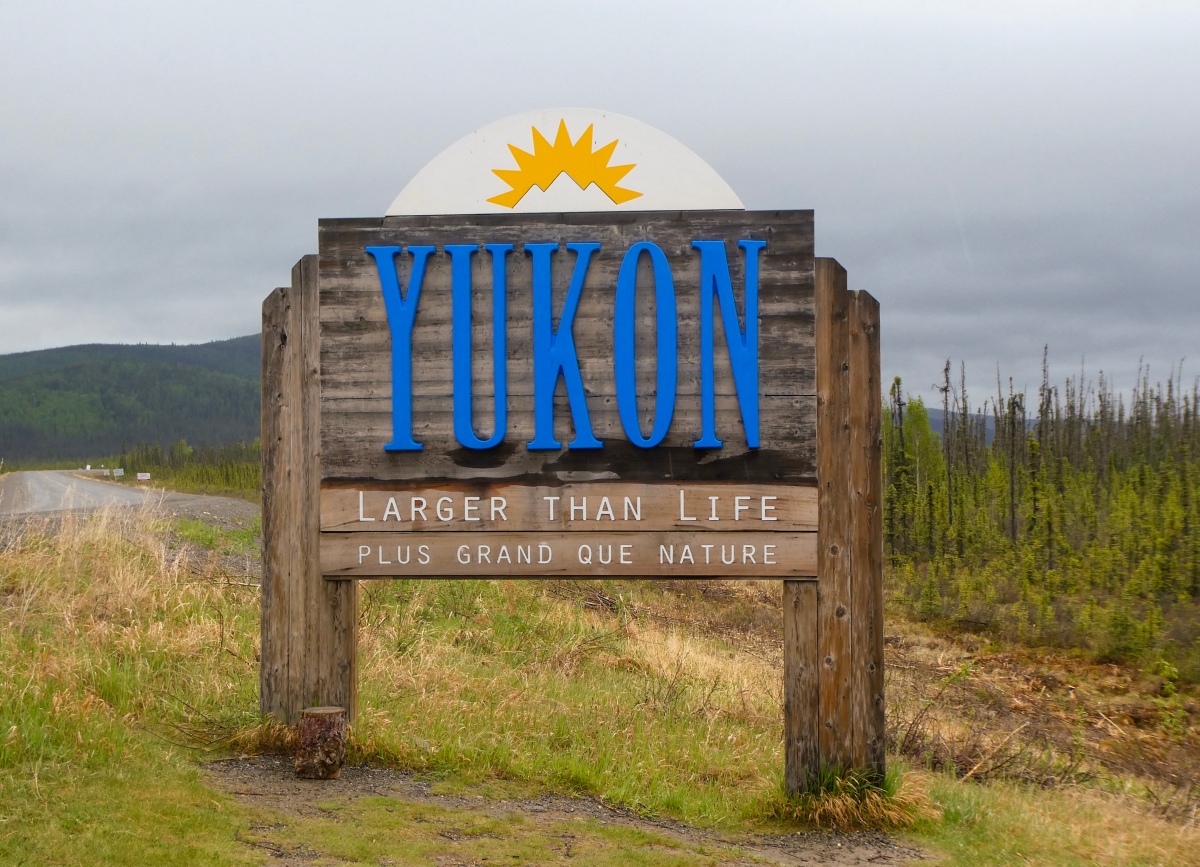
Discovery Park Hike to South Beach Then Touring Ballard locks and Fish Ladder
Discovery Park
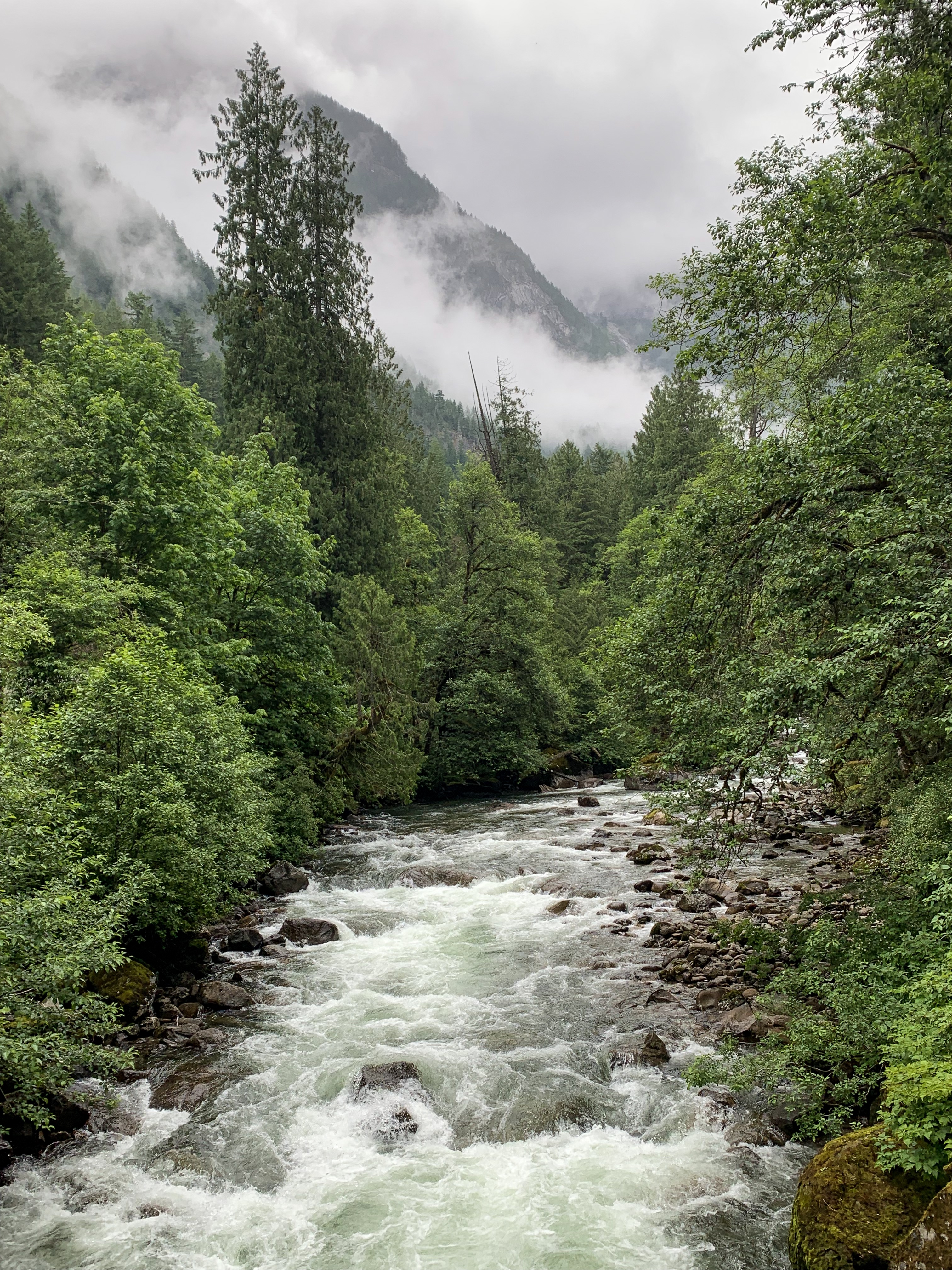
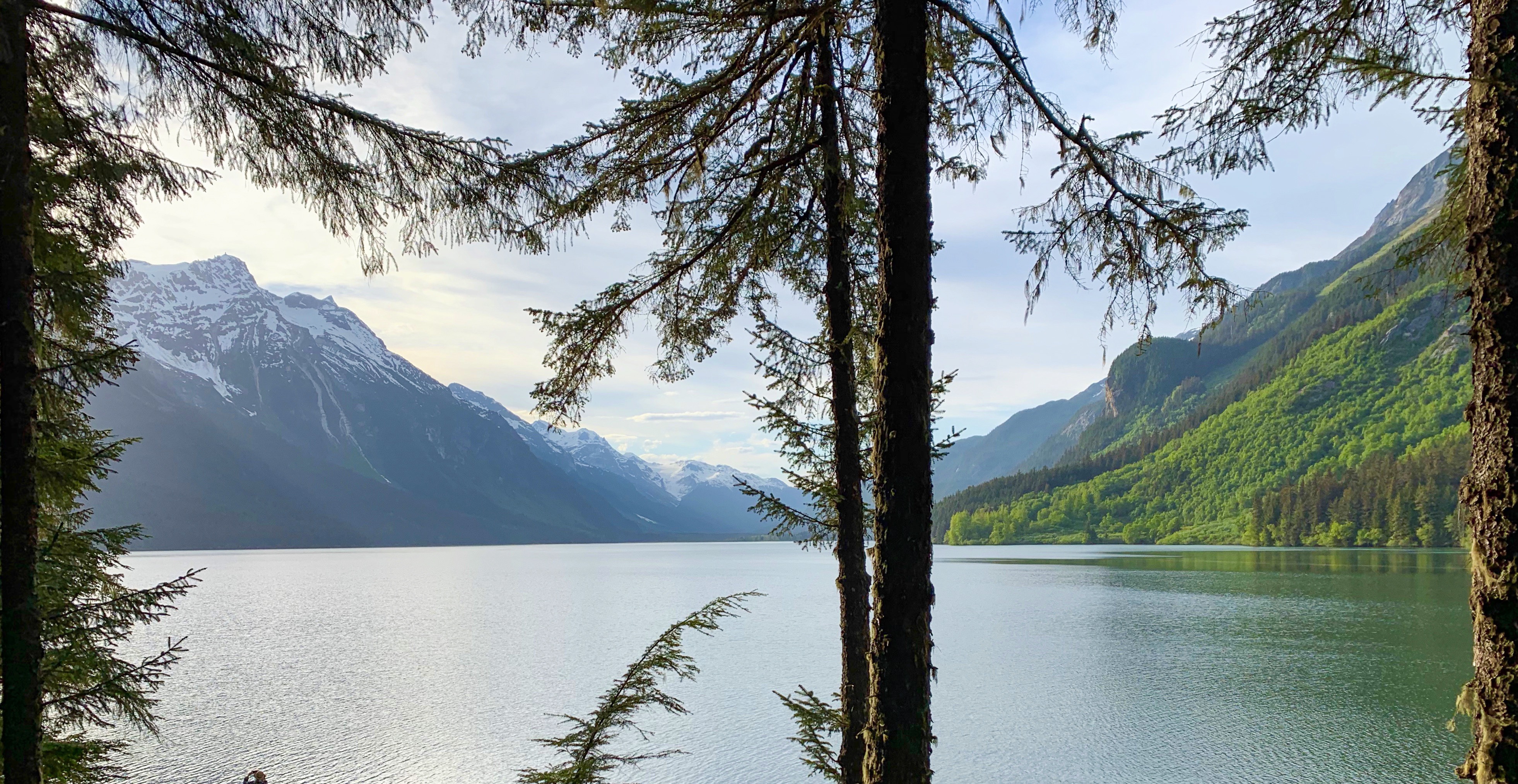
Discovery Park is a 534-acre (2.16 km2) park on the shores of Puget Sound in the Magnolia neighborhood of Seattle, Washington. It is the city’s largest public park and contains 11.81 miles (19.01 km) of walking trails. United Indians of All Tribes’ Daybreak Star Cultural Center is within the park’s boundaries. A lighthouse is located on West Point, the westernmost point of the park and the entire city of Seattle. The Discovery Park Loop Trail, designated a National Recreation Trail in 1975, runs 2.8 miles (4.5 km) through the park, connecting to other trails.
The park is built on the historic grounds of Fort Lawton; most of the Fort Lawton Historic District (FLHD) falls within the park (although an enclave within the district remains in military hands), as does the West Point Lighthouse. Both the FLHD and the lighthouse are on the National Register of Historic Places.
Ballard locks
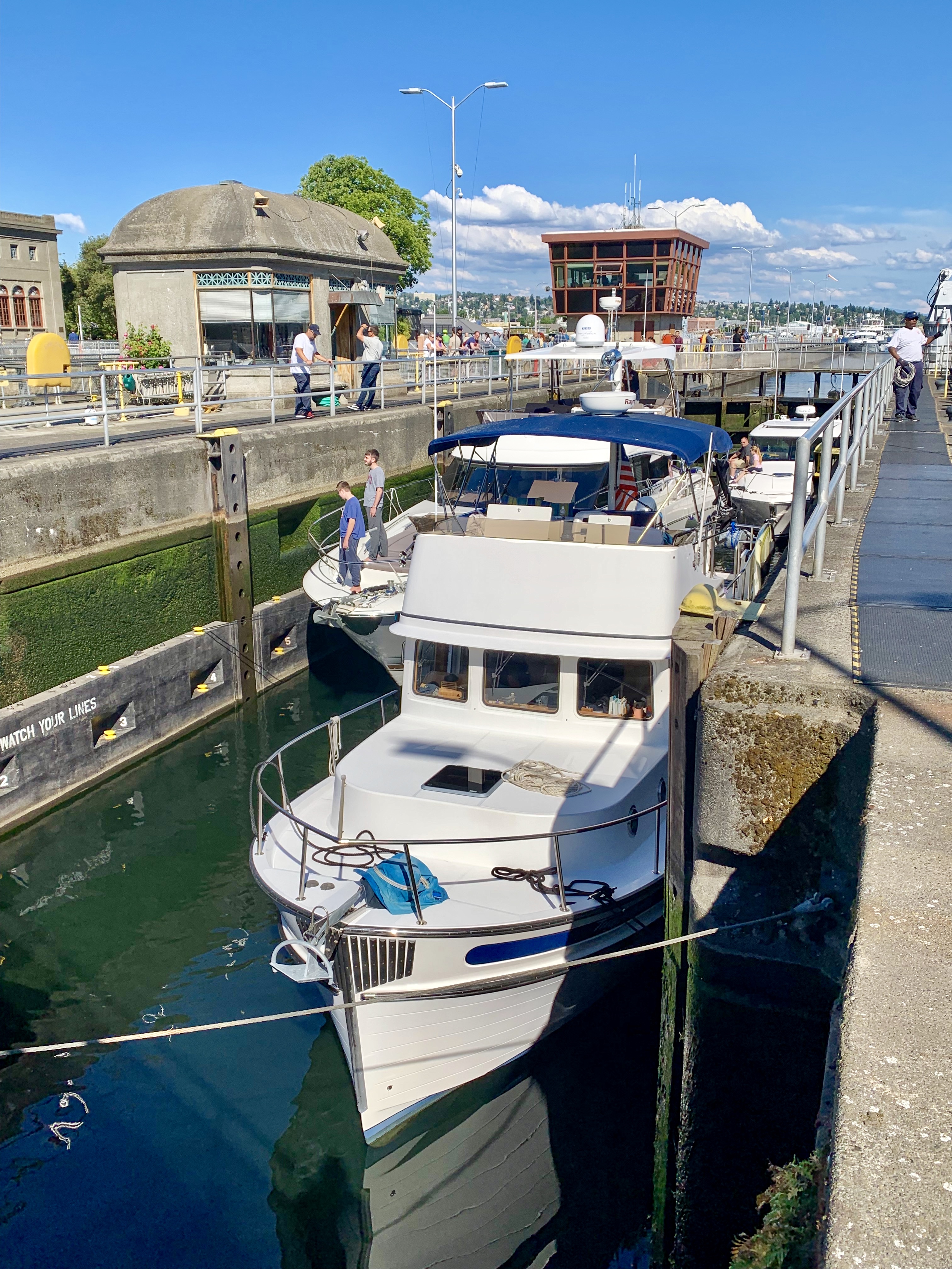
Officially known as the Hiram M. Chittenden Locks, the Ballard Locks is one of Seattle’s most popular tourist attractions, especially during the sunny months. The grounds also feature a fish ladder and the Carl S. English Jr. Botanical Garden — one of the most beautiful park settings in Seattle.
Completed in 1917, the locks link the Puget Sound with Lake Union and Lake Washington. (Aerial photo from U.S. Army Corps of Engineers).
Boats as large as 760 feet in length and as small as a kayak can travel through the locks. Once in the lock, the water level drops as much as 26 feet to bring the boats even with Puget Sound. The fresh water is exchanged with salt water.
Ten to fifteen minutes after the process began, the boats are on their way. During busy times, though, long lines of boats form on either side of the locks.
Through a system of swinging walkways, visitors can watch the action up close. Runners and byclists frequently use the locks as a way to cross the ship canal between Ballard and Magnolia.
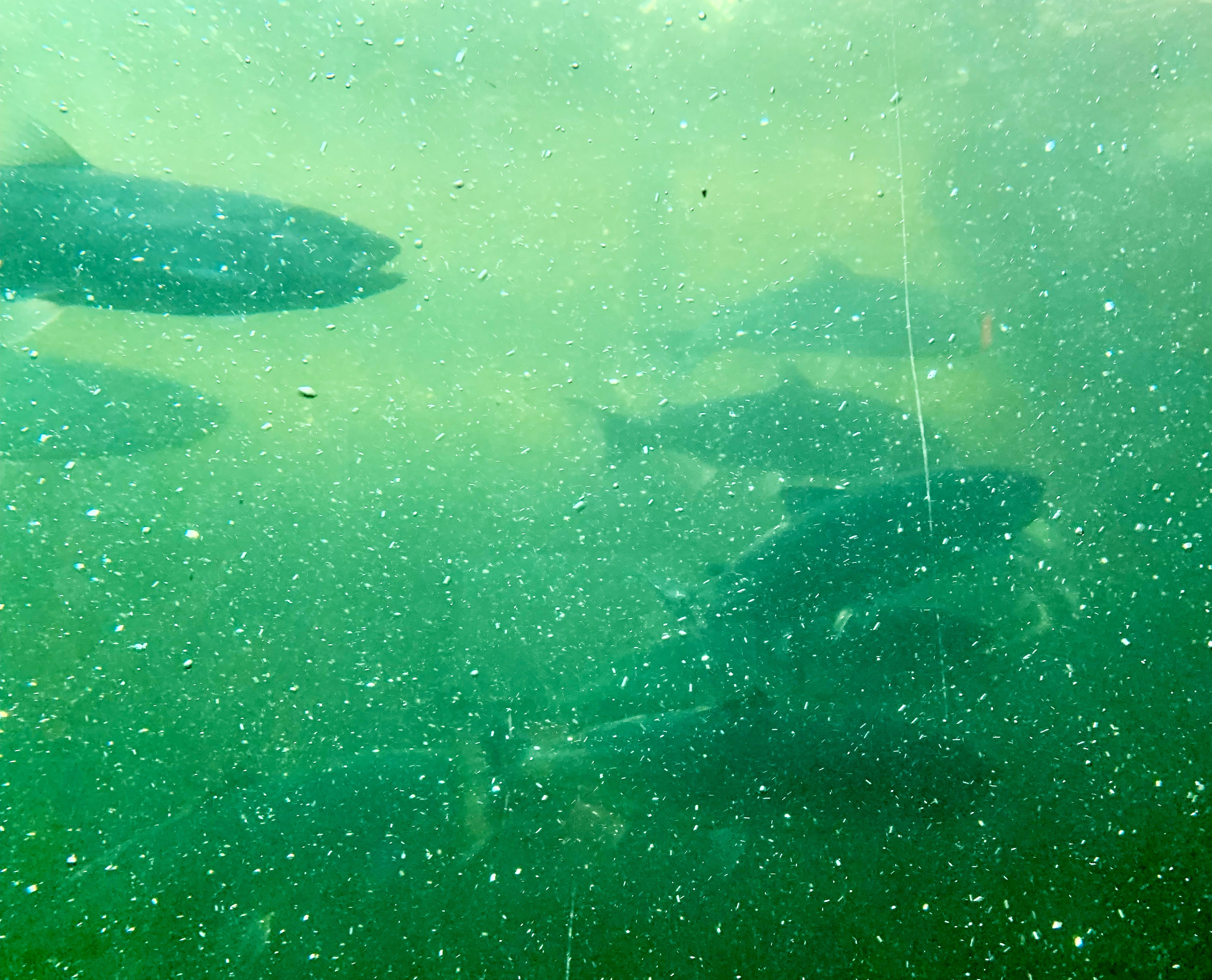
The locks are also a critical link for salmon and steelhead heading upstream to spawn. A fish ladder with 21 steps or “weirs” allows spawning fish to climb to the freshwater side. Young fish, or “smolts” then return down through the locks out to Puget Sound.
A viewing area allows visitors to watch one of the last “weirs” before the spawning fish head into freshwater.
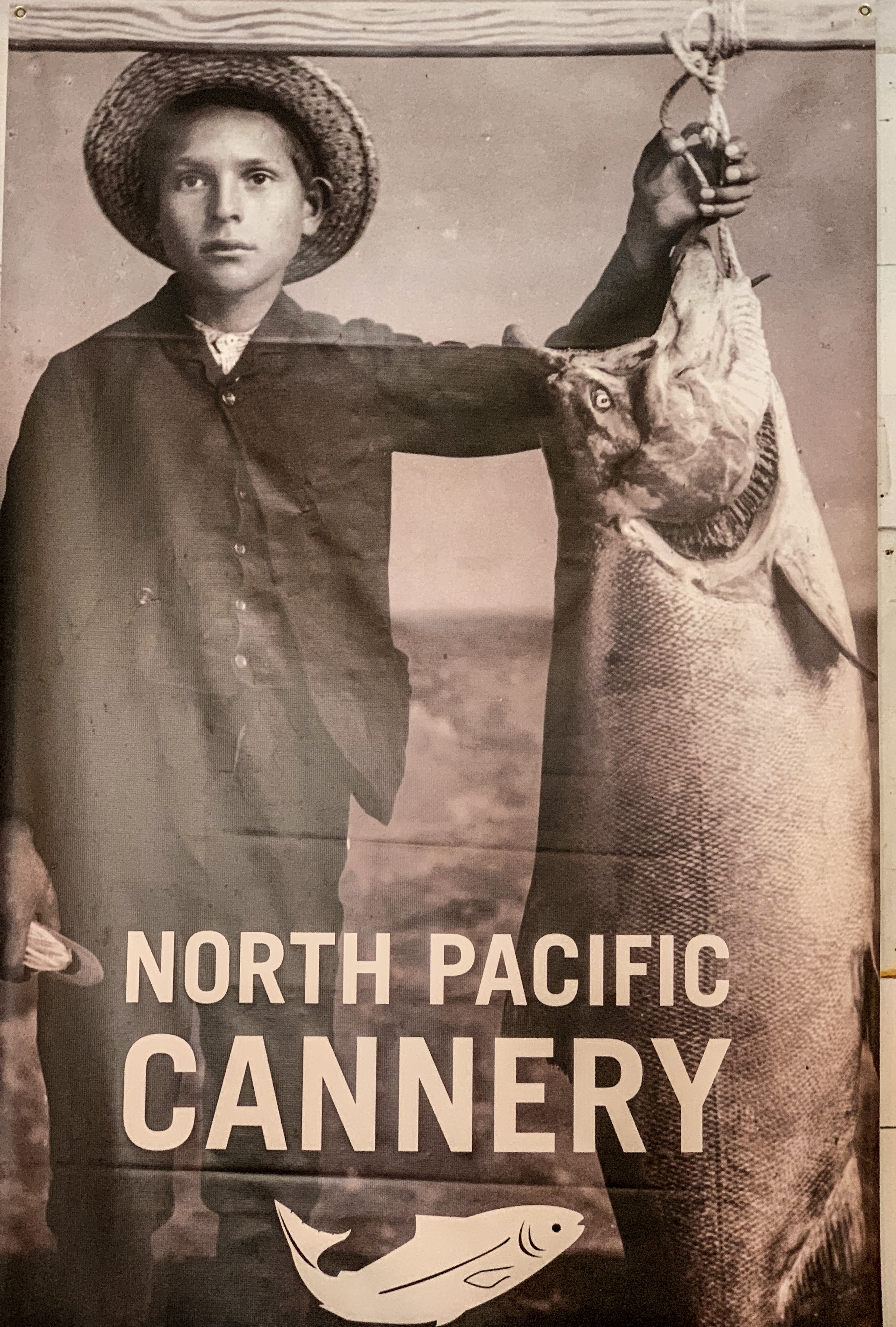
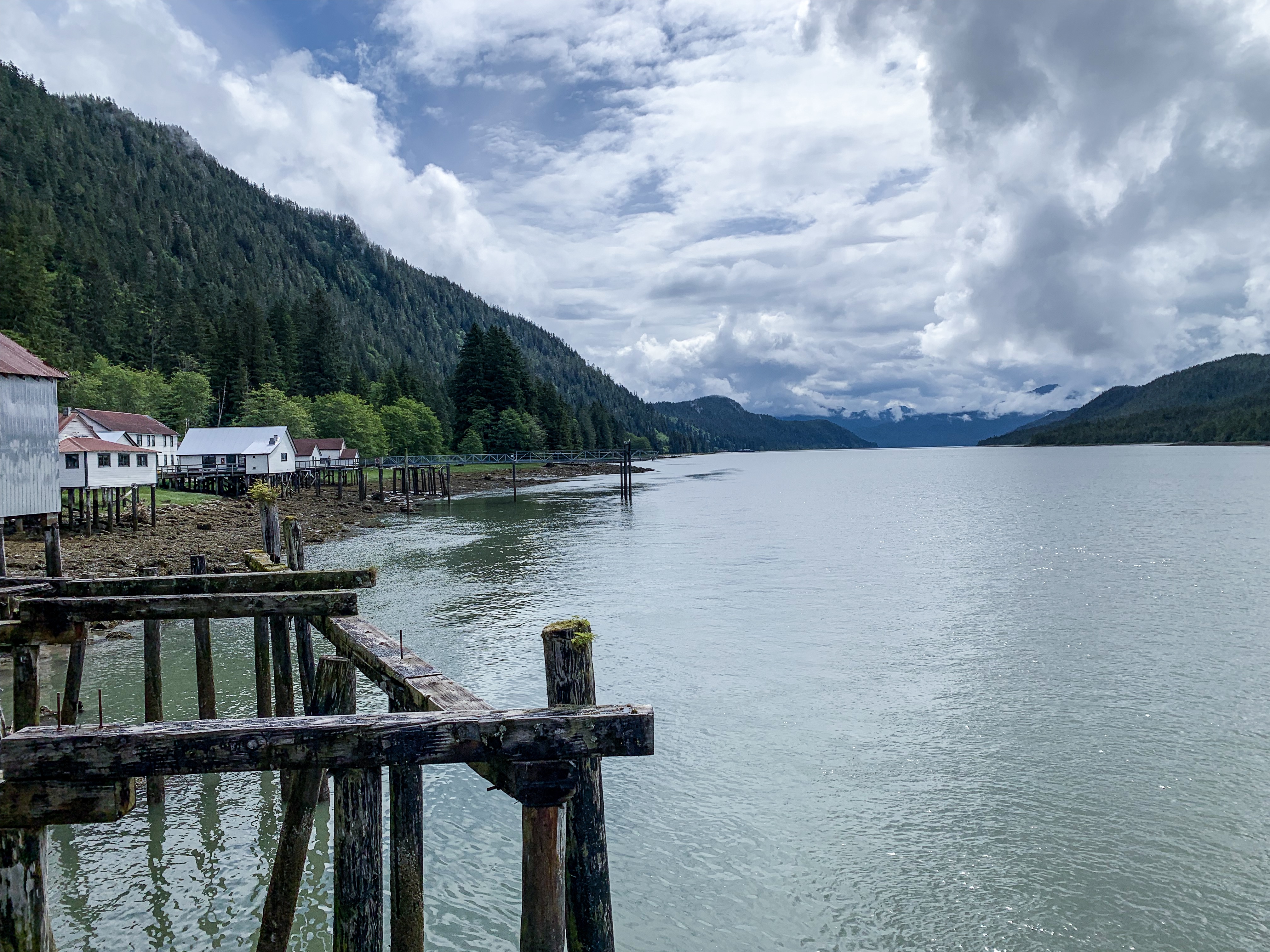
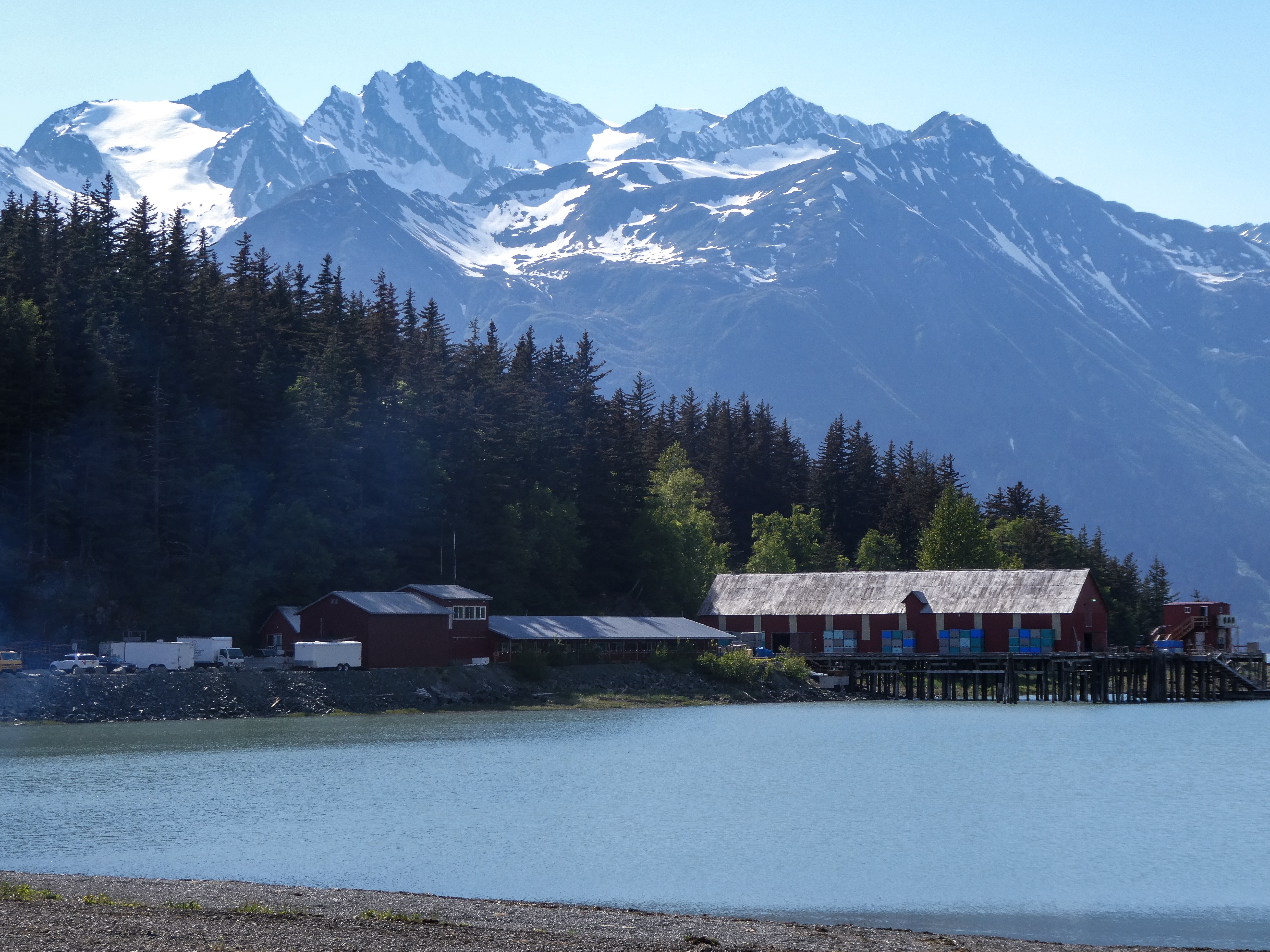
North Pacific Cannery’s history is unique and is comparable to few if any of the other canneries on the west coast of North America. North Pacific Canning Company was formed on November 28, 1888. It had almost 90 years continuous salmon production and fish processing until ending in the late 1970s.
In these isolated locales, accessible only by boat or rail, there was a need for staff housing to provide lodging for the workers, who would live on site through the canning season. At most of these canneries, labour was divided according to race and culture, with Japanese fishing and net mending, First Nations fishing and working on the cannery line, Chinese on the cannery line and cooking, and Europeans fishing and managing. This multicultural but segregated arrangement is characteristic of the early north coast canneries. North Pacific has much of its village intact, although all of the First Nations and Chinese houses, as well as most of the Japanese buildings, have been lost through obsolescence and neglect.
North Pacific Cannery National Historical Site History
Kitwanga to Quesnel
Silver Lake Campground
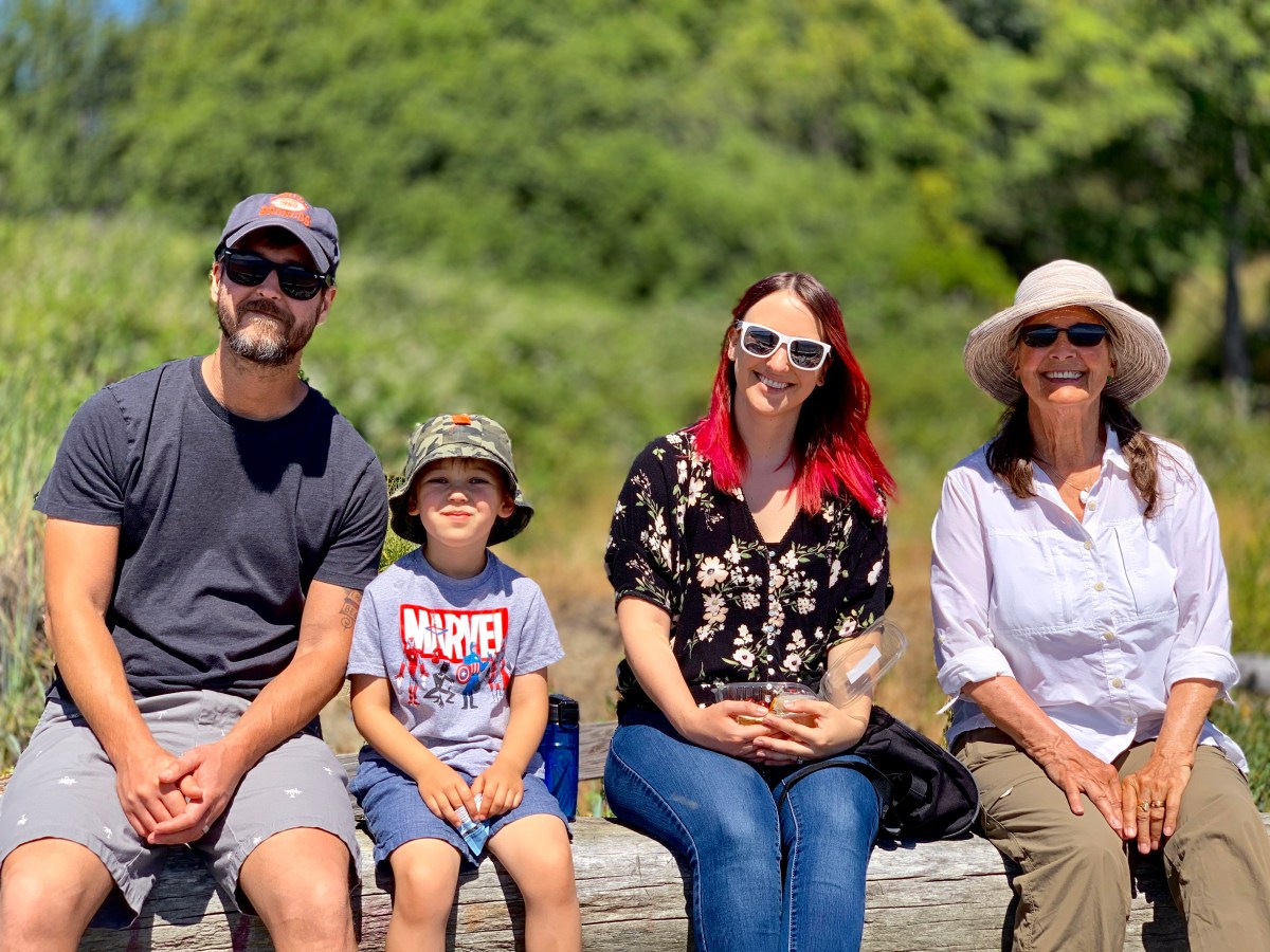
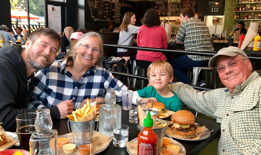
Arriving in Bothell, Washington: daughter Julie, son Ben and grandson Drake
“Chicken is a community founded on gold mining and is one of the few surviving gold rush towns in Alaska. The population was 7 at the time of the 2010 Census, down from 17 in 2000. However, usually year round, there are 17 inhabitants. Due to mining, Chicken’s population peaks during the summer. It has frequently been noted on lists of unusual place names.
Chicken was settled by gold miners in the late 19th-century and in 1902 the local post office was established requiring a community name. Due to the prevalence of ptarmigan in the area that name was suggested as the official name for the new community. However, the spelling could not be agreed on and Chicken was used to avoid embarrassment. “
The Chicken Annual Music Festival was happening in Chicken, otherwise not much to see other than Chicken jokes and costumes
“Between Chicken and Eagle, the Taylor Highway is narrow, winding, gravel road with many steep hills and some hairpin curves. The road from Jack Wade Junction to Eagle is not recommended for RVers. “
We reached Chicken via the Taylor Highway, shortly thereafter, turned onto the Top Of The World Highway, then turned north to check out Eagle,
“From Chicken, it’s just another 90 miles of driving to one of Alaska’s oldest towns, Eagle; but the drive usually takes at least three hours, thanks to the rough road”. (It took us 3.75 hours).
Top of the World Highway We can see for miles and miles….Sally on top of the world
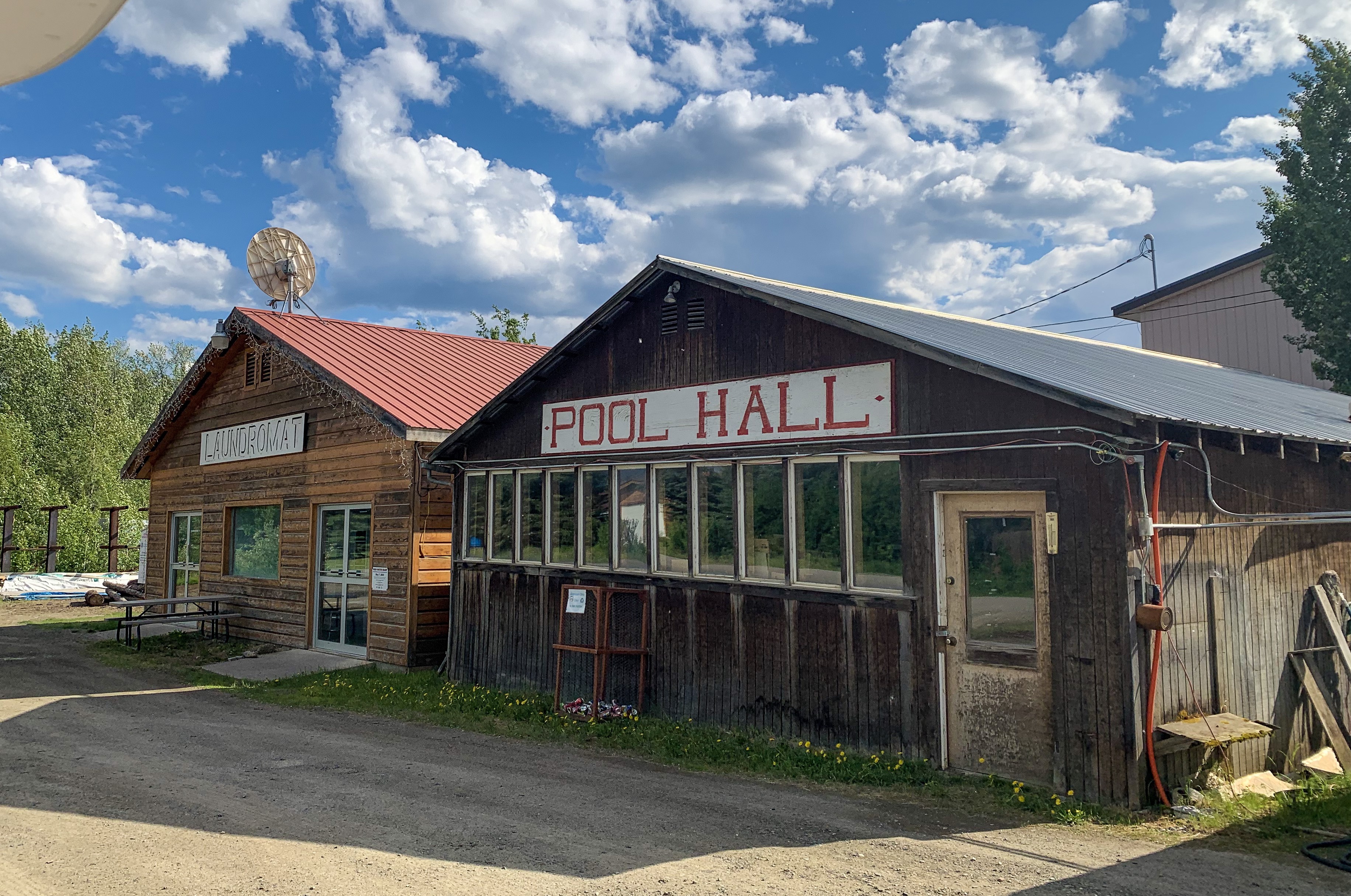
“Eagle is a city on the south bank of the Yukon River near the Canada–US border in the Southeast Fairbanks Census Area, Alaska, United States. It includes the Eagle Historic District, a U.S. National Historic Landmark. The population was 86 at the 2010 census. Every February, Eagle hosts a checkpoint for the long-distance Yukon Quest sled dog race.”
“The first permanent American-built structure in present-day Eagle was a log trading post called “Belle Isle”, built around 1874. In the late 1800s, Eagle became a supply and trading center for miners working the upper Yukon River and its tributaries. By 1898, its population had exceeded 1,700, as people were coming into the area because of the Klondike Gold Rush.
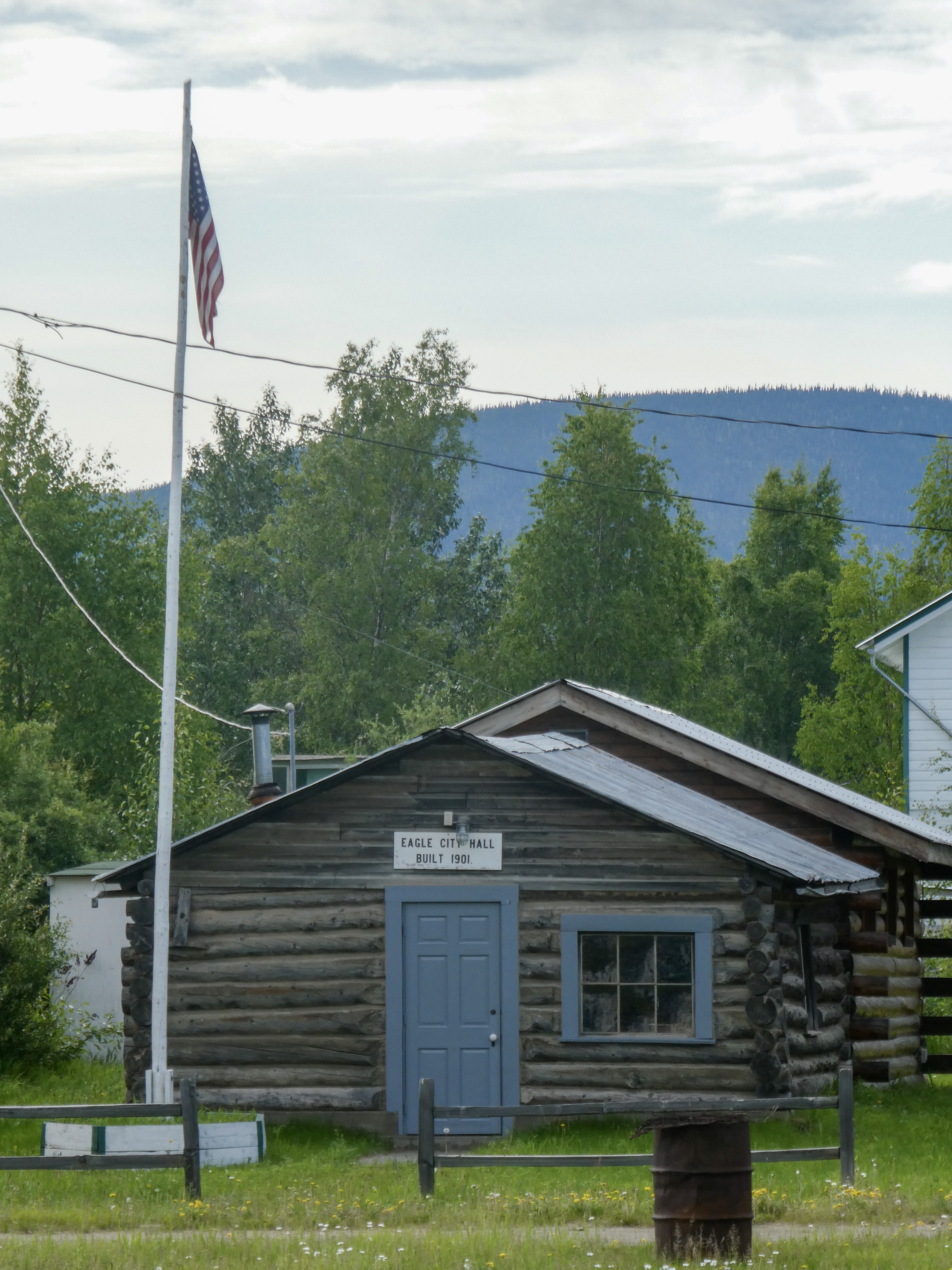
In 1901 Eagle became the first incorporated city in the Alaska Interior. It was named for the many eagles that nested on nearby Eagle Bluff. A United States Army camp, Fort Egbert, was built at Eagle in 1900. A telegraph line between Eagle and Valdez was completed in 1903. In 1905, Roald Amundsen arrived in Eagle and telegraphed the news of the Northwest Passage to the rest of the world. The gold rushes in Nome and Fairbanks lured people away from Eagle.“
Before exploring Eagle, we found campsites in a BLM campground. Immediately after opening the car door, the mosquitoes descended upon us. Only a couple other places in Alaska were as mosquito infested as Eagle.
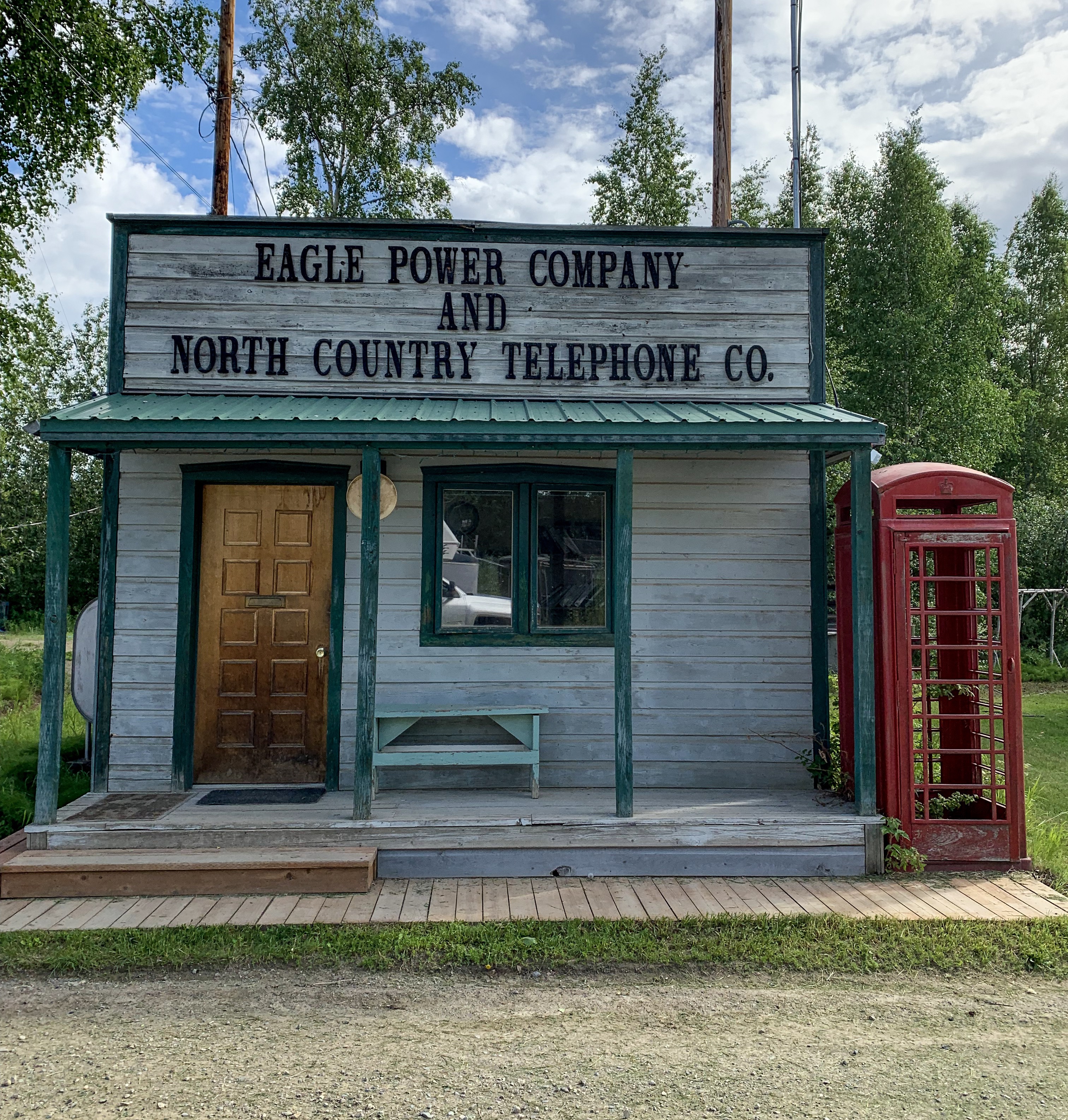
Critical gear sold at the Eagle Mercantile The mighty Yukon RiverA road through town doubles as part of the landing stripOnly 86 people, but we have a pool hall!Power and telephone company- actually, no phone or internet in townCity Hall
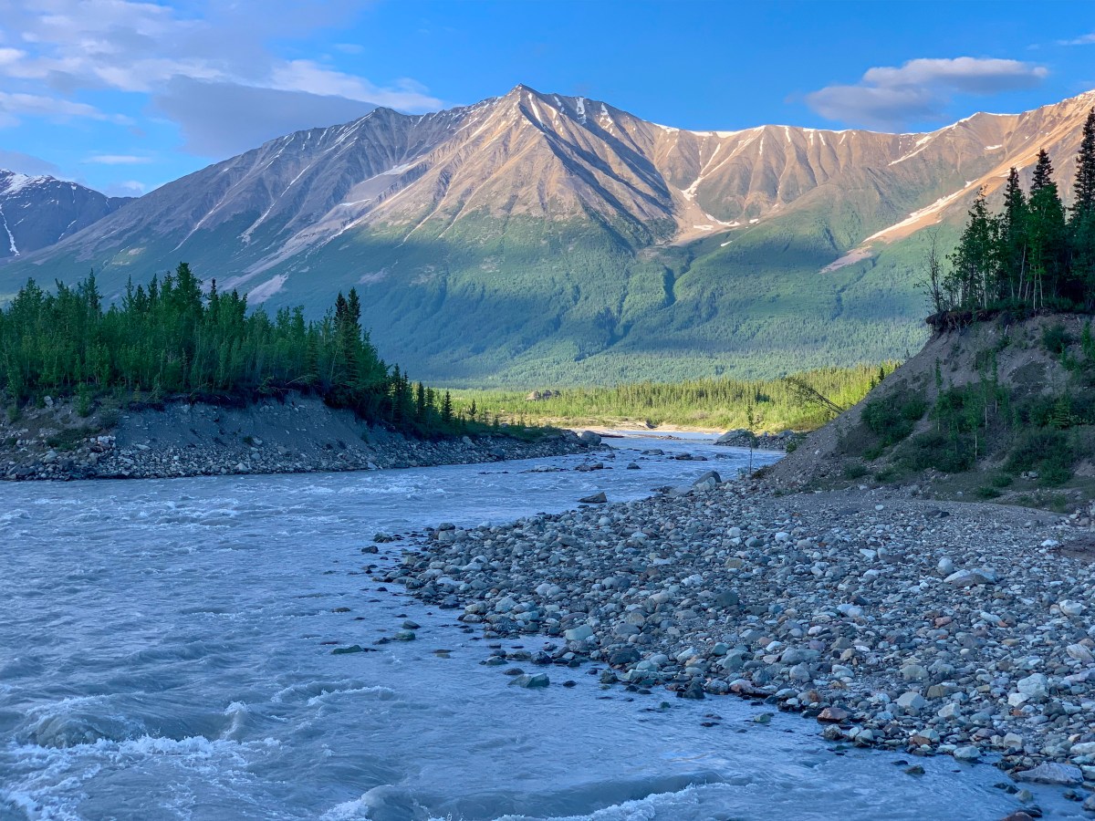
After 90 miles back down the rough and windy road, we rejoined the Top of the World Highway for Dawson City, Yukon, Canada
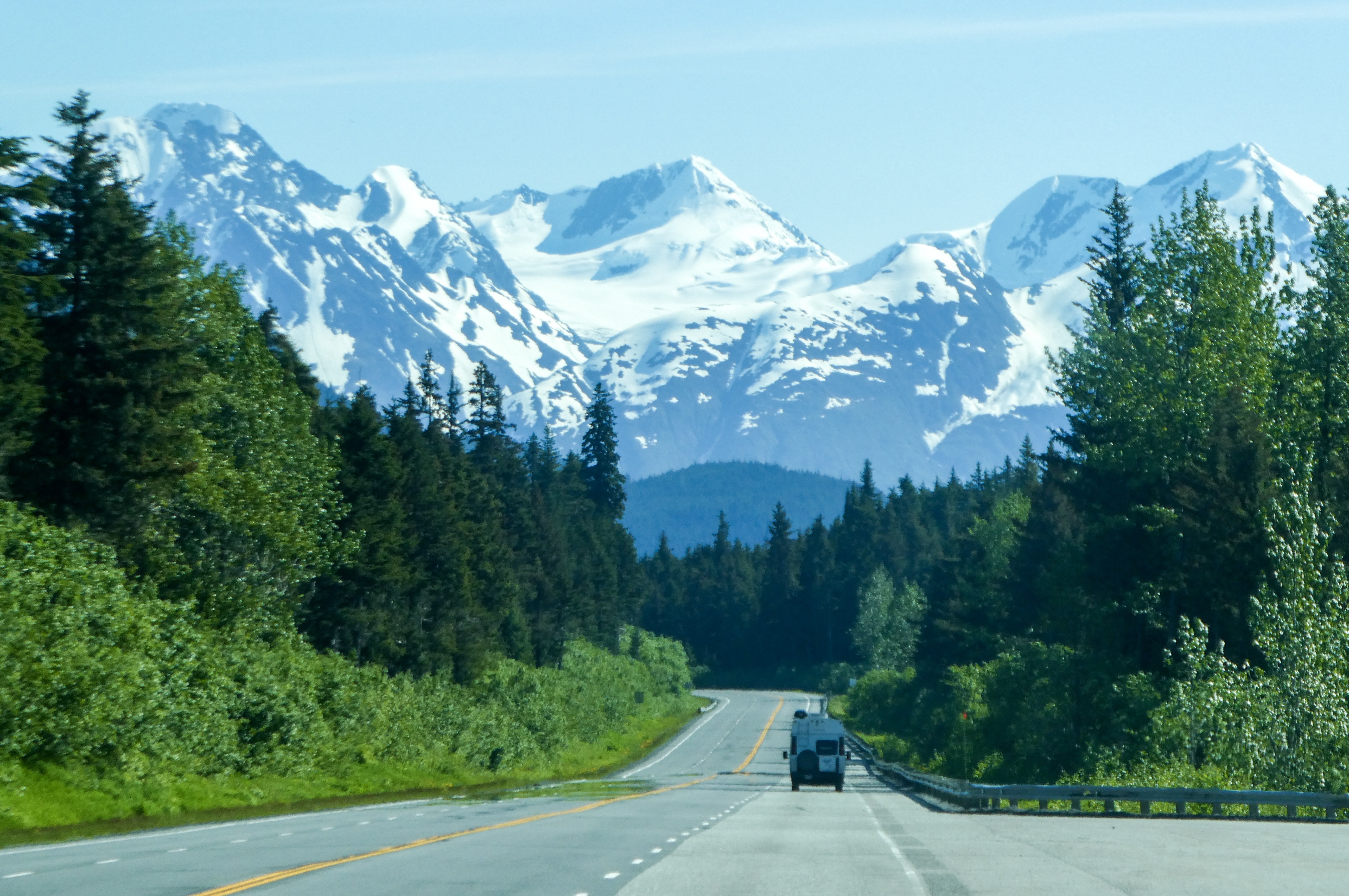
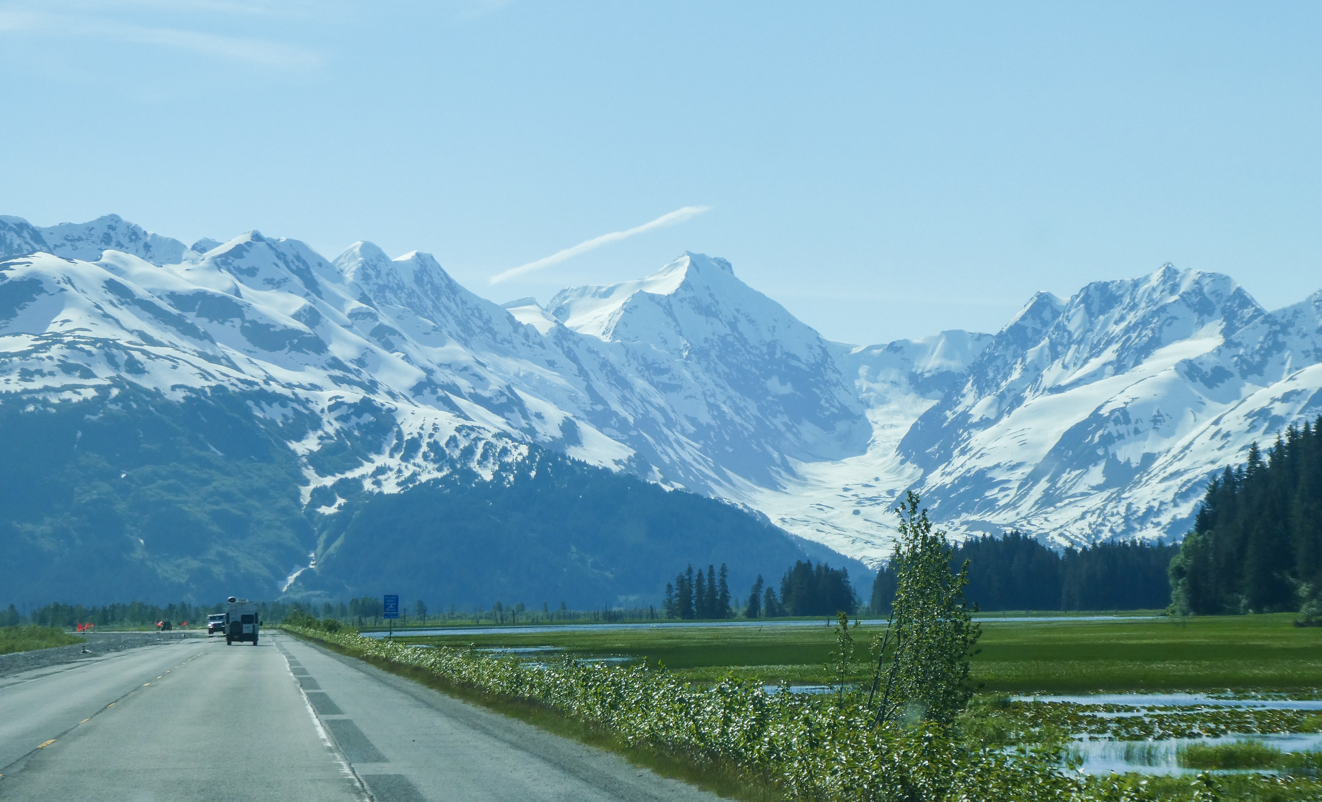
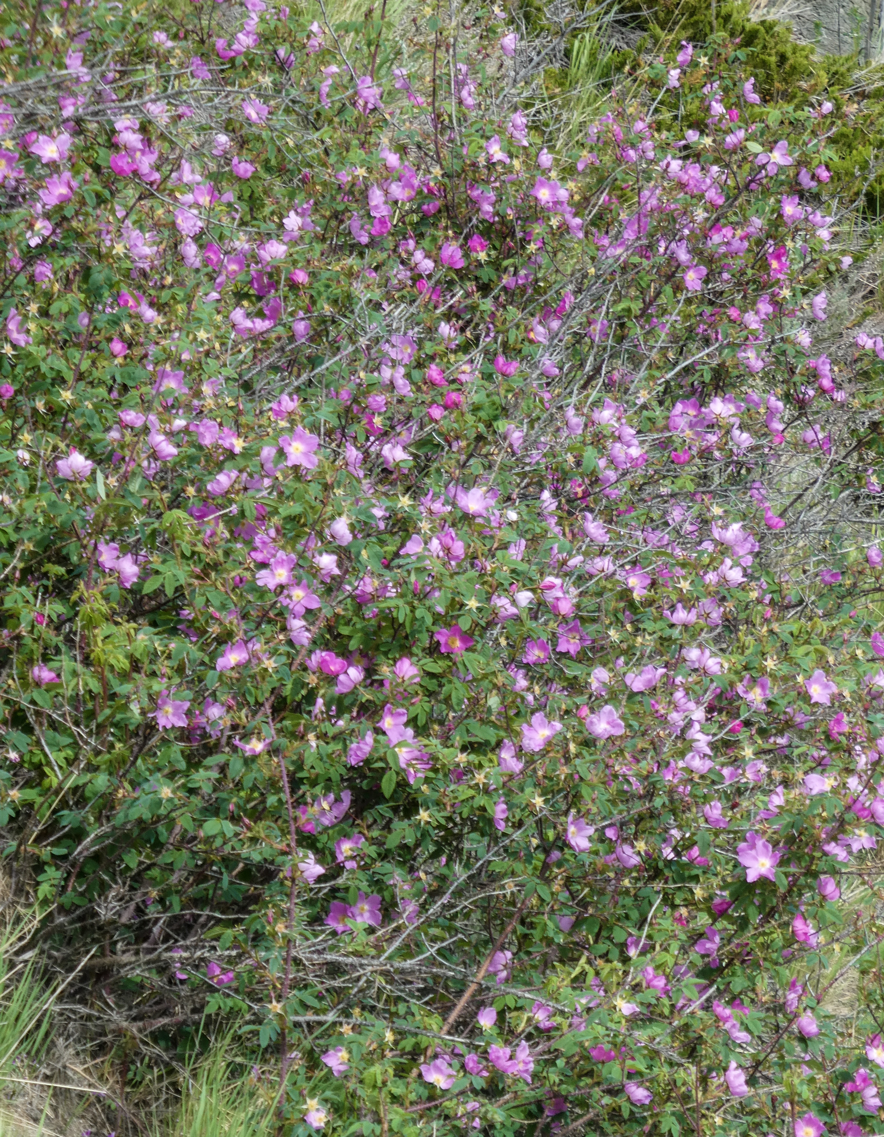
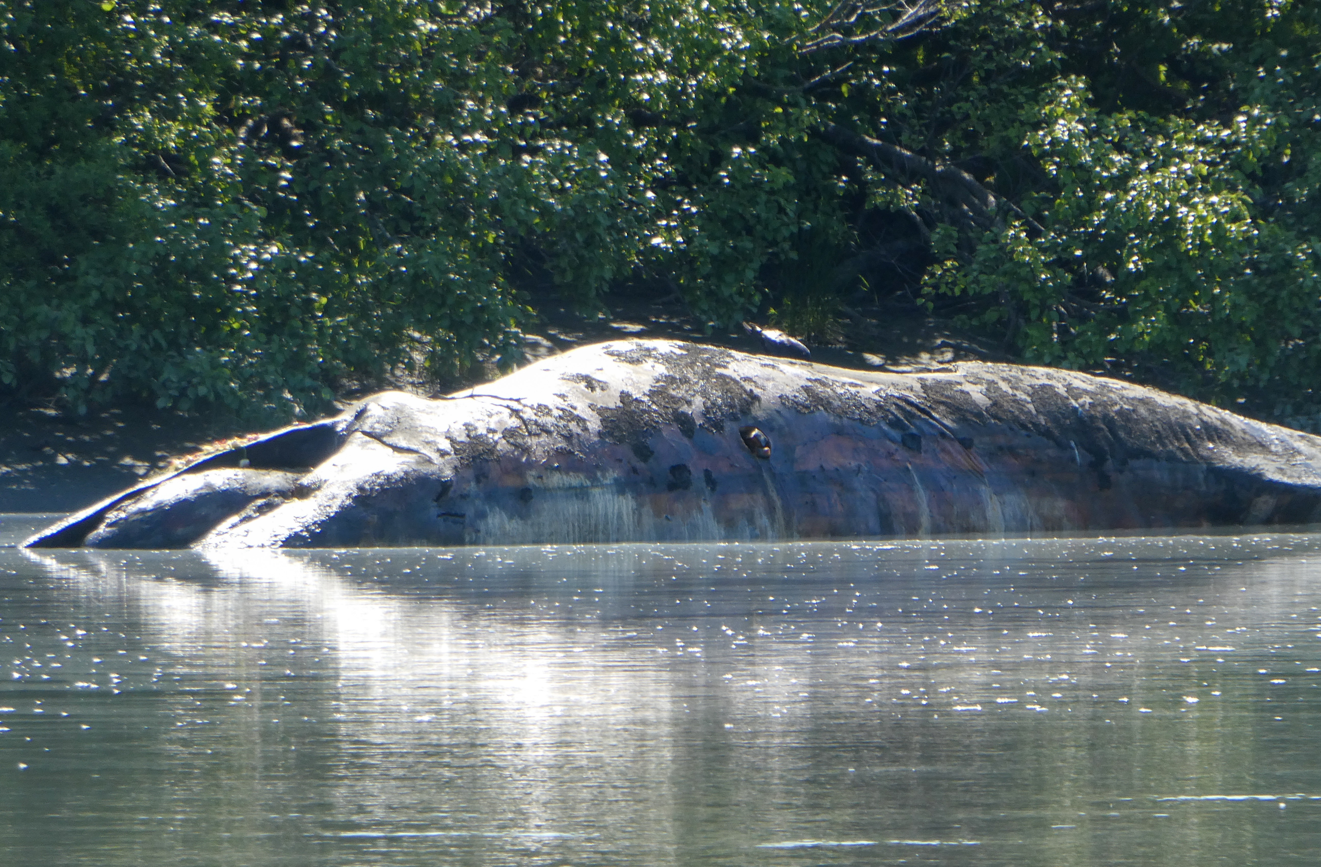
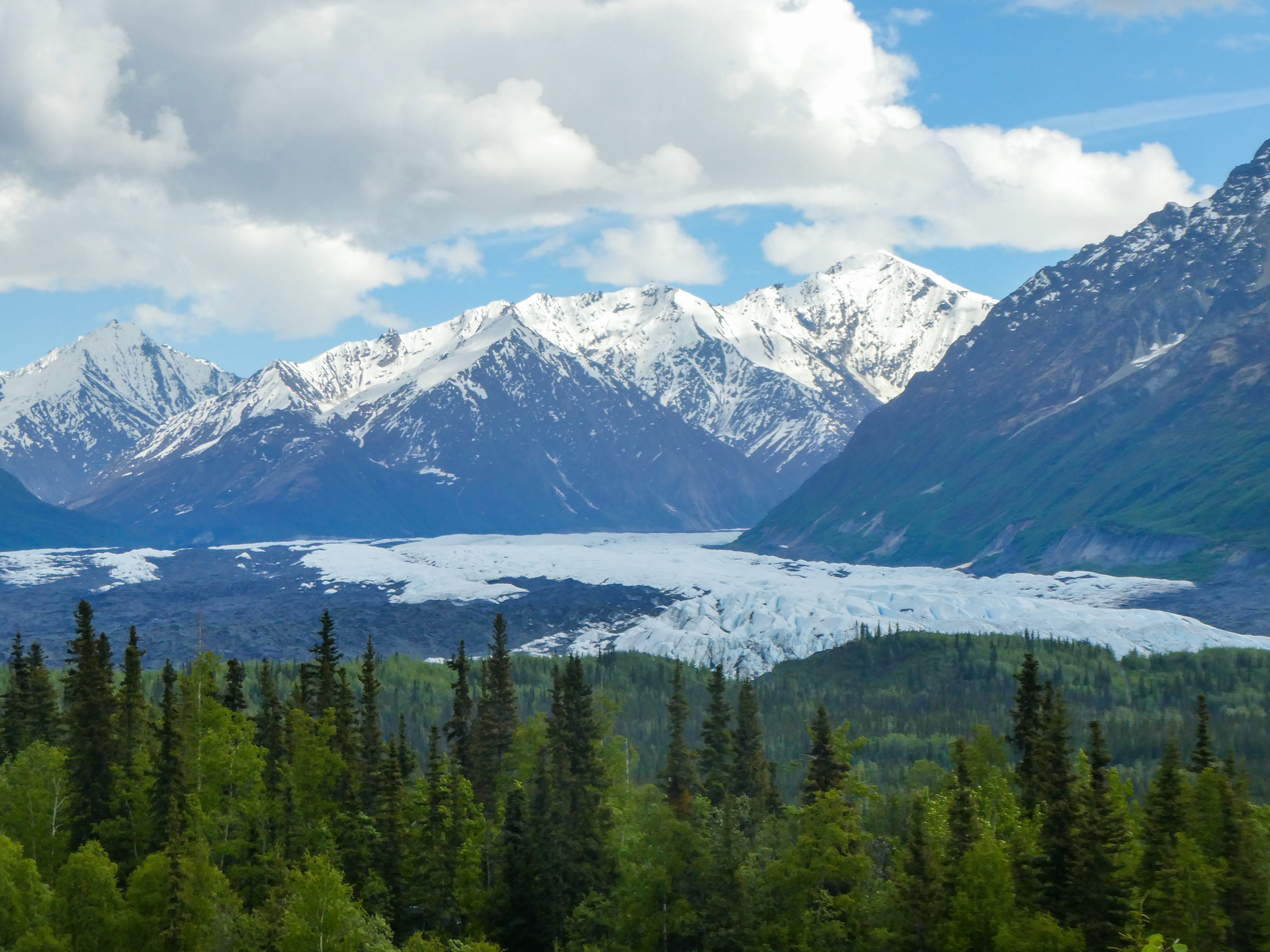
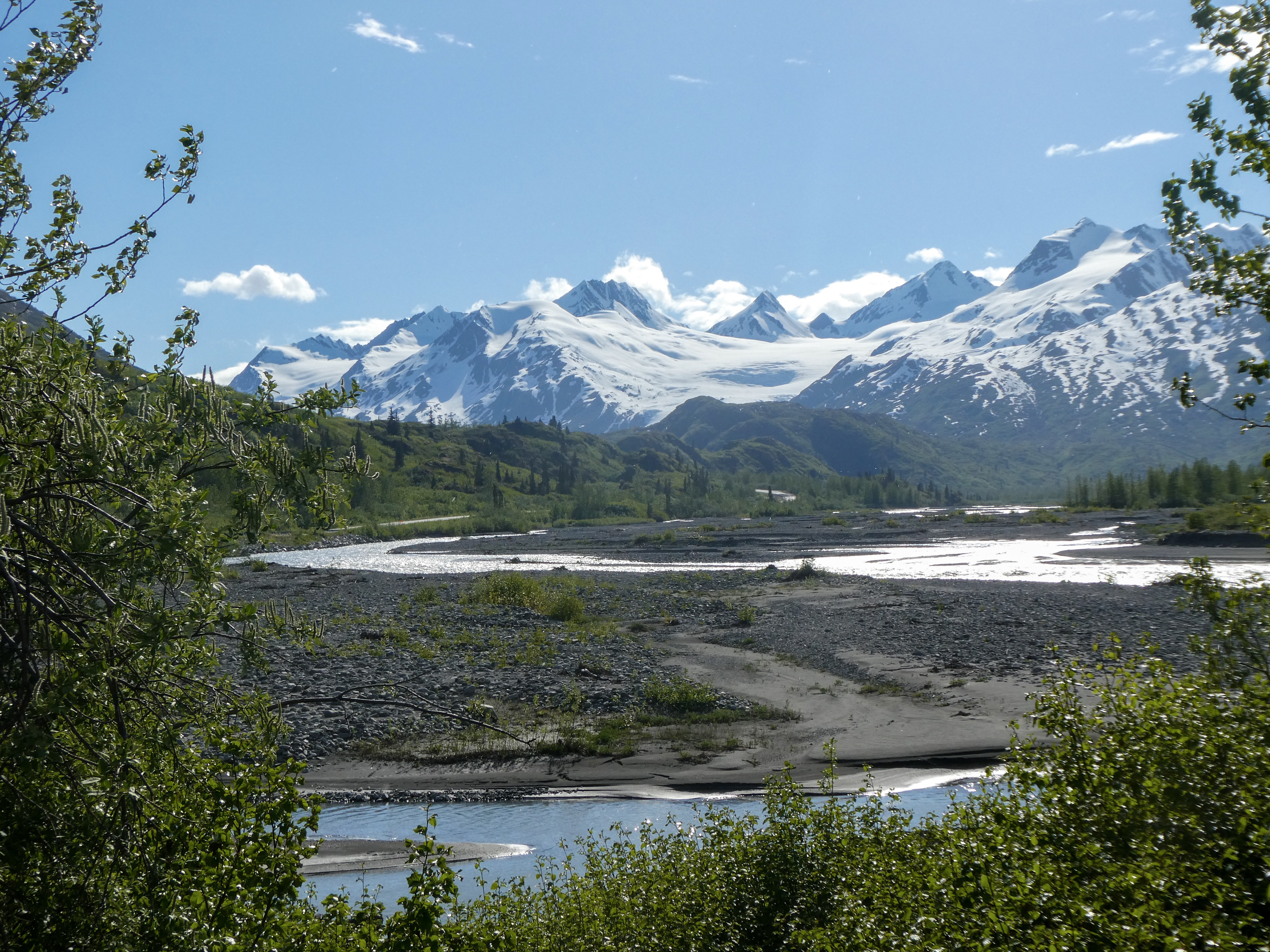
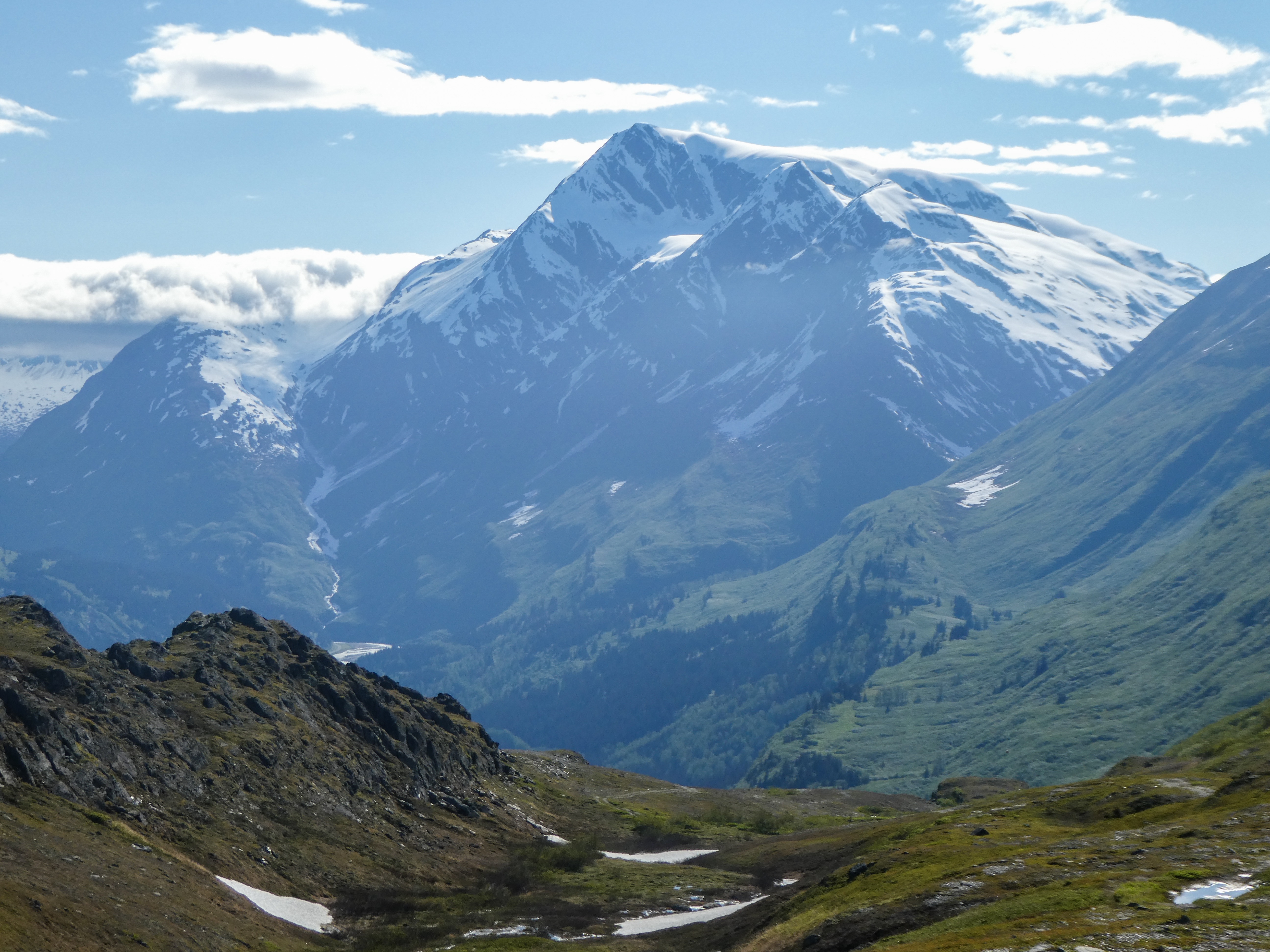
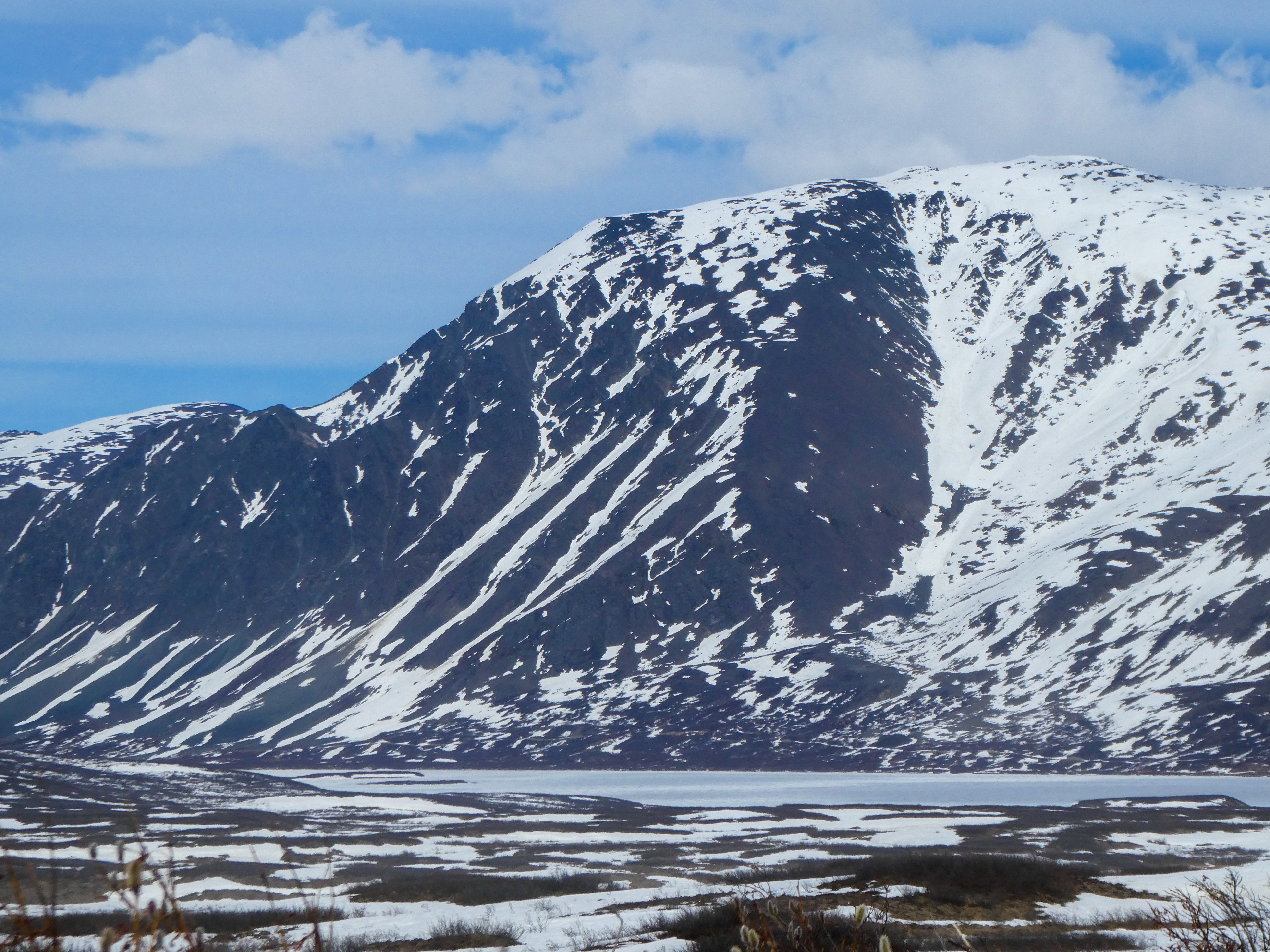
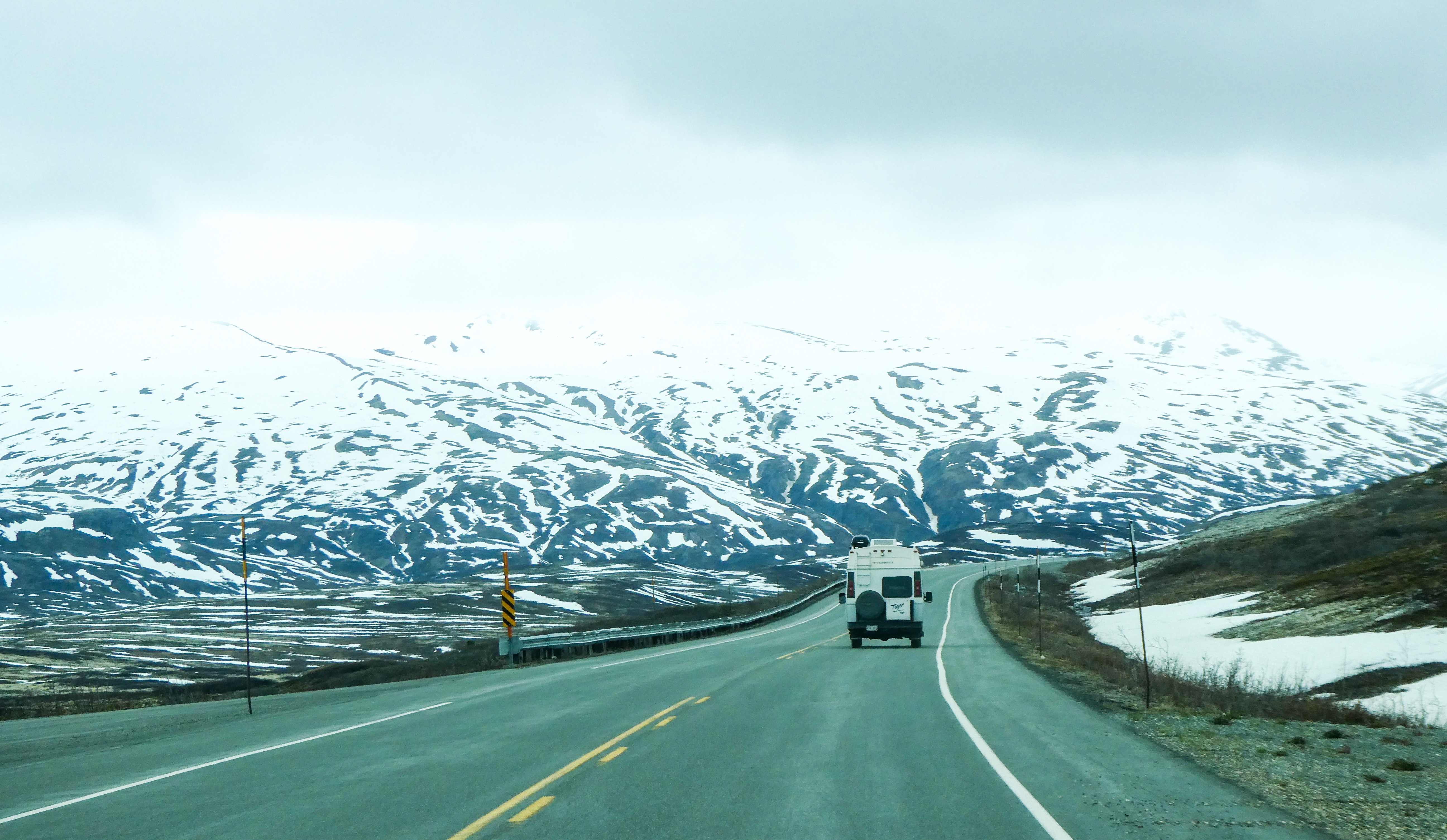
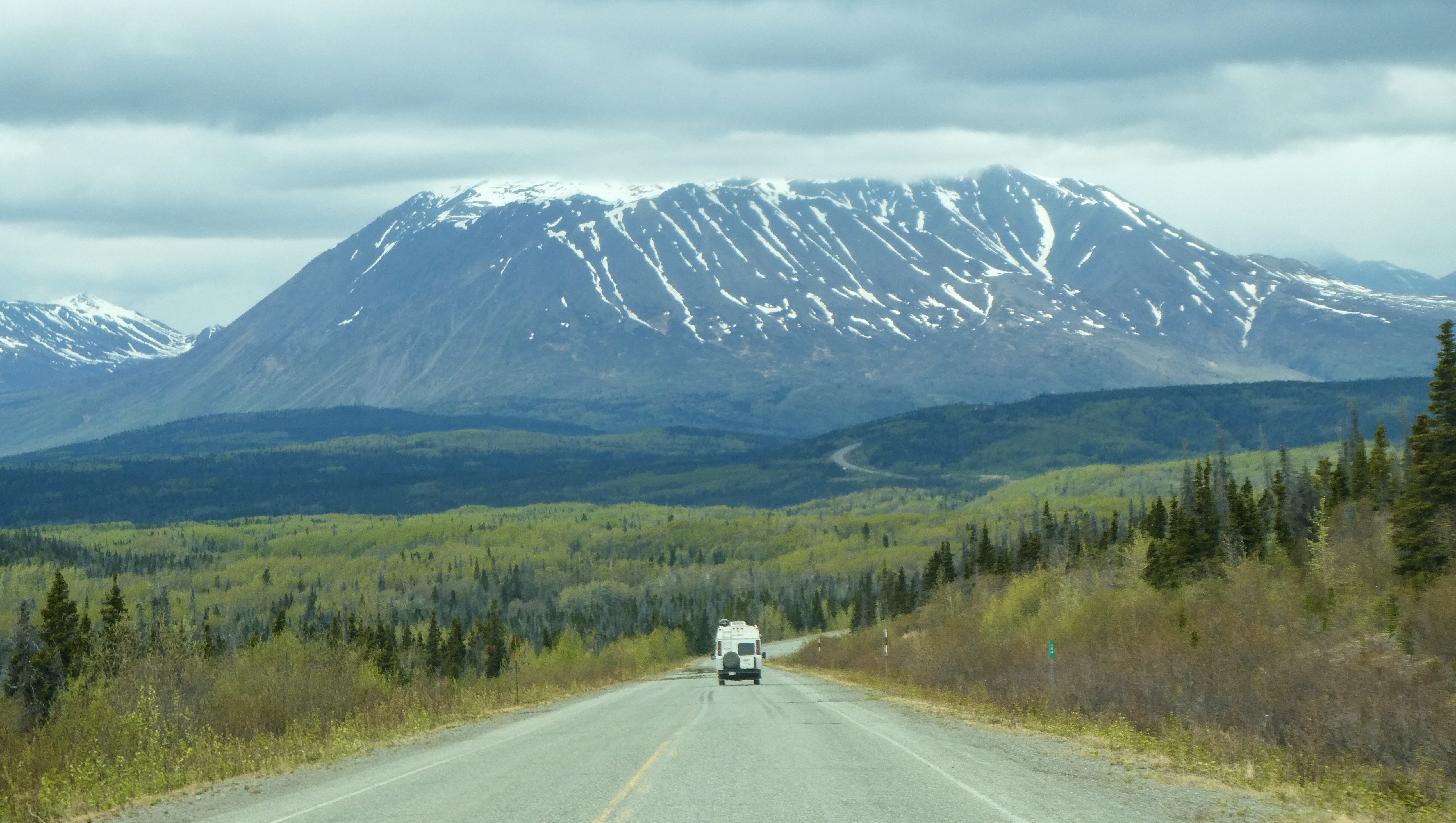
Driving east from Anchorage Wild roses, so fragrant, we smelled them before spotting them. A dead whale up the Matanuska River. How did it get so far inland?Views from the Glenn HighwayThe Matanuska Glacier
“Whats So Special about Wrangell-St. Elias?”
“Incredible. You must see Wrangell-St. Elias National Park and Preserve to believe it. Number and scale loom large here, magnified by splendid isolation. The largest U.S. national park, it equals six Yellowstones, with peaks upon peaks and glaciers after glaciers. Follow any braided river or stream to its source and you will find either a receding, advancing, or tidewater glacier. The park lets you sample representative Alaska wildlife as well as historic mining sites.
The peaks’ sheer numbers quickly quell your urge to learn their names. That roads are few means many travelers will not enter the park itself, but major peaks –Blackburn, Sanford, Drum, and Wrangell –are seen from nearby highways.
Four major mountain ranges meet in the park, which include nine of the 16 highest peaks in the United States. The Wrangells huddle in the northern interior. The Chugach guard the southern coast. The Saint Elias Mountains rise abruptly from the Gulf of Alaska to thrust northward past the Chugach on toward the Wrangells. The eastern end of the Alaska Range-mapped as the Nutzotin and Mentasta mountains-forms part of the preserve’s northern boundary.The Wrangells are volcanic in origin, but only Mount Wrangell remains active (last report erupting in 1900) with vents of steam near its summit.
With adjoining Kluane National Park in Canada, all these ranges form North America ’s premier mountain wilderness. Covered year-round with snow, the high-country stands cloaked with icefields and glaciers. Near the coast, North America ’s largest subpolar icefield, Bagley Icefield, spawns giant glaciers, the Tana, Miles, Hubbard,and Guyot.The Malaspina Glacier flows out of the St. Elias Range between Icy and Yakutat bays in a mass larger than the state of Rhode Island. So much glacial silt rides it that plants and trees take hold on the glacier’s extremities and grow to maturity only to topple over the edge when it melts.
Flowing from glaciers are multitudes of meandering rivers and braided streams. Largest is the Copper River, forming the park’s western boundary. The Copper rises in the Wrangells and empties into the Gulf of Alaska in the Chugach National Forest. In the early 1900s the Kennecott Mining Co. transported copper from its mines near McCarthy by railroad along the Chitina and Copper rivers to ships at Cordova. Ore was extracted from these productive mines between 1911 and 1938 and lured many people to the area. Gold was extracted from the Nabesna area, then too. Mining still takes place on private lands in the park, and evidence of earlier mining includes ruins of the Kennecott mines, now listed on the National Register of Historic Places. In mining’s heyday the Indian villages expanded and several new towns sprang up. Copper Center, Chitina, Gulkana, and Chistochina are among the old Athabascan settlements. The town of Yakutat is a traditional Tlingit fishing village.
While vegetation may appear sparse, especially in the interior, the park is home to a variety of plants and wildlife. Mountain slopes have a diversity of plants, dwarf shrubs, and grasses where dall sheep and mountain goats patrol the craggy peaks. Interior and coastal spruce forests are home to shrubs, such as blueberry and prickly rose. Caribou feed on lichens and sedges on the slopes of the Wrangells. Moose browse in the sloughs and bogs of the forested lowlands, while bears roam throughout the park. Many rivers, streams, and lakes provide spawning grounds for salmon and other fish. The Copper River drainage marks major flyways for migratory birds and provides nesting sites for trumpeter swans. Coastal areas are habitat for marine mammals, including sea lions and harbor seal”
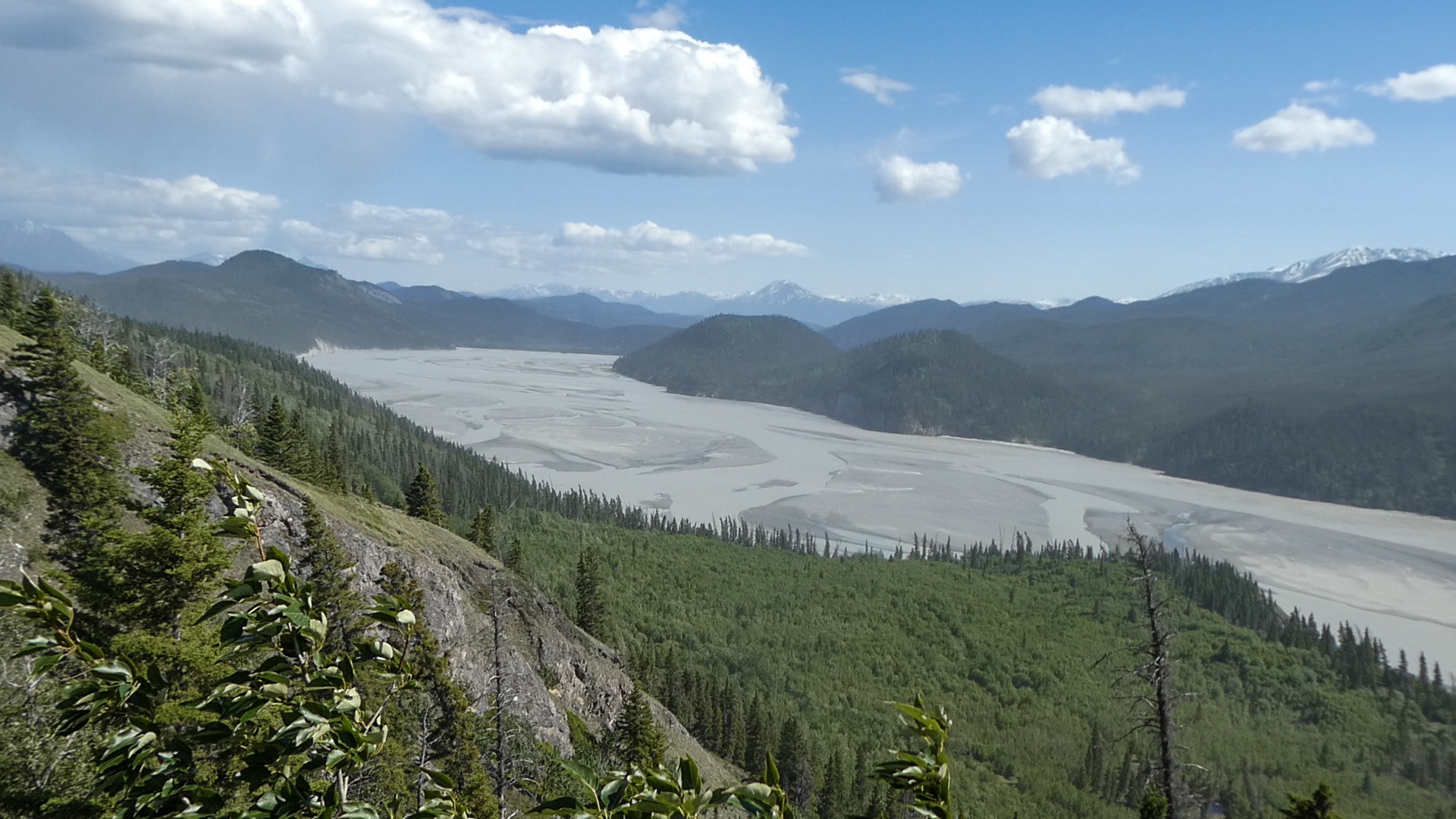
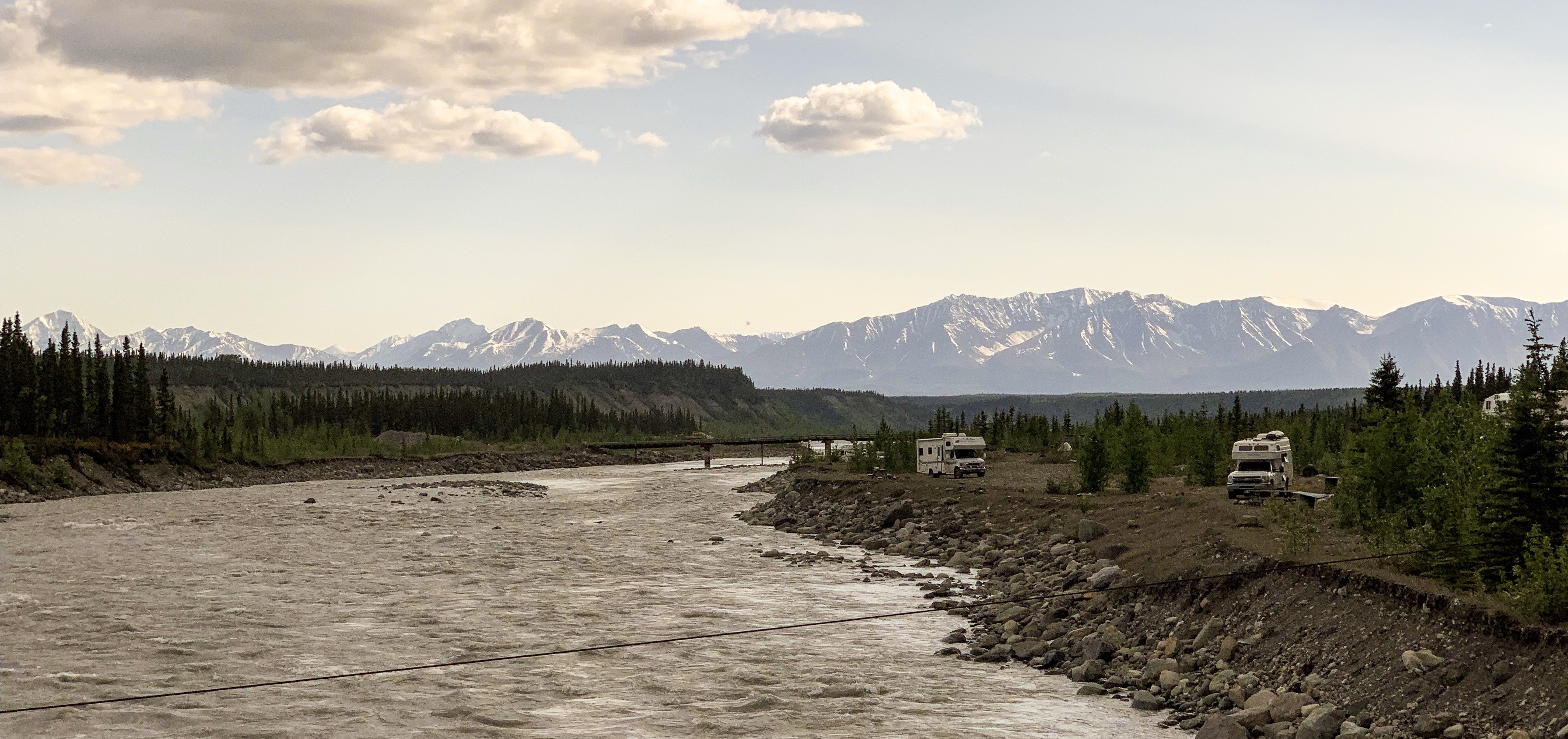
The McCarthy Road
“The 60- mile McCarthy Road winds deep into the heart of Wrangell- St. Elias National Park & Preserve. Once the gateway to tremendous fortunes, it is now your gateway to spectacular scenery and vast wilderness. For those willing to leave the pavement behind and brave the ruts and dust, this road provides access to the many natural and historic wonders of our largest National Park.Today’s McCarthy Road originated in 1909 as a railway constructed to support the Kennecott Copper Mines. Over 200 million dollars worth of ore was hauled from the Kennecott mill 196 miles to the port of Cordova. The railway operated successfully until abandoned in 1938 when large scale mining ended. Most of the rails were salvaged for scrap iron, and no longer maintained, the Copper River Bridge was soon destroyed by flooding.”
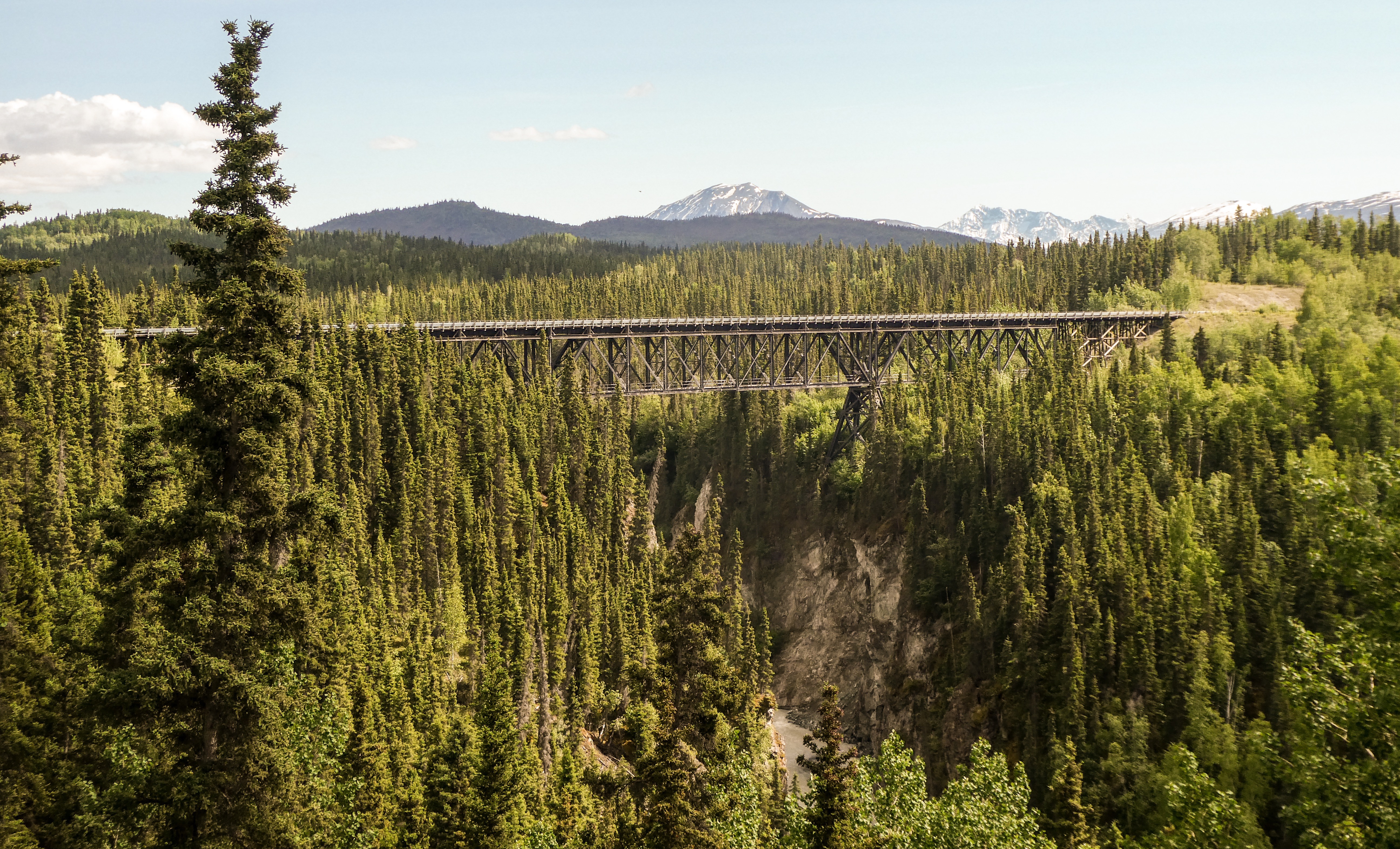
The Chitna River. Salmon are running now. Dip netters were catching hundreds just over one weekend. One lane Kuskalana Bridge 200-some feet above the river. Don’t look down!Kuskalana Bridge
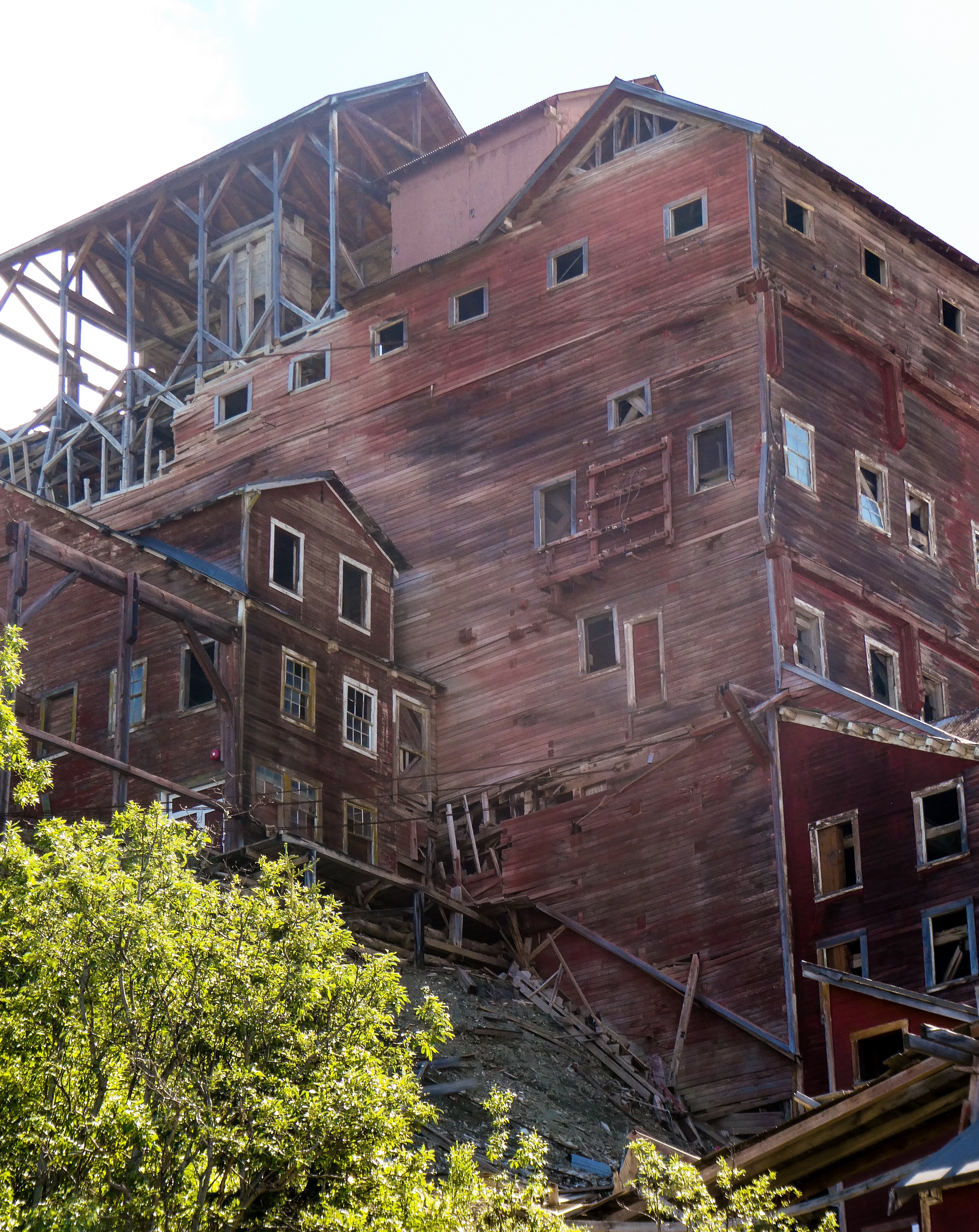
McCarthy and Kennecott
Partly because alcoholic beverages and prostitution were forbidden in Kennecott, McCarthy grew as an area to provide illicit services not available in the company town. It grew quickly into a major town with a gymnasium, a hospital, a school, a bar and a brothel. The Copper River and Northwestern Railway reached McCarthy in 1911.
In 1938, the copper deposits were mostly gone and the town was mostly abandoned. The railroad discontinued service that year. Over its 30-year operation, U.S. $200 million in ore was extracted from the mine, making it the richest concentration of copper ore in the world.
The old mine buildings, artifacts, and colorful history attract visitors during the summer months. The Kennecott and McCarthy area ranks as one of the United States’ most endangered landmarks by the National Trust for Historic Places. Emergency stabilization of the old buildings has been done and more will be required.
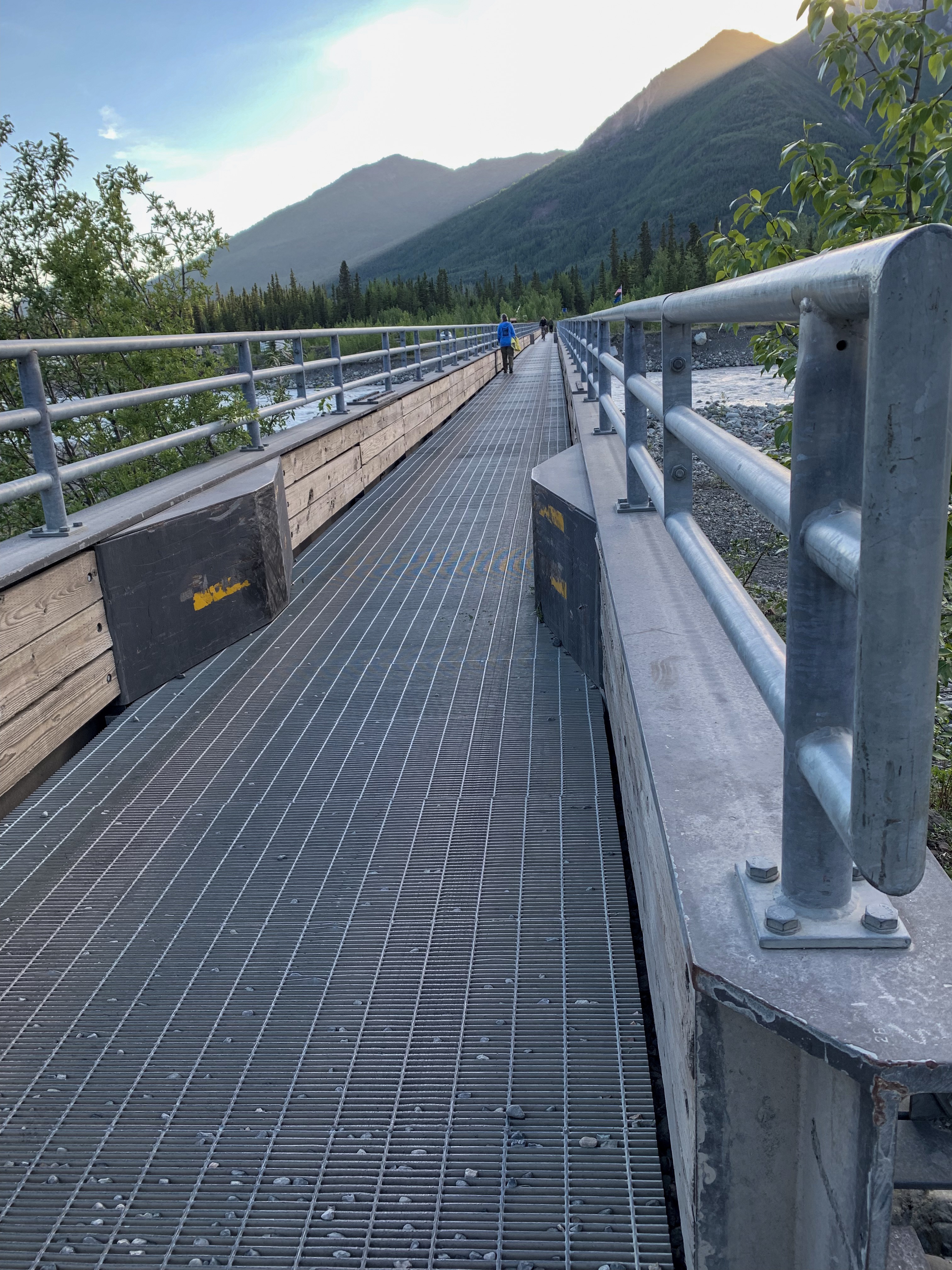
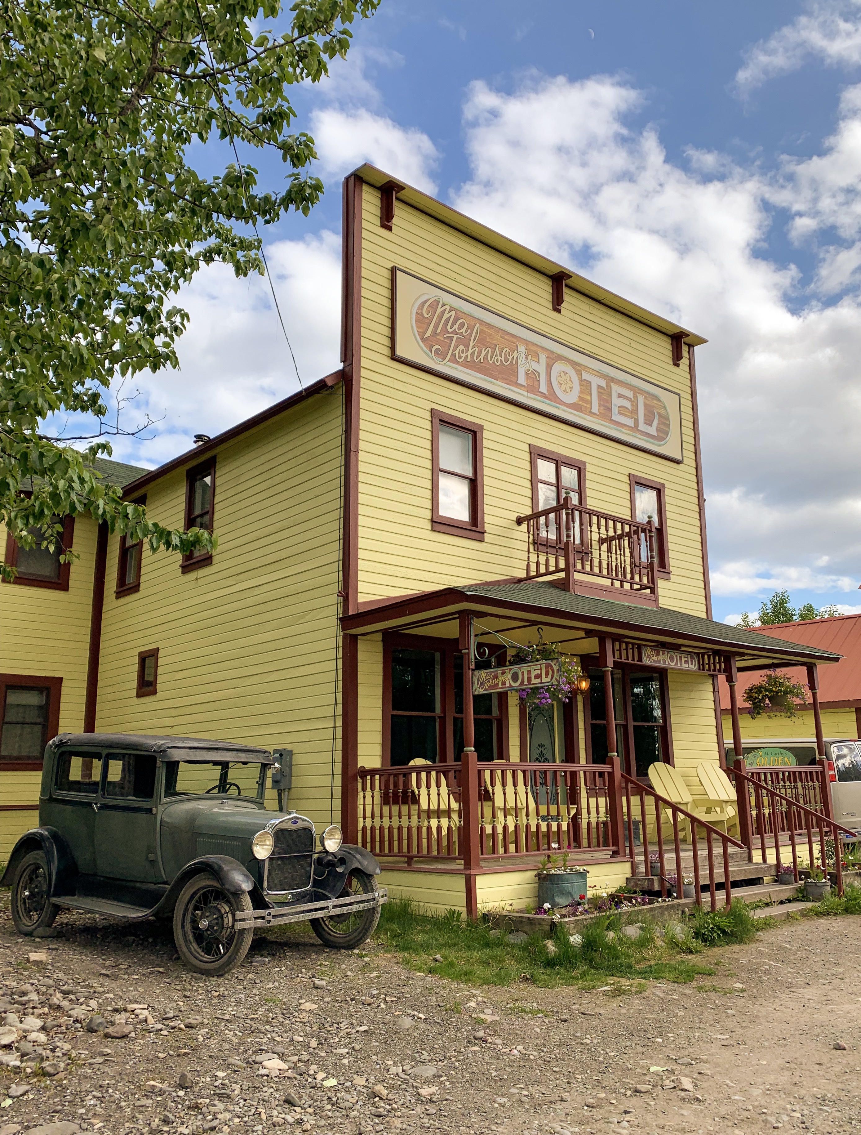
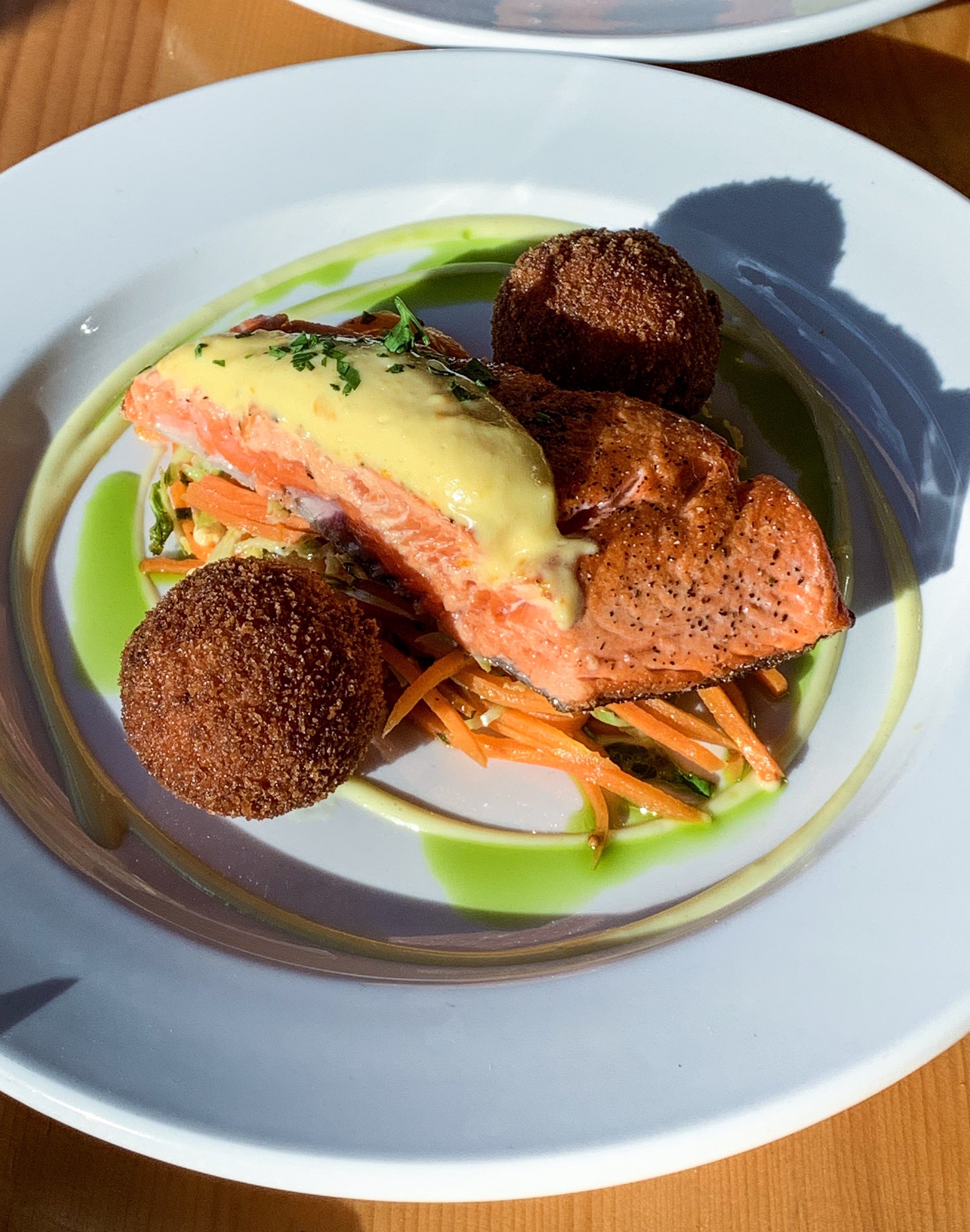
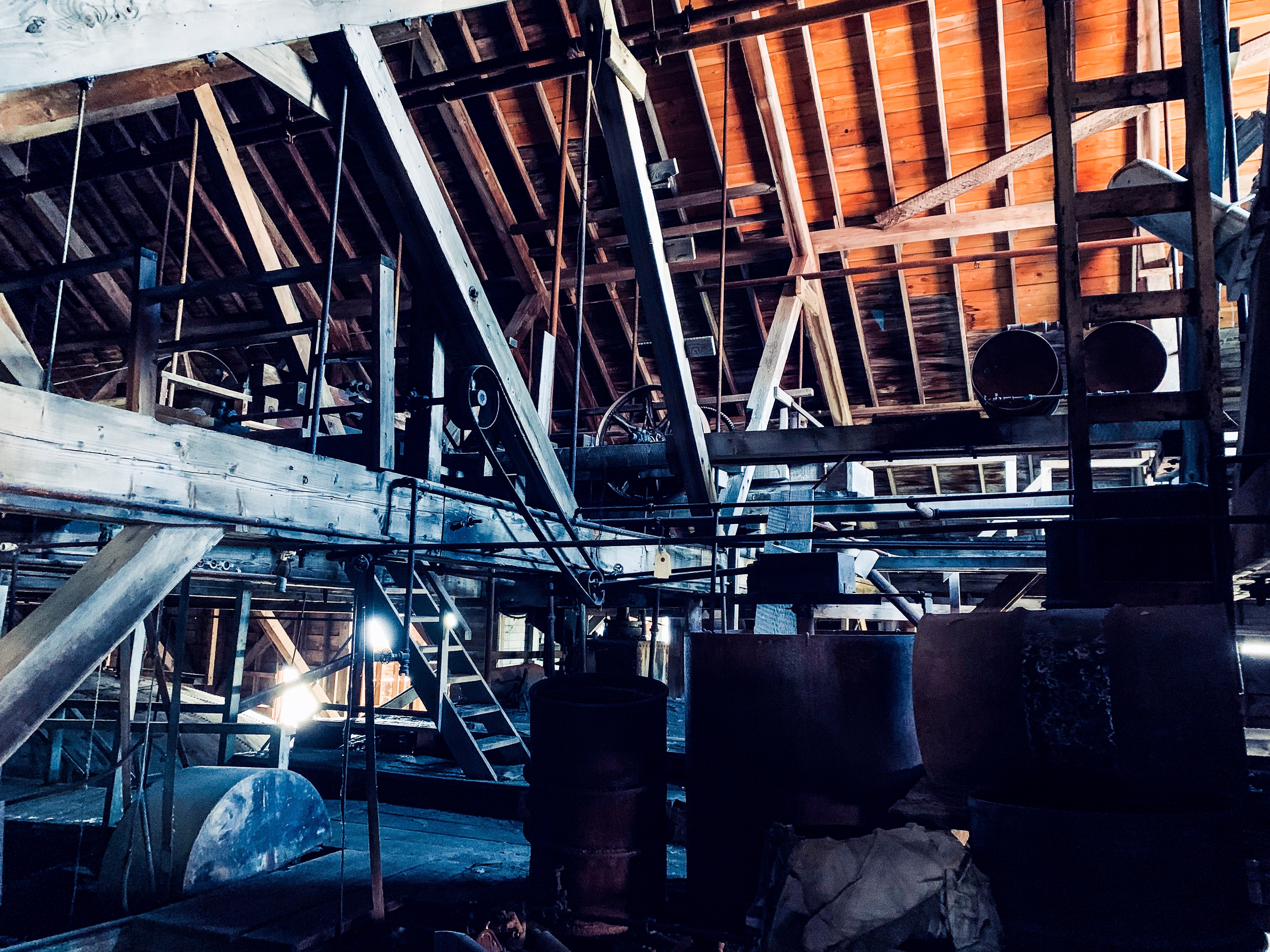
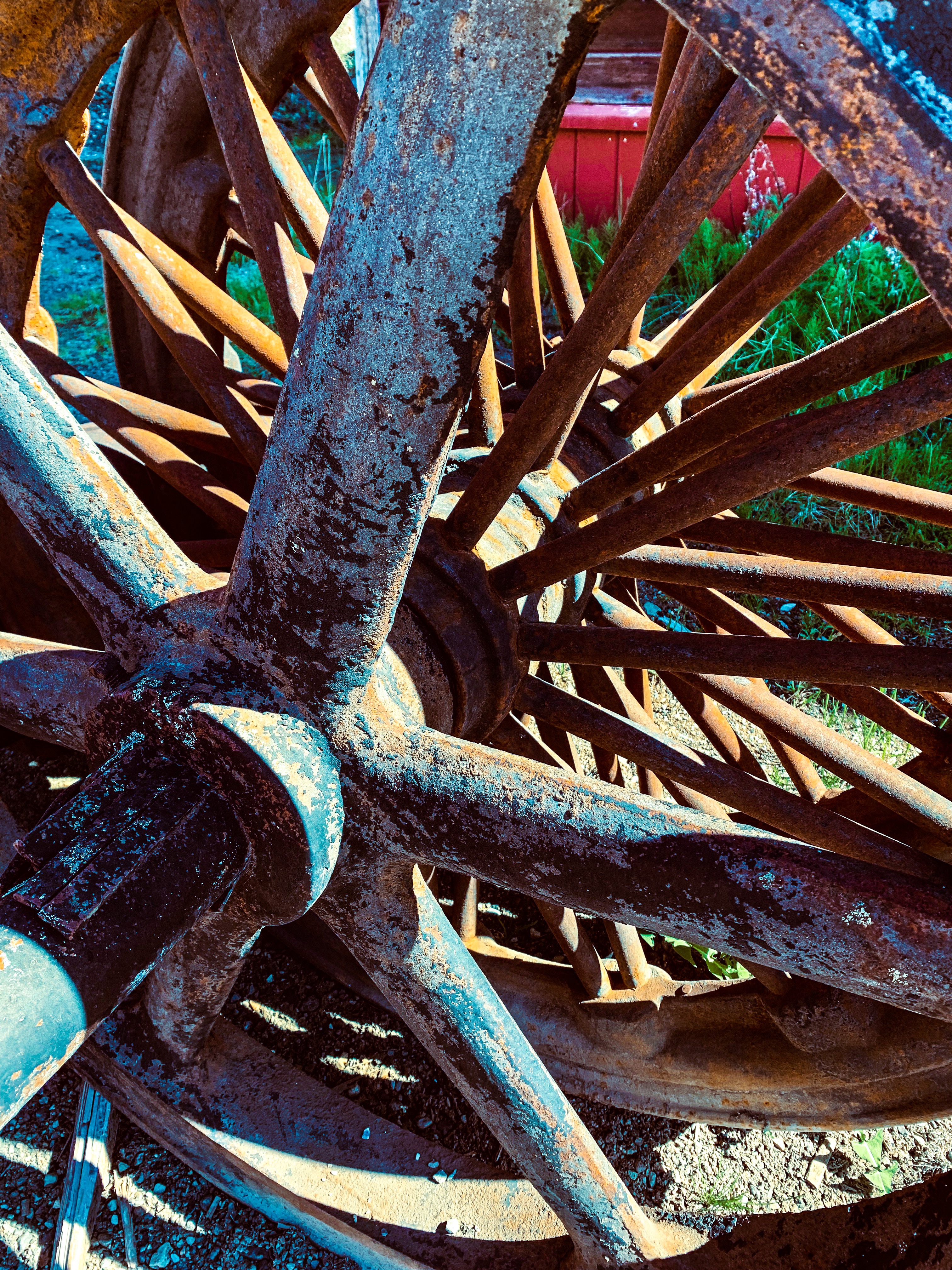
Camping on the Kennicott RiverVisitors must park outside town and walk across a footbridge 1/2 mile to townDowntown McCarthyFresh caught Copper River Sockeye Great view from campground outhouse Sunset on the Kennicott RiverWalking tour of Kennicott The old copper concentrator on the hillAbandoned mill equipment
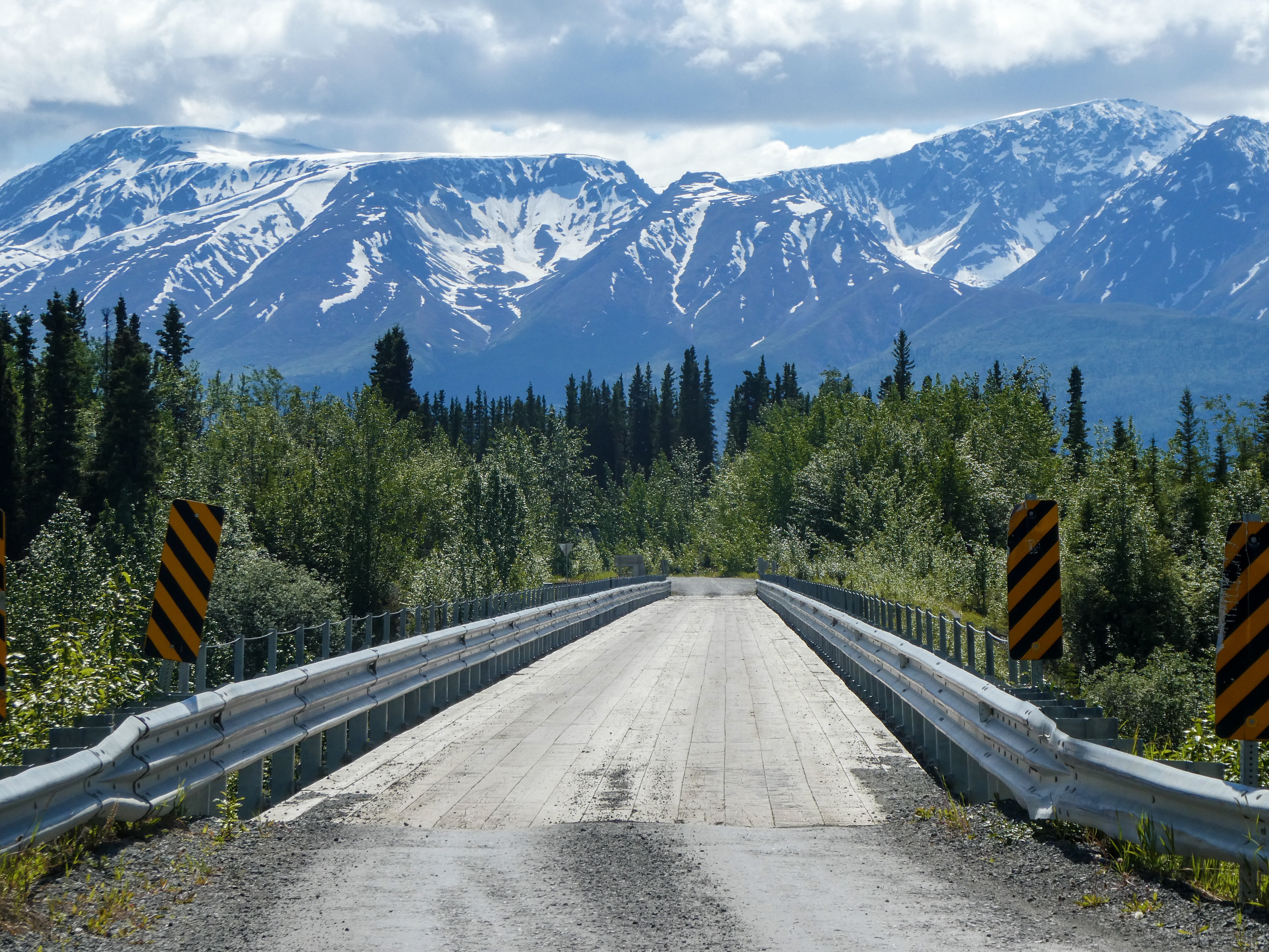
Photos from the drive to Valdez – absolutely breathtaking!
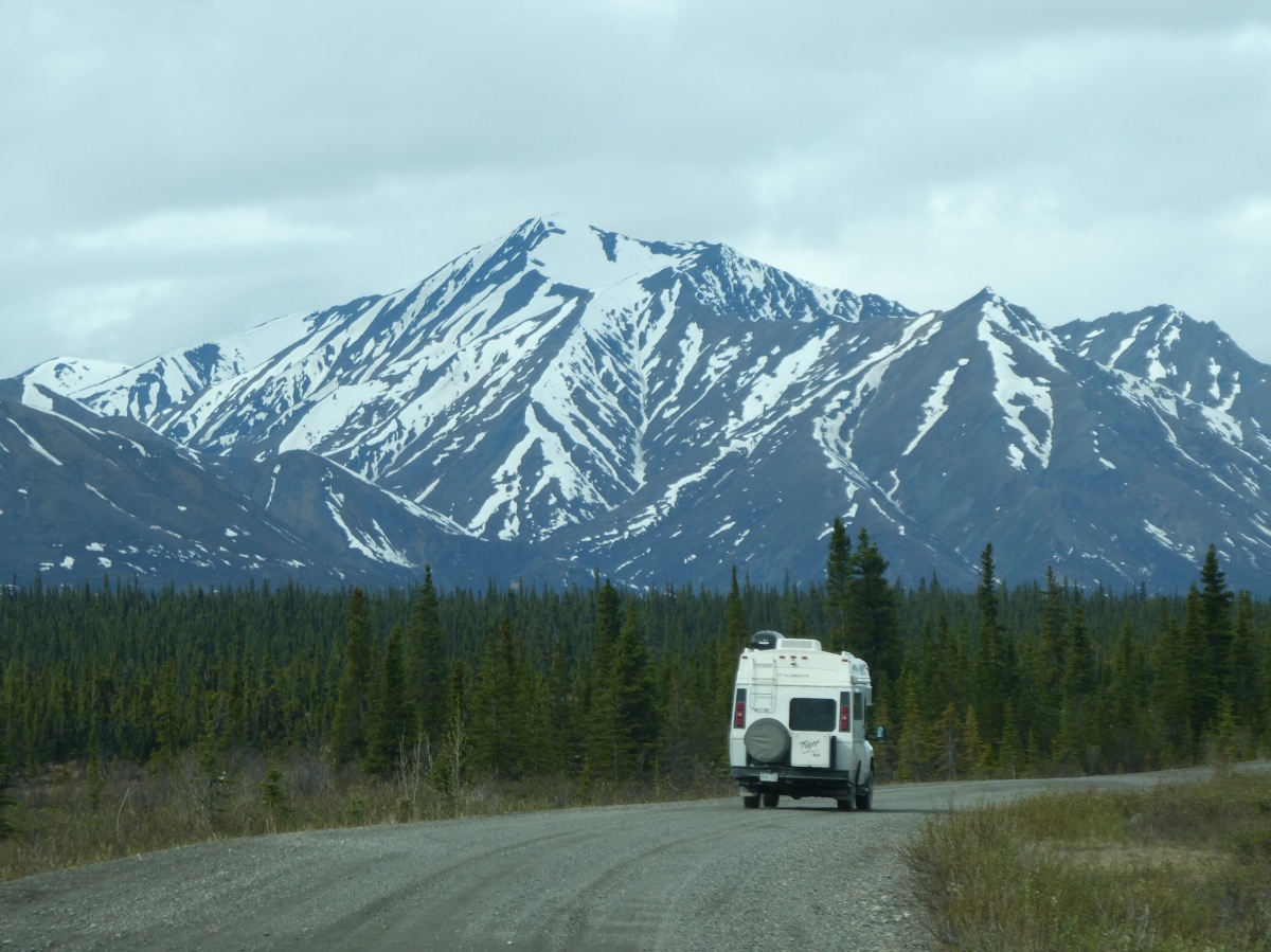
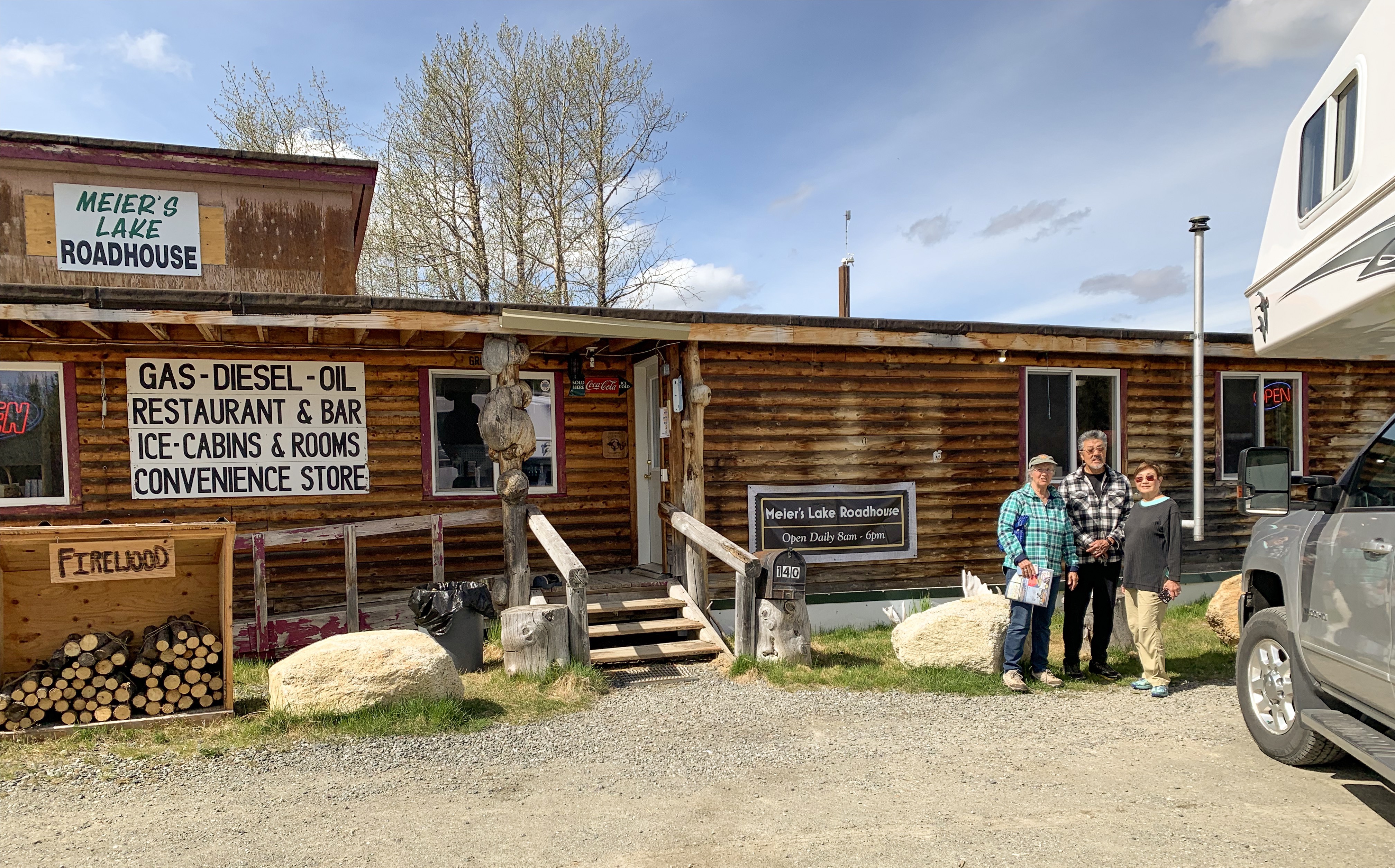
Meier’s Lake Roadhouse at the east end of the Denali Highway
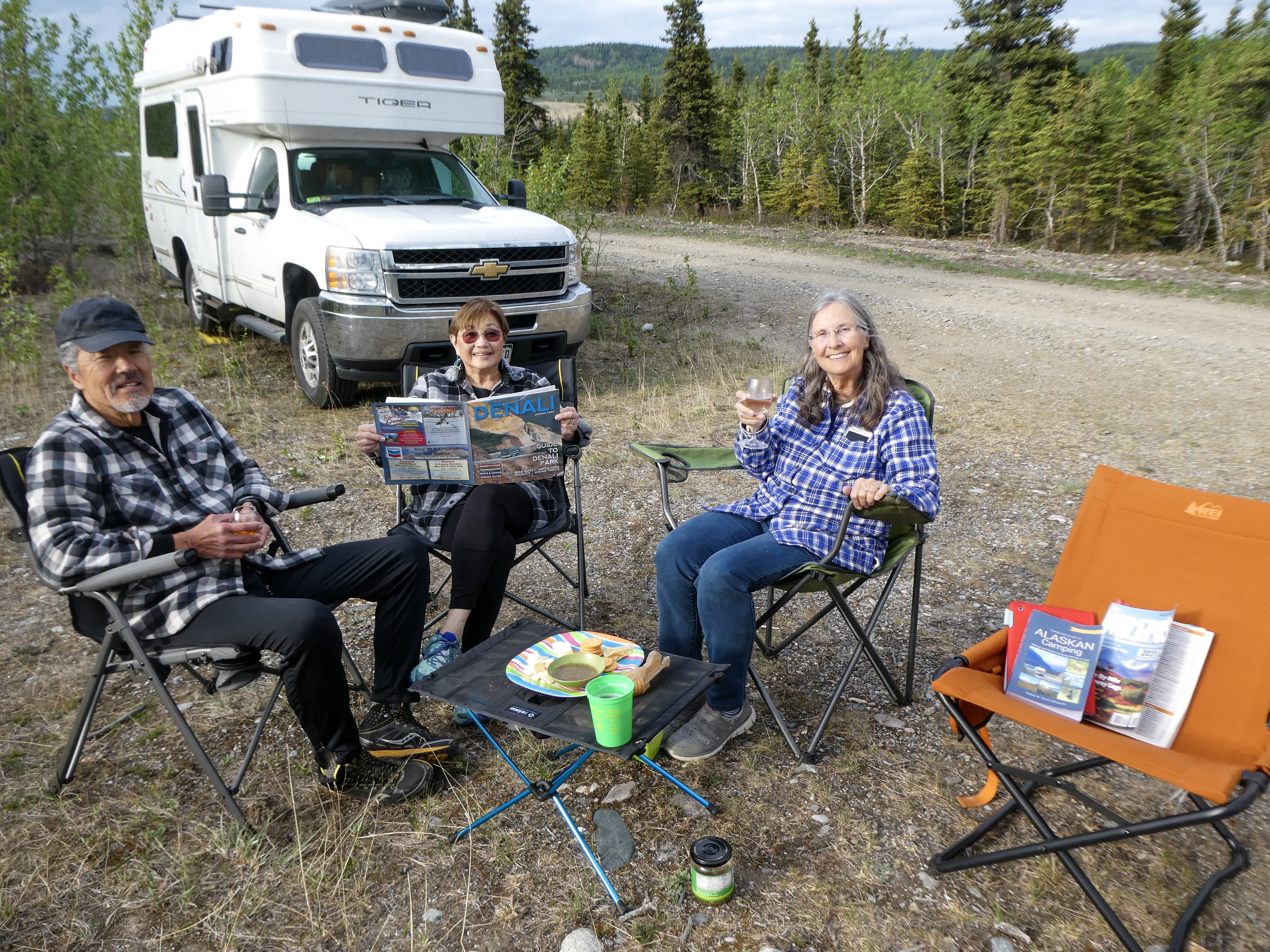
No internet or phone service since Haines. Generally great weather. Occasionally it rained. Generally warmer (in the 60’s) than home in Colorado.
Wikipedia:
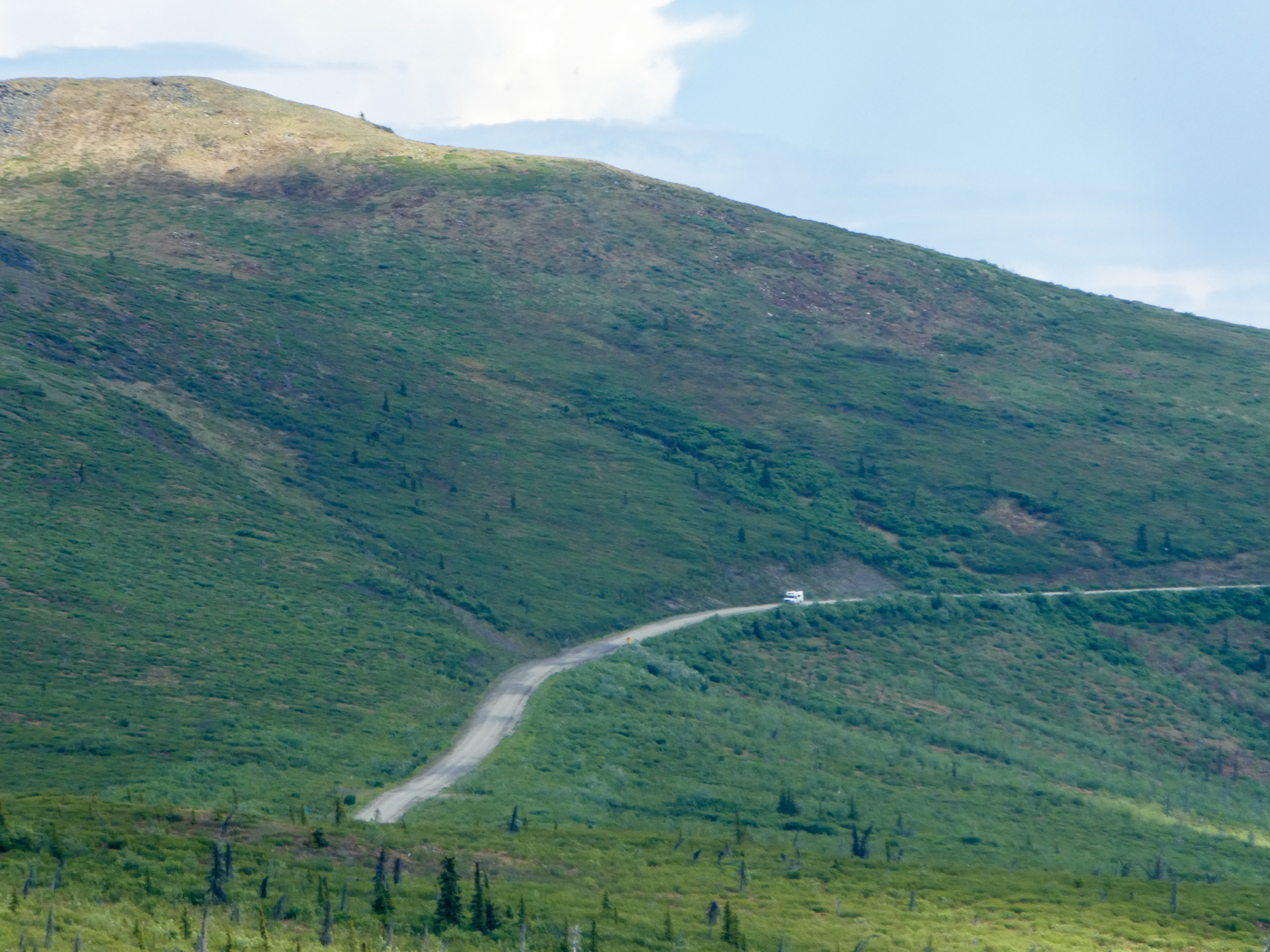
“The highway is now little used and poorly maintained, and closed to all traffic from October to mid-May each year. Only the easternmost 21.3 miles and westernmost 2.6 miles are paved; whether the remainder should be paved as well is a continual source of debate. Washboarding and extreme dust are common, the recommended speed limit is 30 mph
Winter travel on the Denali Highway is exclusively by snowmobile and dogsled. Automobile travelers are severely discouraged from attempting to traverse the road in winter; as recently as 1996 three persons died from exposure when snows blocked their progress. The road is cleared by DOT late in April and generally is passable by non-4WD from then until the first snows close it, usually late September on the eastern, tundra end and late October-early November on the lower, boreal forest western end.”
The description on the internet of the Denali Highway is scary, but the roads were actually better than the county roads to our cabin in Colorado!
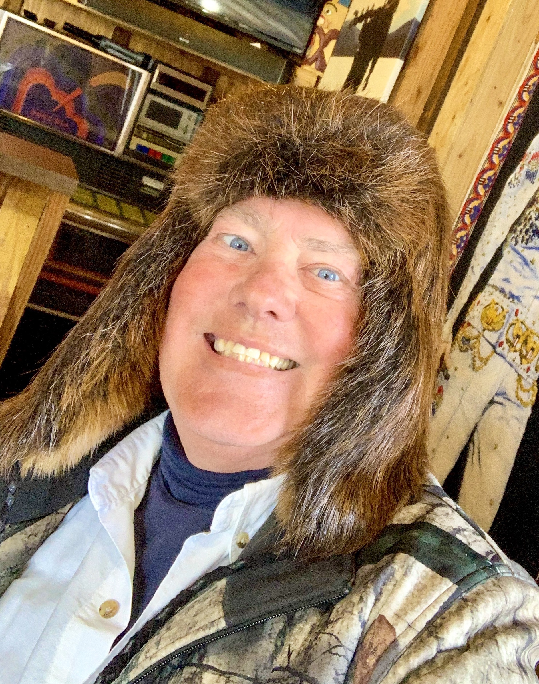
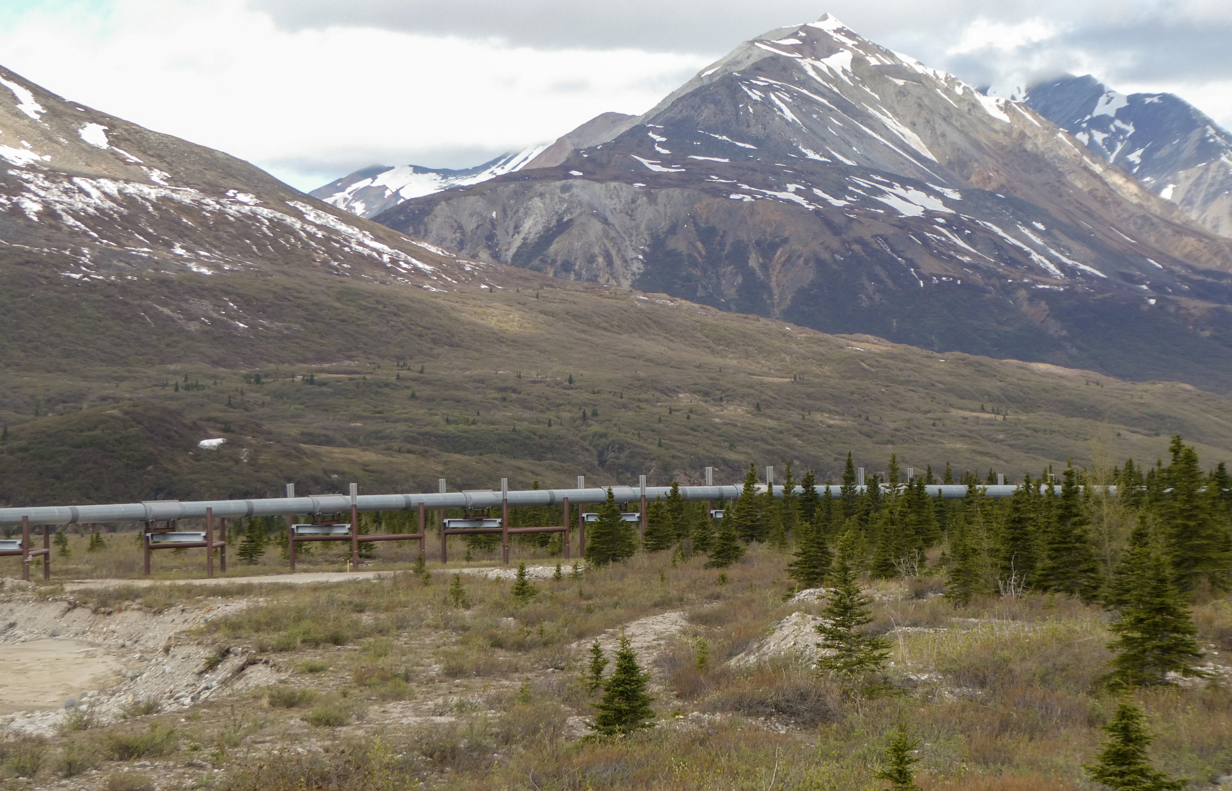
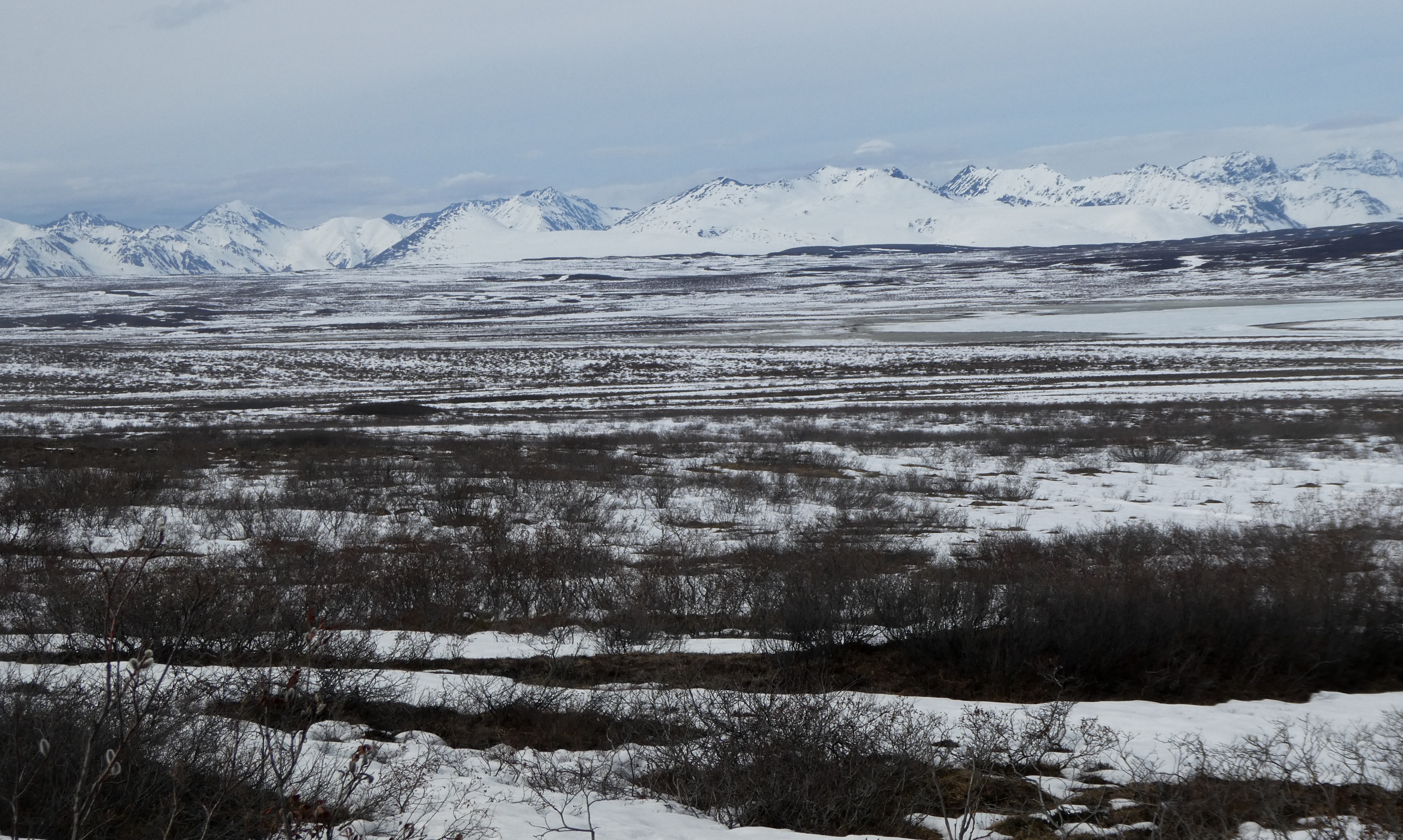
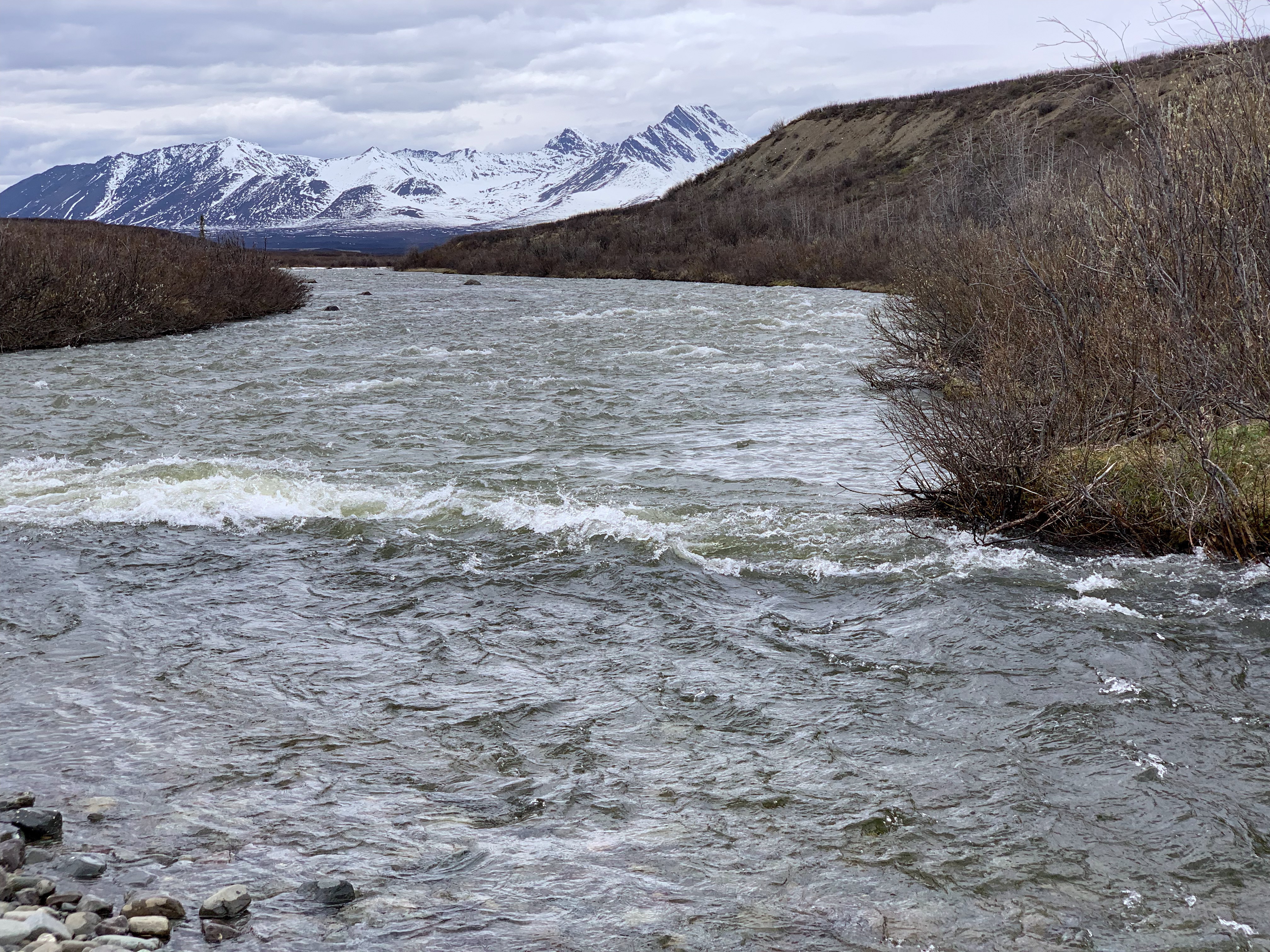
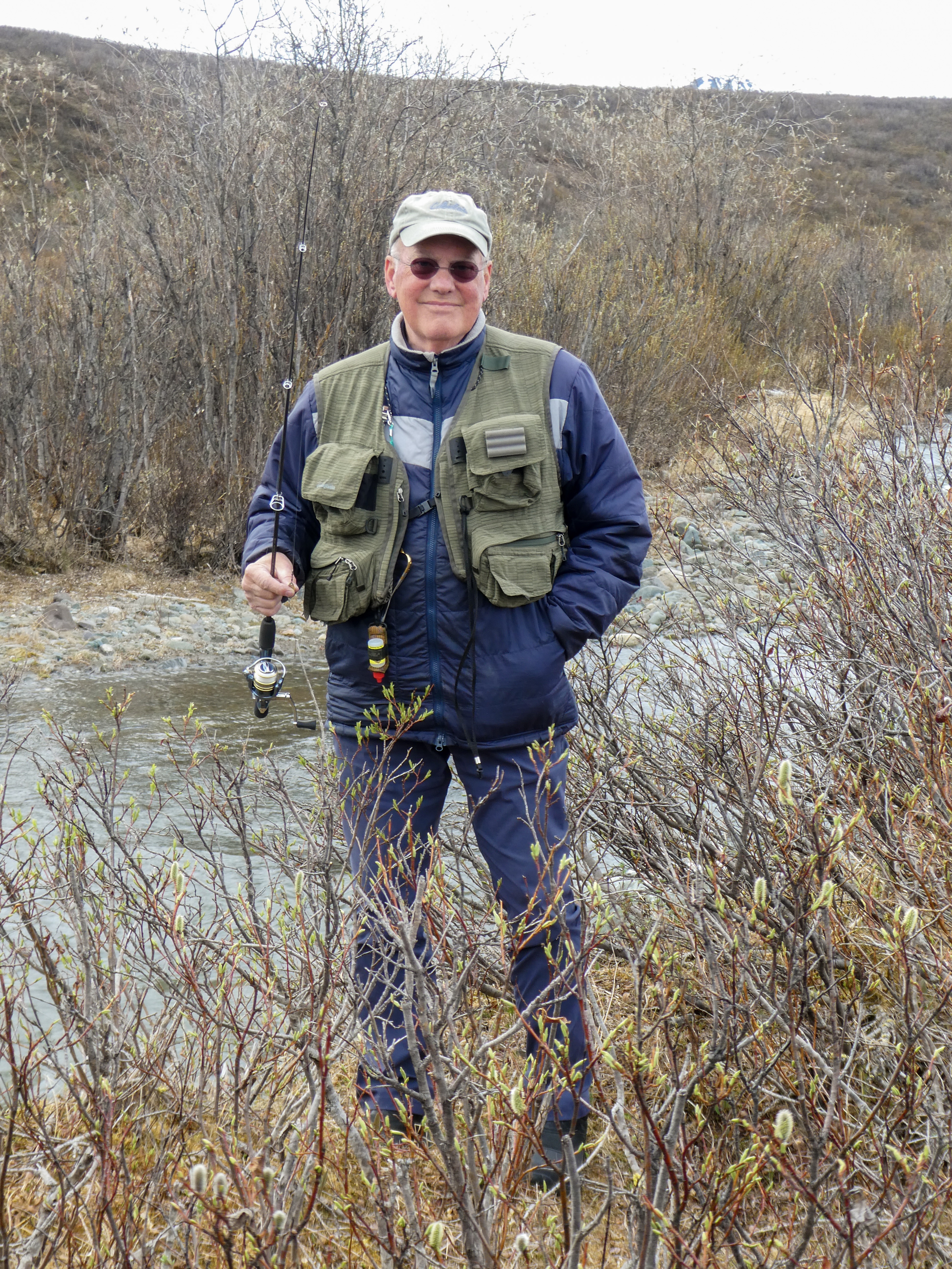
Ray, bemused by the 1970’s era gas pumps which work better in the extremely cold winter temperatures Strawberry rhubarb and berry pie with homemade vanilla ice cream For $330 I could have purchased an authentic beaver hat. Warm! and I look like a rock star, don’t I?The Trans Alaska Pipeline. A scar upon the land.Maclaren Mountains as we climb to the pass.Maclaren summit Second highest in AlaskaCamping next to Clear CreekSome fishin’ but no catchin’ on Clear Creek.
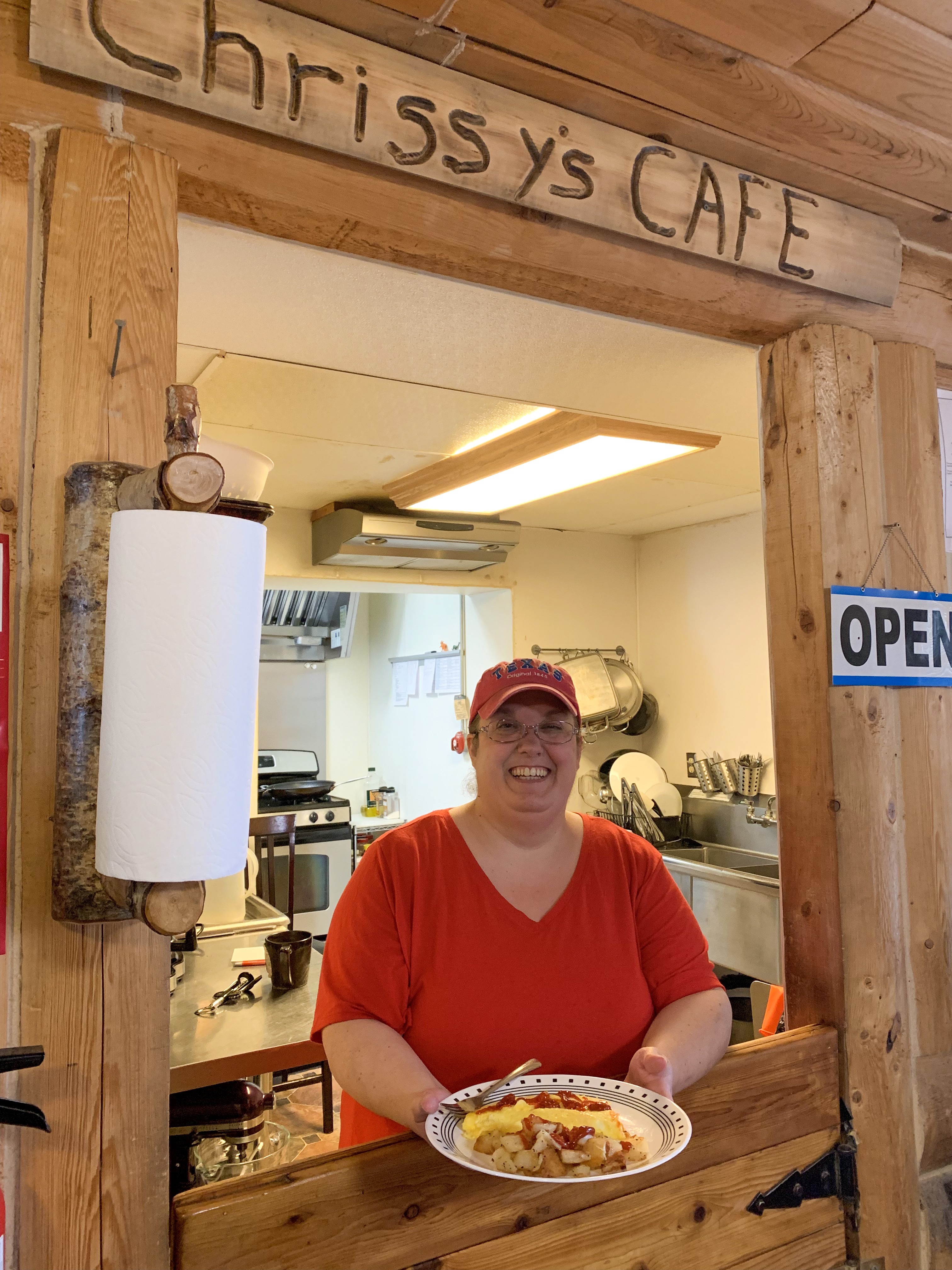
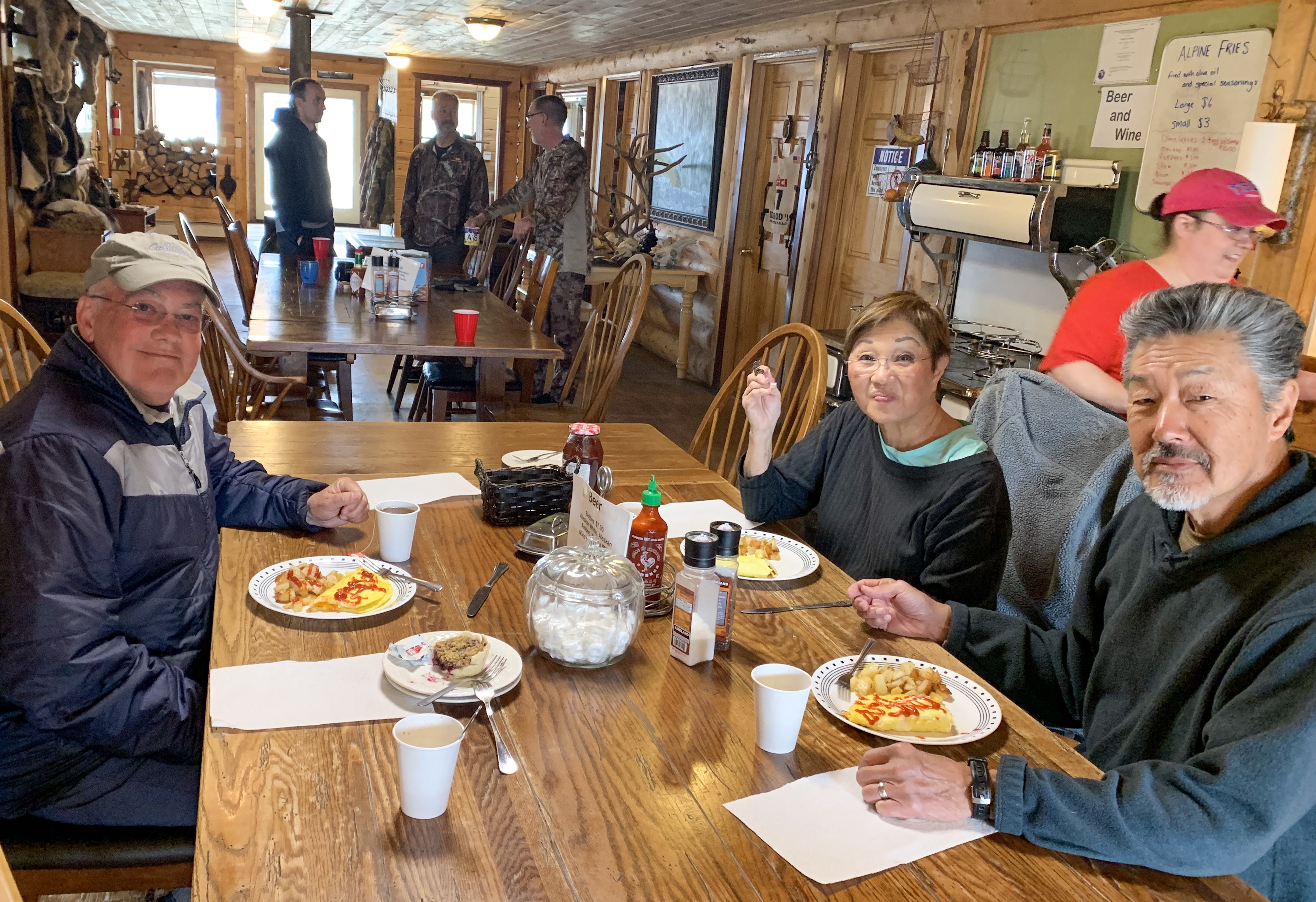
Breakfast and Pie at the Alpine Lodge:
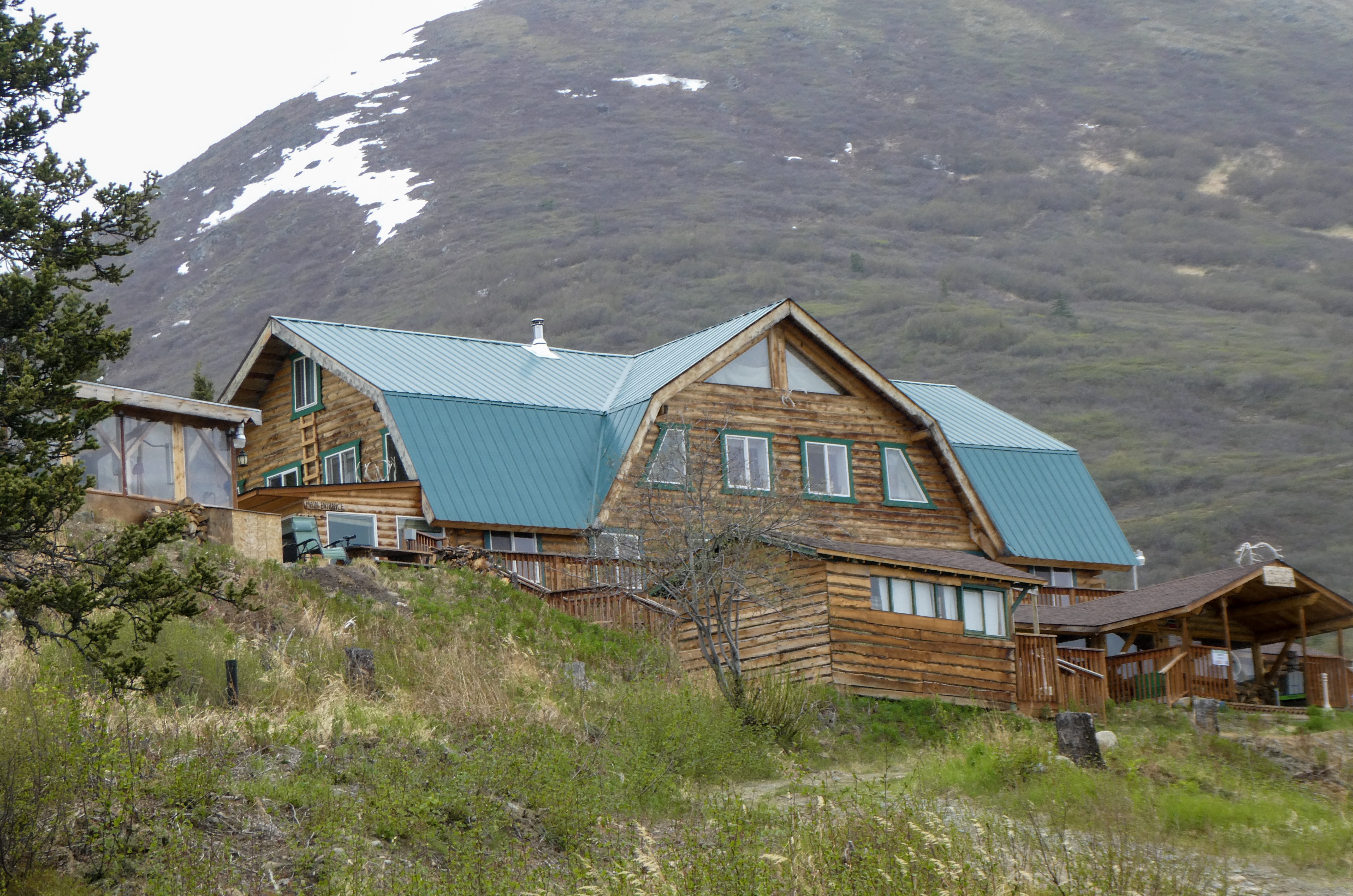
The Alpine Lodge
“We are a wilderness lodge in remote Alaska. We are open year round, every day. Alpine Creek Lodge is on the Denali Highway, so travelers can get there in the summer via a gravel road. 68 miles West of Paxson Alaska, and 67 miles East of Cantwell, Alaska. In the summer, we offer hiking tours, photography tours, wildlife viewing tours, gold panning tours, fishing tours and much more! Fully guided, or you can do it yourself! In the winter, the road is not plowed from October 15th to May 15th. During this period, snow machine, dog mushing, skiing, etc are the only way to get to us. Drop off and pick up are available in Cantwell, Alaska via snow machine or tracked vehicle. We are on the South side of the Alaska Range, in the Clearwater Mountains, and this is where you will find real Alaska!”
While we visited the Alpine Lodge, we spoke with the owner and hunters staying there who were harvesting excess grizzly bear (supervised by Alaska game and fish). Grizzlies had almost eliminated the moose population and cameras mounted on grizzlies had evidenced killing sprees of moose calves, fox, Trumpeter Swans, Ptarmigan, beavers and other game animals. The grizzlies killed without eating, then moved on to the next opportunity.
In the winter, the Alpine Lodge gets fresh food and supplies every couple weeks from Cantwell (67 miles to the west). They have a Jeep fitted with tracks (a $10,000 accessory) allowing then to travel the Denali Highway over the snow where otherwise only dog sled mushers or snow machines can go.
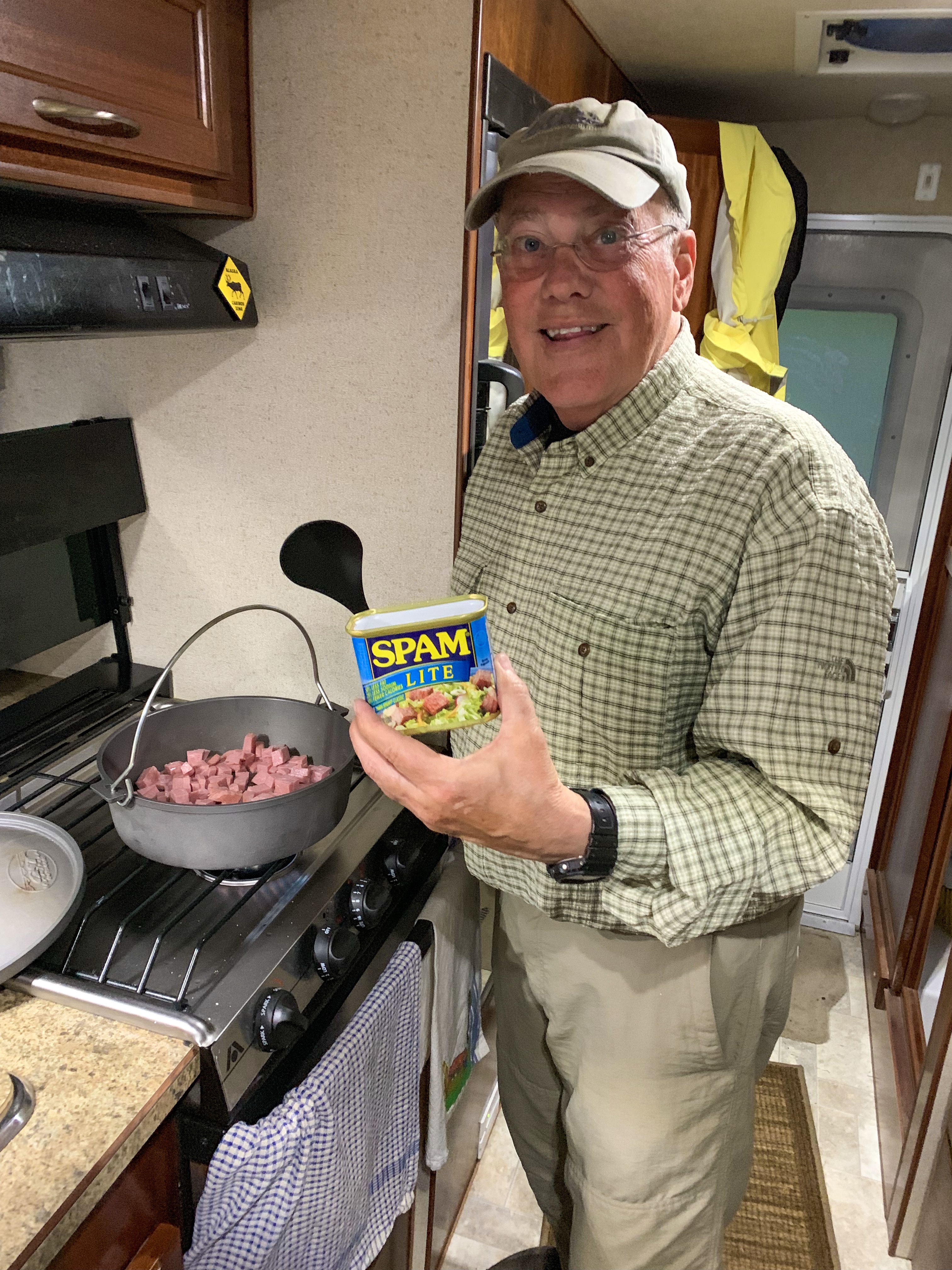
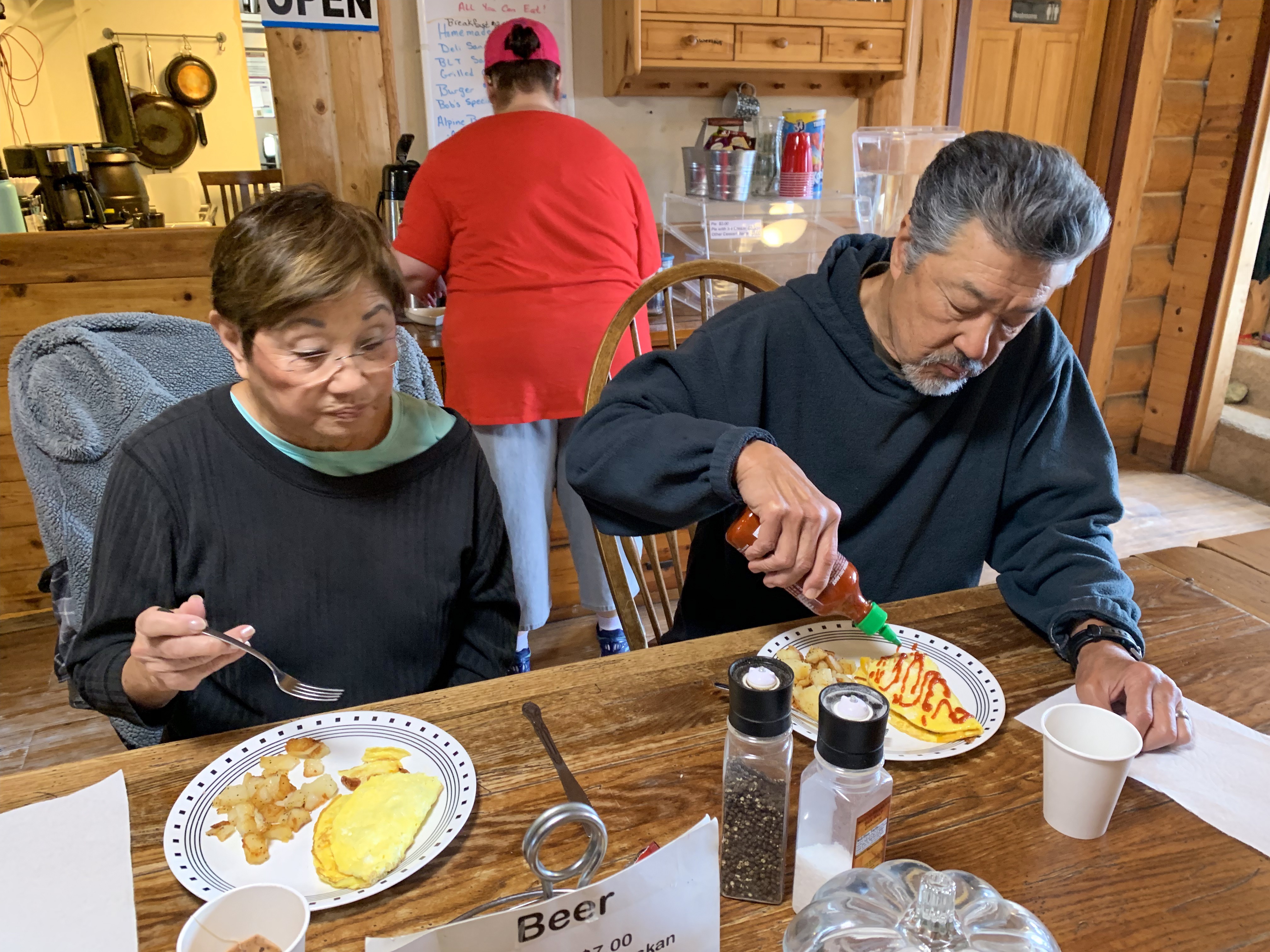
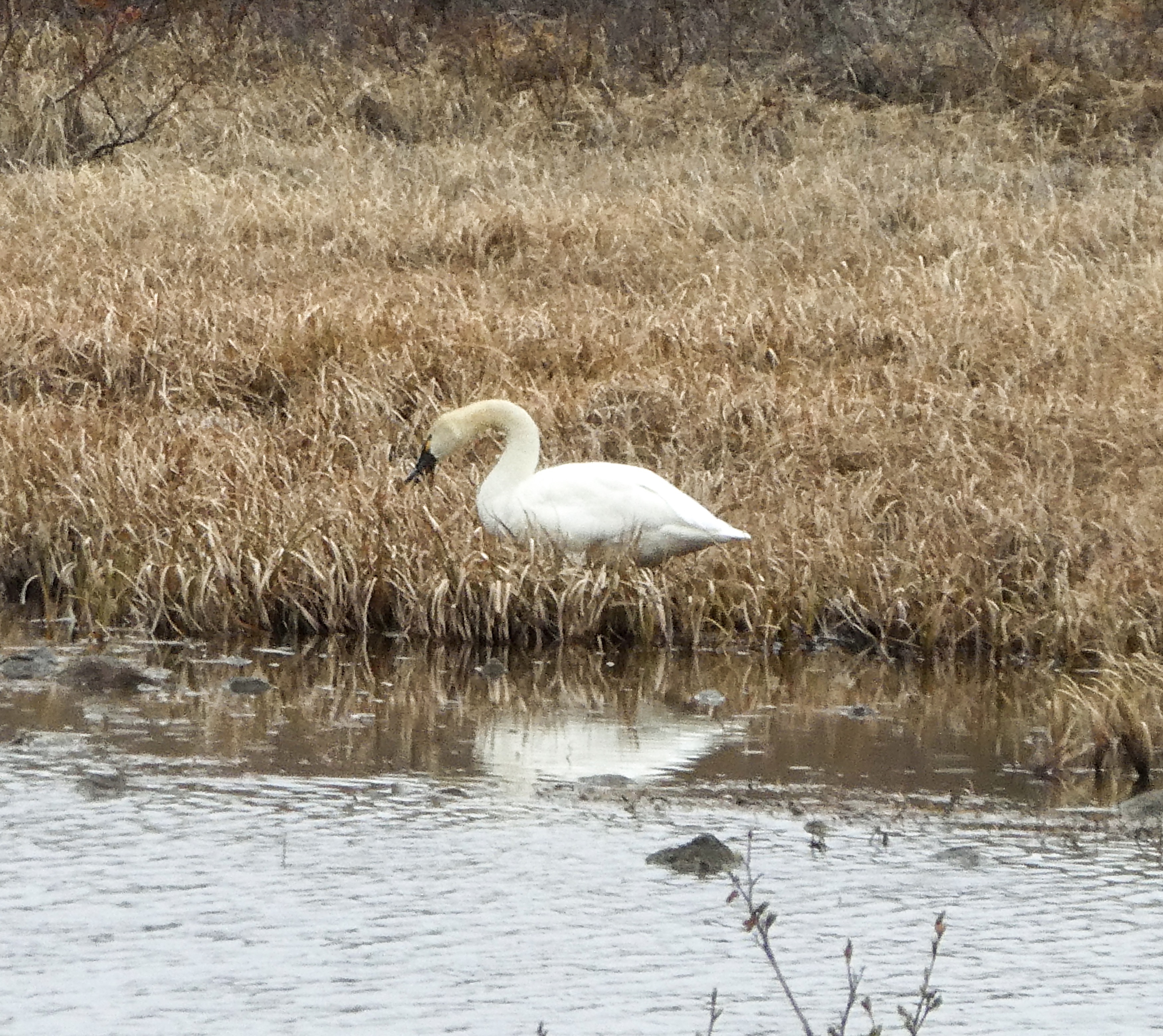
Chrissy served up omelettes, spam, hash browns and apple and berry pie!Ray decorating his omelette with Sri RachaOh yes, did I mention there was pie? Best in Alaska so far!Trumpeter Swan, one of many we saw along the Denali Highway Campsite on Seattle Creek “Just singin’ in the rain”Getting close to the end of the Denali Highway Our first sight of Denali, the mountain, wreathes in cloudsDenali National Park
After disembarking from the Alaska Ferry and securing our campsite, we walked 50 yards to the Lighthouse Restaurant, where we met our wonderful waitress, Tiffany. This funny young lady recommended our best two meals thus far: A smoked salmon hoagie one night and incredibly wonderful salmon fish and chips washed down with an Alaska Brewing Company Amber Beer the next.
Haines is the “other” southeast town besides Skagway, having a connection to the road system. All other towns are serviced by ferry. Haines does limit cruise ships to a couple per week, so it’s much less cheesy than Ketchikan or Skagway.
Main Street Haines, Alaska Great views!Tiffany, our waitress and entertainer Shirley plays it straight
Breakfasting at the Rusty Compass Café, Lee Robinson (son of Shirley’s friend Didi Robinson) served up one of the best caramel rolls we have ever eaten. Thick gooey caramel sauce, savory bread dough and a touch of cinnamon. After visiting a few museums and gift shops in town and purchasing my Alaska Fishing License (more on this later) we headed out of town to explore two nearby state parks Chilkoot and Chilkat, in opposite directions.
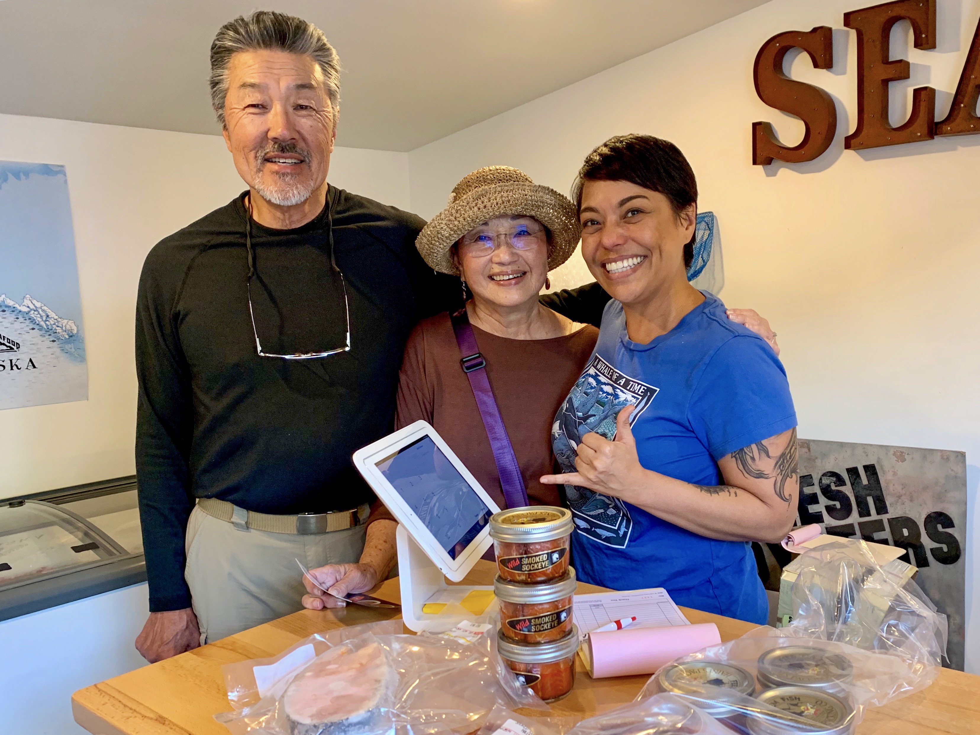
Haines Packing Company
On the way to Chilkat we stopped at the Haines Packing Company (in operation since 1917), hoping to find local smoked salmon. To Ray and Shirley’s surprise, the woman helping us turned out to be Hawaiian from the big Island. What a sweetheart! Jolene taught us which salmon was the tastiest, fattiest and yummiest (King and Coho). We bought frozen King Salmon steaks for later grilling (we are too early for fresh salmon as the runs are typically June-September), Smoked Coho fillets and jarred Sockeye for gifts (we will see if any makes it home).
Jolene, from Hawaii, serving up tasty local salmon
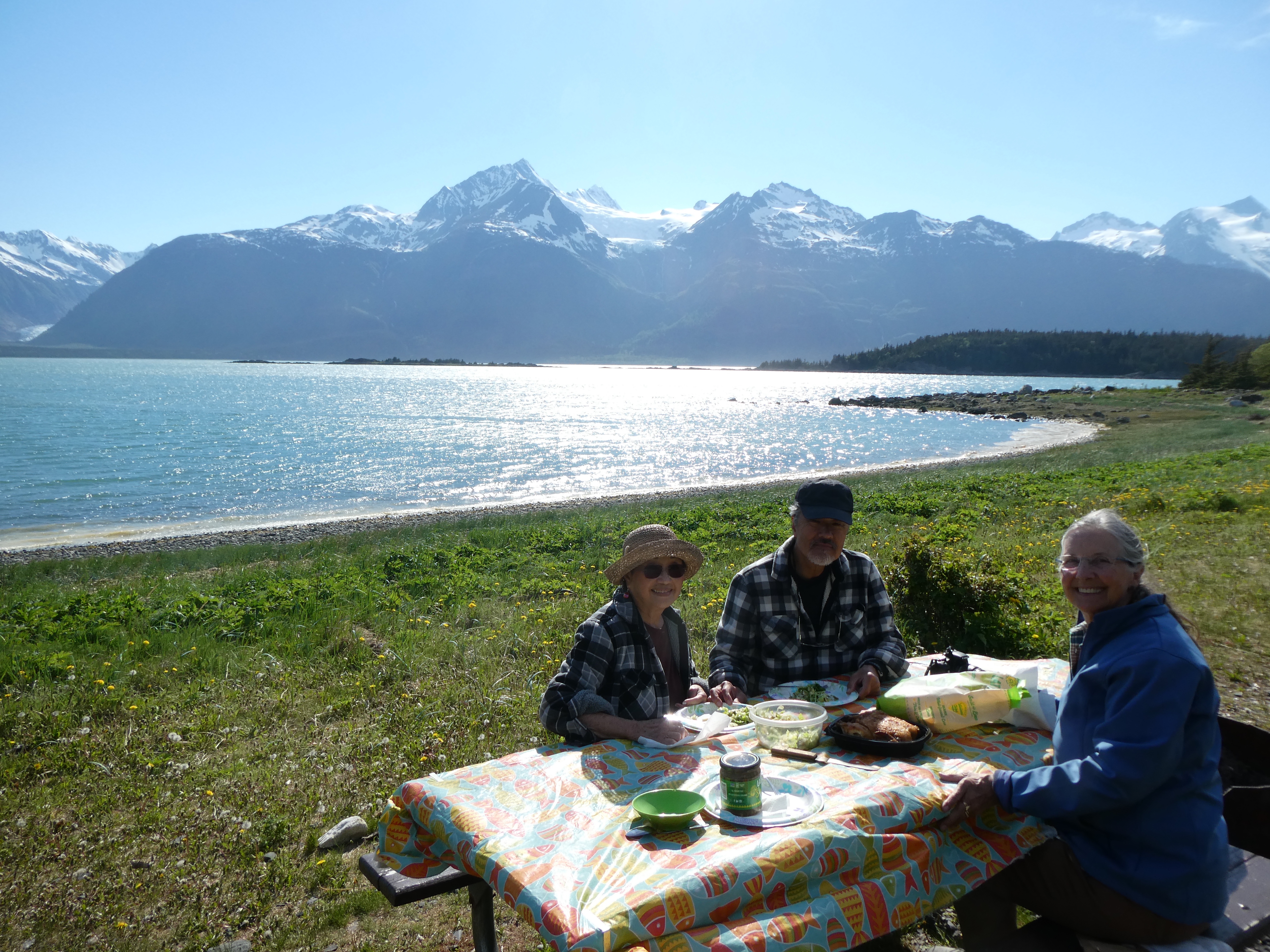
After exploring Chilkat State Park, we opted for a scenic dinner on the River.
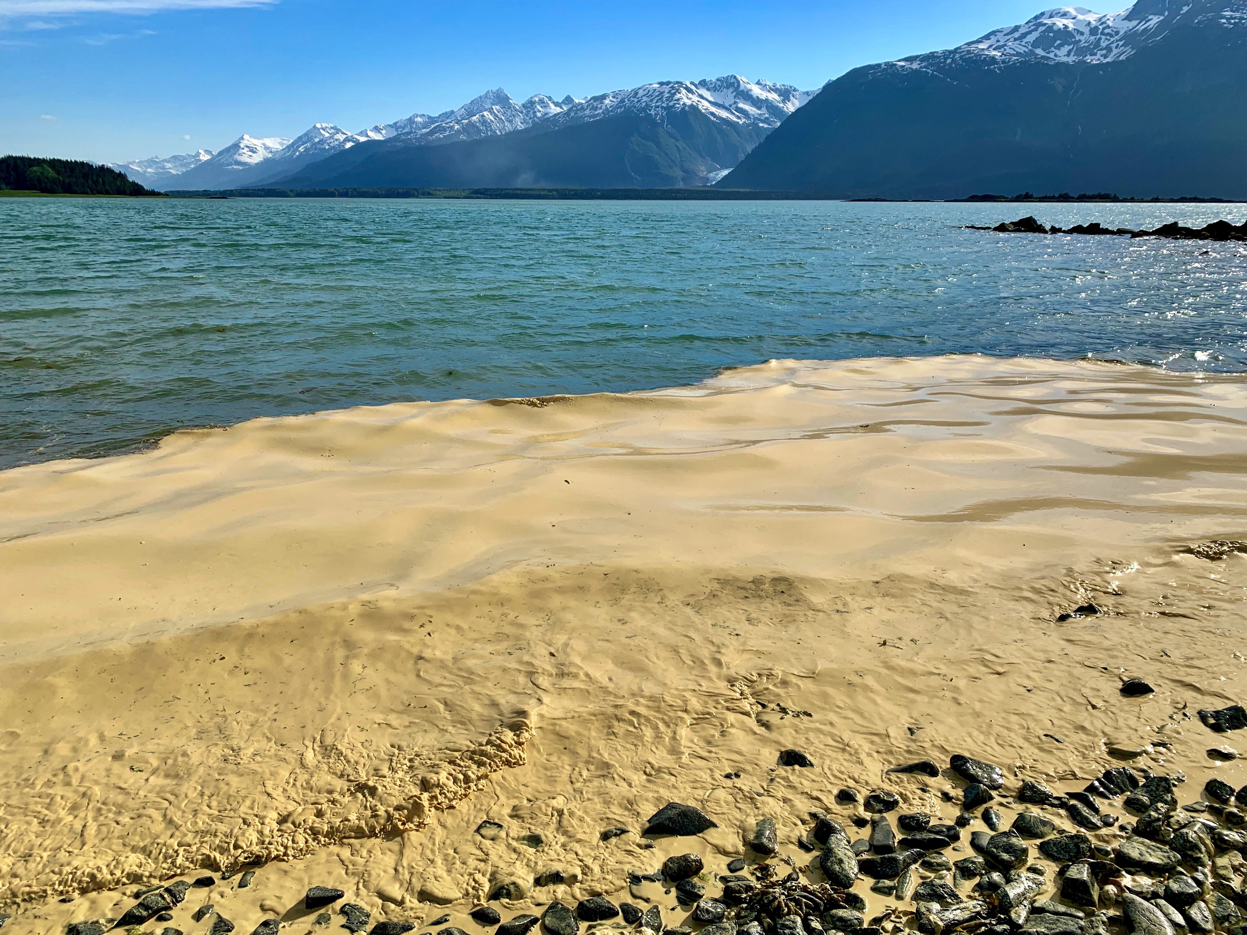
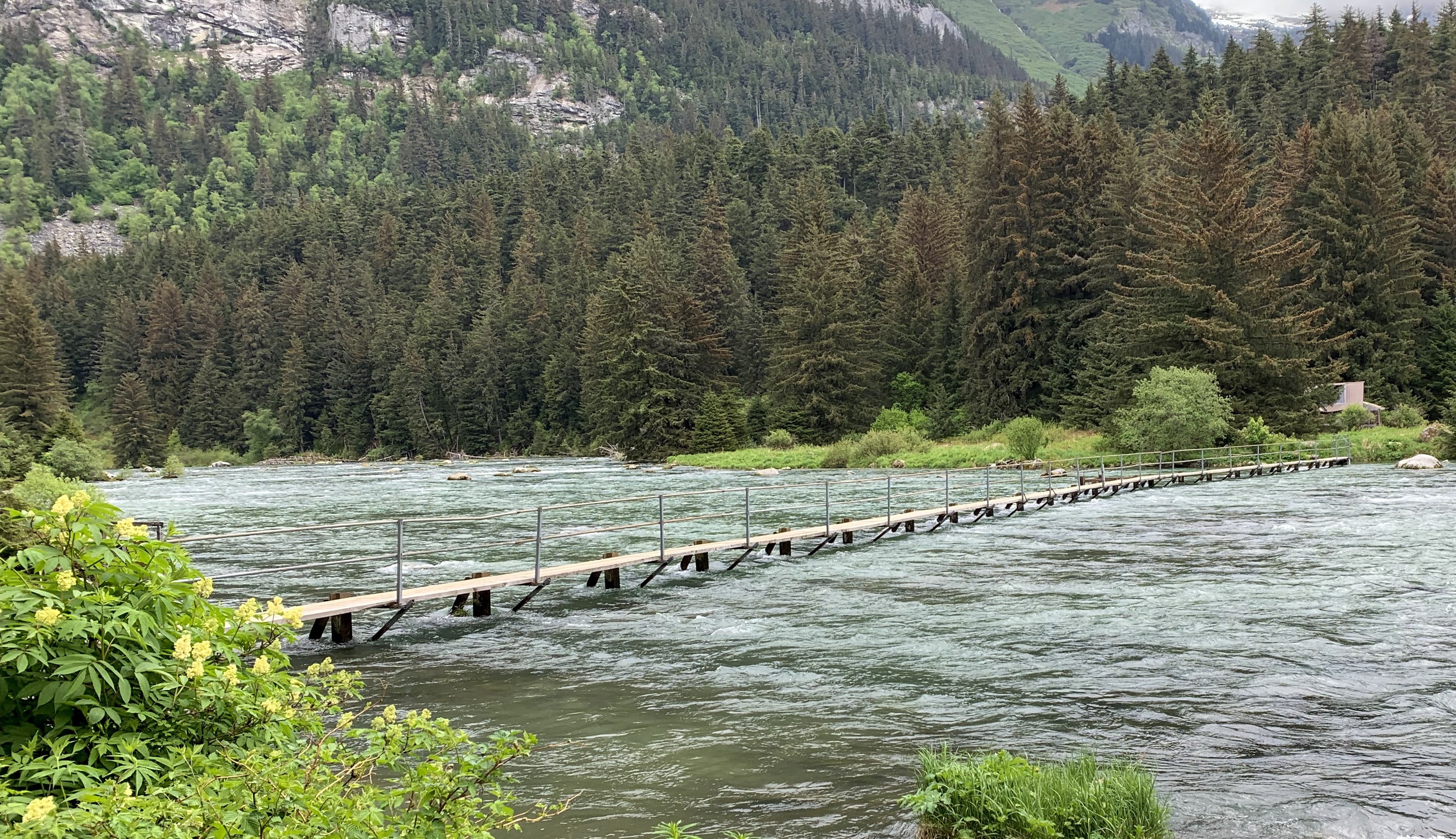
Dinner on the Chilkat RiverAn early spring this year brings out copious amounts of Sitka Spruce tree pollen, collecting in the river Footbridge to a cabin across the Chilkat River
Driving back through Haines we stayed at Chillkoot Lake State Park in campsites overlooking Chilkoot Lake. So far, Alaska campgrounds have not been crowded at all.
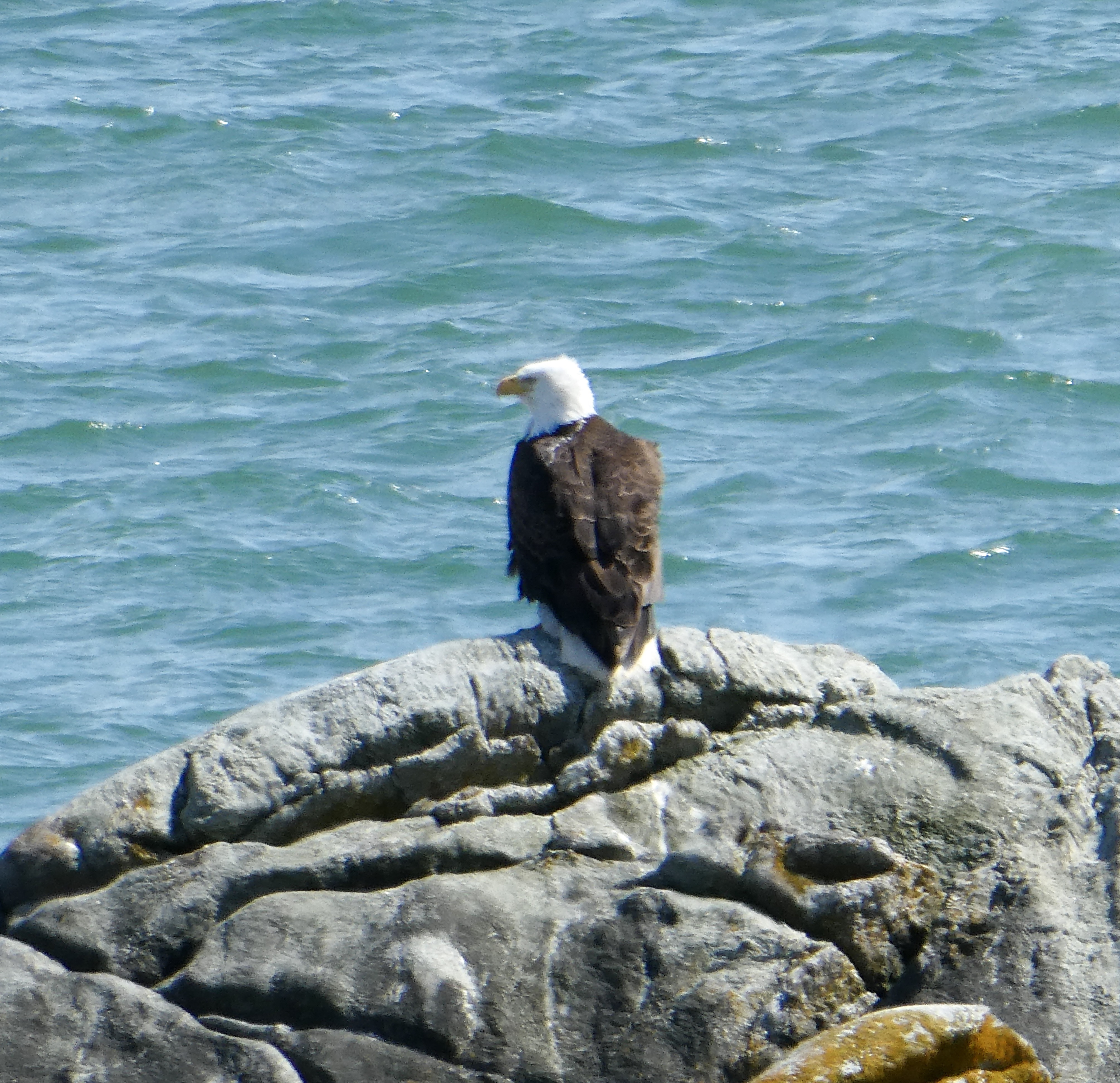
Chilkoot LakeMy artsy? photo of Chilkoot LakeA Bald Eagle stops by our campsite
On our way north, we stopped at the Jilkaat Kwan Heritage Center (A Tlingit native culture center). A nice young Tlingit woman gave us an informal tour and shared native methods for processing traditional foods such as hooligan fish (similar to smelt), jarred moose meat, soapberry and seal oil. When attending college in Oregon, her family regularly sent her “care packages” of moose and seal oil. She likes seal oil on her potatoes!!
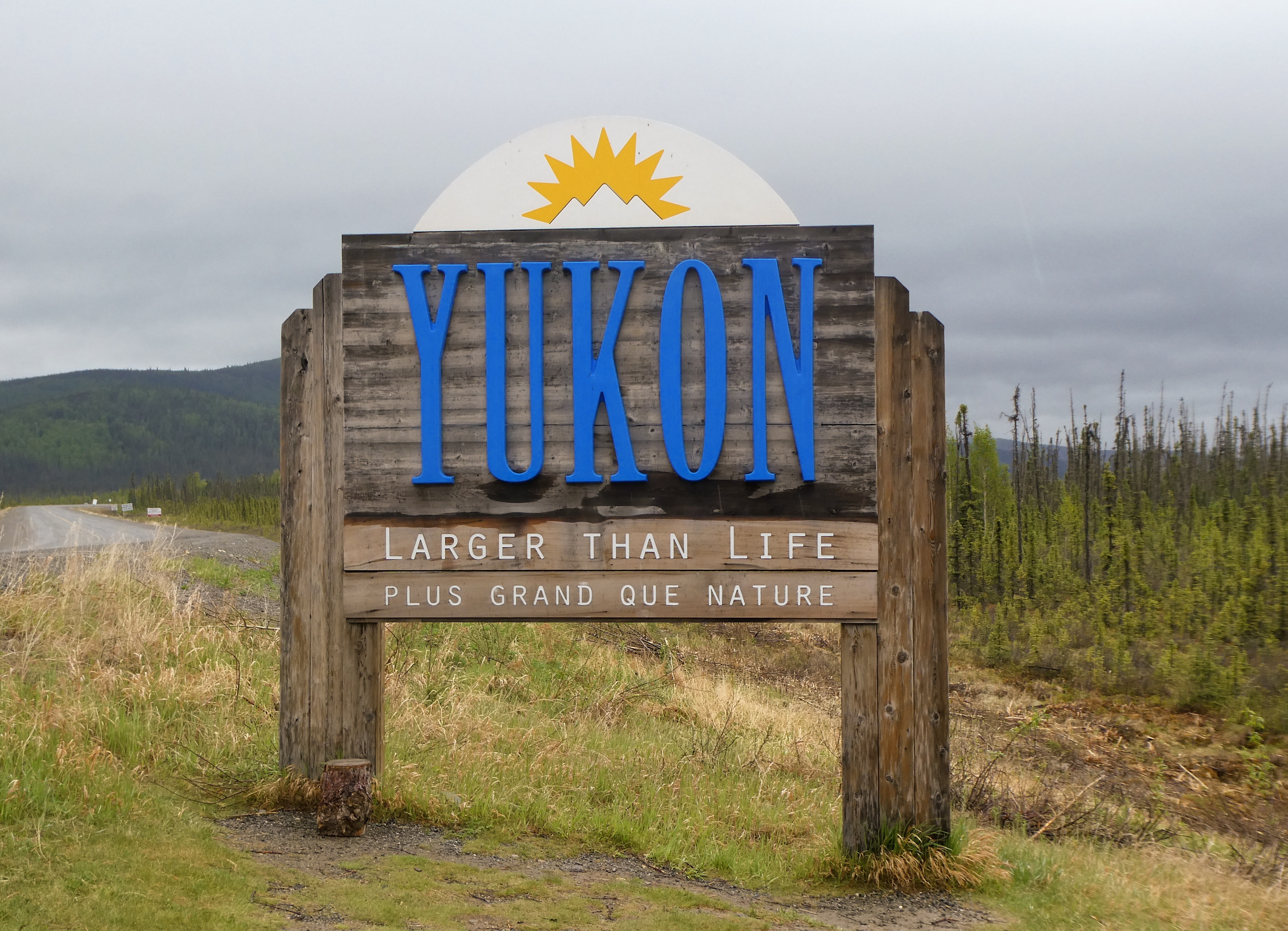
Yukon Territory
40 miles North of Haines, we crossed the border into the Canadian Province of Yukon Territory. We swiftly climbed above tree line into tundra and crossed Chilkat Pass.
The Yukon – friendly border agents!The Tiger scouts the way forward over Chilkat PassLovely vistas
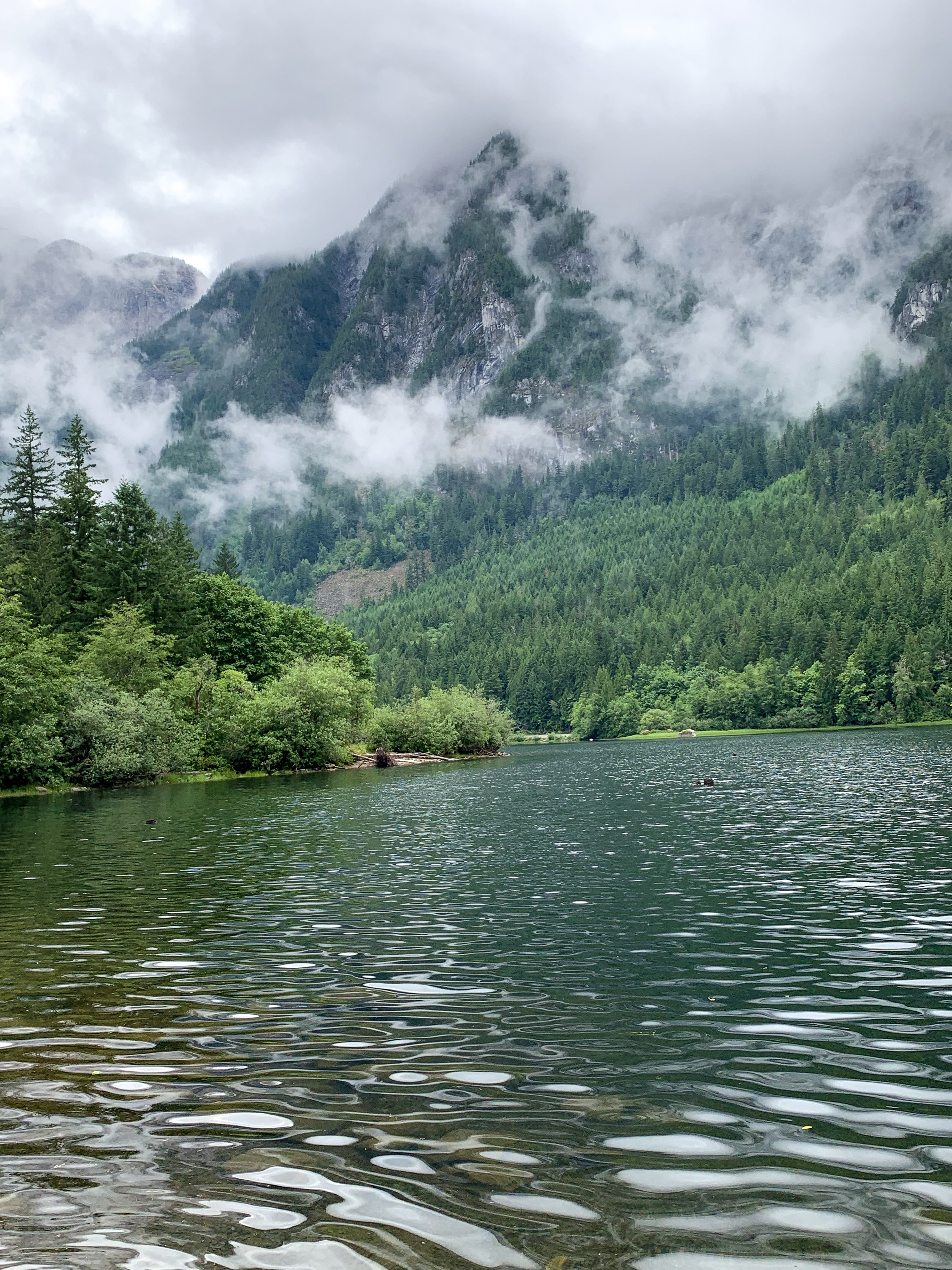
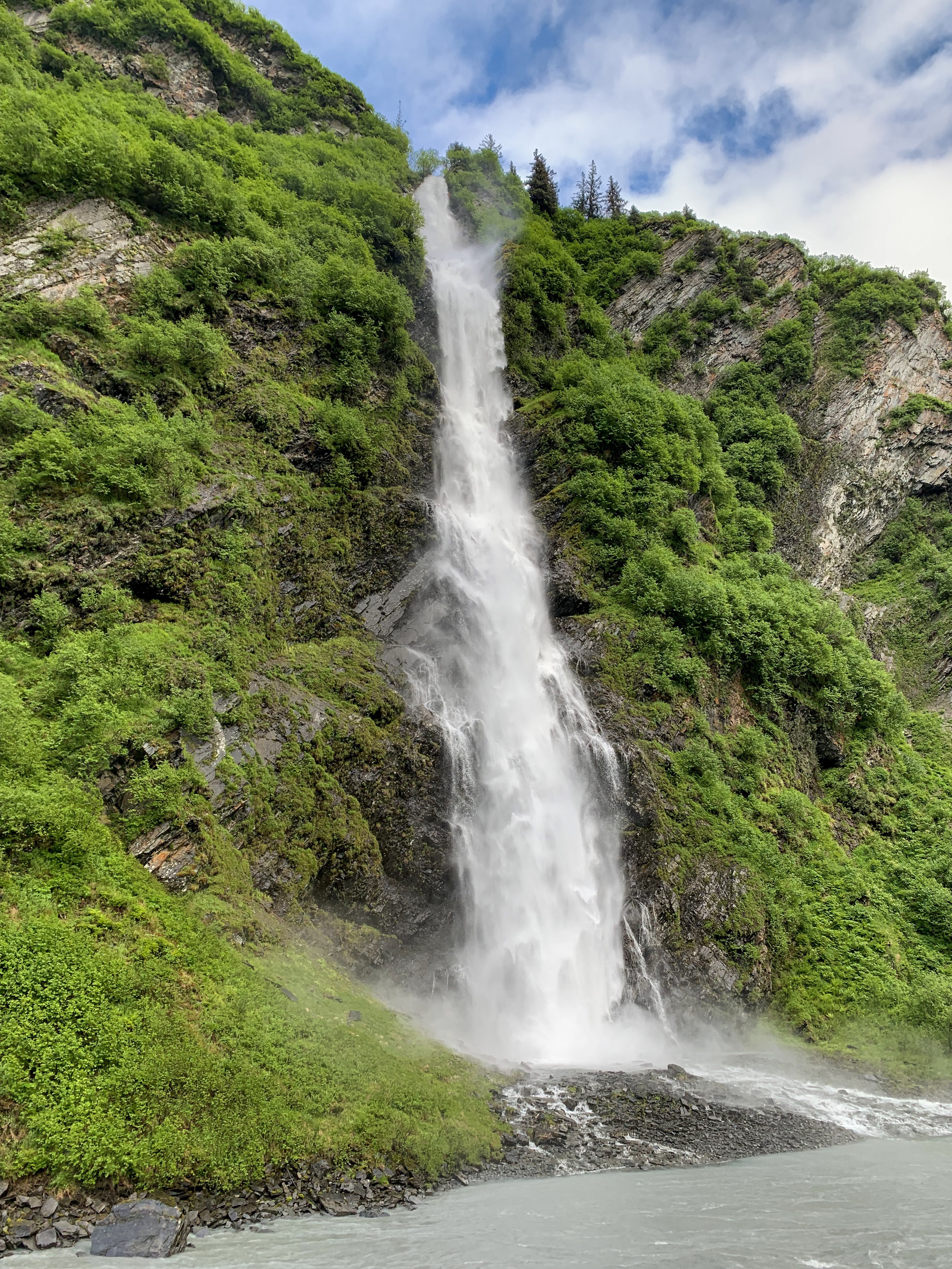
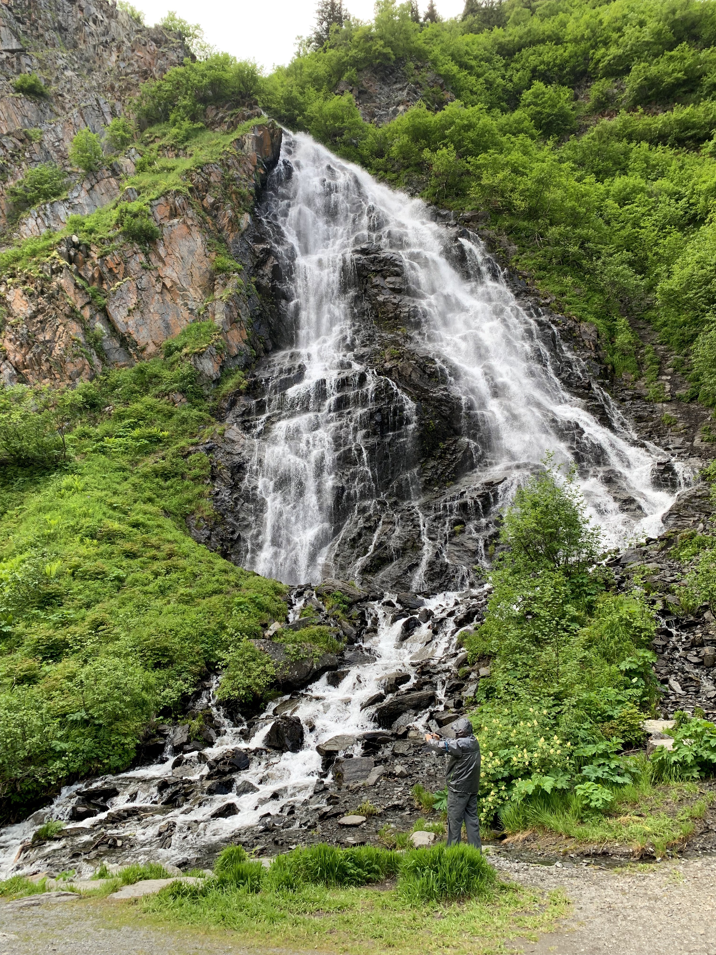
A short hike to Million Dollar Falls on the Tokhanne River
Sally at the falls
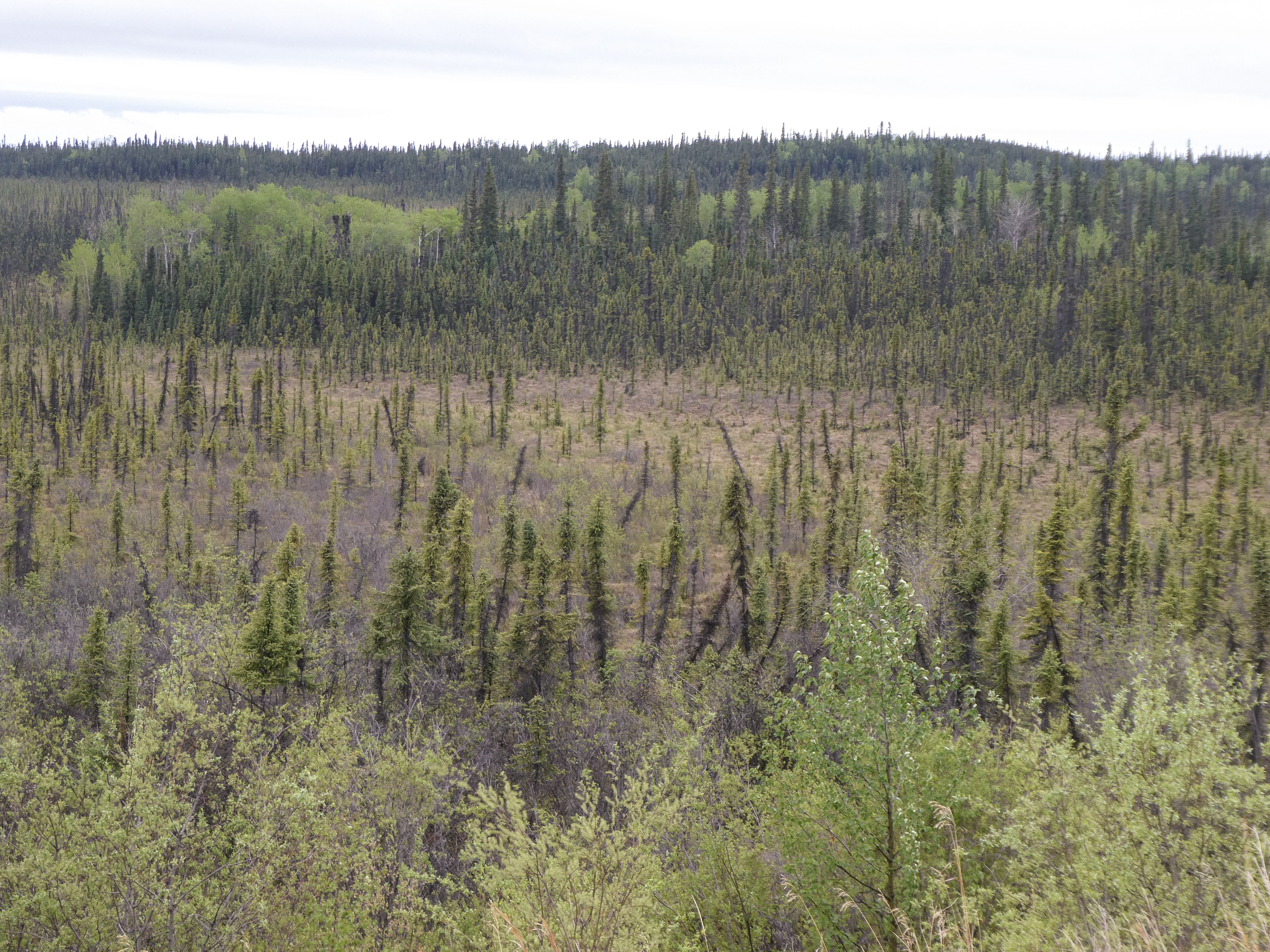
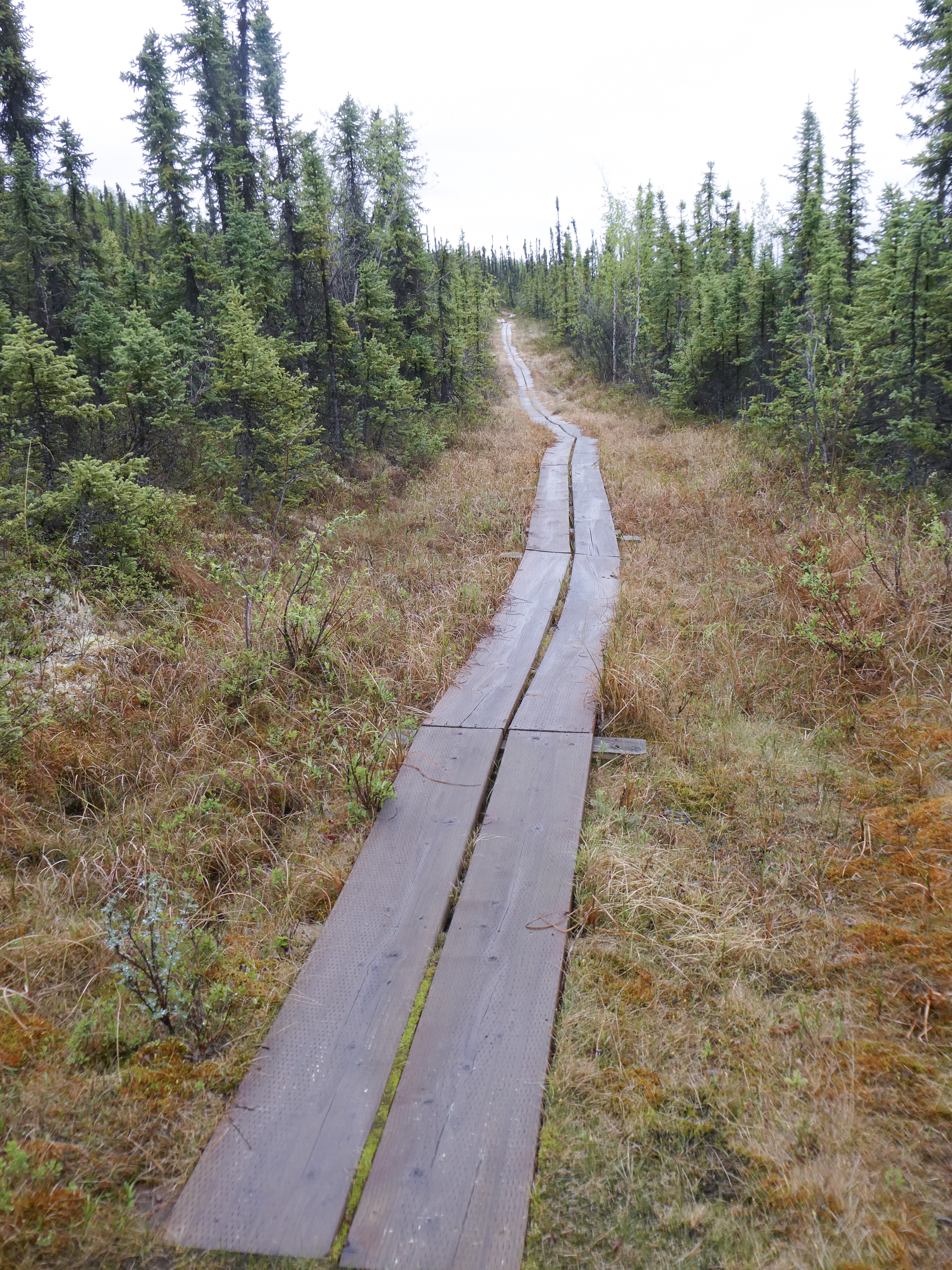
The country here is unlike anything we have seen – Muskeg (soggy, springy, like a trampoline) bogs with a permafrost layer a few feet below the surface), stunted black spruce trees, 10-15 feet high, but looking in the photo like tiny plants
Muskeg with Black Spruce A hiking trail over the muskeg to a pretty lake. Thoughtful, as locals say you can’t sink to your armpits .
Tonight we camped at Discovery Yukon Lodgings, in Beaver Creek, Yukon Territory (YT). The showers cost $1 Canadian (a”Loonie”, as it has a picture of a loon bird on each coin). I had the cheapest shower – one loonie (1.5 minutes) where the others used three (6 minutes). I have found a compensation to having no hair!
Back into Alaska
After 200 lovely, friendly miles in the Yukon Territory we crossed the border back into Alaska near Beaver Creek YT
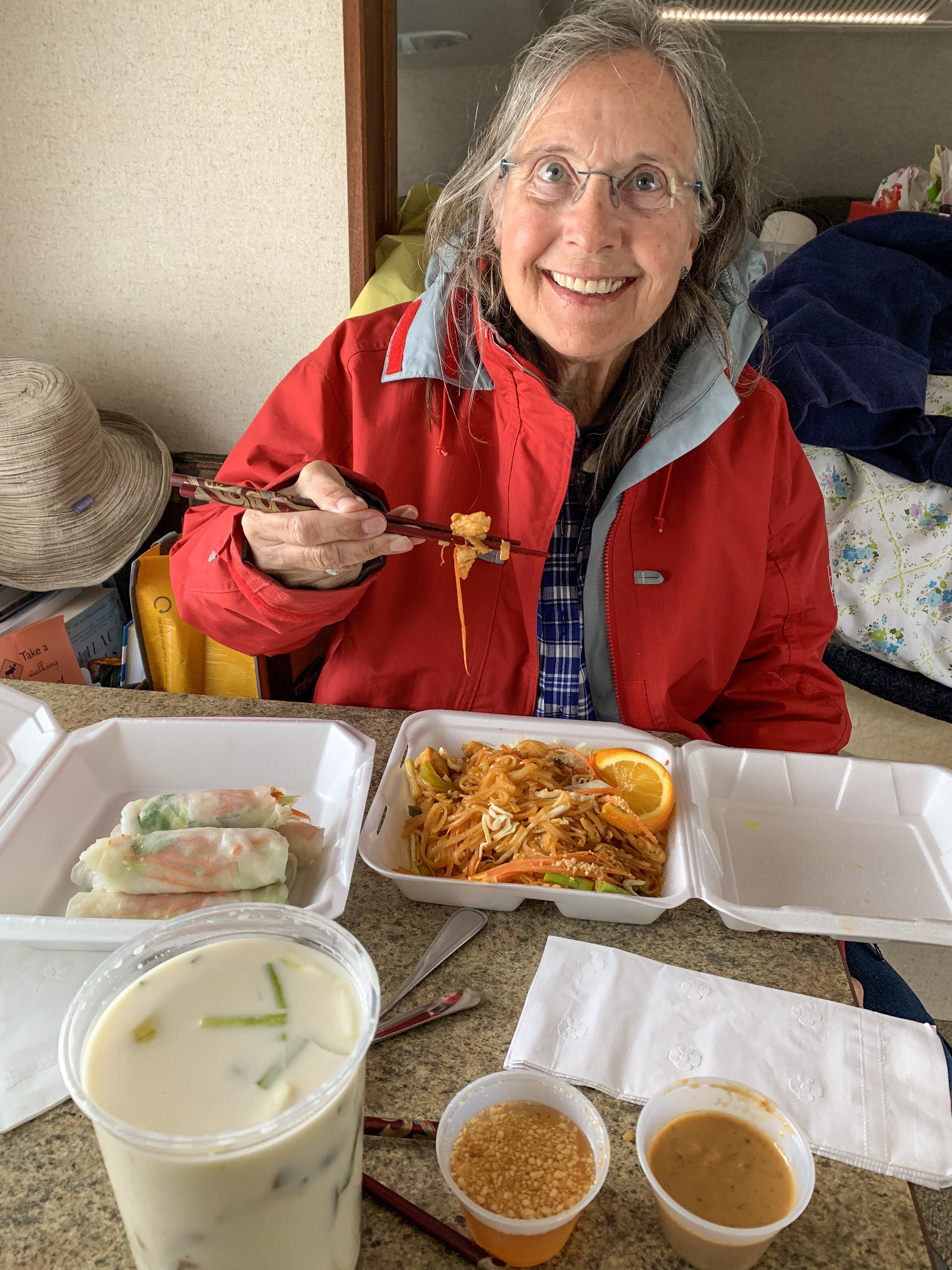
Passing through Tok, Alaska, we stopped at Donnelly Creek Campground for the night after picking up dinner from a Thai food truck. Tasty! Interestingly, Thai food can be found across Alaska and the Yukon – a culinary favorite!!
Pad Thai, Tom Kha Gai and spring rolls Comfortable campsite Sally reads murder mysteries in bedMorning view from our camp
Sally’s first nights in a tent in over 30 years (she, of course was 9 years old then…..🏕
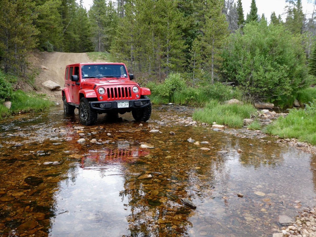
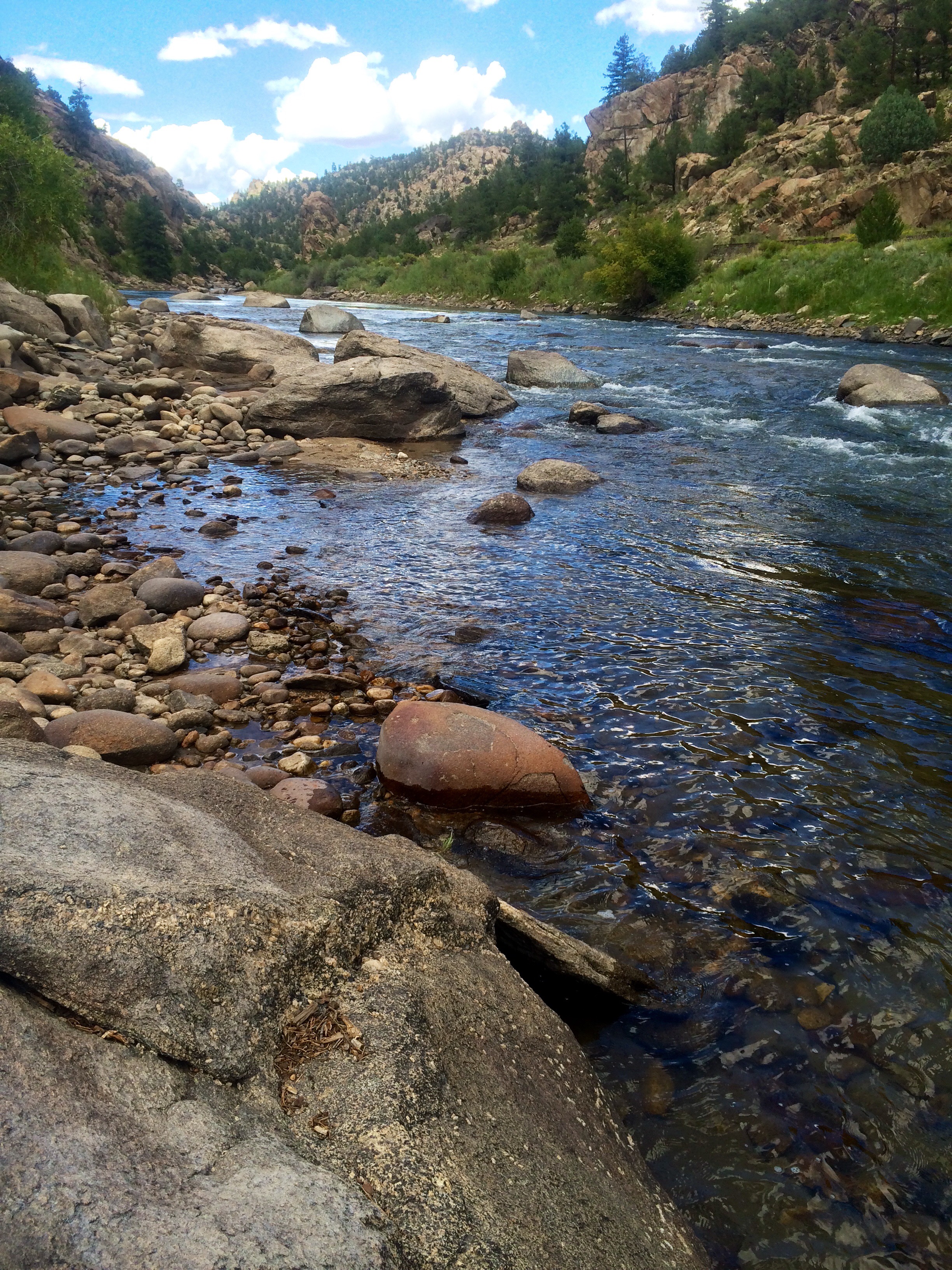
I planned a 3-day off-road tent camping trip with my lovely wife Sally, to appreciate the summer Colorado High Country. I “tent-camp” annually, but Sally has not slept in a tent for 30+ years. Will she agree to go again? I will do my best to make this trip adventurous, fun and also offer tasty dishes to entice her back again!
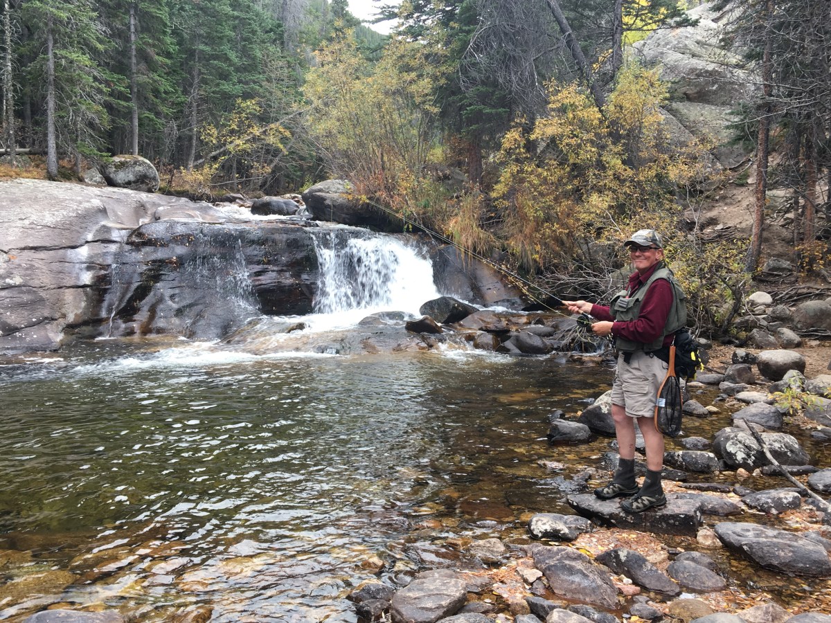
We will tour “Jeep trails” in the Roosevelt National Forest of Northern Colorado at around 10,000-11,000 feet elevation, do some fishing and explore the natural beauty. There are still lots of wildflowers in the Colorado high country in late July!
Driving 3 ½ hours through the colorful Colorado mountains we find the aspen color is pretty much finished, but cottonwoods are still in their full golden full glory in the creek bottoms.
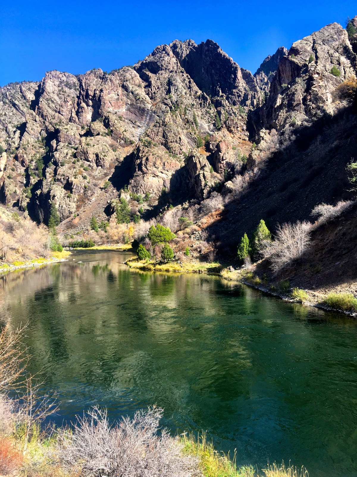
Rhode Island Willetts, brother Tom and sister Barbara, come to the mountains of Colorado to enjoy our cabin, wildlife and fall fly fishing……… Continue reading “Colorado Autumn Splendor 🍂”