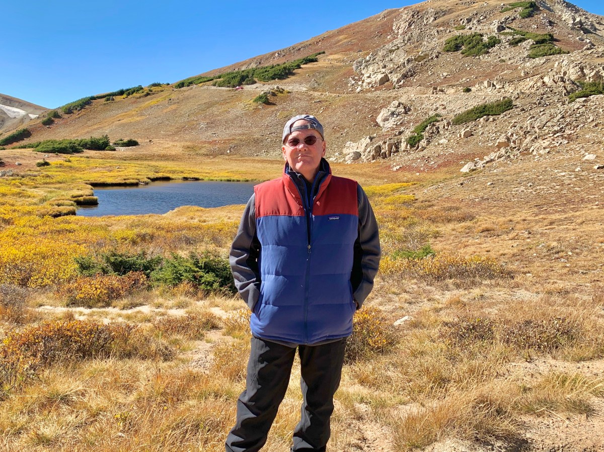


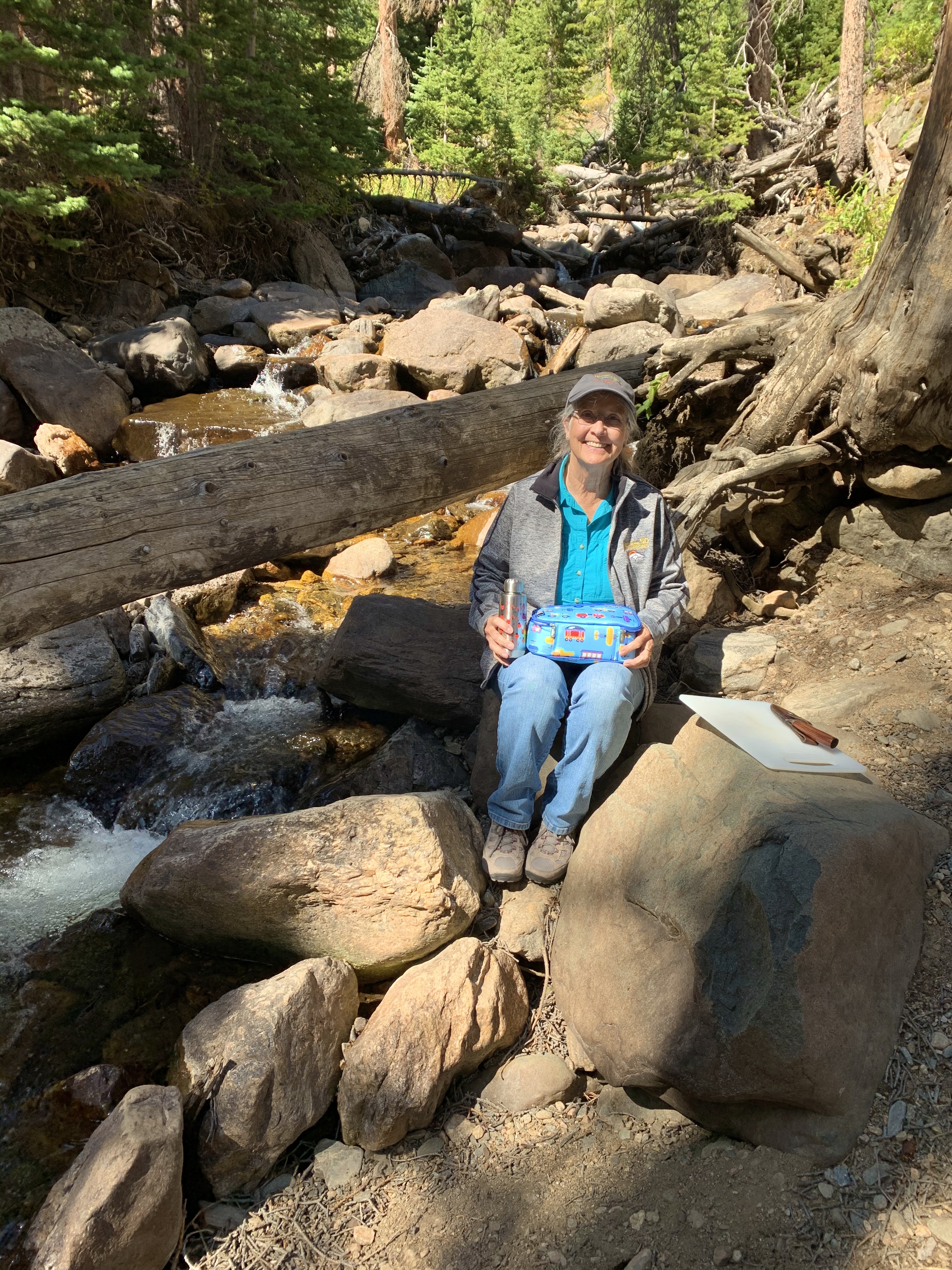
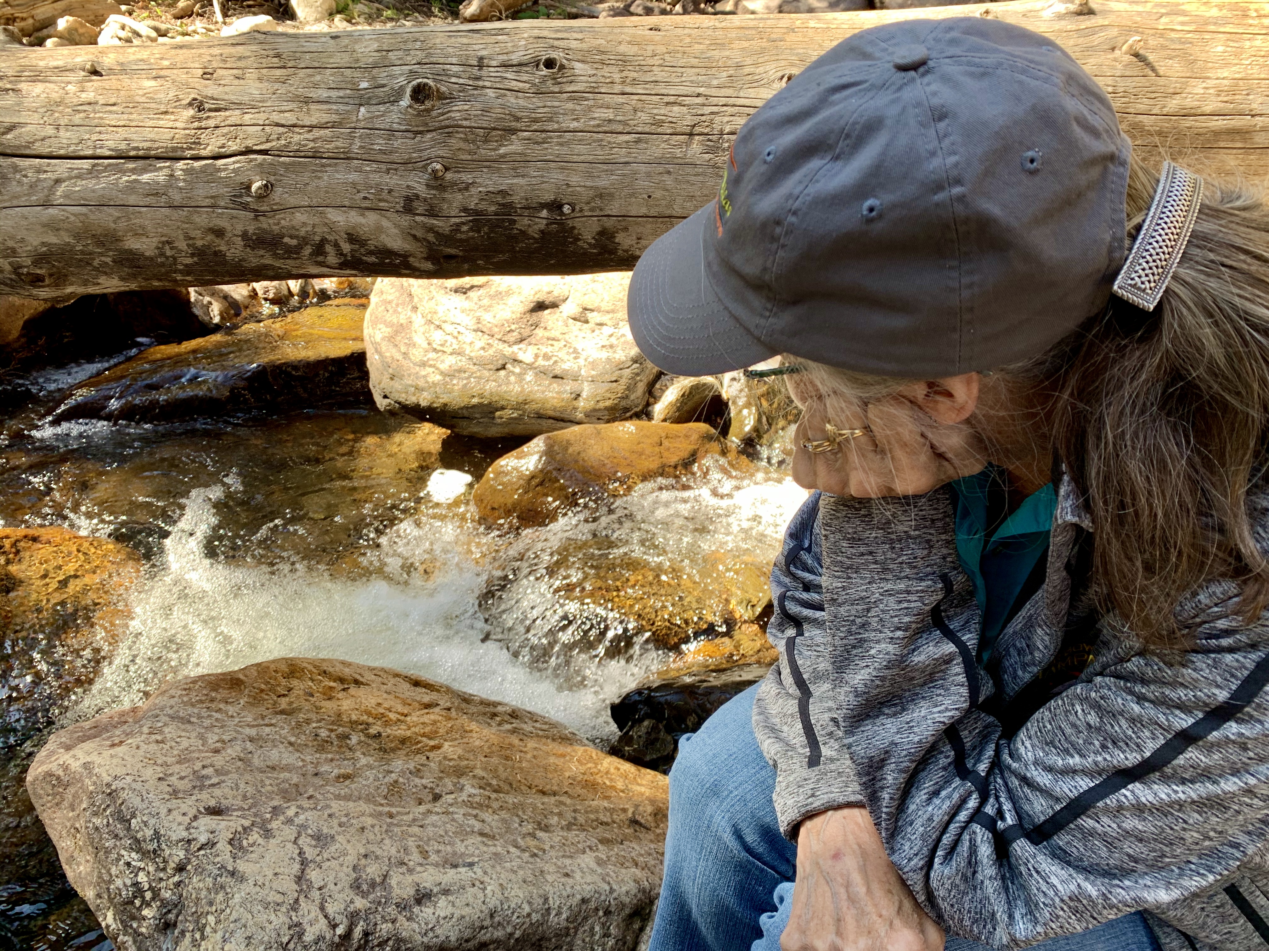
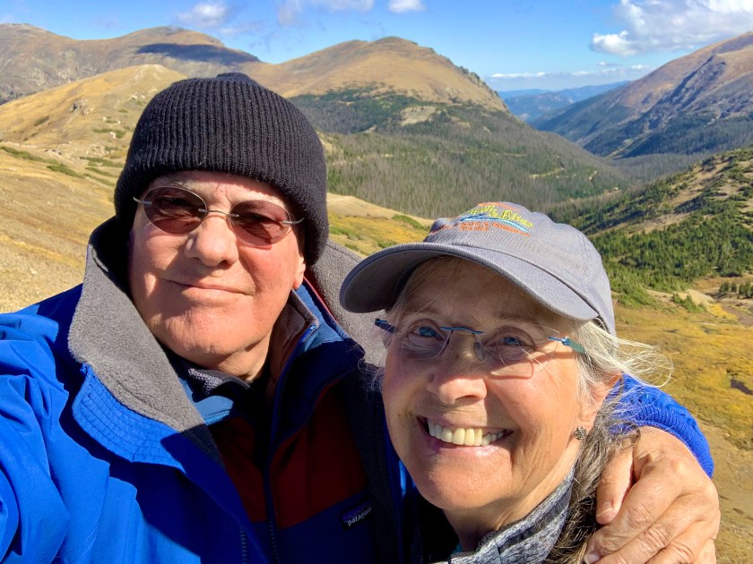
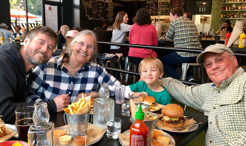
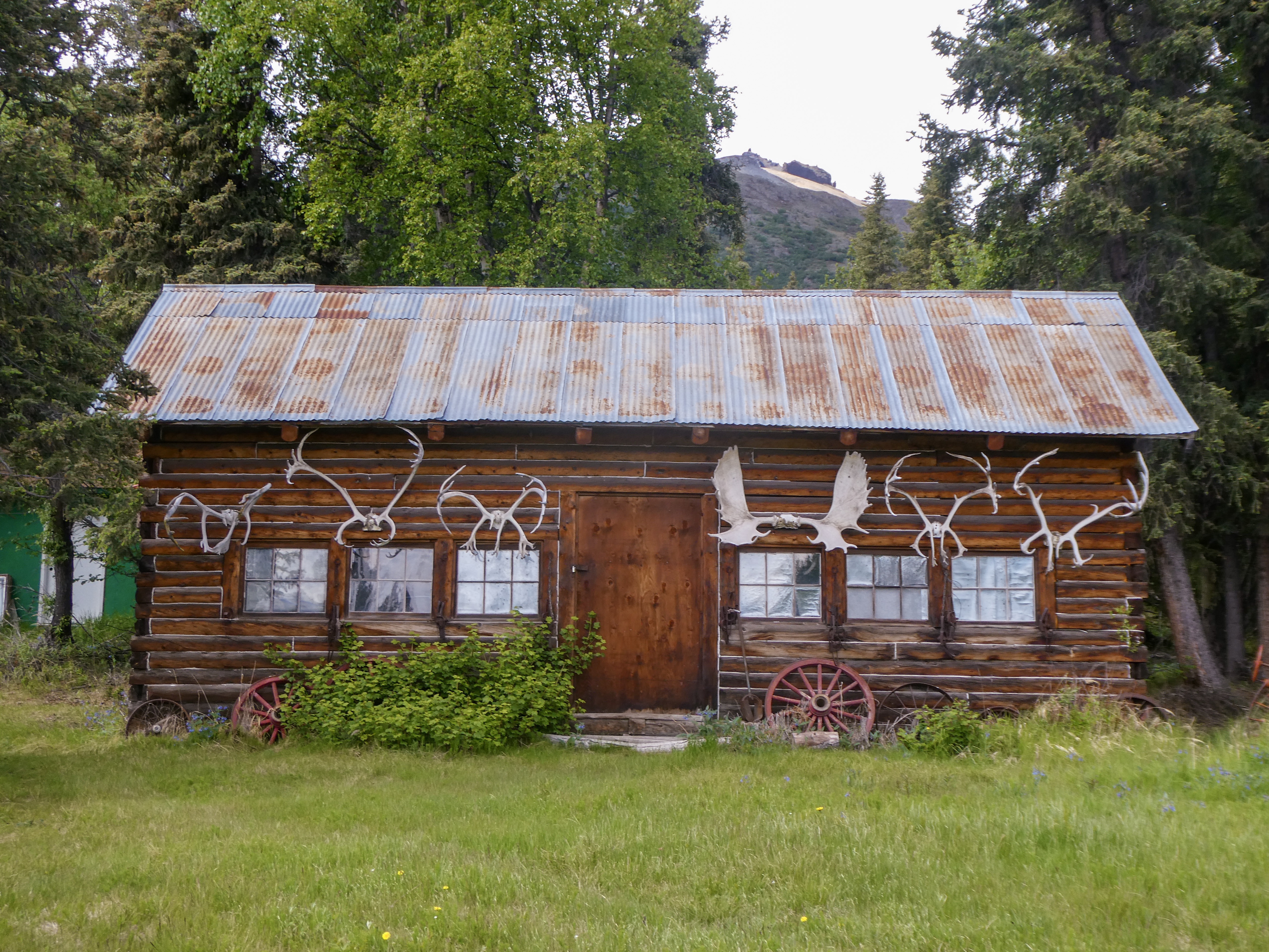
A beautiful autumn picnic on the Old Fall River Road
Rocky Mountain National Park in northern Colorado spans the Continental Divide and encompasses protected mountains, forests and alpine tundra. It’s known for the Trail Ridge Road and the Old Fall River Road, drives that pass aspen trees and rivers. The Keyhole Route, a climb crossing vertical rock faces, leads up Longs Peak, the park’s tallest mountain. A trail surrounding Bear Lake offers views of the peaks.
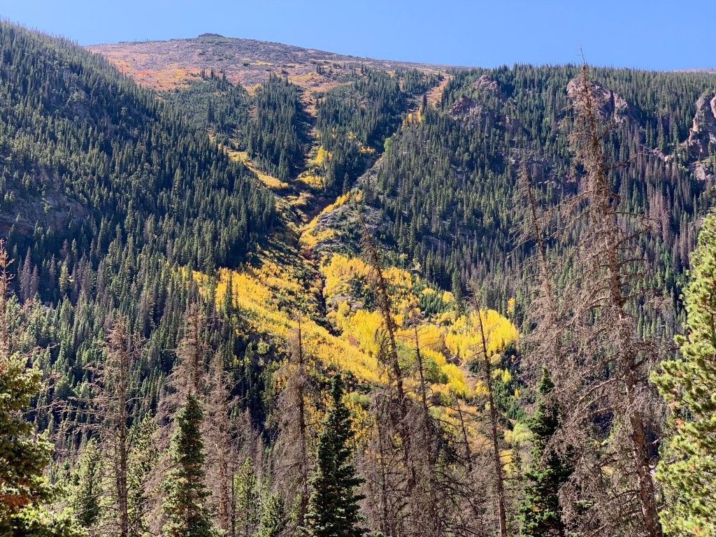
THE OLD FALL RIVER Road:
-11 miles long, one way uphill
-Fall River Pass is 11,796 feet above sea level
This motor nature trail, constructed in 1921, was the first auto route in Rocky Mountain National Park offering access to the park’s high country and was the first route over the Continental Divide. It follows a route traveled long ago by Indian hunters who came for the abundant game.
Today it is a one-way gravel road that runs between Endovalley and the Alpine Visitor Center at Fall River Pass. It is narrow and has many switchbacks (hence trailers or vehicles over 25 feet are not allowed) but it is a beautiful and safe drive.
The road continues along its narrow path offering views across the valley of Sundance Mountain high in the alpine tundra. The road climbs up out of the trees to the Fall River Cirque, the starting point of a glacier that carved the steep chasms of the Fall River valley.
Rocky Mountain National Park.Com
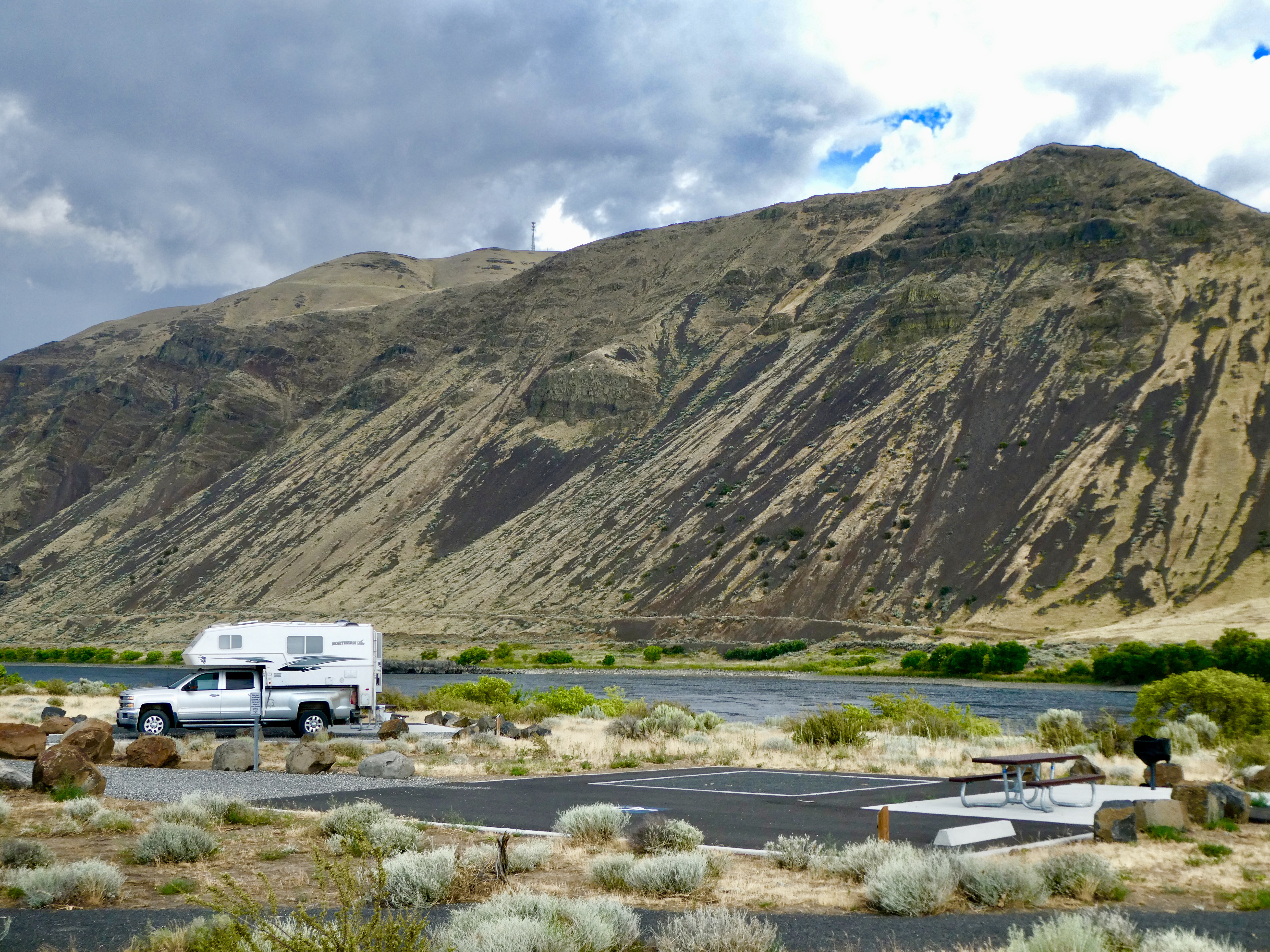
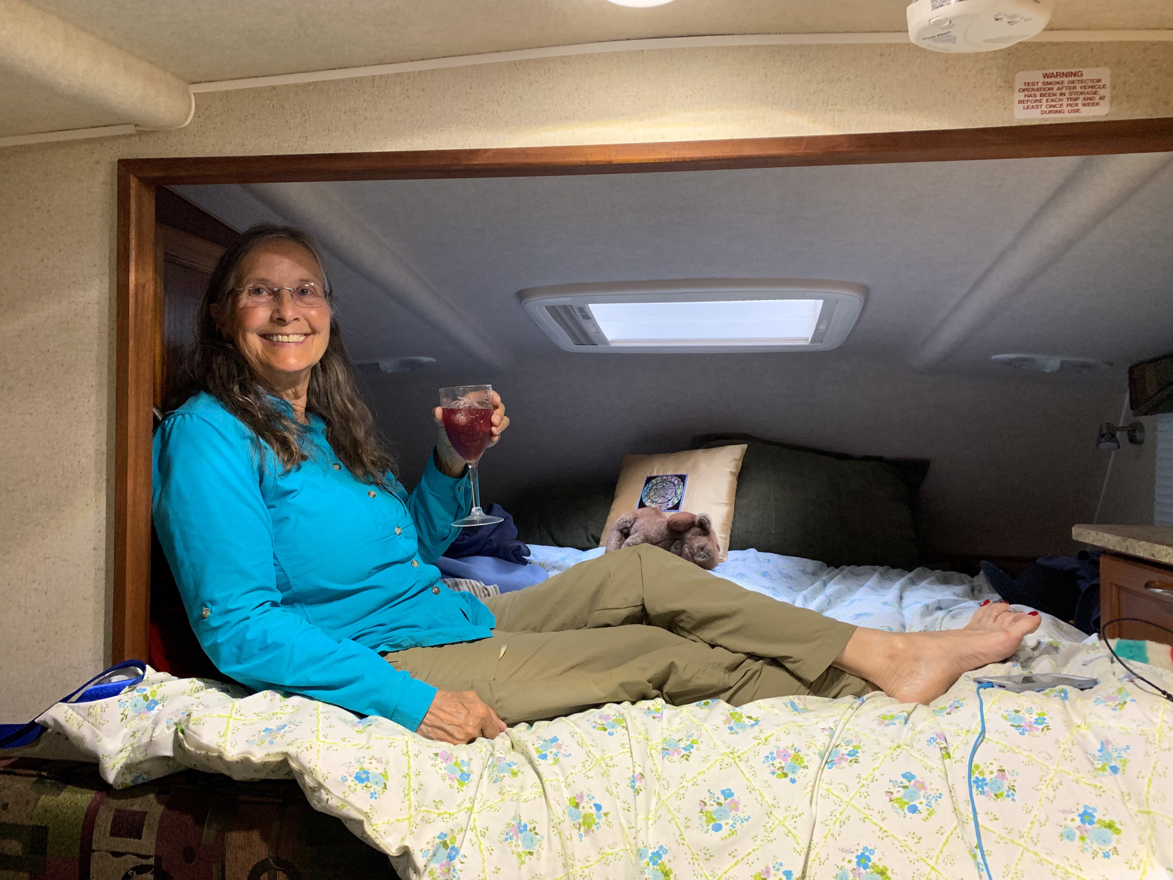
Driving the Old Fall River Road is a favorite annual day trip from our home in Ft Collins. Today, temperatures ranged from 69 degrees in Estes Park, to 53 degrees at Alpine Visitor Center at nearly 12,000 ft elevation. Sunny and warm, Sally though it was a perfect day for a steam-side picnic. Fresh pears, locally made Brie Cheese, crackers


Slowly exploring eastwards…..
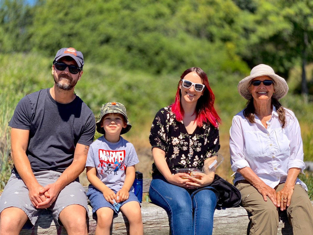
Leaving Sally In Seattle (to stay longer with Drake), I resolved to return home driving small backroads, avoiding interstate highways , taking 8 days or so, for the trip.
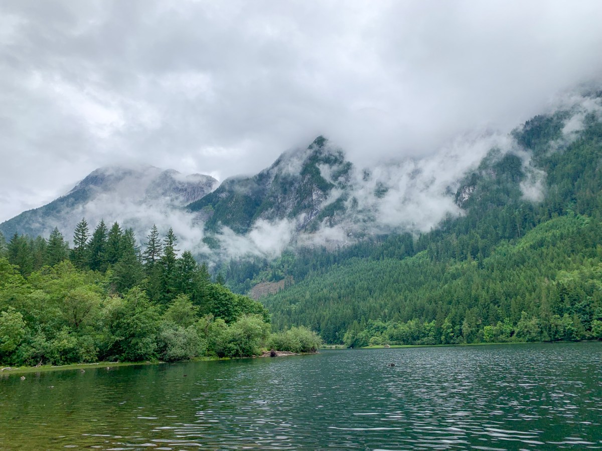
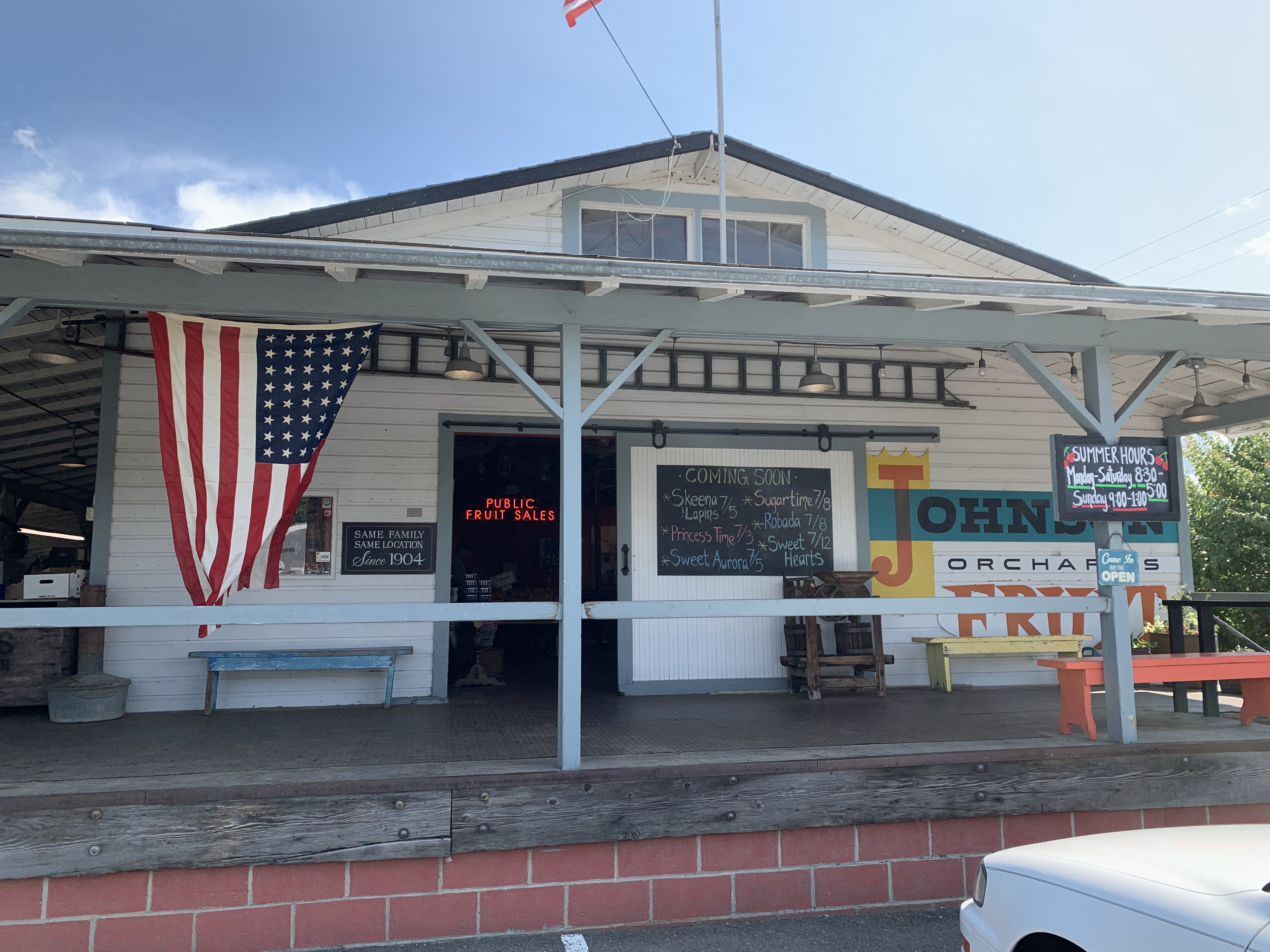
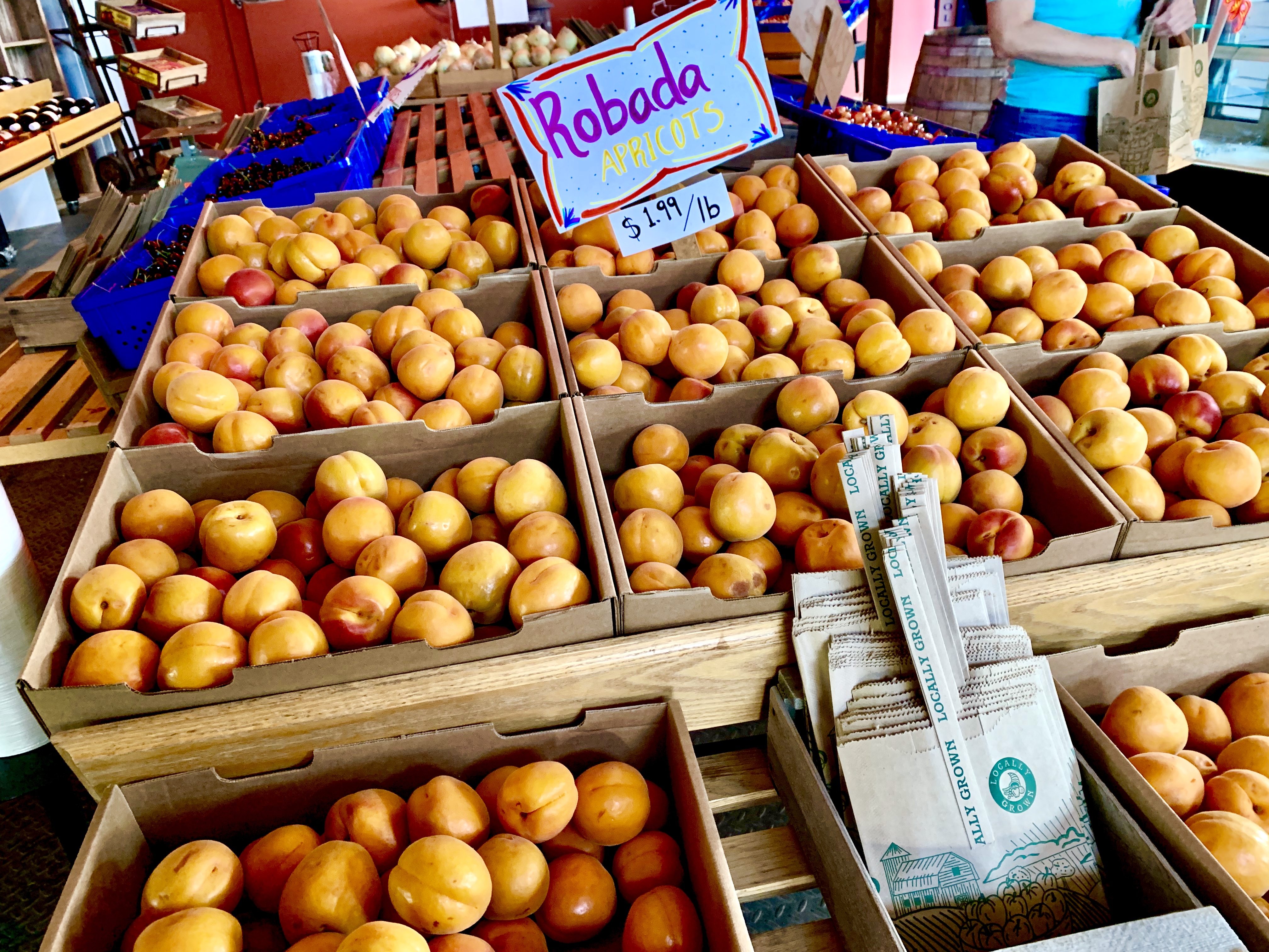
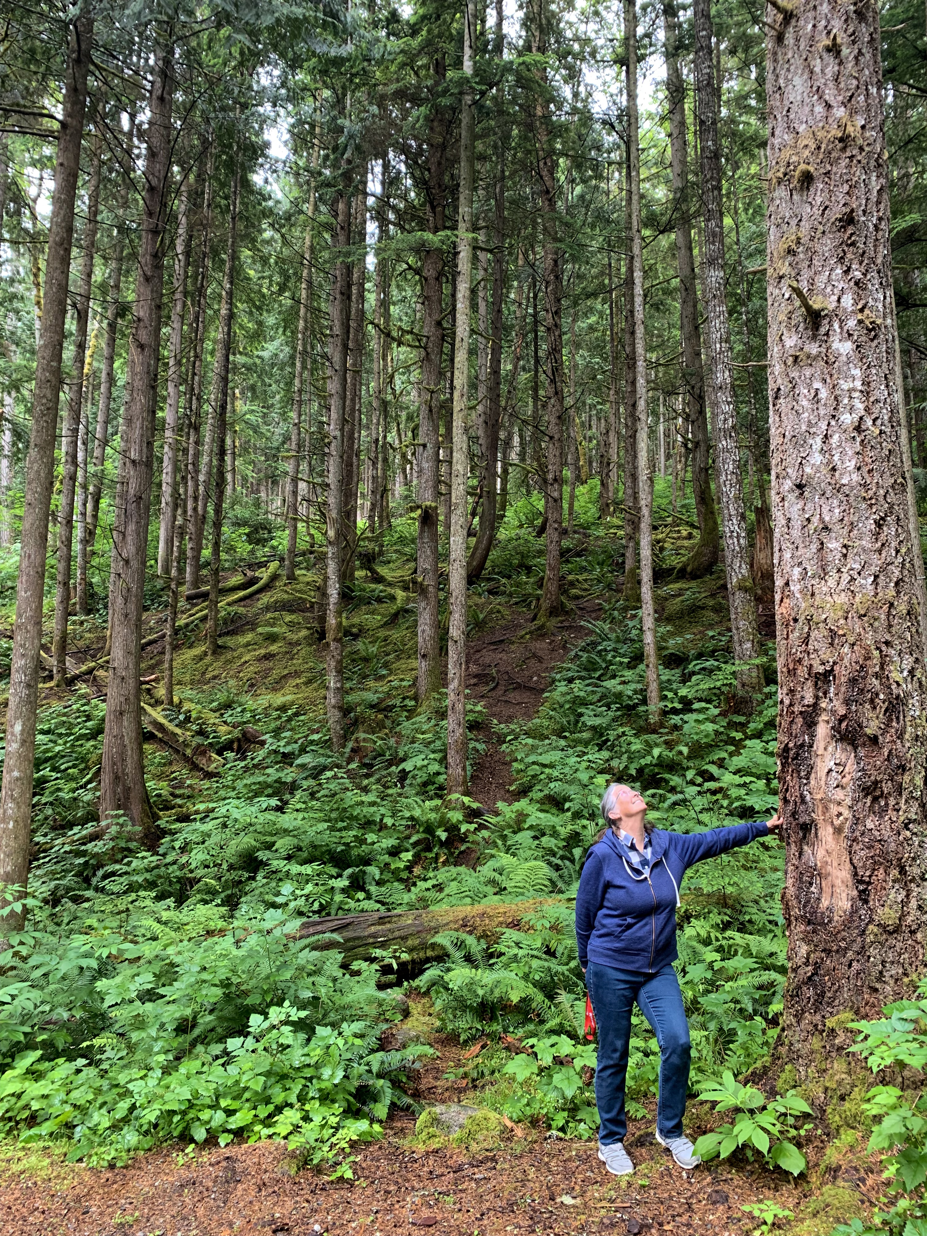
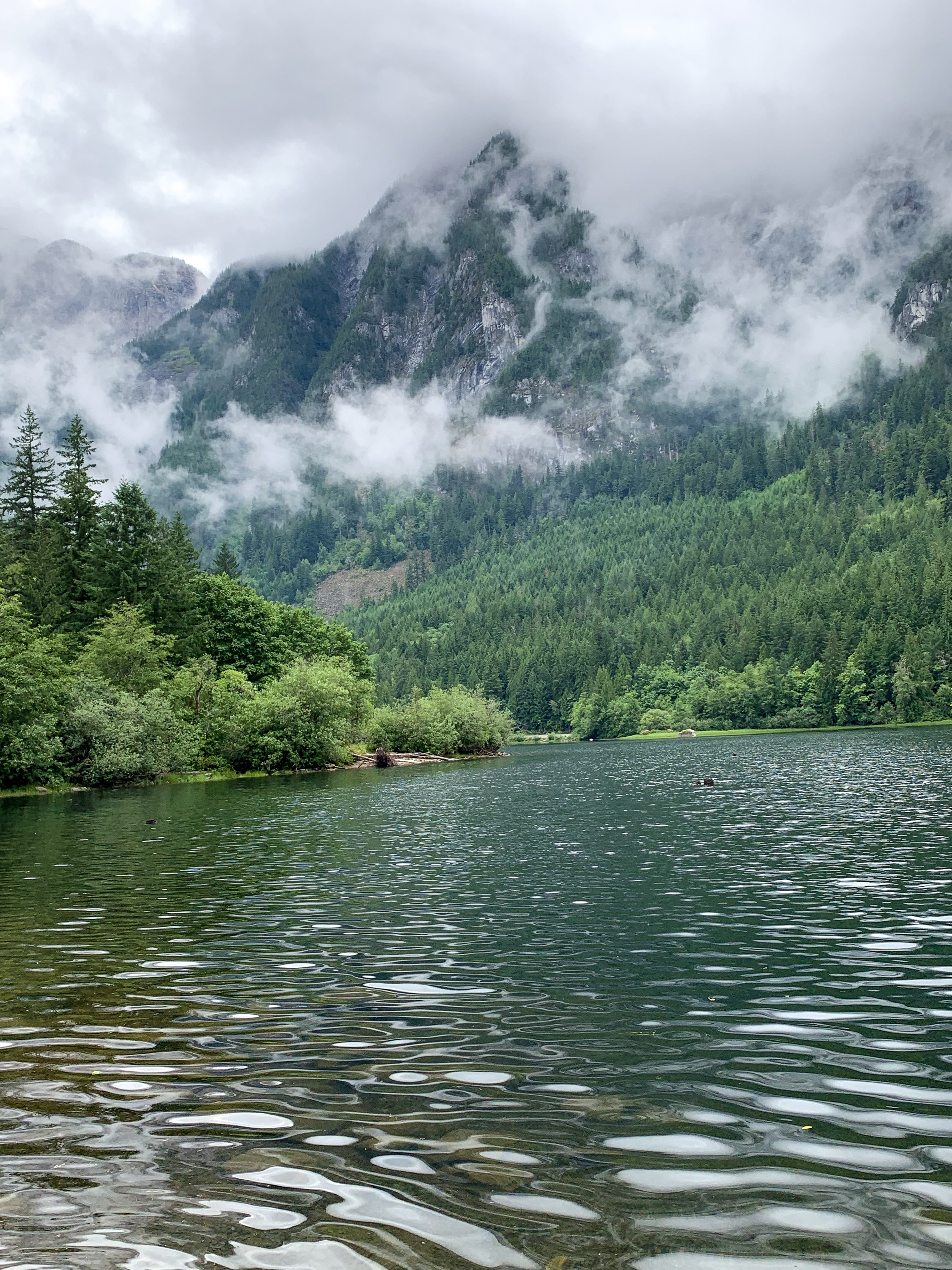
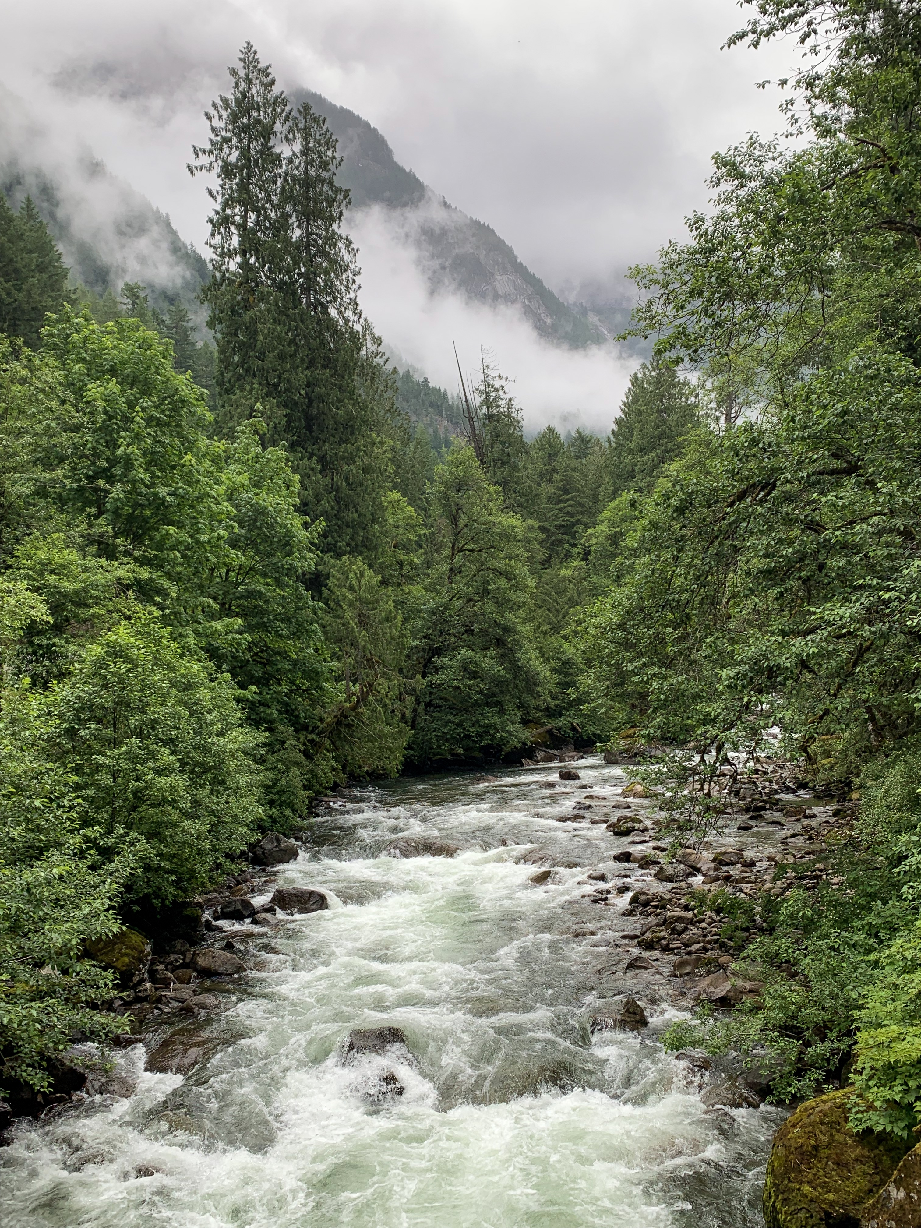
After a rainy drive through Mt Rainier National Park it was critical that I make a supply stop at Johnson Family Orchard, Yakima, Washington to stock up juicy sweet fresh cherries and apricots so I don’t starve.

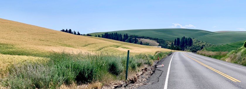
Driving east through the Palouse I followed the Lewis and Clark Trail along the Clearwater River where lots of folks were picnicking and swimming on the sandy beaches along the banks. Great respite as the temperatures were in the mid 90’s. I found the Nez Percé National Historical Park an interesting short stop on my way to my campground in Kamiah on the Nez Percé Reservation. Trees, shade, a swimming pool and showers!
Flaming Gorge, Wyoming
Made of spectacular red canyon walls and arid green forest, the Flaming Gorge National Recreation Area sprawls across the southwest region of Wyoming in Sweetwater County. The area covers 207,363 acres of scenic landscape and wilderness. The area’s most popular destination is the Flaming Gorge Reservoir, measuring 91 miles long. You can also experience the Green River, separated from the reservoir by the towering wall of the Flaming Gorge Dam. Both the reservoir and the river provide a plethora of water activities to choose from.
Wyoming Tourism
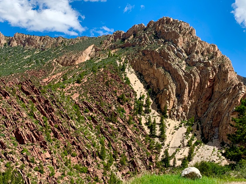
FLAMING GORGE, Utah
Deep channels carved into rugged landscapes contain stained-glass waters that capture the play of light, shadow and color of the rising sun. Varying water temperatures through the seasons create unique scenarios for anglers after trophy lake trout and a number of other fish species. Flaming Gorge might be the West’s most spectacular reservoir. It certainly is one of the best fisheries around, with Blue Ribbon-designated angling on both the reservoir and the Green River for several miles beyond the dam. And then there’s the way the sun catches the red canyon walls, the revitalizing aura of the encompassing Ashley National Forest and High Uintas Wilderness, the prolific wildlife and the quaint, hospitable communities.
Flaming Gorge National Recreation area is an all-encompassing outdoor recreation destination. With more than 200,000 acres of land and water, Flaming Gorge is a scenic playground for boating, waterskiing, windsurfing, camping and backpacking in addition to some of the best fishing in the west.
To extend your stay in Flaming Gorge, Utah border towns Manila and Dutch John offer Flaming Gorge lodging. Comfortable rooms, cabins, and campgrounds encircle the area, ranging from handcrafted cabins with onsite recreation near the lake or rustic destinations on Forest Service roads in the nearby Uinta Mountains. Red Canyon Lodge, for example, features luxury log cabin lodging, fine dining, a private lake, horseback riding and more, providing a complete resort experience with those 200,000 acres of recreation standing by. There are also developed campgrounds and dispersed camping on the Ashley National Forest. To combine with Dinosaur National Monument, consider accommodations an hour south of Flaming Gorge in Vernal, Utah.
Local Highlights
Red Canyon Overlook: Beautiful any time of day, many visitors opt to get up early for sunrise to watch the gorge live up to its name as the canyon walls catch the fire of the intense morning light.
Flaming Gorge Dam: A year-round visitor center and summer guided tours unlock the history of the dam and accesses a stunning walk.
Browns Park: From Utes and Shoshone to fur trappers and outlaws like Butch Cassidy and the Sundance Kid, the area has long provided a sheltered retreat, and today is an excellent spot for fly-fishing.
Blue Ribbon-Designated Fishing: On Flaming Gorge, get ready to haul trophy fish aboard, from multiple trout species to bass, carp and Burbot. Below Flaming Gorge dam, the Green River is renowned for its trout fishing and excellent rafting. The brown trout on the Green average 15–17 inches in length but a record brown weighed it at 29 pounds in 1996. Read the Flaming Gorge Fishing Guide.
Dinosaur National Monument: Dinosaur National Monument and the Utah Field House of Natural History in Vernal combine for one of the west’s best dips deep into the region’s prehistory.
Sheep Creek and Spirit Lake Scenic Backways: Two gorgeous routes off the main highway that will guide you through impressive geological features and to the high country of the Uinta Mountains.
Visit Utah
I decided to spend a couple days camping in Manila, Utah near the Flaming Gorge to explore the area more thoroughly. While Sally and I have driven through it in the past, we never spent time poking around. Also, we always drove down the east side of the gorge. This time I decided to take the longer, but more beautiful road down the west side.
The Uinta Mountain range is a subrange of the Rocky Mountains. The Uinta Mountain range is unusual as this is the highest mountain range in the contiguous United States that runs East to West. North to South is much more common. The other two mountain ranges that run East to West are in Alaska!
Sheep Creek Geological Loop
This route winds through the dramatic geologic formations of the Sheep Creek National Geologic Area. The Uinta Fault, which runs for more than 100 miles along the north slope of the Uinta Mountains, is clearly visible in the extremely twisted rock layers along the upper part of the loop.
But stunning scenery isn’t the only reason to keep your camera ready on this backway. Expect to catch a glimpse or two of Rocky Mountain bighorn sheep as you wind through Sheep Creek’s awe-inspiring rock spires. This relatively small area is home to an impressive diversity of birds and other wildlife. Sharp eyes will spot the gravesite of the mysterious Cleophus Dowd along the western end of the loop.
Flaming Gorge Country.com
You can tour earth’s history from your vehicle. You will pass 20 interpretive signs indicating rock formations and fossils they contain. Rocks date Pre-Cambrian to Cretaceous in age representing millions of years of time and transformation. Overlooks, scenic pullouts, visitor centers, and nature trails abound along the way. Pick up a brochure with more information at any of the orientation centers.
USDA Forest Service
The Red canyon Visitor’s Center
This unique Visitor Center is perched high upon the rocky cliffs of Flaming Gorge and offers visitors a commanding view of the vast Red Canyon, carved by the Green River many eons ago. It is open daily from mid-May through mid-September.
Flaming Gorge

Deciding that it really was time to get home, I left the following morning and arrived home at 8pm. My little bed felt soooo good!
Touring the Seattle area

Discovery Park
Discovery Park is a 534-acre (2.16 km2) park on the shores of Puget Sound in the Magnolia neighborhood of Seattle, Washington. It is the city’s largest public park and contains 11.81 miles (19.01 km) of walking trails. United Indians of All Tribes’ Daybreak Star Cultural Center is within the park’s boundaries. A lighthouse is located on West Point, the westernmost point of the park and the entire city of Seattle. The Discovery Park Loop Trail, designated a National Recreation Trail in 1975, runs 2.8 miles (4.5 km) through the park, connecting to other trails.
The park is built on the historic grounds of Fort Lawton; most of the Fort Lawton Historic District (FLHD) falls within the park (although an enclave within the district remains in military hands), as does the West Point Lighthouse. Both the FLHD and the lighthouse are on the National Register of Historic Places.
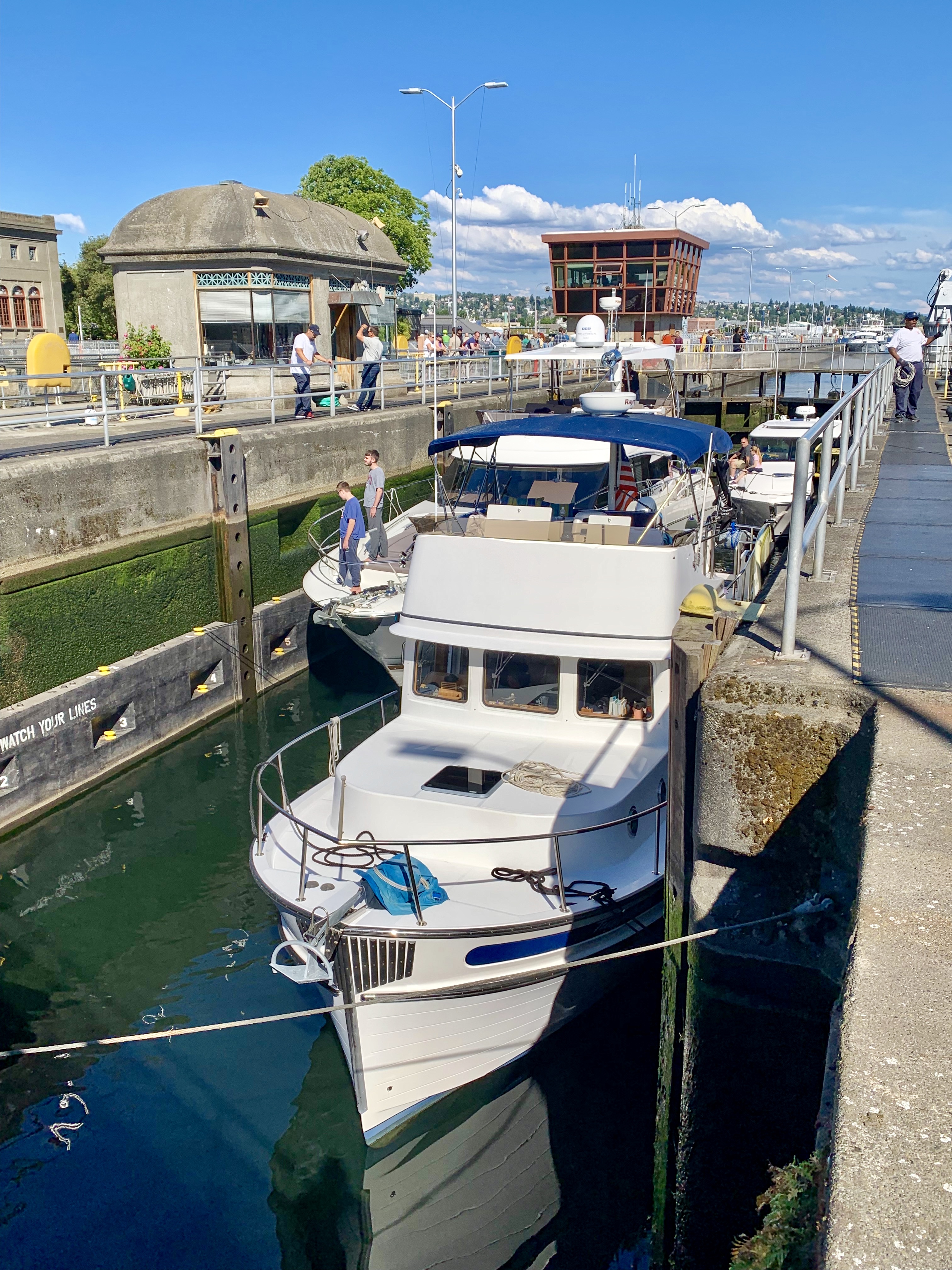
Ballard locks
Officially known as the Hiram M. Chittenden Locks, the Ballard Locks is one of Seattle’s most popular tourist attractions, especially during the sunny months. The grounds also feature a fish ladder and the Carl S. English Jr. Botanical Garden — one of the most beautiful park settings in Seattle.
Completed in 1917, the locks link the Puget Sound with Lake Union and Lake Washington. (Aerial photo from U.S. Army Corps of Engineers).
Boats as large as 760 feet in length and as small as a kayak can travel through the locks. Once in the lock, the water level drops as much as 26 feet to bring the boats even with Puget Sound. The fresh water is exchanged with salt water.
Ten to fifteen minutes after the process began, the boats are on their way. During busy times, though, long lines of boats form on either side of the locks.
Through a system of swinging walkways, visitors can watch the action up close. Runners and byclists frequently use the locks as a way to cross the ship canal between Ballard and Magnolia.
The locks are also a critical link for salmon and steelhead heading upstream to spawn. A fish ladder with 21 steps or “weirs” allows spawning fish to climb to the freshwater side. Young fish, or “smolts” then return down through the locks out to Puget Sound.
A viewing area allows visitors to watch one of the last “weirs” before the spawning fish head into freshwater.
Wikipedia


Exploring B.C.

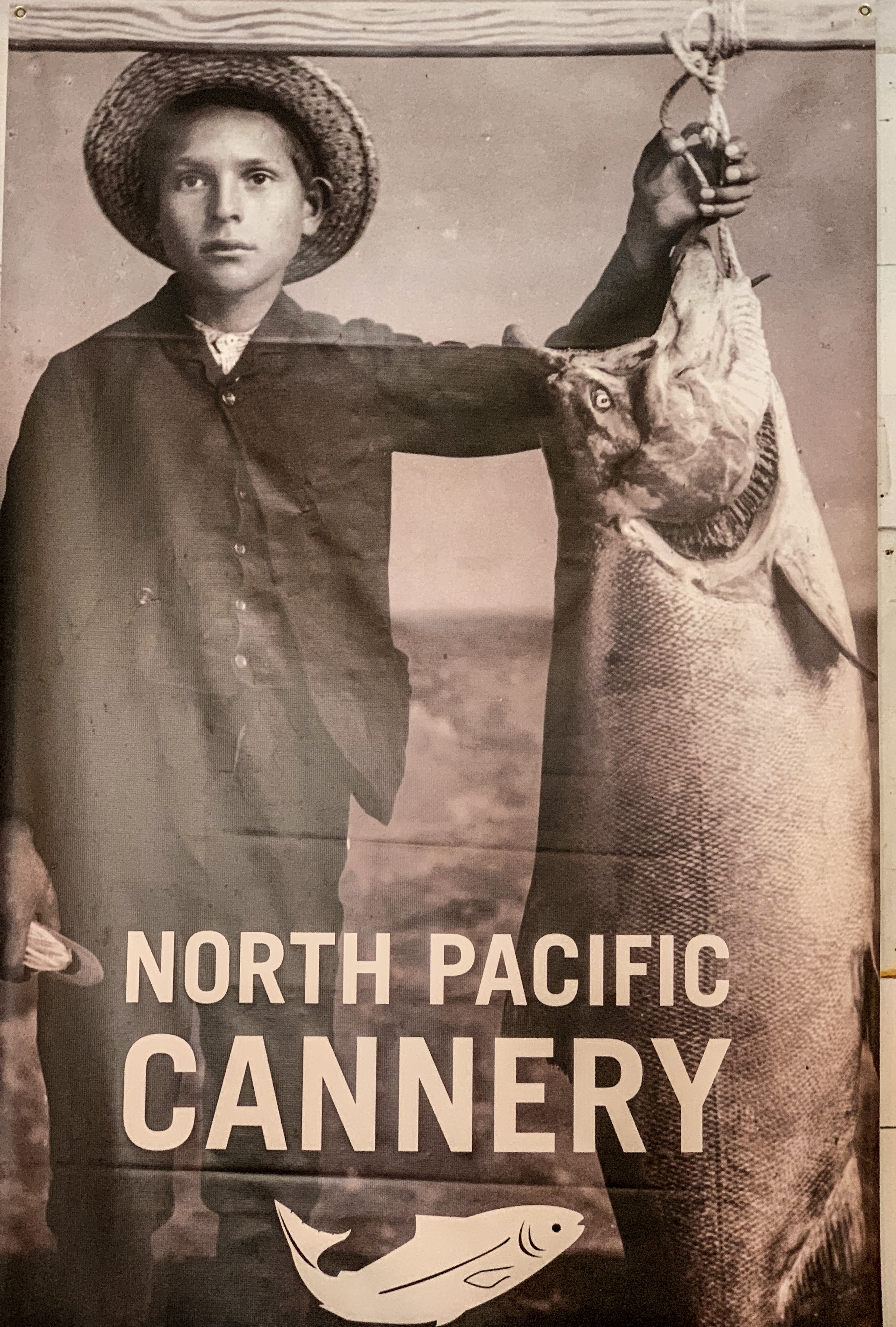
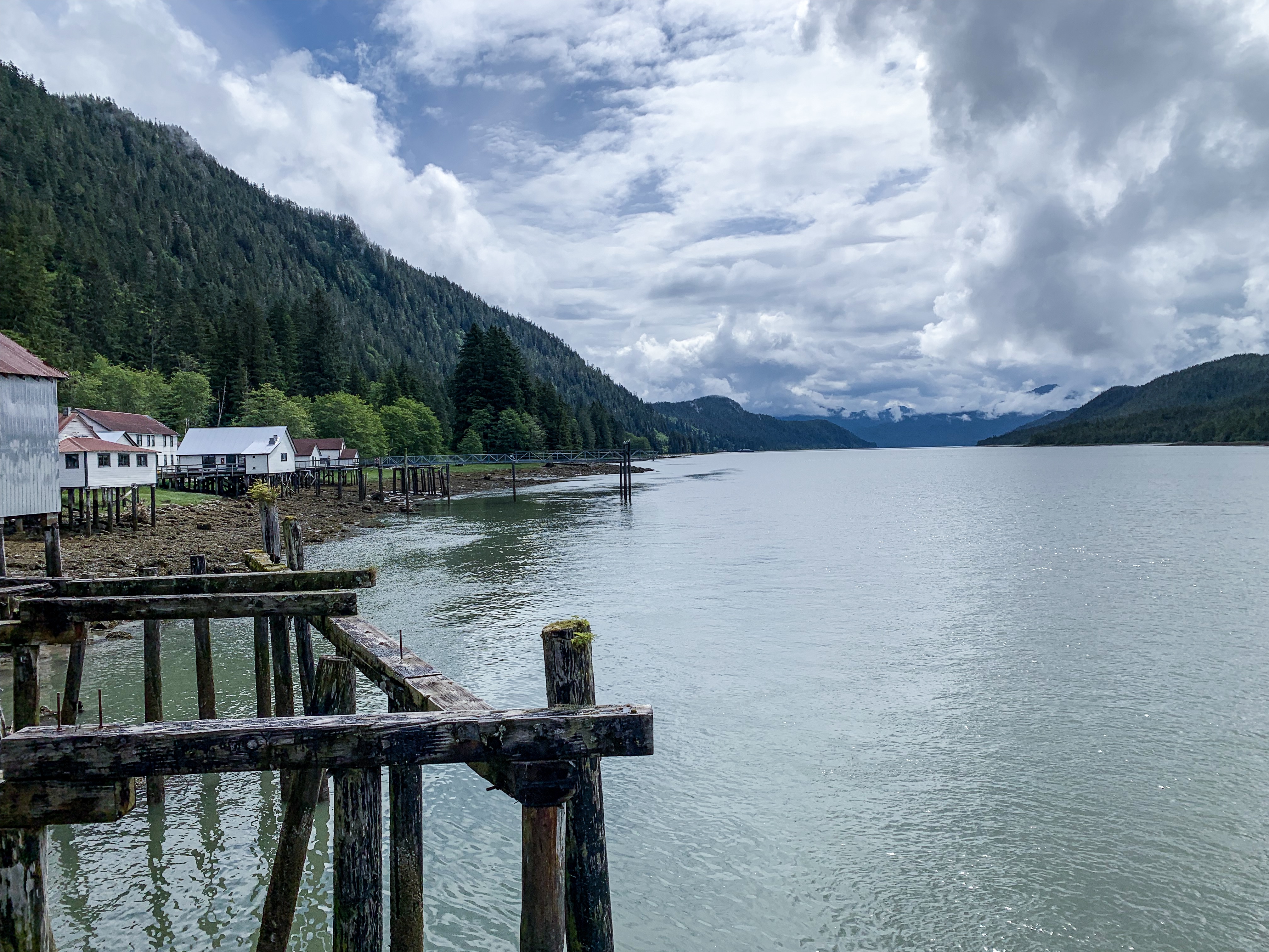
THE LONGEST RUNNING CANNERY IN BC HISTORY
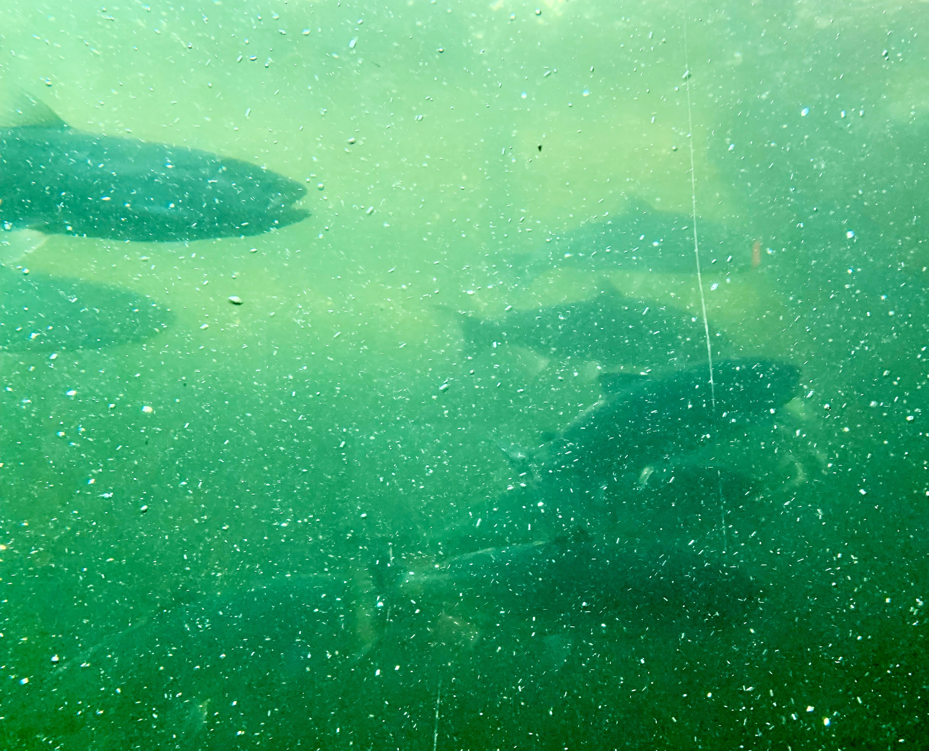
North Pacific Cannery’s history is unique and is comparable to few if any of the other canneries on the west coast of North America. North Pacific Canning Company was formed on November 28, 1888. It had almost 90 years continuous salmon production and fish processing until ending in the late 1970s.
In these isolated locales, accessible only by boat or rail, there was a need for staff housing to provide lodging for the workers, who would live on site through the canning season. At most of these canneries, labour was divided according to race and culture, with Japanese fishing and net mending, First Nations fishing and working on the cannery line, Chinese on the cannery line and cooking, and Europeans fishing and managing. This multicultural but segregated arrangement is characteristic of the early north coast canneries. North Pacific has much of its village intact, although all of the First Nations and Chinese houses, as well as most of the Japanese buildings, have been lost through obsolescence and neglect.
North Pacific Cannery National Historical Site History


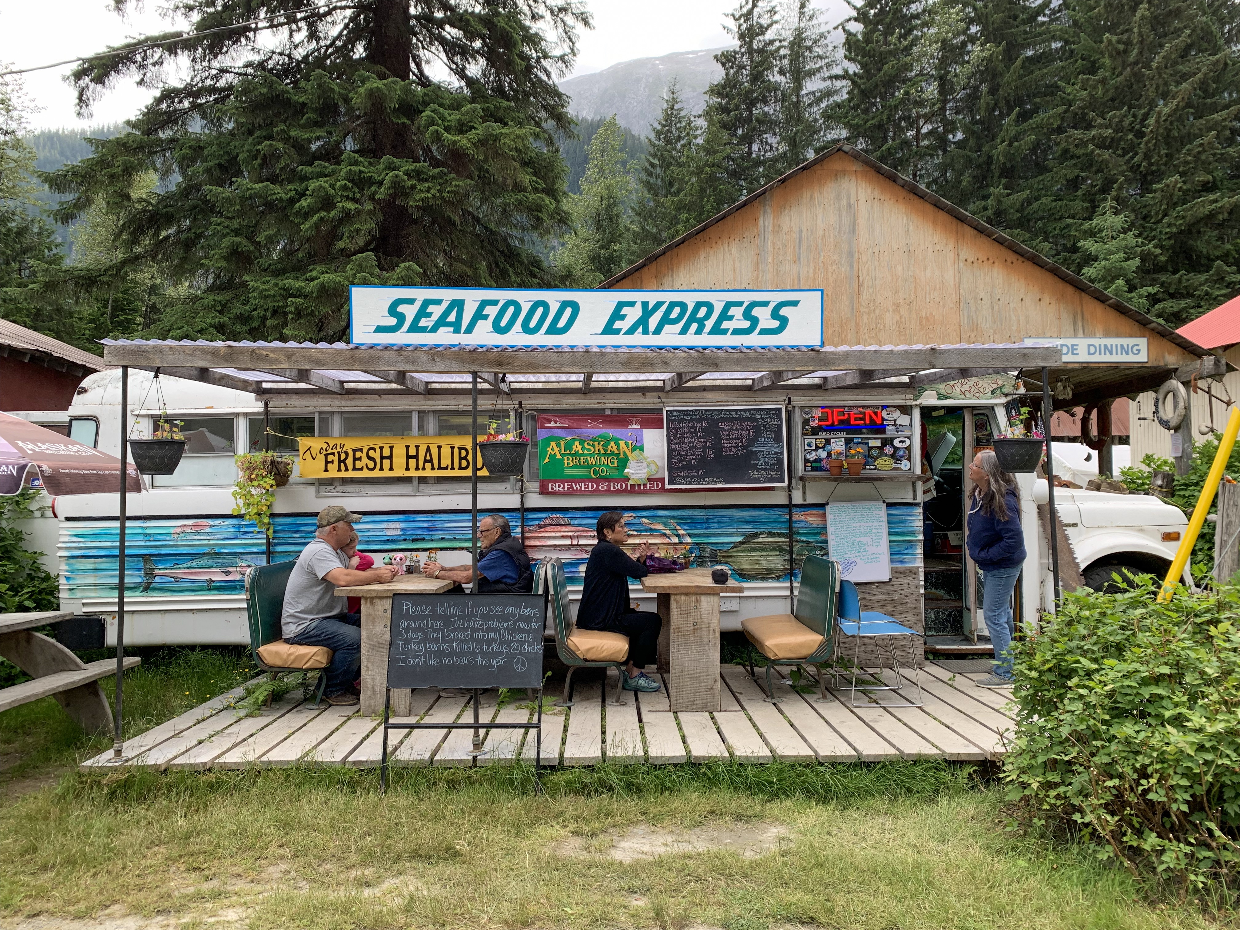
The best halibut fish and chips you can imagine…..
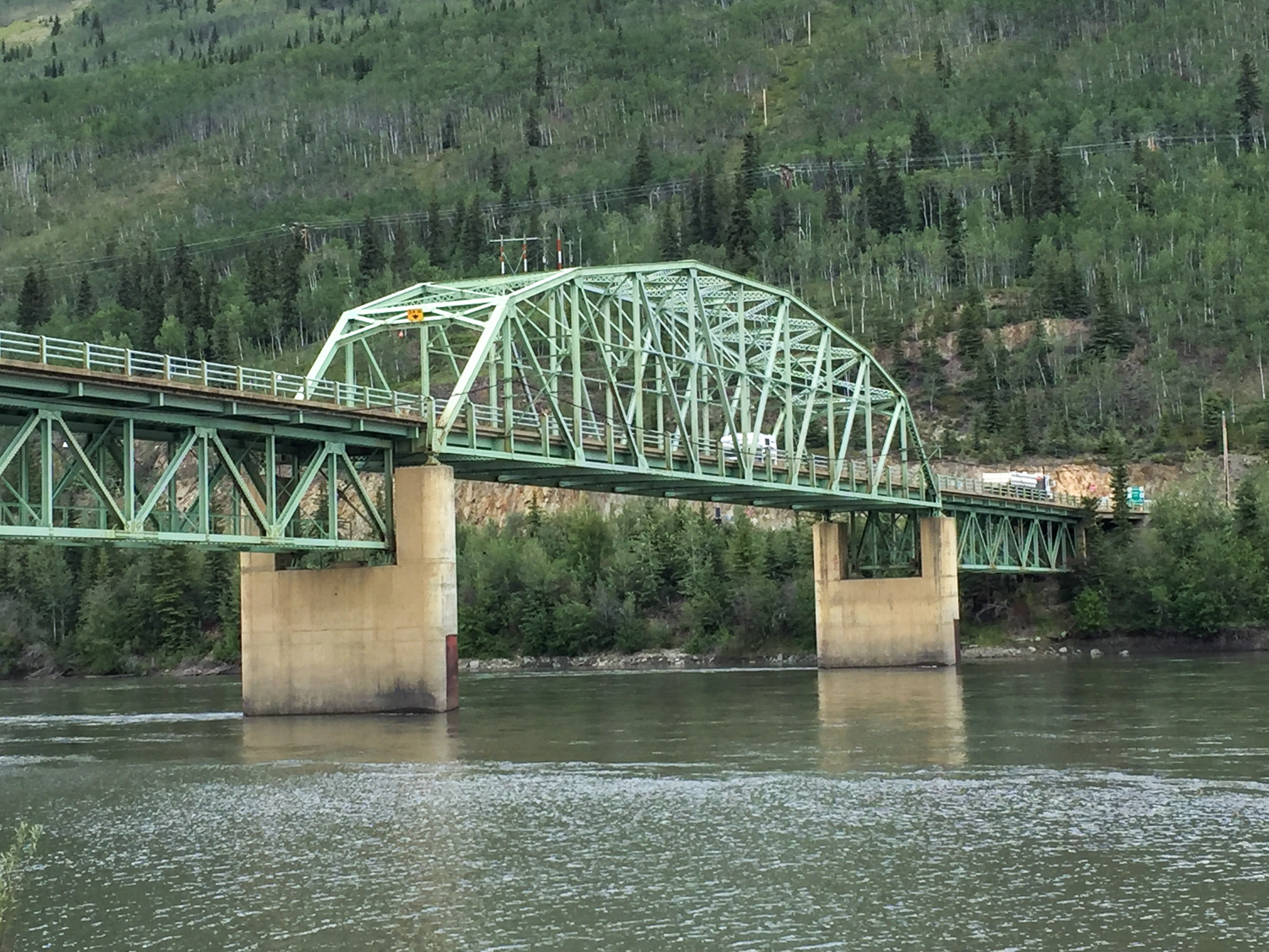
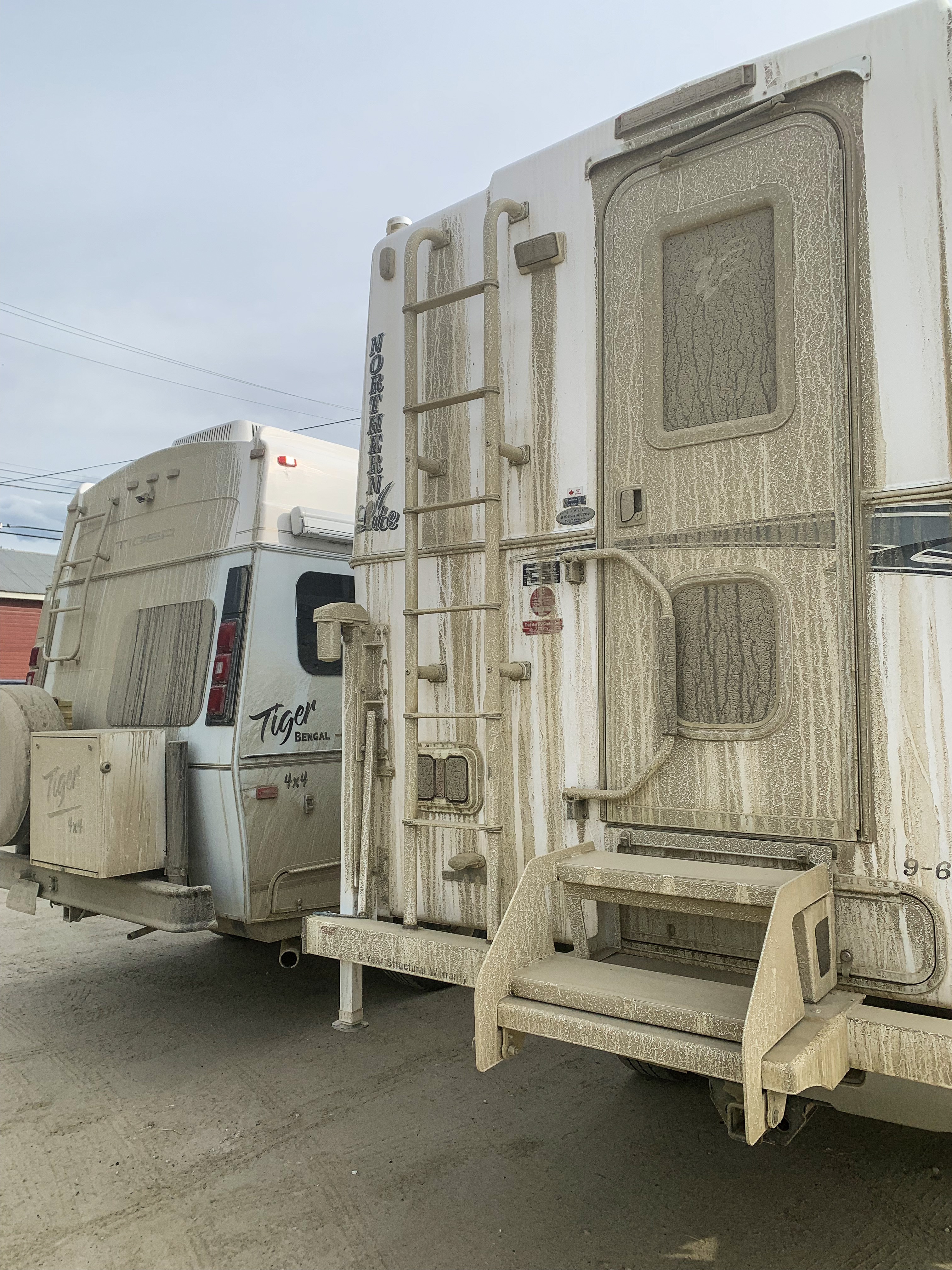
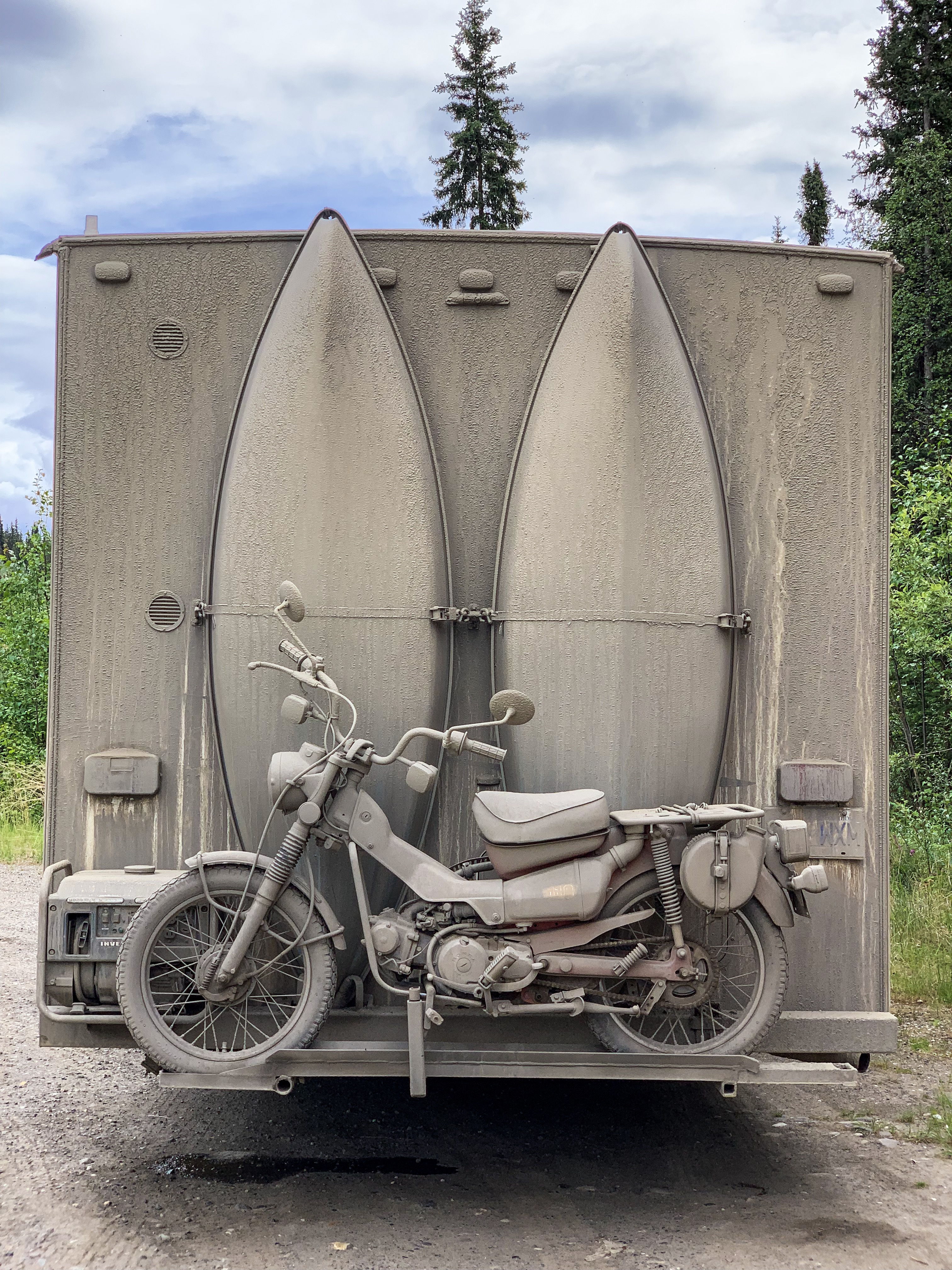
Finding the northward-bound Alaska traffic to be annoying (we now feel entitled to have Alaska and all her campgrounds to our selves), we decided to get off the Alaska Highway at Watson Lake and head south on the lesser-traveled Cassiar Highway.
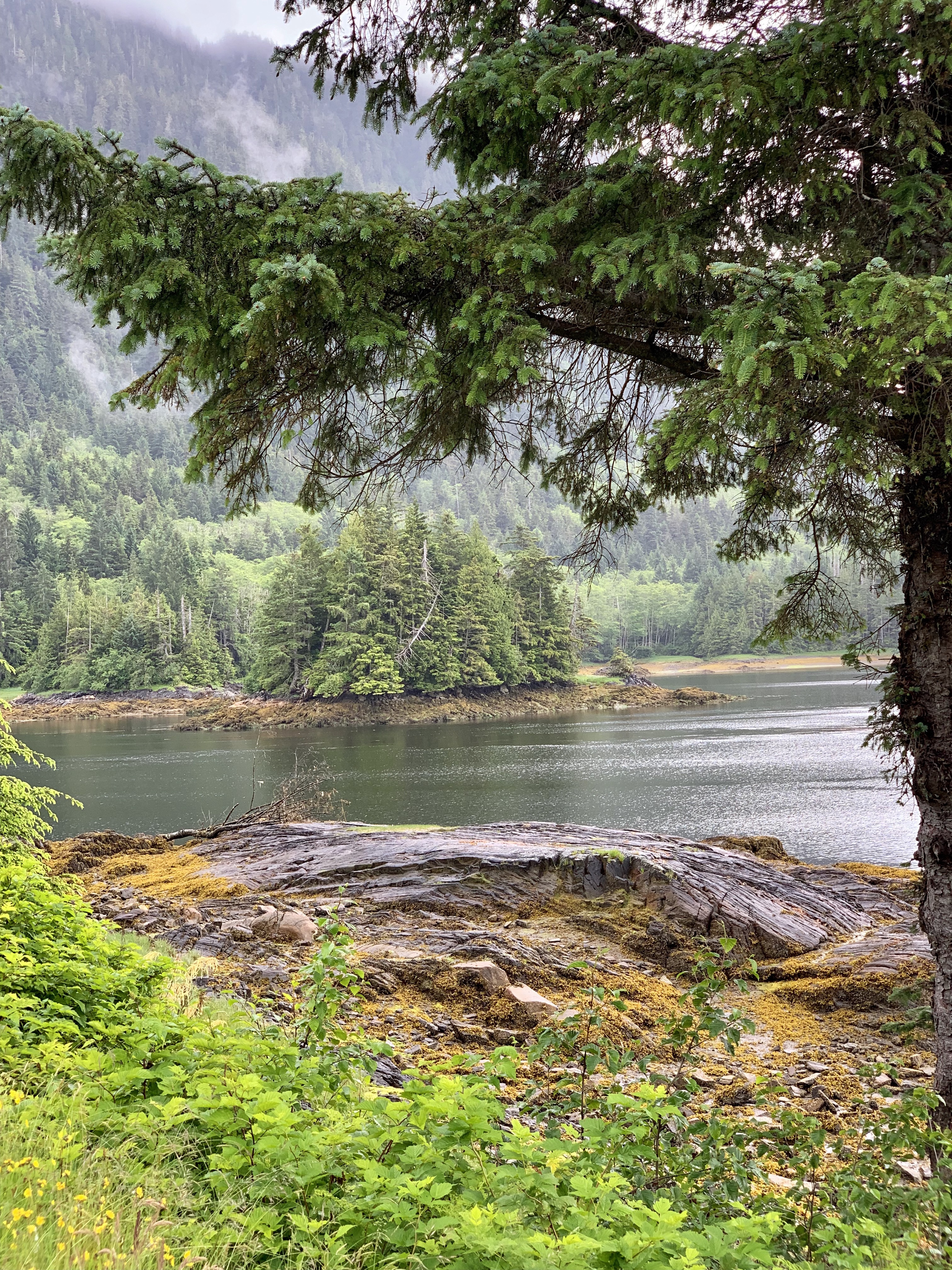
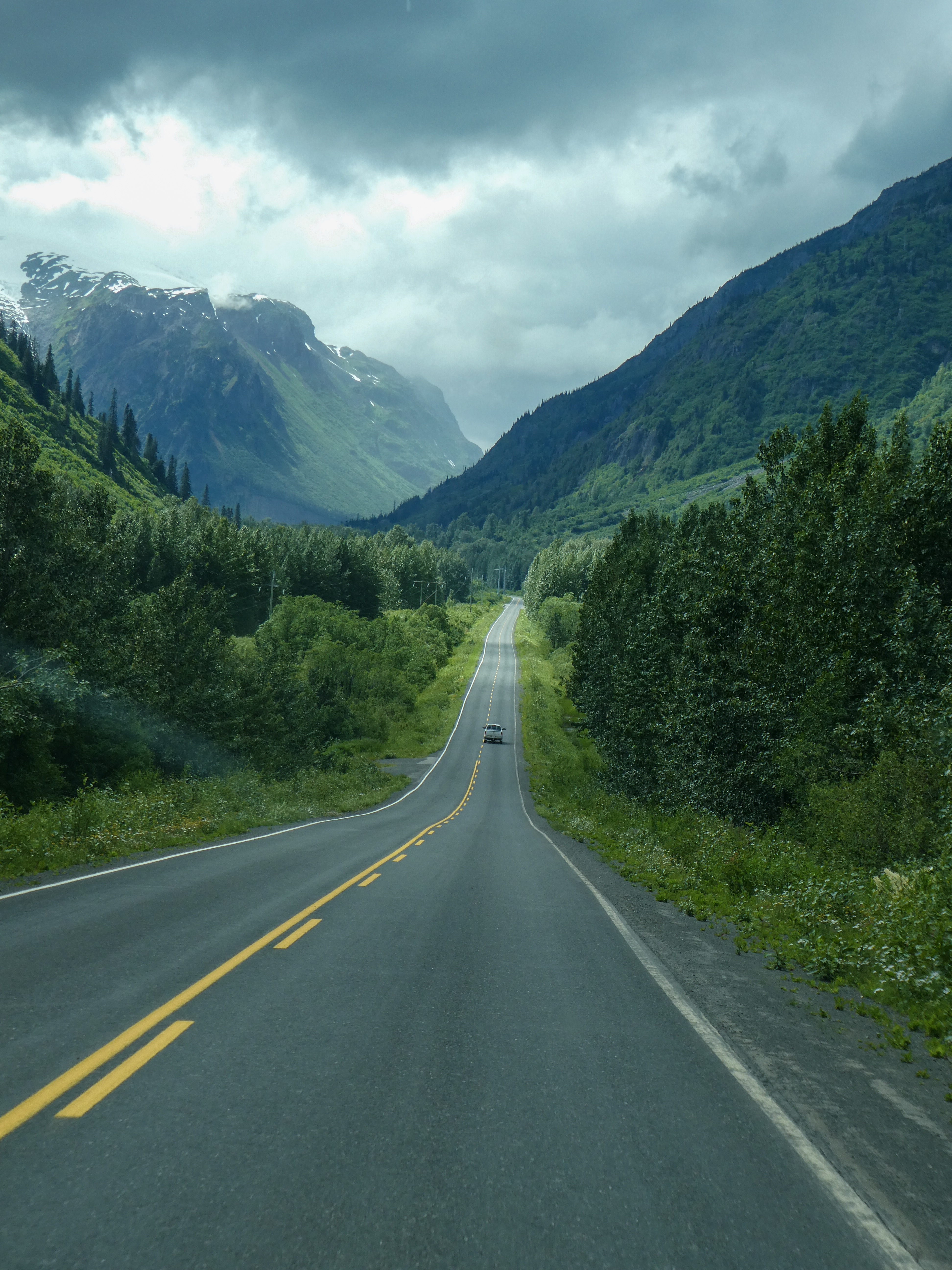
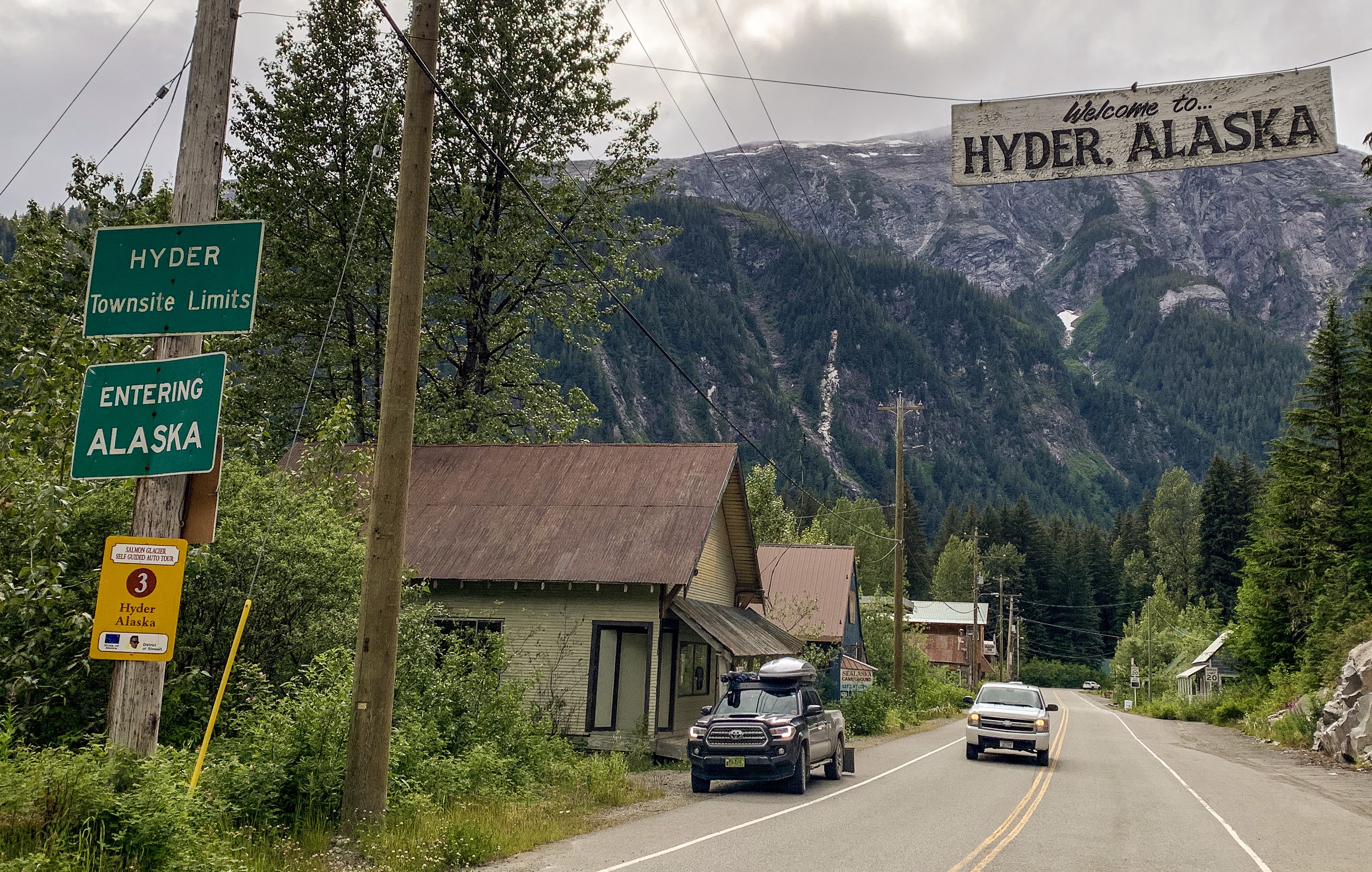
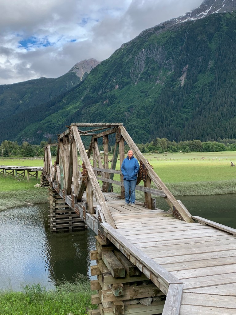
Briefly leaving the Cassiar Highway, we drove through the beautiful coast mountains and along the Portland Canal to the twin towns of Stewart, B.C. and Hyder, Alaska, passing the Bear Glacier.
The Hyder – Stewart Border Crossing connects the communities of Hyder, Alaska and Stewart, British Columbia on the Canada–US border. It can be reached by British Columbia Highway 37A from Stewart and International Street from Hyder. There is no US border inspection station at this crossing, making it the only land border crossing where a person may legally enter the United States without reporting for inspection. The US closed its border station, which was located in the same building as the Boundary Gift Shop, in the late 1970s. As a result, all flights leaving the Hyder Seaplane Base to other cities in Alaska are treated as international arrivals, and all passengers, including Hyder residents, must be inspected by U.S. Customs and Border Protection officers. Hyder is the easternmost community in Alaska.
On April 1, 2015, the Canada Border Services Agency (CBSA) decided to close its border station at Stewart between midnight and 8:00AM Pacific as a cost-cutting measure. The road was closed with a steel gate when the station is closed, cutting off the only road entry point into Hyder. The decision was met with protests from Hyder residents, as they rely on Stewart for health care and mainland road access, although the Canadian authorities reassured that the residents would continue to have access to emergency services. The move also inconvenienced people wishing to cross the border early, such as mine workers working in mines accessible only via Hyder, as well as tourists entering Hyder for bear viewing. Following discussions between US and Canadian officials, starting in June 2015 the road is reopened for 24-hour access. Anyone crossing into Canada after border station hours is required to report to CBSA by video telephone.
Wikipedia


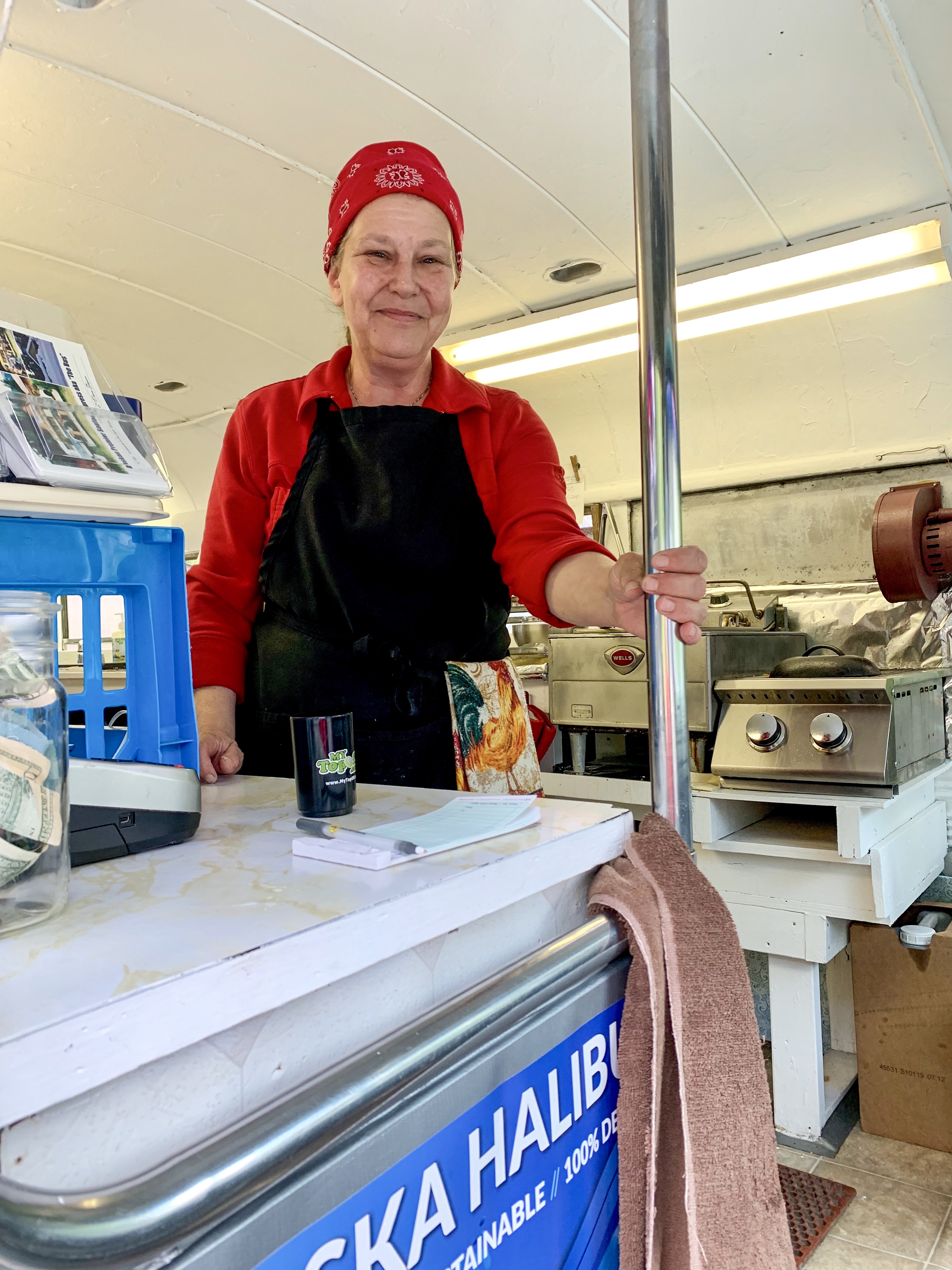
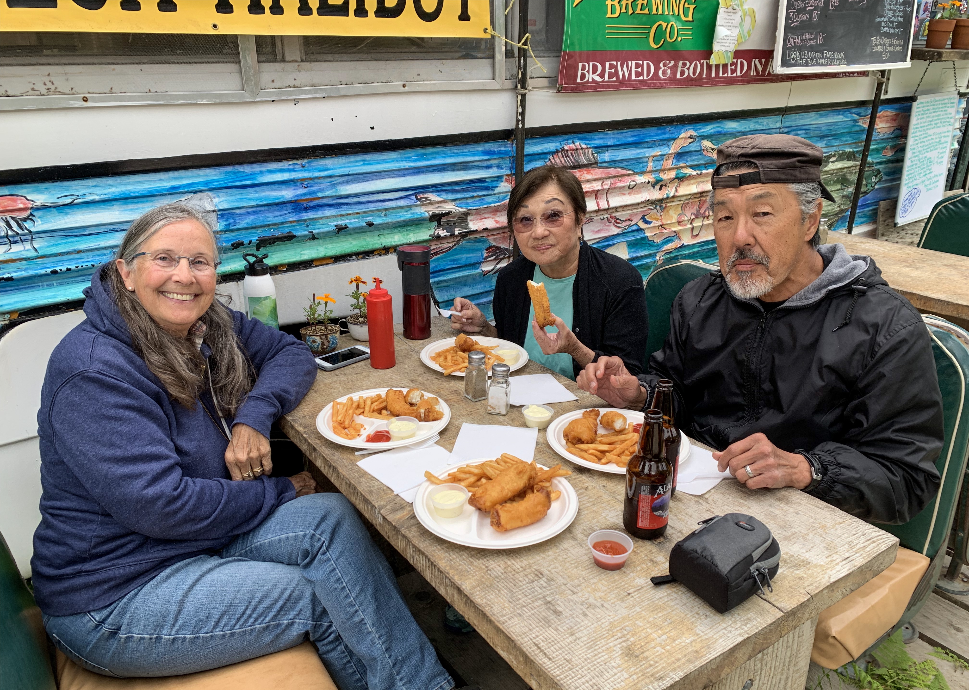
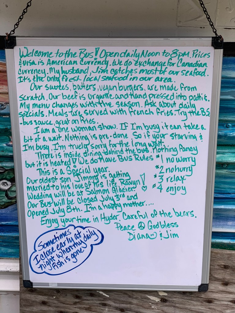
Upon enquiring of a local Stewart resident as to the location of a good seafood restaurant, she said we had to try “The Old school Bus” in Hyder
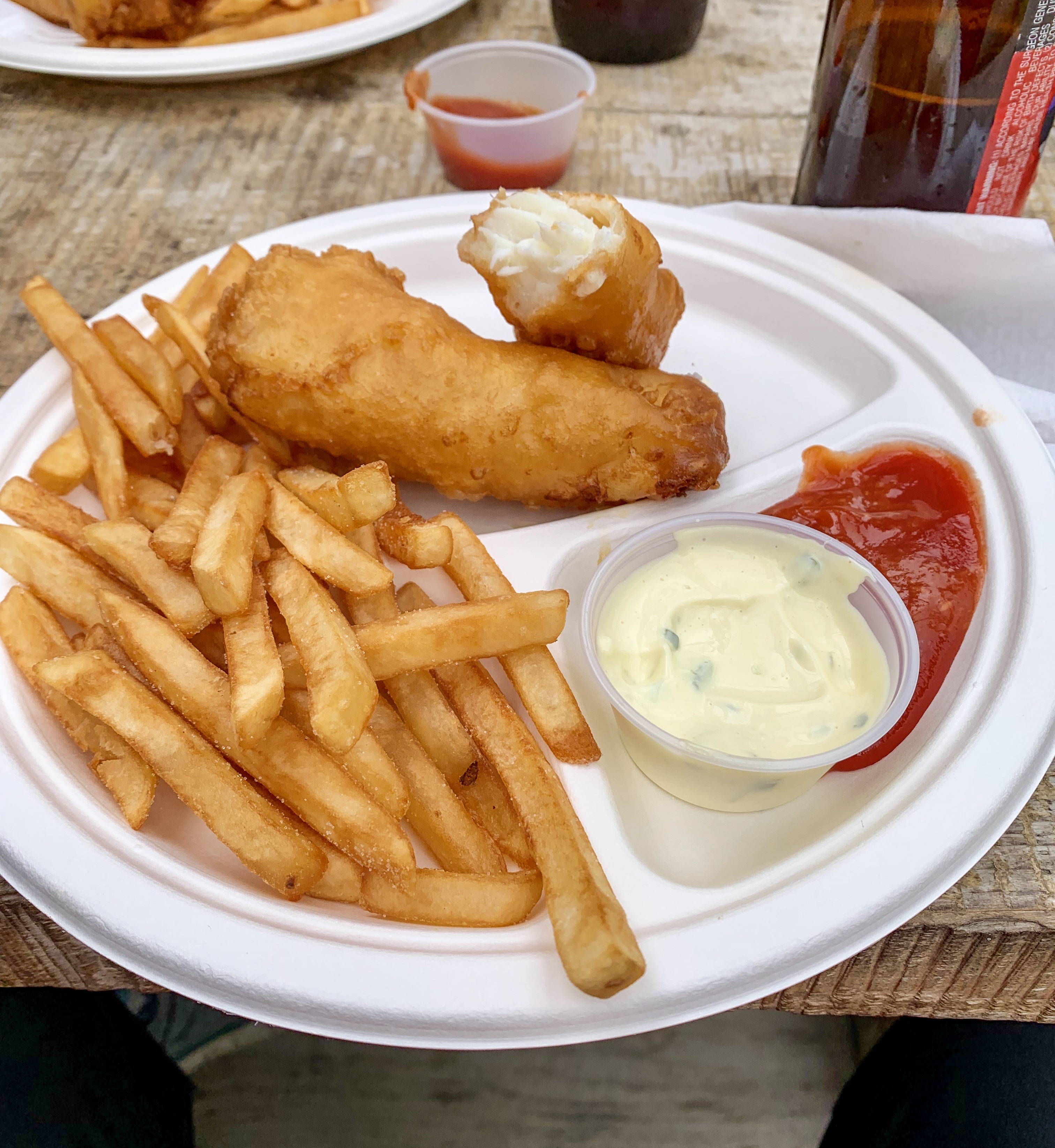
Diana and Jim run a small business in Hyder. Jim fishes for halibut each morning and Diana cooks them up fresh each afternoon and evening. We all agreed that this was the best deep fried halibut in all of Alaska! The whole town of Stewart, including the Canadian Border Guards are regulars at the “Old School Bus”!
If you have a bit of extra time, read the photos of the hand lettered signs below, to get a feel for the ambiance of Stewart & Hyder
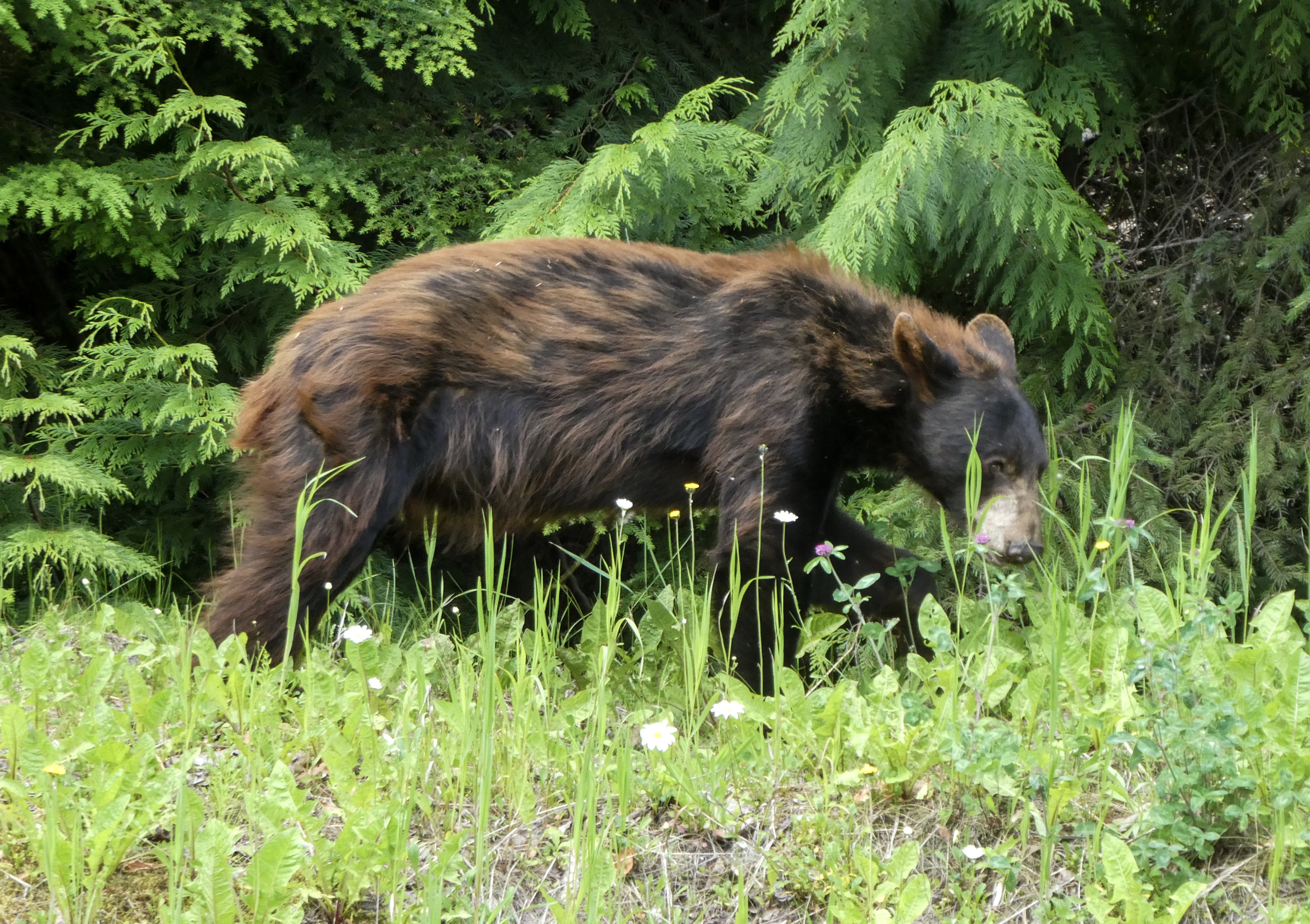
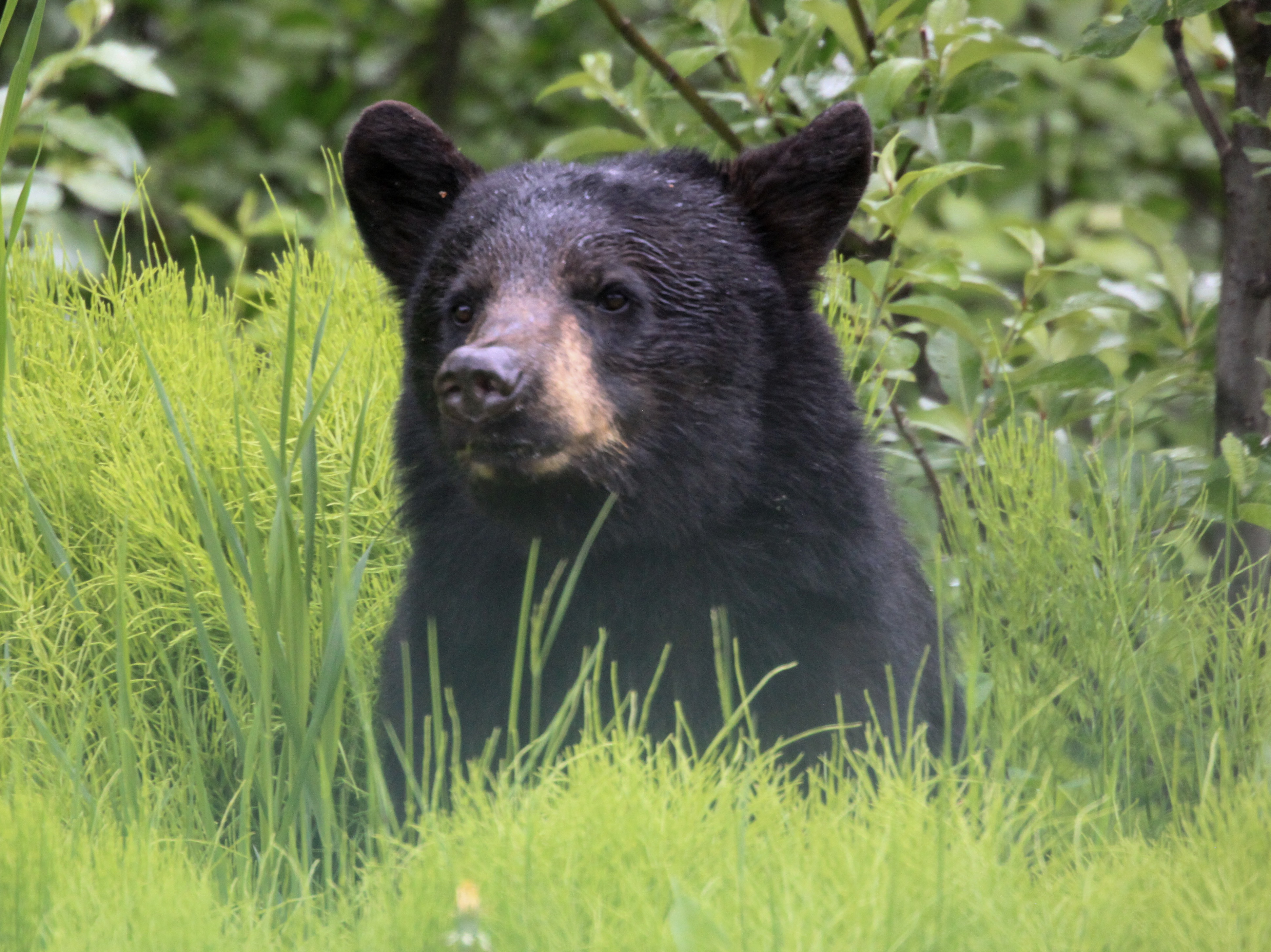
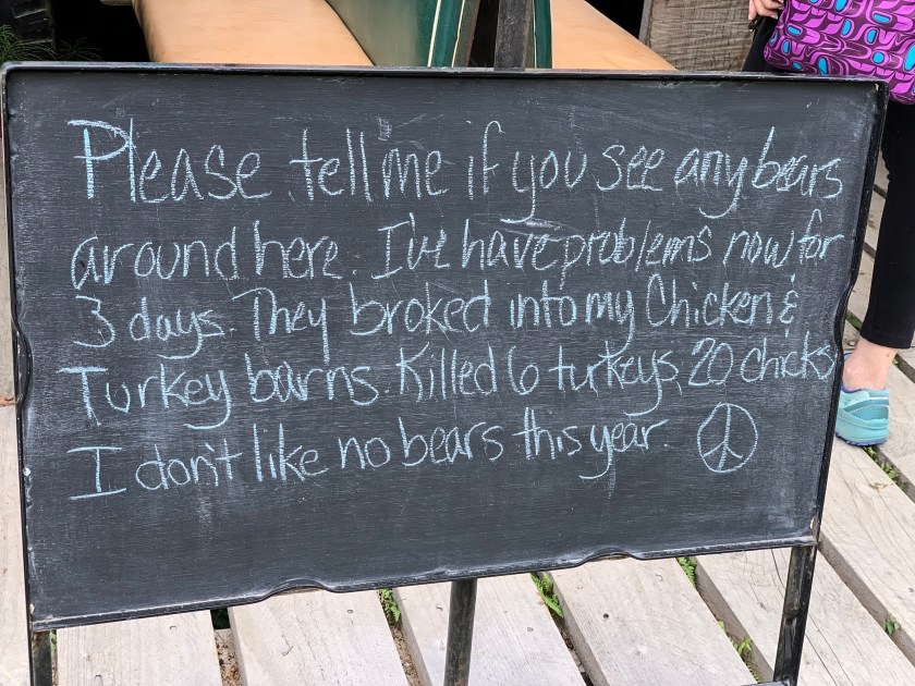
Bears were out roaming all over town. We were told a story that afternoon of a bear climbing into a man’s pickup truck and sitting in the drivers seat eating his lunch scraps. Sally was followed back from the campground toilet by a black bear. Just part of life here, apparently! Read Diana’s sign below.
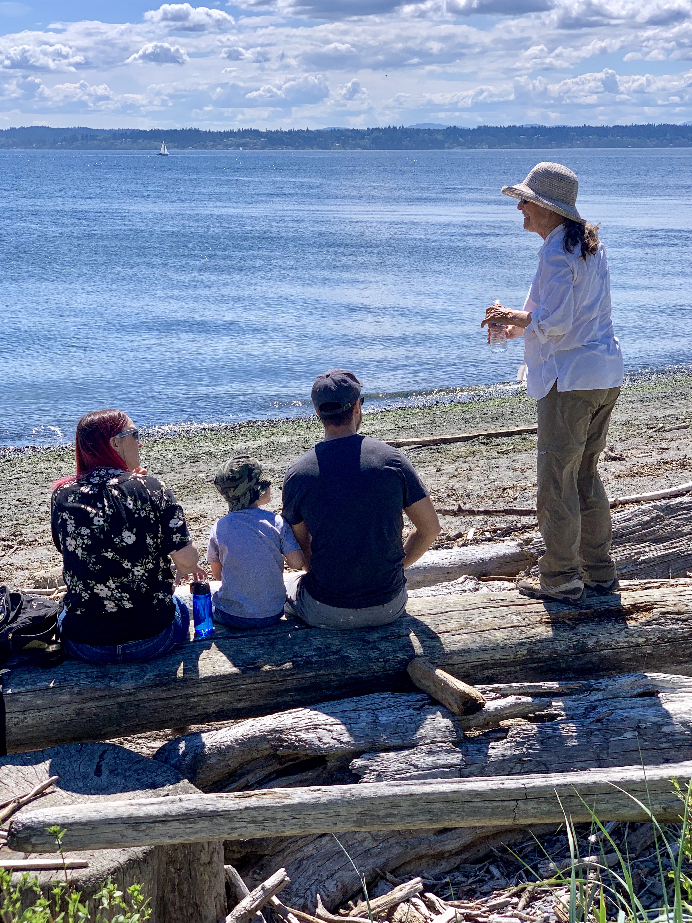
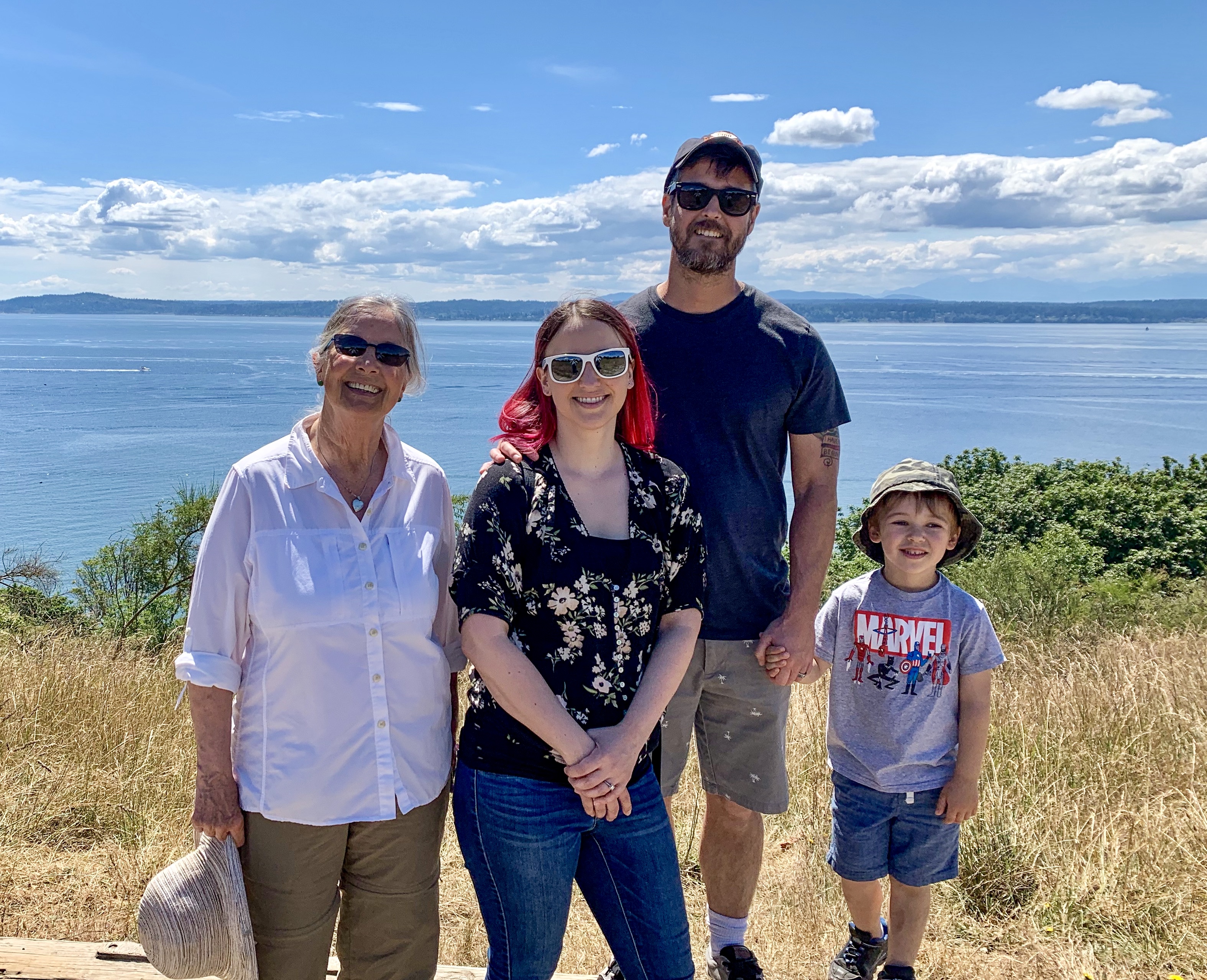
Sally asked me to drop her off in Seattle to see Julie and family, so our route would now take us directly south. Ray and Shirley decided to head for home in a more easterly direction, so we decided to part ways in Kitwanga. The trip was certainly not the same without them!

Next Post: Prince Rupert to Seattle (Bothell)
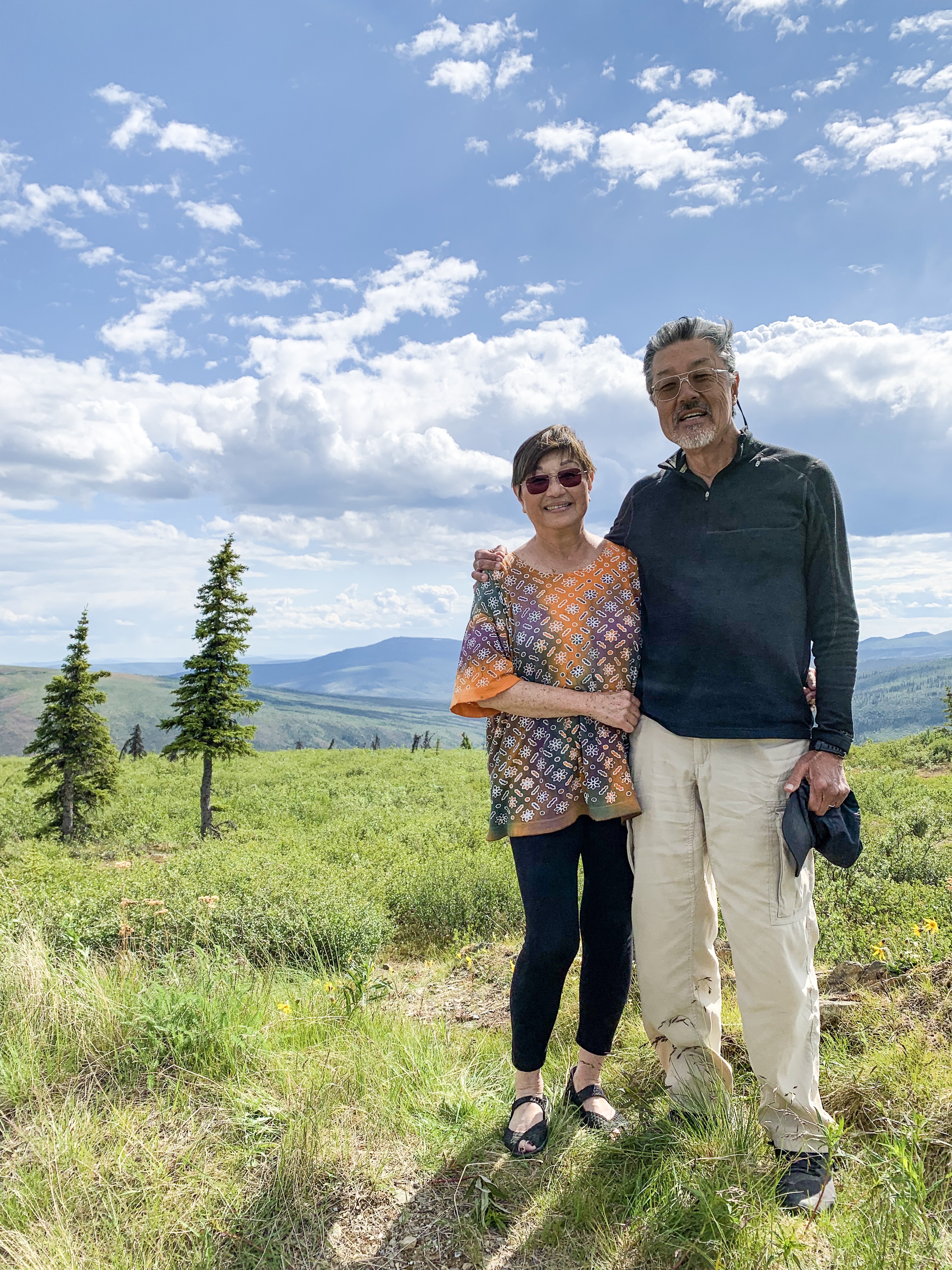
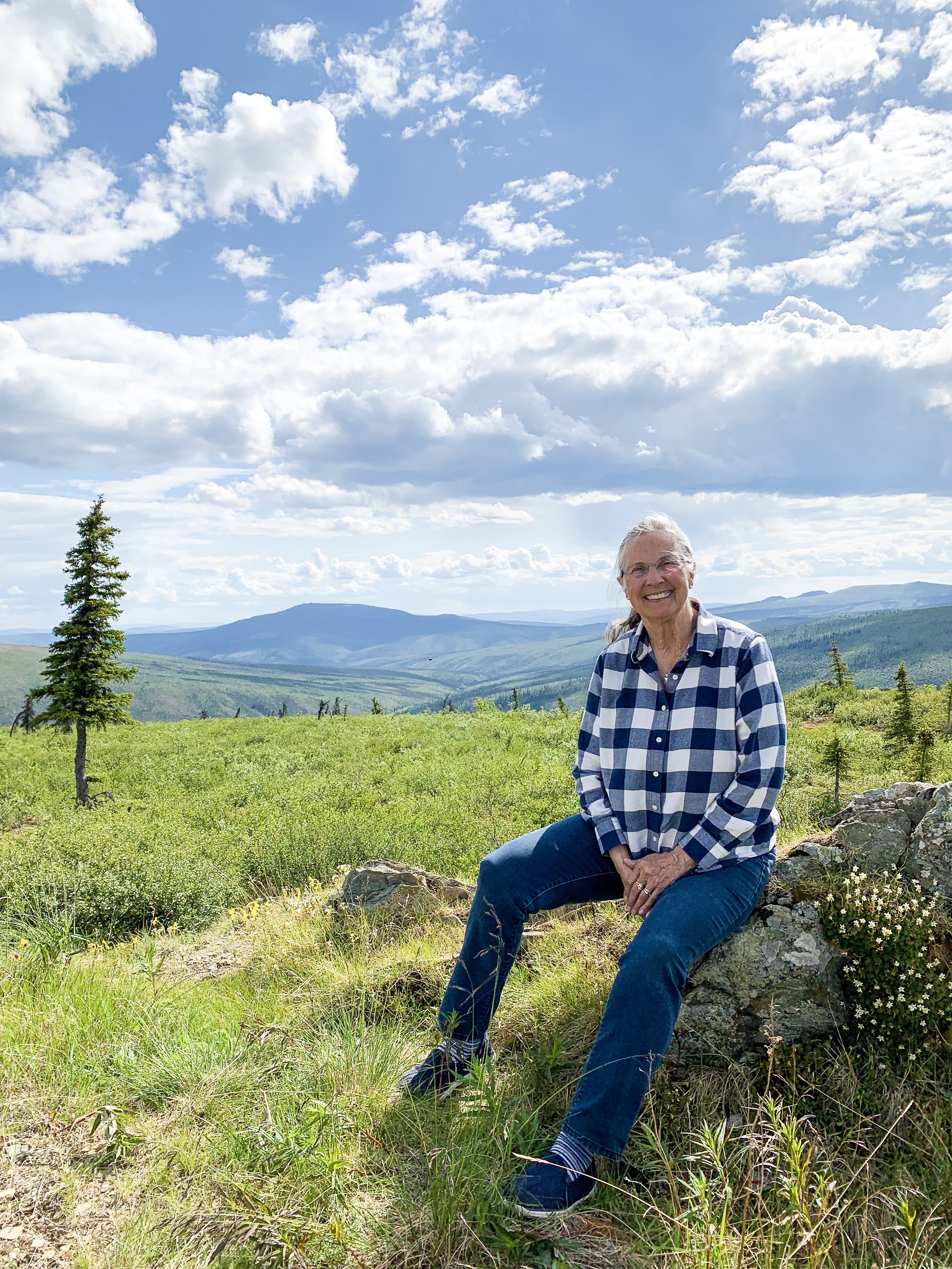
We are beginning to have slightly shorter days as we begin the homeward arc.
In Eagle, Alaska and Dawson City, Yukon, there was only 2 hours between sunset and sunrise and the “night” was was just a bit dusky with no stars visible. In fact we have not seen stars for a month!
“The Klondike Highway links the Alaskan coastal town of Skagway to Yukon’s Dawson City. Its route somewhat parallels the route used by prospectors in the 1898 Klondike Gold Rush.

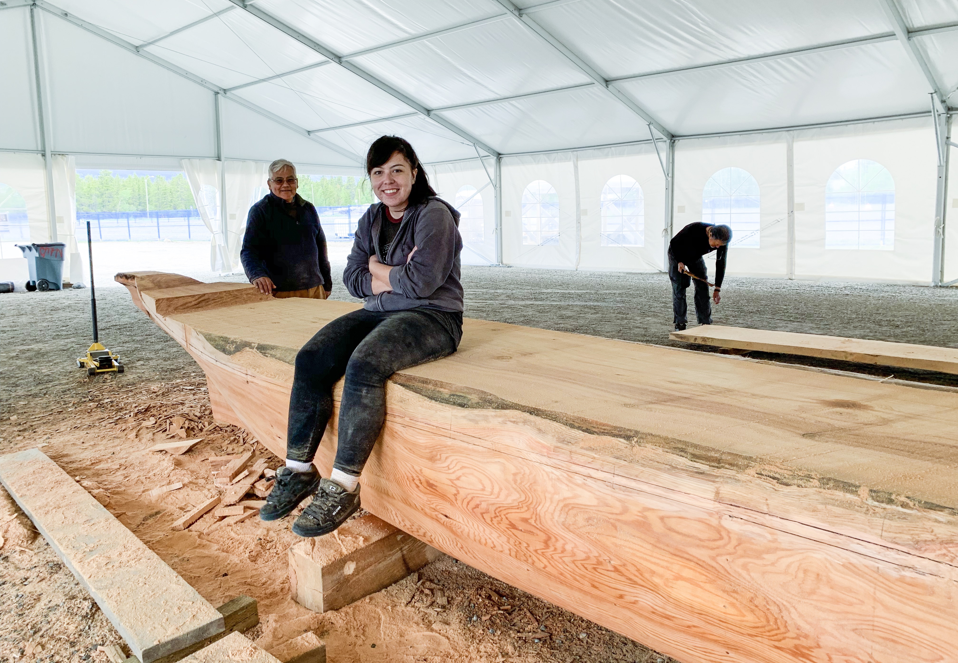
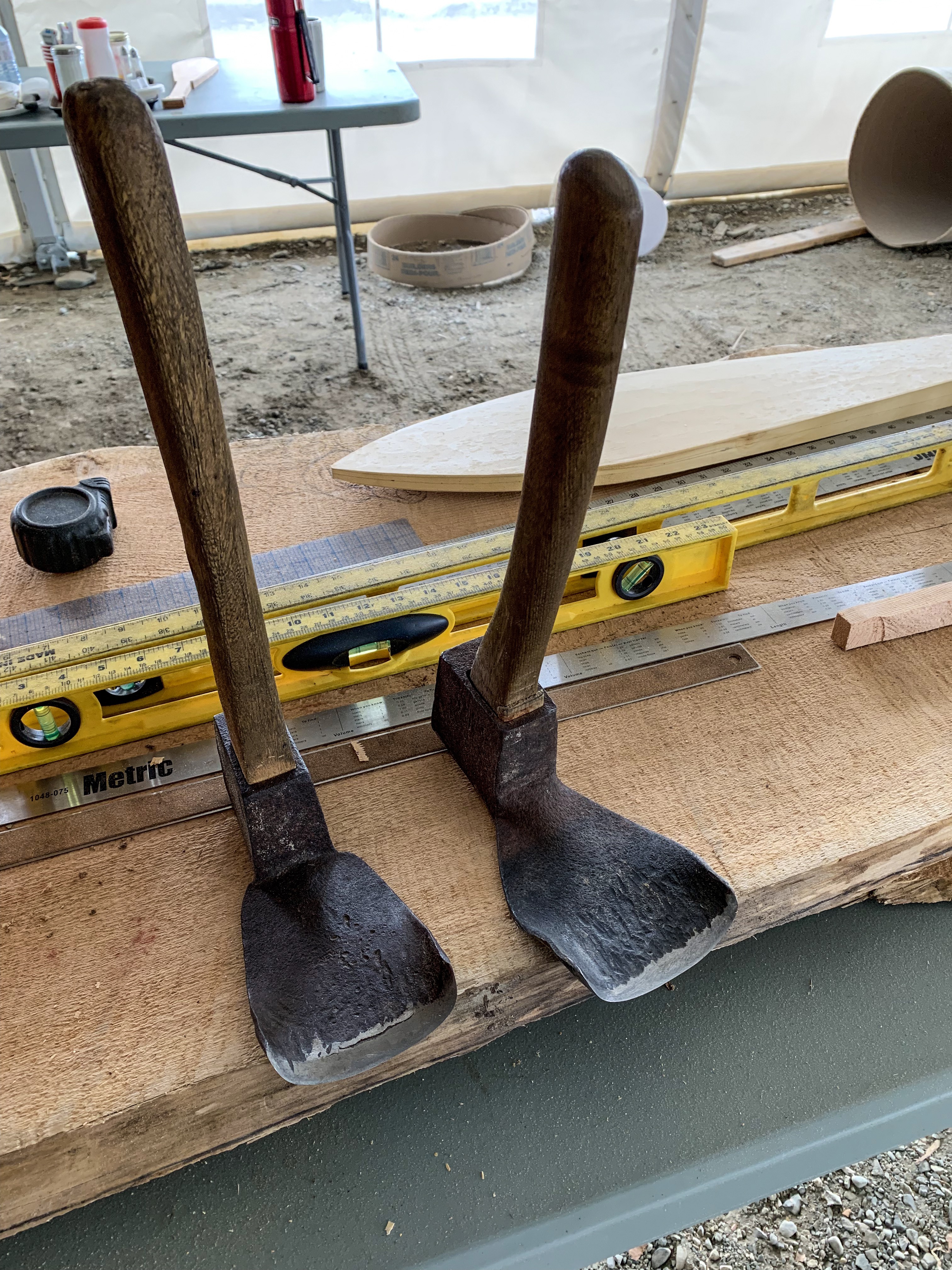
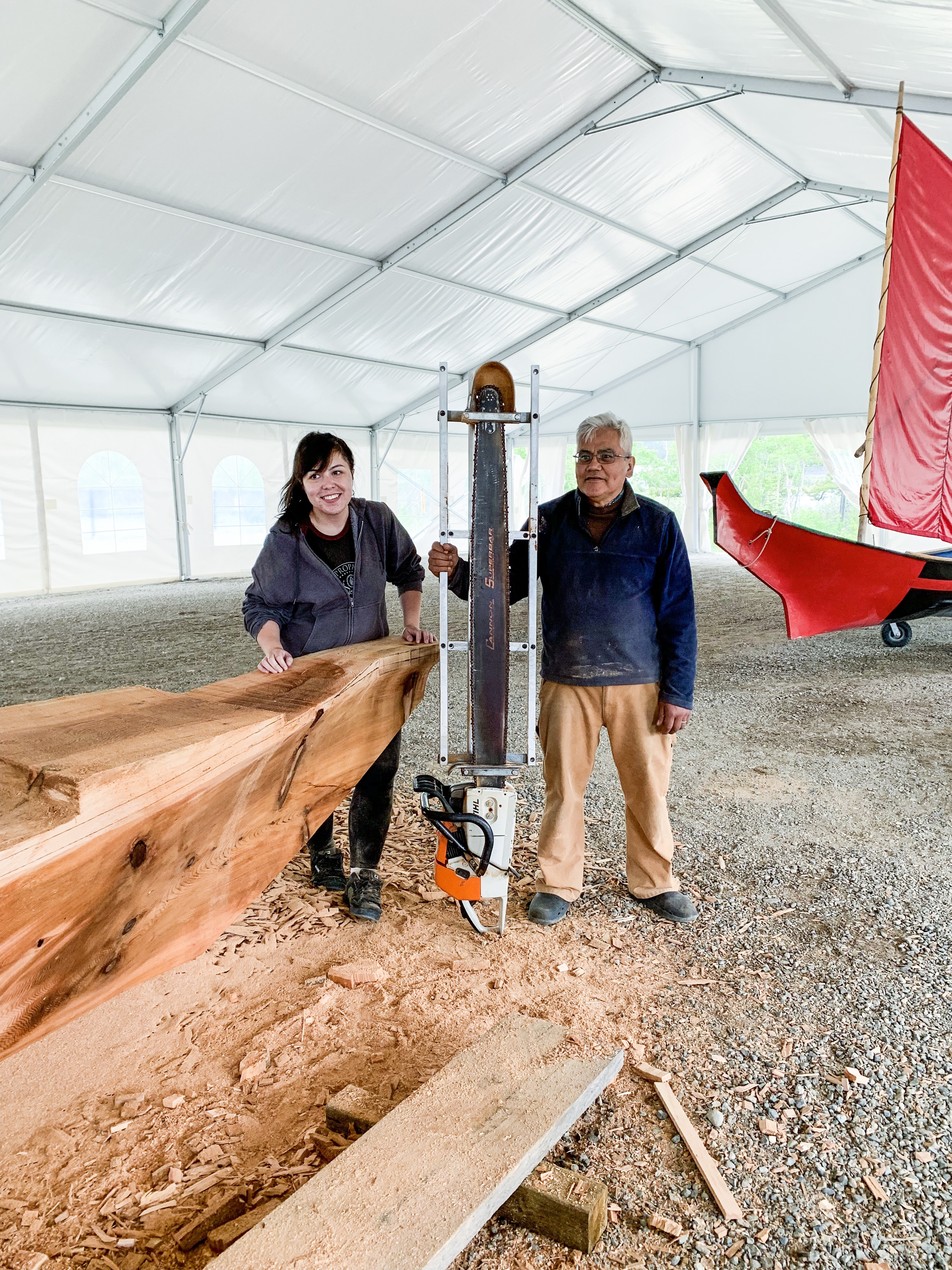
We stopped at the Tage Cho Hudan Interpretive Centre In Carmacks, YT showcasing the past and present culture of the Northern Tutchone people and viewed a traditional canoe being made.
A master carver is beginning to carve a cedar canoe in the traditional way. For this project, he has taken on a female apprentice who has recently studied canoe building and returned home. To procure a log of the required size, he needed to get a log from Prince Edward Island, all the way from Eastern Canada.
He explained that he had been an alcoholic, but after pursuing a vision quest he was told to quit alcohol and to begin building healing canoes. Chips people write name healing burnt healing ceremony Help addiction
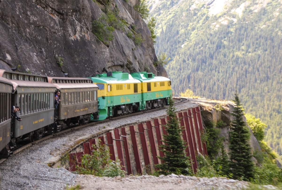
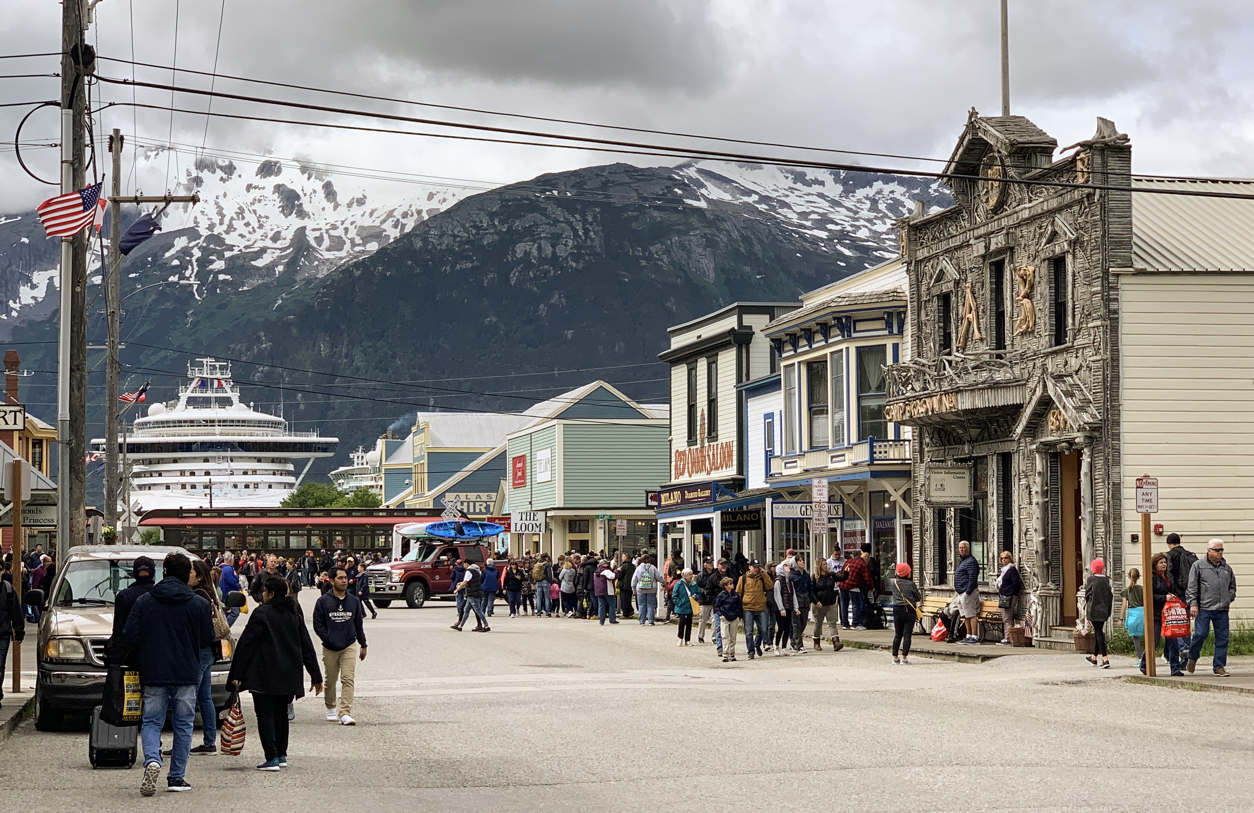
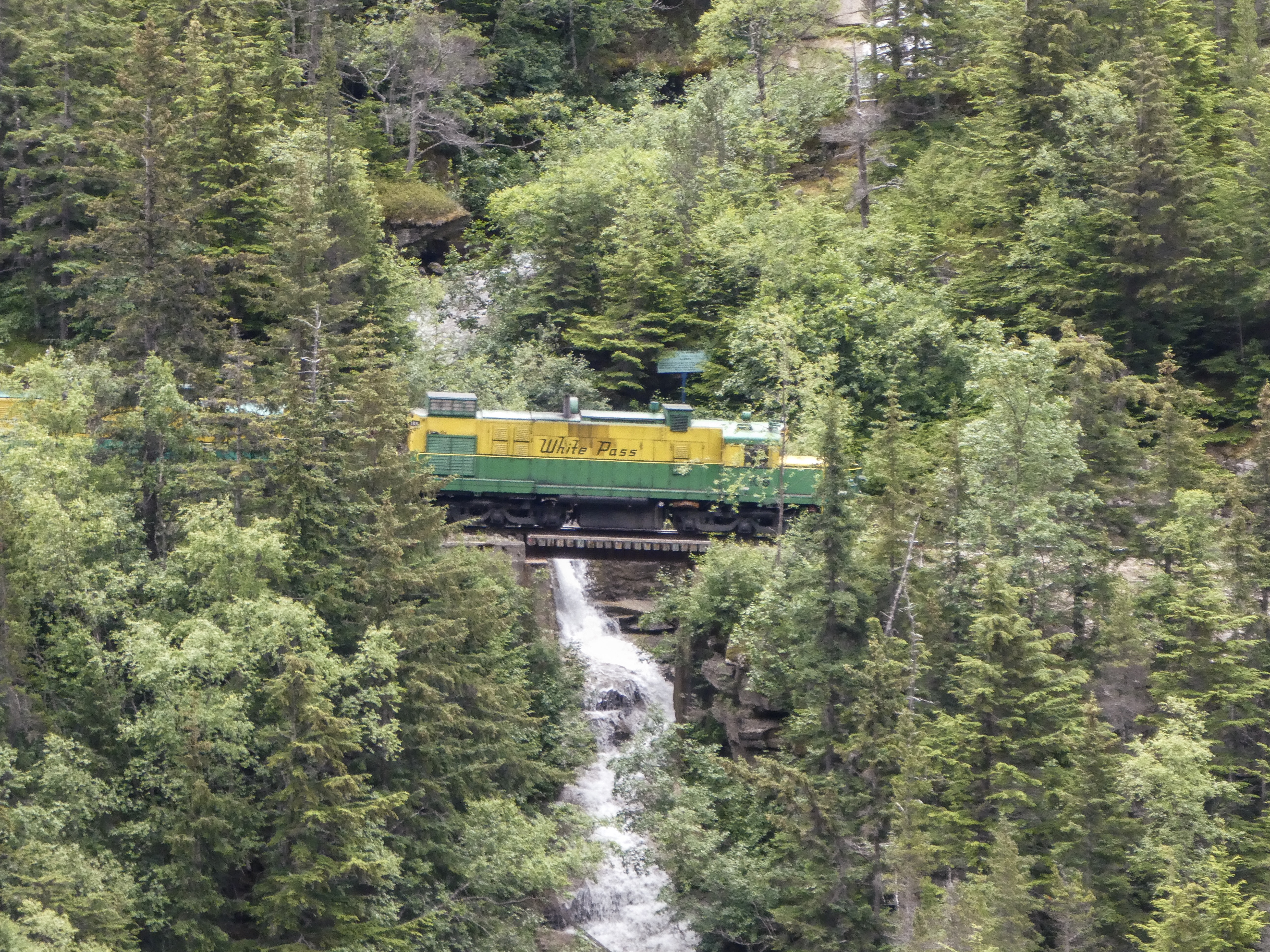
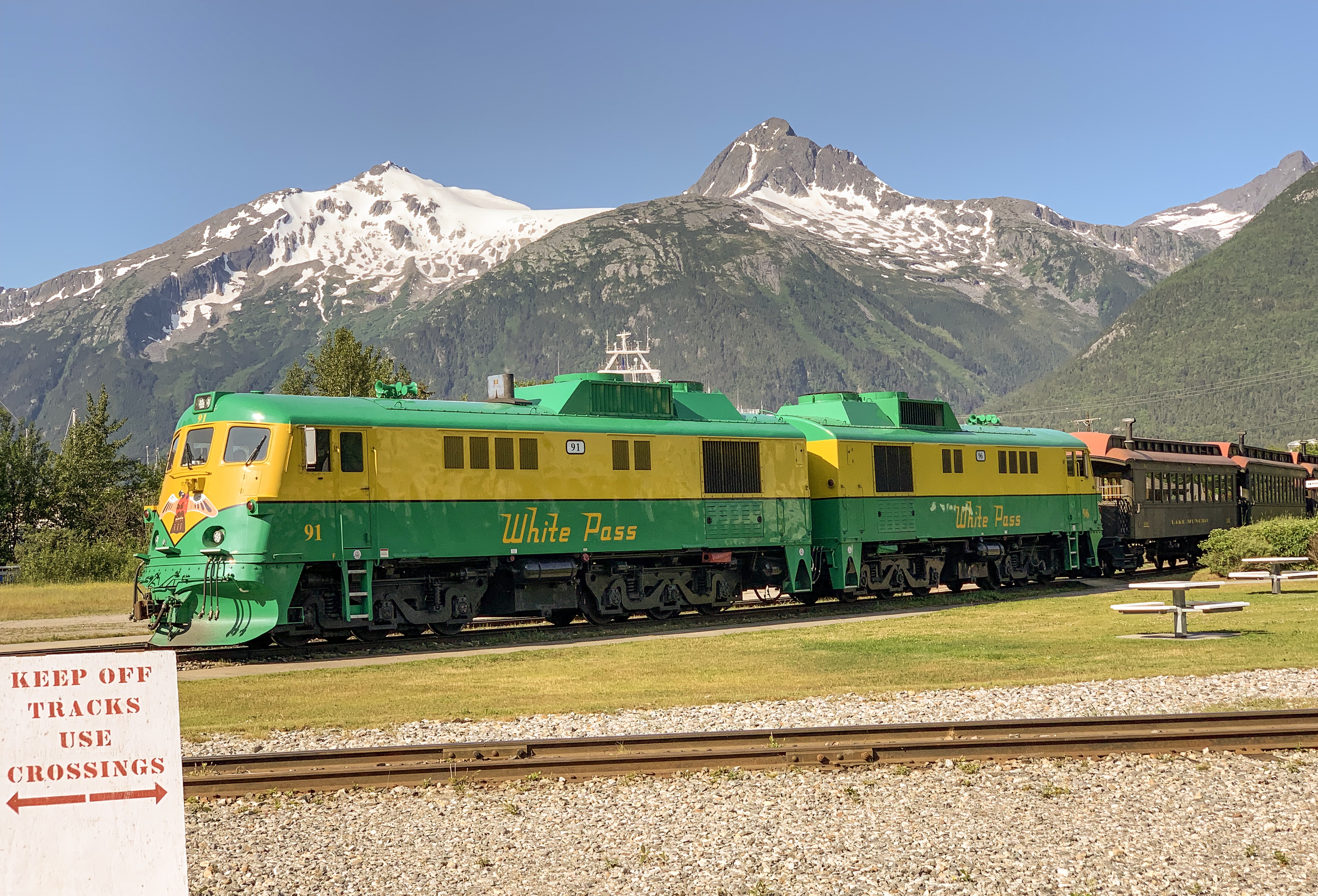
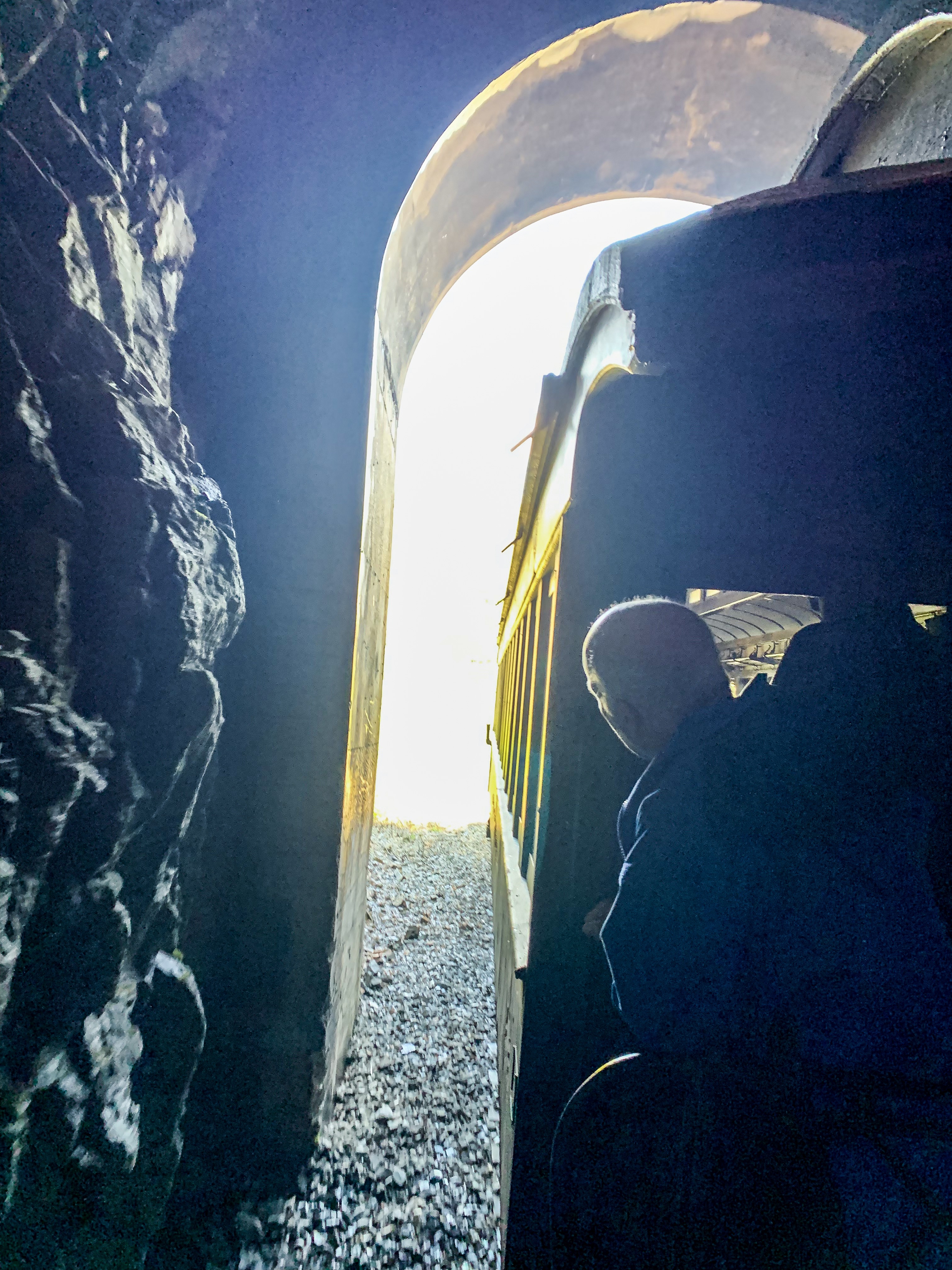
Skagway, in southeast Alaska, set along the popular cruise route the Inside Passage. It’s home to gold-rush-era buildings, now preserved as part of the Klondike Gold Rush National Historical Park. The White Pass & Yukon Route Railroad runs vintage locomotives past the famously steep Chilkoot trail and offers sweeping mountain views during its climb toward Canada.
In 1896, before the Klondike gold rush had begun, a group of investors saw an opportunity for a railroad over that route. It was not until May 1898 that the White Pass and Yukon Route began laying narrow gauge railroad tracks in Skagway.
The population of the general area increased enormously and reached 30,000, composed largely of American prospectors. Some realized how difficult the trek ahead would be en route to the gold fields, and chose to stay behind to supply goods and services to miners. Within weeks, stores, saloons, and offices lined the muddy streets of Skagway. The population was estimated at 8,000 residents during the spring of 1898 with approximately 1,000 prospective miners passing through town each week. By June 1898, with a population between 8,000 and 10,000, Skagway was the largest city in Alaska.
The prospectors’ journey began for many when they climbed the mountains over the White Pass above Skagway and onward across the Canada–US border to Bennett Lake, or one of its neighboring lakes, where they built barges and floated down the Yukon River to the gold fields around Dawson City.
By 1899, the stream of gold-seekers had diminished and Skagway’s economy began to collapse. By 1900, when the railroad was completed, the gold rush was nearly over.
Wikipedia
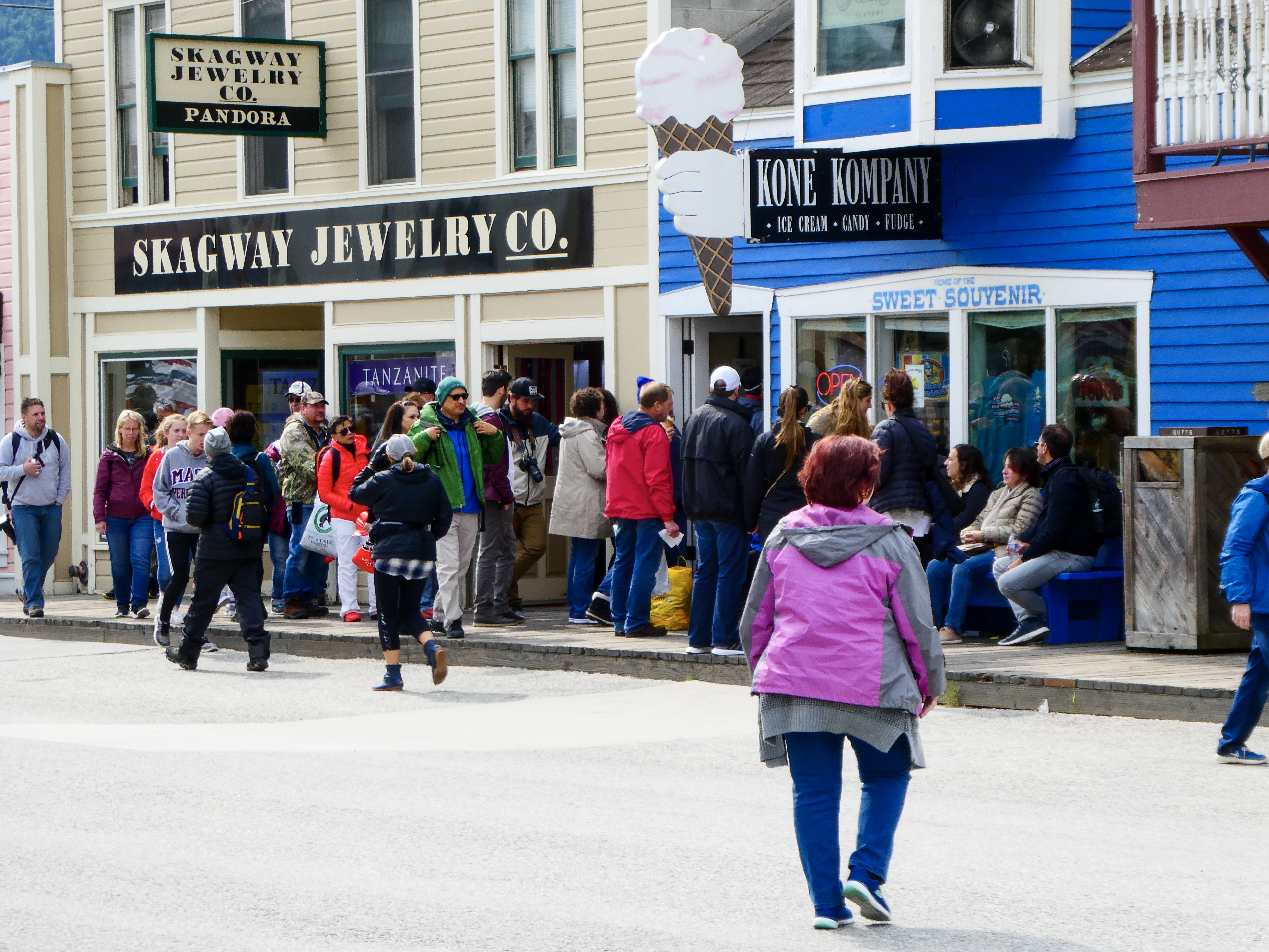
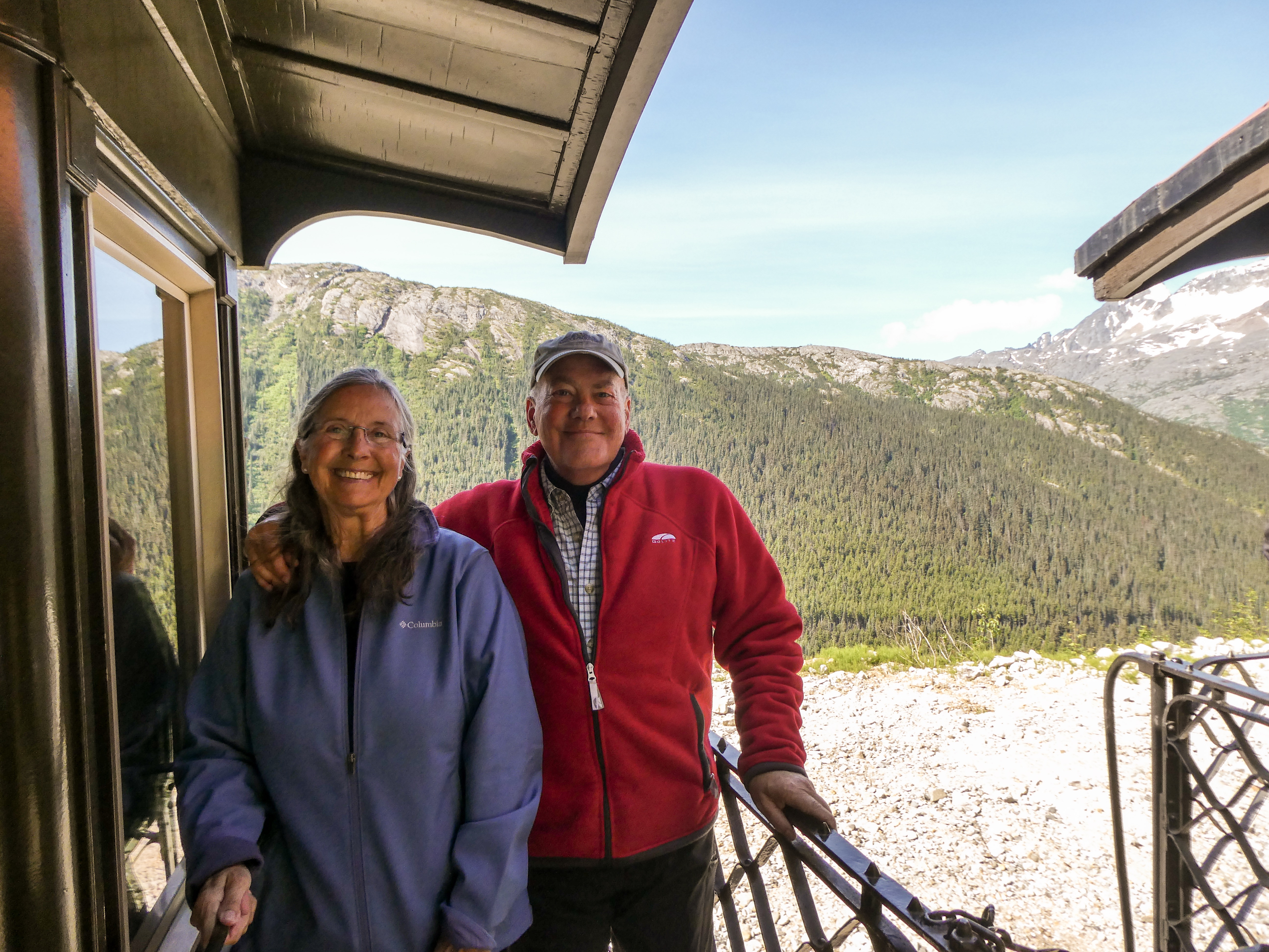
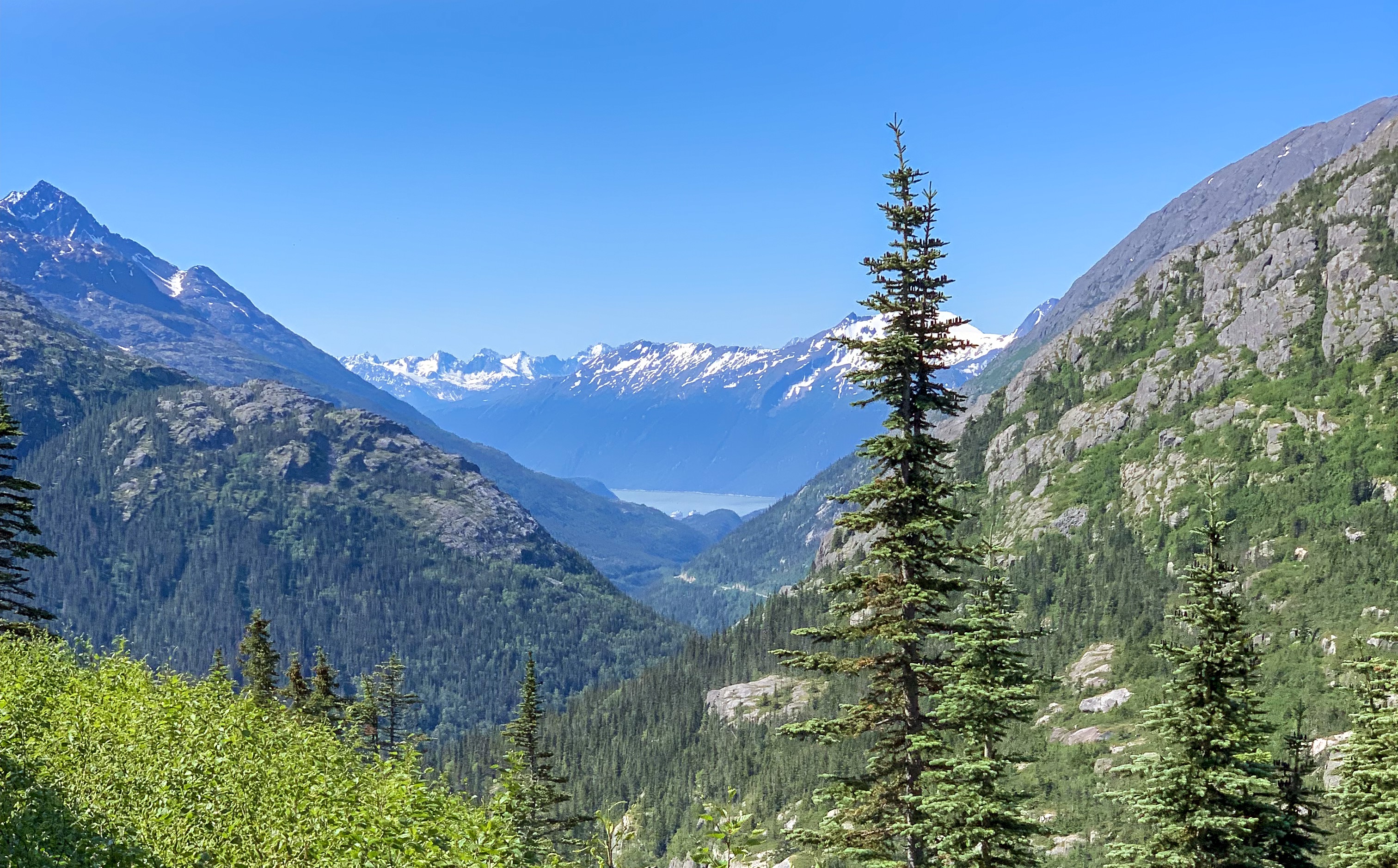
These days, Skagway is home to numbers of cruise ships and other tourists. The drive in is gorgeous, but the city itself is largely one giant gift shop. However, but the ladies were quite interested on a ride on the White Pass and Yukon Route Scenic Railway, which was a quite lovely and fun way to explore the Klondiker’s route to the pass.
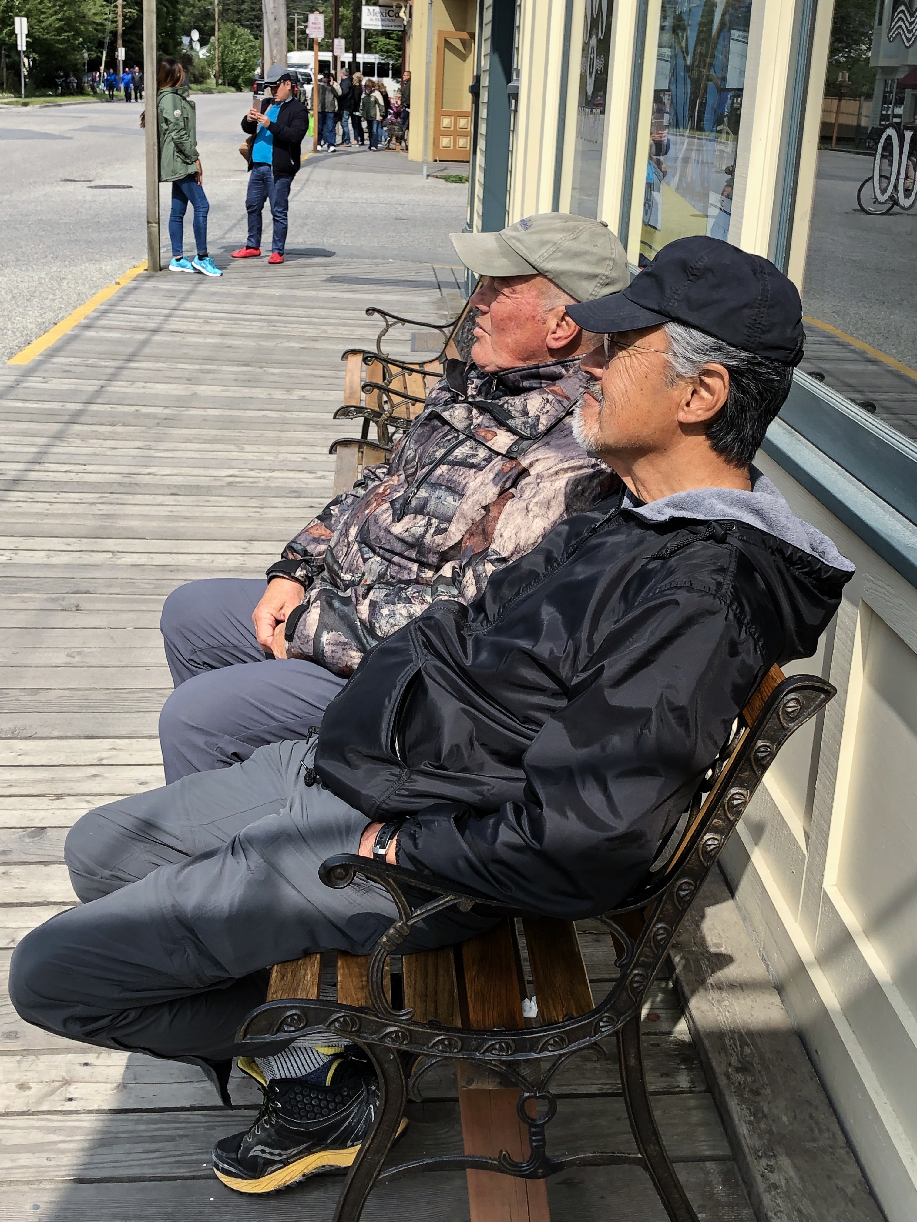
Skagway City: Ray and I found lovely benches
The White Pass and Yukon Route Scenic Railway: gorgeous views


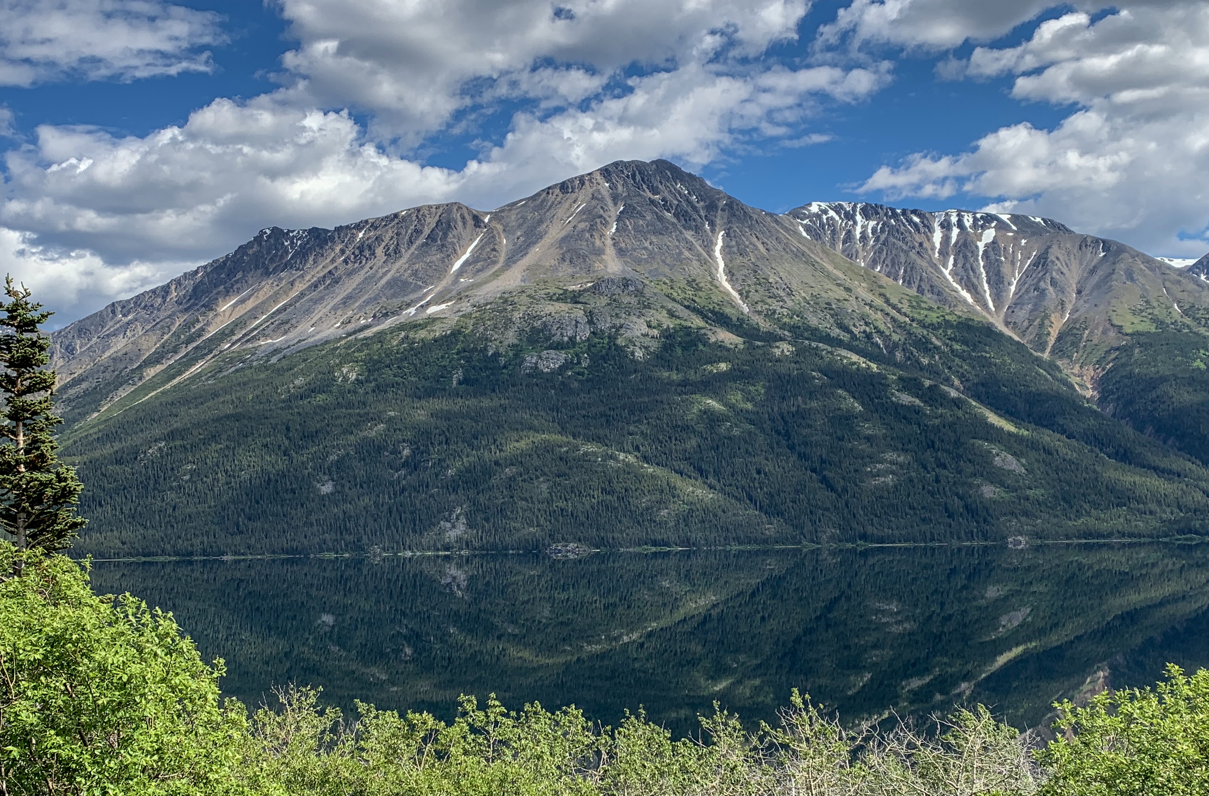
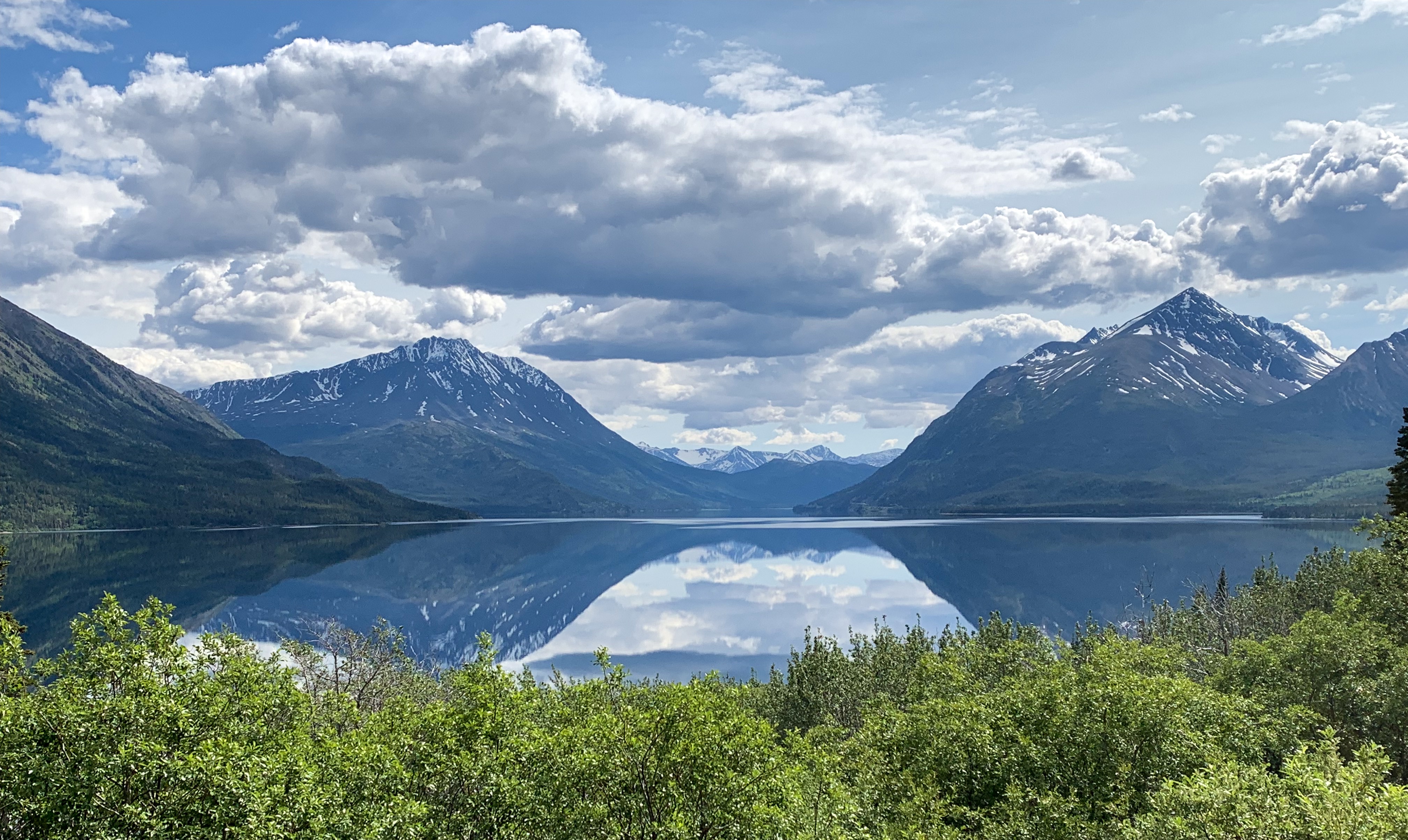
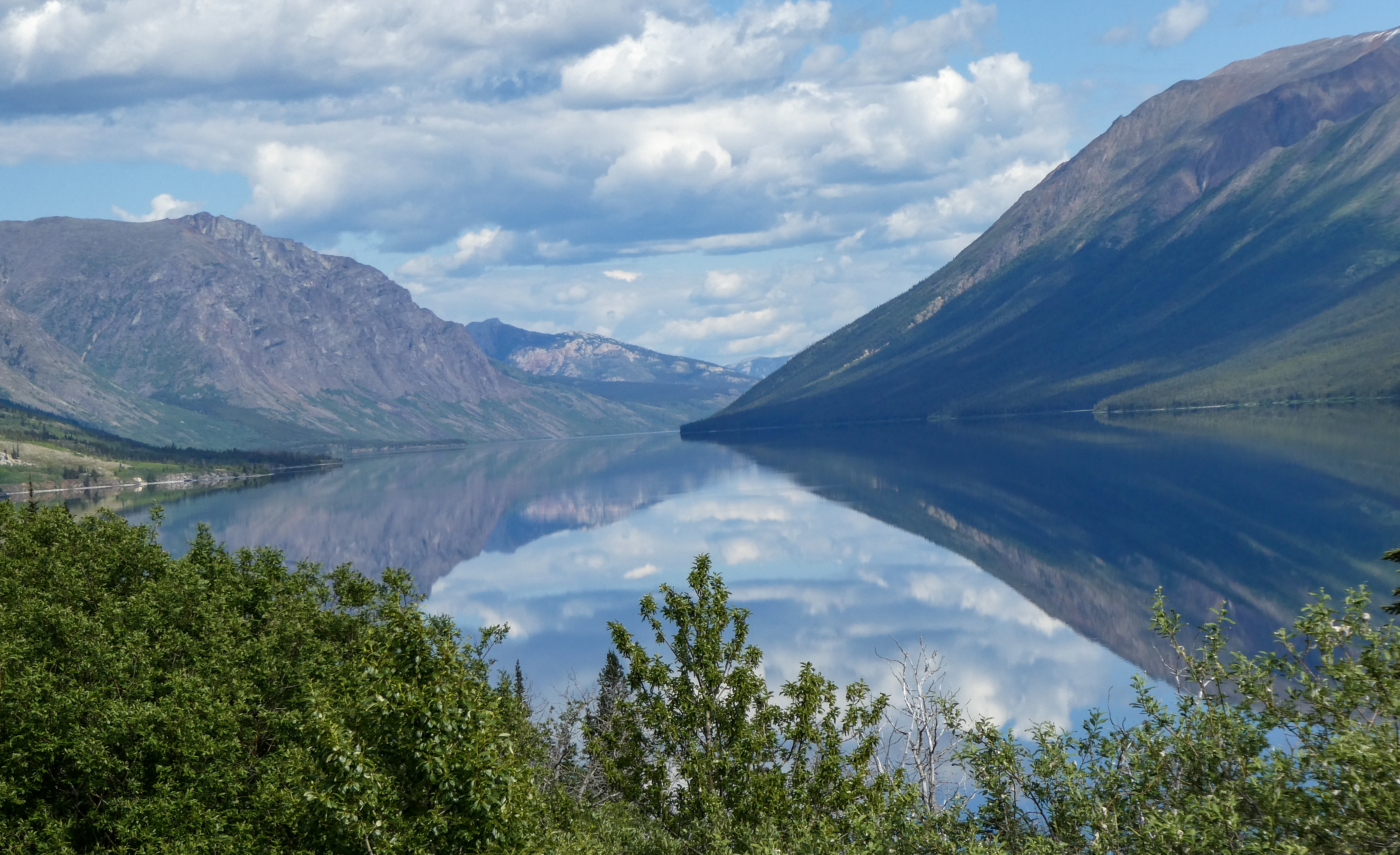
Beautiful reflections near our campsites at Teslin Lake Provincial Park
Next Post: The Cassiar Highway and the best deep fried halibut in Alaska!
The locals described winter in Dawson City as nearly perpetual darkness relieved by a couple hours of twilight. After a few winters, they feel they have no more to prove and many head to tropical climes for a month or so to bask in the sun. In summer, people get up early and work late to take advantage of the long daylight.
When asked way they stay, given the solar extremes, they mention the sense of community, safety and close friendships formed in the small town. Everyone participates in volunteer activities to benefit the community, and friends check up on each other if they haven’t seen each other for a while to ensure they are safe.
My text below is taken primarily from GQ Magazine and a few other online sources:
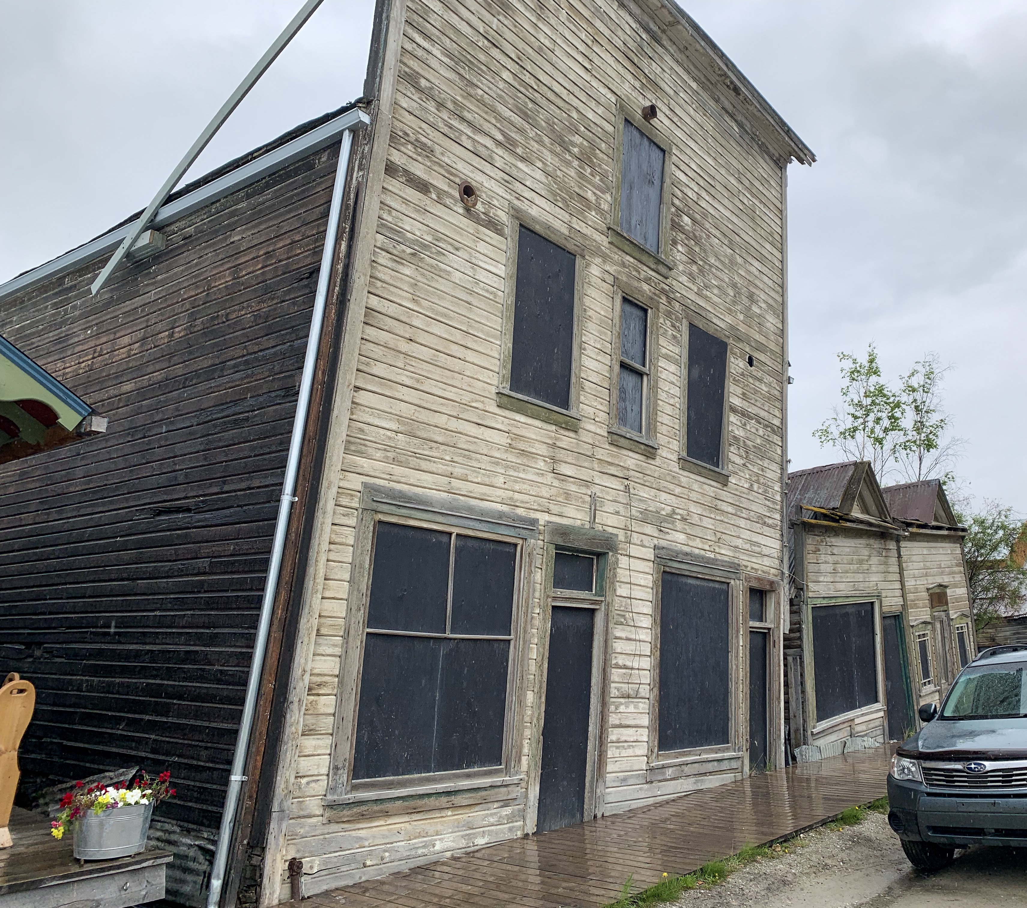
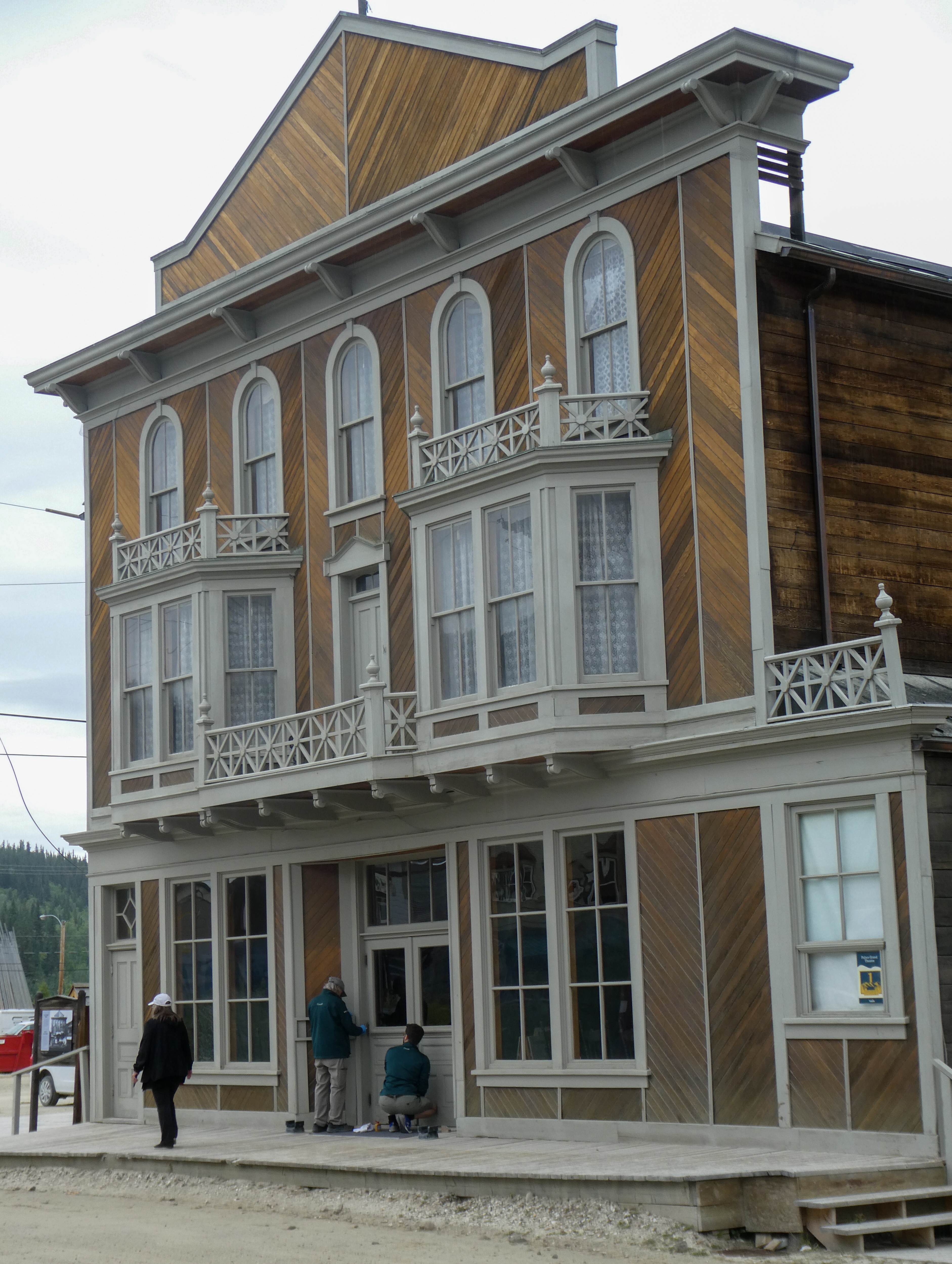
“Strange things done in the midnight sun, reads the first line of William Service’s famous Yukon poem; it’s an apt slogan for Dawson City, Canada. A far-flung place unlike any other, the endless summer daylight shines upon wide, dusty streets, sunken buildings, and the constant churn of the Yukon River.
Dawson City sits alone on the river’s banks, a mere 150 miles south of the Arctic Circle, in the Yukon Territory: an expansive, wild, non-state of otherworldly terrain. Getting there is not a simple task. Some arrive by raft, canoe, or kayak, others in the growling throng of a motorcycle club or the purr of a winnebago; slightly less intrepid travelers may take a five hour bus ride or small plane from Whitehorse. It’s a trek, certainly, and to a gold rush town of less than 1,500.
So why on earth would anyone go to this place that is, in the most direct sense of the phrase, located in the middle of nowhere? Well, perhaps you are someone who feels nostalgia for some place you’ve never been.
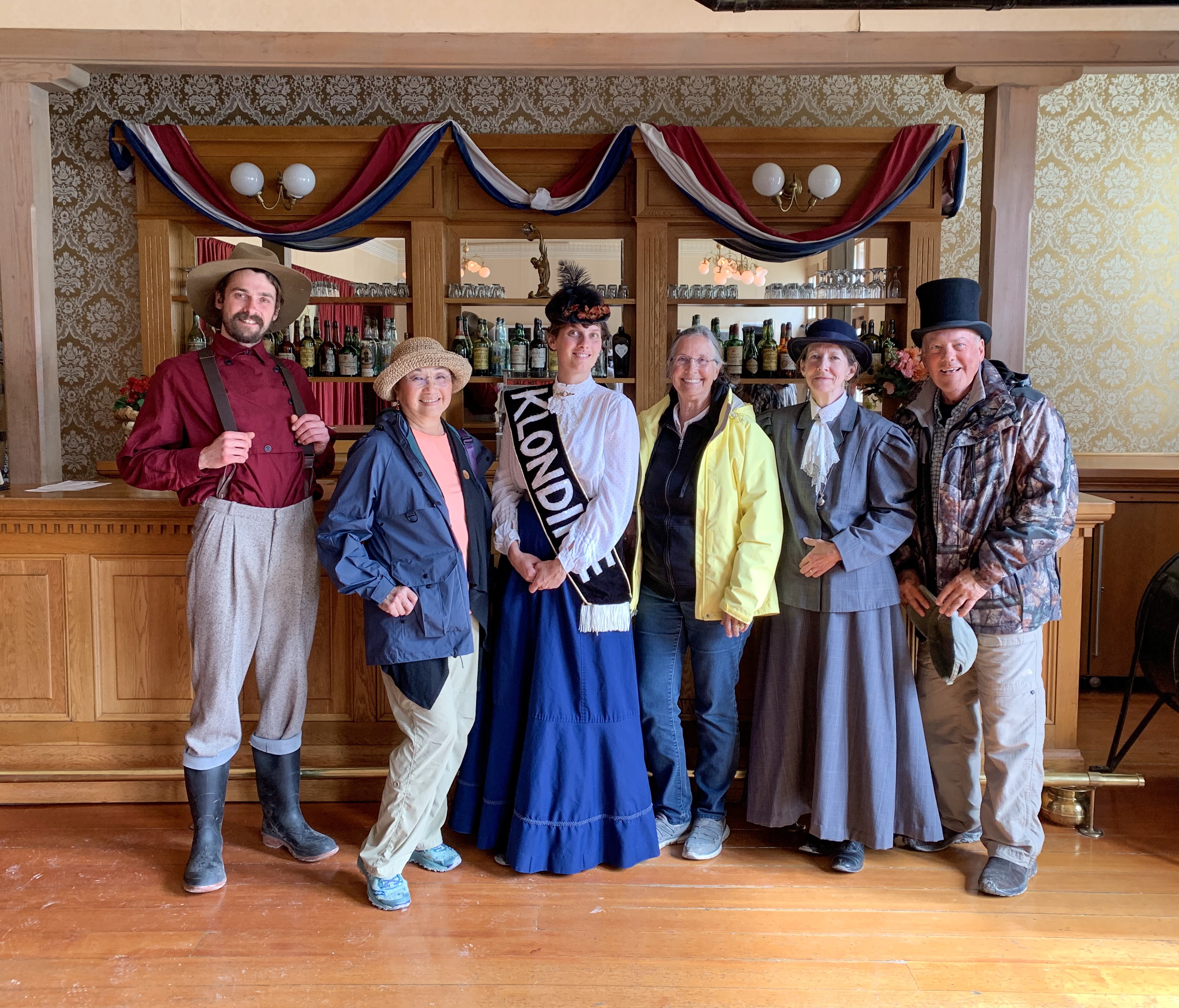
Maybe you really need to get the hell away, and you don’t want any sort of packaged, highly Instagrammable vacation to help you do it. If so, consider the derelict beauty of Dawson City. It’s strange, the summers bring endless daylight, and there are women who can-can. Taverns that never close. Taverns that never open.

Ultimately, the unlikeliness of the Dawson City, its subtle and grand strangeness, comes from wandering around and letting Dawson City happen to you. Forget about the time. If you go during the warm months (you should), you can just sort of let the constant daylight work its confounding magic. Take a walk on the boardwalk that follows the Yukon. Wander the backstreets of the town, through the little cabins. Follow a wooded trail up to the overlook. Have a drink or two, dip in and out of the dark saloons into dizzying sunlight and get a little midday buzz. Or maybe it’s midnight. You might not be able to tell, and that’s the whole point.
In prehistoric times the area was used for agriculture by the Hän-speaking people of the Tr’ondëk Hwëch’in and their forebears. The heart of their homeland was Tr’ochëk, a fishing camp at the confluence of the Klondike River and Yukon River, now a National Historic Site of Canada, just across the Klondike River from modern Dawson City. This site was also an important summer gathering spot and a base for moose-hunting on the Klondike Valley.
The current settlement was founded by Joseph Ladue and named in January 1897 after noted Canadian geologist George M. Dawson, who had explored and mapped the region in 1887. It served as Yukon’s capital from the territory’s founding in 1898 until 1952, when the seat was moved to Whitehorse.
Dawson City was the centre of the Klondike Gold Rush. It began in 1896 and changed the First Nations camp into a thriving city of 40,000 by 1898. By 1899, the gold rush had ended and the town’s population plummeted as all but 8,000 people left. When Dawson was incorporated as a city in 1902, the population was under 5,000.
The City of Dawson and the nearby ghost town of Forty Mile are featured prominently in the novels and short stories of American author Jack London, including The Call of the Wild. London lived in the Dawson area from October 1897 to June 1898. Other writers who lived in and wrote of Dawson City include Pierre Berton and the poet Robert Service.”
“Chicken is a community founded on gold mining and is one of the few surviving gold rush towns in Alaska. The population was 7 at the time of the 2010 Census, down from 17 in 2000. However, usually year round, there are 17 inhabitants. Due to mining, Chicken’s population peaks during the summer. It has frequently been noted on lists of unusual place names.
Chicken was settled by gold miners in the late 19th-century and in 1902 the local post office was established requiring a community name. Due to the prevalence of ptarmigan in the area that name was suggested as the official name for the new community. However, the spelling could not be agreed on and Chicken was used to avoid embarrassment. “

“Between Chicken and Eagle, the Taylor Highway is narrow, winding, gravel road with many steep hills and some hairpin curves. The road from Jack Wade Junction to Eagle is not recommended for RVers. “
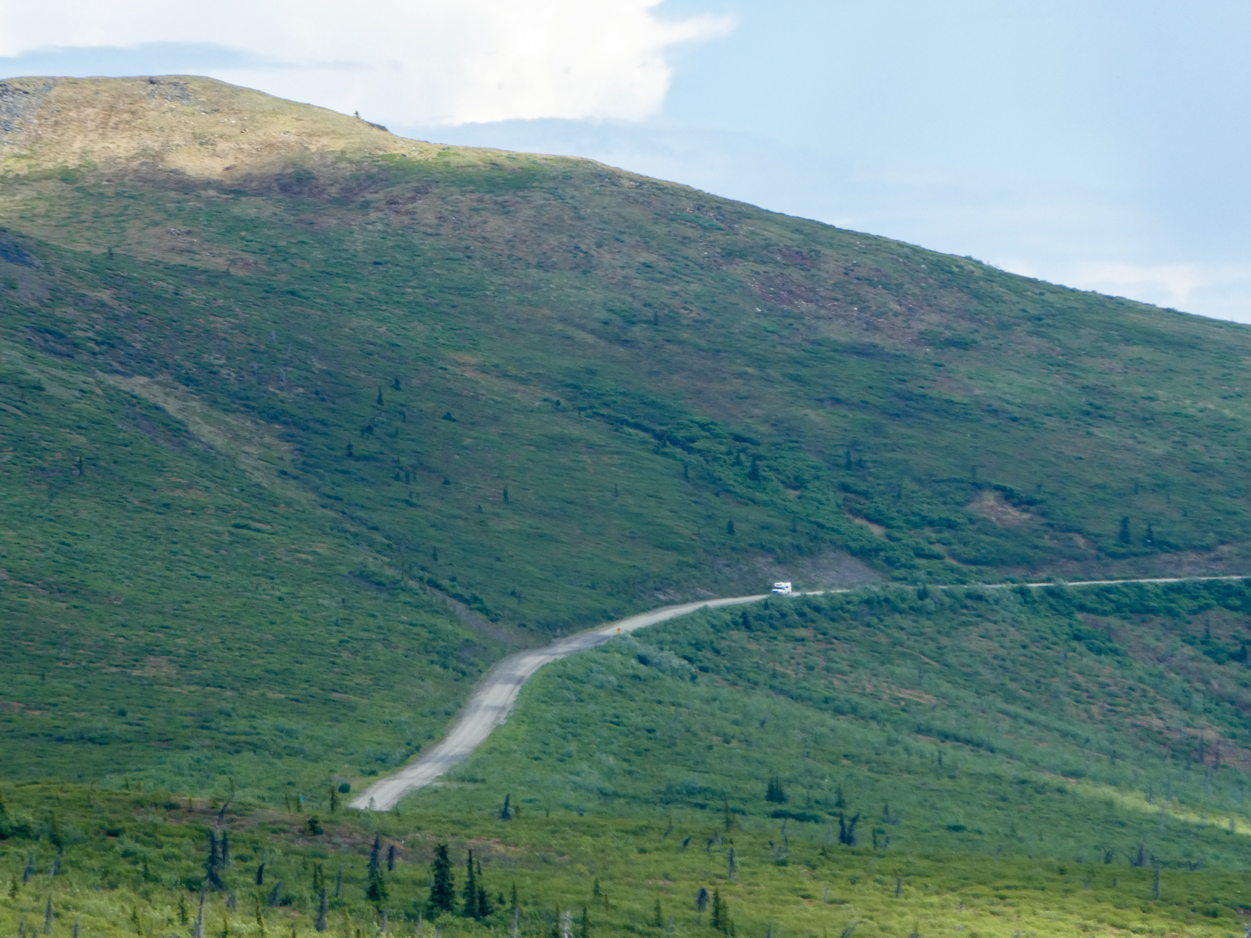
We reached Chicken via the Taylor Highway, shortly thereafter, turned onto the Top Of The World Highway, then turned north to check out Eagle,
“From Chicken, it’s just another 90 miles of driving to one of Alaska’s oldest towns, Eagle; but the drive usually takes at least three hours, thanks to the rough road”. (It took us 3.75 hours).
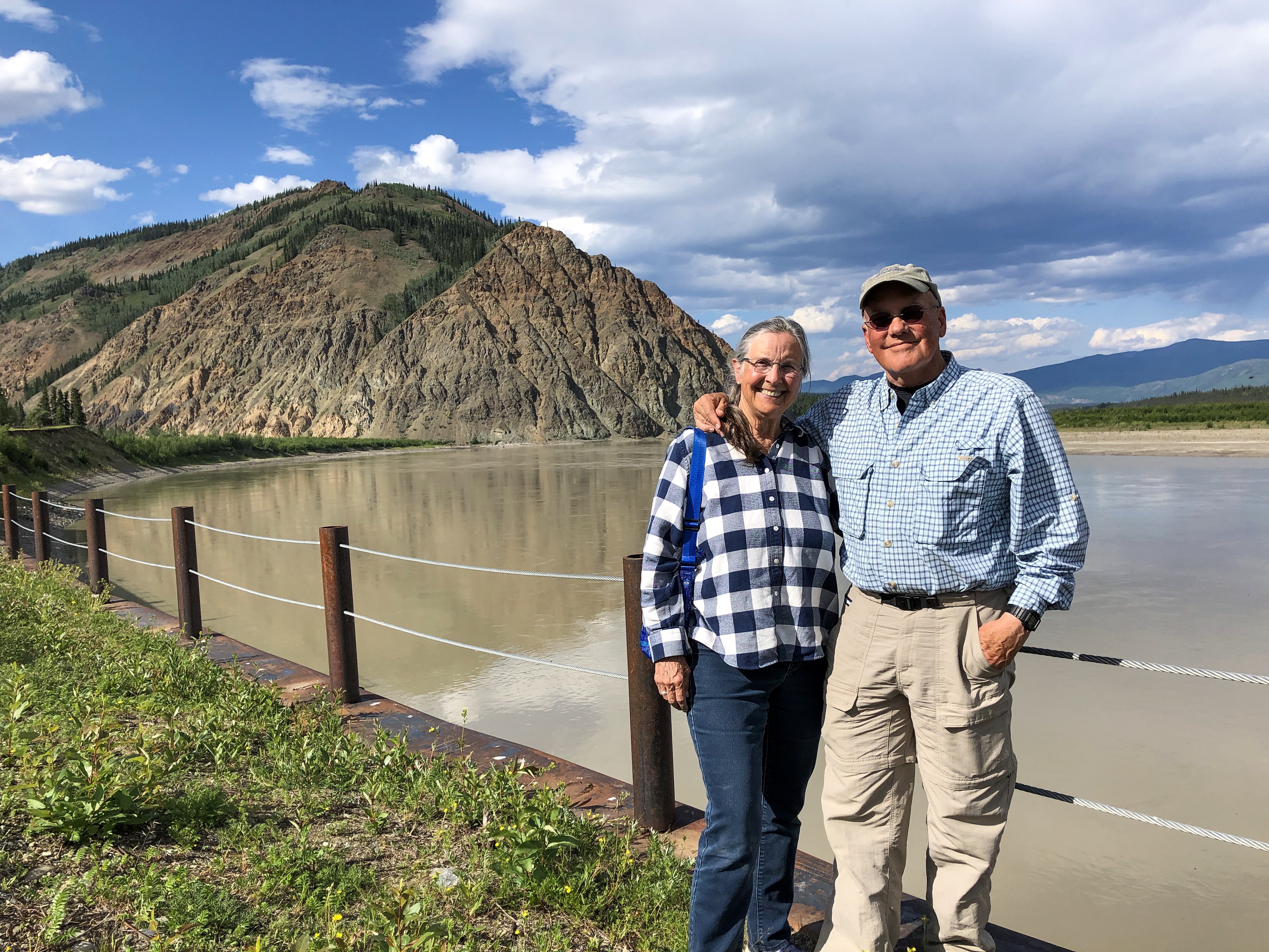
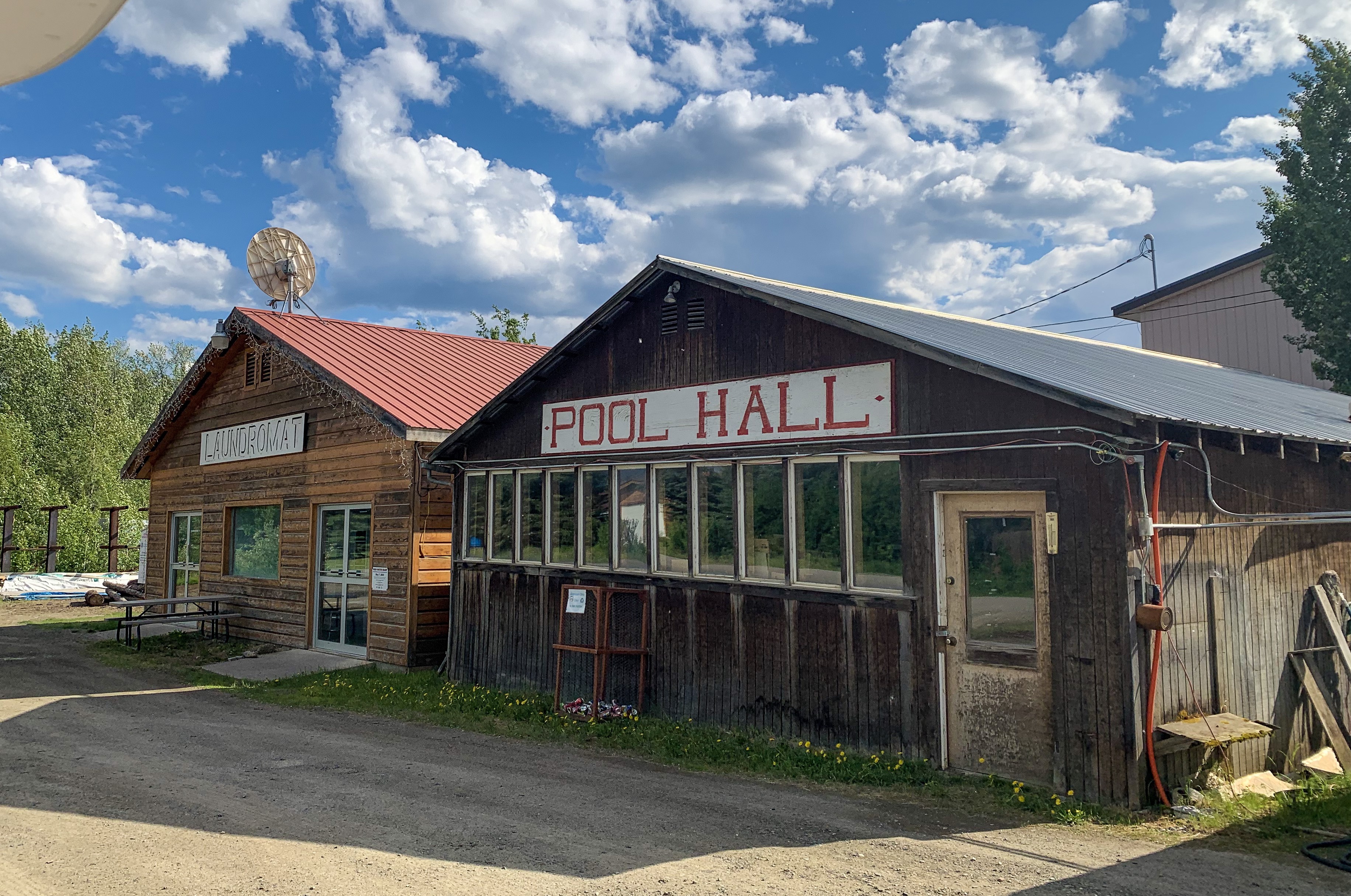
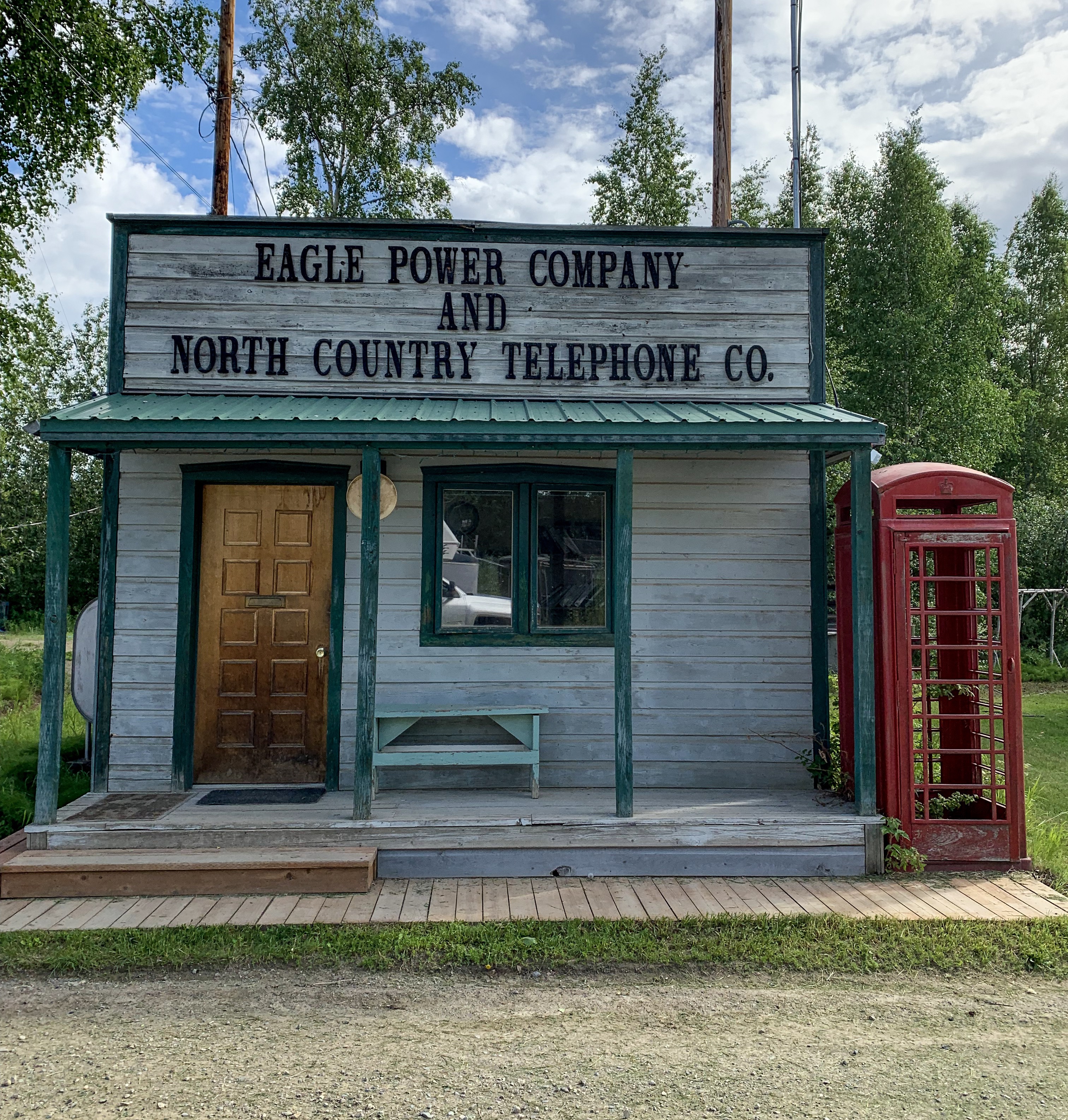
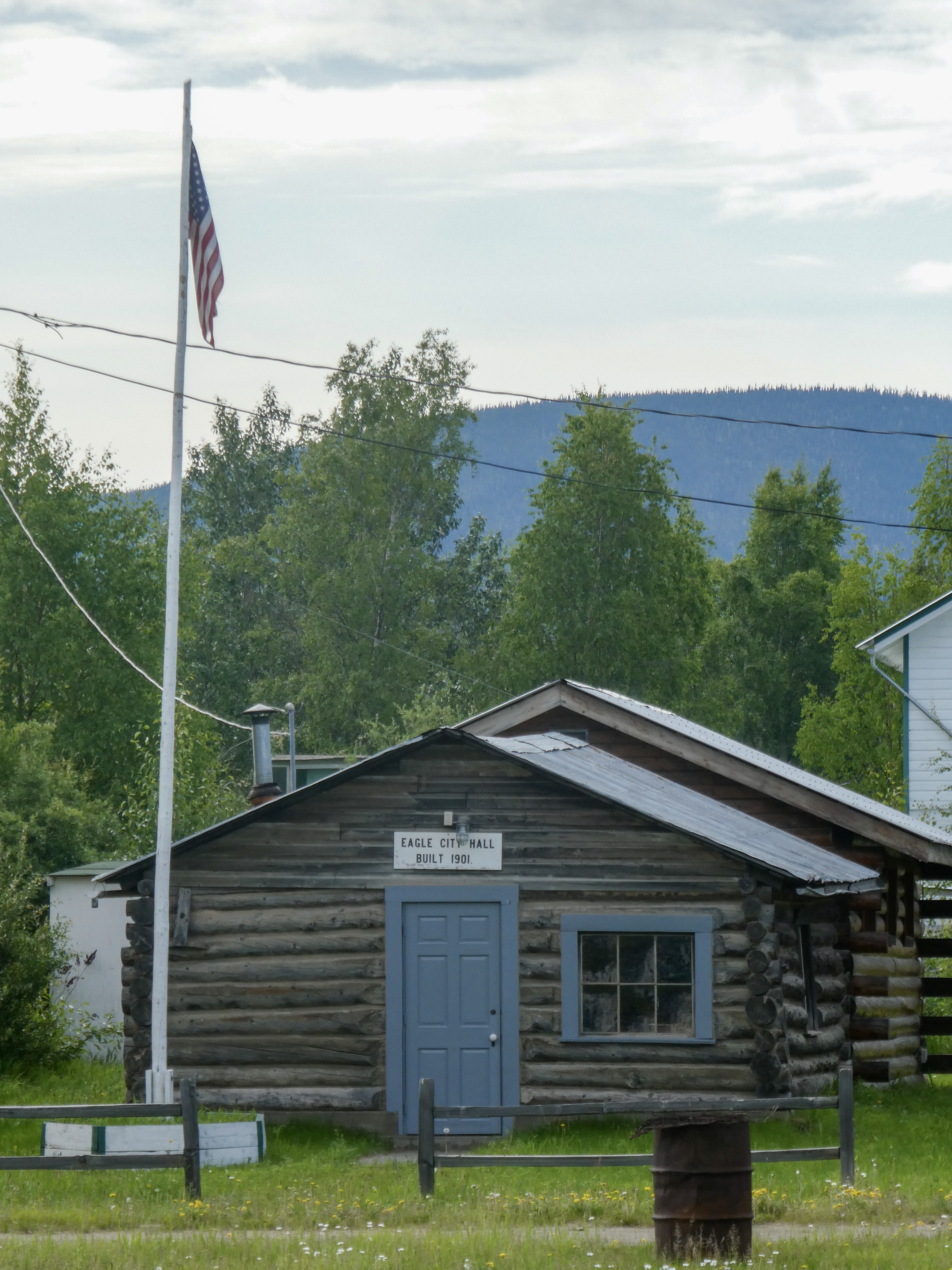
“Eagle is a city on the south bank of the Yukon River near the Canada–US border in the Southeast Fairbanks Census Area, Alaska, United States. It includes the Eagle Historic District, a U.S. National Historic Landmark. The population was 86 at the 2010 census. Every February, Eagle hosts a checkpoint for the long-distance Yukon Quest sled dog race.”
“The first permanent American-built structure in present-day Eagle was a log trading post called “Belle Isle”, built around 1874. In the late 1800s, Eagle became a supply and trading center for miners working the upper Yukon River and its tributaries. By 1898, its population had exceeded 1,700, as people were coming into the area because of the Klondike Gold Rush.
In 1901 Eagle became the first incorporated city in the Alaska Interior. It was named for the many eagles that nested on nearby Eagle Bluff. A United States Army camp, Fort Egbert, was built at Eagle in 1900. A telegraph line between Eagle and Valdez was completed in 1903. In 1905, Roald Amundsen arrived in Eagle and telegraphed the news of the Northwest Passage to the rest of the world. The gold rushes in Nome and Fairbanks lured people away from Eagle.“
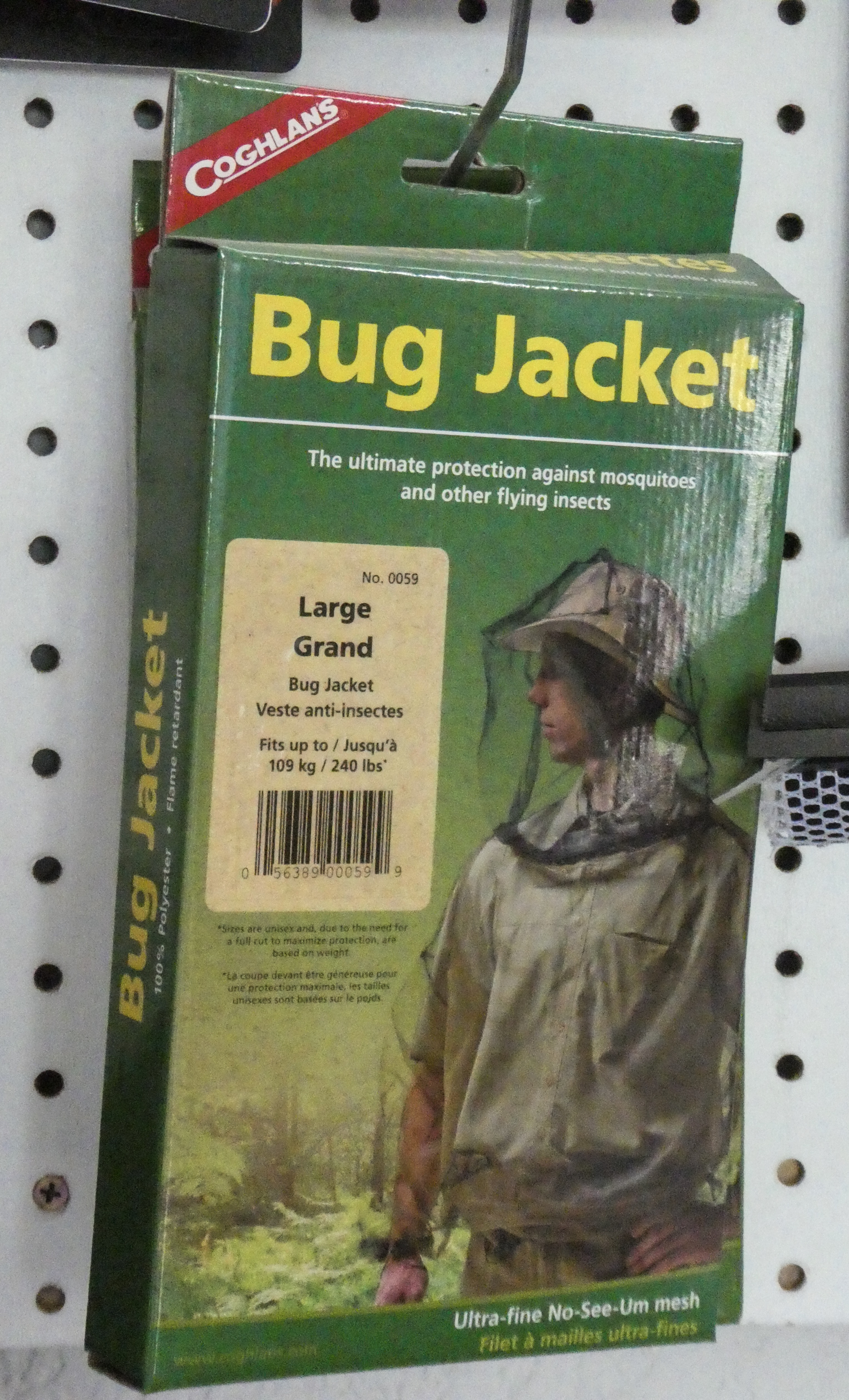
Before exploring Eagle, we found campsites in a BLM campground. Immediately after opening the car door, the mosquitoes descended upon us. Only a couple other places in Alaska were as mosquito infested as Eagle.

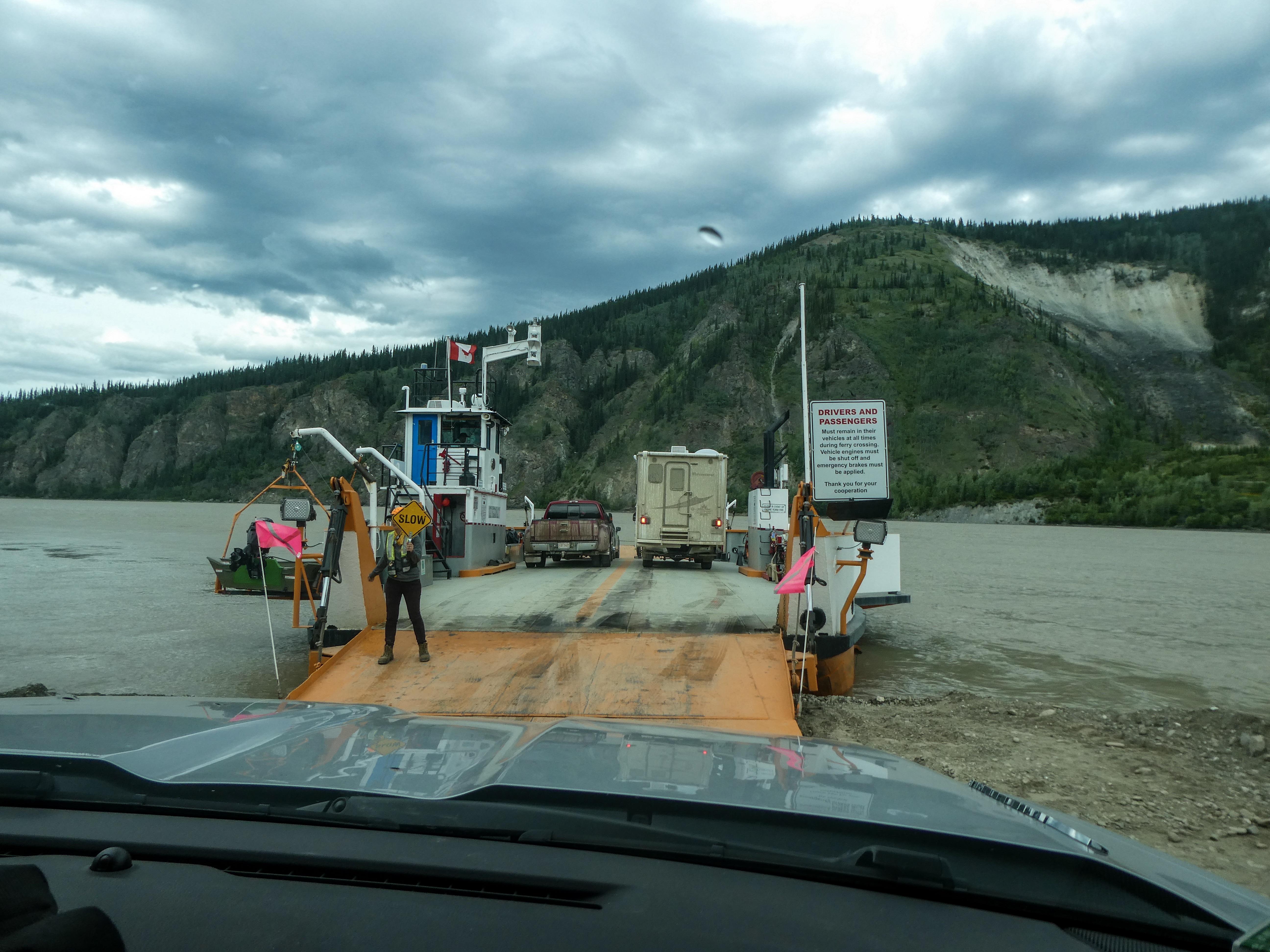
After 90 miles back down the rough and windy road, we rejoined the Top of the World Highway for Dawson City, Yukon, Canada
Almost no internet or phone service since my last post, and what there was has been very poor!
Leaving Valdez in the rain, we stopped at the Valdez Earthquake Museum and the Valdez Salmon hatchery. Both very interesting. Then we drove to Glennellen and took the Tok Cutoff Road to the entrance to the Nabesna Road. We had one of our few rainy days. A couple of miles of construction on the Muddy highway during a downpour proved interesting, but we reached our campsite on Rufus Creek at 6pm.
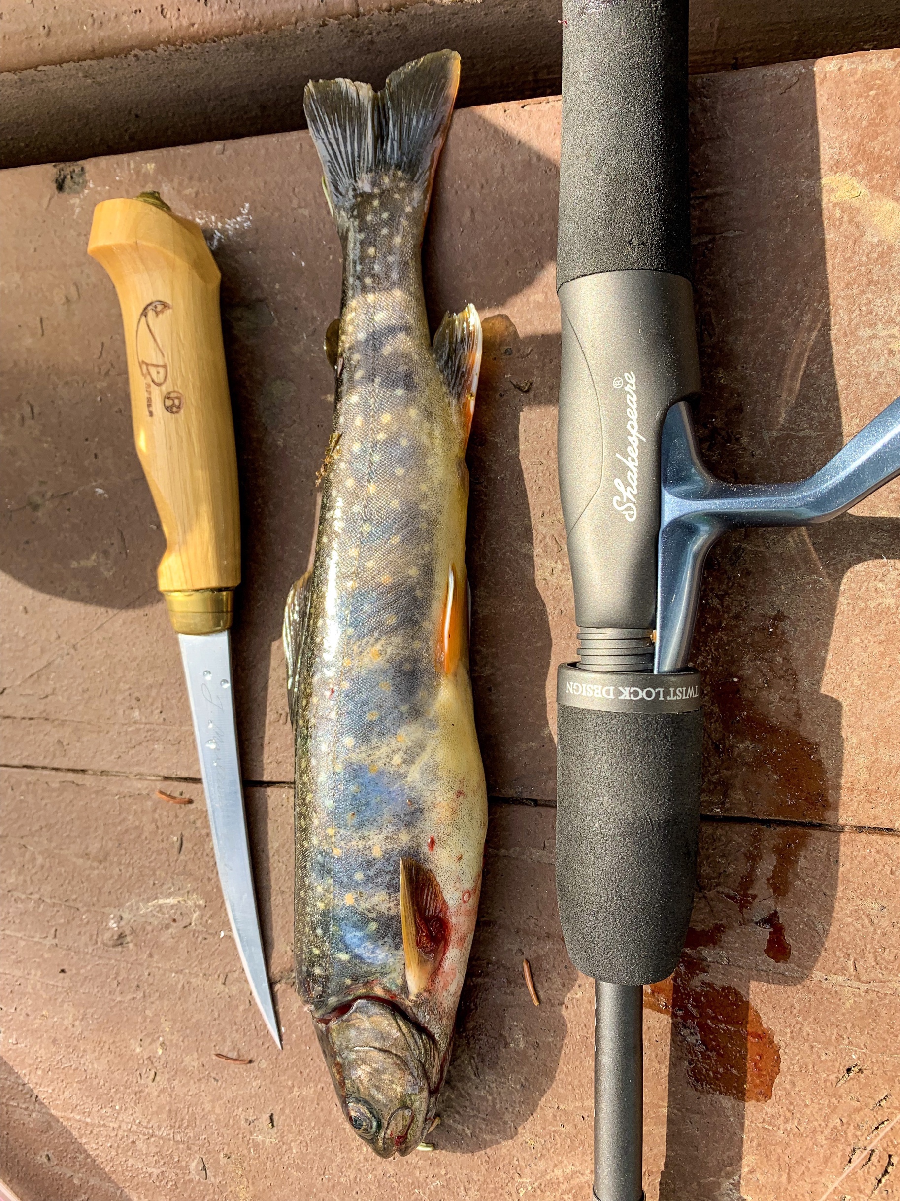
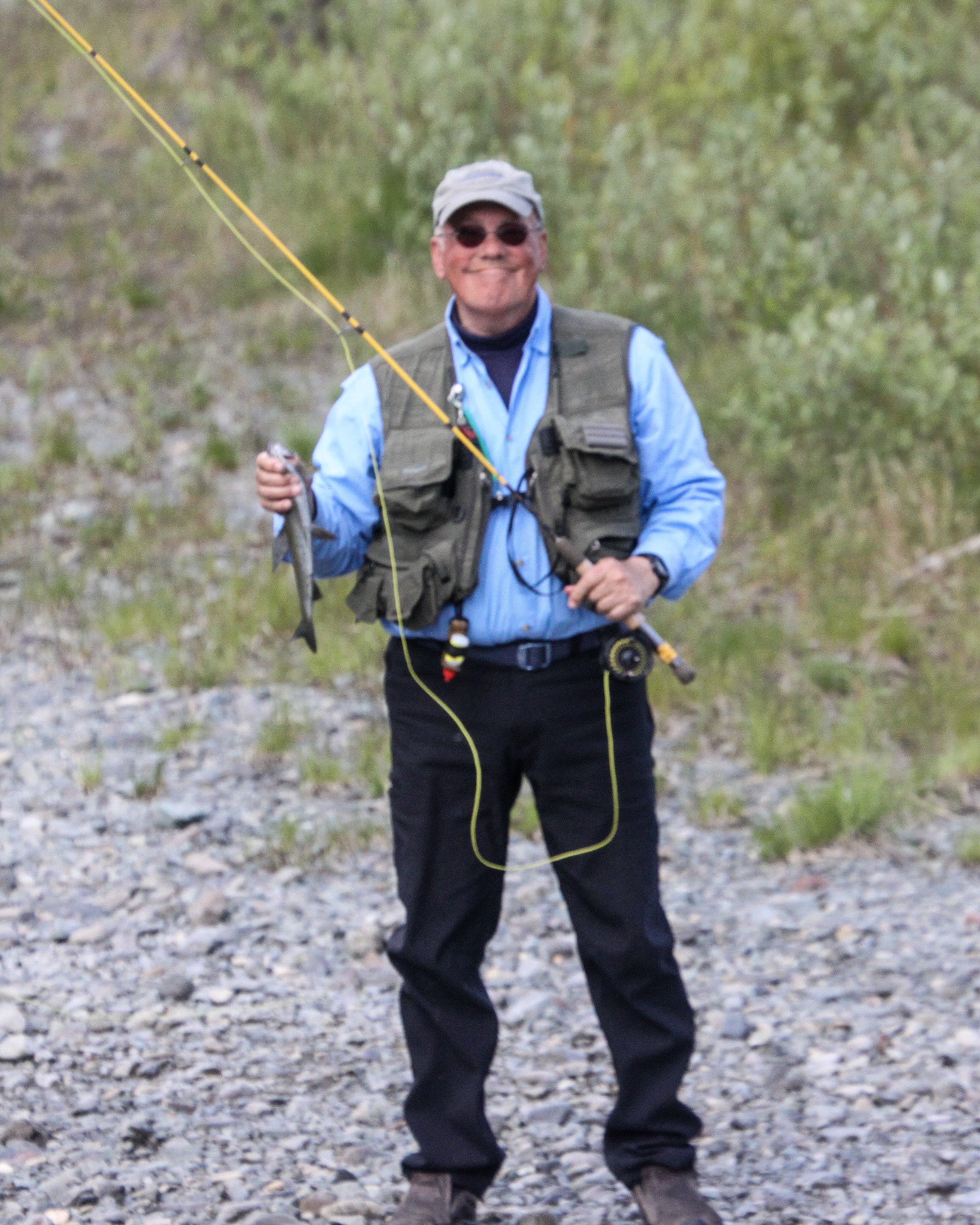
In the morning I caught a nice Dolly Varden trout from the creek. She will be pan fried for dinner.
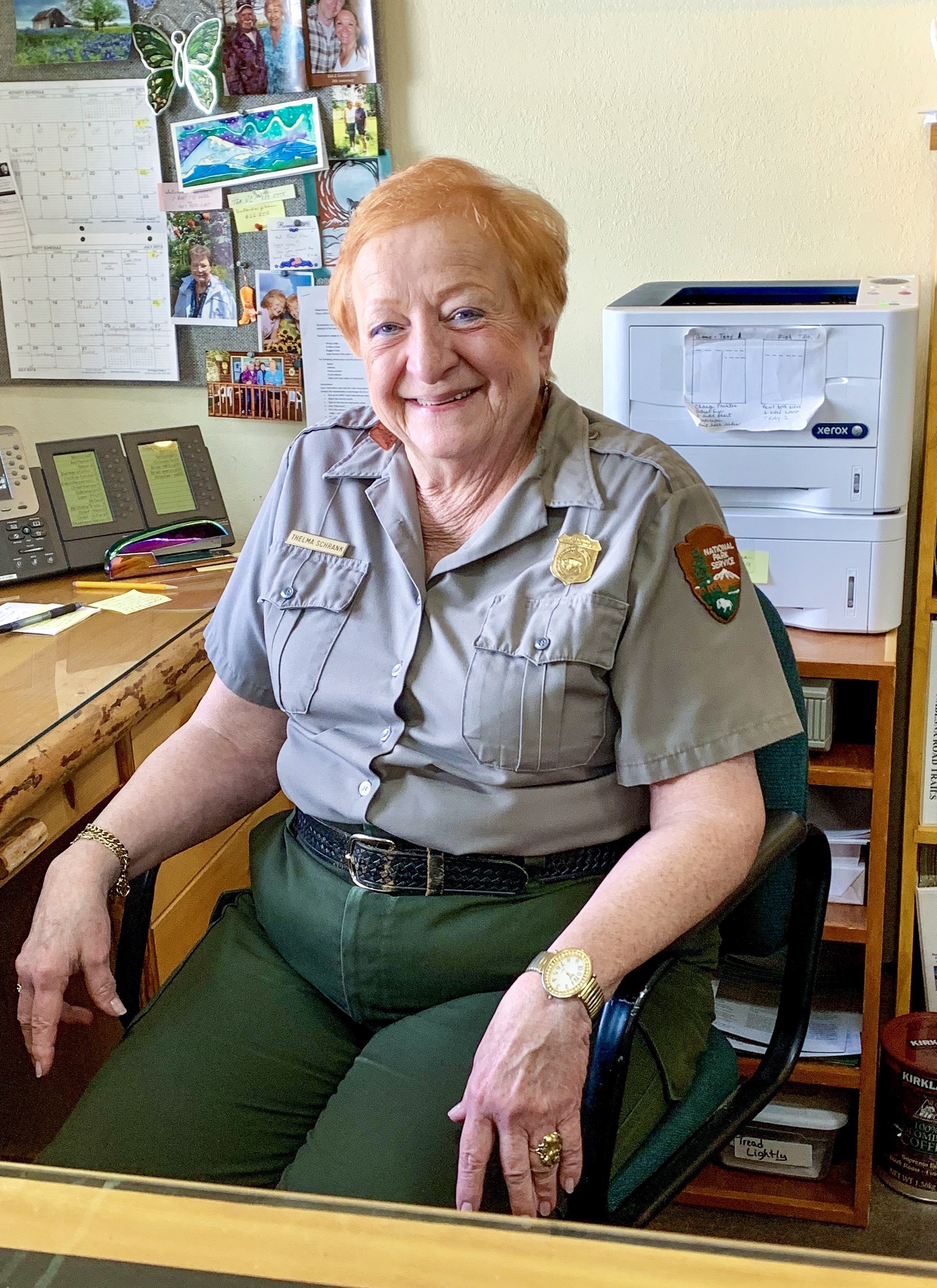
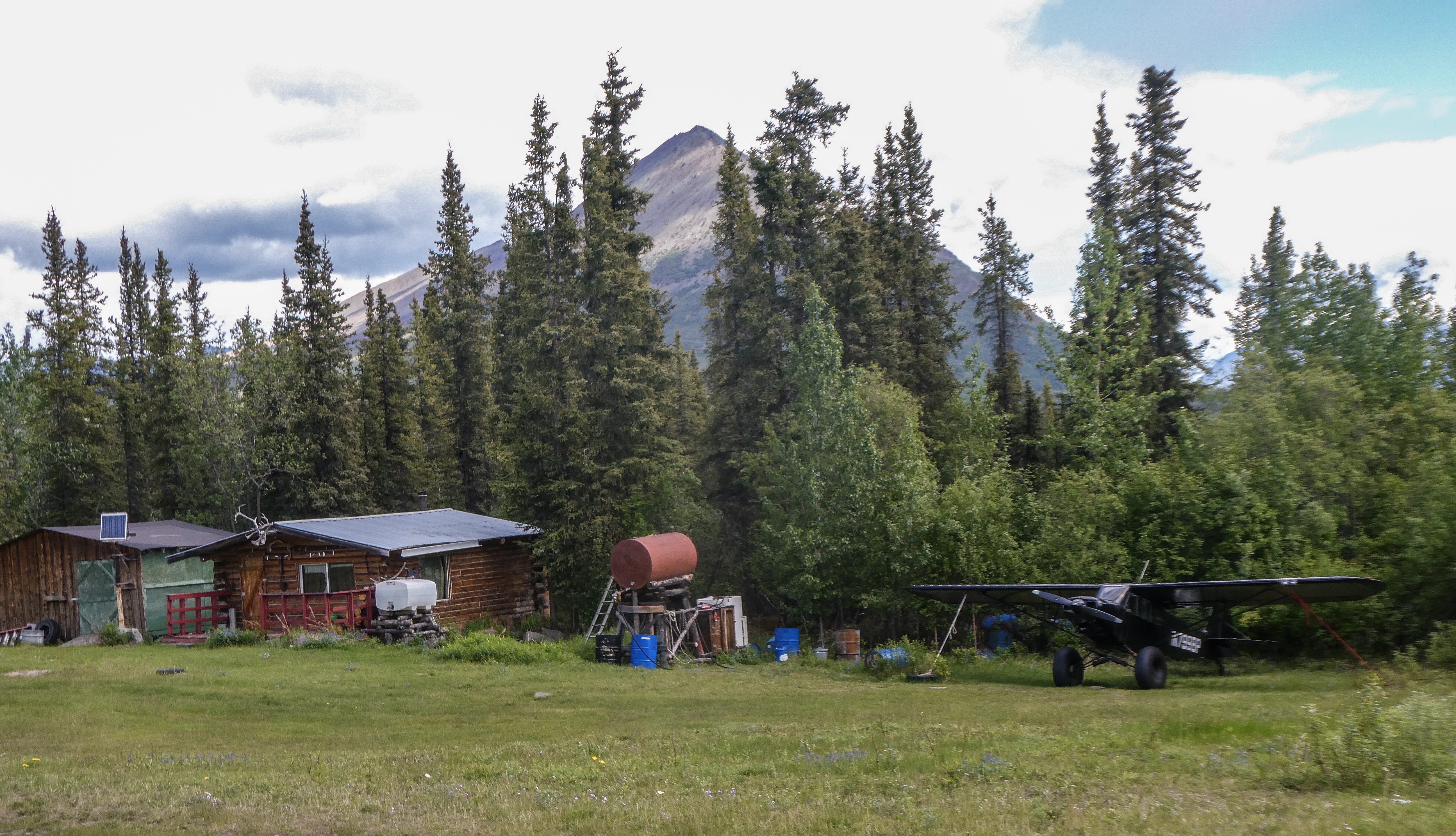
We also stopped at the Nabesna Ranger Station per Ranger Mike’s suggestion (see Alaska Ferry post) to meet Ranger Thelma, his erstwhile boss, a lovely 36 year veteran of the National Parks Service (who knows everything about the Wrangell-St. Elias National Park). She was thrilled to be a celebrity!
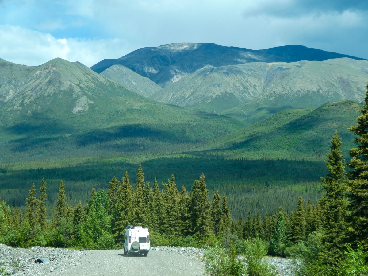
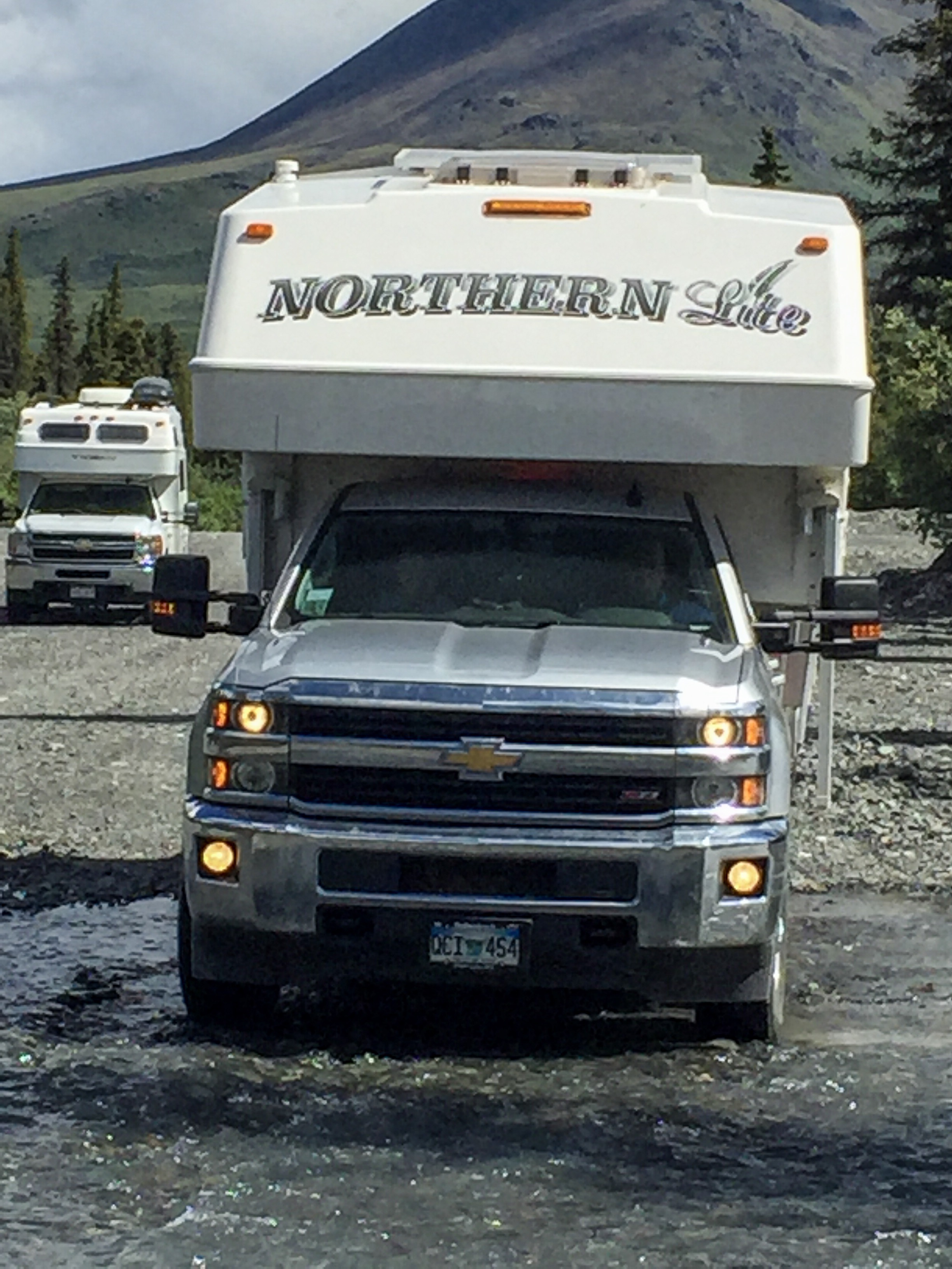
“The Nabesna Road is a minor highway in the U.S. state of Alaska that extends 42 miles (68 km) from the Slana River to Nabesna, providing access to interior components of Wrangell-St. Elias National Park. The entire length of the road is gravel and has few services. Flat tires and washouts are fairly common along the entire length of the road.”
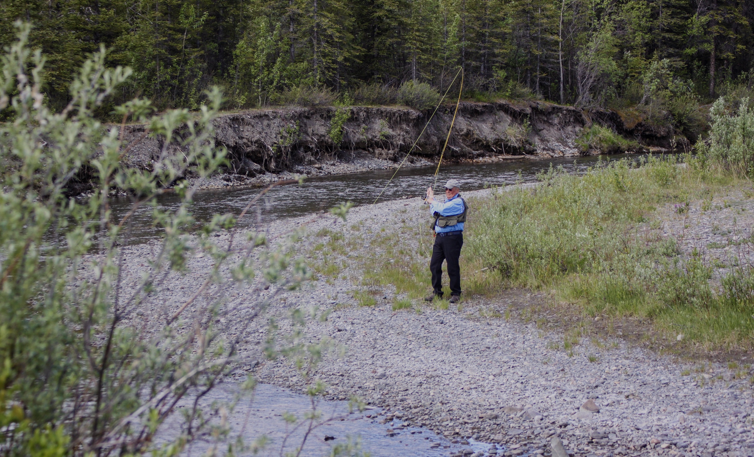
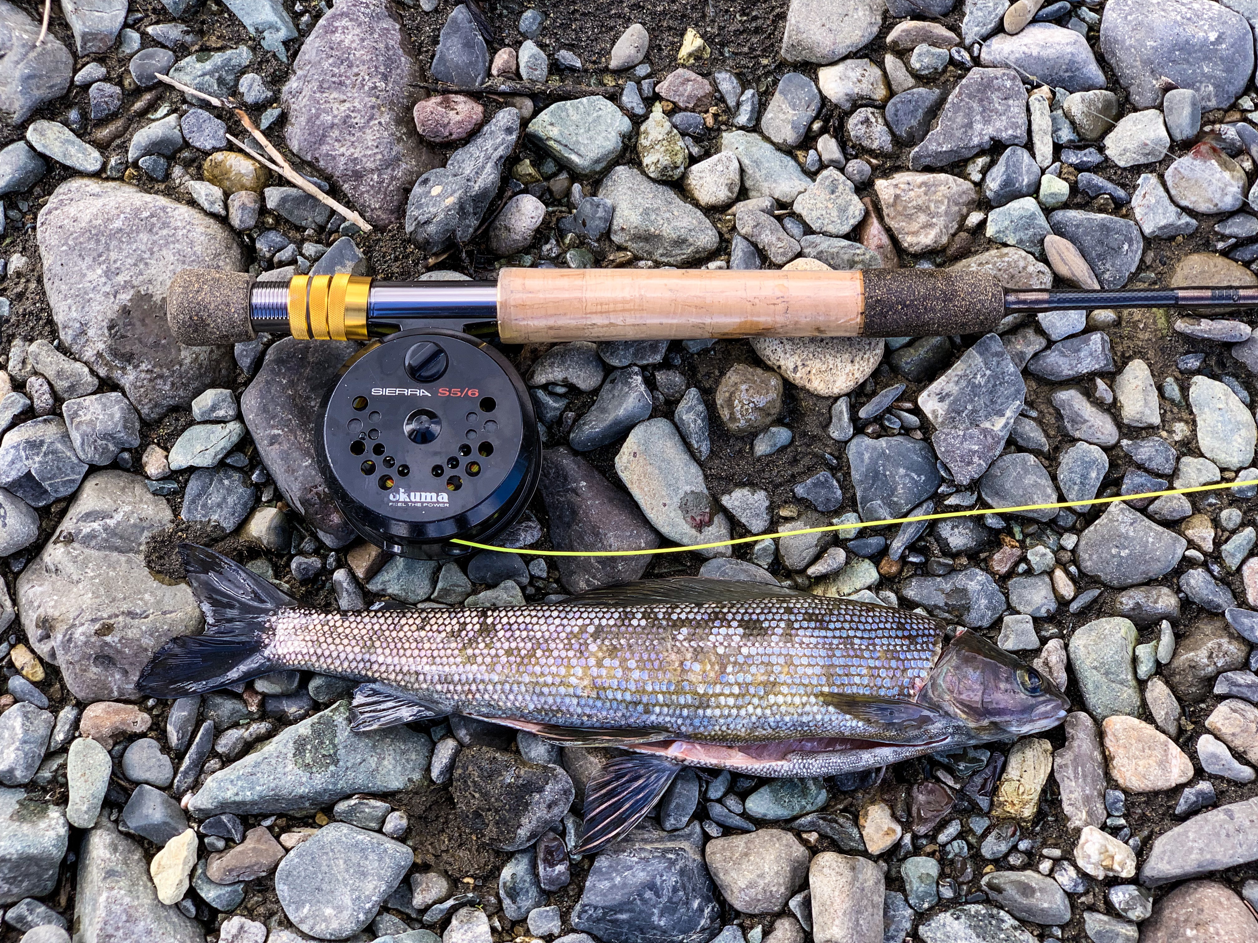
Arriving at our campsite at Kendesnii campground , I immediately went to the lake to fish. Skunked! Skunked again before dinner when the skies opened and it began to pour. Fishing again in the morning proved fruitless as well. Will the wily Arctic Grayling continue to elude my grasp?


Now, time to retrace the 42 miles back to the highway.