“Chicken is a community founded on gold mining and is one of the few surviving gold rush towns in Alaska. The population was 7 at the time of the 2010 Census, down from 17 in 2000. However, usually year round, there are 17 inhabitants. Due to mining, Chicken’s population peaks during the summer. It has frequently been noted on lists of unusual place names.
Chicken was settled by gold miners in the late 19th-century and in 1902 the local post office was established requiring a community name. Due to the prevalence of ptarmigan in the area that name was suggested as the official name for the new community. However, the spelling could not be agreed on and Chicken was used to avoid embarrassment. “

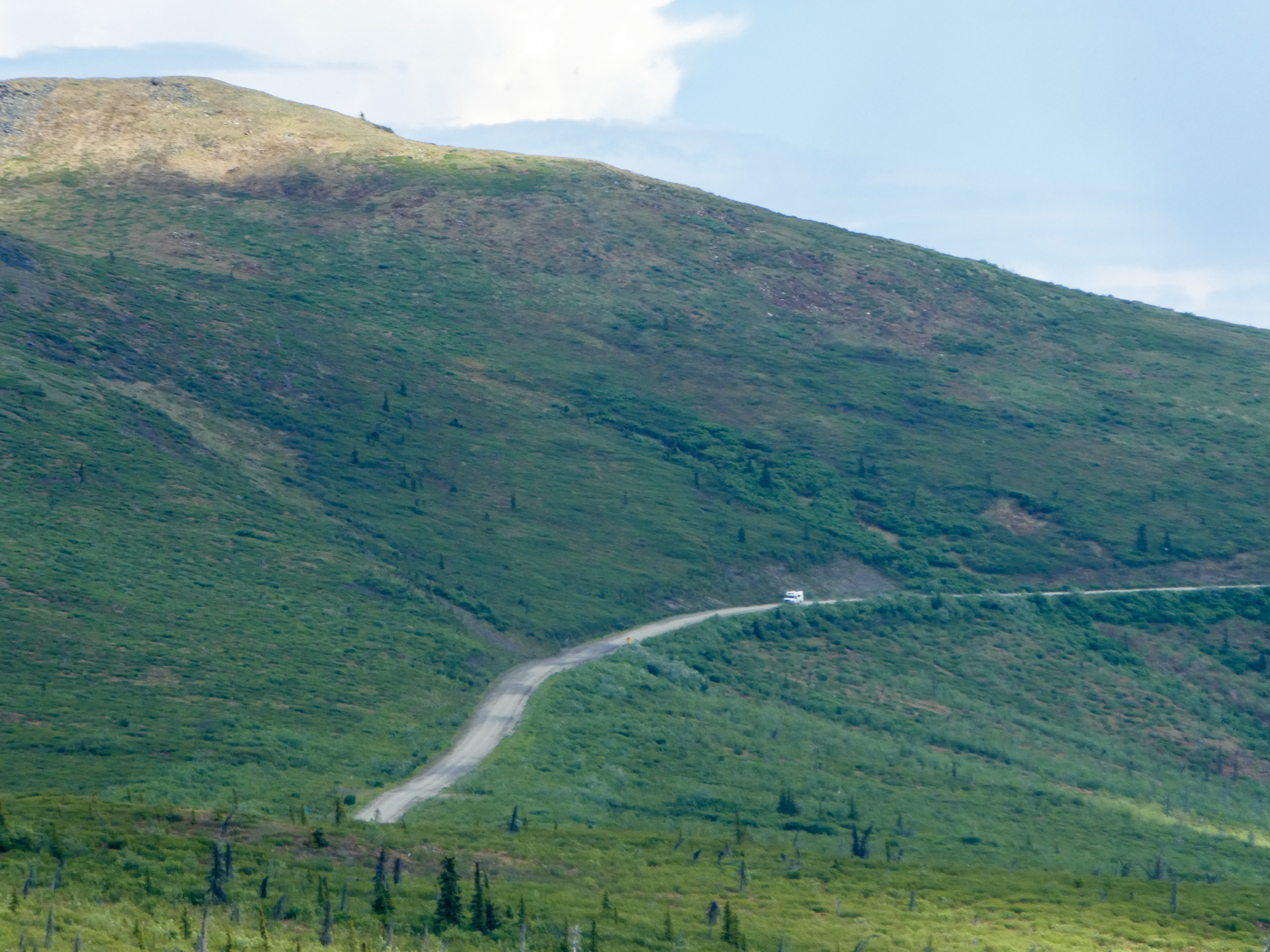
“Between Chicken and Eagle, the Taylor Highway is narrow, winding, gravel road with many steep hills and some hairpin curves. The road from Jack Wade Junction to Eagle is not recommended for RVers. “
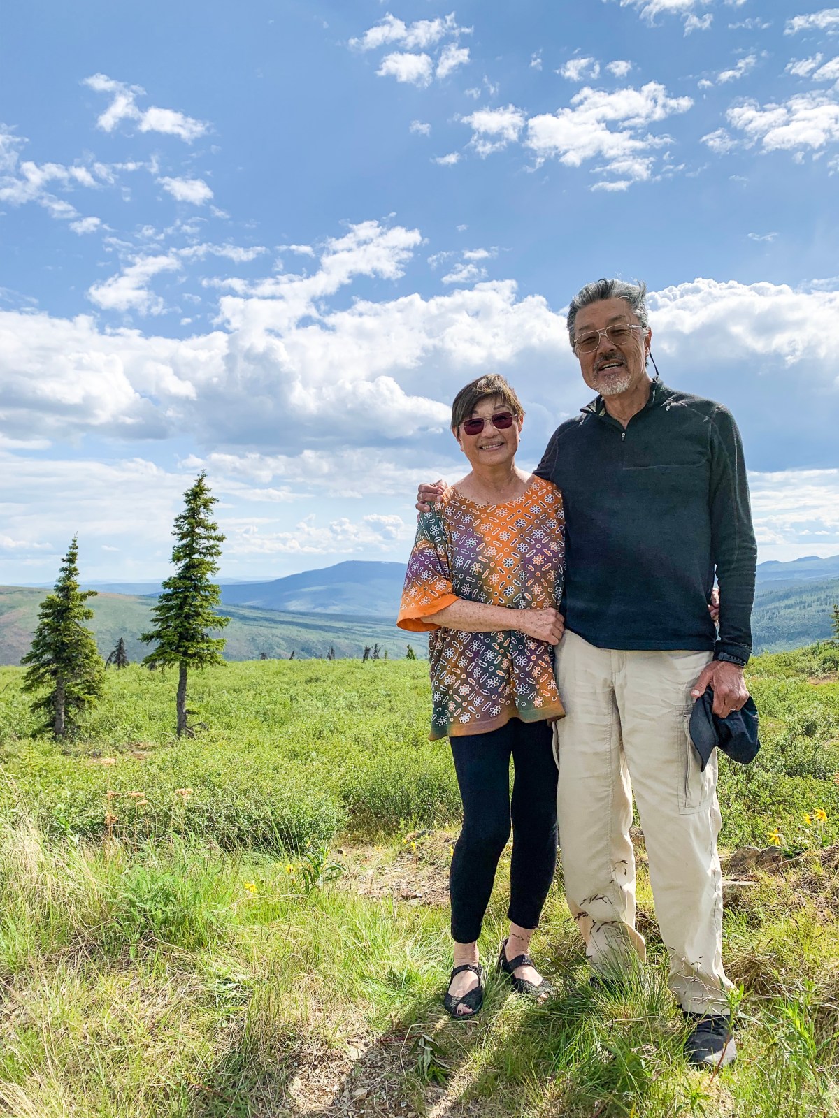
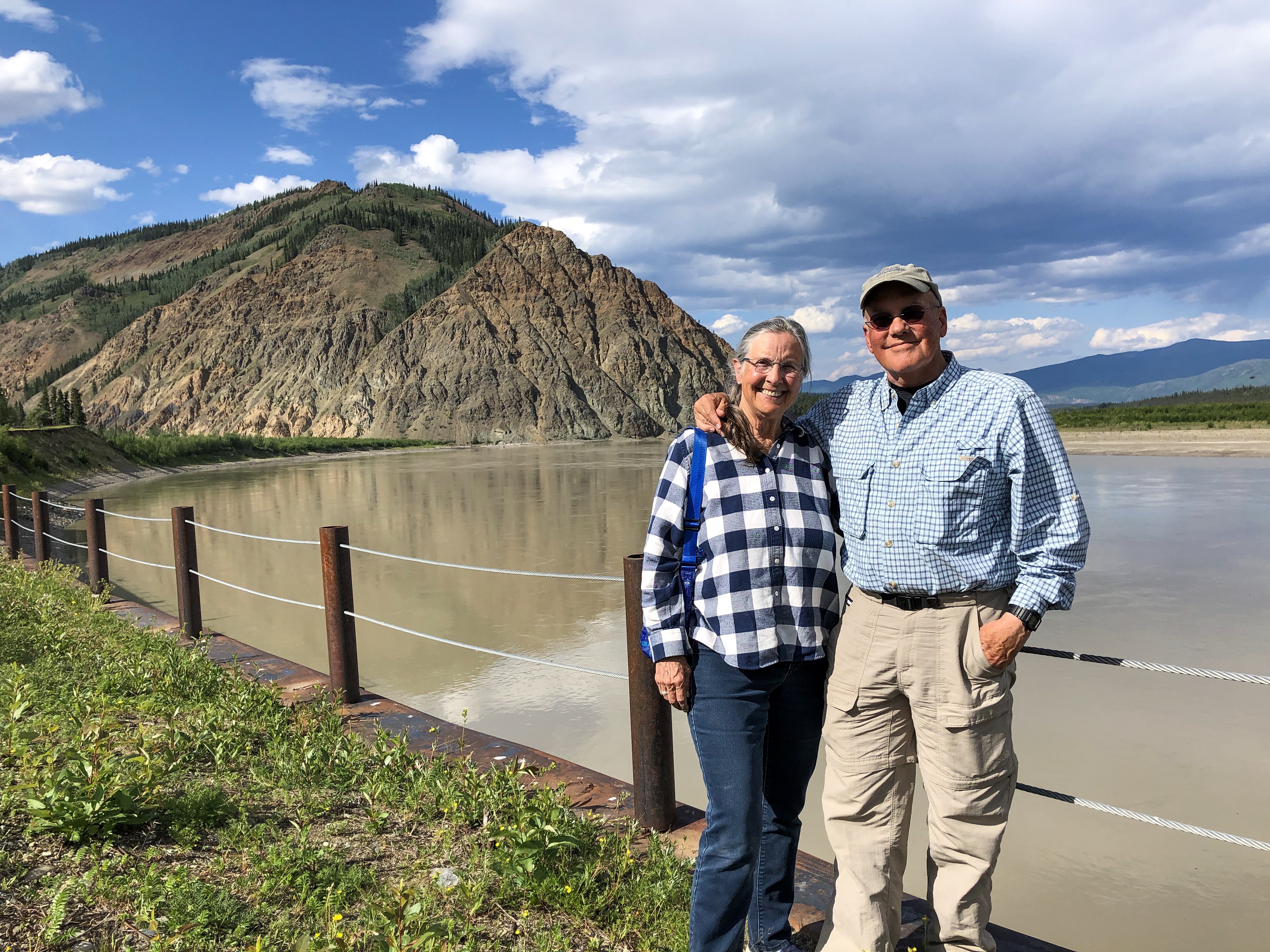
We reached Chicken via the Taylor Highway, shortly thereafter, turned onto the Top Of The World Highway, then turned north to check out Eagle,
“From Chicken, it’s just another 90 miles of driving to one of Alaska’s oldest towns, Eagle; but the drive usually takes at least three hours, thanks to the rough road”. (It took us 3.75 hours).
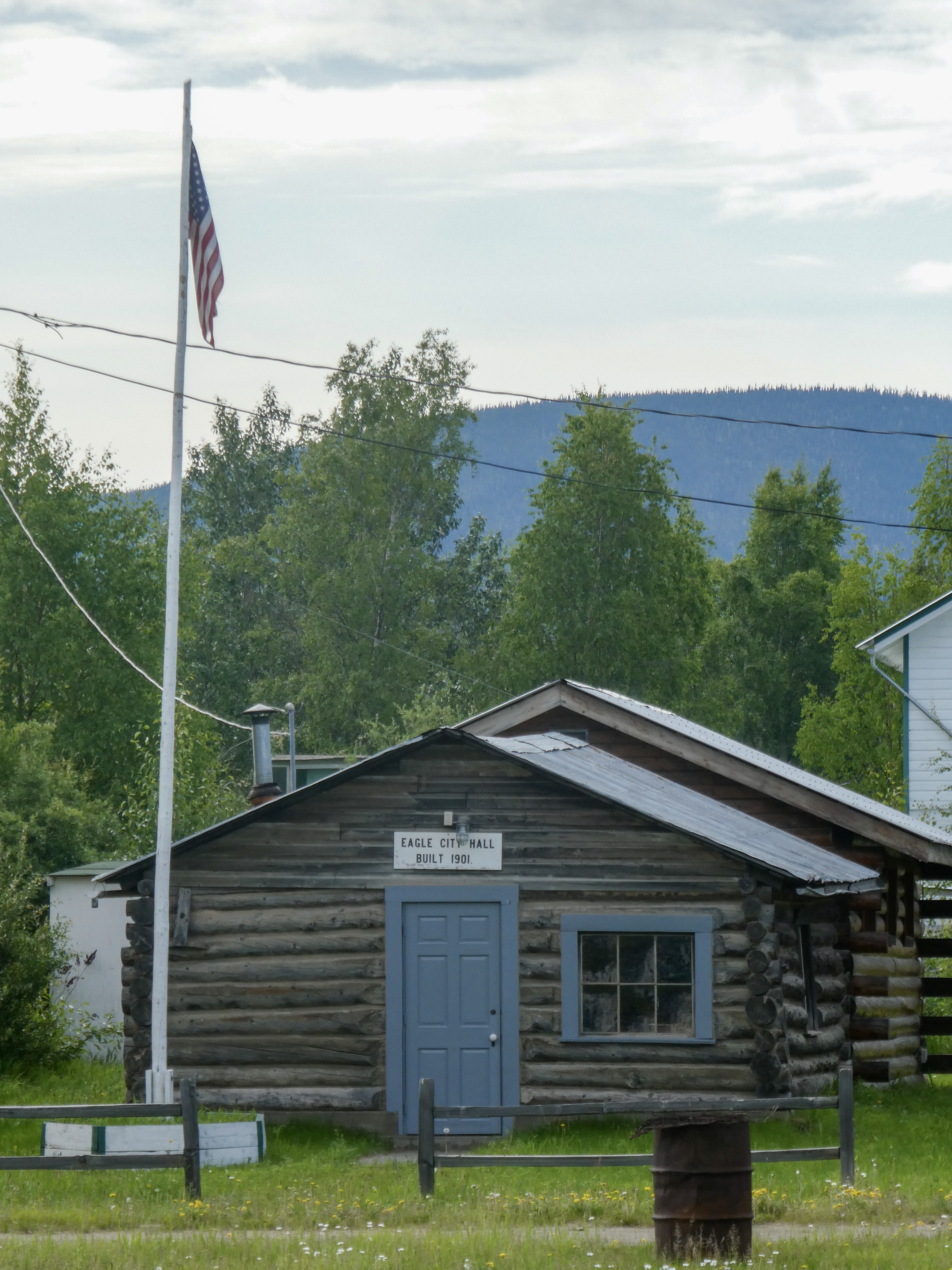
“Eagle is a city on the south bank of the Yukon River near the Canada–US border in the Southeast Fairbanks Census Area, Alaska, United States. It includes the Eagle Historic District, a U.S. National Historic Landmark. The population was 86 at the 2010 census. Every February, Eagle hosts a checkpoint for the long-distance Yukon Quest sled dog race.”
“The first permanent American-built structure in present-day Eagle was a log trading post called “Belle Isle”, built around 1874. In the late 1800s, Eagle became a supply and trading center for miners working the upper Yukon River and its tributaries. By 1898, its population had exceeded 1,700, as people were coming into the area because of the Klondike Gold Rush.
In 1901 Eagle became the first incorporated city in the Alaska Interior. It was named for the many eagles that nested on nearby Eagle Bluff. A United States Army camp, Fort Egbert, was built at Eagle in 1900. A telegraph line between Eagle and Valdez was completed in 1903. In 1905, Roald Amundsen arrived in Eagle and telegraphed the news of the Northwest Passage to the rest of the world. The gold rushes in Nome and Fairbanks lured people away from Eagle.“
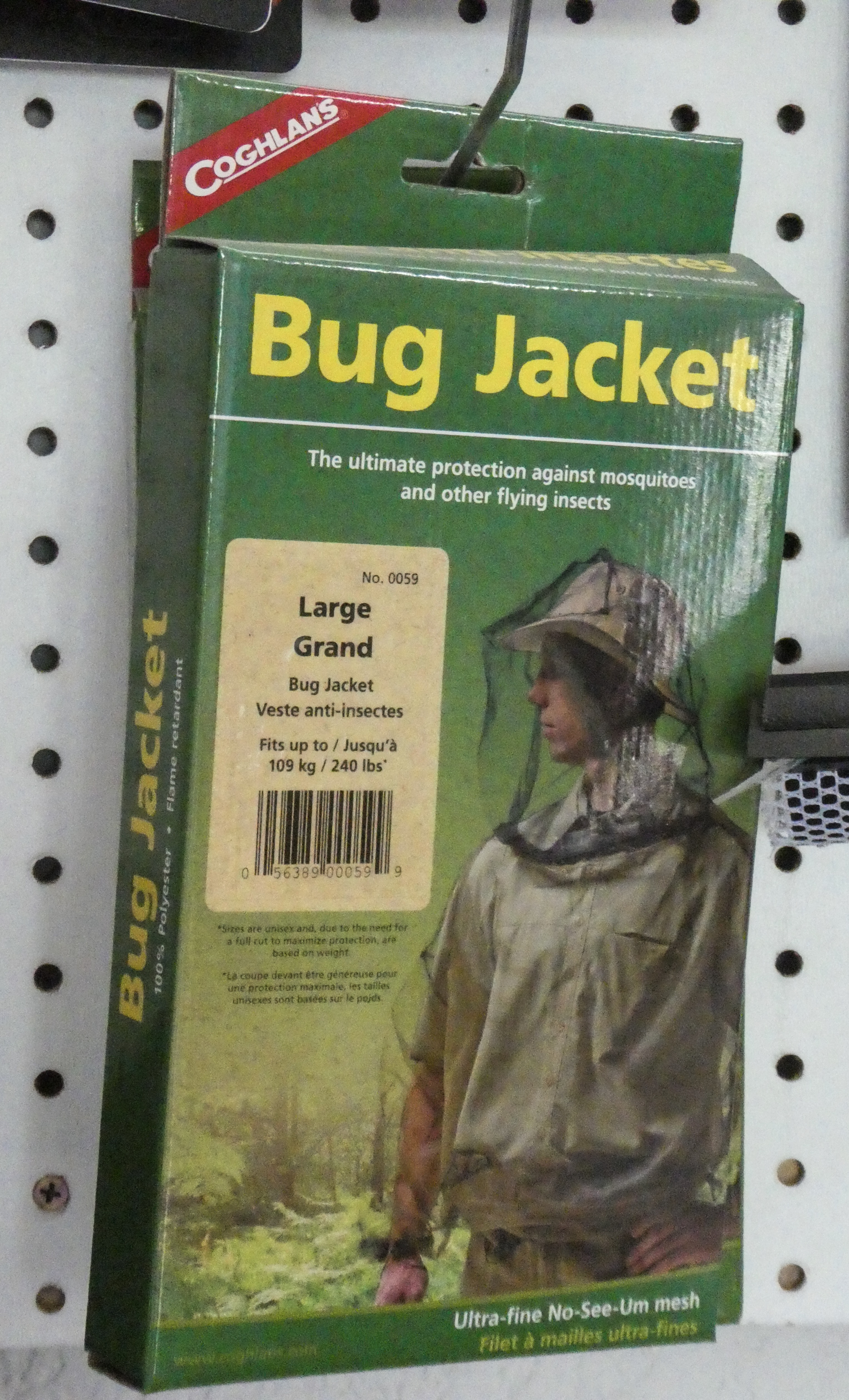
Before exploring Eagle, we found campsites in a BLM campground. Immediately after opening the car door, the mosquitoes descended upon us. Only a couple other places in Alaska were as mosquito infested as Eagle.

After 90 miles back down the rough and windy road, we rejoined the Top of the World Highway for Dawson City, Yukon, Canada
