Driving Across Northern Arizona

Navajo Fry Bread, Mutton Stew and Camping on the Jicarilla Apache Reservation

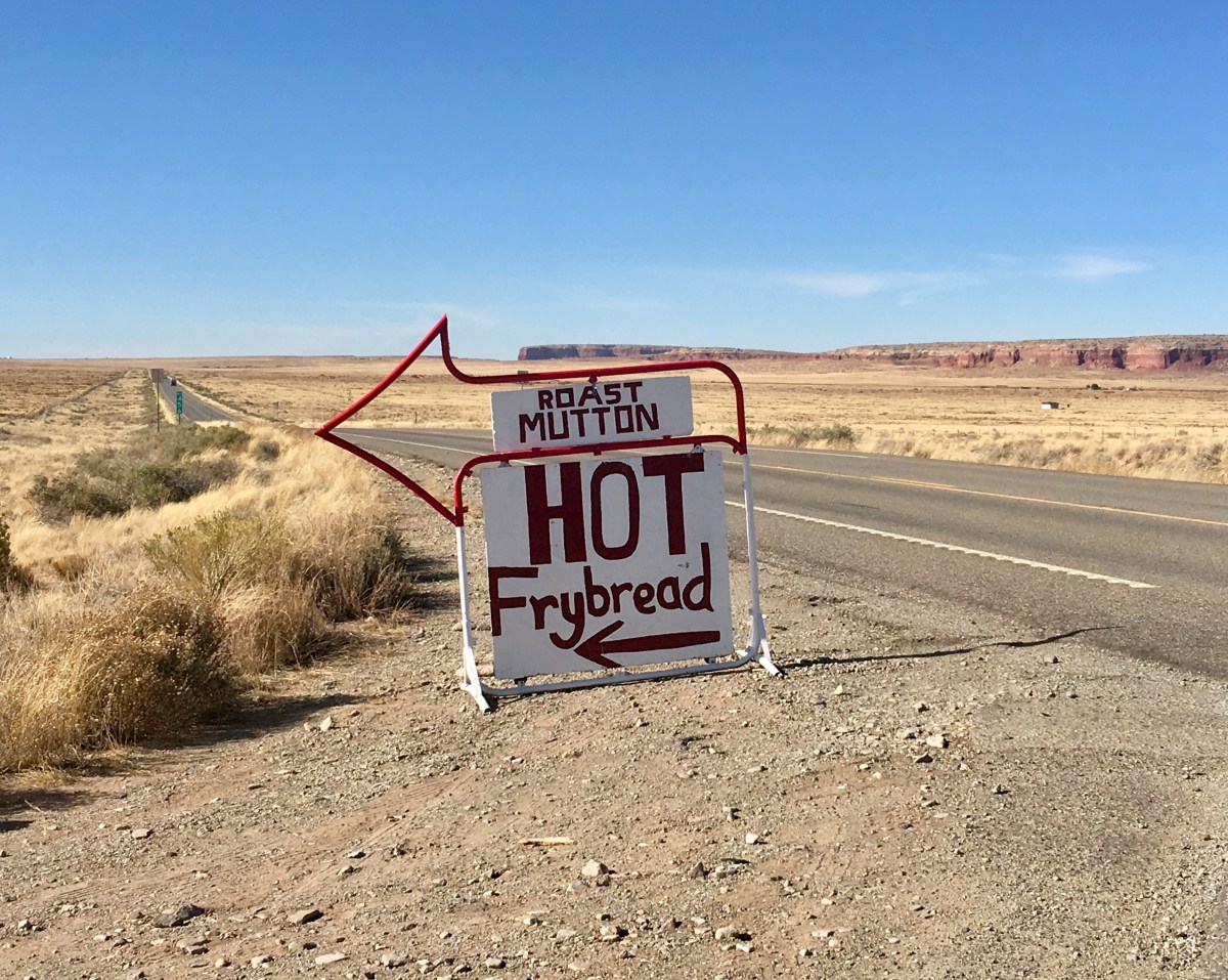
Stopping at Teec Nos Pos, for traditional Navajo food.  The food truck was heavily patronized by native people (signifying, I hope, authenticity). It was totally yummy and satisfying !

Fry bread is a flat dough bread, fried or deep-fried in oil, shortening, or lard. Made with simple ingredients, frybread can be eaten alone or with various toppings such as honey, jam, powdered sugar, or hot beef. Frybread can also be made into tacos, like Indian tacos. It is a simple complement to meals.

According to Navajo tradition, frybread was created in 1864 using the flour, sugar, salt and lard that was given to them by the United States government when the Navajo, who were living in Arizona, were forced to make the 300-mile journey known as the “Long Walk” and relocate to Bosque Redondo, New Mexico onto land that could not easily support their traditional staples of vegetables and beans.

For many Native Americans, “frybread links generation with generation and also connects the present to the painful narrative of Native American history”. It is often served both at home and at gatherings. The way it is served varies from region to region and different tribes have different recipes. It can be found in its many ways at state fairs and pow-wows, but what is served to the paying public may be different from what is served in private homes and in the context of tribal family relations.

Our cold (12 degrees Farenheit last night) but lovely campsite on the Jicarilla Apache Nation, next to Stone Lake was scenic and inexpensive (free)!

Lower Antelope Canyon and Navajo National Monument

Lower Antelope Canyon

Antelope Canyon is located near Page on Navajo Nation land, just outside Glen Canyon National Recreation Area. Antelope is the most visited slot canyon in the Southwest, partly because it is easily accessible and by far the most publicized, and also since it is extremely beautiful, with just the right combination of depth, width, length, rock color and ambient light; many other slot canyons are deeper, narrower or longer, and some have rock that is even more colorful and sculptured, but here conditions are ideal.”


Our Hopi guide Mathew takes us down into the canyon

 “Antelope Canyon was formed by erosion of Navajo Sandstone, primarily due to flash flooding and secondarily due to other sub-aerial processes. Rainwater, especially during monsoon season, runs into the extensive basin above the slot canyon sections, picking up speed and sand as it rushes into the narrow passageways. Over time the passageways eroded away, making the corridors deeper and smoothing hard edges in such a way as to form characteristic “flowing” shapes in the rock.”

Navajo National Monument

Navajo National Monument is a National Monumentlocated within the northwest portion of the Navajo Nation territory in northern Arizona, which was established to preserve three well-preserved cliff dwellings of the Ancestral Puebloan People: Broken Pottery (Kitsʼiil), Ledge House (Bitátʼahkin), and Inscription House (Tsʼah Biiʼ Kin). The monument is high on the Shonto plateau, overlooking the Tsegi Canyon system, west of Kayenta, Arizona. It features a visitor center with a museum, two short self-guided mesa top trails, two small campgrounds, and a picnic area. Rangers guide visitors on free tours of the Keet Seel and Betatakin cliff dwellings.“

After a short hike to view the Betatakin cliff dwelling, we settled into our lovely campsite for the evening. This time of year, the campground was nearly empty and is always free of charge!