With 3 million acres of wilderness, Death Valley is the largest national park outside Alaska. Elevations in the park range from -282 feet below sea level at Bad Water (the lowest point in North America), to 11,049 feet at Telescope Peak. The park encompasses 3.3 million acres and normally enjoys summer temperatures in the 110’s and 120’s, but also experienced a record temperature of 134 degrees Fahrenheit. It is considered the hottest place on earth and the driest place in the United States.
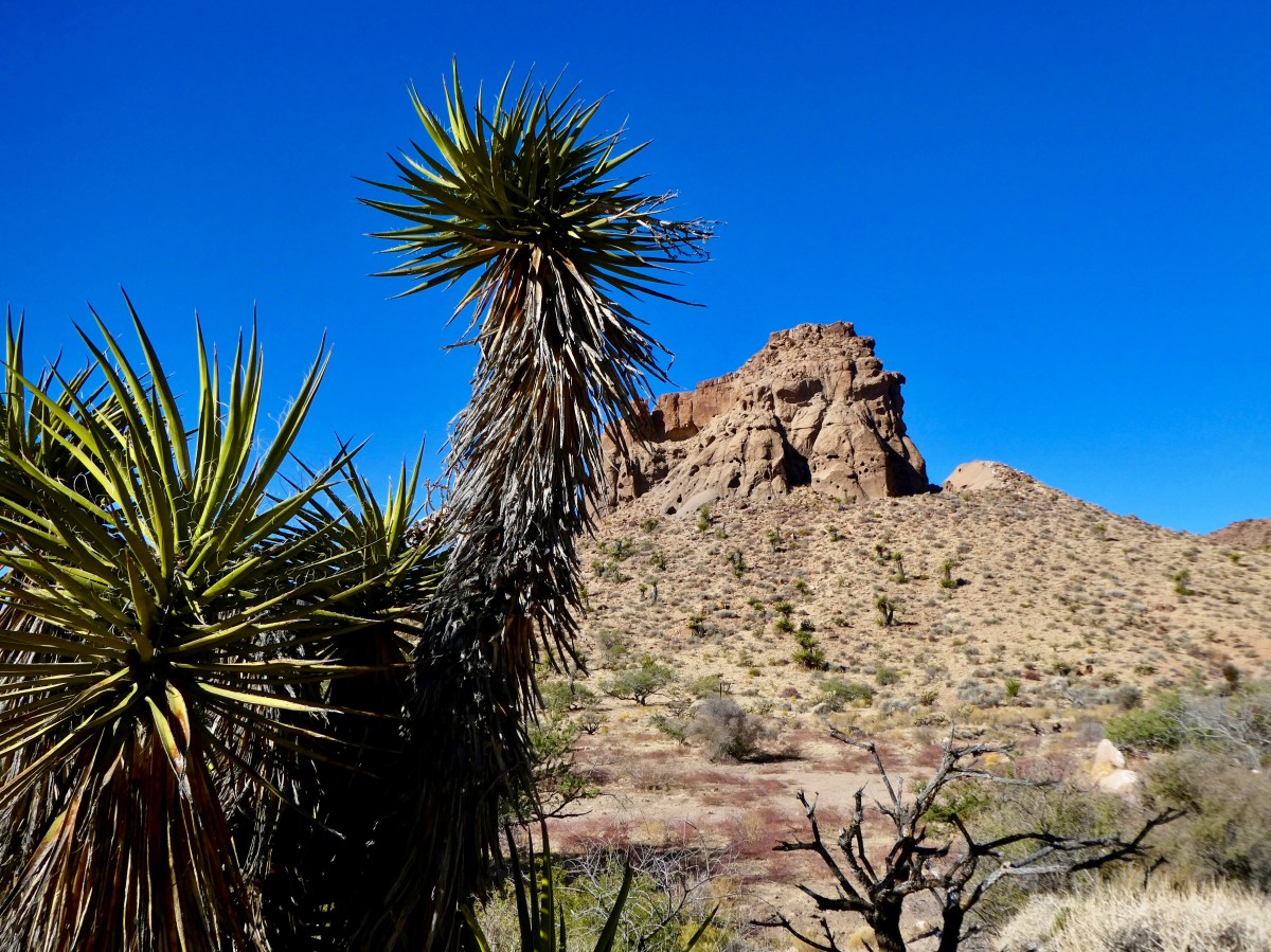
Of the more than 900 plant species found, 19 are unique to this area.
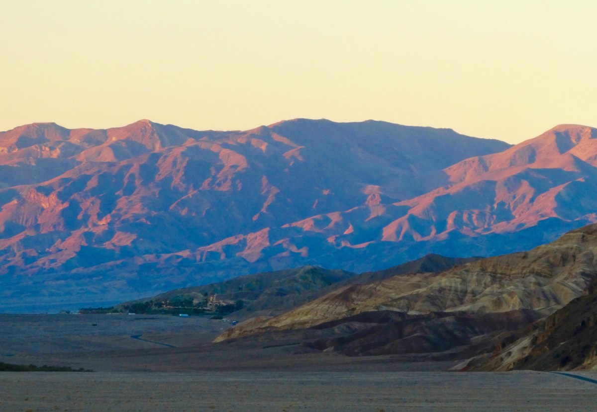
Driving in from the south as the sun sets, we make our way up a narrow winding road to the Wildrose Campground at 4,100 ft elevation. The mountains being much cooler than the surrounding desert, the temperature dropped quickly from 72 degrees, down to a low of 31 degrees in the early morning.

Up early at Wildrose Campground, we drove the dirt road up Wildrose Canyon toward the Charcoal Kilns and Mahogany Flats.
The 25’ high Charcoal Kilns were used to produce charcoal to smelt lead and silver from local ore mined beginning in 1877, and ceased operations shortly afterward.


After the Kilns, the 4WD Road gets a bit rough, climbing to the Mahogany Flats Campground and the road’s end at 8,133 ft.


Returning the way we came, we head for the Visitor’s Center to view the exhibits and plan a sunset photo tour of the park.
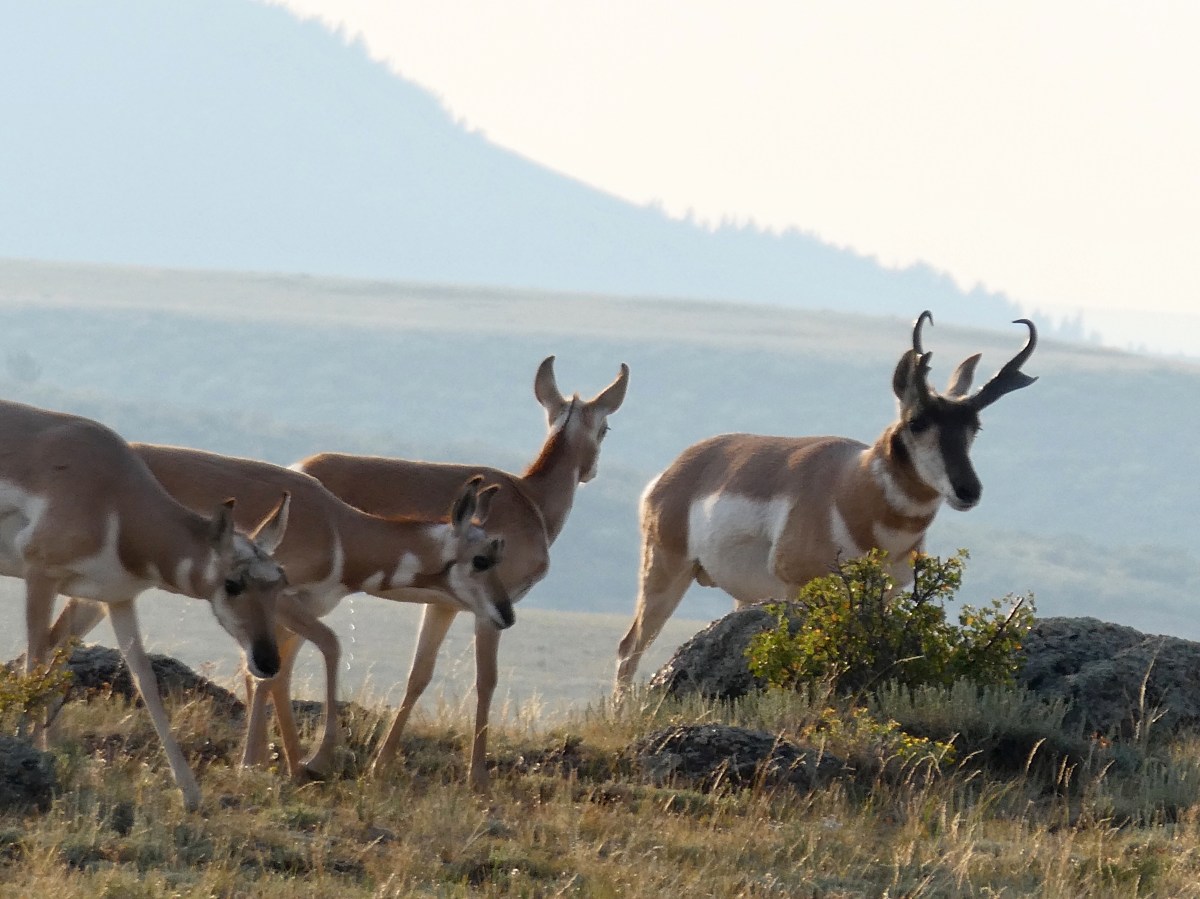
On the way, we encounter a small herd of feral donkeys, turned loose after mining operations ceased in the late 19th century.


From the Visitor’s Center we set out for Bad Water Basin and Artists Drive before the sunset. On the way we pause at the Harmony Borax Works and an example of the “20 Mule Team” borax mining transportation and extraction methods.

Next stop: Badwater Basin
Badwater Basin is an endorheic basin in Death Valley National Park, noted as the lowest point in North America, with a depth of 282 ft (86 m) below sea level. Mount Whitney, the highest point in the contiguous 48 United States, is only 84.6 miles (136 km) to the northwest.
The site itself consists of a small spring-fed pool of “bad water” next to the road in a sink; the accumulated salts of the surrounding basin make it undrinkable, thus giving it the name.


From Bad Water we quickly travel to Artists Drive to attempt to capture the beautiful mineral colors in the hot light of sunset.
Artist’s Drive rises up to the top of an alluvial fan fed by a deep canyon cut into the Black Mountains. Artist’s Palette is an area on the face of the Black Mountains noted for a variety of rock colors. These colors are caused by the oxidation of different metals (iron compounds produce red, pink and yellow, decomposition of tuff-derived mica produces green, and manganese produces purple).
Called the Artist Drive Formation, the rock unit provides evidence for one of the Death Valley area’s most violently explosive volcanic periods. The Miocene-aged formation is made up of cemented gravel, playa deposits, and volcanic debris, perhaps 5,000 feet (1500 m) thick. Chemical weathering and hydrothermal alteration cause the oxidation and other chemical reactions that produce the variety of colors displayed in the Artist Drive Formation and nearby exposures of the Furnace Creek Formation.

Artists Palette


Artists Drive is a very narrow one-way road restricted to vehicles less than 25 feet in length.

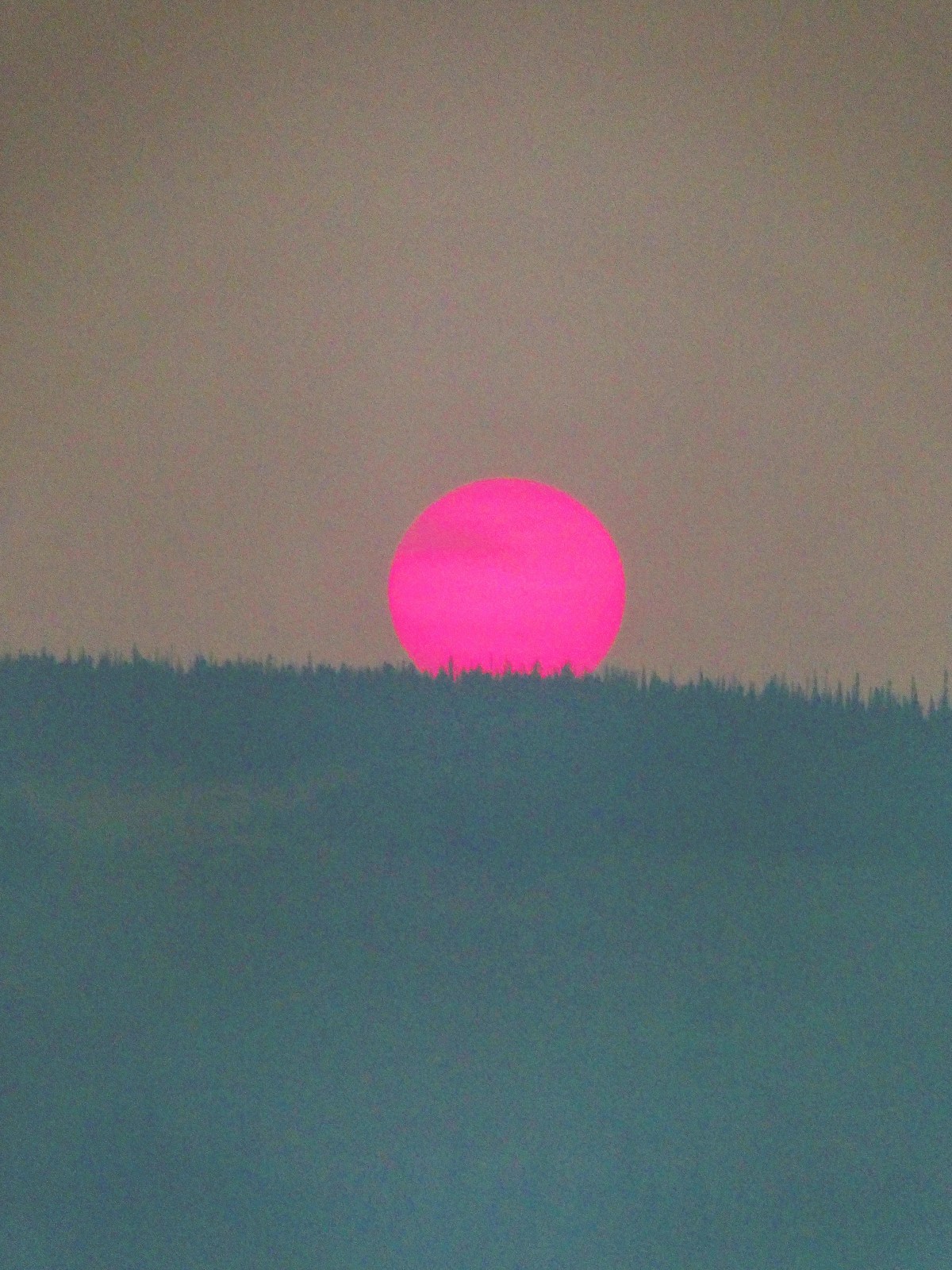
Alas, dusk put an end to our photographic endeavors, but a sunset dinner back at our campsite provided more than adequate recompense.

There is so much to experience in Death Valley and we have barely scratched the surface. We will undoubtedly return!
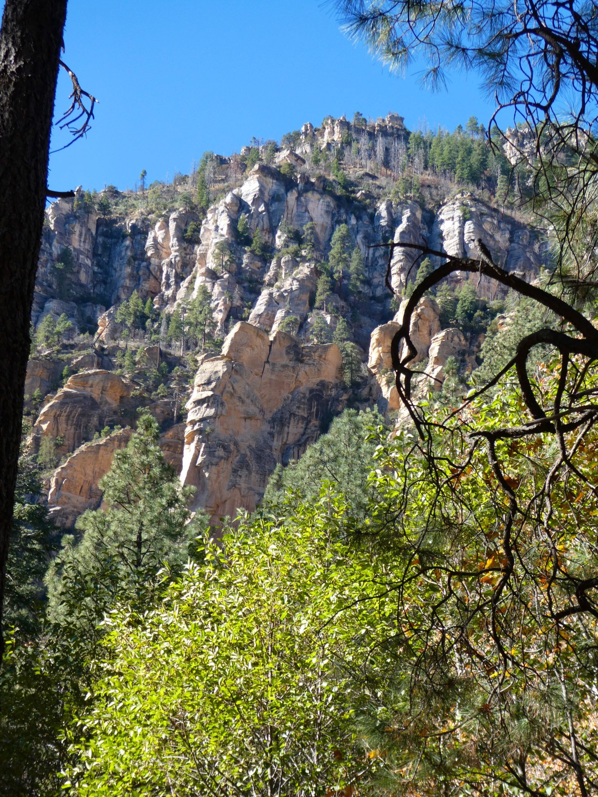
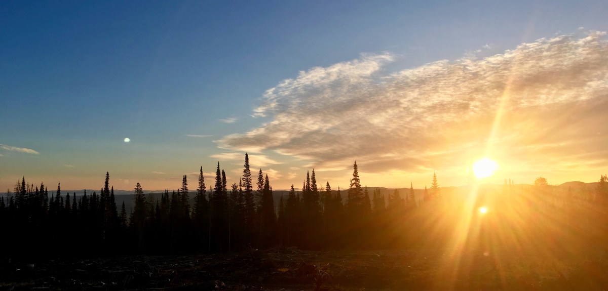
Tomorrow, on to Flagstaff and Sedona Arizona.
36.607182
-117.146738