Denali National Park

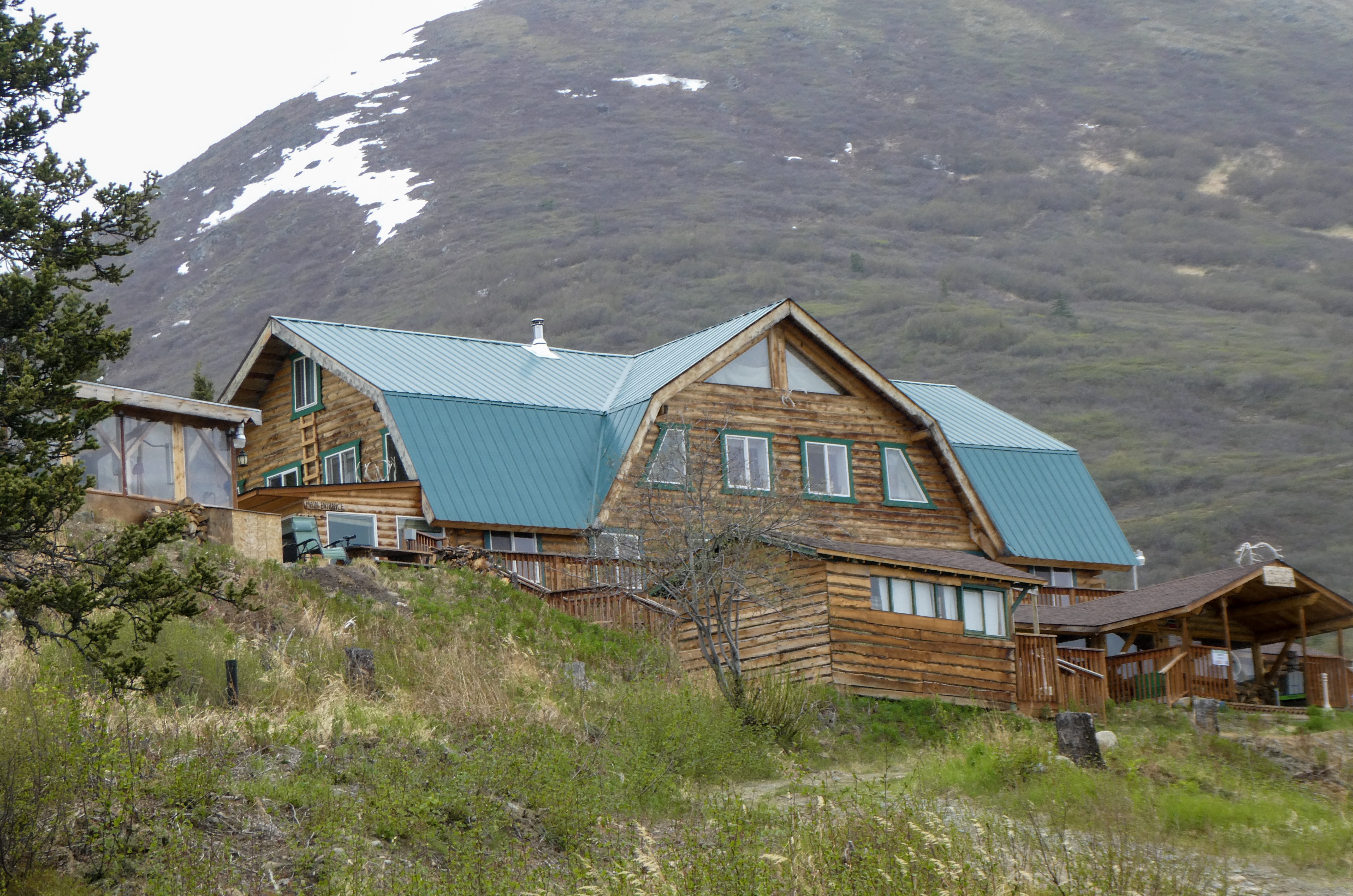
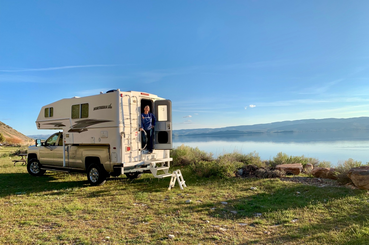
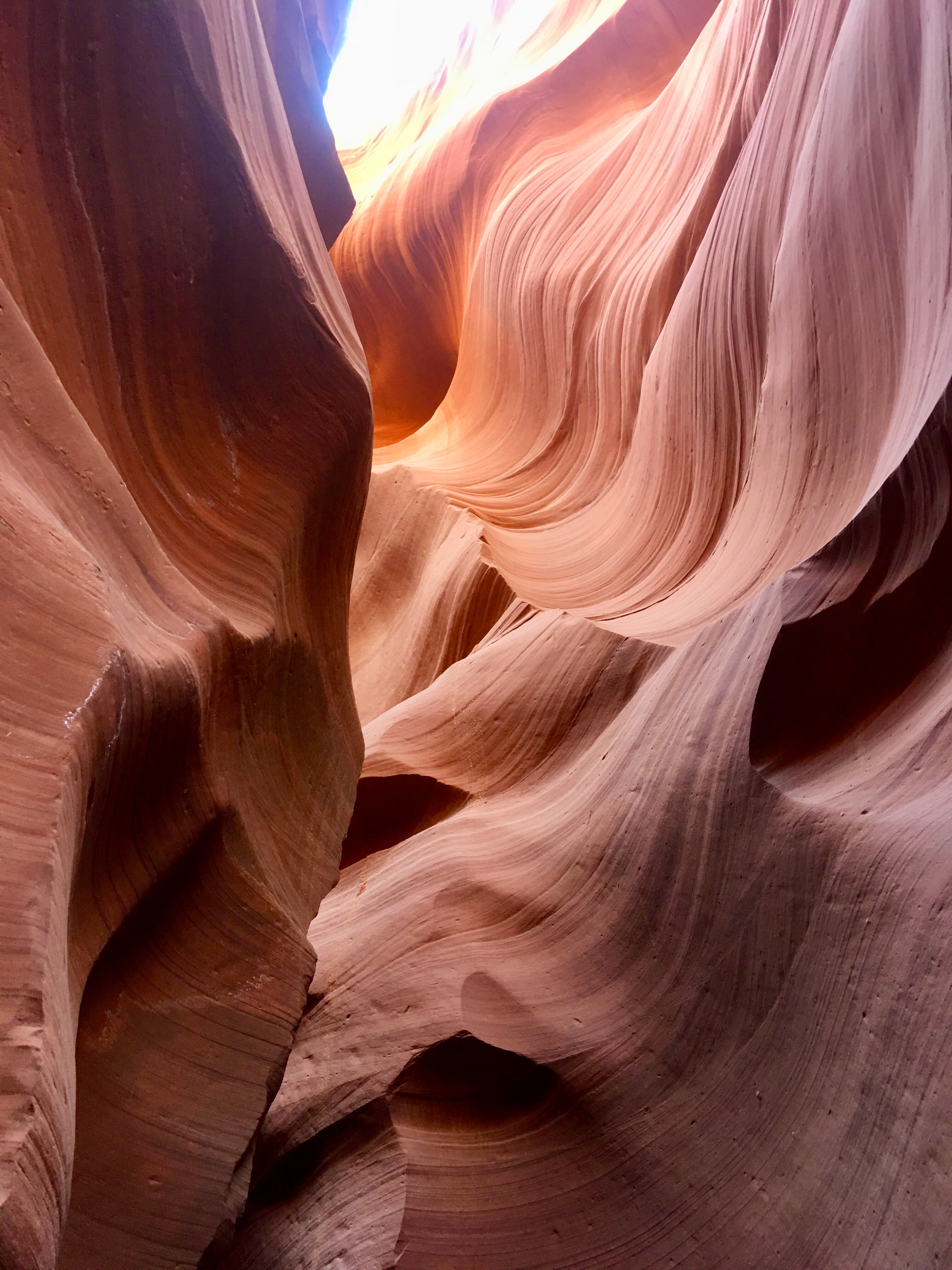
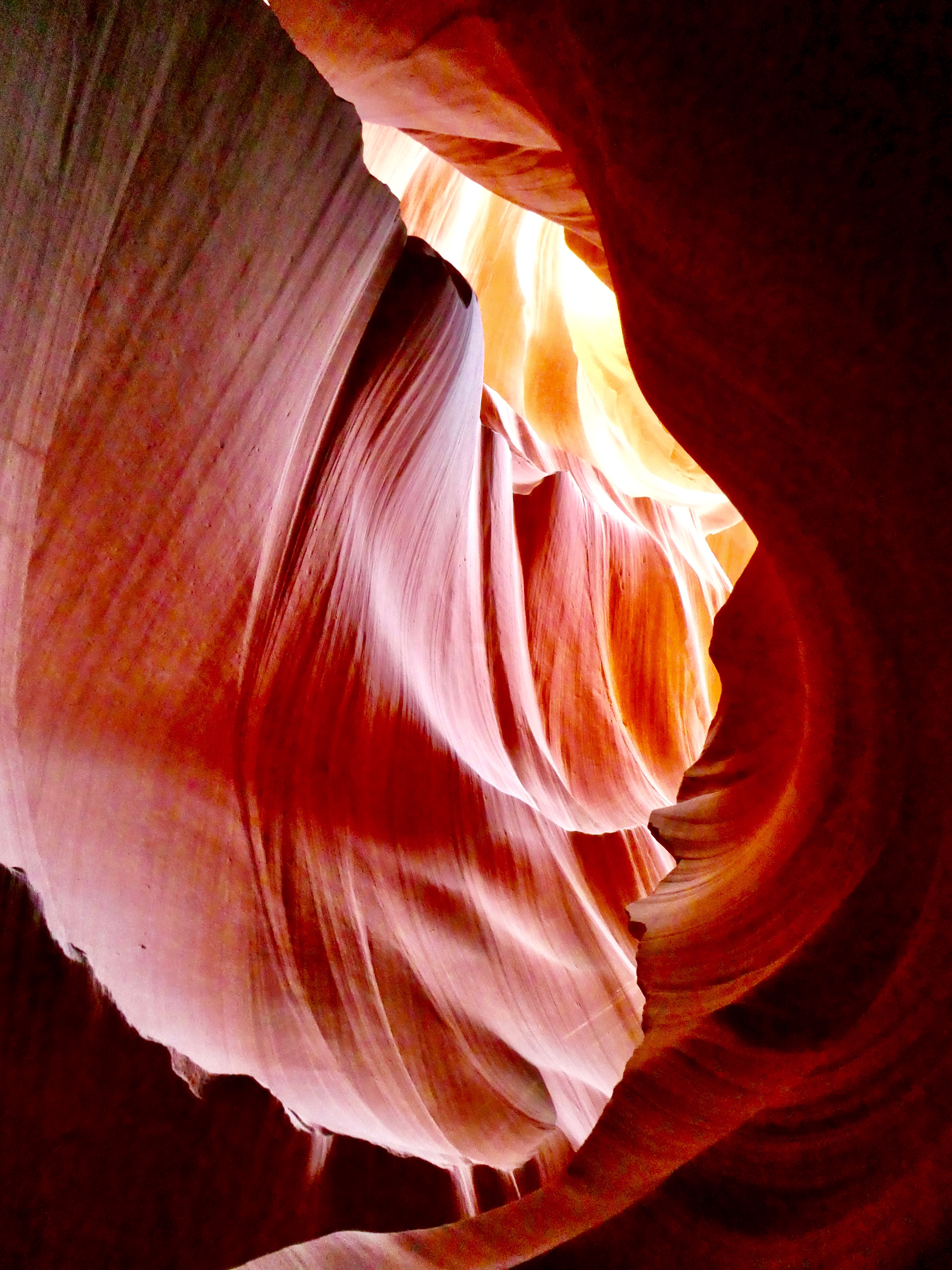
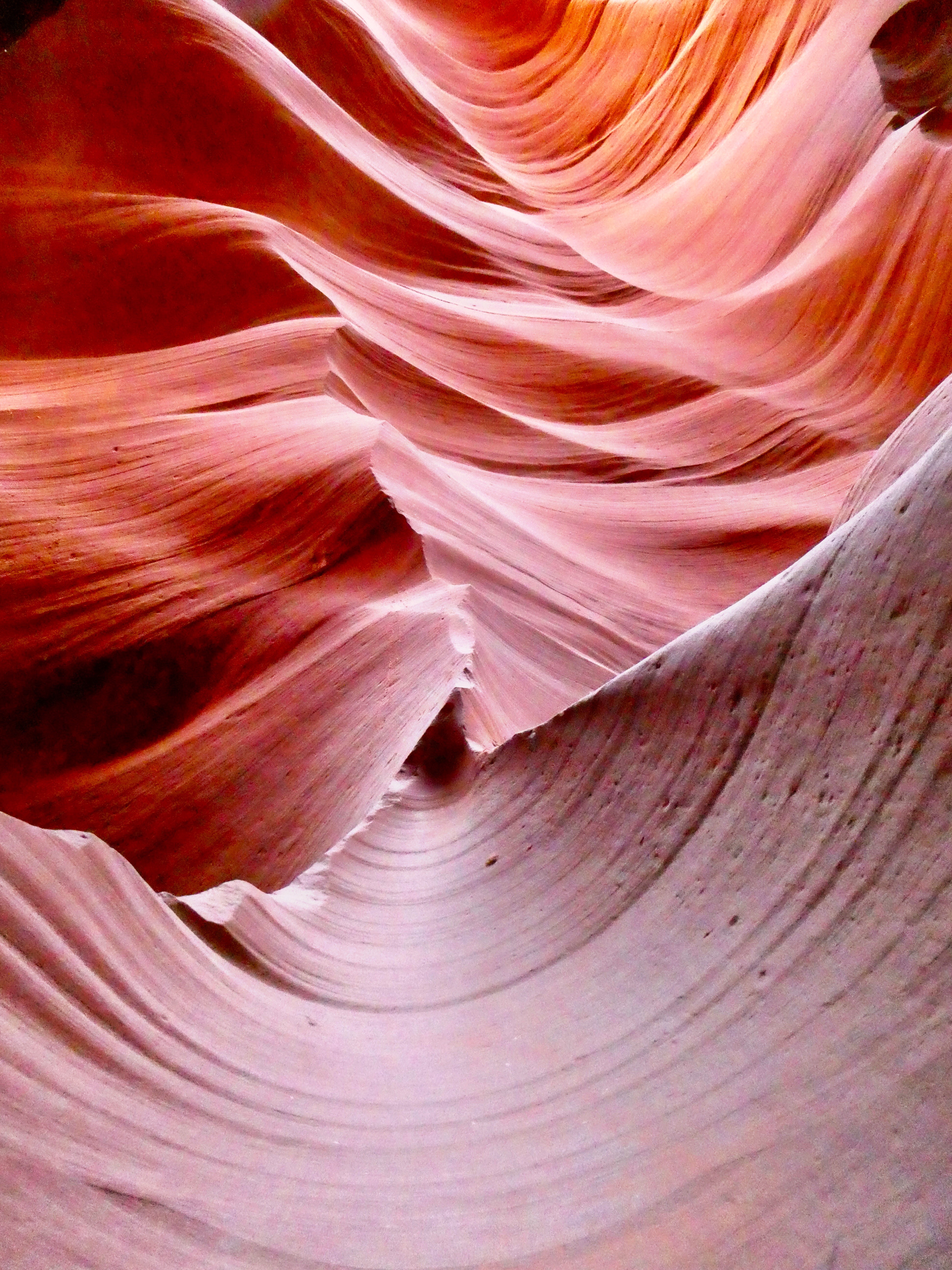
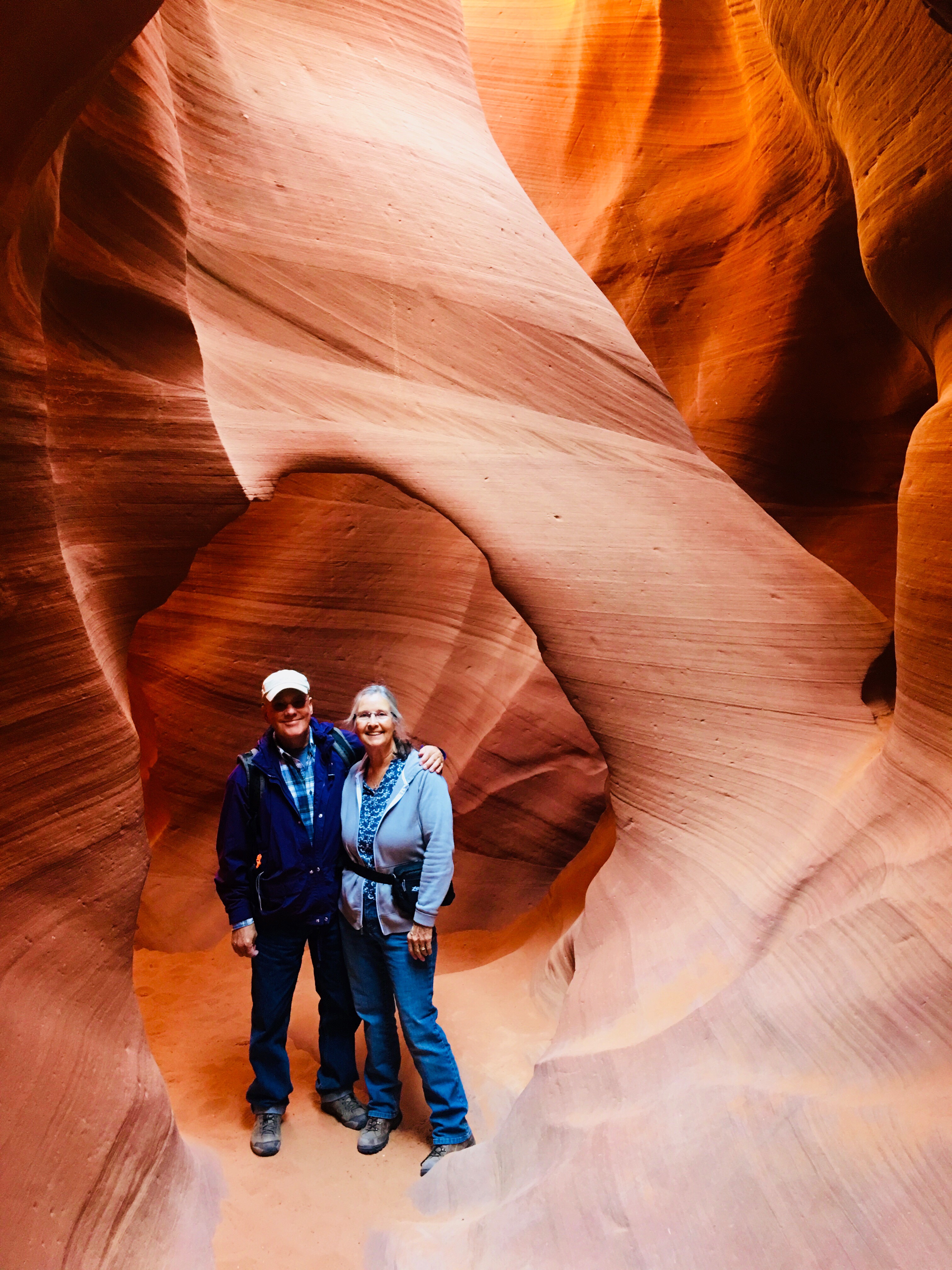
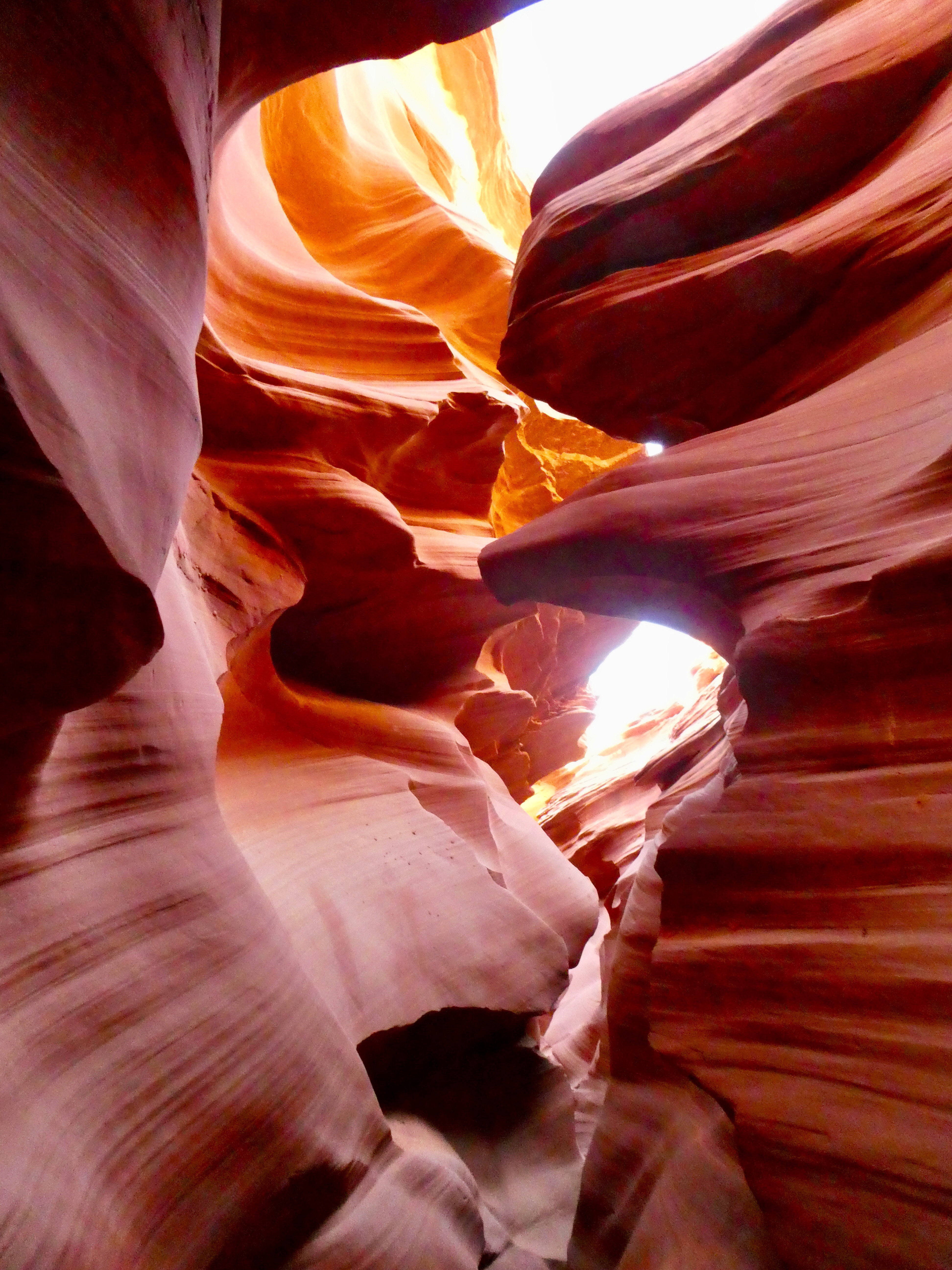
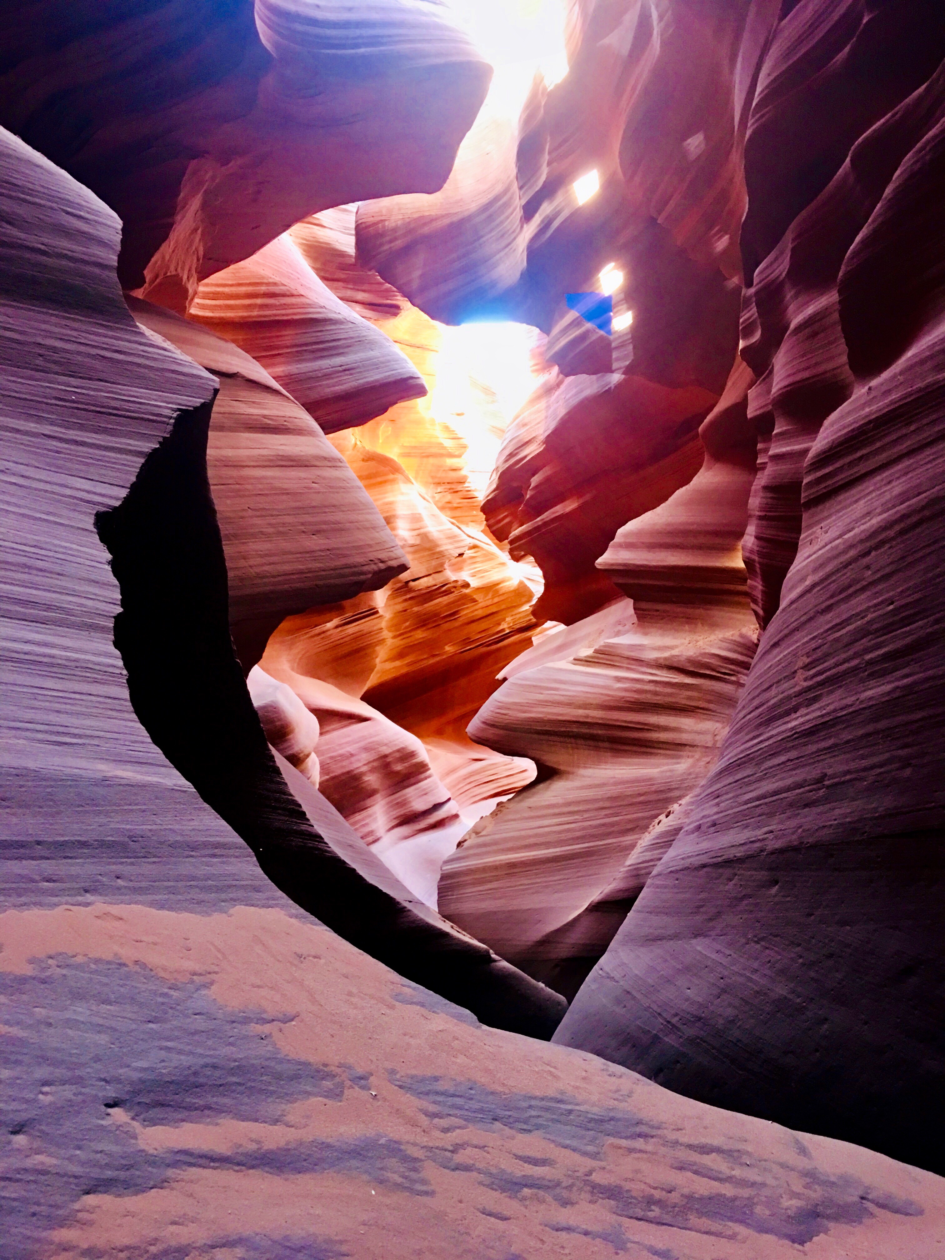
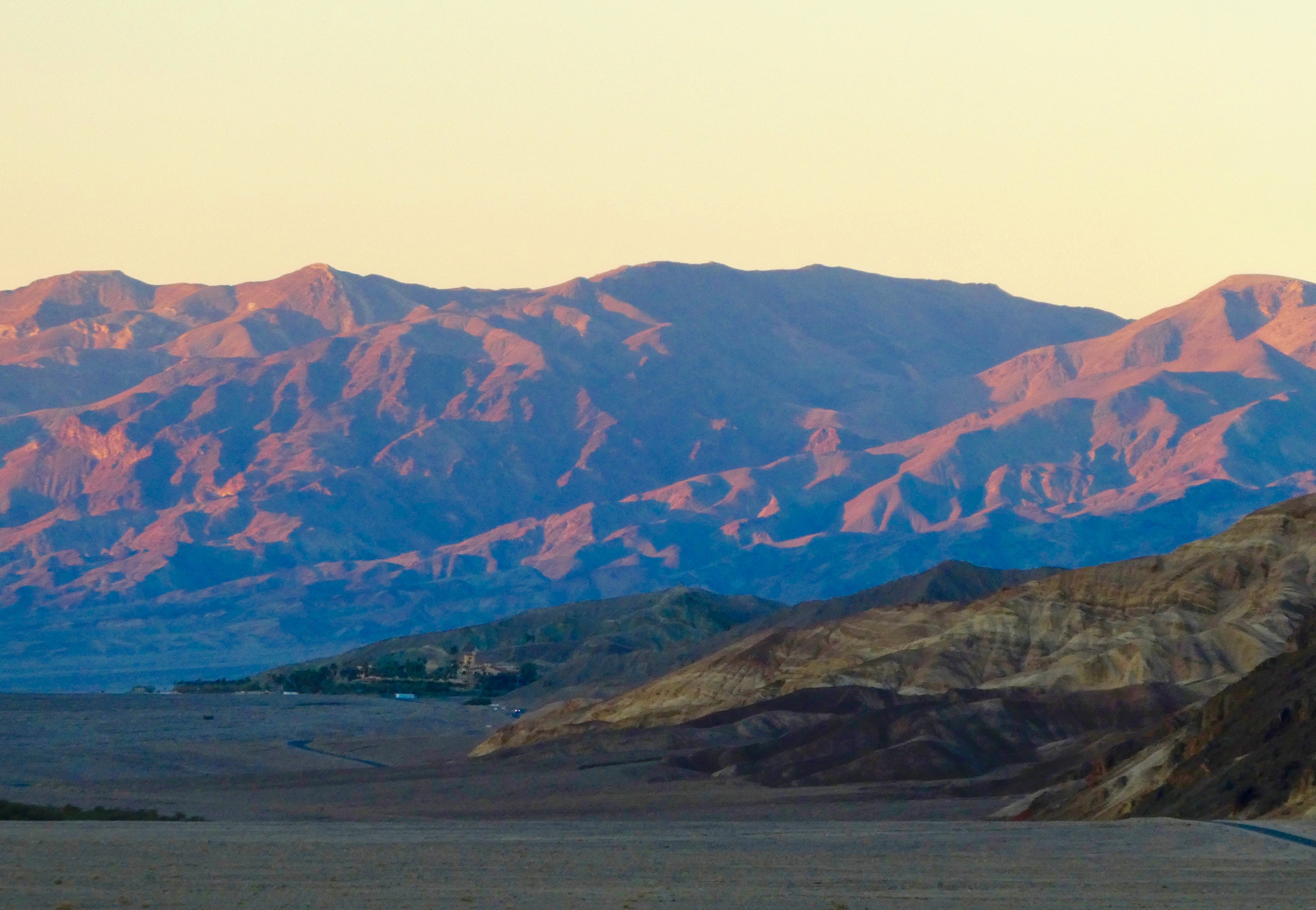
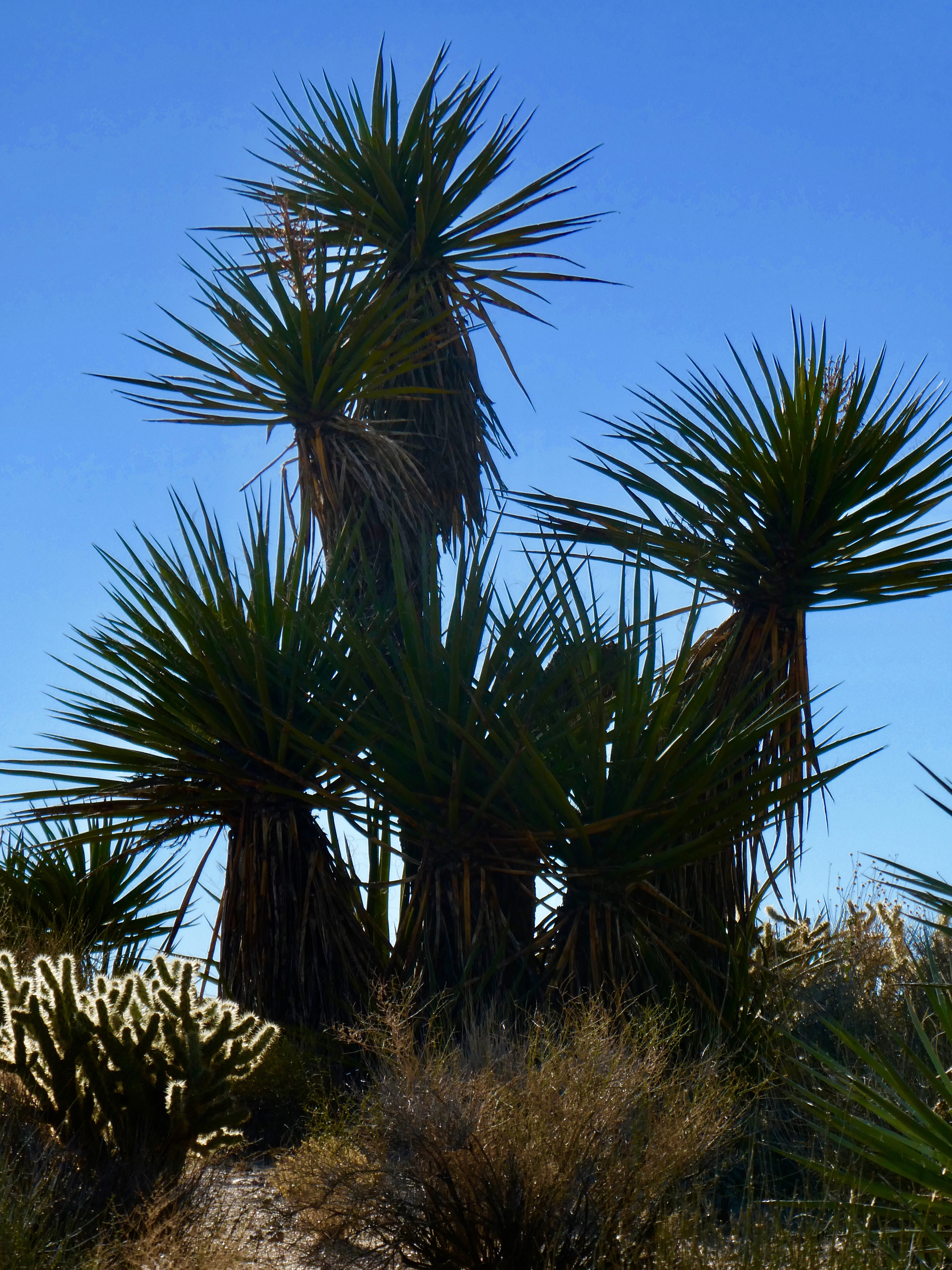
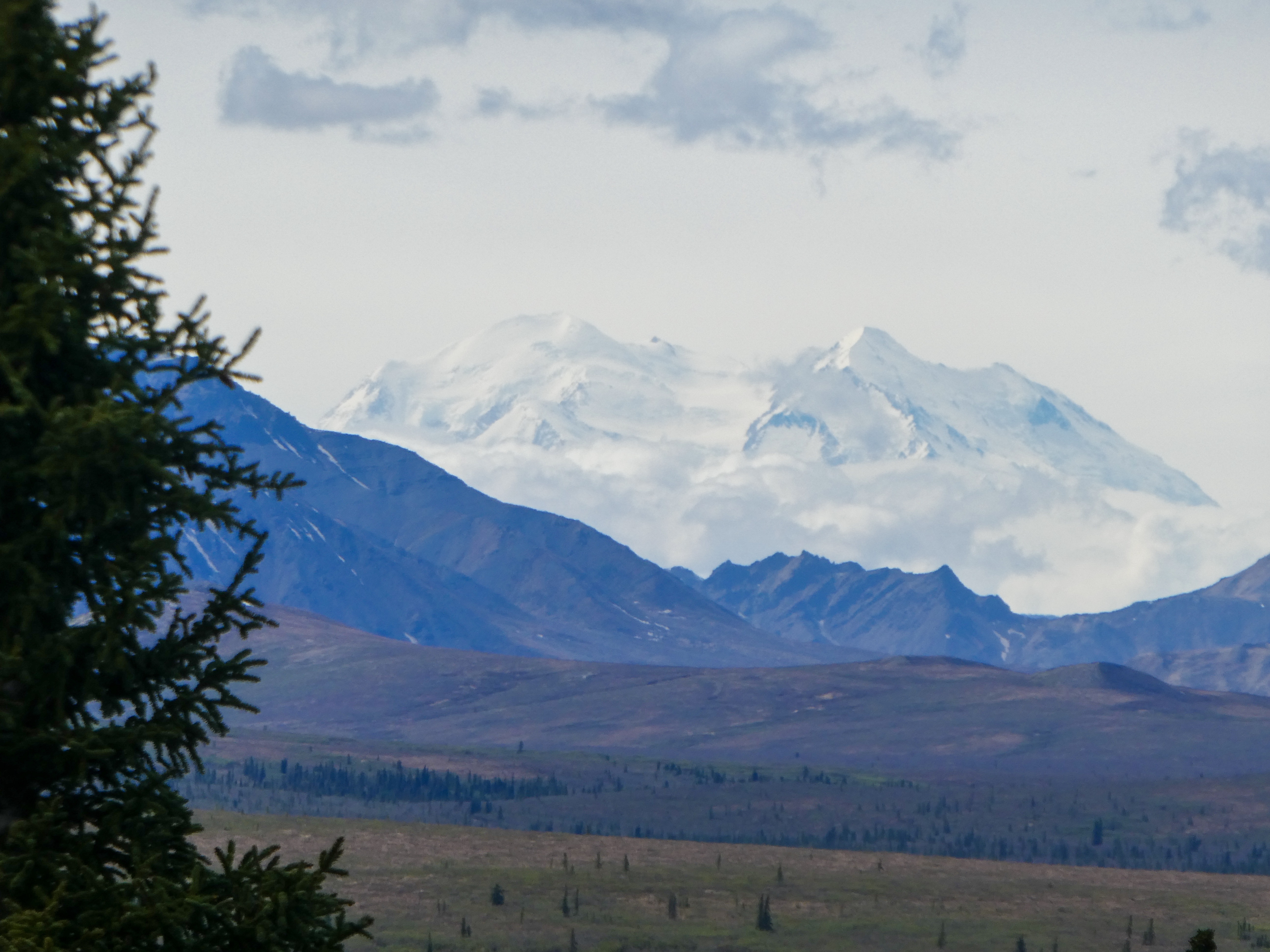
Today: 64 degrees, sunny and Denali is clearly visible. Alaska heaven!

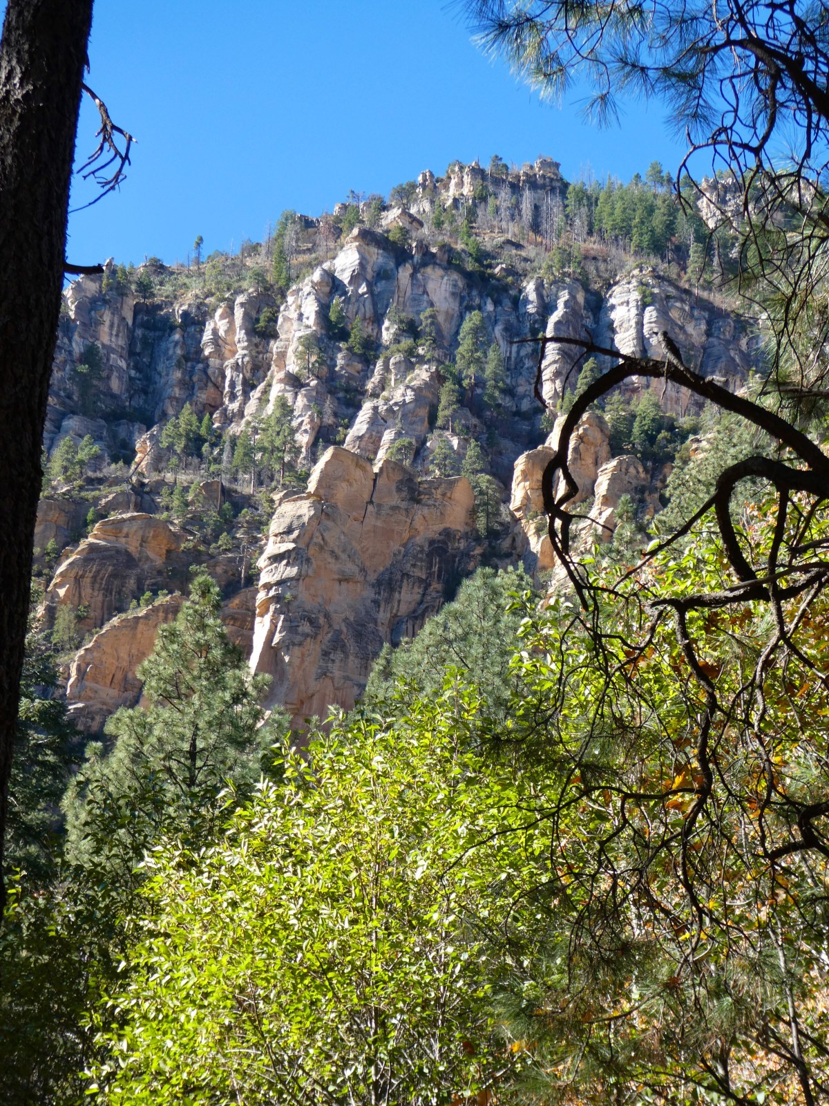
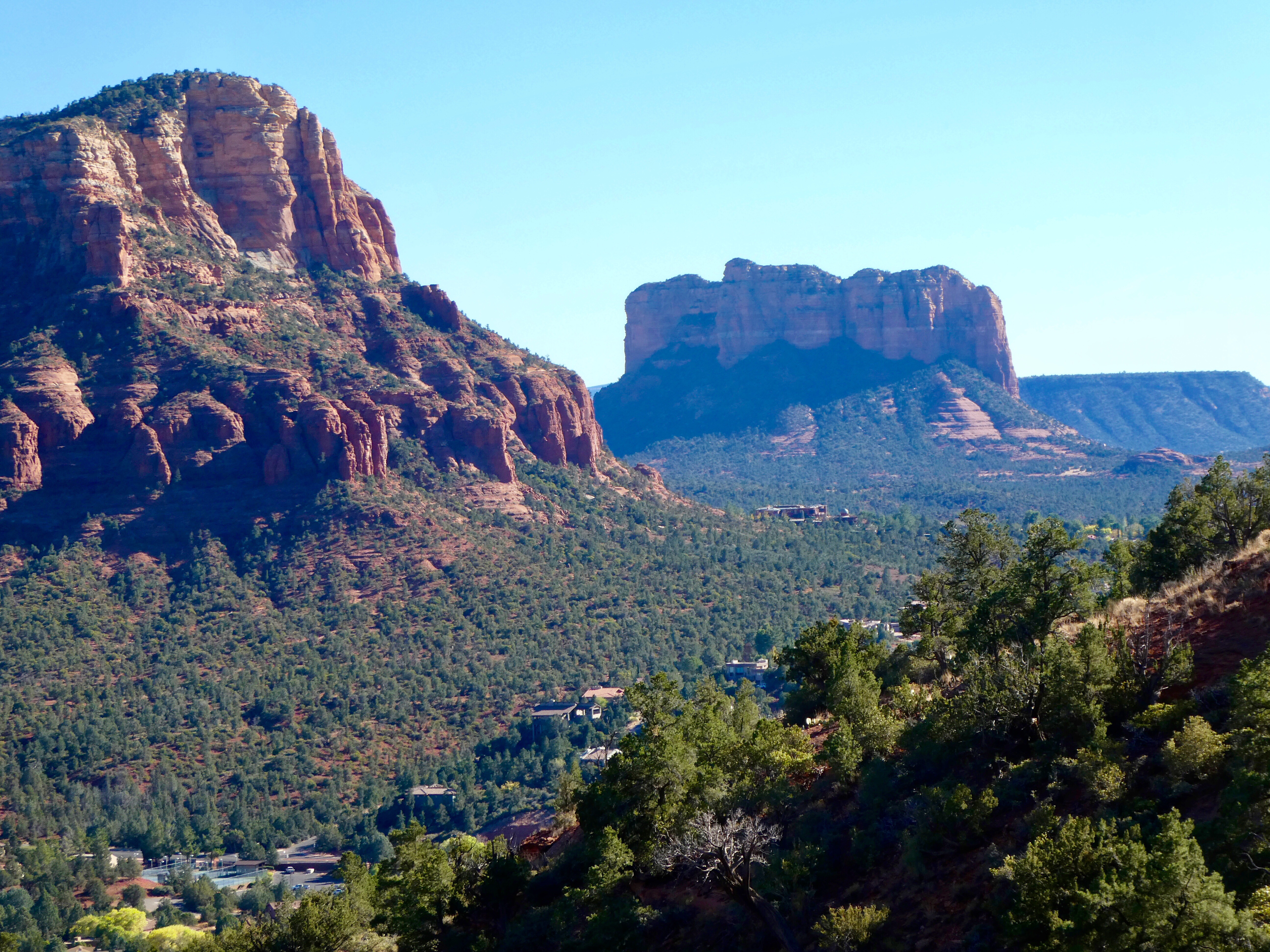
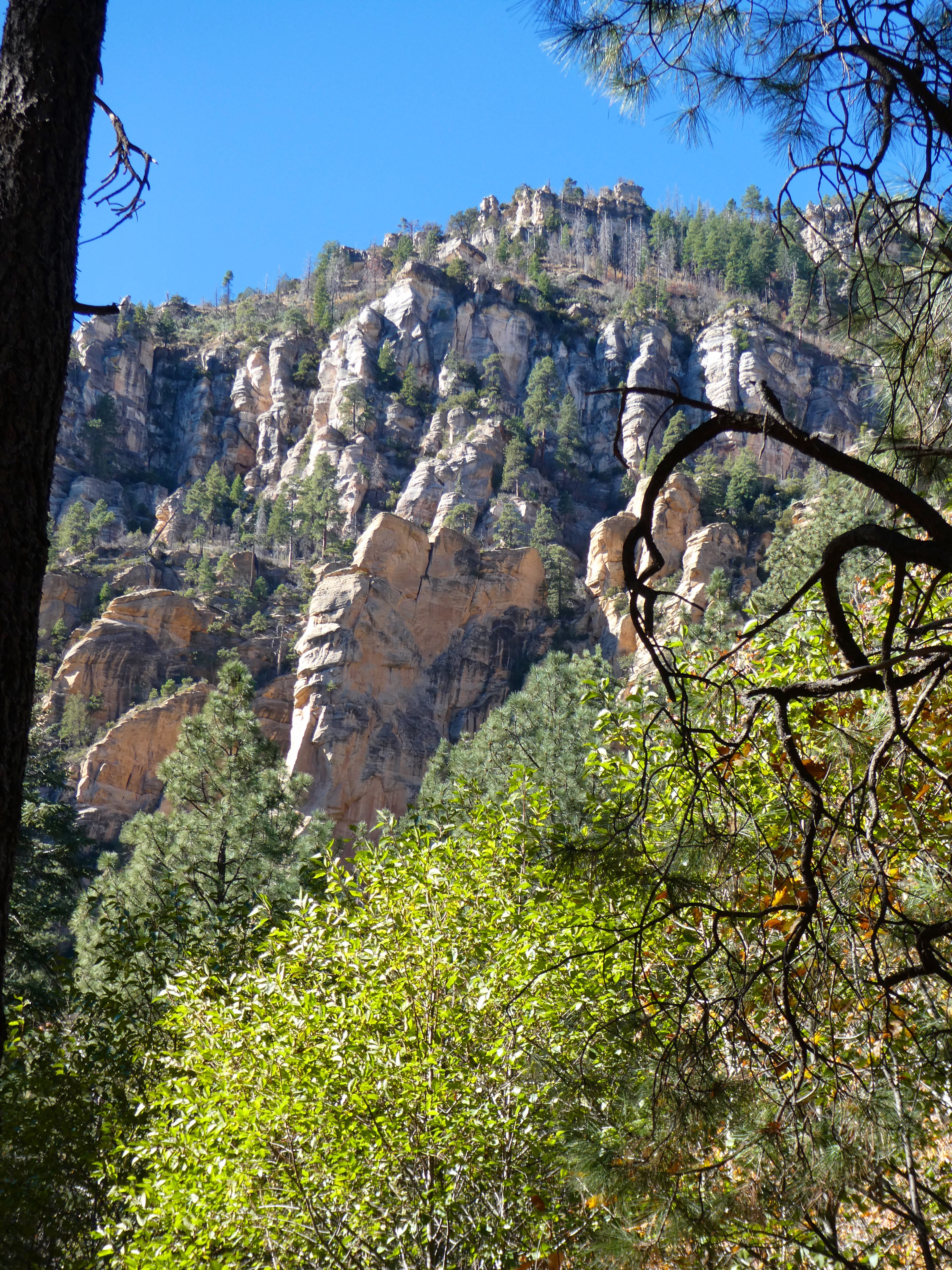
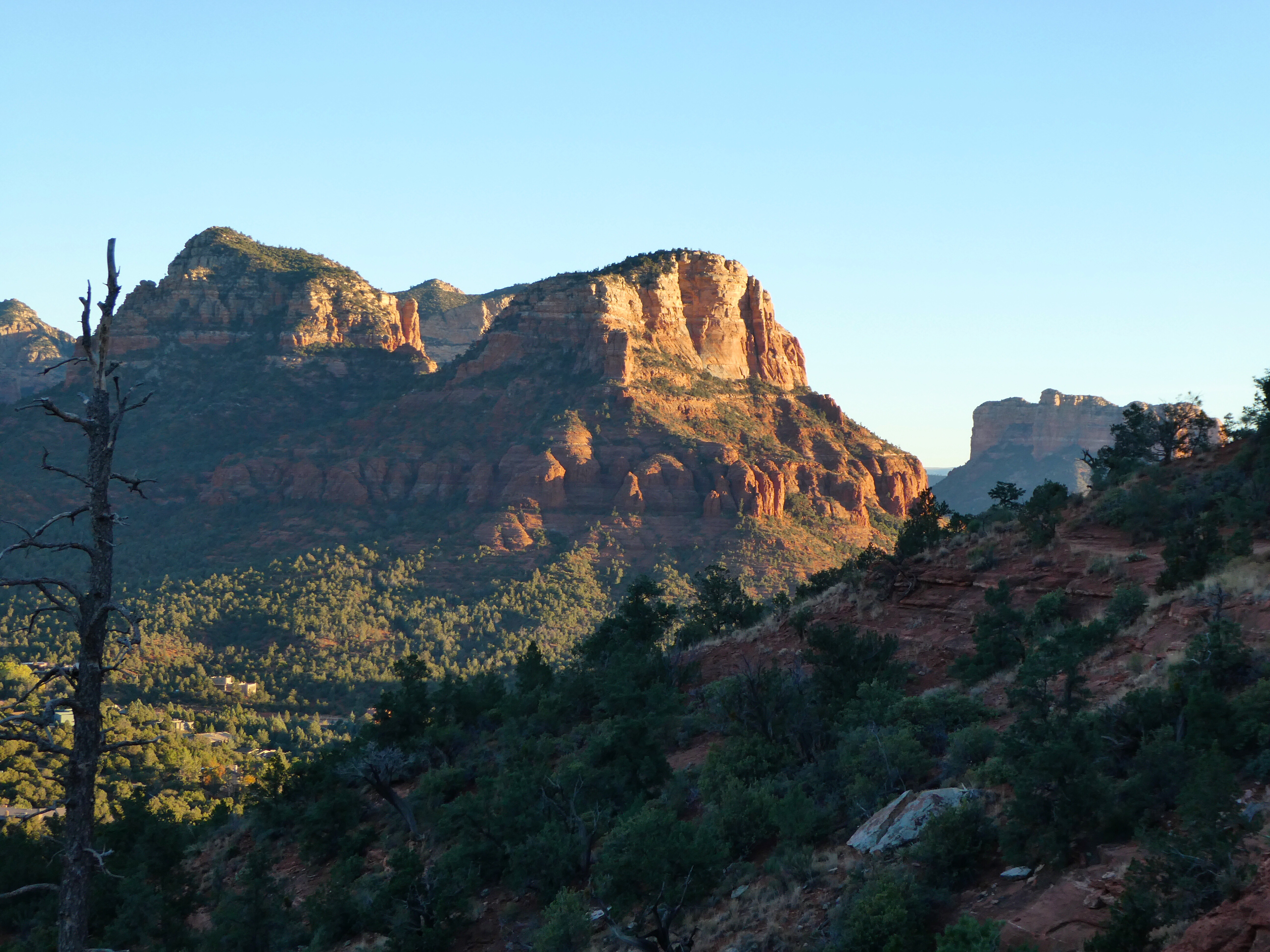
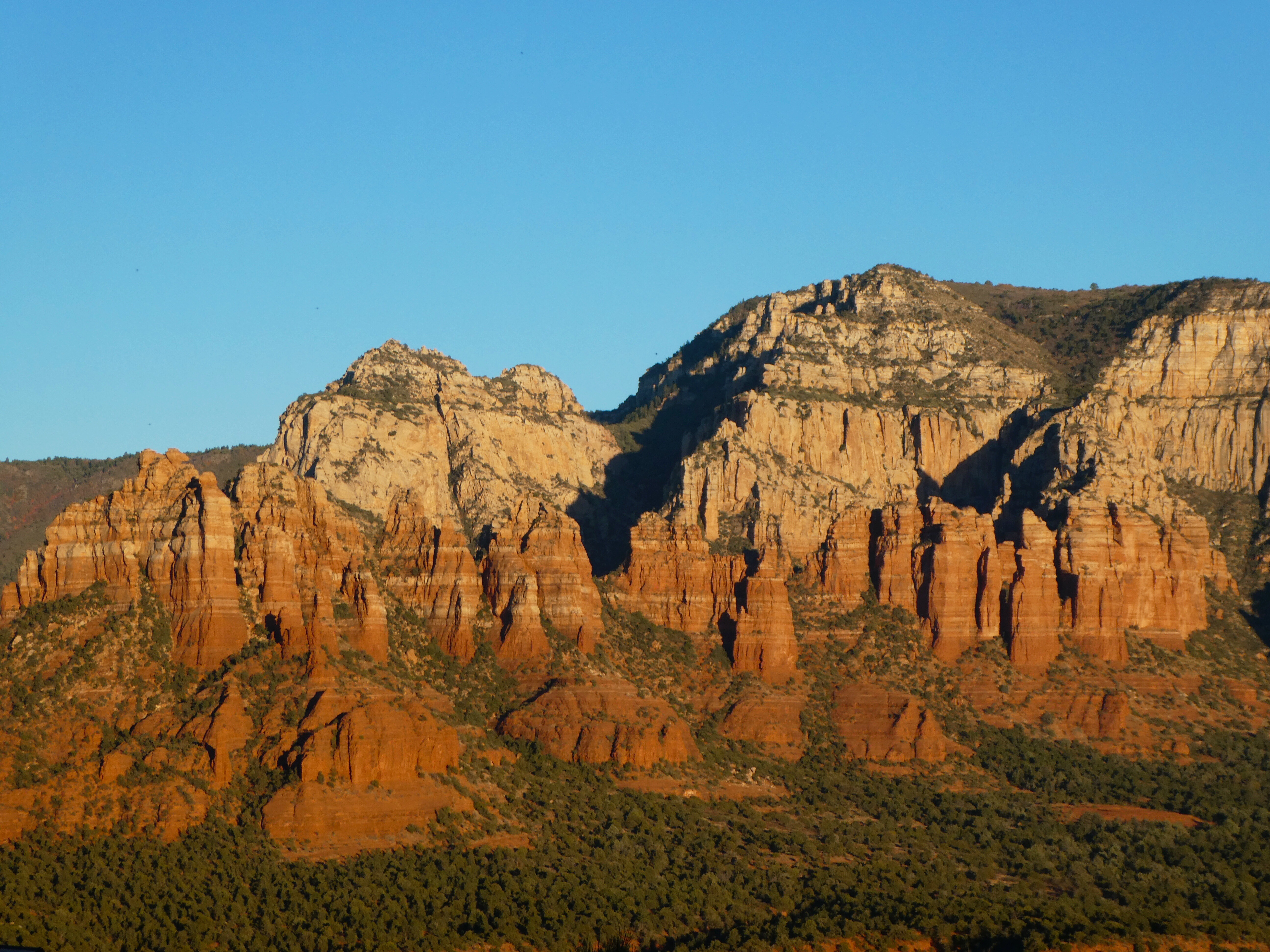
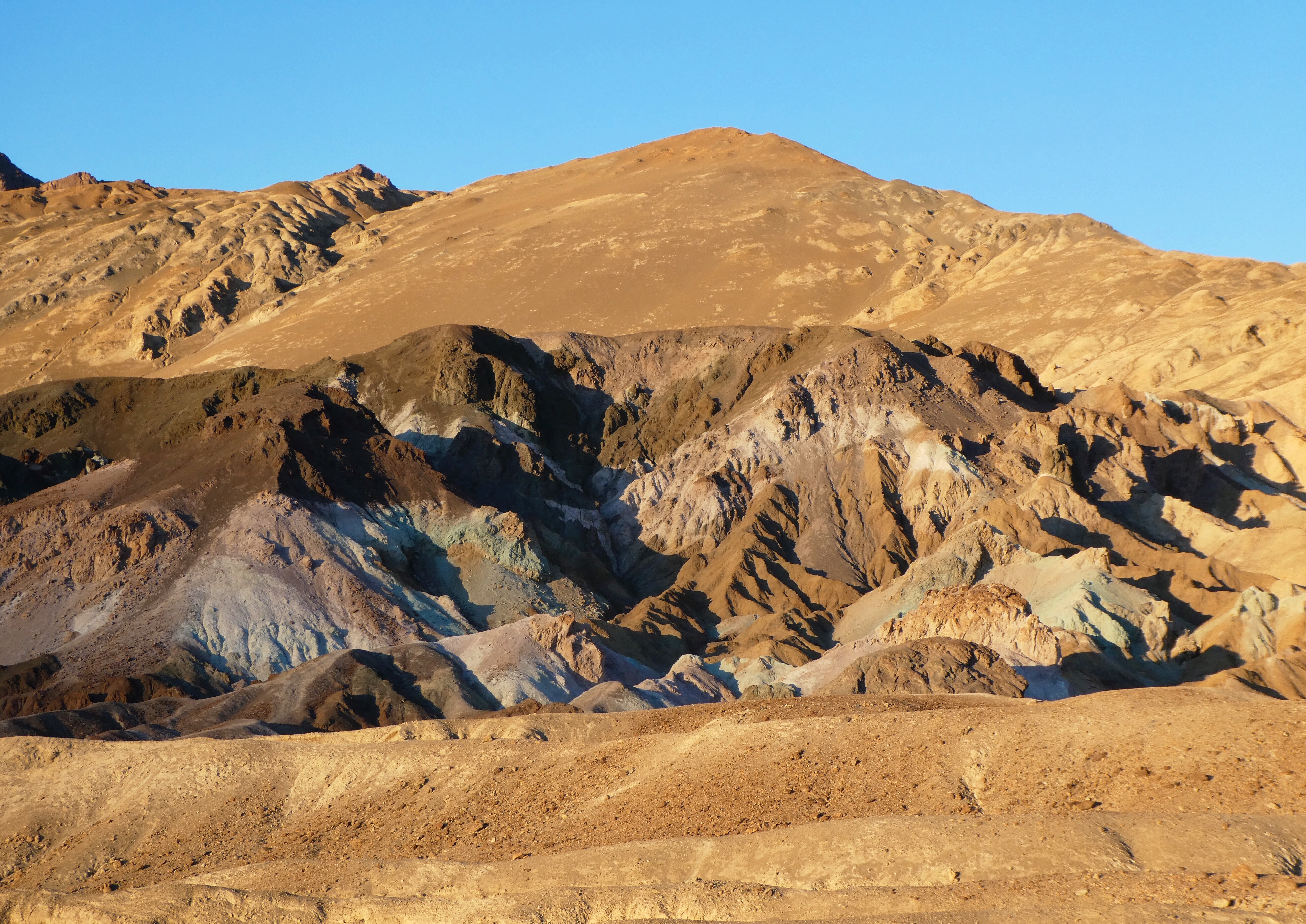
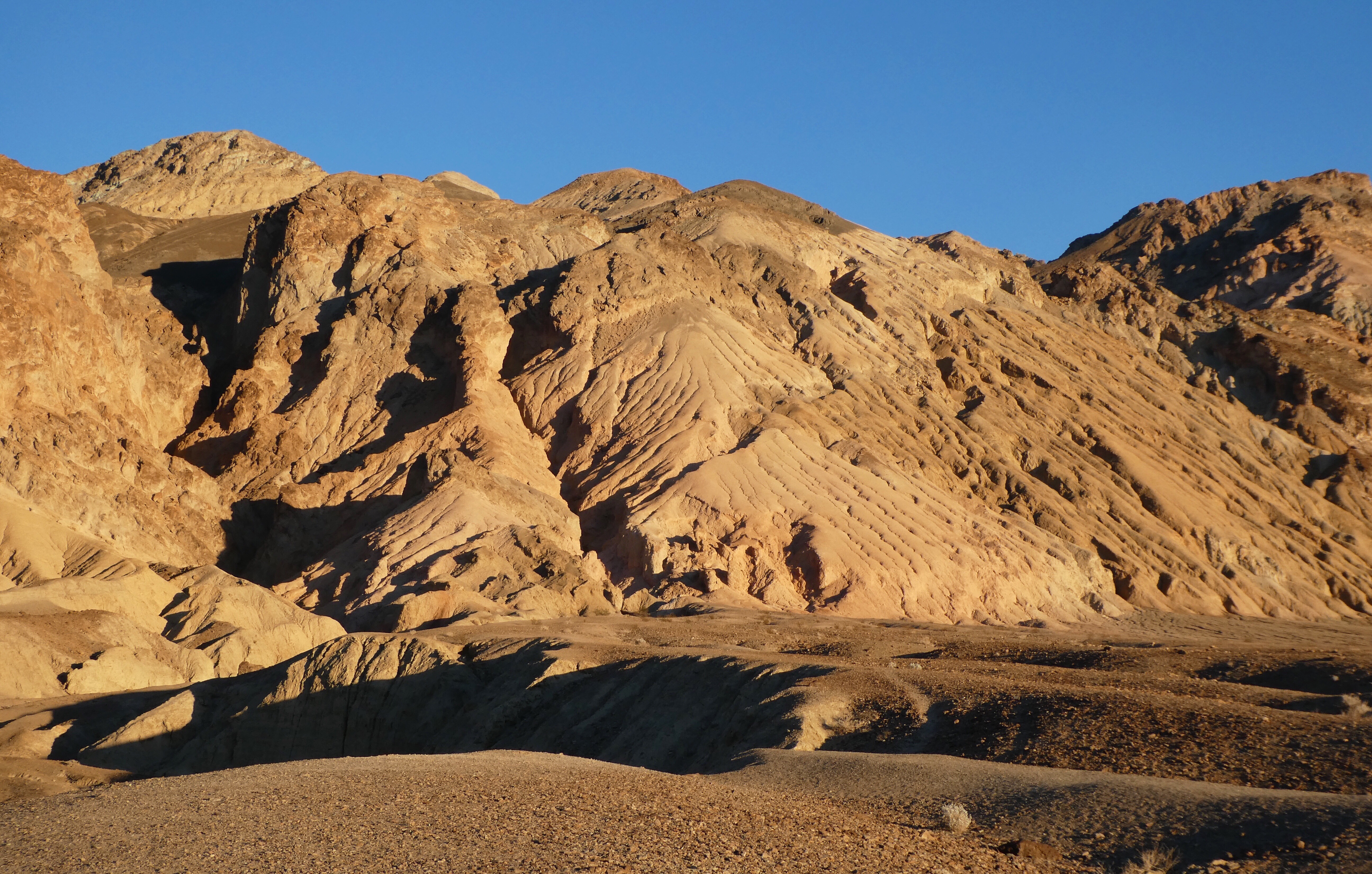
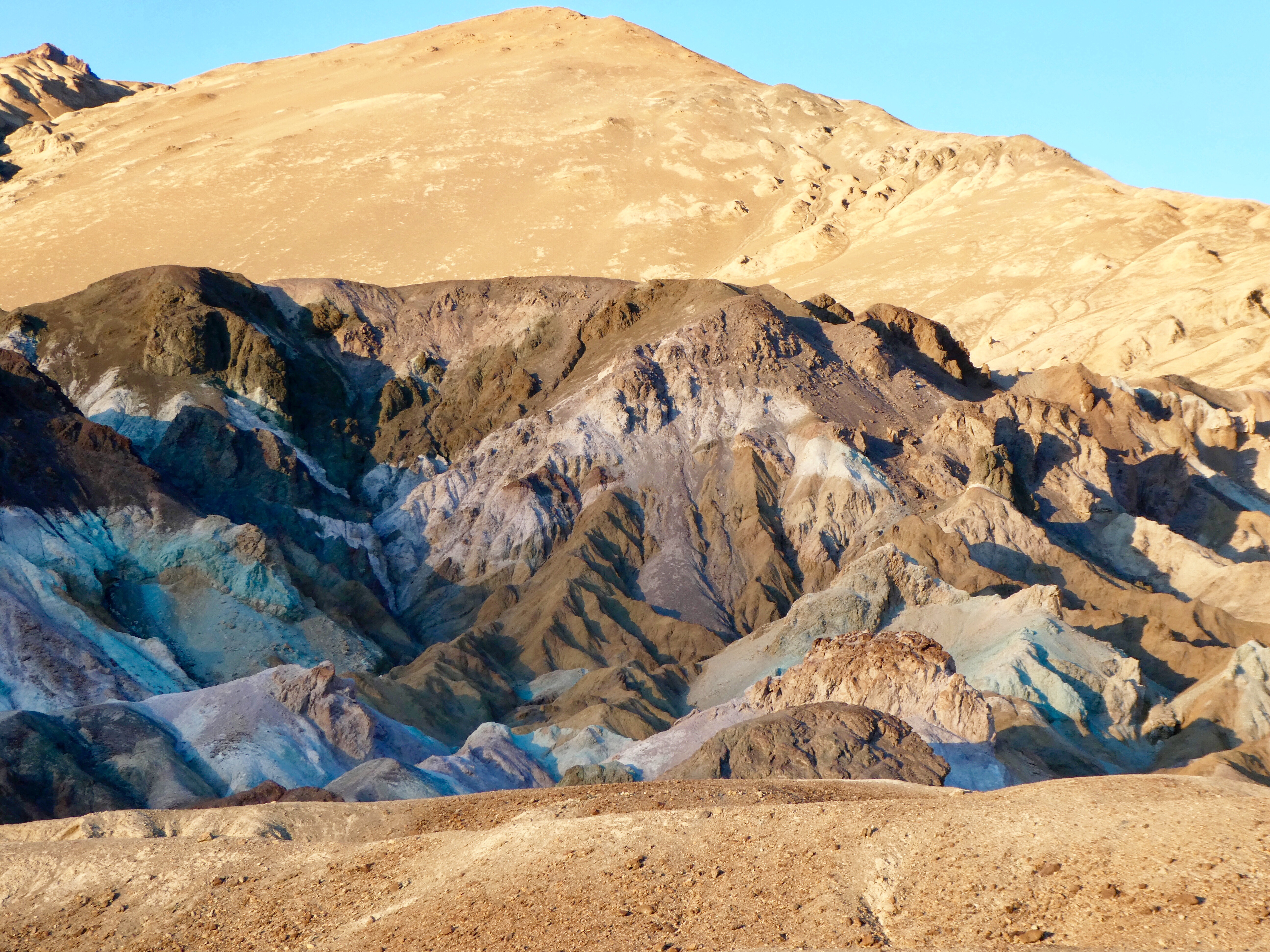
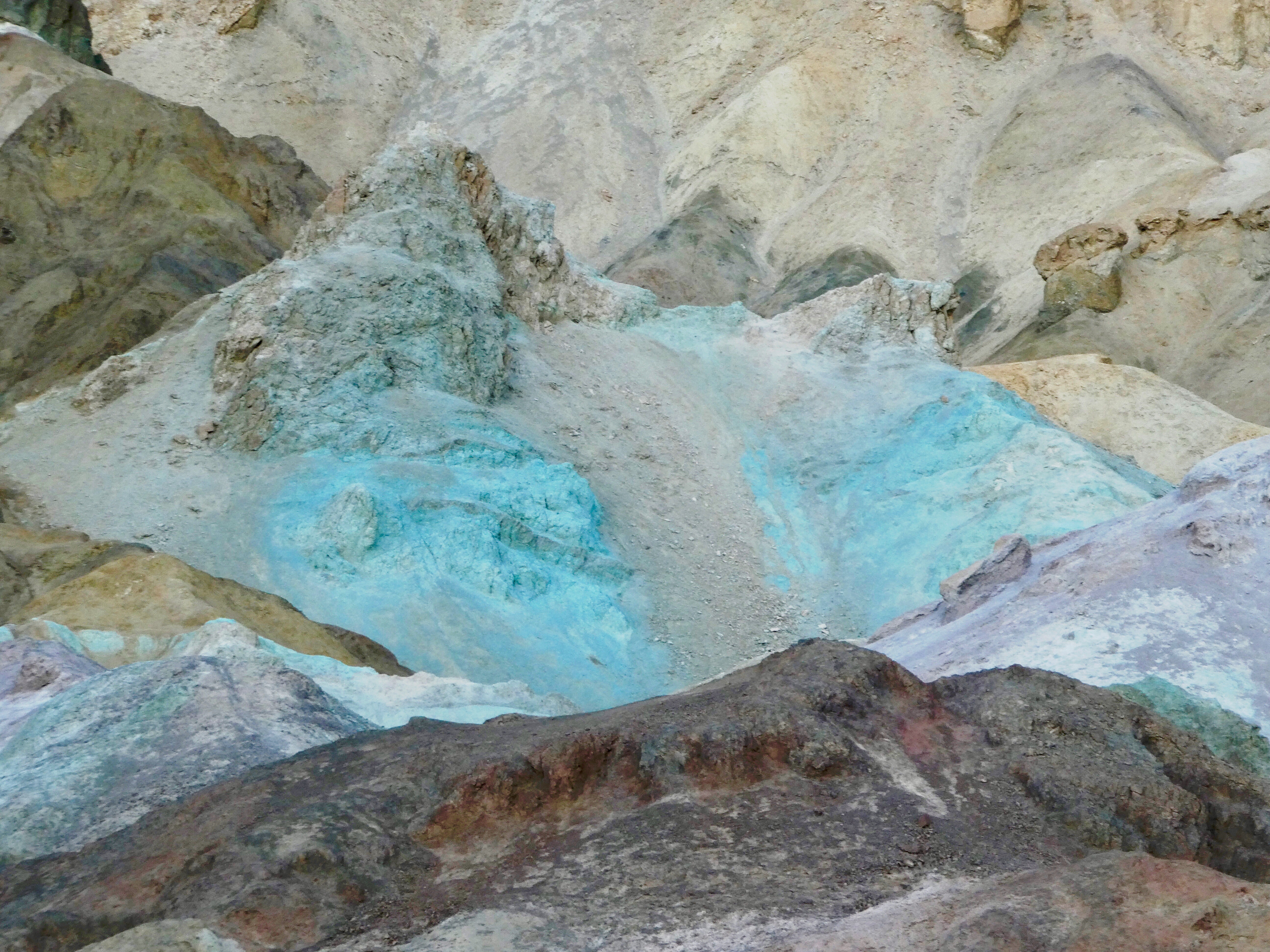
“Denali is six million acres of wild land, bisected by one ribbon of road. Travelers along it see the relatively low-elevation taiga forest give way to high alpine tundra and snowy mountains, culminating in North America’s tallest peak, 20,310′ Denali. Wild animals large and small roam unfenced lands, living as they have for ages. Solitude, tranquility and wilderness await”

View of Denali

Creation of Denali National Park and Preserve

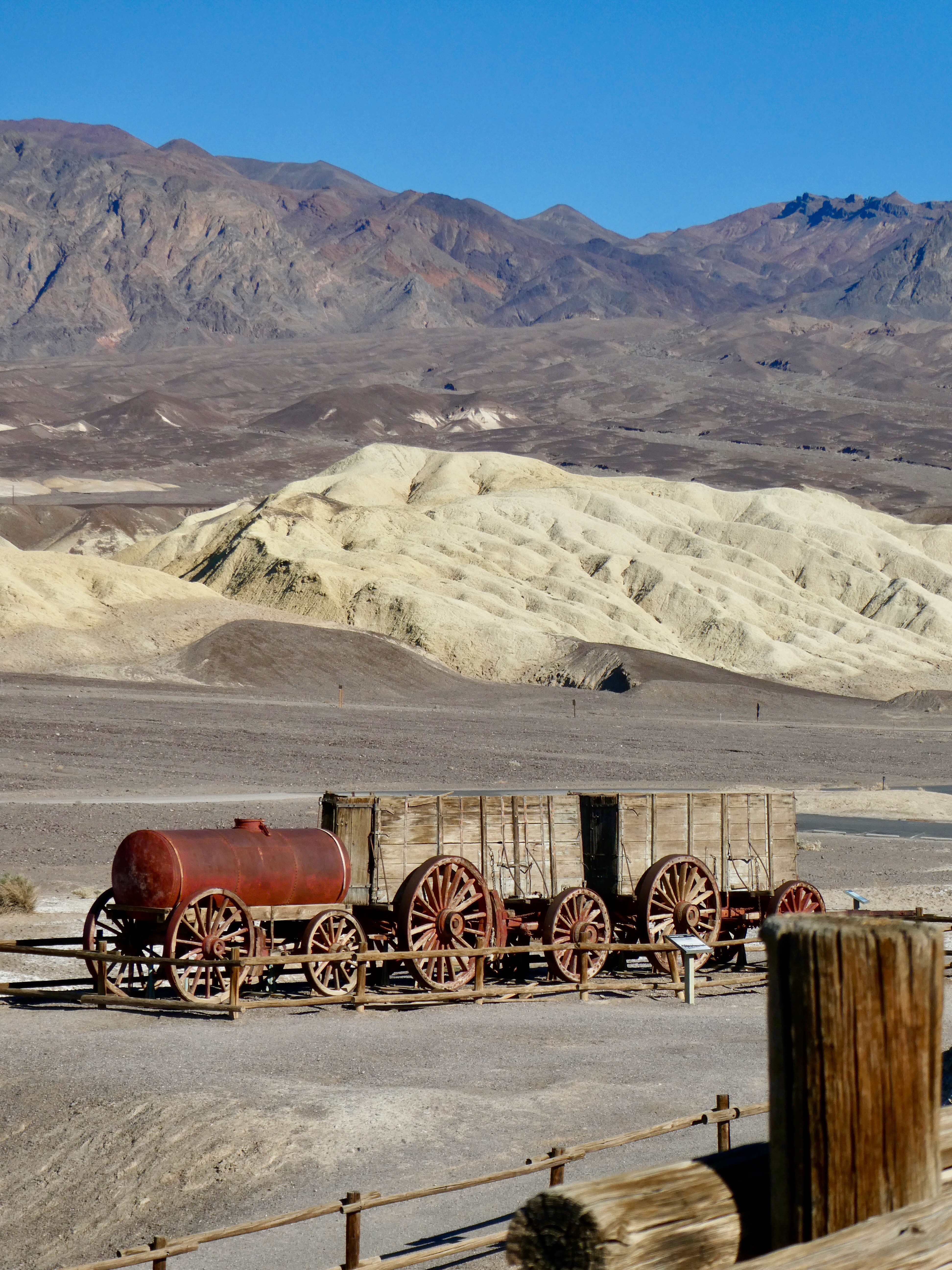
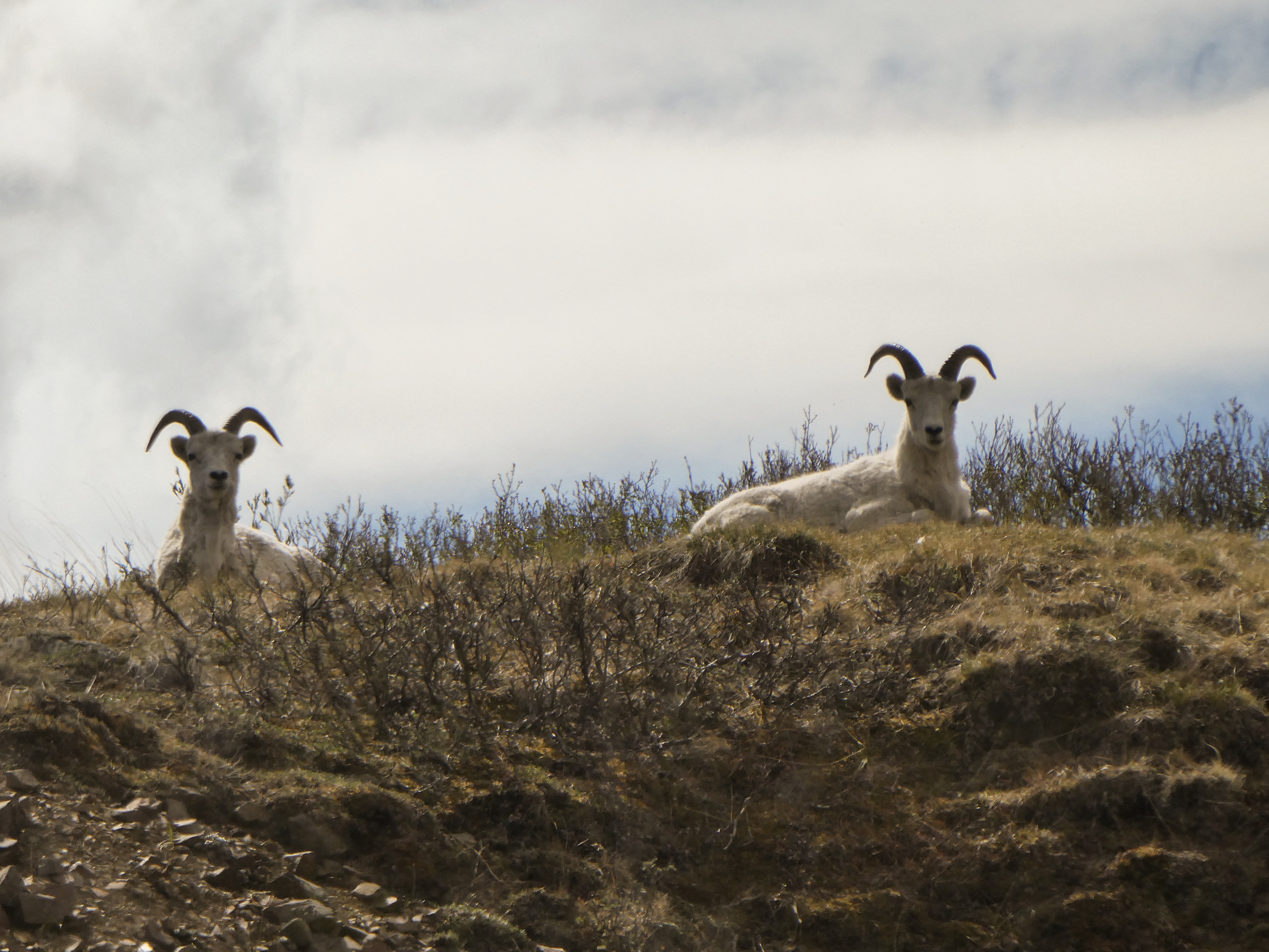
“Charles Sheldon was a hunter and naturalist attracted to Denali specifically by Dall sheep. He had traveled the world hunting sheep and was drawn here by the world’s only wild, white mountain sheep.In the winter of 1907-8, Sheldon observed over 2000 Dall sheep taken from the Denali area by commercial meat hunters who sold the carcasses to Alaska railroad workers and gold miners in Kantishna.

These two occurrences brought the first significant numbers of white men to Interior Alaska. Sheldon was astute enough to realize the hunting of wildlife and the fragile ecosystem would vanish under these kinds of pressures.Sheldon returned to Washington, D. C. and with the help of the Boone and Crockett Club, lobbied Congress to establish Mount McKinley National Park to protect the wildlife within. On February 26, 1917, President Wilson signed into law the bill establishing Mount McKinley National Park as a 2 million acre wildlife preserve.

Considering that at the time most people’s impression of Alaska was “Seward’s Folly, and the fact we did not reach statehood until 1959, it was a courageous act to protect such vast lands in what was then considered by many to be a remote and frozen wasteland.“

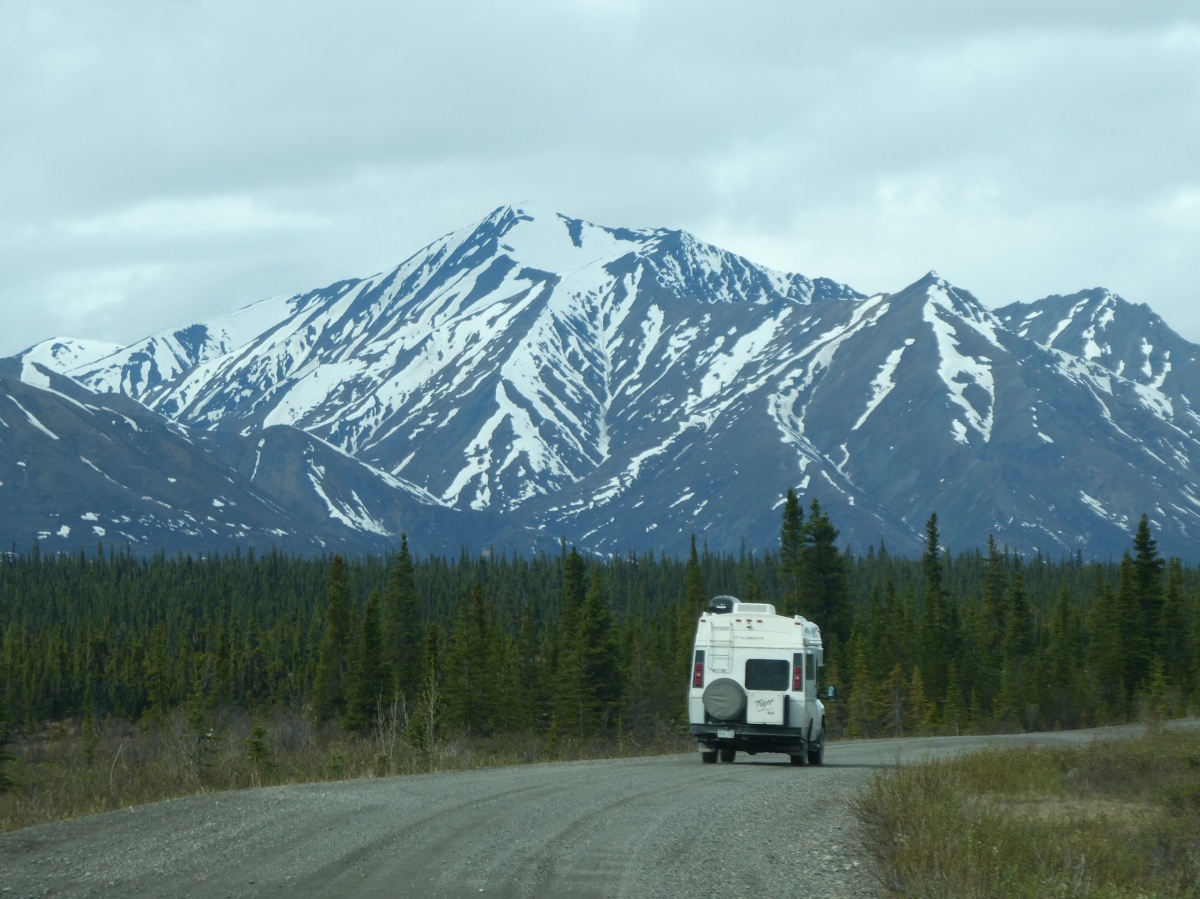
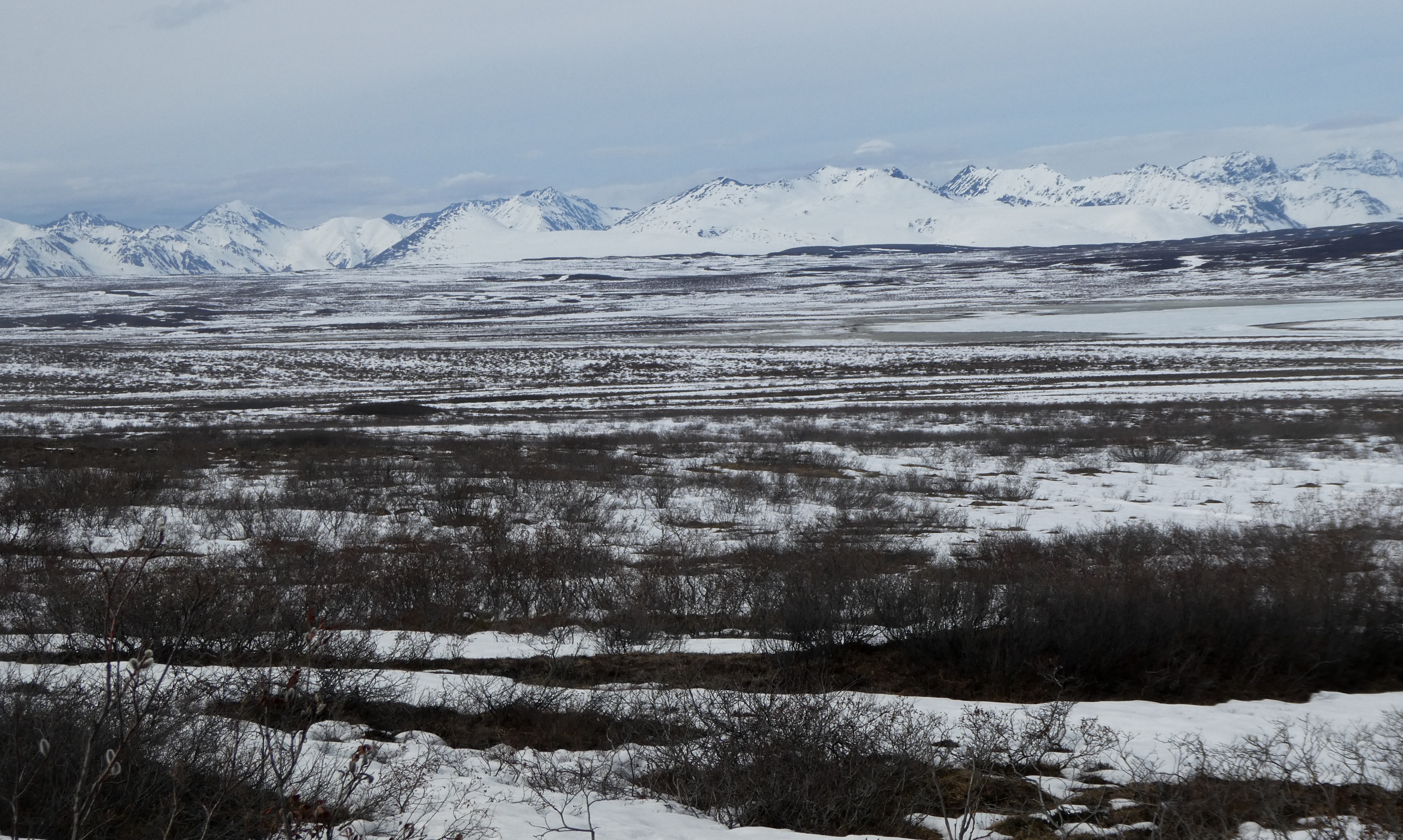
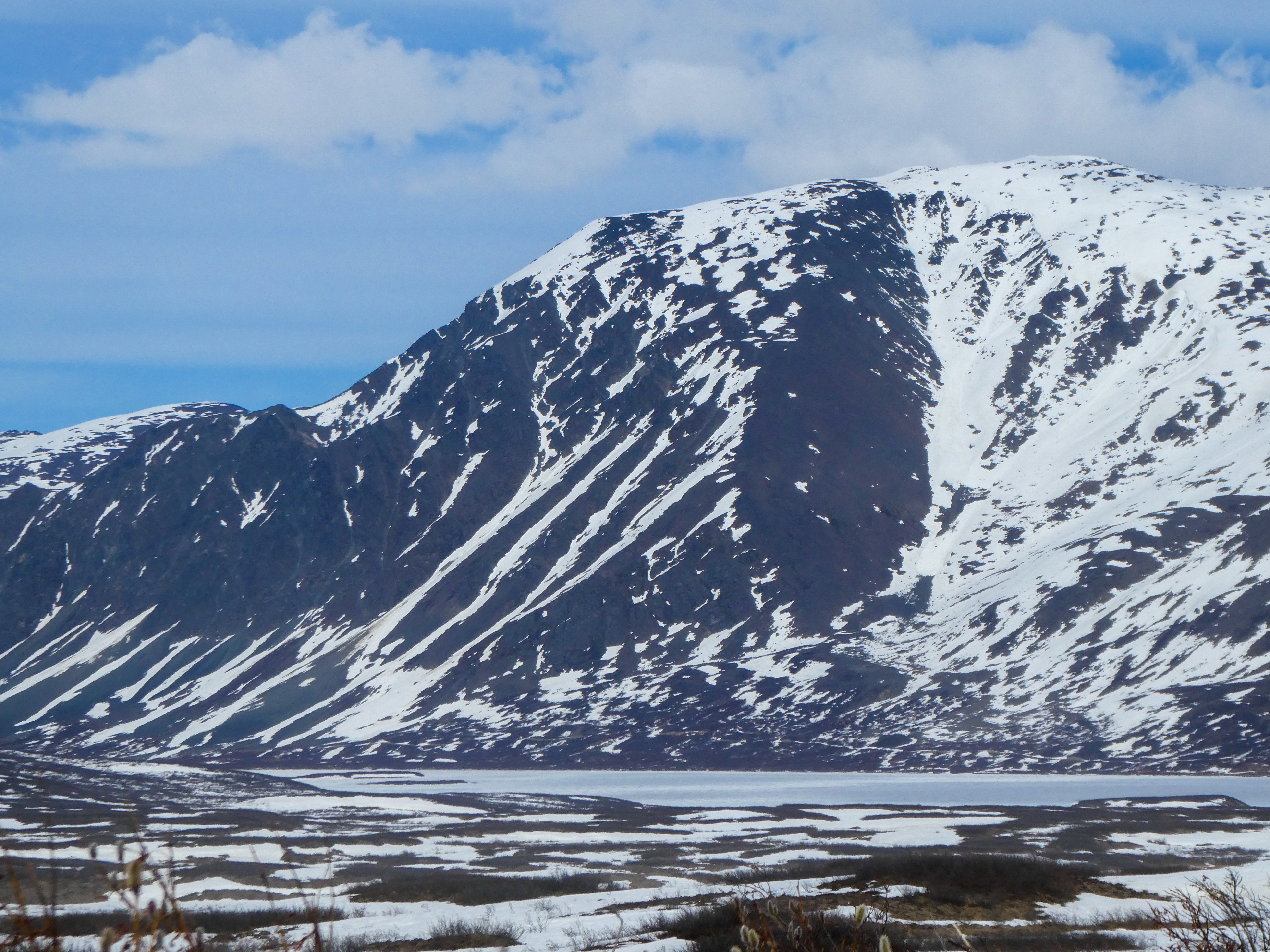
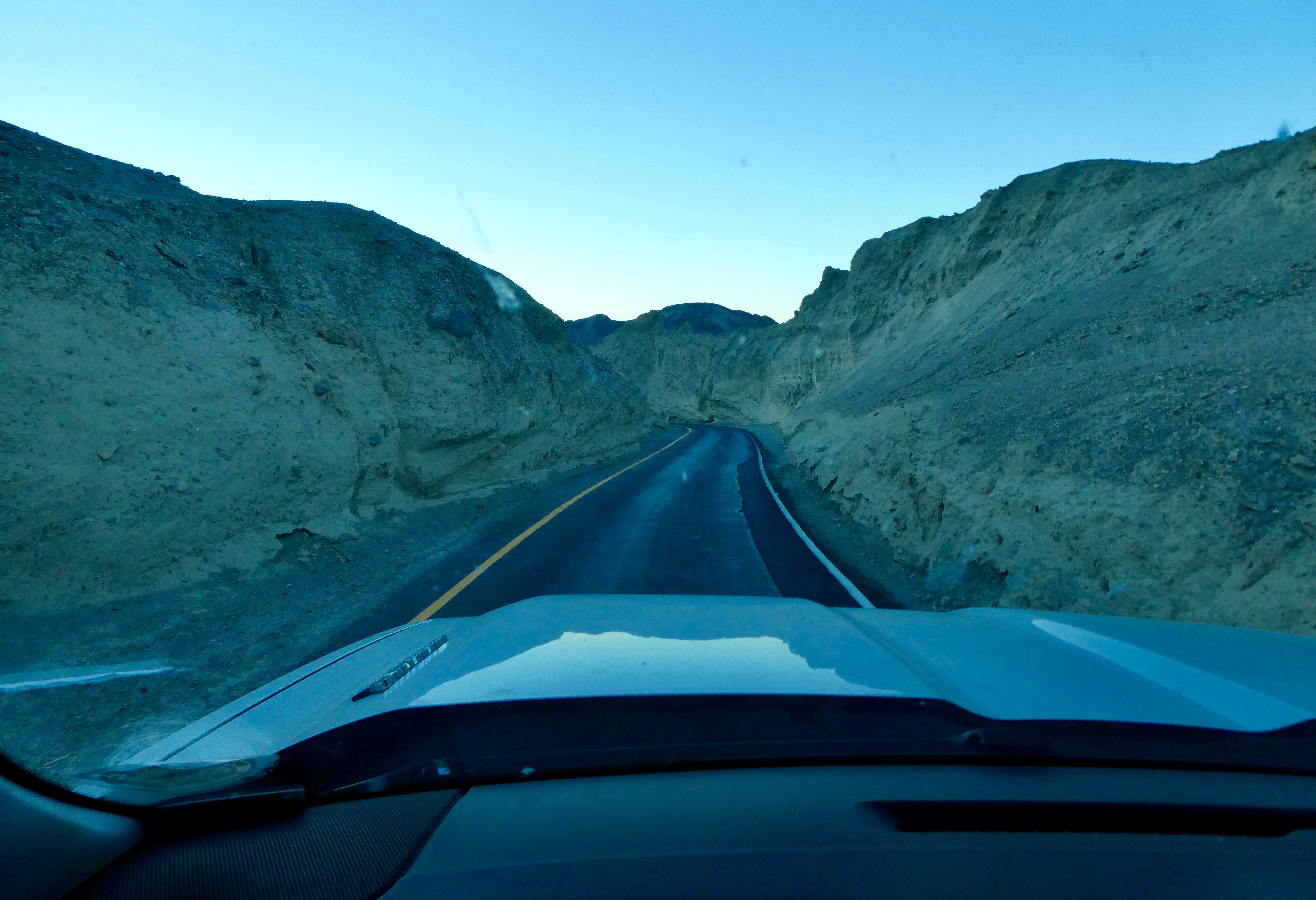
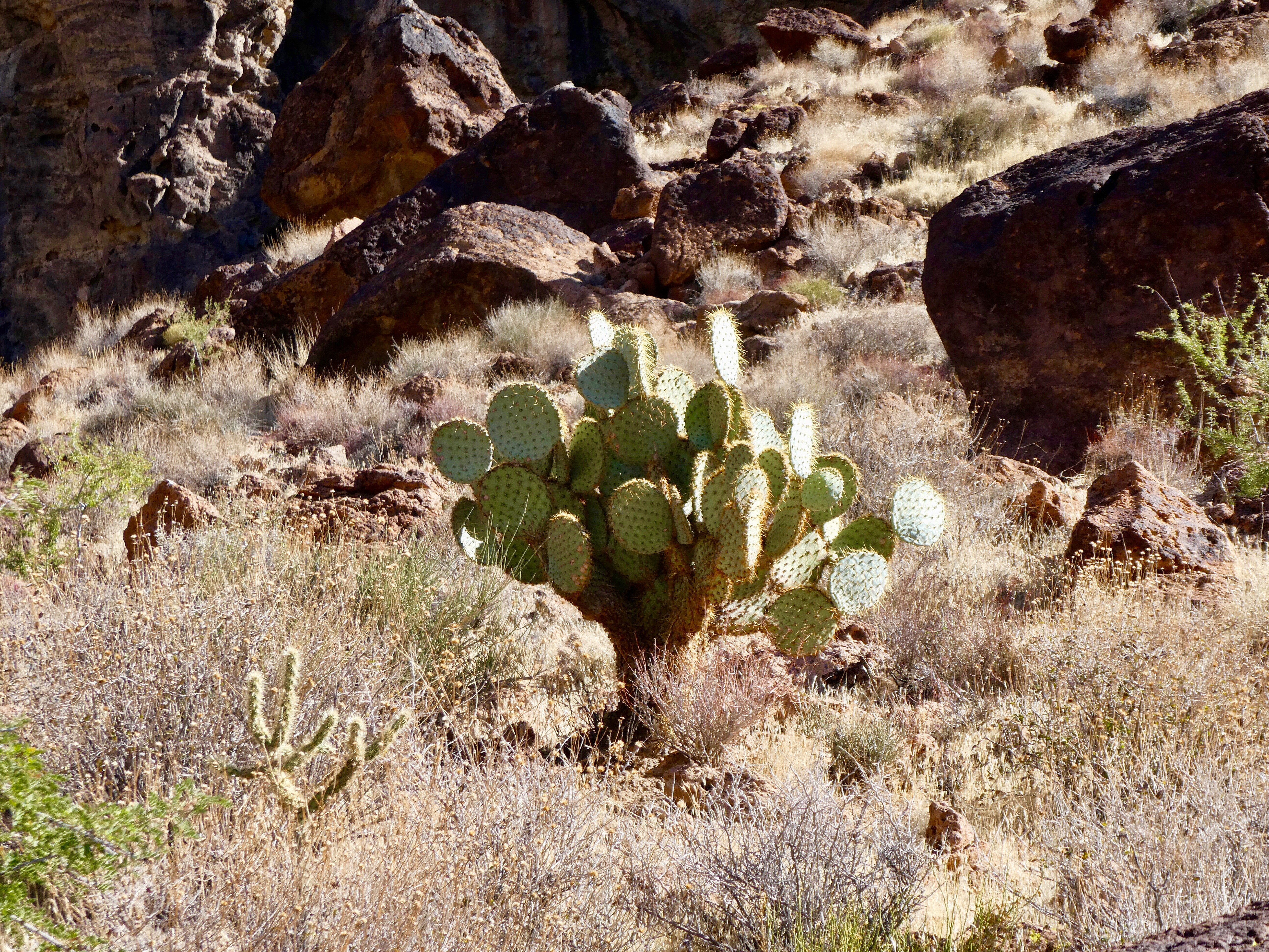
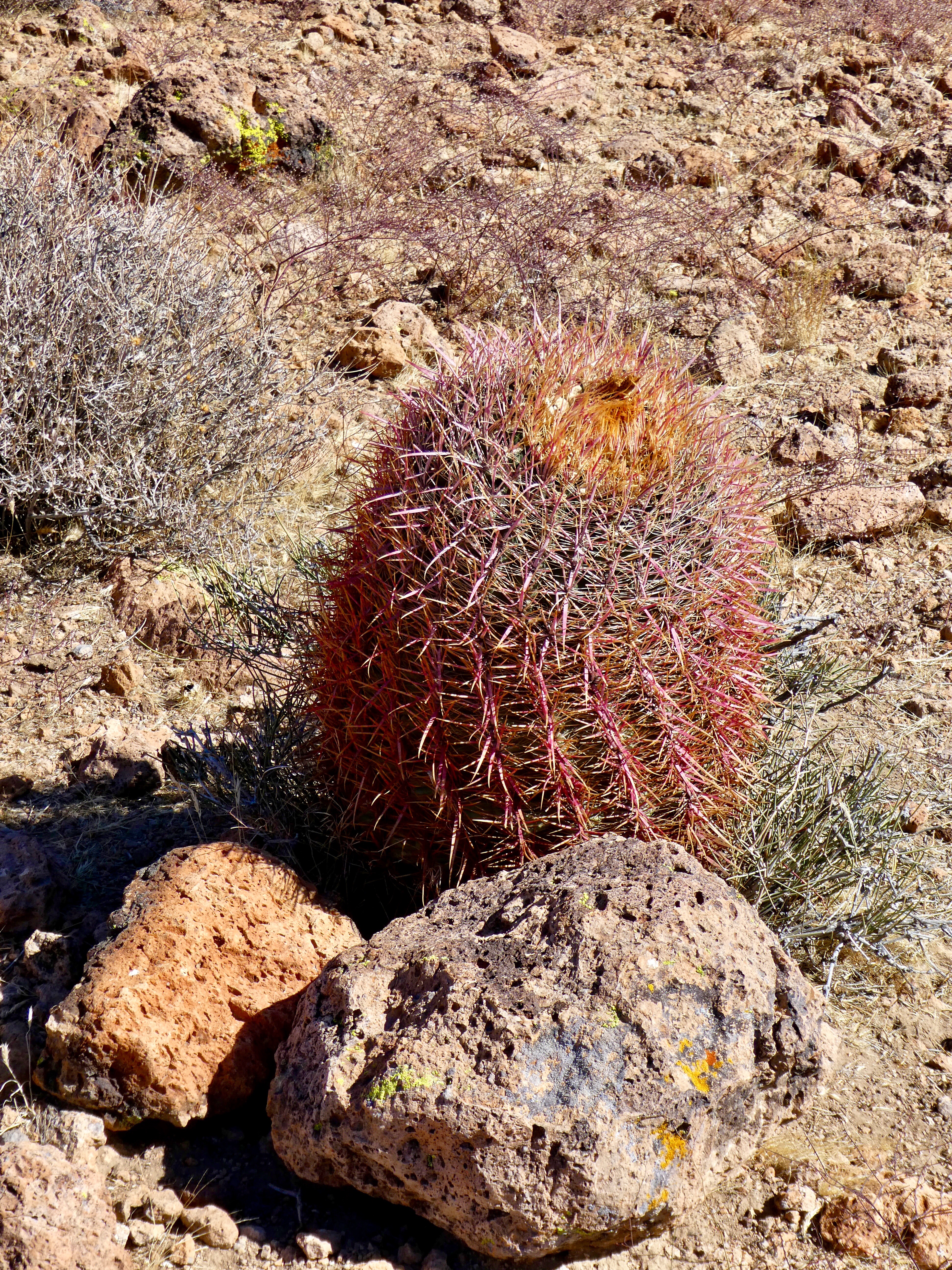
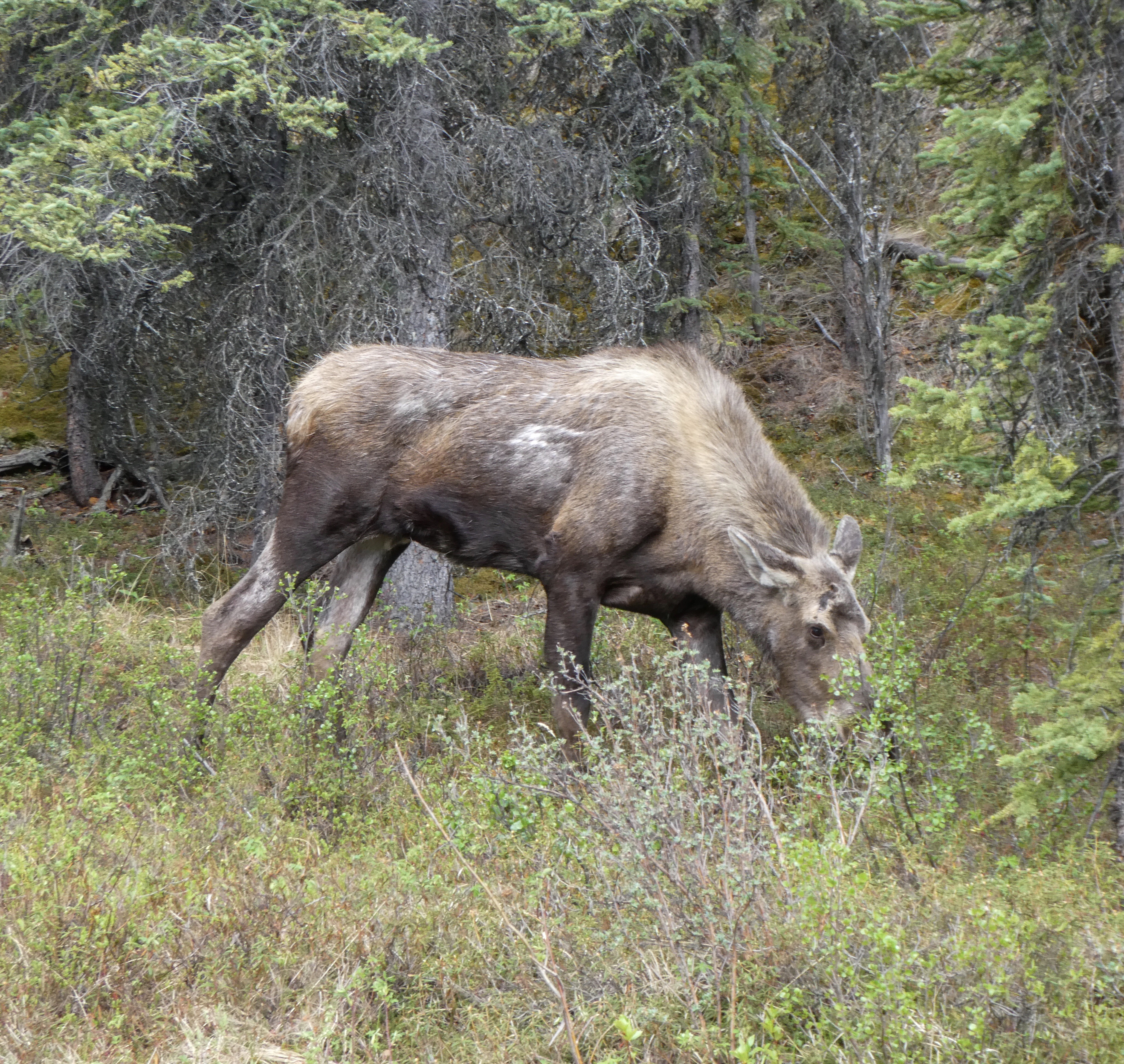
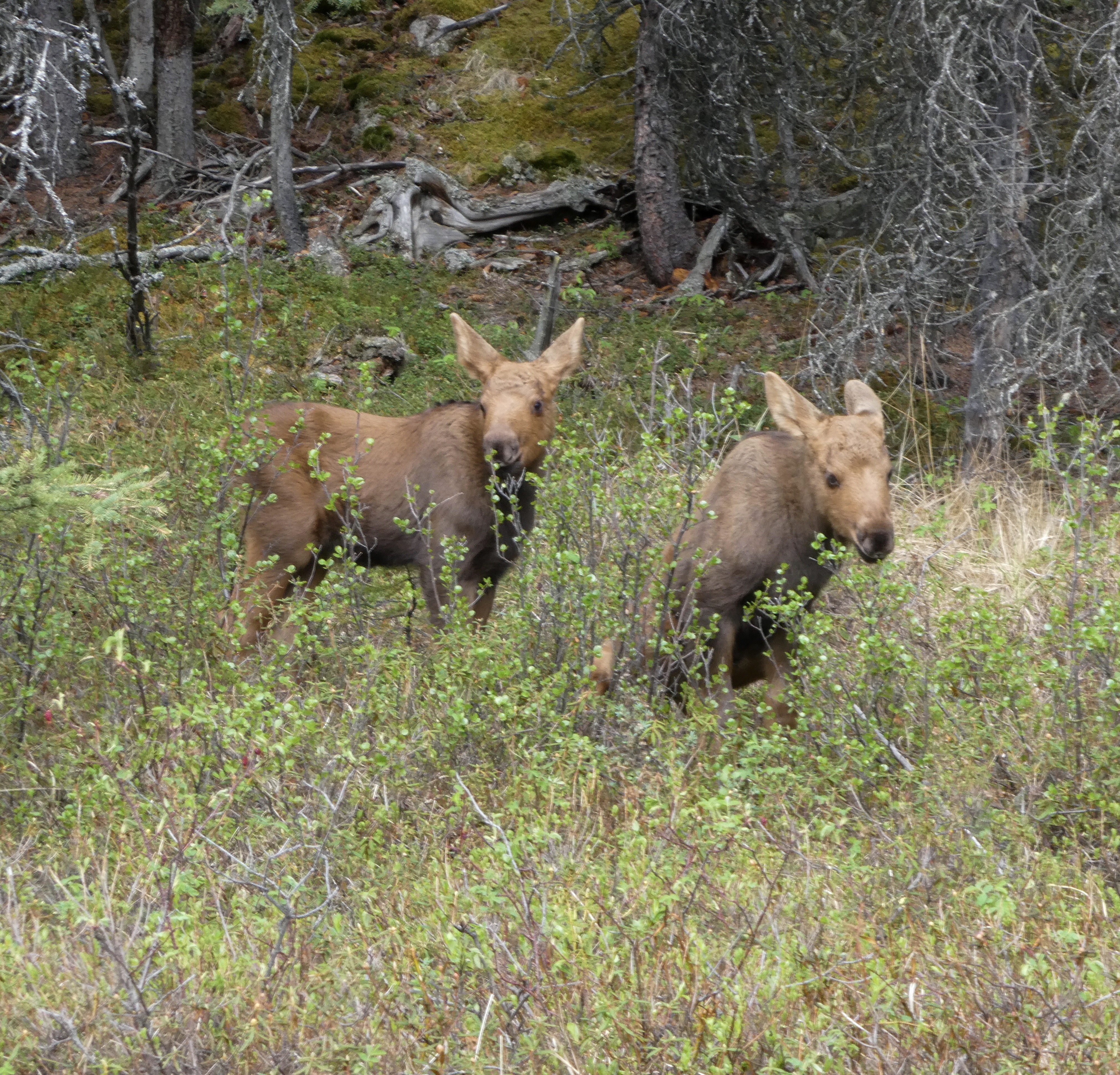
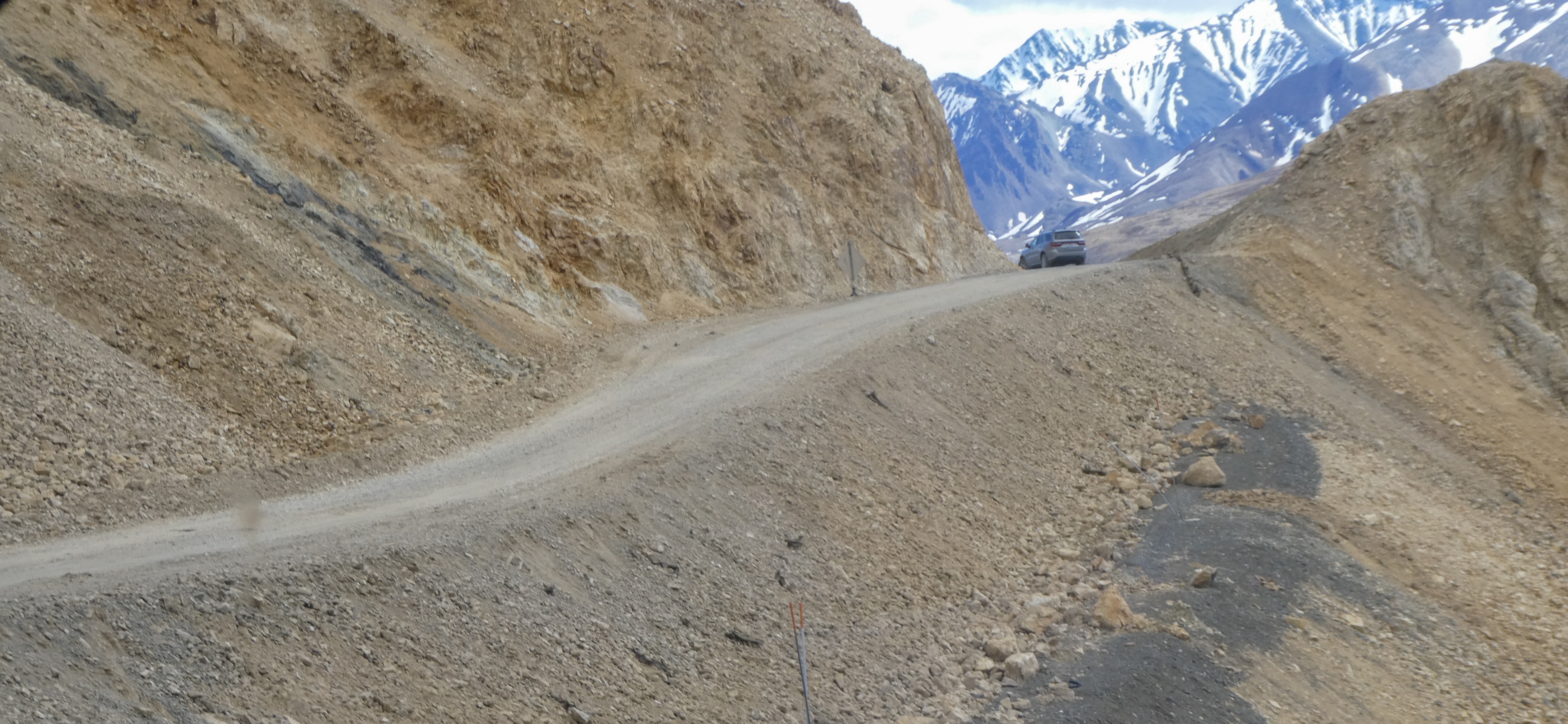
We entered Denali National Park after a long, beautiful trek on the unnpaved Denali Highway. Immediately, we saw a mom moose and her two twin calves next to the road.

Mom Moose, the most dangerous animal in Alaska (or Colorado )
Cute moose calves two weeks old, like stuffed toys until mom saw us .

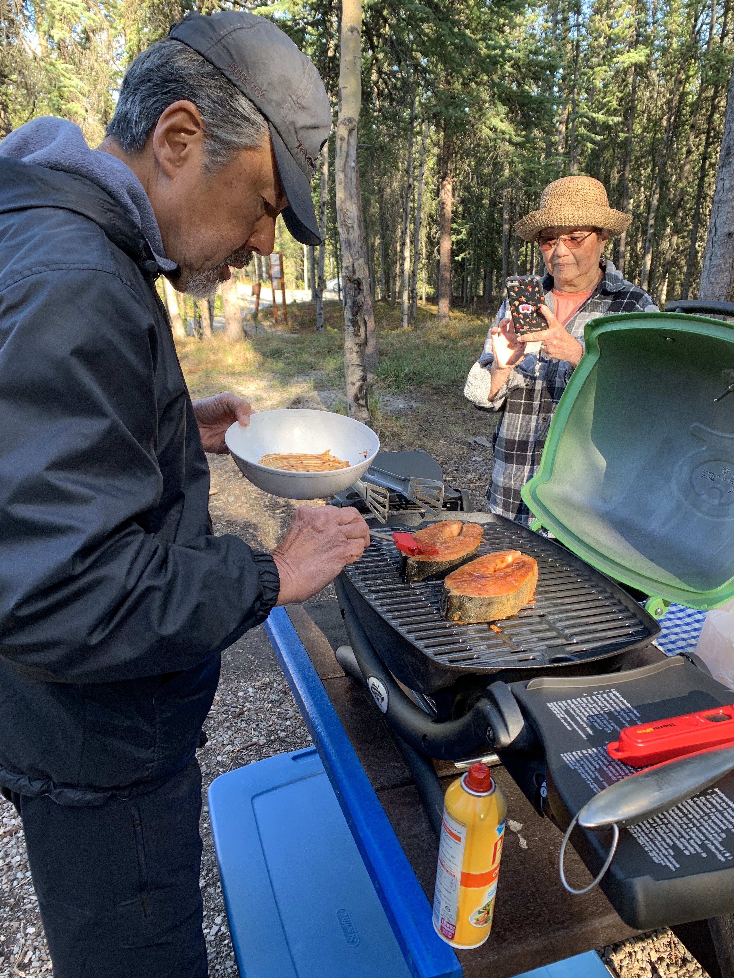
Grilling our King Salmon steaks from the Haines Canning Company. Best Salmon we have ever had.

Raymond Grillmaster prepares King Salmon steaks

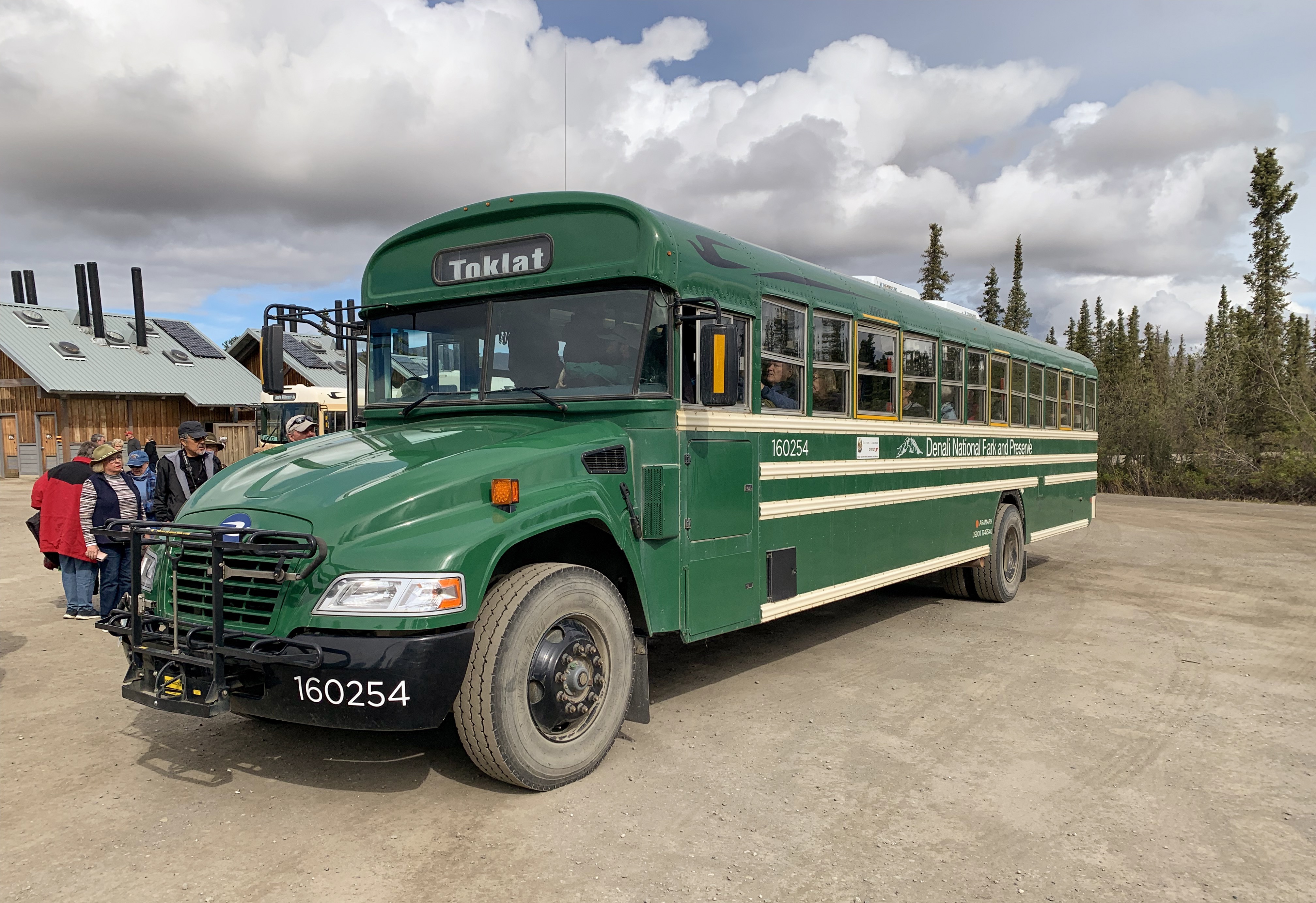
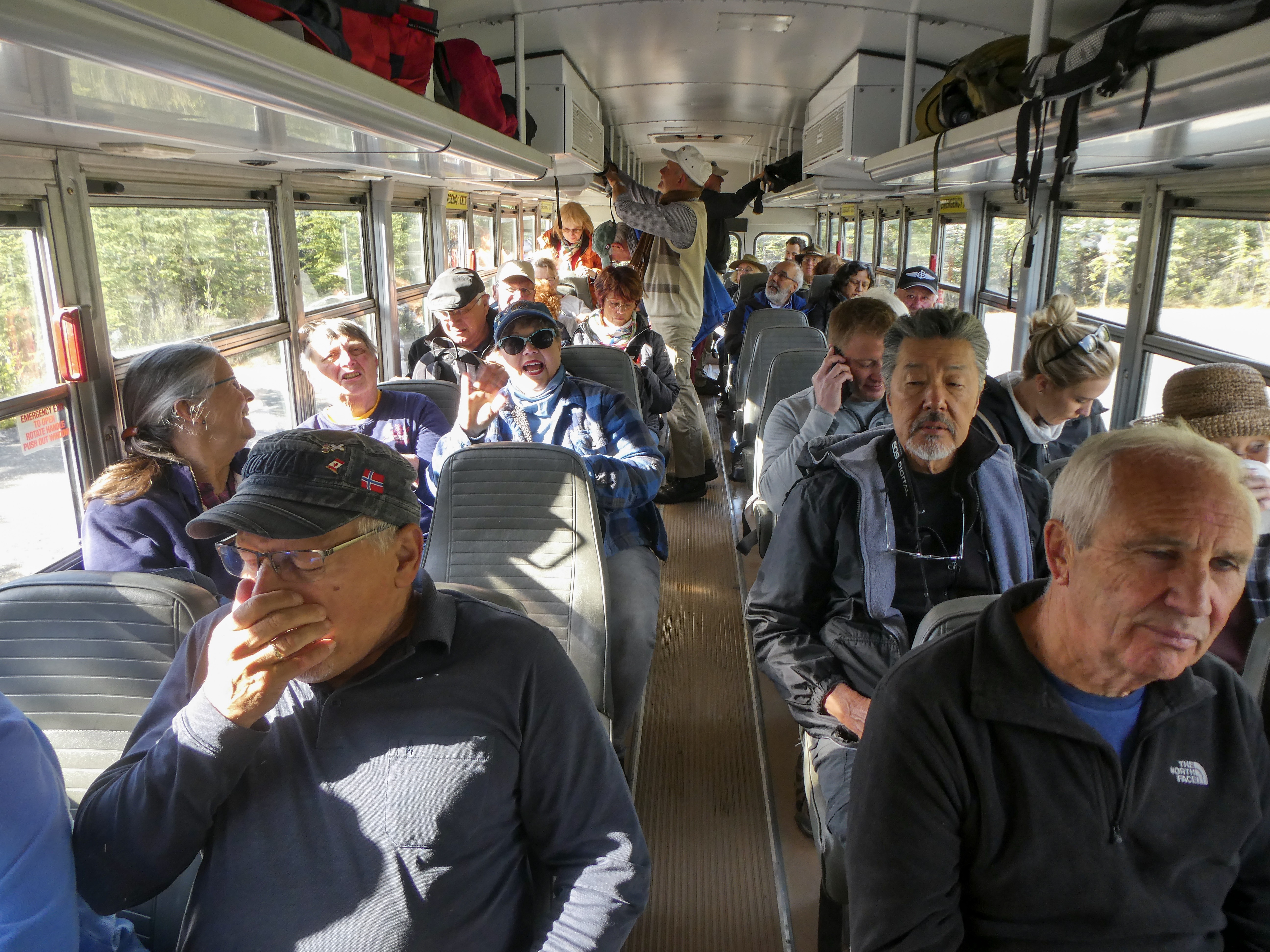
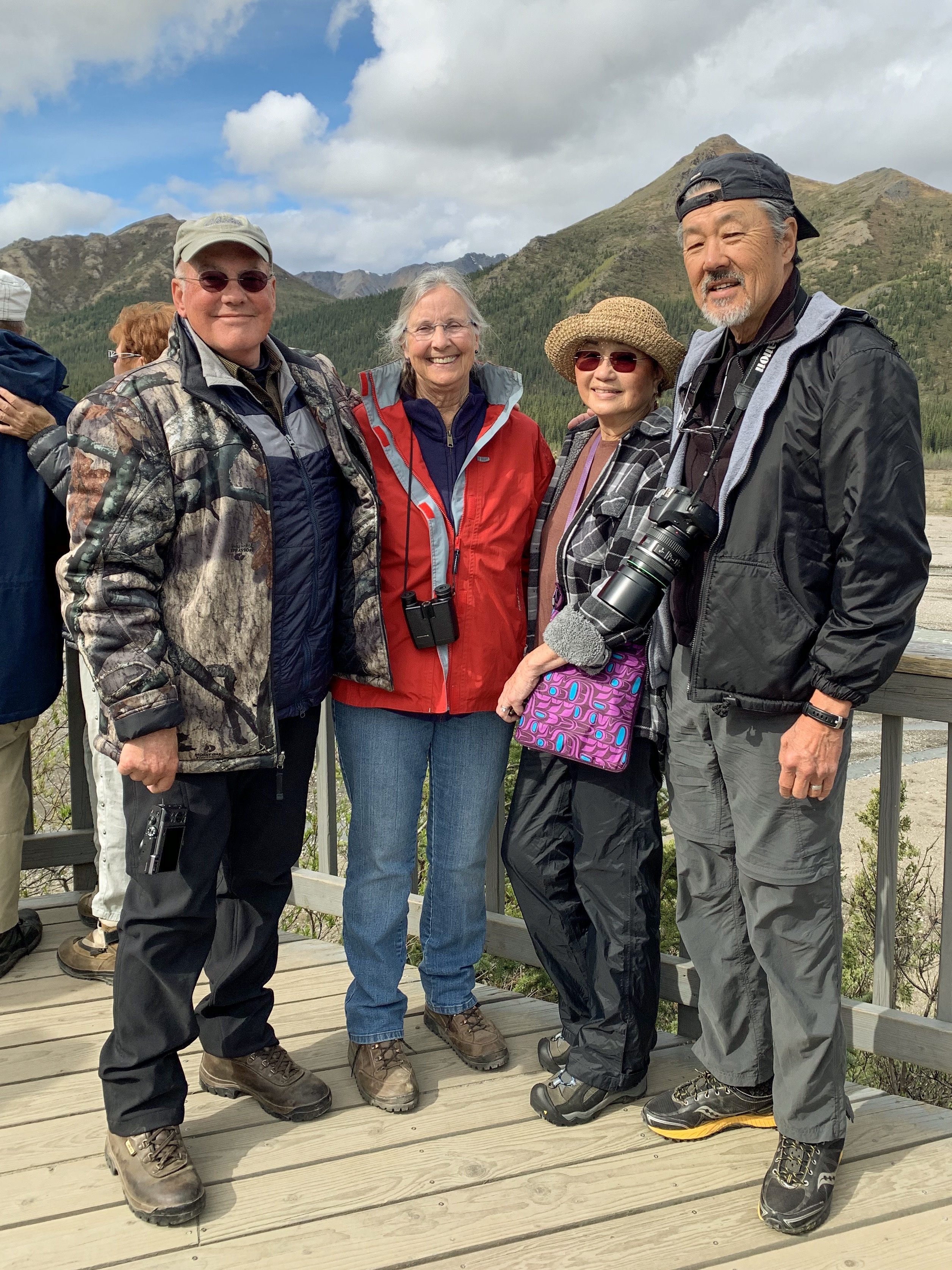
Despite my aversion to tourist busses filled with white (or no hair) retirees, we booked a tour, which is the only way to see the inner areas of the park as personal vehicles are prohibited for much of the park road. It turned out well.

Shuttle bus Lots of stops, On/off where you like and way cheaper than the tan guided busses

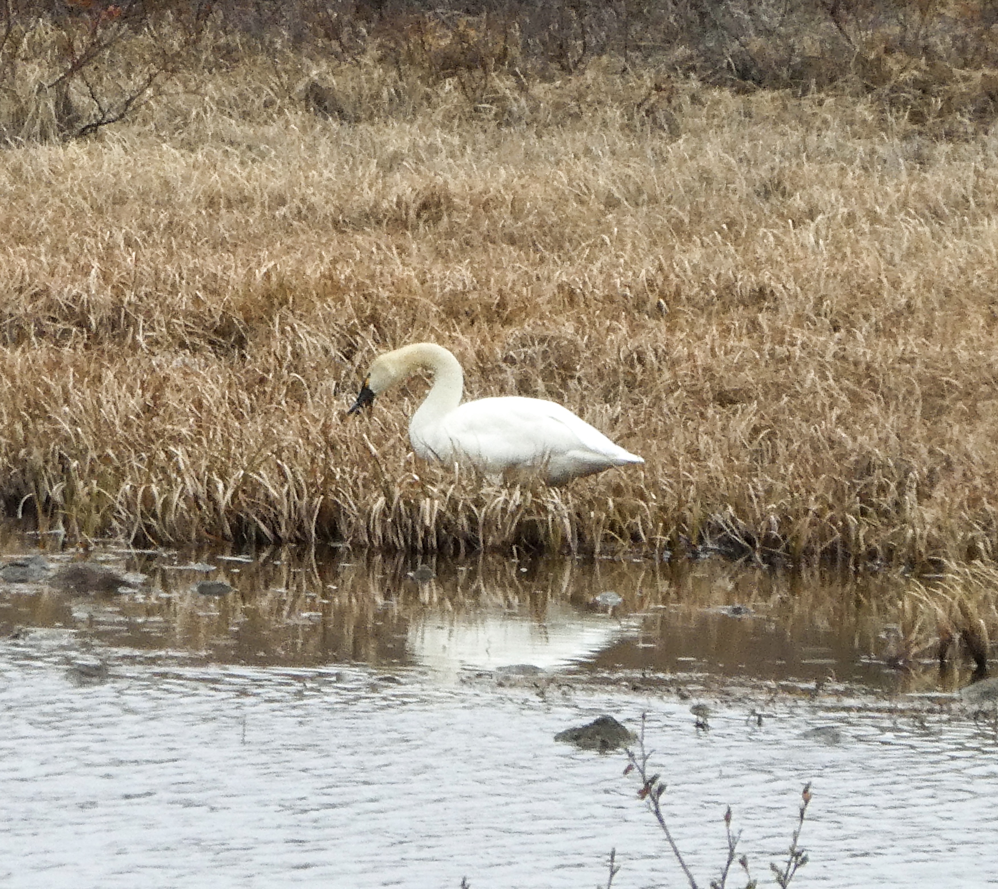
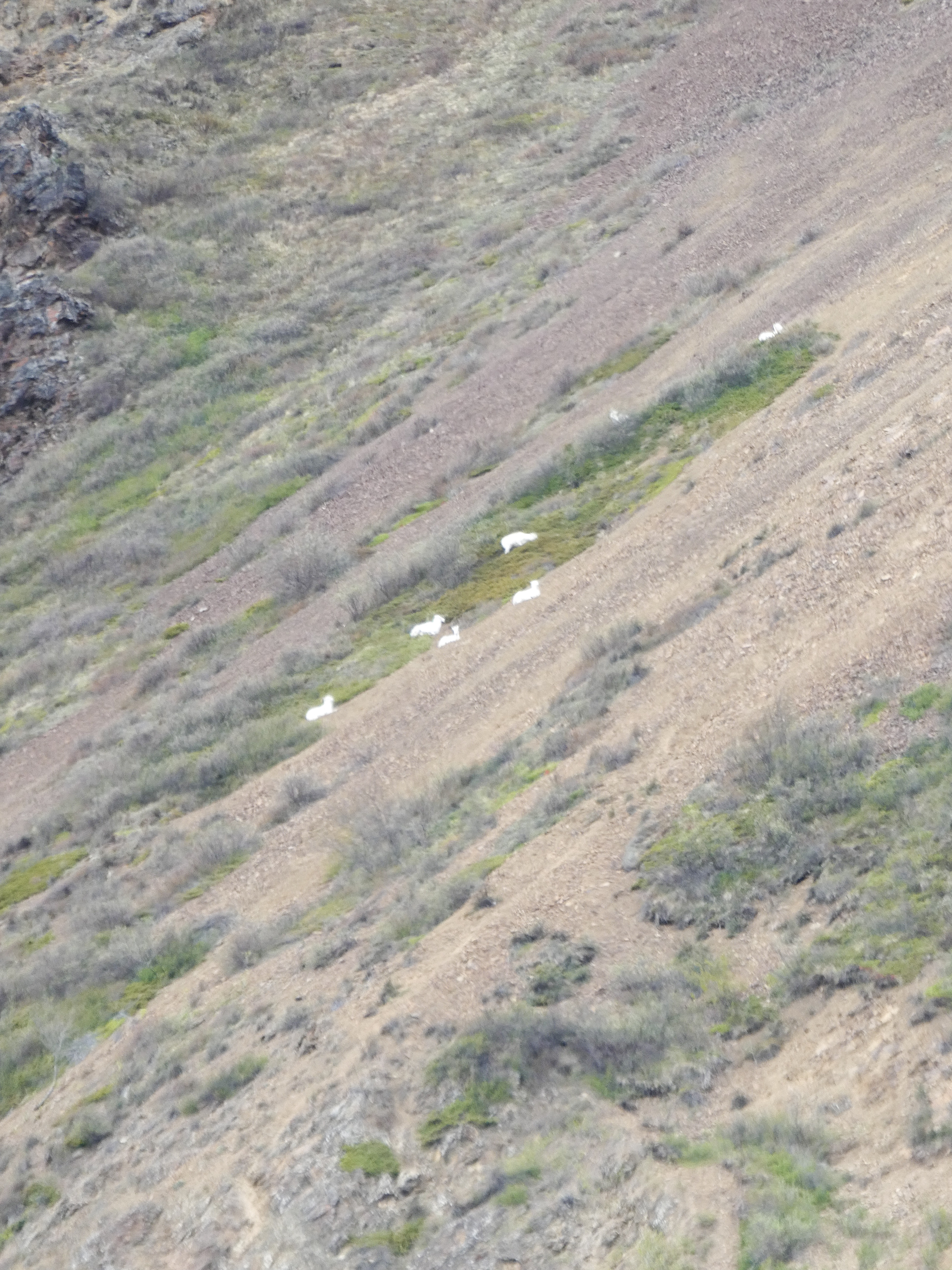
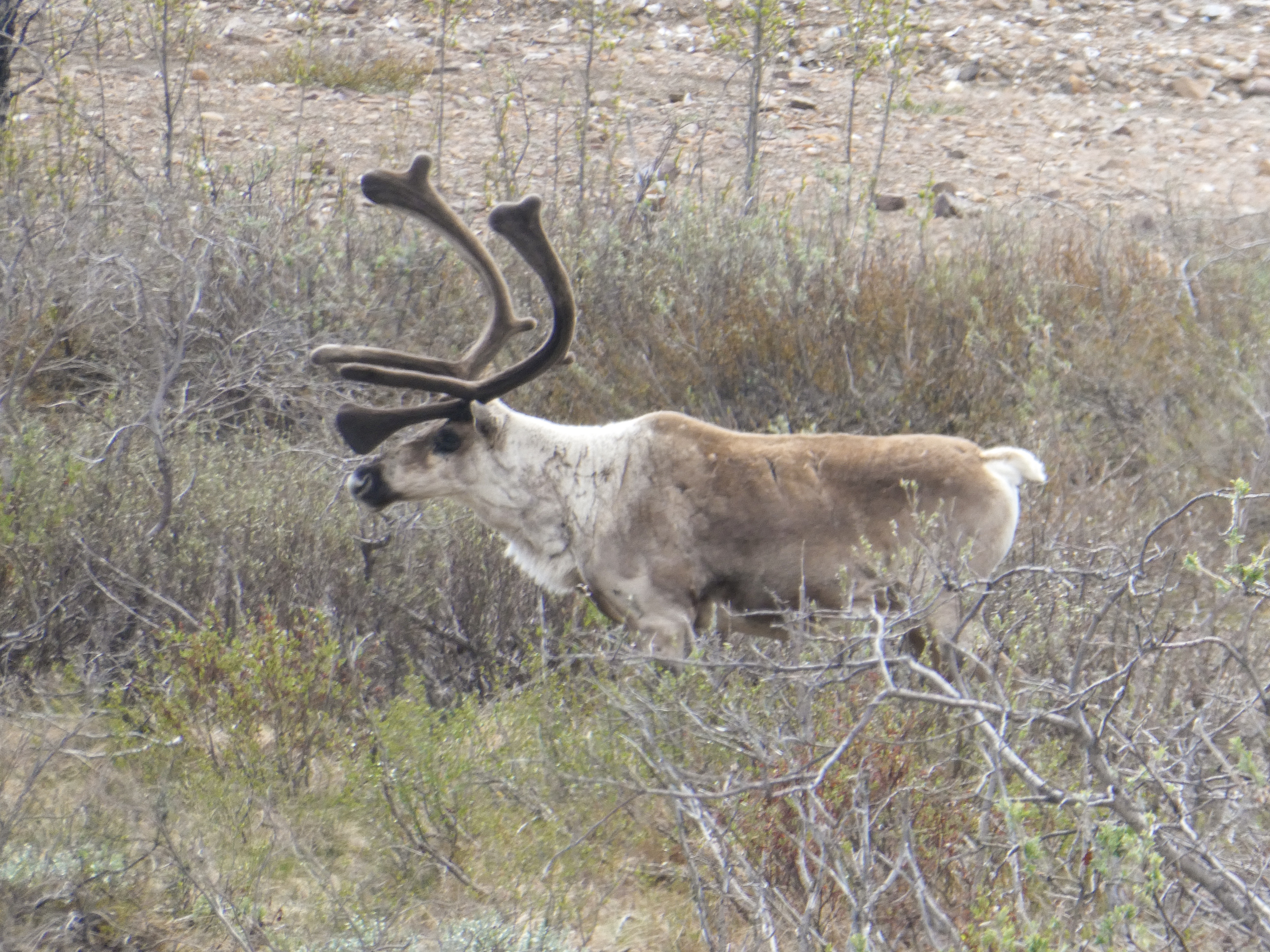
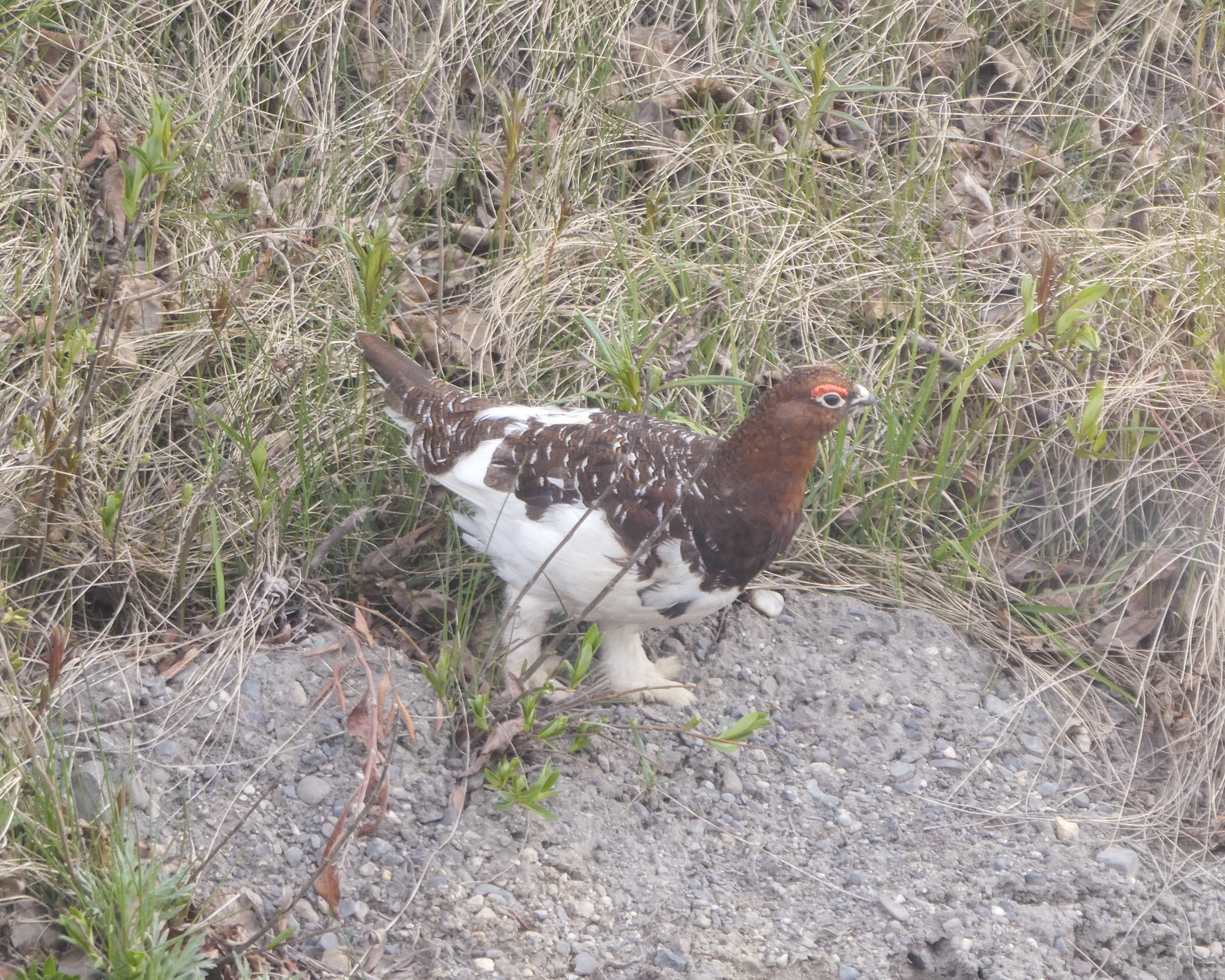
We saw 80 or so Dall Sheep , Ptarmigans, snowshoe hares, a coyote, Arctic Ground Squirrels, many caribou, golden eagles, ravens, and black billed magpies, but regrettably for Shirley, no Grizzly Bears 🐻

A bit crowded and noisy, but ultimately fun!
Ready for adventure
Steep drop offs. Sally and Shirley’s favorite! Especially when two busses pass…,
The white spots are Dall Sheep, nearly wiped out in the early days of the park.
Dall Sheep ewes. We saw 80 or so, Dall Sheep
One of many caribou.
Male Ptarmigan changing from winter to summer attire.

For dinner, we grilled my Wyoming Elk steaks (New York strip cut). Yummy!

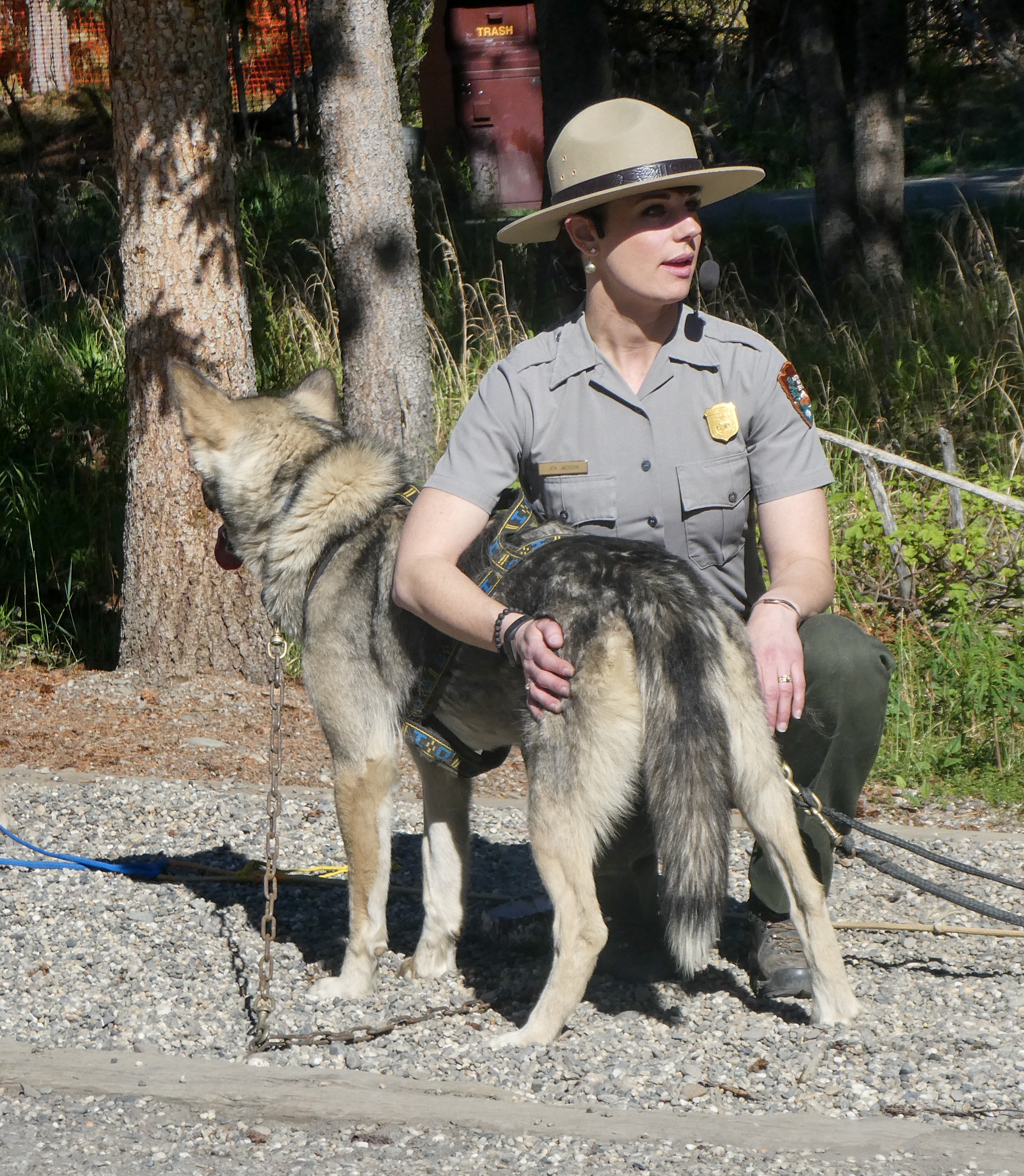
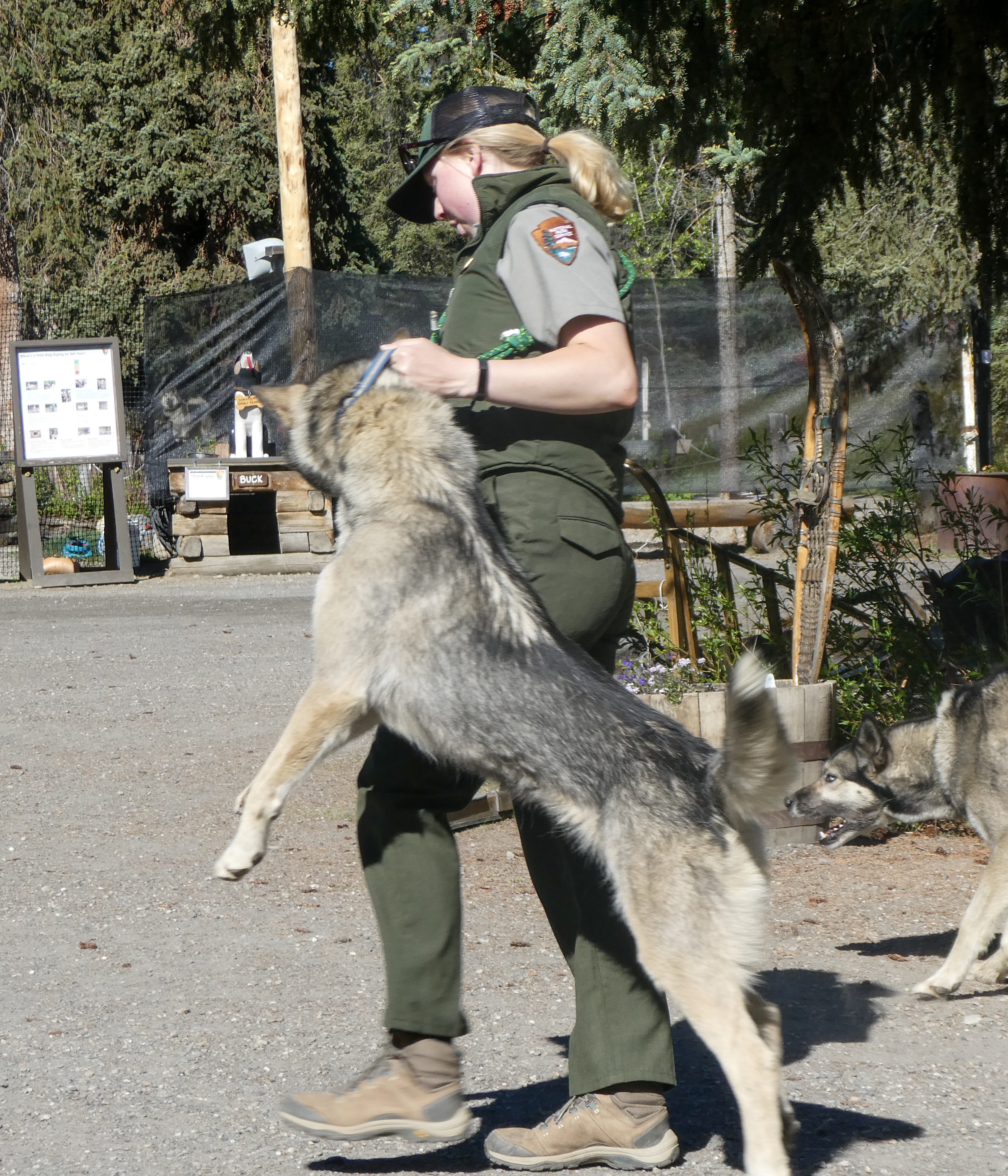
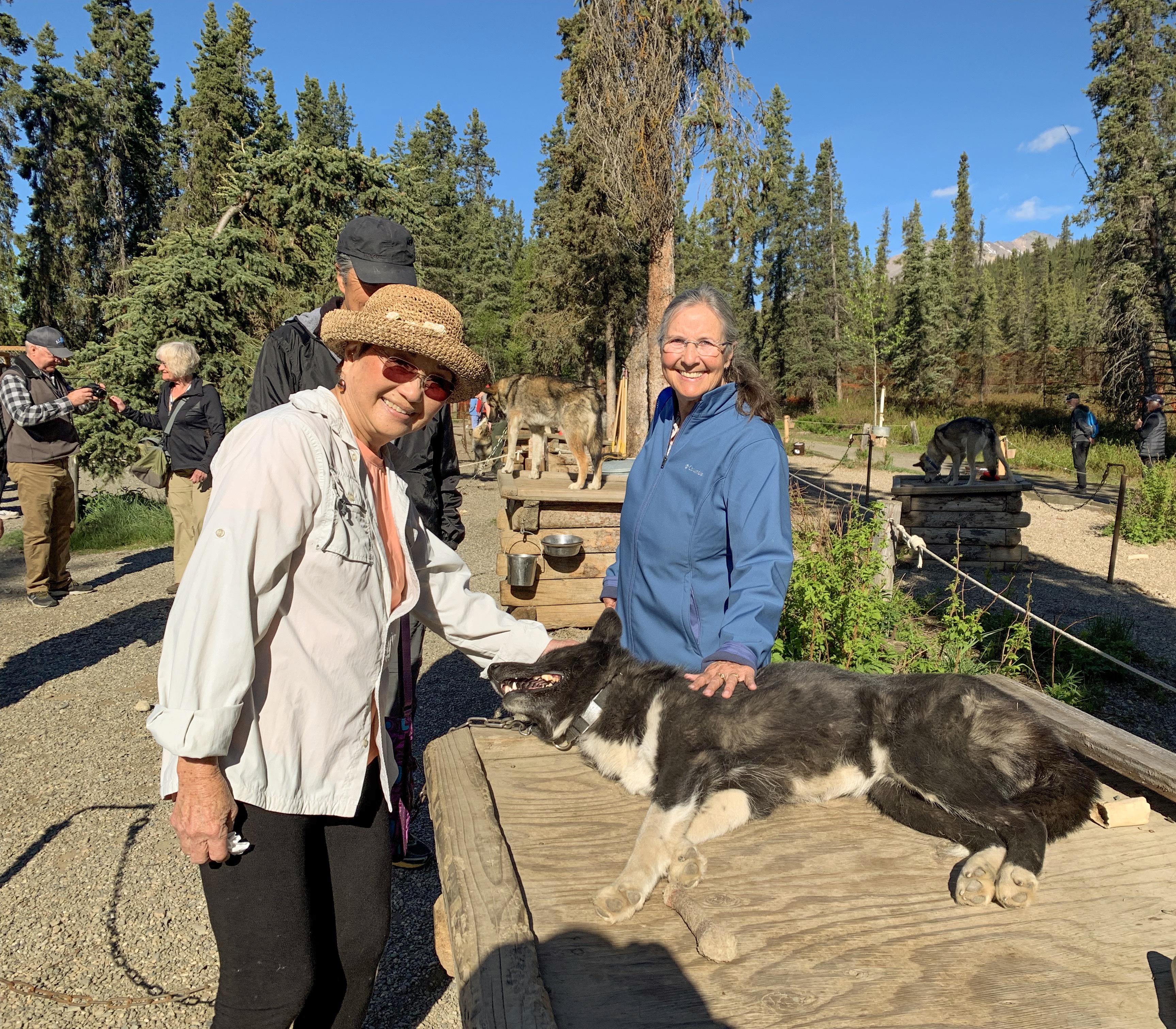
Dogsledding or “Mushing”

A Kennel Ranger “Mushing”

“Why Mush?

In a modern world filled with high tech solutions for everything it can be hard to comprehend why we would still actively choose to use traditional dog team travel rather than any of the modern alternatives. In fact, there are many reasons to choose sled dogs. TraditionDenali has had sled dogs since 1922. Our first Superintendent, Harry Karstens purchased the first seven sled dogs for use patrolling the newly established park boundaries. The park has maintained working dog teams ever since. Their job has evolved over time and they are no longer patrolling for poachers, they are still performing essential and inspiring work in protecting and preserving the unique character of Denali.

Reliability

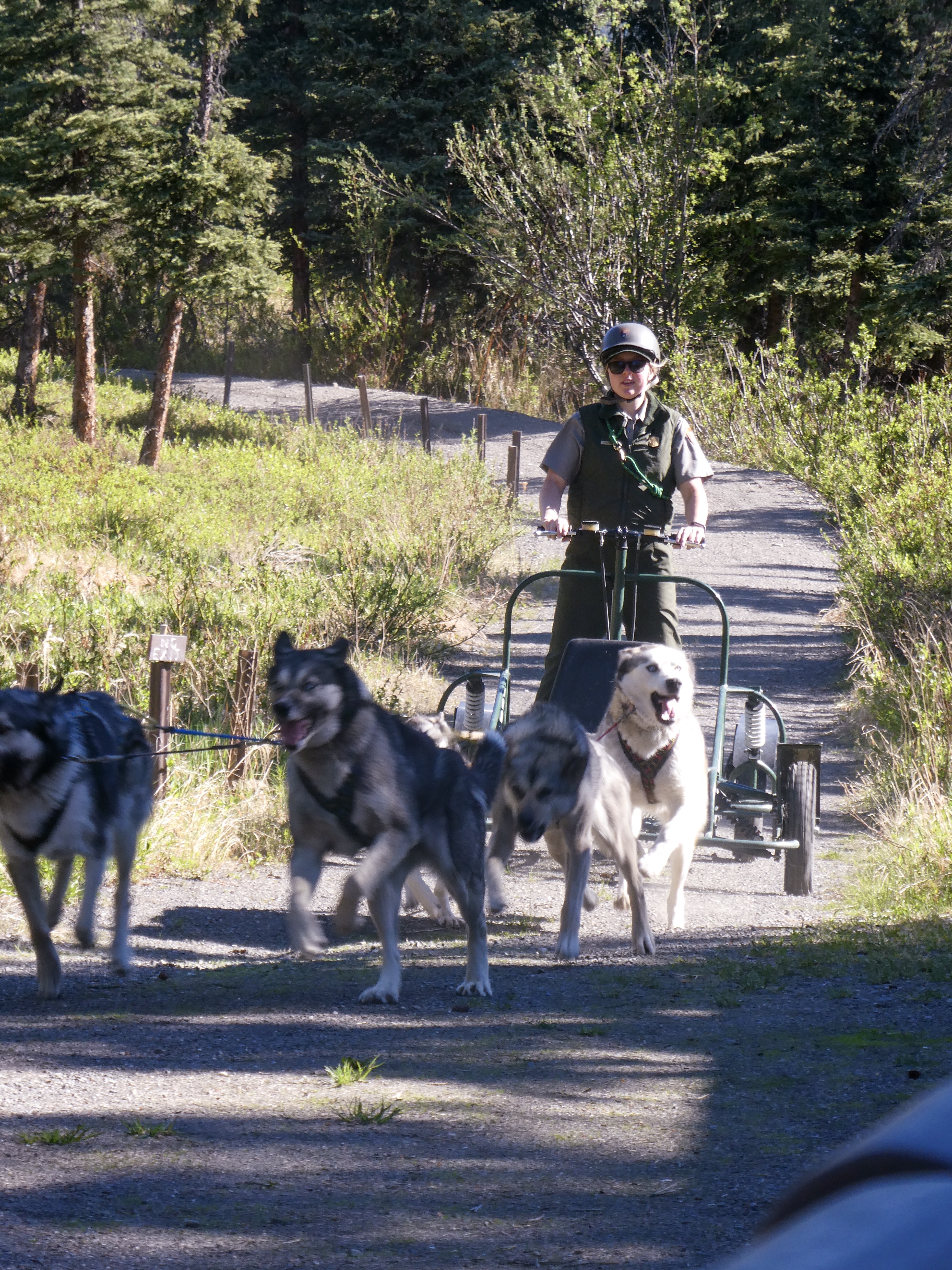
Sled dogs have hearts and brains that machines like snowmobiles and airplanes do not. Every kennels ranger has a story of wise lead dogs helping them navigate to a patrol cabin in a white out or to avoid dangerous ice obscured under snow. The dogs know this landscape so well they can provide invaluable wisdom that machines cannot. While a team of sled dogs is obviously far slower than an airplane or a snowmobile, they are arguably more reliable to operate in the extreme conditions of a sub-arctic winter.When it is 40 below zero it can be near impossible to try to start a motor, whereas a dog team simply needs a good breakfast and they are ready and willing to run.

Overflow is a common challenge on rivers and trails in Denali. Snowmobiles can get bogged down and sink in this slushy mess whereas a dog team can run right through it and roll in the snow to dry off on the other side. If a machine breaks down in the middle of remote wilderness like Denali you had better hope you are carrying the right spare parts and tools to fix it. However, if a sled dog gets sick or injured you still have the rest of the team to pull the sled while the injured one can run loose or ride in the sled until they are recovered.

Access

Similar to summer’s back-country rangers, kennels rangers on dogsleds contact winter recreationists and provide information on trail conditions, offer assistance, and monitor use in a low-impact style that preserves the wilderness spirit essential to Denali. The sled-dog trails made during winter field operations are used by winter recreationists who want to explore Denali on skis, snowshoes, or with their own dog team. In winter (November-April) you can use a map to track the travels of the NPS sled dogs and get updates on current conditions throughout the park.

Wonderful presentation by Ranger Jen describing the physical traits of a great sled dog.
Eager Alaskan Huskies pulling the training sled
Dogs going home in “two paw drive”
Shirley and Sally petting a ferociously dangerous sled dog.
Nice views of Denali – fairly rare.

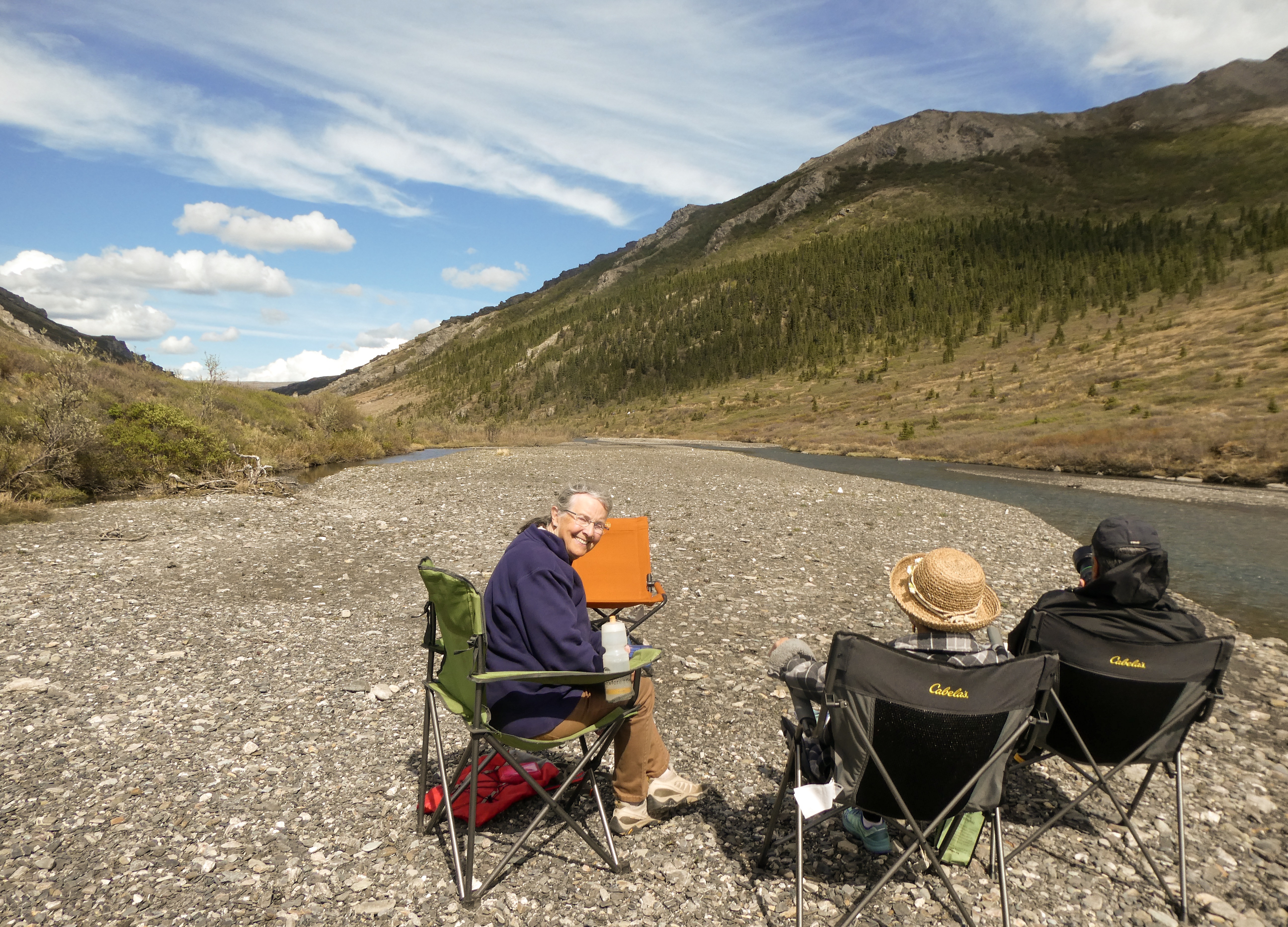
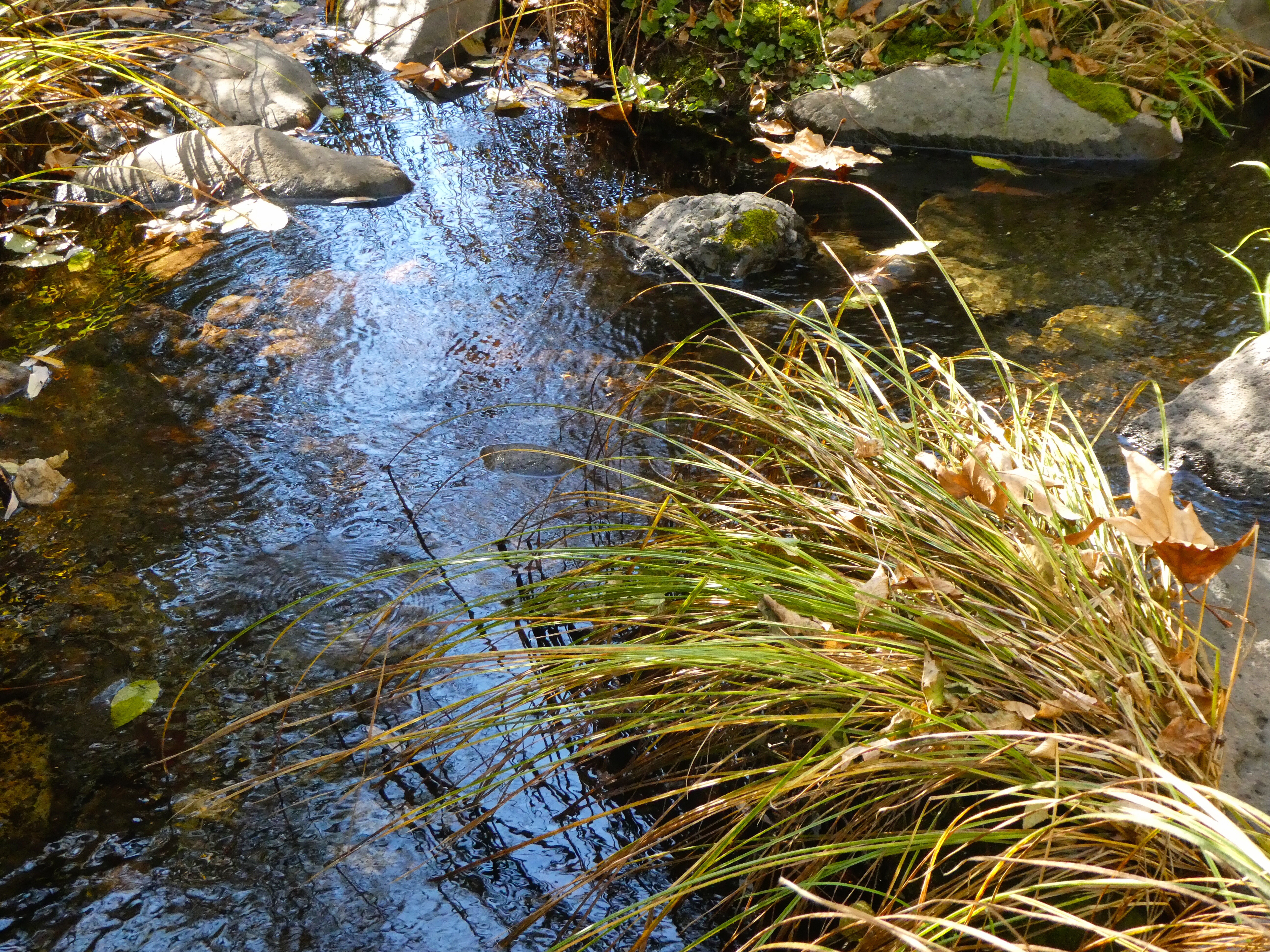
Picnic Lunch at Savage Creek

Mother Seagull on her nest by the creek.
Mom left her nest for a few minutes and we could see her eggs . Who knew seagull eggs were green?
Female seagull dive-bombing Ray as he photographed her nest .
Green eggs and Spam? Seagull omelette for dinner ….? No Way!!

The Denali Highway: 135 Miles of Unpaved Beautiful Wilderness

Meier’s Lake Roadhouse at the east end of the Denali Highway

No internet or phone service since Haines. Generally great weather. Occasionally it rained. Generally warmer (in the 60’s) than home in Colorado.

Wikipedia:

“The highway is now little used and poorly maintained, and closed to all traffic from October to mid-May each year. Only the easternmost 21.3 miles and westernmost 2.6 miles are paved; whether the remainder should be paved as well is a continual source of debate. Washboarding and extreme dust are common, the recommended speed limit is 30 mph

Winter travel on the Denali Highway is exclusively by snowmobile and dogsled. Automobile travelers are severely discouraged from attempting to traverse the road in winter; as recently as 1996 three persons died from exposure when snows blocked their progress. The road is cleared by DOT late in April and generally is passable by non-4WD from then until the first snows close it, usually late September on the eastern, tundra end and late October-early November on the lower, boreal forest western end.”

The description on the internet of the Denali Highway is scary, but the roads were actually better than the county roads to our cabin in Colorado!

Ray, bemused by the 1970’s era gas pumps which work better in the extremely cold winter temperatures
Strawberry rhubarb and berry pie with homemade vanilla ice cream
For $330 I could have purchased an authentic beaver hat. Warm! and I look like a rock star, don’t I?
The Trans Alaska Pipeline. A scar upon the land.
Maclaren Mountains as we climb to the pass.
Maclaren summit Second highest in Alaska
Camping next to Clear Creek
Some fishin’ but no catchin’ on Clear Creek.

Breakfast and Pie at the Alpine Lodge:

The Alpine Lodge

“We are a wilderness lodge in remote Alaska. We are open year round, every day. Alpine Creek Lodge is on the Denali Highway, so travelers can get there in the summer via a gravel road. 68 miles West of Paxson Alaska, and 67 miles East of Cantwell, Alaska. In the summer, we offer hiking tours, photography tours, wildlife viewing tours, gold panning tours, fishing tours and much more! Fully guided, or you can do it yourself! In the winter, the road is not plowed from October 15th to May 15th. During this period, snow machine, dog mushing, skiing, etc are the only way to get to us. Drop off and pick up are available in Cantwell, Alaska via snow machine or tracked vehicle. We are on the South side of the Alaska Range, in the Clearwater Mountains, and this is where you will find real Alaska!”

While we visited the Alpine Lodge, we spoke with the owner and hunters staying there who were harvesting excess grizzly bear (supervised by Alaska game and fish). Grizzlies had almost eliminated the moose population and cameras mounted on grizzlies had evidenced killing sprees of moose calves, fox, Trumpeter Swans, Ptarmigan, beavers and other game animals. The grizzlies killed without eating, then moved on to the next opportunity.

In the winter, the Alpine Lodge gets fresh food and supplies every couple weeks from Cantwell (67 miles to the west). They have a Jeep fitted with tracks (a $10,000 accessory) allowing then to travel the Denali Highway over the snow where otherwise only dog sled mushers or snow machines can go.

Chrissy served up omelettes, spam, hash browns and apple and berry pie!
Ray decorating his omelette with Sri Racha
Oh yes, did I mention there was pie? Best in Alaska so far!
Trumpeter Swan, one of many we saw along the Denali Highway
Campsite on Seattle Creek “Just singin’ in the rain”
Getting close to the end of the Denali Highway
Our first sight of Denali, the mountain, wreathes in clouds
Denali National Park

Next – Denali National Park

North to Alaska 🐾

From Colorado to Bellingham, Washington

Along with our good friends Ray and Shirley Yang, Sally and I are embarking on a land and sea voyage to Alaska.

Starting separately, we will meet Shirley and Ray for dinner with friends in Spokane Washington, then later again on May 17th at the Bellingham, Washington Alaska Ferry Terminal to load our campers on the ferry for the second leg of our journey.

After three days of coastal marine sightseeing, we will disembark in Haines, Alaska where we will connect to the Alaska Highway and begin our driving tour of Alaska and the Yukon.

Please visit http://davidwwillett.blog to sign up for email notifications as I post updates.


Leaving Fort Collins, we camped the first night on Bear Lake.

Bear Lake is a natural freshwater lake on the Utah-Idaho border in the Western United States. About 109 square miles (280 km2) in size, it is split about equally between the two states.

The south end of the lake, in the area of modern-day Laketown, was the location of a rendezvous in the summer of 1827 and 1828. Mountain men, including Jedediah Smith and Jim Bridger, gathered at this location, along with trade goods suppliers, and American Indians from several different tribes. The mountain men and Indians sold their furs in exchange for various store goods and supplies, and several weeks were spent reveling in assorted amusements and liquor.

Sunset on Bear Lake

We spent the second night at Bruneau Sand Dunes State Park, Utah.

The state park is the site of North America’s highest single-structured sand dune which is approximately 470 feet (140 m) high.[A] The park encompasses 4,800 acres and features the Bruneau Dunes Observatory, where visitors can use a telescope for stargazing.

Bruneau Sand Dune

On our way to our friends, the Millers in Spokane, we drove through the lovely Northern Idaho and Western Washington countryside.

Mother’s Day dinner, remote campsite, Northern Idaho

Fragrant Canola in bloom, Fenn, Idaho

Miller family hike, Palisades Park, Spokane amid blooming Camas

Lovely ladies!

Millers, Yangs and Willett’s, Cedars Floating Restaurant, Lake Coeur d’Alene, Idaho

Sally and grandson Drake

After a stop with daughter Julie and family in Seattle, we meet the Yangs at the Alaska Ferry terminal in Bellingham on May 20th.

An “Old-Fashioned” Wyoming Horseback Elk Hunt

Grizzlies and Wolves and Elk, Oh My!

My son-in-law, Ben, and I recently returned from a guided horseback elk hunt with Lynn Madsen, at Yellowstone Outfitters, Afton, Wyoming.  It was incredible!

Here’s what Lynn has to say about his outfit:

“Our Hawks Rest Camp is located in the Teton Wilderness northeast of Jackson…It sets off the southeast corner of Yellowstone Park between the Yellowstone and Thorofare Rivers (Area 60 on a Game & Fish map). It is one day-pack 28 miles, from our base camp at Turpin Meadows…The Hawks Rest camp holds the reputation of being the furthest spot in the continental United States from a road in any direction. Not only will you be hunting in one of the best trophy elk camps in the United States but you will also be hunting in country that looks the same as it did 100 years ago.

Our fully equipped camp consists of a large cook tent, shower tent, sleeping tents with cots, foam mattresses, and wood burning stoves along with plenty of fire wood. We are proud to say that our camps hold an excellent reputation earned by hiring reputable licensed guides, maintaining a clean comfortable camp, serving good food and supplying both good horses and mules and equipment.”

Well, our experience lived up to Lynn’s promotional material and then some.  We had a “once in a lifetime” experience.  Read on, if you are interested in the details.

Ben flew in from California and the following day we made the 8 hour drive from Fort Collins, Colorado to Jackson, Wyoming, where we spent the night.  You can fly into Jackson’s small airport, but it’s kinda expensive and you have to pay hundreds of dollars to ship your elk meat back home, so driving seemed like the frugal option.  Besides we were able to enjoy each other’s company and the lovely Wyoming scenery as we motored along.

On Monday morning October 9th we rose early, ate breakfast and made the 1 hour drive north and East to Turpin Meadows where we met Lynn, our guide, four other hunters and were introduced to our horses who would become our new and closest friends for almost 10 hours today.

Lynn provided quality, well cared for horses that are a cross between big, strong draught horses (for strength and stamina) and quarter horses (to reduce the size).  They are still really big, tall horses and getting a leg up into the stirrup was my yoga/stretching challenge each time we mounted.  Getting off was no issue, but is was a long way down.

fullsizeoutput_810e
The yellow marker highlights the beautiful pack trail into camp.  We cross the Continental Divide at Two Ocean Pass and gain over 1,300 feet in elevation over the 28 mile trek.

fullsizeoutput_8107
Hunters “chew the fat” while pack mules wait patiently

Heading up the mountain, we were passed by Lynn’s string of mules bringing our gear and replenishing needed supplies.  On the way in we passed several sets of grizzly and wolf tracks.

Nearly there!  Riding through the Yellowstone Valley, soon to cross the Yellowstone River, Hawk’s Rest Mountain in the distance.

Continue reading “An “Old-Fashioned” Wyoming Horseback Elk Hunt”

Lower Antelope Canyon and Navajo National Monument

Lower Antelope Canyon

Antelope Canyon is located near Page on Navajo Nation land, just outside Glen Canyon National Recreation Area. Antelope is the most visited slot canyon in the Southwest, partly because it is easily accessible and by far the most publicized, and also since it is extremely beautiful, with just the right combination of depth, width, length, rock color and ambient light; many other slot canyons are deeper, narrower or longer, and some have rock that is even more colorful and sculptured, but here conditions are ideal.”


Our Hopi guide Mathew takes us down into the canyon

 “Antelope Canyon was formed by erosion of Navajo Sandstone, primarily due to flash flooding and secondarily due to other sub-aerial processes. Rainwater, especially during monsoon season, runs into the extensive basin above the slot canyon sections, picking up speed and sand as it rushes into the narrow passageways. Over time the passageways eroded away, making the corridors deeper and smoothing hard edges in such a way as to form characteristic “flowing” shapes in the rock.”

Navajo National Monument

Navajo National Monument is a National Monumentlocated within the northwest portion of the Navajo Nation territory in northern Arizona, which was established to preserve three well-preserved cliff dwellings of the Ancestral Puebloan People: Broken Pottery (Kitsʼiil), Ledge House (Bitátʼahkin), and Inscription House (Tsʼah Biiʼ Kin). The monument is high on the Shonto plateau, overlooking the Tsegi Canyon system, west of Kayenta, Arizona. It features a visitor center with a museum, two short self-guided mesa top trails, two small campgrounds, and a picnic area. Rangers guide visitors on free tours of the Keet Seel and Betatakin cliff dwellings.“

After a short hike to view the Betatakin cliff dwelling, we settled into our lovely campsite for the evening. This time of year, the campground was nearly empty and is always free of charge!

Sedona Arizona

Sedona is an Arizona desert town near Flagstaff that’s surrounded by red-rock buttes, steep canyon walls and pine forests. It’s noted for its mild climate and vibrant arts community. Uptown Sedona is dense with New Age shops, spas and art galleries. On the town’s outskirts, numerous trailheads access Red Rock State Park, which offers bird-watching, hiking and picnicking spots.

Dramatic sandstone formations such as Cathedral Rock and Bell Rock appeal to photographers and enlightenment-seekers, as does the modernist Chapel of the Holy Cross, built into rust-colored rocks. Oak Creek Canyon has trails for hiking and mountain biking, plus sites for camping and fishing. Part of the canyon is home to Slide Rock State Park, named for its natural water chutes, popular for swimming. Native American petroglyphs can be seen in the Coconino National Forest heritage sites V Bar V, Palatki and Honanki (the latter 2 also feature cliff dwellings).

Oak Creek Canyon

Airport Mesa Loop Trail

After visiting one of the four famous Sedona vortexes, we enjoyed a beautiful 4.5 mile sunset hike around Tabletop Mesa.

There is no other hike in the Sedona area that offers such awe-inspiring views as the Sedona Airport Mesa Loop Trail. It offers hikers a 360-degree panorama with views of almost every major red-rock landmark along the perimeter at an elevation of 4,500 feet.


Death Valley National Park

With 3 million acres of wilderness, Death Valley is the largest national park outside Alaska. Elevations in the park range from -282 feet below sea level at Bad Water (the lowest point in North America), to 11,049 feet at Telescope Peak. The park encompasses 3.3 million acres and normally enjoys summer temperatures in the 110’s and 120’s, but also experienced a record temperature of 134 degrees Fahrenheit. It is considered the hottest place on earth and the driest place in the United States.

Of the more than 900 plant species found, 19 are unique to this area.

Driving in from the south as the sun sets, we make our way up a narrow winding road to the Wildrose Campground at 4,100 ft elevation. The mountains being much cooler than the surrounding desert, the temperature dropped quickly from 72 degrees, down to a low of 31 degrees in the early morning.

Up early at Wildrose Campground, we drove the dirt road up Wildrose Canyon toward the Charcoal Kilns and Mahogany Flats.

The 25’ high Charcoal Kilns were used to produce charcoal to smelt lead and silver from local ore mined beginning in 1877, and ceased operations shortly afterward.

After the Kilns, the 4WD Road gets a bit rough, climbing to the Mahogany Flats Campground and the road’s end at 8,133 ft.

Returning the way we came, we head for the Visitor’s Center to view the exhibits and plan a sunset photo tour of the park.

On the way, we encounter a small herd of feral donkeys, turned loose after mining operations ceased in the late 19th century.

From the Visitor’s Center we set out for Bad Water Basin and Artists Drive before the sunset. On the way we pause at the Harmony Borax Works and an example of the “20 Mule Team” borax mining transportation and extraction methods.

Next stop: Badwater Basin

Badwater Basin is an endorheic basin in Death Valley National Park, noted as the lowest point in North America, with a depth of 282 ft (86 m) below sea level. Mount Whitney, the highest point in the contiguous 48 United States, is only 84.6 miles (136 km) to the northwest.

The site itself consists of a small spring-fed pool of “bad water” next to the road in a sink; the accumulated salts of the surrounding basin make it undrinkable, thus giving it the name.

From Bad Water we quickly travel to Artists Drive to attempt to capture the beautiful mineral colors in the hot light of sunset.

Artist’s Drive rises up to the top of an alluvial fan fed by a deep canyon cut into the Black Mountains. Artist’s Palette is an area on the face of the Black Mountains noted for a variety of rock colors. These colors are caused by the oxidation of different metals (iron compounds produce red, pink and yellow, decomposition of tuff-derived mica produces green, and manganese produces purple).

Called the Artist Drive Formation, the rock unit provides evidence for one of the Death Valley area’s most violently explosive volcanic periods. The Miocene-aged formation is made up of cemented gravel, playa deposits, and volcanic debris, perhaps 5,000 feet (1500 m) thick. Chemical weathering and hydrothermal alteration cause the oxidation and other chemical reactions that produce the variety of colors displayed in the Artist Drive Formation and nearby exposures of the Furnace Creek Formation.


Artists Palette

Artists Drive is a very narrow one-way road restricted to vehicles less than 25 feet in length.

Alas, dusk put an end to our photographic endeavors, but a sunset dinner back at our campsite provided more than adequate recompense.

There is so much to experience in Death Valley and we have barely scratched the surface. We will undoubtedly return!

Tomorrow, on to Flagstaff and Sedona Arizona.

The Mojave National Preserve

Lovely desert wilderness…..

Driving in from the from Las Vegas, Nevada to the north, the road turns from paved to dirt and then to very rough dirt. Not awful, but the Park Service does advise 4WD vehicles only. The desert dusk scenery is lovely and I am the only vehicle on this 40 mile stretch of road. I find plenty of open campsites at Hole-in-The-Wall Campground and settle in for the night.

The Mojave National Preserve encompasses 1.6 million acres, including portions of the Mojave, Great Basin and Sonoran Deserts  About half of the Park is congressionallly designated wilderness.

Sunrise Hike: Rings Loop Trail, Hole-in-the-Wall Nature Trail and Barber Peak Loop Trail

Mojave Yucca

Buckhorn Cholla Cactus

Banshee Canyon

The ascent is so steep, hikers climb using iron rings mounted in the rock for hand and toe holds in two sections.

Beavertail Cactus

Barrel Cactus

Although the landscape appears barren, the Mojave Desert is home to a plethora of wildlife including Bighorn Sheep and the Desert Tortoise.

Lovely desert landscape

Sunset

Colorado Backcountry Camping Above 10,000 Feet

Sally’s first nights in a tent in over 30 years (she, of course was 9 years old then…..🏕

I planned a 3-day off-road tent camping trip with my lovely wife Sally, to appreciate the summer Colorado High Country. I “tent-camp” annually, but Sally has not slept in a tent for 30+ years. Will she agree to go again?  I will do my best to make this trip adventurous, fun and also offer tasty dishes to entice her back again!

We will tour “Jeep trails” in the Roosevelt National Forest of Northern Colorado at around 10,000-11,000 feet elevation, do some fishing and explore the natural beauty.  There are still lots of wildflowers in the Colorado high country in late July!

Continue reading “Colorado Backcountry Camping Above 10,000 Feet”